A Reverie?
December 22, 2025
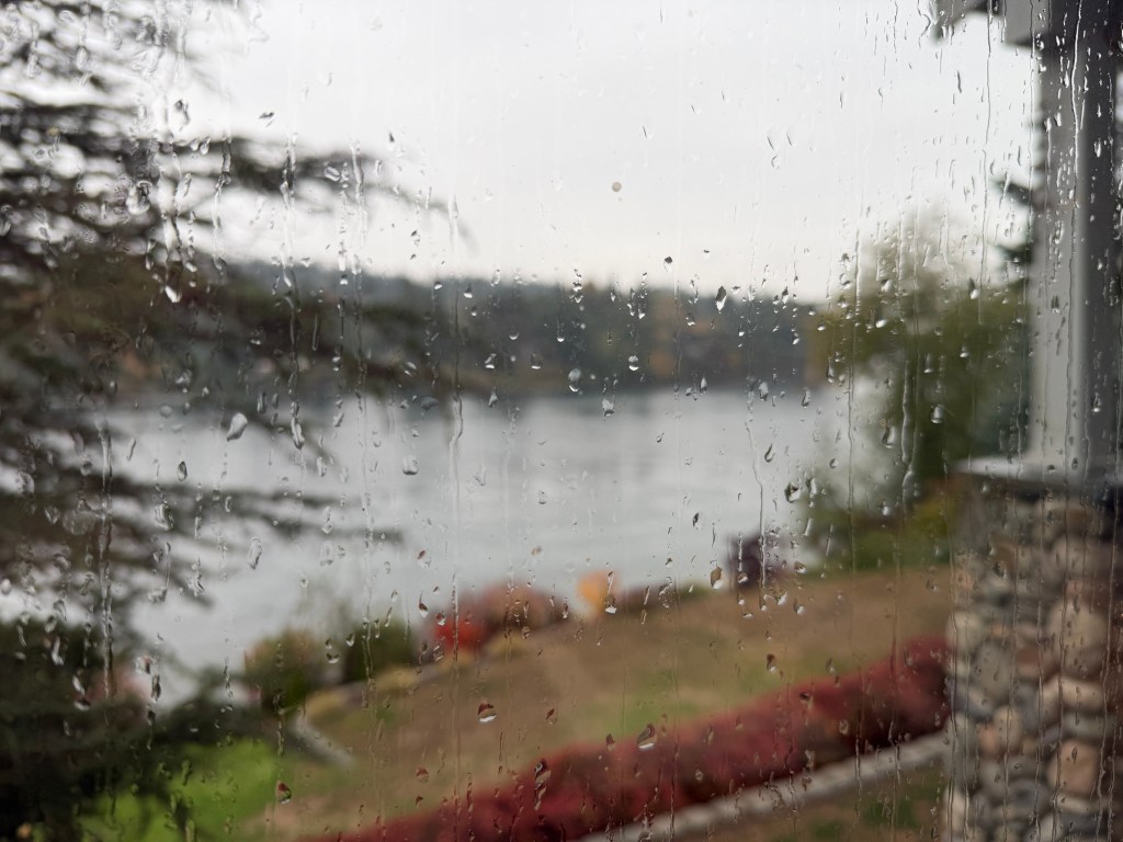
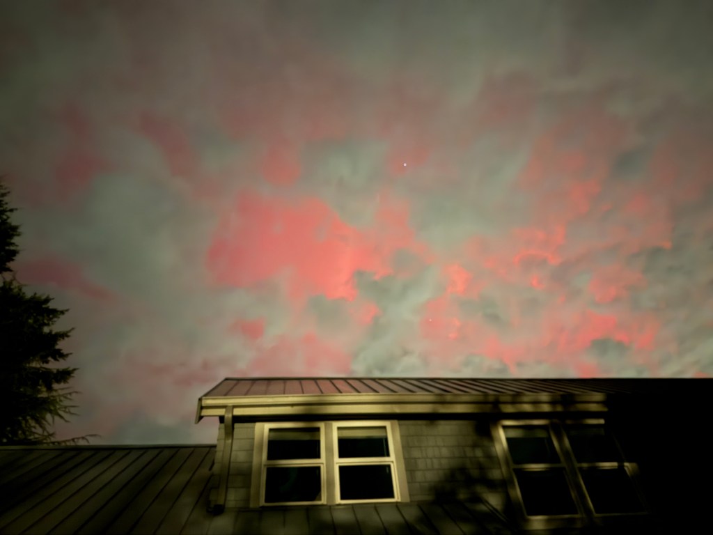
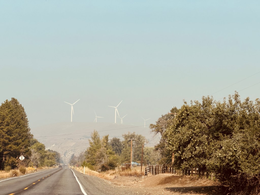
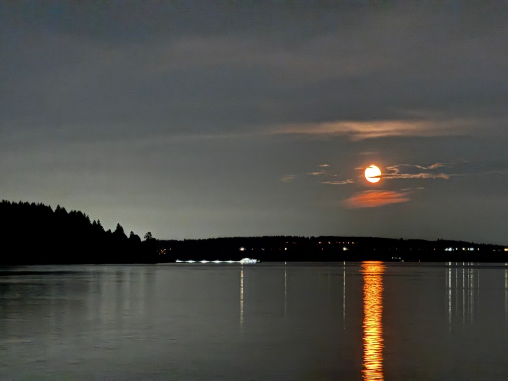
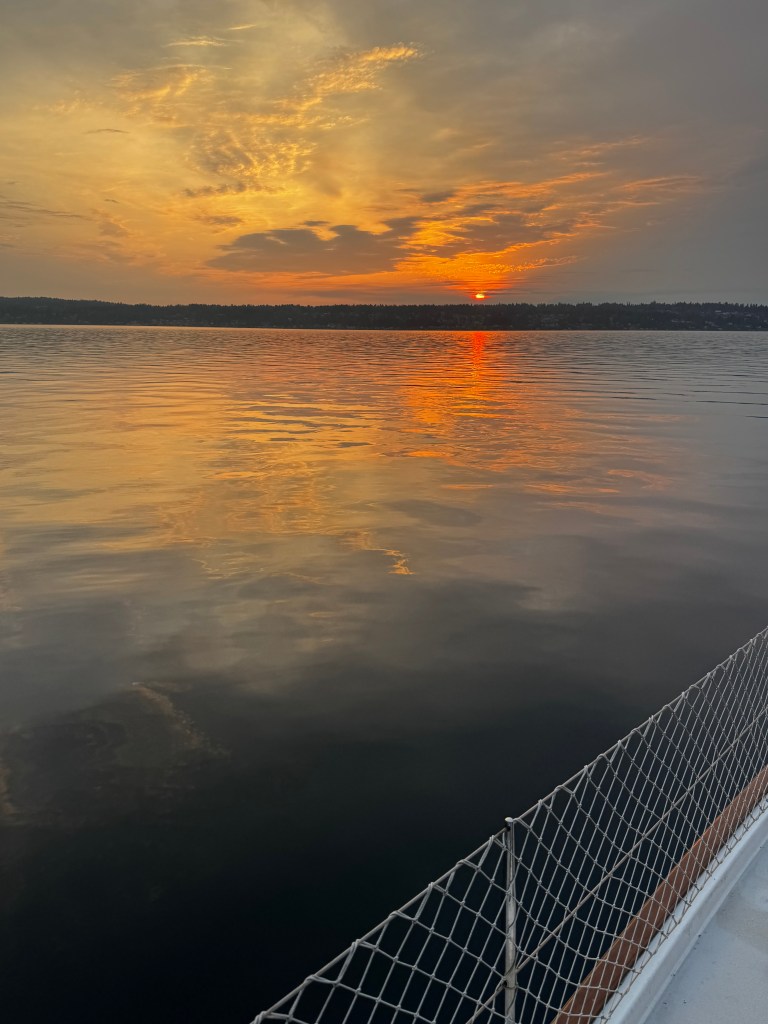
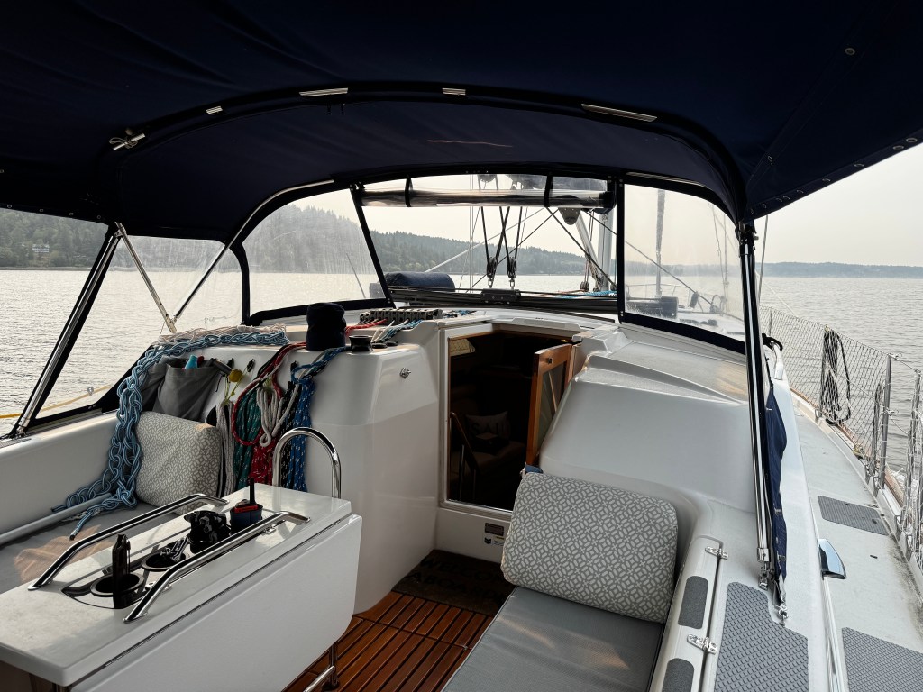
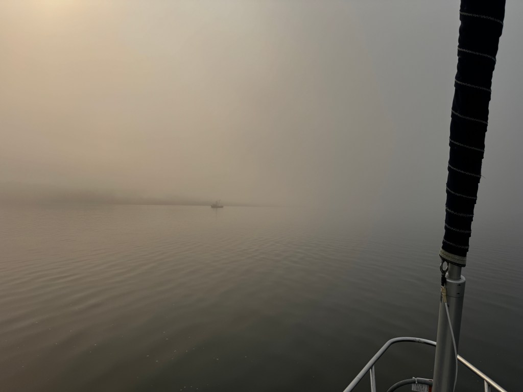
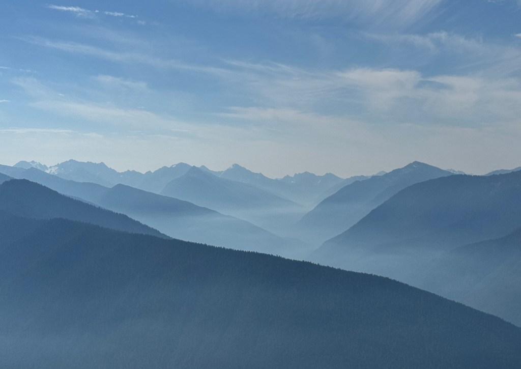
Back home, watching wind-driven waves march down Agate Pass, we talk of our trip as though it were a dream.
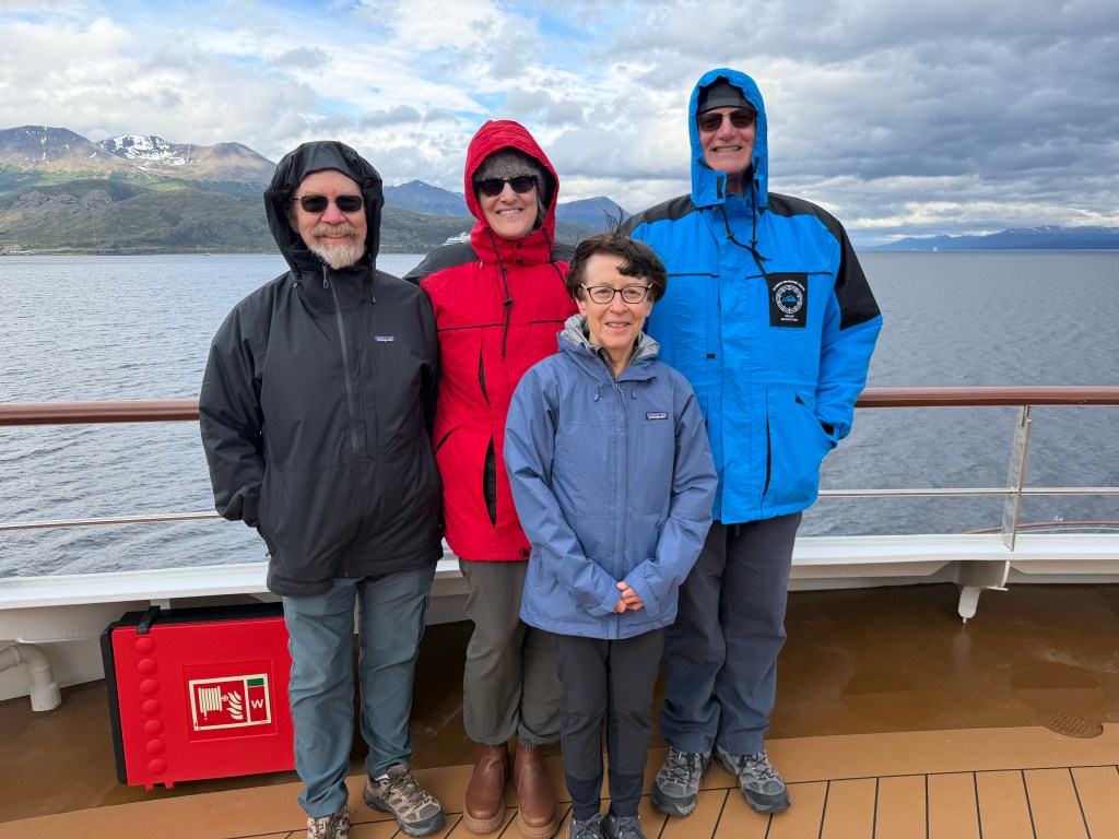
Our crossing back over the Drake Passage was a bit rougher, but nothing like the “Drake Shake” we had heard so much about. All the talk amongst the guides was how lucky we had been with the weather and the crossings, and we couldn’t agree more.
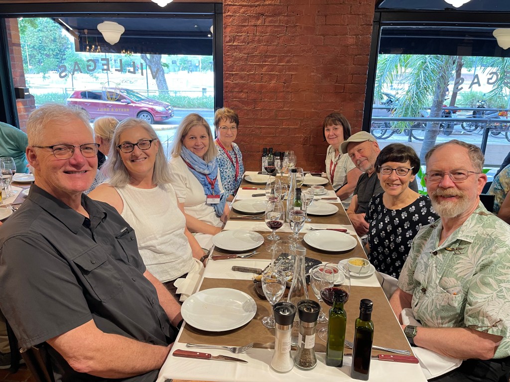
We made the most of our time aboard, with lectures on wildlife and polar explorers, Agentinian wine tastings and an introduction to Mate, a drink that is sacred to many Argentinians. Made from Yerba Mate, an herb that is cut and dried in various ways, the drink is a very precise blend of just-so heated water to a carefully prepared amount of herb, then sipped through a straw with a filter.
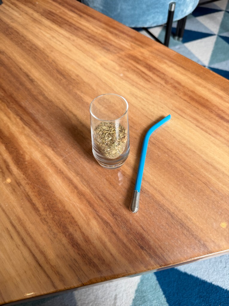
To my unrefined palate, it tasted of bitter grass, but thousands of Argentinians wander about with a thermos of hot water under their arms to refill their “bomba” of herb plus straw throughout the day.
After being thoroughly pampered for over a week, we disembarked into a crowded bus and were dropped without ceremony back at the airport. Here I had a happy reunion with my bag, which had lived a decidedly un-pampered existence.
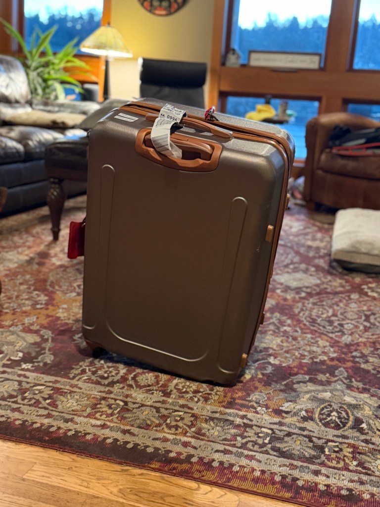
It was missing two of it’s four wheels and it’s zipper was broken. To add insult to injury, I had to pay an extra baggage fee of $100 to ship I back home, as I now had duplicate everything and my fare covered only one bag.
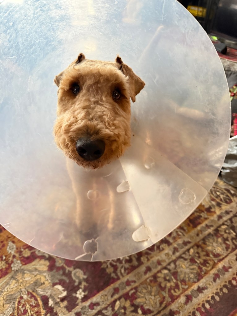
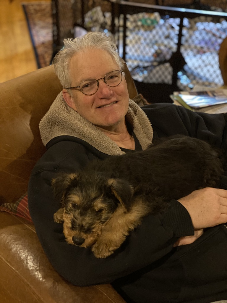
Our flight home was uneventful, and our reunion with the pups was joyous even with the caveat that Phinn was in a cone after scratching his cheek raw. The thought of him banging about the house in a panic gave us some pause, but it’s almost like he is calmer in the cone! Perhaps it’s like a horse with blinders on…
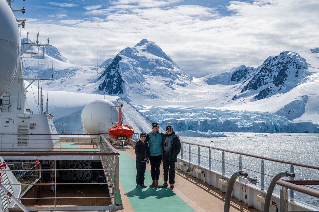
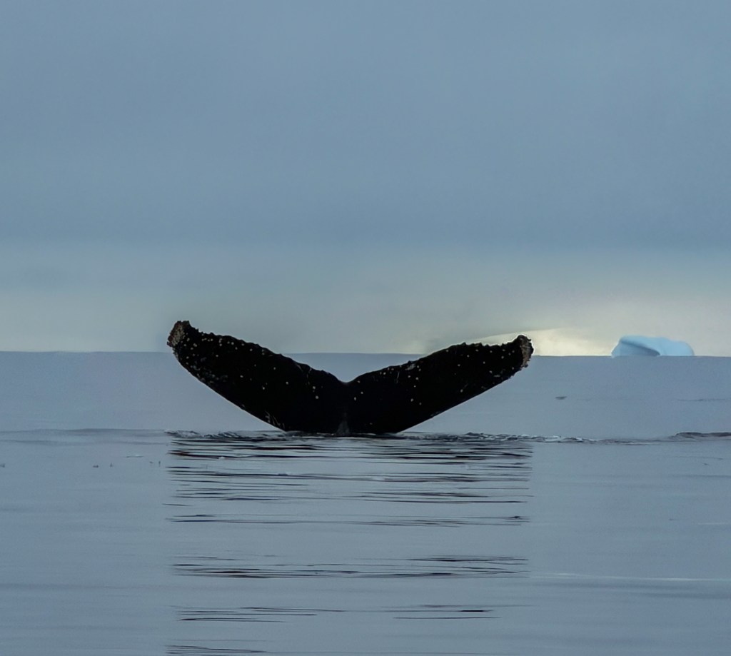
Getting emails from our fellow travelers and trip guides with the pictures from an on-board photo contest only add to the dream-like feel of our trip. So many talented people, including our dear friend Dianne and her spectacular shot of a whale tail amongst the icebergs.
Our guides had told us that we needed to go to the Arctic next, and on the heels of this wonderful experience, today we booked the only arctic trip offered in the next year-North to Svalbard!

Photo credit Alan Benson
Paradise
December 14,, 2025
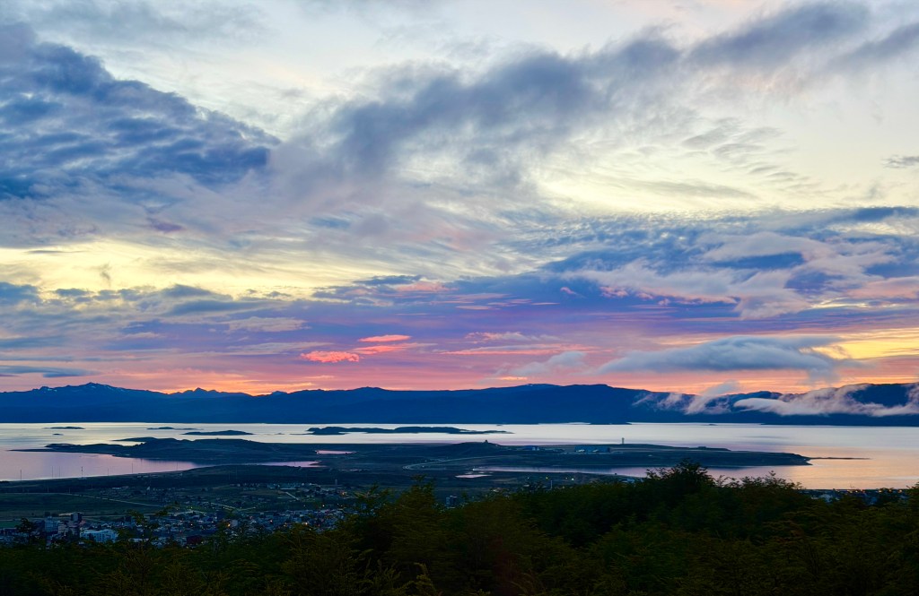
Our ship rocks gently up and down, a soothing movement that had us sleeping in past 7 am this morning. Cape petrels and albatross ride the breeze off our balcony and the Drake passage rolls away to the horizon. We’re reluctantly heading home.
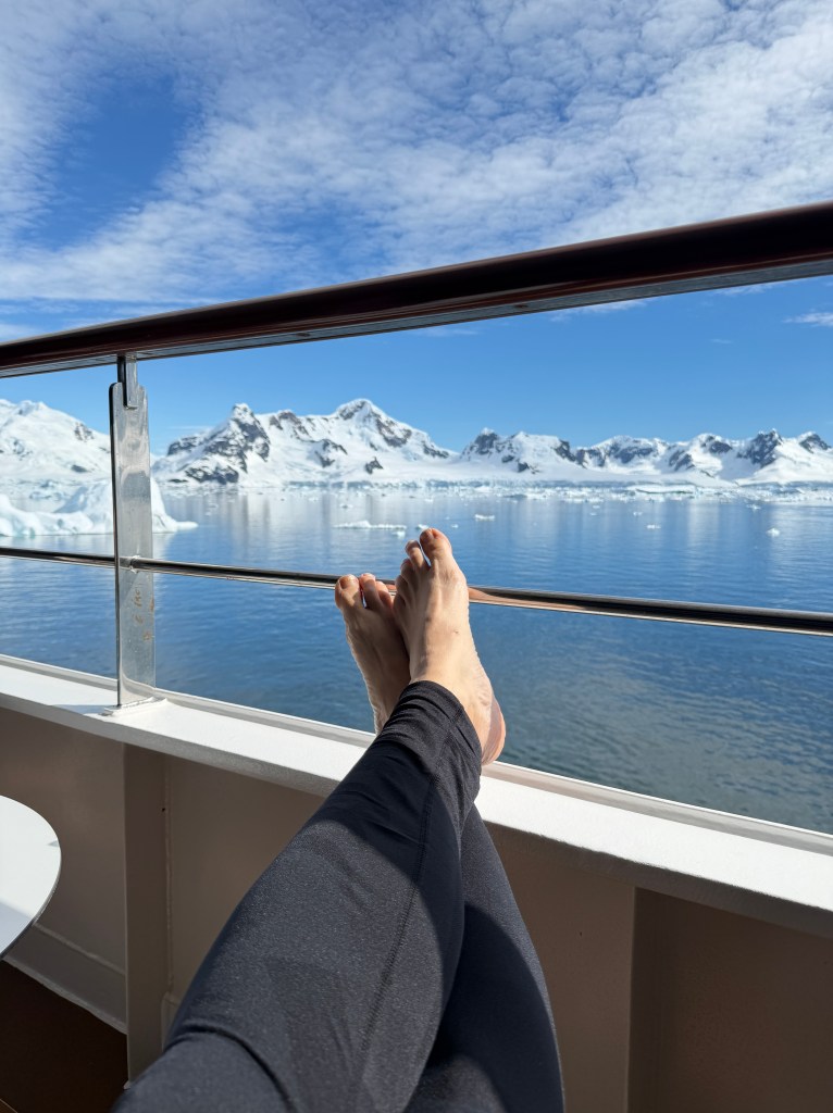
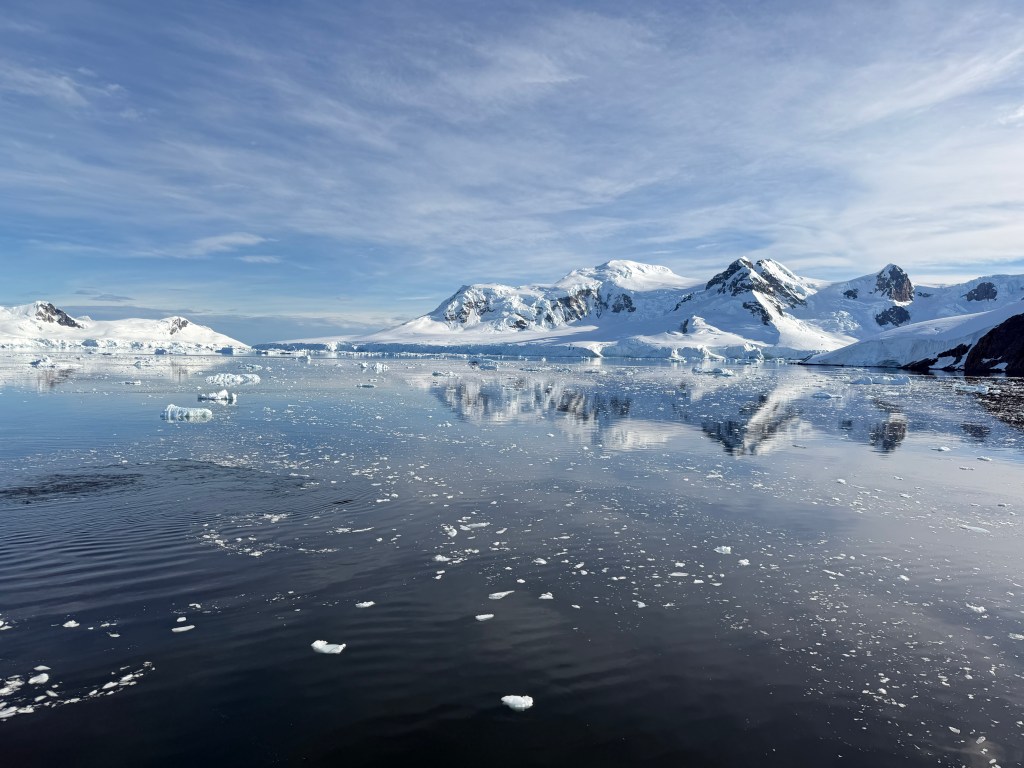
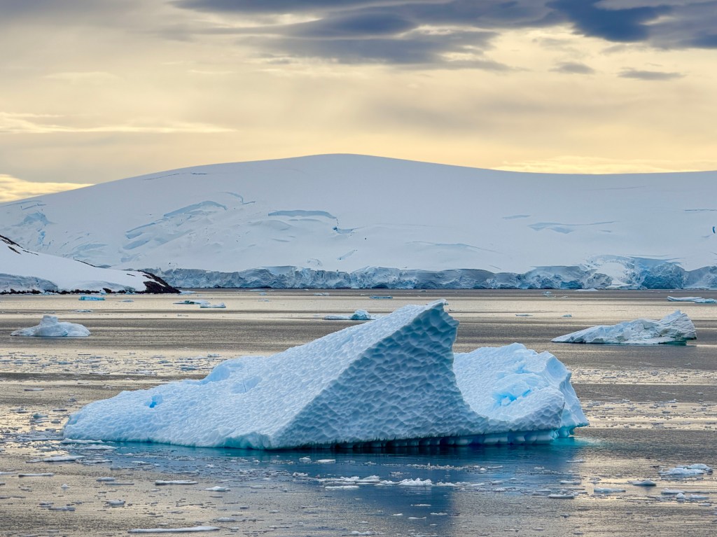
Yesterday was our last day in Antartica. Another gorgeous, sunny day which has us relaxing on our deck barefoot with icebergs in the background. The occasional “pssshhhh” sounded, as whales exhaled around us.
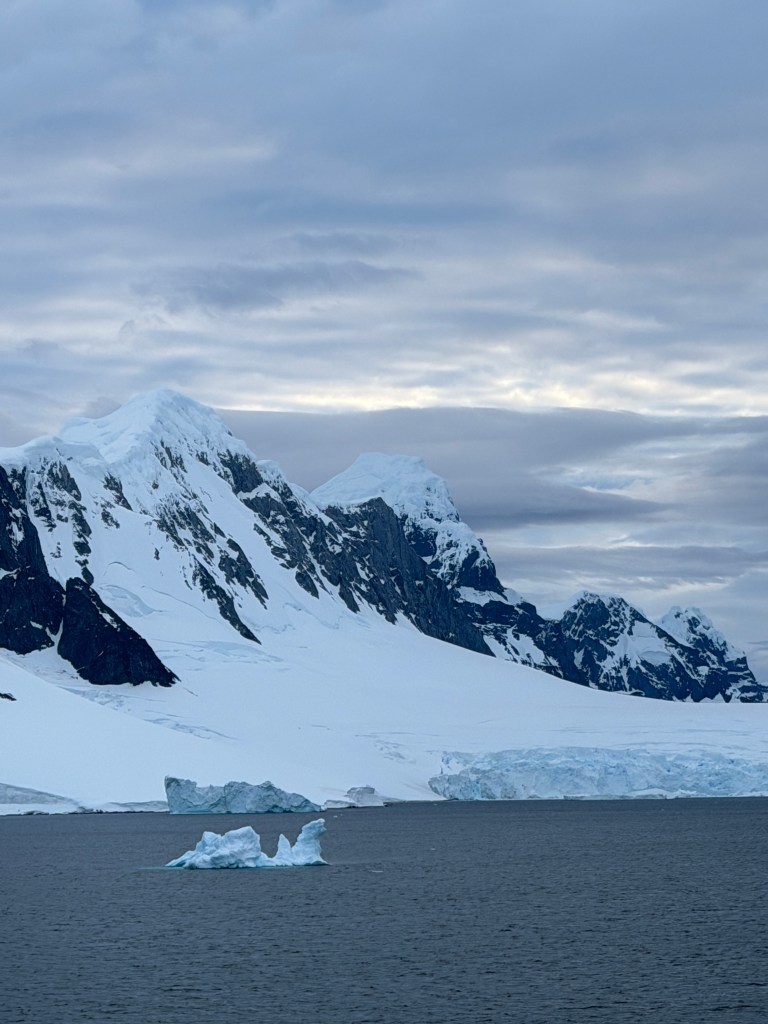
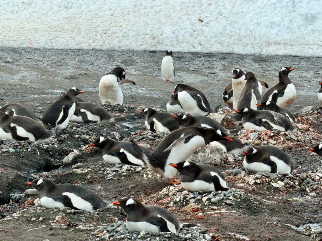
This was Paradise Bay, a fitting name for our final stop..
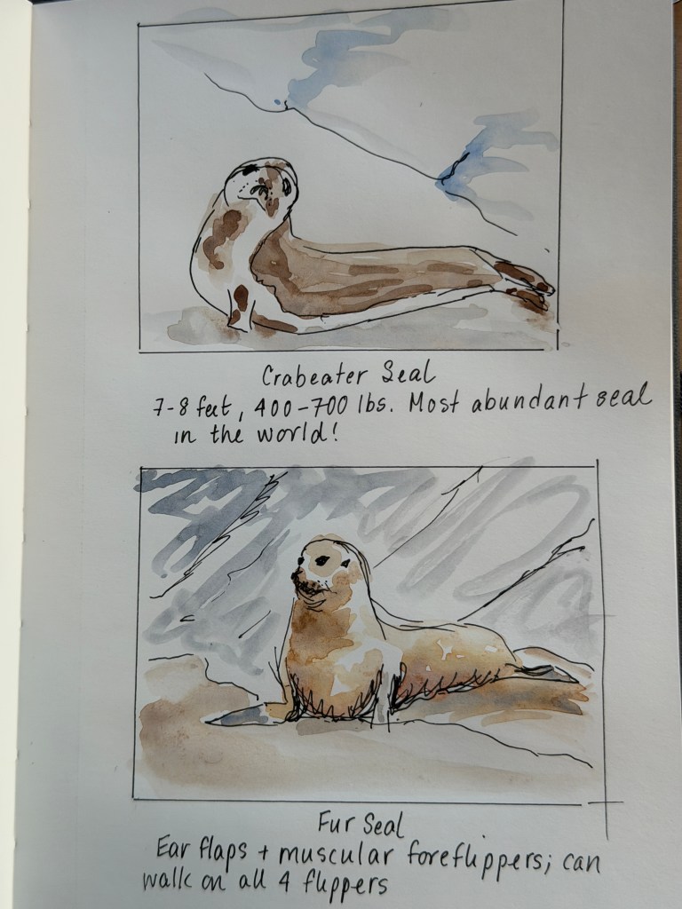
Littered with brush ice and larger bergs topped with crab eater seals and gentoo penguins, this place is nature at it’s finest.
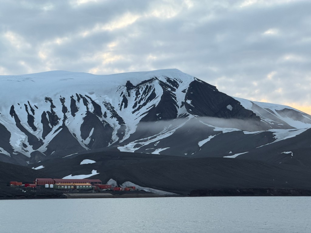
We visited Brown base, an Argentinian scientific outpost currently run by Weddell seals who seem to be lying down on the job.

On our way back to the ship we came upon a sleeping humpback resting peacefully at the surface, the only sign of movement an occasional breath.

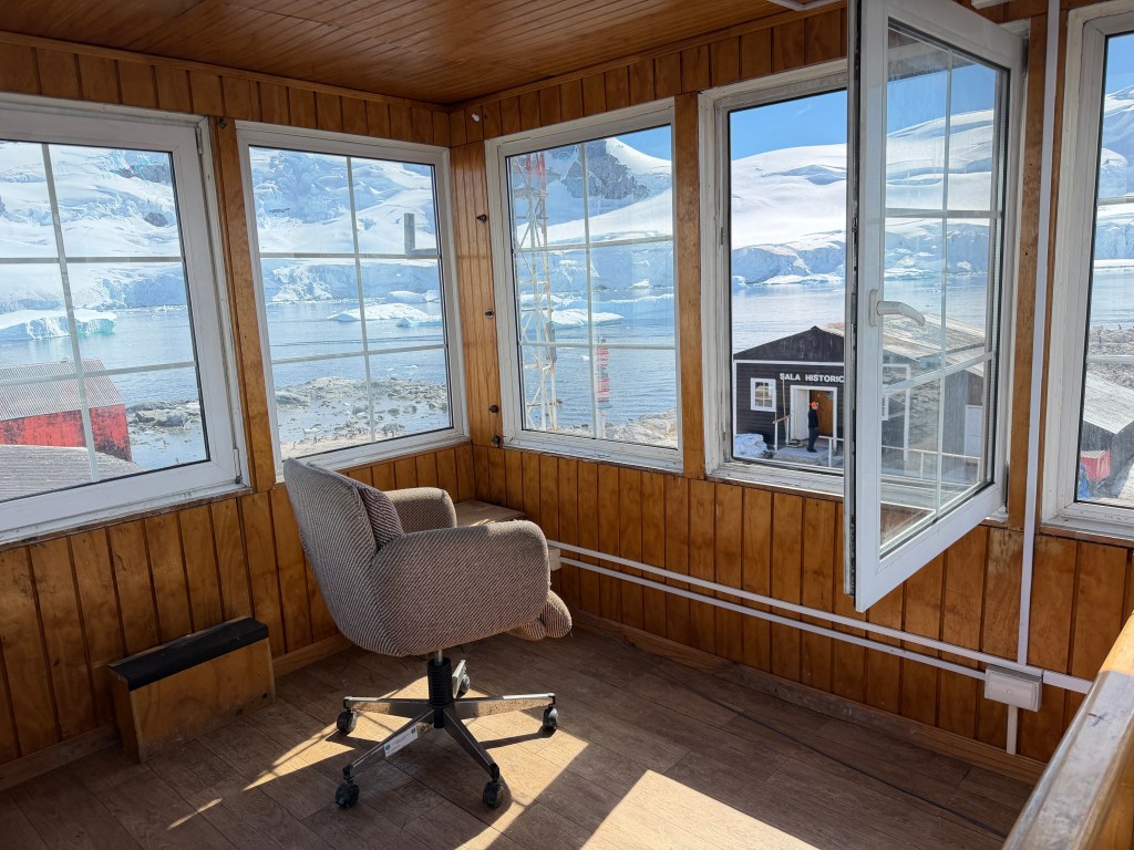
The afternoon brought a zodiac tour through larger bergs en route to a Chilean research station and the home of hundreds of gentoo penguins. Were I a seal, not a bad gig in these parts, I picked out the iceberg I would occupy, complete with it’s own plunge pool.

The station sits in splendid isolation, and is staffed by 14 people from November through March, and hundreds of gentoo penguins year round.
We got a tour of their modest facilities, including a spectacular lookout tower.
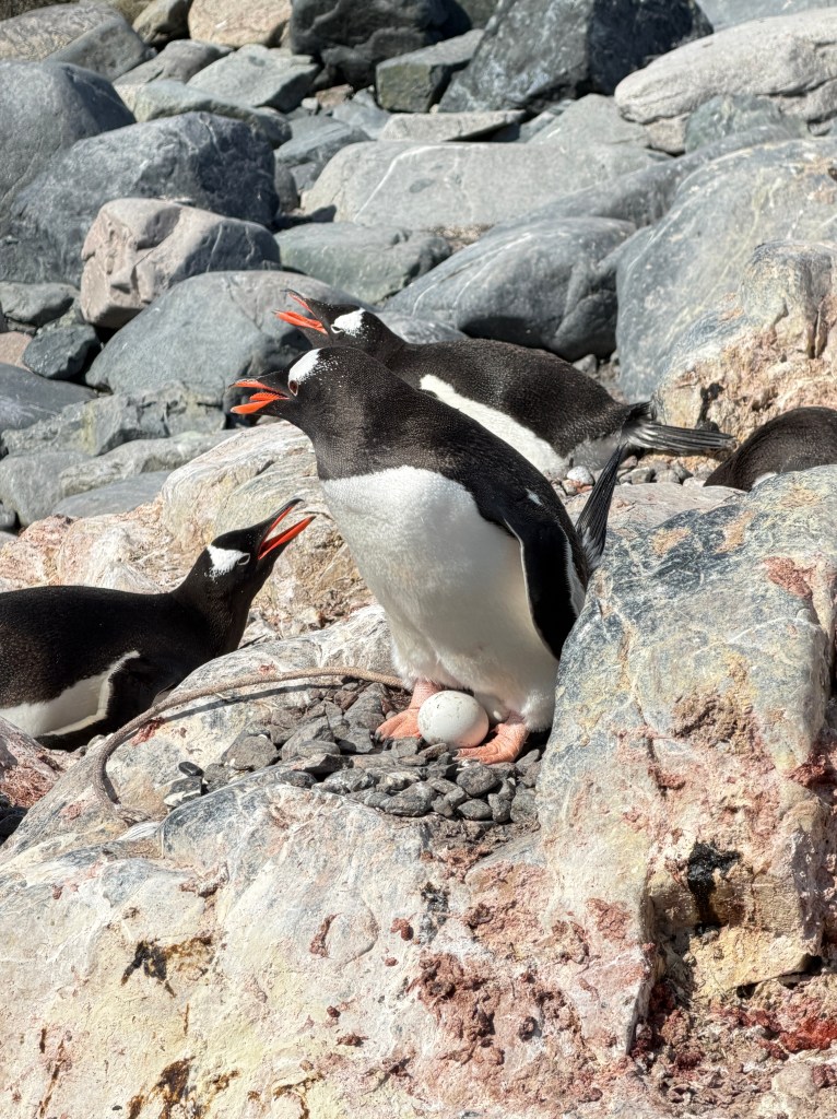
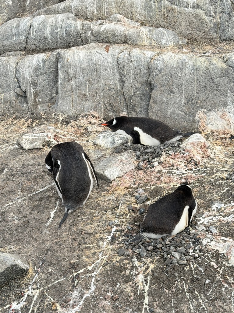
The penguins were busy guarding their eggs and maintaining their nests, protecting them not only from the large seagull-like skua birds that are the pirates of the Antarctic, but from one another as well. In unguarded moments, neighboring penguins snuck rocks from one another’s nests and waddled off quickly, followed by much annoyed squawking.
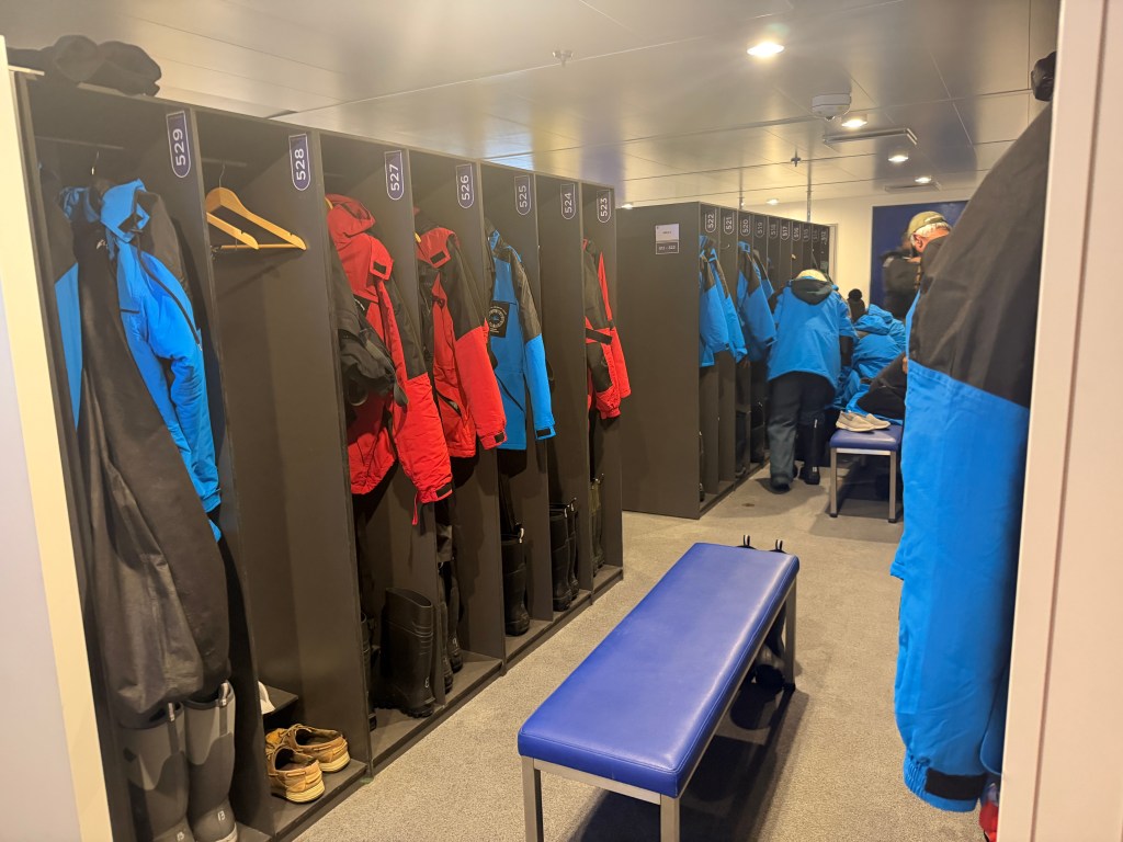
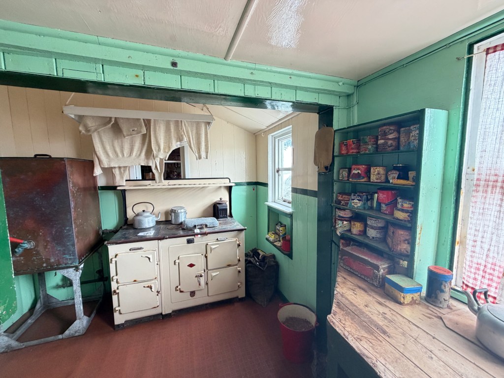
Back aboard, we said our good byes to the mud room, where we kept our waterproof pants, heavy parkas and muck boots-no more shore excursion for us…
We stood on our balcony as we cruised away, sliding past icebergs topped with penguins while humpbacks’ steamy breath drew vapor columns in the background. Does this ever get old, we wondered? Then I looked off to my right to see our ship’s captain on the bridge, watching the scene just as we were. He waved, then raised his camera to capture one last picture of Paradise.

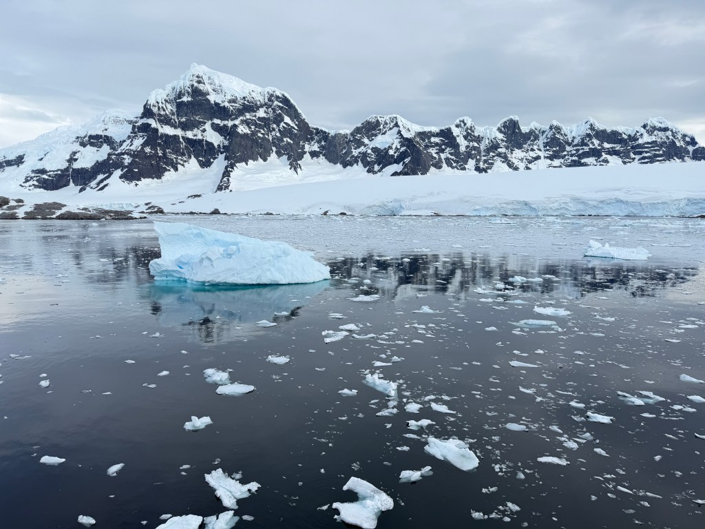
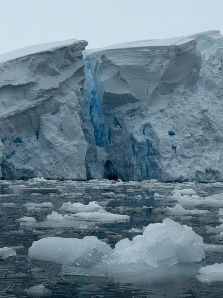
Glacial Melt
December 13, 2025
The sun is blinding, reflecting off the mountains and glaciers that surround us and the icebergs and growlers scattered across the surface of Paradise Bay.
We are sitting on our balcony, enjoying another balmy 45 degree day and thinking how lucky we have been with the weather thus far. Good thing too, as I took a long, hot shower this morning while Erich photographed from the balcony. I reveled in the warm water, taking my time, and emerged to find that I had locked him out on the balcony!
Between the small bergs, whales spout and arc lazily, the sun spangling their patent leather bodies. I’ve stopped trying to capture all of this, as there is no doing so…
Yesterday was the first morning of true Antarctic weather, with overcast and strong winds. We wore every layer of clothing as we toured the glaciers by zodiac, and returned to warm lemon ginger tea.
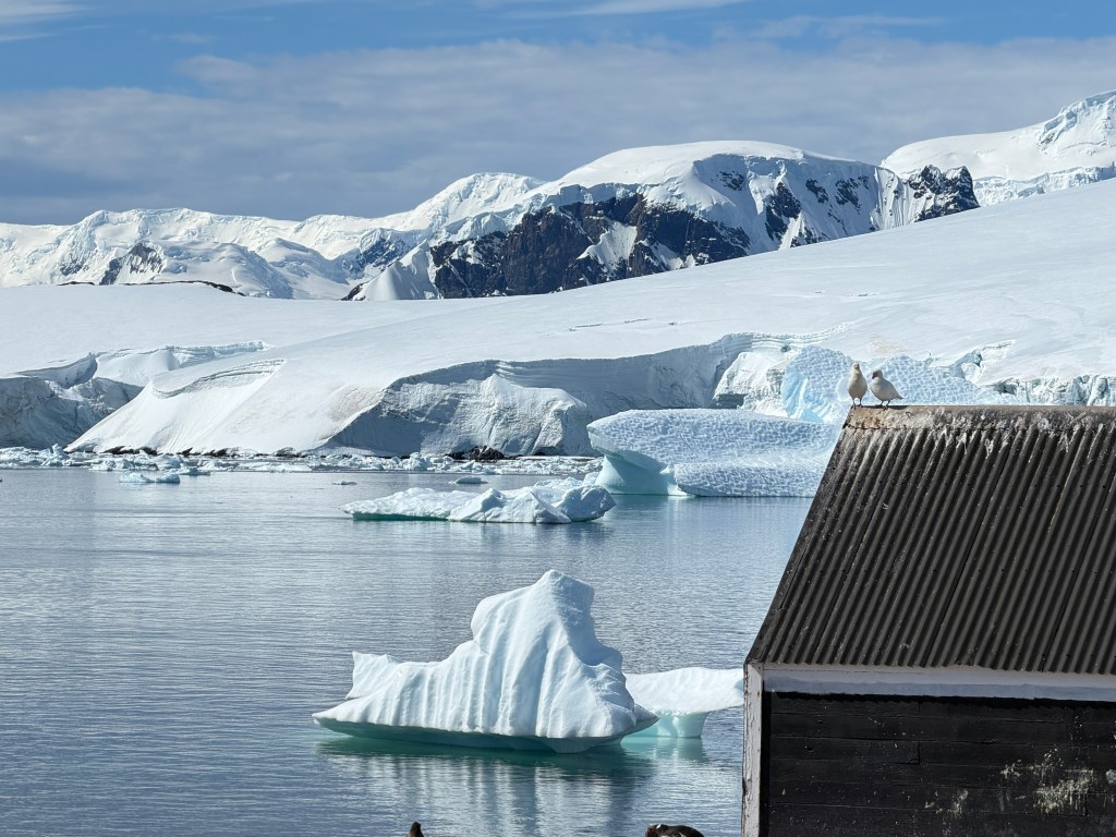
The sun broke through in the afternoon as we disembarked to visit Port Lockroy, a British military and scientific outpost of the 1940-60s and now preserved as a museum and dedicated to penguin research and preservation.
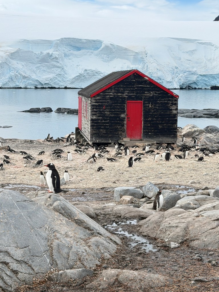
I think the penguin preservation is going well, as we walked to the museum past nesting gentoo penguins maybe a foot off the path. We saw the full life cycle-from conception to egg to the first chick of the season-which was heartening given the literature preserved in the old residence.
We wandered the cozy rooms, imaging life here in the days of only radio communication and the incredible isolation those here must have felt.
This is also the site of the southern-most post office in the world, and for a rather large fee you can get a post card stamped and mailed.

Back aboard, we cruised past more jagged mountain ranges and icebergs during dinner-every direction one looks is a new and incredible view and I must admit they are all starting to melt together.
During dinner, an announcement was made that orca had been sighted and we all made a quick exodus to the foredeck. Backlit by the evening sun, a pod of several large orca criss-crossed our bow, seemingly as eager to check us out as we were to see them. Though we’re lucky to see orca where we live, these seemed somehow larger and more menacing, their dorsal fins slicing the cold waters like sharpened knives.
I’m guessing the penguins felt the same, as they were clustered high on the icebergs out of reach of the sleek predators below.
And so ends another day in Antarctica, a place white, pristine and magnificent such that every view is magical, every encounter an epiphany. All blends together in a white turquoise-laced nugget, a jewel.
White Daze
December 12, 2025
Our ship glides through the channels and fjords off the Antarctic Peninsula, accompanied by leaping penguins and the occasional whale. Each vista is new, beautiful and different, and our minds are blown considering this is but a fraction of the Antarctic. The vastness of this wilderness is almost too much to grasp.
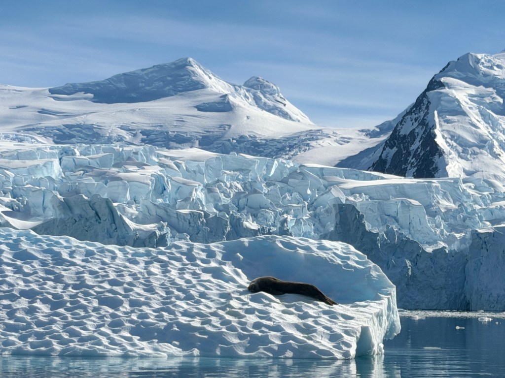
Our luck with the weather is holding, and we had sun for a second day. Our first outing, a zodiac ride around Chiriguano Bay, brought us up close and personal with a Weddell seal, the southern-most living seal in the world. Unlike the other seals here, it does not migrate during the long polar winters, but lives it’s entire life here. No wonder it was trying to get as much sun as it could today.
Our zodiac bumps through fields of small “bergy bits” of ice at what to us is frightening speed. They scrape along the sides of the pontoons with a growl, and we reach out to touch bergs of glistening turquoise.

Other bergs have been worn by the wind into spectacular sculptures, and our minds assign their shapes to things we know-a serpent over here, a rabbit over there…
Back aboard, Dianne and I go for a walk on the circular track on the upper deck, surrounded by snow and ice, but warmed by the sun on this balmy 45 degree day.
The afternoon brings a landing at Cuverville Island, a spectacular rocky outcropping on which gentoo penguins next.
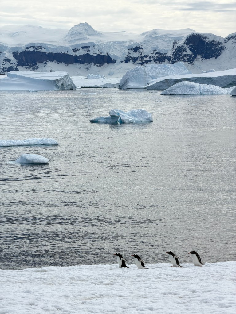
Navigating through the icebergs, we are welcomed once again by jumping penguins and the unforgettable smell of the rookeries.
I don’t think I can ever tire of watching these fascinating birds. So ungainly on land and so lithe in the water. We watched them waddle along the shoreline, slip and fall on their bellies, right themselves with some effort, and continue on.

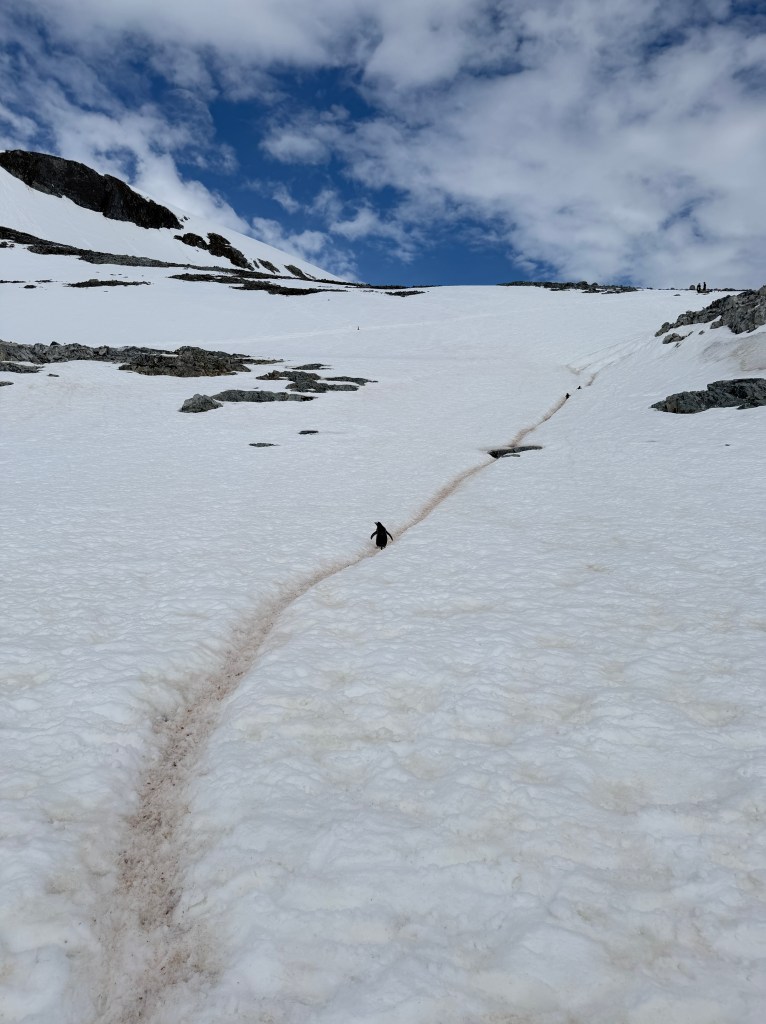
Thin lines traced in the hillsides form “penguin highways,” presumably making the awkward business of walking on legs a few inches long a little easier.
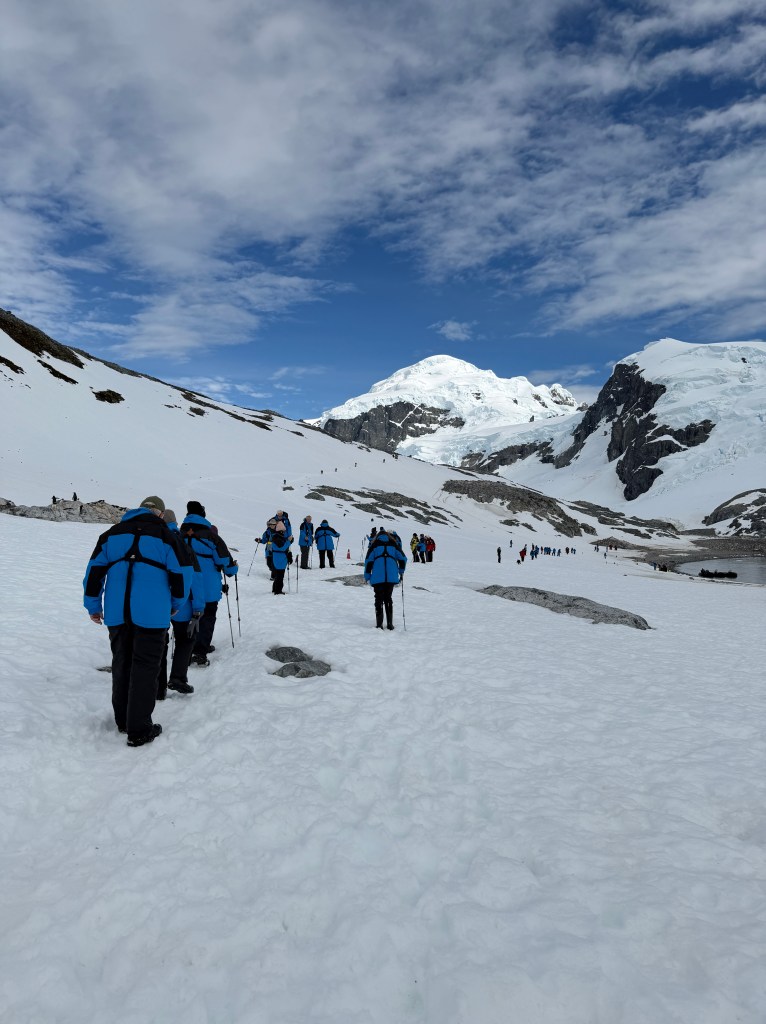
We ourselves look much like the penguins in our thick parkas, boots and life jackets, holding our arms out for balance as we navigate the hillsides.
Back aboard, it was time for the storied “polar plunge.” Similar to the fire and ice rituals of the Nordic countries, travelers to the Antarctic are encouraged to jump into the frigid 32 degree water as a right of passage. Not wanting to miss out on any aspect of this trip, I signed up. I don’t recall much about my jump other than the shocking cold-nothing I’m going to repeat, but glad I did it once.

After another amazing dinner, we were told to head up to the bow for our entrance into the scenic Neumayer Channel. Often choked with ice, we were very lucky to be able to experience this route.
As we got closer, the bay looked like a blind cul-de-sac surrounded by jagged mountains and pretty darned choked with ice to my eyes!
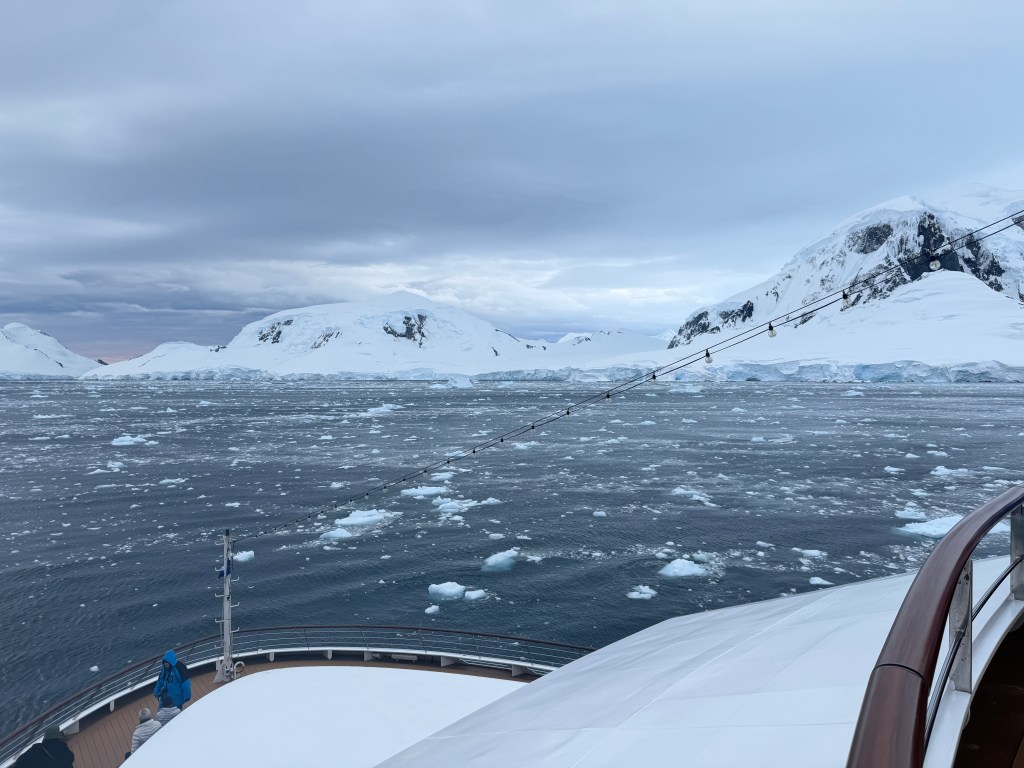
The ship, with it’s electric motor, silently skimmed the surface, pushing the ice aside. Suddenly a loud crack and roll of thunder to our left broke the quiet, and the hillside exploded in a shower of snow. An avalanche!
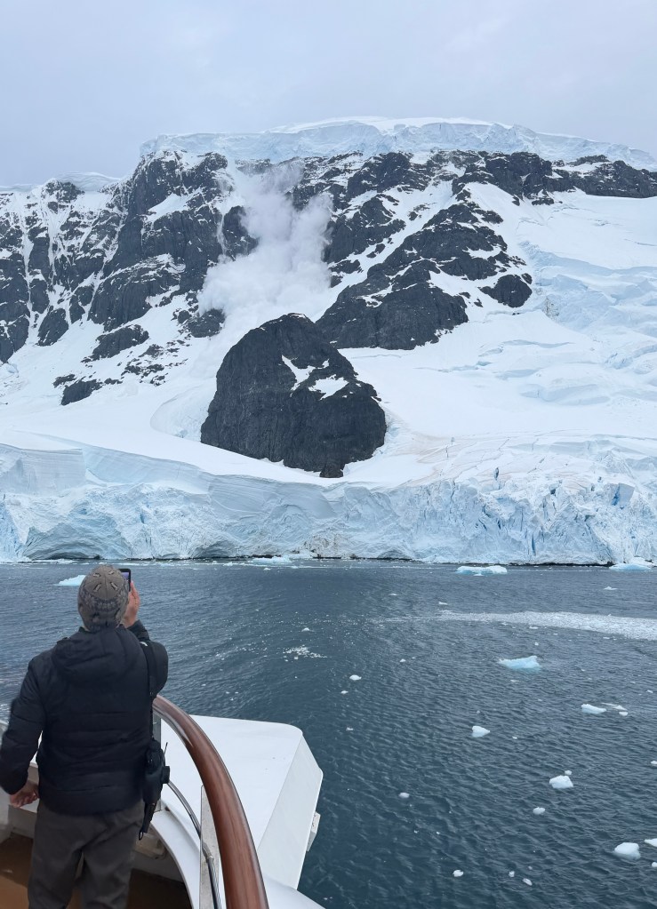
We stood on the deck for as long as we could stand the bitter cold, then retreated to our cozy cabin. Closing our eyes, we saw only white.
Another World
December 11, 2025
Our ship turns slowly in the 4 am sunlight, revealing new vistas of mountains and icebergs with each degree. The bay is peppered with the vapor of whale’s breath as they feed all around us, and shiny black and white penguins explode like confetti across the scene. I struggle for words.
After our official greeting yesterday, the weather held into the evening and our ship’s captain decided to take us on a tour of Deception Island and Whaler’s Village.
During the heyday of whaling, this area served as the best protected anchorage in Antartica. Ships would stop here to supply and offload their blubber into the vast storage tanks that now sit rusting ashore.

The island itself is the top of a volcanic caldera à la Santorini, and the land is covered with a coating of dark grey ash striped with snow.
The entrance to the bay is marked by a series of dramatic cliffs and sea stacks nicknamed “Neptune’s Bellows,” presumable for the froth and moan that’s kicked up as nature winds rush through them.
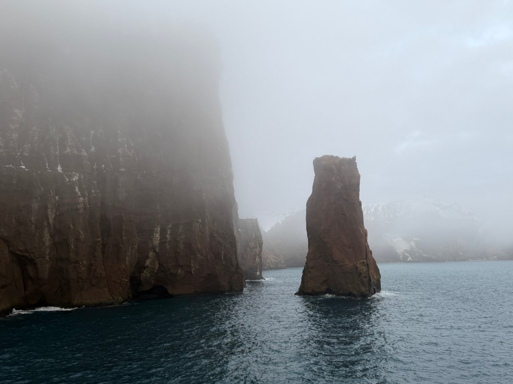
I can imagine that these formations were a very welcome sight for ship’s crews in the past after long months at sea. Today the area feels ghostly, littered with whale bones and buildings returning to nature, and it struck me hard how far removed from the world we were.
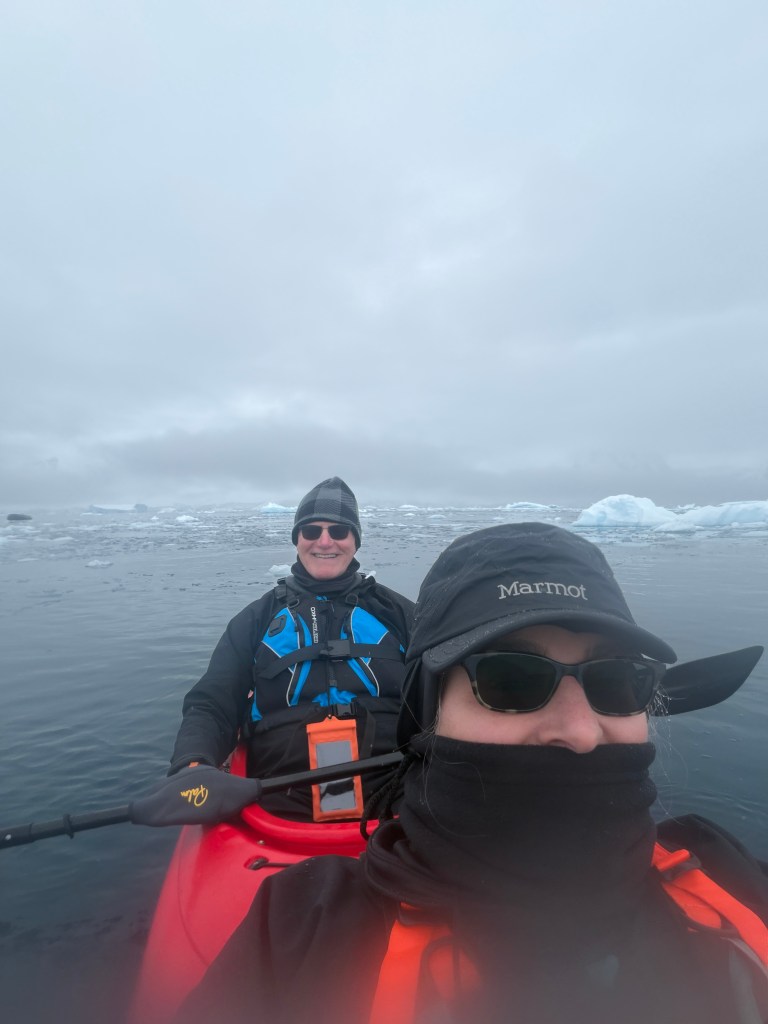
The next morning was overcast and foggy. We were at Charlotte Bay, a beautiful spot littered with icebergs and sea ice, and scheduled to climb into kayaks at 8:30 am, outside temperature 30 degrees.
As we rode our Zodiac, towing four 2-person kayaks, to an isolated spot in the Bay, snow began to fall gently.

We managed to clamber from the zodiac into the sea kayaks, and set off through fields of ice and icebergs, some dotted with crab eater seals. Schools (or are they flocks?) of gentoo penguins popped from the water around us, and whales blew columns of mist in the distance.
Paddling to a spot of open water, we sat bobbing to take in the scene. Suddenly a huge, resonant exhalation enveloped us, and a humpback whale surfaced feet from us, then dove underneath our kayaks in plain view, and resurfaced closely off our port side, it’s huge body rolling from blowhole to fluke from like a creature from Jurassic Park. I wasn’t ready with the camera, but just as well. This was a moment for memory only, and I wouldn’t have wanted to be removed in any way from it.
Back aboard, the ship was abuzz with whale sightings and encounters, though none quite so close as our own. Our kayak guide, who is returning for good to his native Norway after the season, said he had not seen anything like it in his 10 years, and perhaps the whales were saying goodbye…
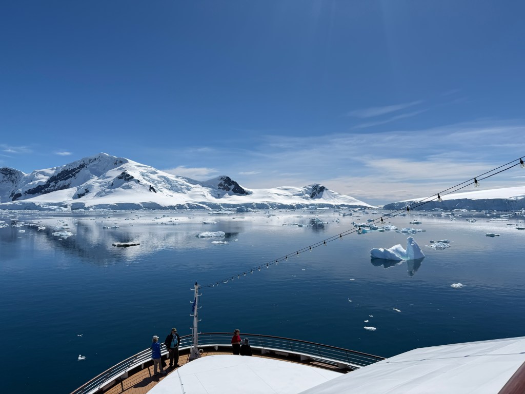
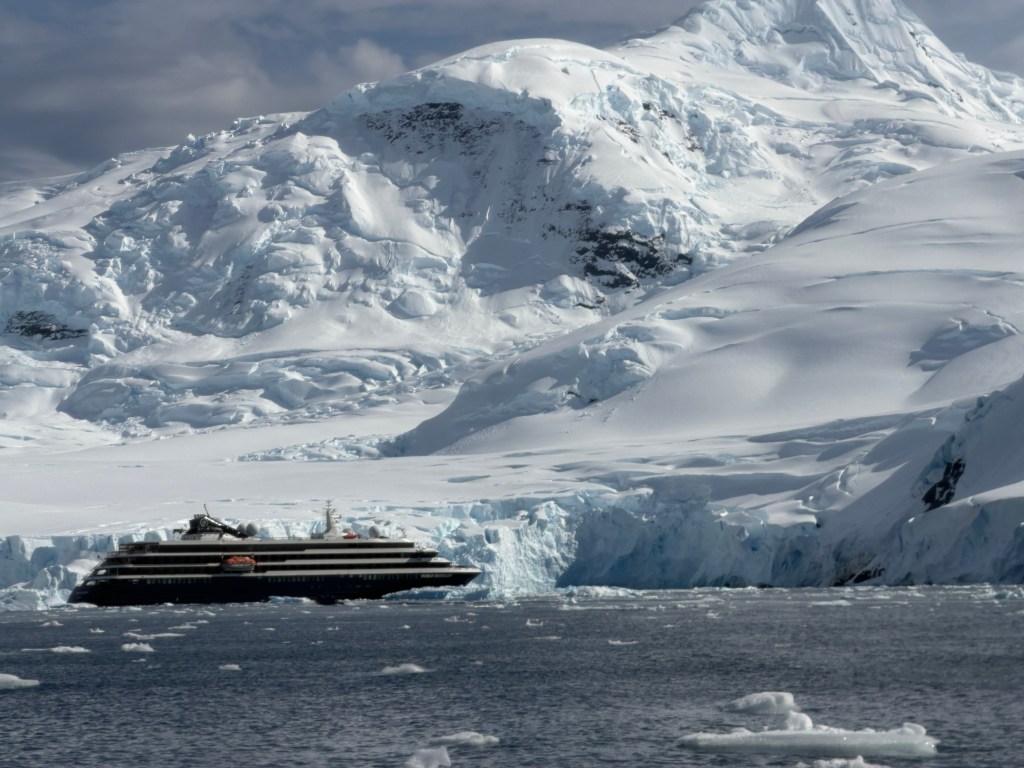
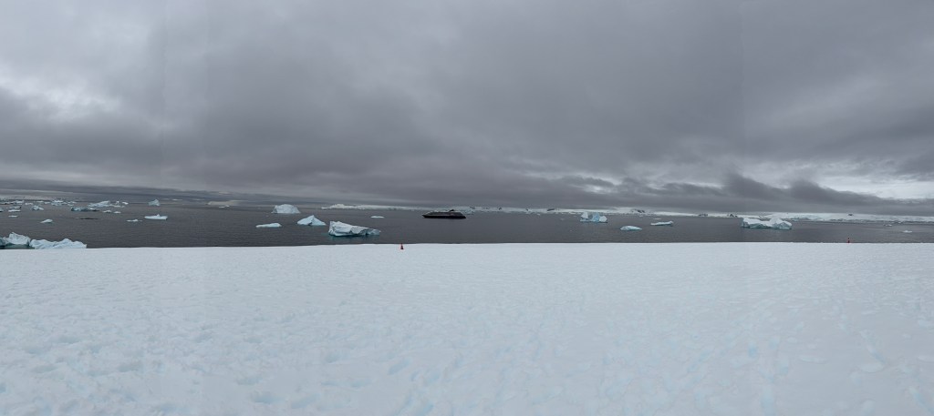
In the afternoon, we made our first continental landing at Portal Point. Navigating between icebergs glowing unearthly shades of blue, we entered a rocky bay, clambered ashore, and post-holed through the snow to an overlook. Whale plumes blew between icebergs in the distance, and our beautiful ship, the M/V World Traveller, sat majestically, awaiting our return.
One would have thought that was enough for one day, but wait, there’s more! As we ate dinner, pampered with delicious food, the sun came out. Our captain said such weather was quite unusual and decided to take a cruise into Wilhemina Bay for the midnight “sunset.”

Already tired from a full day, we sat on the heated benches of the observation deck ooh-ing and aah-ing at the scene of endless snowy mountains cloaked in glaciers; icebergs dotted with penguins; berg-lets strewn across the water like stars in the firmament; and the water itself, alive with the pop of penguins and puff of whales.

The light shifted from white to pink to violet and finally to a blue laced with yellow, and we reluctantly went to bed, reflecting on the gift of this beautiful day as we slipped into Antarctic dreams.

The Welcome Wagon
December 10, 2025
I sit sipping Nespresso as we trace the snowy shores of the Antarctic continent. Today will be our first continental landing.
Yesterday we officially arrived in Antarctic via the South Shetland Islands, a scattering of lichen and guano-covered volcanic isles that sit northwest of the Antarctic peninsula.

As we slowed to a stop, dozens of creatures began leaping out of the waters around our ship. Our first penguins! Everyone crowded the observation decks to catch glimpses of the speedy little torpedos as they broke the surface in quick, sinuous jumps then disappeared back under the clear waters in streaks of black and white.
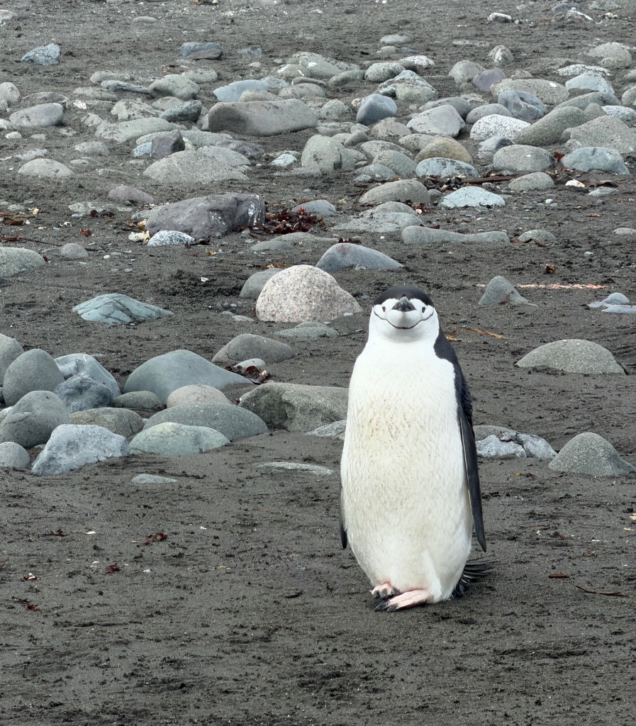
Our first landing was to be here, at Barrientos Island, known for it’s large colonies of chinstrap and gentoo penguins.
The air was abuzz with anticipation but we each had to wait our turn, as there are strict limitations of how many tourists are allowed ashore at one time. Those of us in the later groups watched from the deck as the zodiacs ferried our fellow tourists, their parkas the only spots of color on a black and white stage.

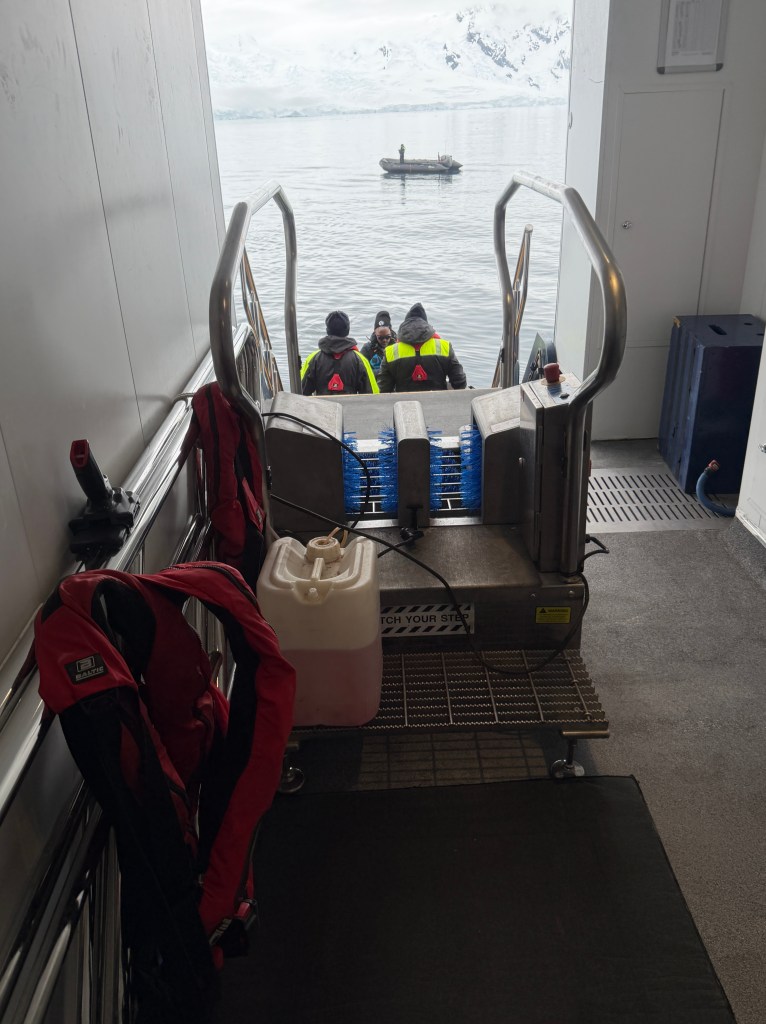
Once our turn arrived, we donned our muck boots and parkas and made our way to the zodiacs, passing through the menacing-looking disinfectant machine before boarding.
The penguins played around us as we covered the half mile to shore, as though showing us the way.
It’s the summer breeding season and most of the penguins have paired up and are building nests and incubating eggs. Our landing was in the midst of this penguin chaos, and we watched, delighted, as they waddled back and forth to the shore, gathering stones for their nests.

They seemed completely at ease with our presence, crossing only feet from us and at times waiting patiently for us to walk on before they resumed their trek uphill. But they were definitely penguins with a purpose.

Meanwhile, dozens uphill were squawking, showing off their baseball-sized eggs and stealing pebbles from one another’s nests.
As we walked along the beach, penguins would explode suddenly from the water, their lithe and graceful horizontal aquatic forms changing to ungainly waddling vertical ones in the blink of an eye. Some hung about the shore, looking at our ship as if trying to make out who’s come for tea.

Amidst the hundreds of penguins, a trio of too-cool-for-school blue-eyed cormorants waded ashore, looking at one another like they couldn’t believe the chaos, until a skua (the bad actors of Antartica) arrived to chase them away.

After an hour, we reluctantly returned to our zodiac for the journey back home, once again guided by and delighted by our welcome wagon.
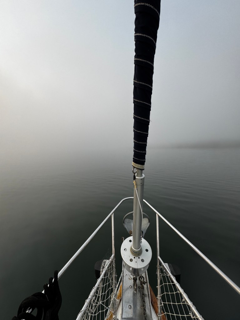
The Drake Lake
December 9, 2025
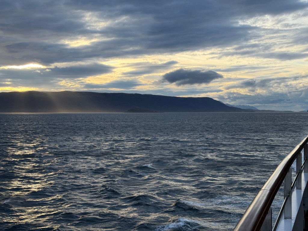
We surf rollers in the Drake Passage, and their collision with our hull is like the sea sighing in rhythm. I watch as the waters slip by, first a deep oceanic royal blue and now a light grey vanishing quickly into the fog that has moved in as we approach land.

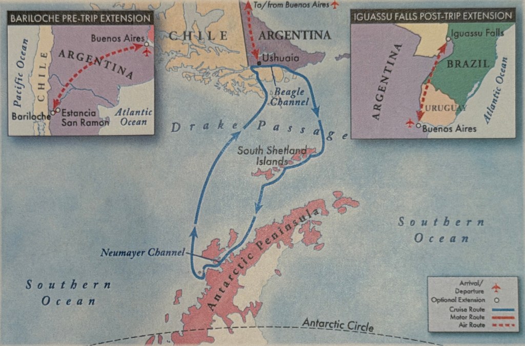
Our departure eastward to the Atlantic via the Beagle channel was sublime. Clouds filtered the sunlight into shafts of golden luminescence, and the seas were calm as we made our way towards the dreaded Drake Passage.
The “Drake,” as it is fondly called, is a notorious body of water with which every Antartica explorer has had to contend. Lying between the Cape of South America and the Antarctic continent, it’s a collision of the Atlantic, Pacific and Circumpolar currents, and can produce some of the highest waves on earth. We were told this crossing could go one of two ways-The Drake Lake, or the Drake Shake, and when we returned to our cabin after dinner to find our deck chairs lashed to our balcony rail and factored in my “luck” this trip, we expected the latter.
One could definitely feel the gentle rocking of the boat overnight, but nothing we haven’t felt a million times before on Fantasy, and awoke to smooth seas which the captain told us would shear a half day from our crossing and allow us several additional landings. Dare I say things are looking up?
The day passed quickly touring the bridge, getting mandatory safety briefings and learning the dos and don’ts of going ashore. Turns out these are mostly don’t-don’t sit, crouch or have anything other than your feet touch the earth. If you need to sit down, you must return to the zodiac and sit on it’s inflatable pontoons. All gear and clothing going ashore had to undergo a Biohazard inspection, and we would be disinfected before leaving the ship and upon our return so we did not damage the fragile, pristine ecosystem.
We were fitted for muck boots and self-inflating life vests and assigned a locker in the mud room, where we would be stashing all our heavy weather gear. Though I did get a new-to-me expedition parka (It belonged to a passenger on another voyage who hopefully planned to leave it behind and didn’t have anything untoward happen) I am not one of the cool kids. Our group expedition parkas are all blue, and mine is bright red. I will stick out like the nether regions of a baboon.
After our outfitting, we listened to fantastic lectures on seabirds and photography, between which we ate incredible meals.
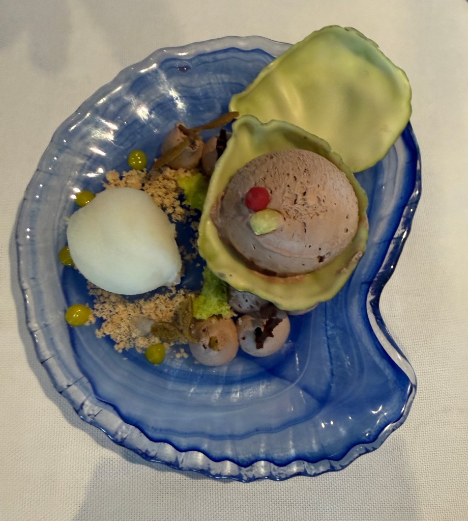
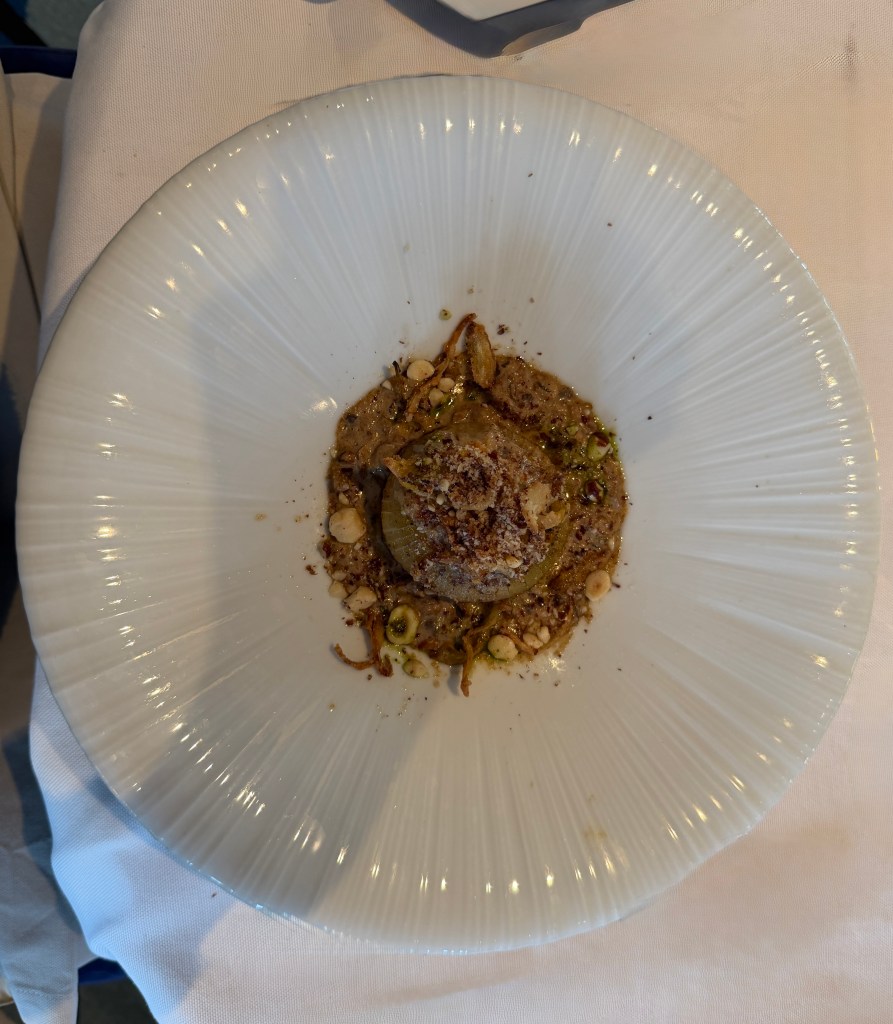
I’m not a foodie, and I did not choose to make an Antarctic trip for the cuisine, but I don’t think I’ve ever eaten better and more artistically-prepared food in my life. I took my first food photos of the scrumptious roasted onion with hazelnut entree and the golden oyster dessert (white chocolate shell, chocolate mousse and lemon sorbet.) Both tasted as good as they look!
And now I wait, listening to the seas brush the hull as they unspool crushed grey velvet towards the South Shetland Islands and our first landings. I’ll commit-things are definitely looking up!
Fit of Pique
December 7-8, 2025
I’m hiding away in our lovely stateroom, embarrassed of my temper tantrum.
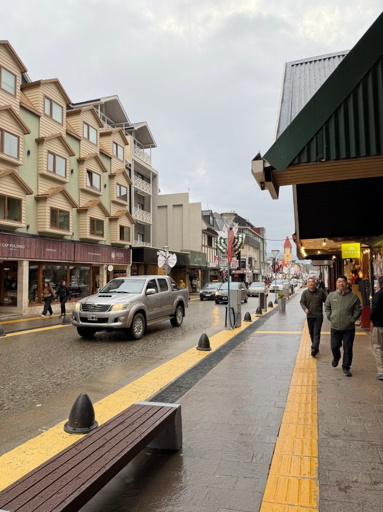
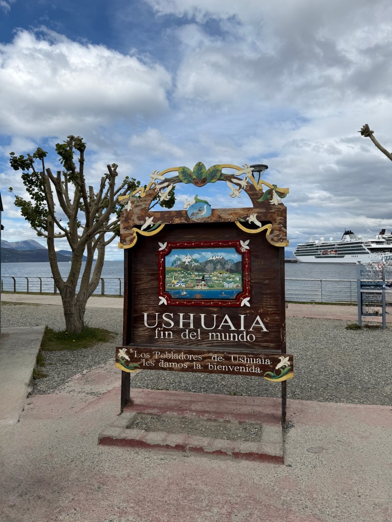
We arrived in gorgeous Ushuaia yesterday, and the predicted rain did not materialize until after we had taken a tour of the city, which sits on the north shore of the Beagle Channel and is surrounded by snow-capped mountains. A former penal colony turned gateway to Antartica and Patagonia, it’s a small town with an alpine feel.

After eating a fabulous meal of seafood paella, we were transferred to our hotel with a spectacular view of the bay, then after check-in we returned to Ushuaia to wander the shops and eat iffy empanadas in a Seattle-like drizzle. The streets were still lively despite most things being closed for Sunday and the following Monday, a holiday celebrating Mary’s conception in this predominantly Catholic country.
I awoke the next morning at 4 am, and decided I’d peek out between the dark curtains as the sun rises early in these parts. I was greeted with one of the most spectacular sunrises I had ever seen, and woke Erich so he could get better photos.
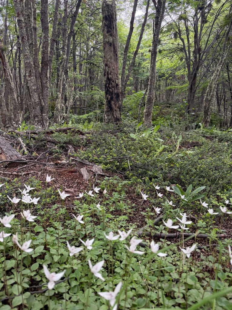
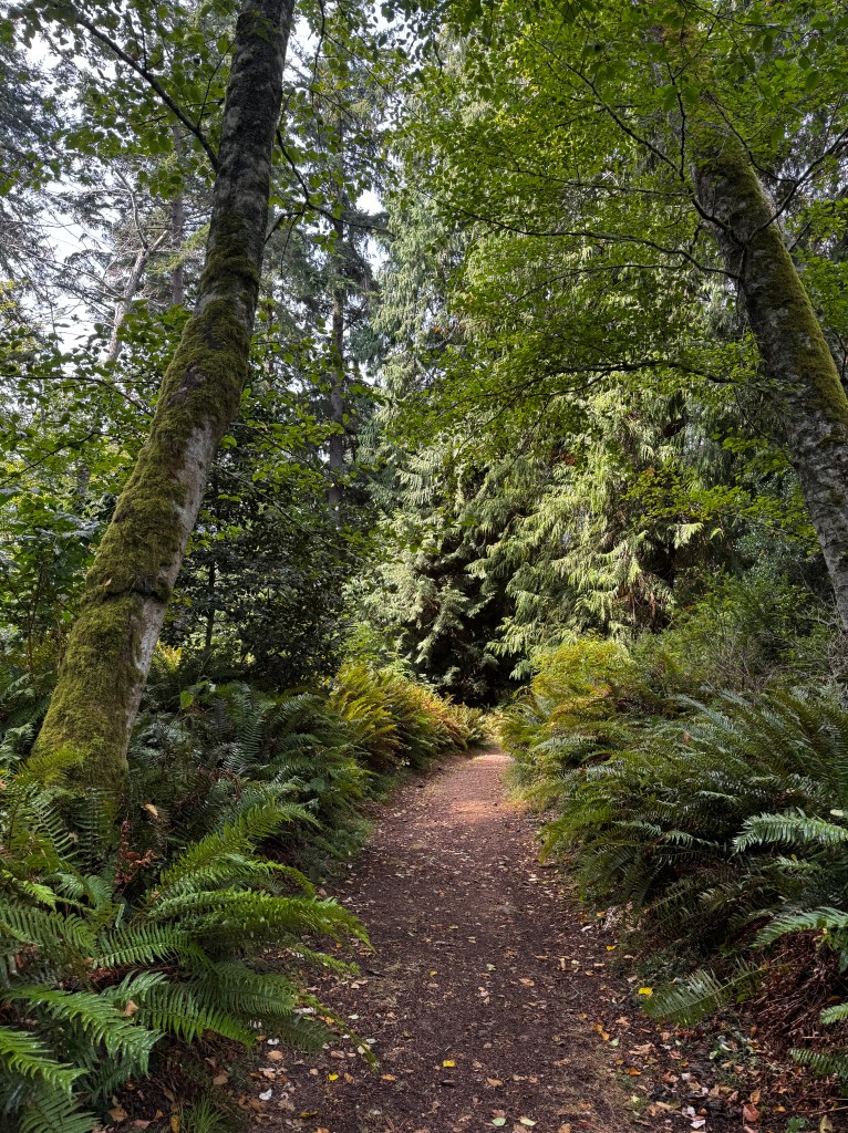
After breakfast, we headed out to tour Tierra del Fuego National Park, where we strolled beside a gorgeous freshwater lake that connects to the Beagle Channel, and leaned about the local flora.

There are surprisingly few mammals in the park, and only 30 km of trails. The roads are dirt and the end of the dirt road coincides with the southern end of the Pan-American Highway. As we arrived, a group of motorcyclists was completing the journey and posing in celebration.

We wandered through the beautiful forest, carpeted with orchids and populated with deciduous and evergreen beech trees draped with wisps of light green lichen.
Back at the bus, we stopped for our lunch of roast lamb, a local delicacy. My appetite was somewhat affected by the flayed lambs stretched over a fire at the entrance, and further diminished by our guide telling me that, despite my bag’s arrival in Buenos Aires the day before, somehow it did not make it on a flight to Ushuaia. If I wanted anything more to use during the cruise, I had about an hour to pick it up before boarding.
Writhing in my uncomfortable new ropa interior, and thinking that my selection of a few things would not be enough to get me through nine days, I jumped up from the table without finishing lunch to scour the mostly-closed town for supplies.
I had also checked out the ship’s floorpan earlier, and seen through my jaded lens, I concluded we had the worst room on the boat. So I stalked off into Ushuaia, chewing my cud about all the misfortune that’s befallen me on this, what I had hoped would be the trip of my lifetime, leaving my perplexed traveling companions agape.
In under an hour in a mostly closed and very small town, I managed to get several pair of ropa interior, some polar socks, several pair of pants and long underwear, a new swimsuit for my (hopeful) polar plunge, several shirts, and a duffle bag to contain it all. I returned to the bus with 15 minutes to spare.
As we were transported to the ship, since I could no longer gripe about lack of clothing, I continued ruminating about the crappy room we were assigned-forward and high up, so most prone to discomfort from the ship’s rocking.
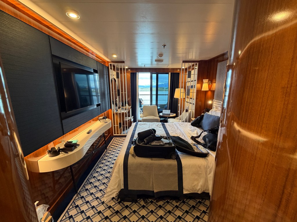
We were greeted with smiling staff, mimosas and aperitifs, and led to our beautiful and well-appointed room.
Now, with a new wardrobe, sitting on a balcony overlooking the stunning Beagle Channel, my ill temper passed like a squall, leaving a spoiled and embarrassed traveler revealed in unforgiving sunlight. How lucky I am to be among the few people to have seen this spectacular area, and how silly to waste any time in a fit of pique instead of enjoying this amazing spot at world’s end.
Ropa Interior
December 7, 2025
I’m squeezed into a window seat on our flight to Ushuaia, the southern-most city in the world. It’s from here that we embark our ship to Antarctica, and we will be spending a day here visiting Tierra del Fuego National Park.
The cowl I was knitting for a project to occupy myself aboard has become more of a critical necessity, as my luggage has not yet found me and hope seems to be fading that it will.
In the meantime, I’m refusing to let that ruin my trip.
Our first night in Buenos Aires was spectacular-a welcome dinner at an Argentine steak house with red wine, empanadas, rare steak (apparently no matter how you order it, this is how it comes) and dulce de leche.
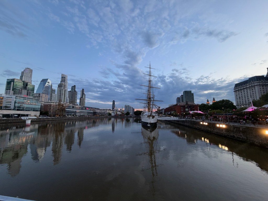
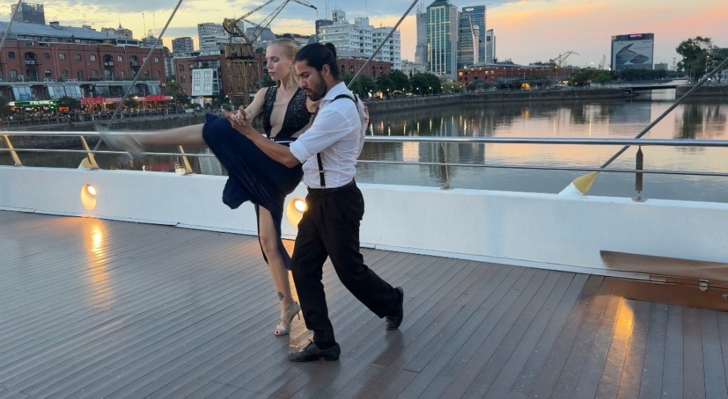
Dinner was followed by a stroll along the banks of Porto Madero, the old port now converted to glitzy restaurants and bars, with bridges connecting it to a wealthy neighborhood of high rise apartments.
Walking across one of the bridges, we were treated to an Argentine Tango, and I’ll never forget watching that performance in the beautiful, lingering late summer light.
At the outset of our Buenos Aires city tour the next morning, our trip leader ordered me a new parka and suggested I might want to pick up a few items-not a good sign for my missing luggage as he’s been guiding for 30 years.
Determined to see Buenos Aires before shopping, I pushed my plight to the back of my mind. We would have free time later.
Buenos Aires architecture has blown me away. In the early 20th century it was one of the wealthiest countries on earth, and populated primarily by European immigrants who brought their tastes with them. It’s not an exaggeration to call it “the Paris of South America,” as with its wide boulevards and Belle Epoch and Neoclassical architecture, it reminds one very much of that gorgeous city.

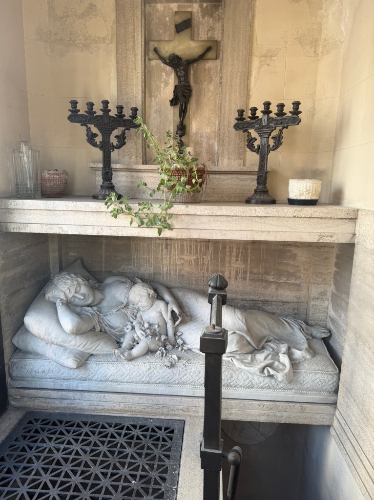
We started our tour at Recoleta Cemetery, opened in the 1820s when the size of your mausoleum was a status symbol. The neighborhood surrounding the cemetery is still one of the wealthiest in town, and the 5 acre cemetery is surrounded by a brick wall and lined with a labyrinth of paths bordered by shoulder to shoulder mausoleums sporting intricate carvings and statues.
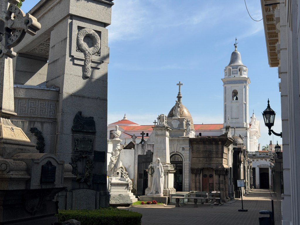
Of course the most famous is that of Evita Perón, but it’s certainly not the most ornate.

Families pay a monthly maintenance fee, and those who choose not to pay are rather evident.

New customers are still being accepted, with fees that range from $30,000 to over $1,000,000.
From here, we made our way south to La Boca neighborhood, a true contrast. Home to the least affluent members of the community in the early 1900s, they developed a style of living all their own and gave birth to the classic Argentine tango.
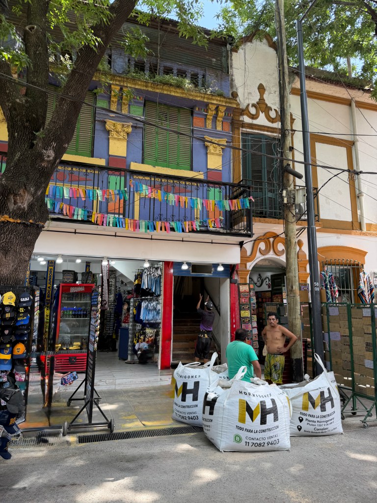
They lived tightly packed in corrugated metal structures painted in bright colors (the leftovers of paint given to them by the nearby port fishermen) which had a common central courtyard.
It’s in these courtyards that the tango was born, initially men dancing with men, and evolved to the sensual dance it is today.
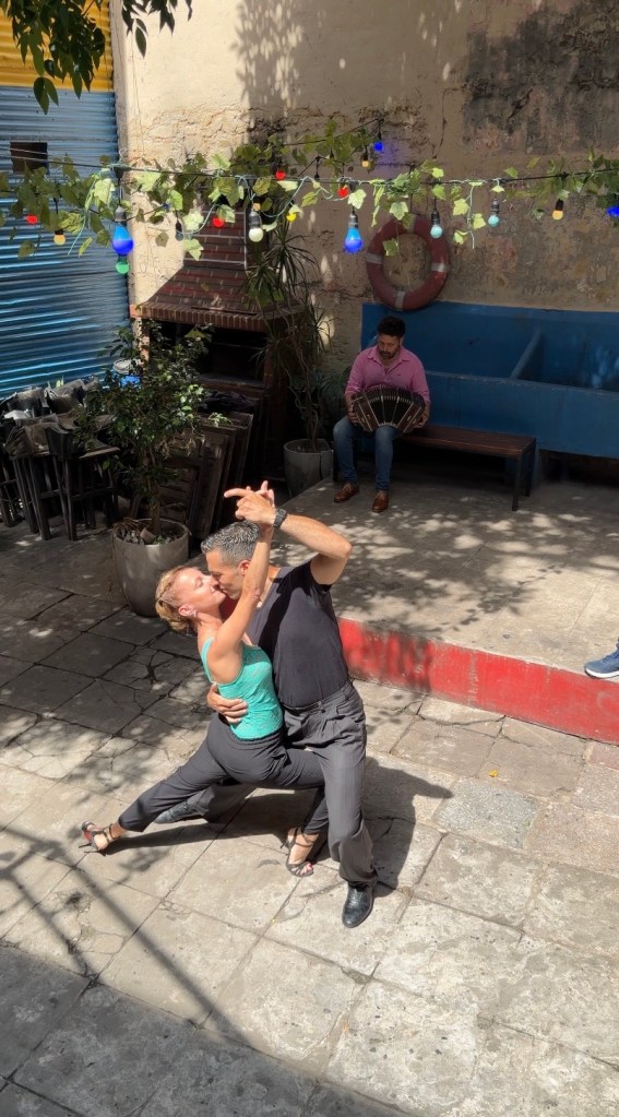
We had a tango lesson in one of the courtyards, and Erich surprised me by appearing very professional!

Post-tango we wandered the brightly painted streets, chatted up an artist and former tango dancer, who showed me news clipping of his life of travels dancing tango around the world after we purchased a small watercolor.
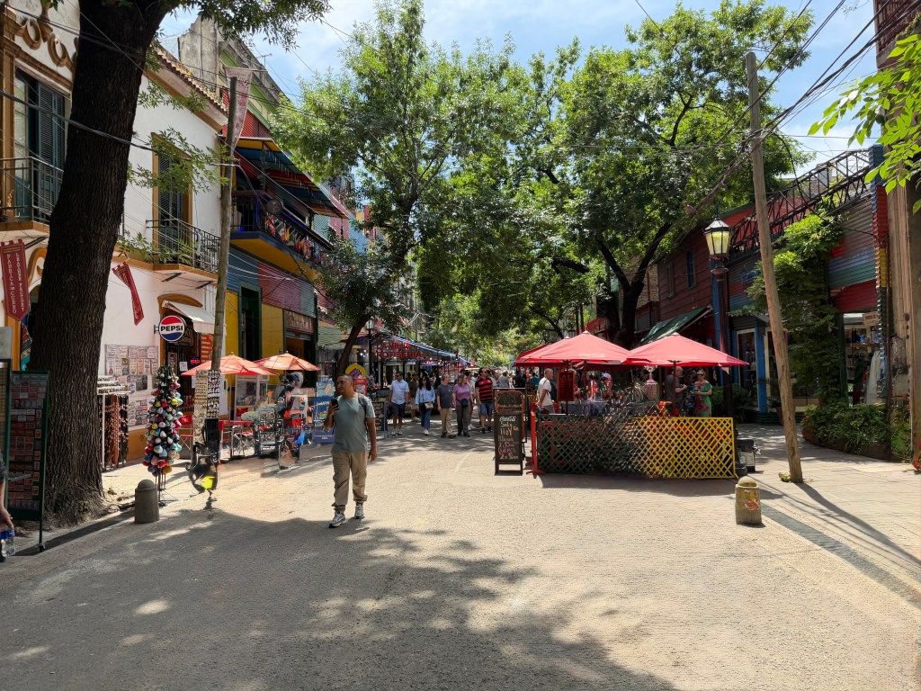
We ate choripán, a national dish of pork sausage and chimichurri (which may turn out to be a regrettable choice), and bought soccer scarves and jerseys before heading to our next stop, the stately Plaza de Mayo.
This is the area where the city was first established by the Spaniards in 1580, and named now after the month of the revolution against their rule that began over 200 years later.
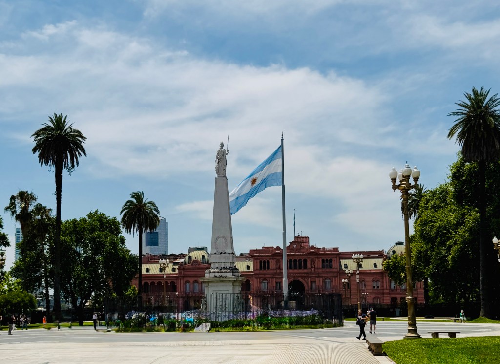
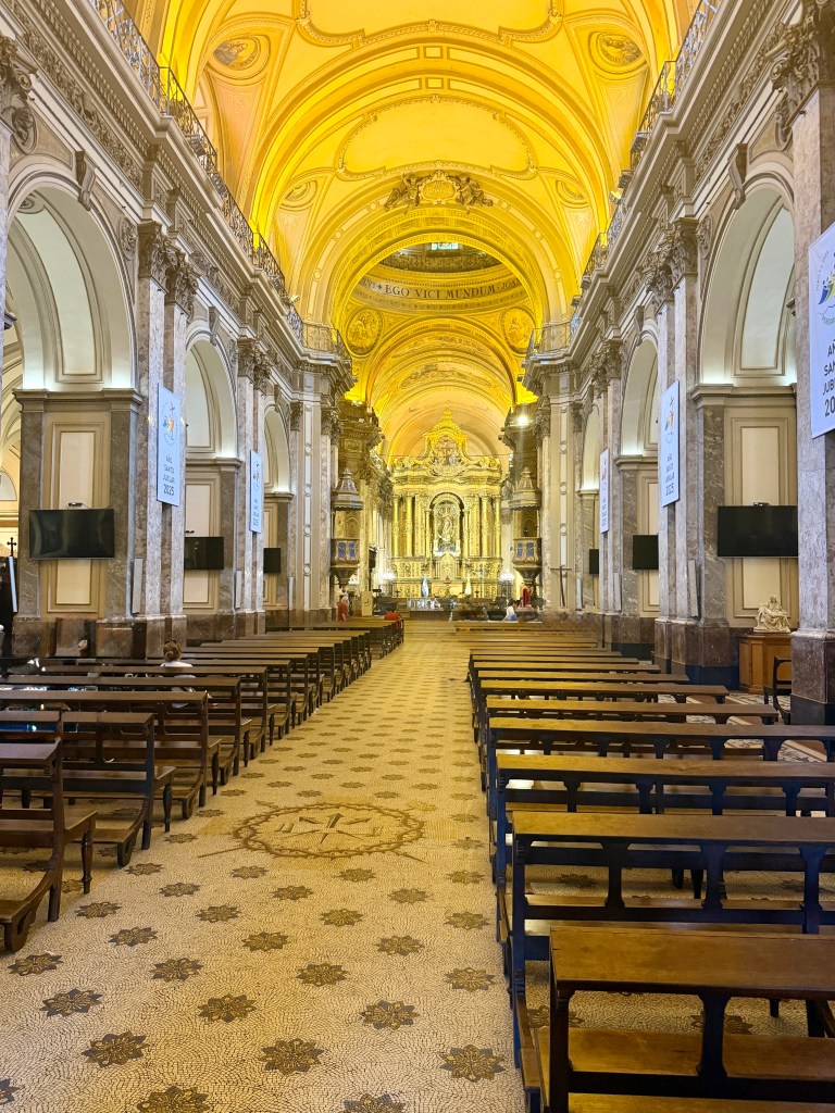
It is lined by stately buildings and anchored by the Pink House or Casa Rosada, the current governmental seat, and the Cathedral of Buenos Aires where Pope Francis once presided. It feels weighty and eternal.
That is only augmented by the memorial to the victims of the COVID pandemic (130,000 in Argentina) and the knowledge that every week the mothers and grandmothers of “Los Desaparecidos,” those who vanished during the seven year dictatorship beginning in the mid 1970s, come to walk, protest and demand justice of those who tortured and killed their children and sold the infants born in detention centers.
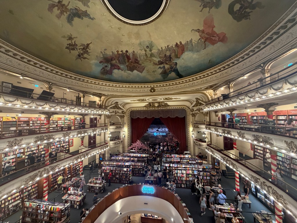
After this sobering stop, we were dropped off at El Ateno bookstore, rated as one of the most beautiful in the world. Built in 1910 as a theatre during the height of Argentina’s world presence, it was converted to a bookstore to preserve the structure when more difficult times arrived. The vista is indeed spectacular, but the selection of English offerings was disappointing and we quickly moved on.
Our next stop was El Teatro Colón, one of the most acoustically perfect venues in the world. It seats over 2,000 and has no speakers of any kind. Pavarotti used to joke that he couldn’t afford to make any mistakes performing there, as one could hear a pin drop, even in the cheap seats!

Sadly, all the tours were sold out, so that will have to wait for our next visit to Buenos Aires…
Having seen all we wanted to see, it was time to “pick up a few items” as suggested by our tour guide. Though we didn’t ask them to join us, our wonderful friends set out with us on our search for women’s underwear, for which I had never thought to learn the Spanish word. As it turns out, it’s “ropa interior,” translated as “interior clothing,” and not easily found.
We were directed to a store in the ritzy and spectacular Galerias Pacifico mall, where I could immediately tell the offerings would not mesh with my style. Asking for large, comfortable “ropa interior,” the saleswoman produced a leopard print thong while my group of personal shoppers looked on. Uh, no.
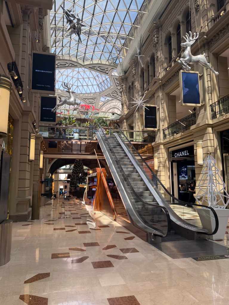
We walked by numerous sex shops, where the thought occurred to me that edible underwear might save space, and could work as a last resort, when we finally found something that worked at a store for old women.
As we dined on Argentine pizza, pasta and pistachio and dolce de leche ice cream, we reflected of the beauty of Buenos Aires, and the new bond created between friends who have scoured a foreign city together for ropa interior.
Buenos Aires on Boot
December 5, 2025
One wonders about a jinxed adventure at this point.
Our trip began on a somewhat ill-fated note when our taxi driver awoke us at midnight to confirm our luggage count prior to our 4:30 am pick up. We were out and waiting for him, having had difficulty falling back to sleep, only to watch him arrive, remove the sawhorse we have positioned at the top of the circular drive to prevent people from going down the wrong side of the drive, come face to face with a perplexed Boo, then be unable to back up because of the darkness…
After guiding him back out and down the correct path, he loaded up our luggage, shearing a wheel from my main bag, making transport of the bulky, stuffed item more challenging. Turns out, I needn’t have worried too much about that…
We met up with Todd and Dianne at the airport and boarded our flight to Dallas without incident. Things were looking up!
Unfortunately, it was only a momentary pause. My seat was located in front of a family moving their father, in the advanced stages of dementia, back to Dallas. He was panicked, yelling, and spent a good part of the flight shaking my seat trying to get out. My heart went out to them all-I certainly realize how challenging that situation is-but did nothing for my peace of mind when we landed in Dallas.
Having a three hour layover, we wandered the glitzy concourses at DFW, where the myriad perfume displays triggered a migraine that struck me just as we boarded our overnight flight to Buenos Aires. No problem, I thought, as I could close my eyes and go to sleep, which is always my treatment of choice.
But no, that was not to be. Our full-bodied and rather surly flight crew kept knocking me in the shoulder as they stalked the aisles and I developed a restless leg that wouldn’t respond to reason. My traveling companions fared little better, and we were disgorged into the bright Argentine morning a tired and bloodshot group.
Clearing customs was easy, and things began to look up again, until they didn’t.
So, I talked about the challenge of packing for ninety degree heat and polar cold in one overstuffed suitcase, now with a broken wheel? Turns out I needn’t have worried as my bag didn’t actually join me in Buenos Aires!
It was almost 100 degrees and there I sat with my carry on containing only electronics and toiletries, dressed in heavy winter clothing on a blistering summer day. I was informed no claim could be made for lost luggage for 24 hours, and they assured me that my suitcase would arrive on the next flight, which meant 24 hours in the Buenos Aires heat in only the cozy clothes on my back.
I did some quick shopping once we arrived back at the hotel, and managed to find a gauzy skirt and a short-sleeved linen top. I also found a charming shoe store where the sweet salesman informed me that the women of Buenos Aires tend to have small feet and they didn’t carry my “very large” size. Yikes!
I bought a pair of men’s sandals, thinking that was better than nothing, then rubbed several blisters on my feet on a short walk around the streets of our hotel.
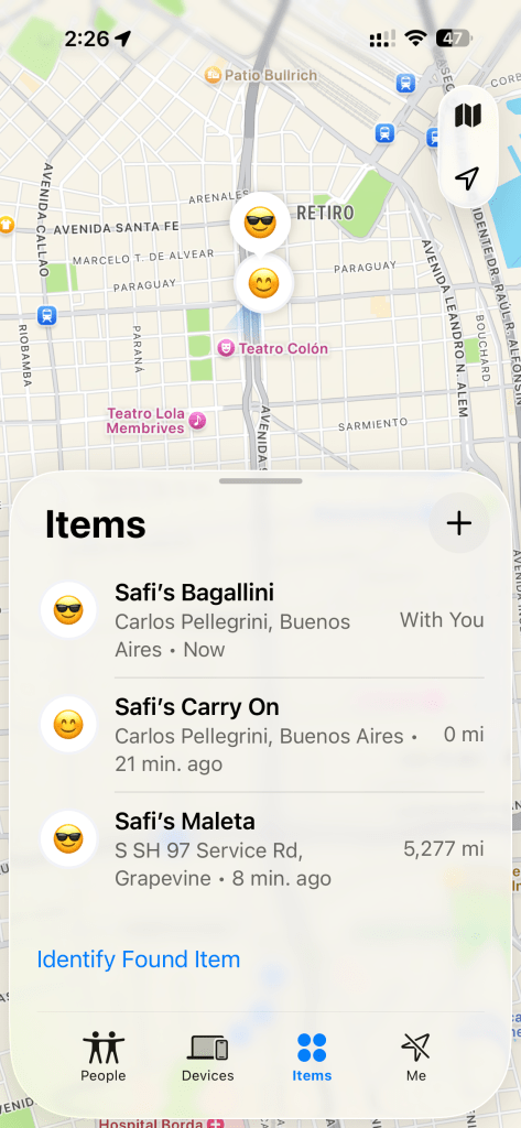
This morning finds me dressed in my gauzy shirt and skirt and sporting my Sorel boots for our city tour. It’s a look, that’s for sure! I checked in on my bag this morning via Air Tag. It’s still resting comfortable in Dallas.
Always Buy the Ticket
December 3, 2025
At the end of the Homer spit road, at the end of the Alaska Highway, sits The Salty Dawg Saloon.
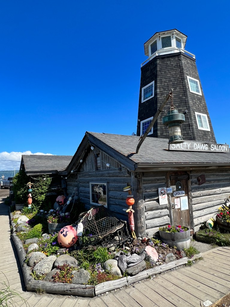
It’s in this place, midway through our last big adventure, that our next big adventure was born. After a pint or two on a warm summer day, I made my way to the restroom to find the following scrawled on the wall: “Always buy the ticket; Always take the chance; Always make the memory.”
While this was likely a plot by the local tour operators offering pricey flights to nearby Katmai National Park, the saying began to knock about in my head…
We have always wanted to travel to Antartica. Through the years, I talked to many well-traveled patients about their best journeys, and Antarctica was always at the top of their lists. But each time I looked into the trip, I was put off by the expense. As with everything, the expense has only grown, and the years have crept by with only so much time left to manage water landings, arctic hikes and polar plunges.
Memories, if we are lucky, are all we have left in the end, and time was running out on this particular one. So, thinking back to the Salty Dawg (and that flight-seeing ticket I now wish I had purchased) we bit the golden bullet and reserved an Antarctic cruise.
For months, it seemed a far-off dream-a trip in a misty white future. And now, we leave in the morning.
These last few weeks have been a flurry of packing and re-packing: heavy polar waterproof pants; multiple fleecy layers; a voluminous parka provided by the tour operator and the irony of light clothes for our few days’ stay in Buenos Aires, at the height of the southern hemispheric summer.
Erich has packed and unpacked his camera gear at least a dozen times, and regularly models each of his various camera bags asking my opinion as to versatility, ability to pass as a “personal item” and waterproofness. Thank goodness we’re leaving the house tomorrow!
I’ve been trying to get to know the wildlife by doing daily sketches of the various birds, penguins and seals we will see, as they have always run together in my mind. As I finish one, I look out and see some unnamed waterfowl in front of our house looking back at me accusingly, and realize I need to explore my own backyard more upon our return.
But for the moment, I revel in the novelty and excitement our next big journey south and the memories to come.
The Big Dark
November 12, 2025
Has it really been a month since I’ve felt inspired to write?
October is one of my favorite months in the Pacific Northwest, but November, not so much…
Our clocks slid back on November third, so sunsets are now around 4:40 pm and sunrise after 7 am. It’s referred to here as “the big dark,” and didn’t seem to bother me as much when I was working. Now that I am lucky enough to have free time, it’s dawned on me that I’m not a fan of the dark. Imagine that in a native Tucsonan!
The dark has coincided with a series of storms, which have left me watching wind-whipped waves march down Agate Pass. The clouds, leaden and heavy, push northeast, and trees dance wildly in the gloom. A pair of geese struggle westward and a rush of leaves beats the windowpane as the lights flicker. November has definitely arrived.
Phoebe is dealing with the change just fine, as it allows her to spend time on the couch uninterrupted by her owners dragging her on walks, but Phinn has succumbed to seasonal affective disorder.
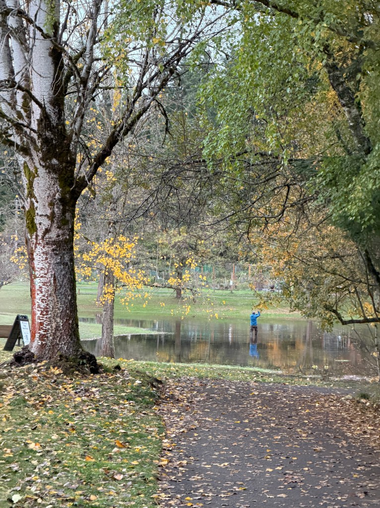
In between storms, Phinn and I drive to the park amidst the falling leaves.
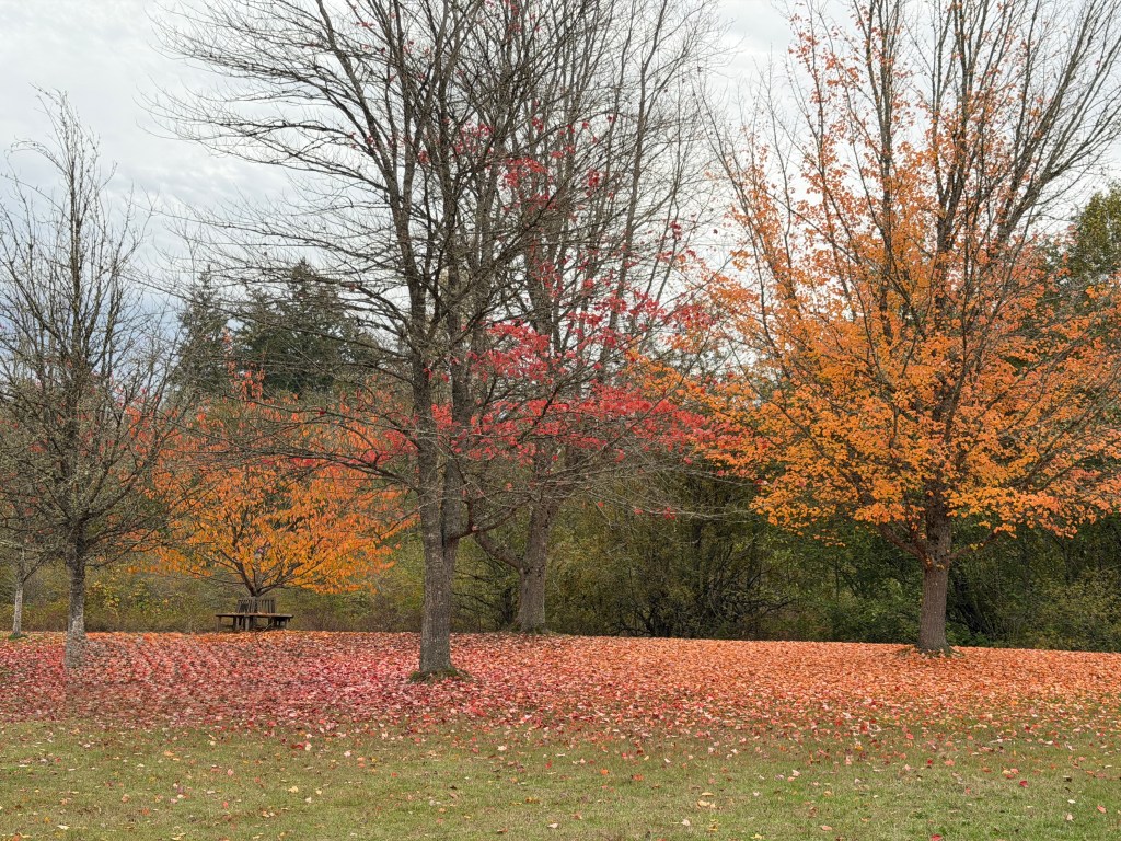
On our walks, the sun peeks out occasionally, turning the fallen leaves to shimmering gold, the ephemeral currency of fall.
The rains have formed pools in the park, where fly fisherman emerge to practice their skills. We weave under bony trees, distilled to their essence by the Pacific storms, and are happy to reach the dry refuge of the car.
I’m remembering an Icelandic proverb: “If you cry because the light has gone out of your life, your tears will prevent you from seeing the stars.” And the Northern Lights, as it turns out, which we glimpsed illuminating the clouds last night.
So, I concentrate on the positive. In this season of Thanksgiving, I am so grateful to have a lovely home, a healthy family, enough food, and a dry and cozy spot from which to watch the storms.

Seasonal Soujourn
October 13, 2025
My sea glass lanterns glow in the early morning, picking out the curves on our lovely river rock fireplace mantle. Hues of amber, perfect for this season of vanishing light.

We have delayed our departure for Arizona due to an upcoming trip abroad, and the desire not to be rushing hither and yon with dogs in tow. Though I miss my desert home, it’s been a welcome chance to enjoy the changing seasons, something rare in Tucson.
On my morning walks at Battle Point park on Bainbridge Island the leaves crack and pop like dying embers beneath my feet, and the scents of fallen apples and wood chips surf the breeze.

The sky shimmers abalone, and the contrast with the changing leaves is almost painful.
I’ve always loved the fall, not only for it’s ephemeral beauty, but for the excitement of school and the promises of new intellectual journeys. Brandon used to dread going school shopping with me as I’d succumb to raptures at the smell of new books and ooh and aah over the supplies, delighted at the thought of a bouquet of new, sharpened pencils.
In retirement, I’m trying to find new ways to learn: continuing guitar lessons; brushing up only grade-school Spanish and pursuing my pastel painting with greater effort. Following a wonderful three day “Pastel Live” conference online, I feel like a film has fallen from my eyes. Values and hues are everywhere, and what better time to appreciate it than the fall.
At Erich’s encouragement, I took a Plein Air course last week with local artist Robin Weiss. Though he works in oil, he was game to have this budding pastelist in his workshop. His kind words and thoughtful teaching style were revelatory, and I believe I have a new passion…
Phinn and I occasionally walk the beach around home, where he still remembers Elison’s molting spot of summer and creeps by slowly, with tucked tail.
Phinn broke through his fourth gentle leader of the year in late September, charging a horrified neighbor with a small poodle, so our walks together around home have become limited to times of foul weather when few venture out. We do still meet the occasional walker, but they seem non-plussed by Phinn.
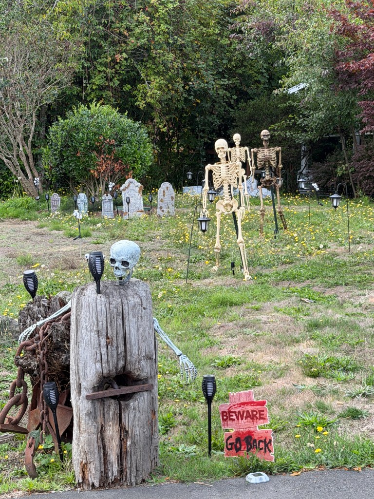
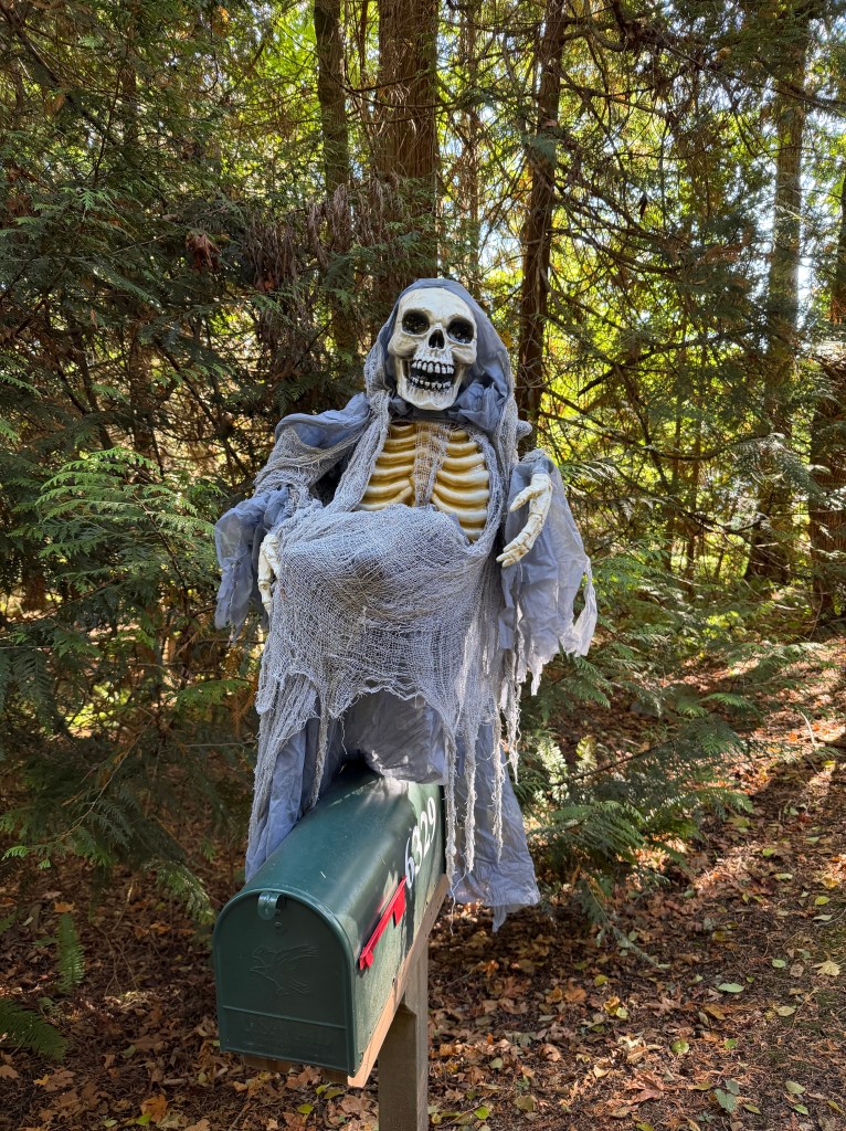
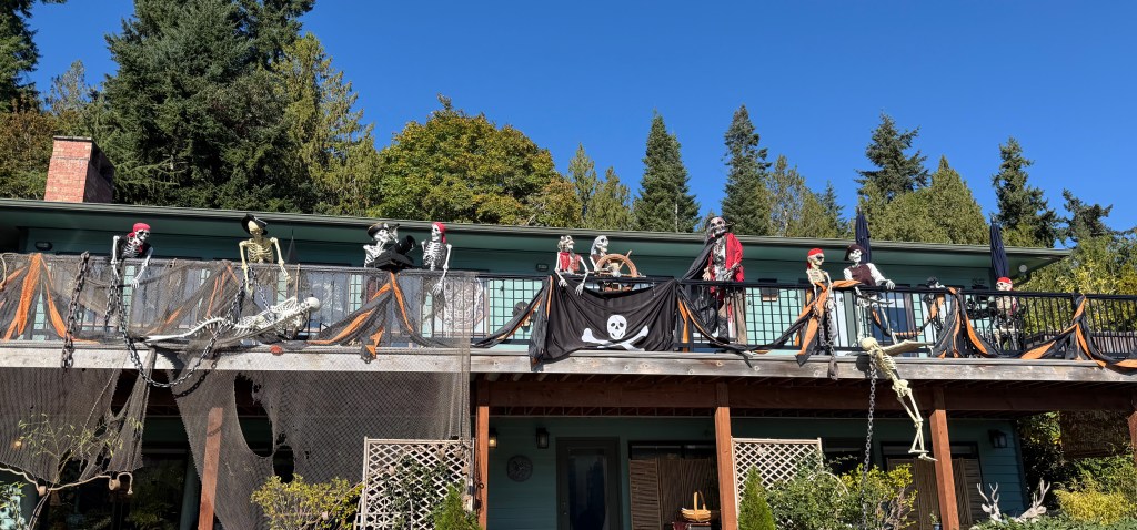
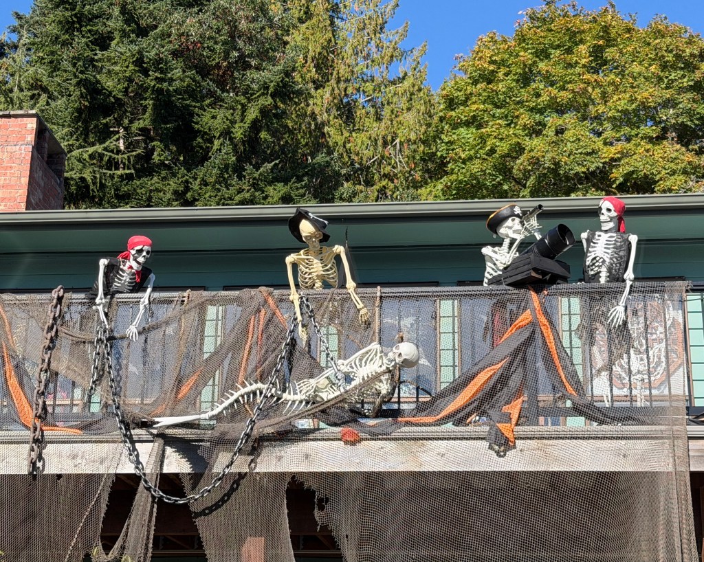
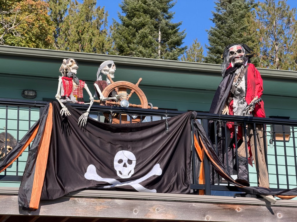
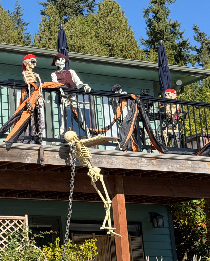
In fact, the neighborhood is alive with Halloween, and none more so than our immediate neighbors Chuck and Della, who invited us over to see their spectacular, spooky, maritime display which really requires an album of it’s own to fully appreciate.

We’ve also become enthralled by October baseball and our death-defying hometown Mariners. After a 15-inning elimination game that shriveled my adrenal glands to chalky nubbins, they have advanced to the American League Championship series. I’ve been trying to keep myself occupied during the games and have begun knitting again, creating the playoff series of beanies and cowls. Should their run continue, I’m at risk of vanishing into a tangle of artisanal yarn.
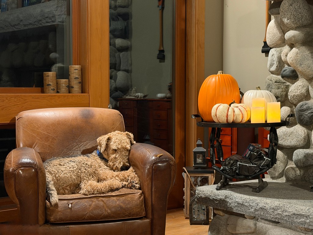
Phoebe and Phinn helped me take a break from knitting and carve a pumpkin during last night’s game, and both watched horrified as I worked, wondering why I was disemboweling the poor, harmless creature.
So the rhythm of life beats on as the light fades and our world shifts to jewel tones. Though I miss our usual fall travels, there is so much to appreciate here. Not all travel involves distancing oneself from home, so for now we’re going to enjoy fall just where we are.
Pearl
September 30, 2025
Can you imagine spending over half of your life with one person? Neither can I, but today marks our 30th wedding anniversary and officially over half of my life being married to Erich. Simply shocking.

We did an anticipatory renewal of vows last year in Hawaii, so this year we’re laying low-a nice dinner out tomorrow since Erich convinced me to take an art class today at Bloedel Reserve, a beautiful garden on Bainbridge Island near our home.

Which brings me to gratitude, an abiding theme in my life and even more so today.

I have been so very lucky to have a husband who encourages me in my (often) harebrained pursuits. He’s suffered through many phases: scuba diving; sewing; wood carving; sailing; camping; hiking; traveling; knitting; writing; painting; guitar playing; sea-glass hunting; raising airedales and restoring old trucks. Some of these hobbies have stuck, some not, but through them all he’s been there to encourage me.
When I decided late in my career to leave the security of predictable employment and open my own practice, mortgaging everything we own in the process, he didn’t question my sanity, though many did. Instead, he went on hunts with me looking for the perfect office space and helped with every facet of getting ready to open.

When I decided to retire early, we discussed potential financial instability and a change in our standard of living, he didn’t hesitate, but said “We’ll make it work. Home is where you and the pups are.”
And what a wonderful “home” the world has been for us so far!
On this, our official “pearl” anniversary, I celebrate the best decision I ever made. Happy Anniversary my dear-here’s to the next thirty years!
The Annex
September 24, 2025
I keep a receipt for $79.18 on my desk. It’s dated August 2015, and it’s there to remind me of what’s important in life.
In the last months of my mother‘s life, her 40 year-old refrigerator failed. She spent the most of her waining life’s energy trying to fix it and save the food inside. In the end, she called a repair company, and this is the invoice. Was $79.18 worth the energy? Only she can answer that for herself, but I have my own answer, and that’s what has us on the ferry early on a Wednesday. Aside from the stunning beauty…
Retirement is a bit of a crapshoot. Who knows when you’re going to get ill, need funds for long-term care, or die? The balance of stretching what funds you have to cover all these possibilities weighs heavily on me, and this summer I’ve found myself worrying about our aging, inherited rental property more and more. Each month, some new, costly repair surfaced, and I felt as though I was wasting my life energy to maintain a “thing” that added little to our lives.
My memories of that home-my mom’s last swim, my dad joking that the Talavera tiles would cause anything that fell on them, including him, to shatter, will live in my heart always, but were they worth the “death by a thousand cuts” of those repair bills? In mid-summer, I glanced at that refrigerator invoice and decided to sell.
Though we didn’t make much from the sale, we wanted to use some of the proceeds to further our lives in accordance with our motto of “memories, not things.”
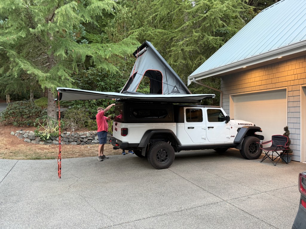
How many times have we been somewhere and mused: “If only we could stay the night?” Often, these are places that are so remote that Boo couldn’t make the trip, or would make us pay dearly if she did! So, enter The Annex, an addition to Junior to help expand our range and adventures.
That had us up at dawn, watching a beautiful sunrise from the ferry en route to Mule outfitters in Issaquah, where The Annex was being installed.

We elected to make a day of it, and visit Central Washington University in Ellensburg, which is Erich‘s alma mater.

He relived his old college memories as we wandered around the campus, and Phinn left his mark on every telephone pole. We even found his old apartment, and the coed locking the door assured us that the forest mural Erich and Larry installed 45 years ago was still up on the wall. Or maybe she thought we were a bit creepy and said whatever she could to move away from us quickly, before we asked to come inside.
The campus was charming and peaceful, but our walk was limited by smoke. Unfortunately, wildfire season has arrived in full force. A nearby fire made our eyes and throats burn, and blurred the horizon as we drove west towards Lake Cle Elem.
The lake level waxes and wanes with the seasons, and in the fall there’s usually a large sandy beach which Phoebe remembers fondly.

The pups frolicked after sticks and Phinn made us laugh by being perplexed with the refraction of his front paws underwater- he didn’t recognize them as part of himself and kept trying to bite them.
The thick smoke created ethereal bounces of light, reflecting ripples downward in concentric turquoise rings whenever the dogs moved. I wandered the shallows trying to capture the magic, but some things live best in memory.
Once we were all exhausted and shot through with sand, we made our way back to Mule Outfitters. Junior was still in the spa, and Erich waited for him while the pups and I made our way through the snarl of Seattle traffic and a downtown abuzz with excitement over the upcoming Mariner’s game where they could clinch the division title for the first time since 2001. I drove by T Mobile Park at 3 pm and the line for the 6:40 pm game was already wrapped around the stadium!
Erich and Junior rolled in at home around 7 pm, and we deployed The Annex to show Brandon and the pups. Brandon loved it, the pups wondered how they would get up to the tent (we haven’t yet broken it to them that they’re sleeping in the truck), and we’re just relived that it’s finally here from South Africa prior to the new 30% tariff! Hopefully, the site of many new adventures and memories!
Falling in Love Again
September 12, 2025
It was 1990 when I first saw Seattle. I was on a whirlwind tour of residency interviews and I descended through broken November clouds to vibrant green. Admittedly, most landscapes would appear vibrant coming from the beige of Tucson, but I was smitten before we even touched down. A friendly taxi driver gave me a run down on sights not to miss as we crested the rise around Columbia Way to see the lights of Seattle aglow in the 4 pm dusk.
After very pleasant interviews at the University of Washington, I was free to wander the city decked out in it’s Christmas finery. Westlake Center downtown was like a children’s holiday fantasy, all twinkling lights and excited shoppers. The Pike Place Market was a revelation, and I resolved that if I was lucky enough to match at UW, I would shop here weekly. Pioneer Square at the time boasted the cozy Elliott Bay Book Company, where you could wander across the squeaking wood floors amidst a delight of offerings and emerge to see the ferries, brightly lit, gliding across the Sound.
Fast forward through a wonderful, but exhausting, residency at UW, the meeting of a handsome scuba instructor who became my life partner in adventure, and sojourns in Hawaii and Colorado, and I returned to a changed Seattle in 2009. Elliott Bay Books had moved uptown to a charmless space, downtown had been beset by the mentally ill and drug-addicted, and businesses were flocking from the area in droves. This only worsened through the pandemic, though construction to revitalize downtown had begun prior.
I admit, I paid little attention as the eyesore of the 99 Viaduct, an elevated concrete monstrosity that bisected downtown with a snarl of belching traffic, came down and all was construction closures, dust and mess.
As we had returned a day early from our sailing adventure and the pups were still awaiting grooming, we decided to investigate the completed downtown waterfront. We had certainly experienced the effect of the Kitsap Fast Ferry at moorage, but neither of us had ever taken it, so that is where we started-in charming Kington boarding the MV Finest.
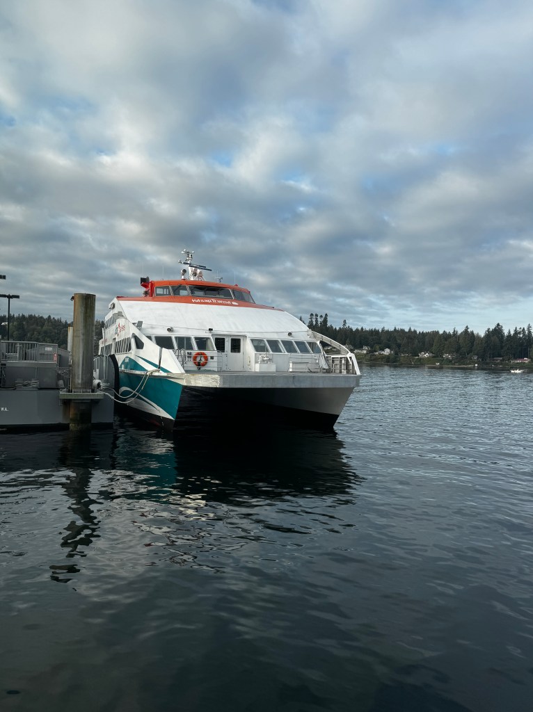
Surfing the rollers at 30 knots we were downtown in a flash, and emerged to a landscape both familiar and oh-so different!
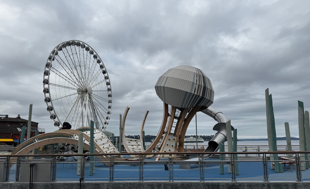
The viaduct was completely gone, allowing the wharf-side businesses to come into the light. What used to be a 10 foot sidewalk was now a 100 foot expanse, with a broad promenade flanked by wooden benches and swings, where families picnicked and played.
A broad, beautifully landscaped border bisected by a bike trail created distance from the modest traffic of two-lane Alaskan Way. The ugly I-99 traffic had been routed underground, unable to be seen or heard.

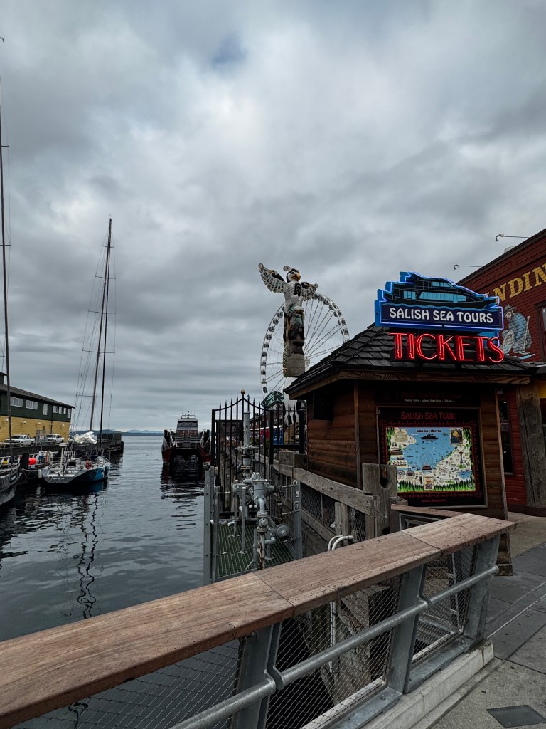
Fanciful playgrounds dotted the piers, and a winding, gently climbing path led from the expanded aquarium, where you walked beneath a window into the large Salish Sea tank, up to the Pike Place Market.
The Market was largely unchanged, thank goodness, though my favorite Bavarian Deli had gone out of business. The flower merchants and fish mongers with the requisite flying salmon remained, as did the warren of shops beneath the main market.
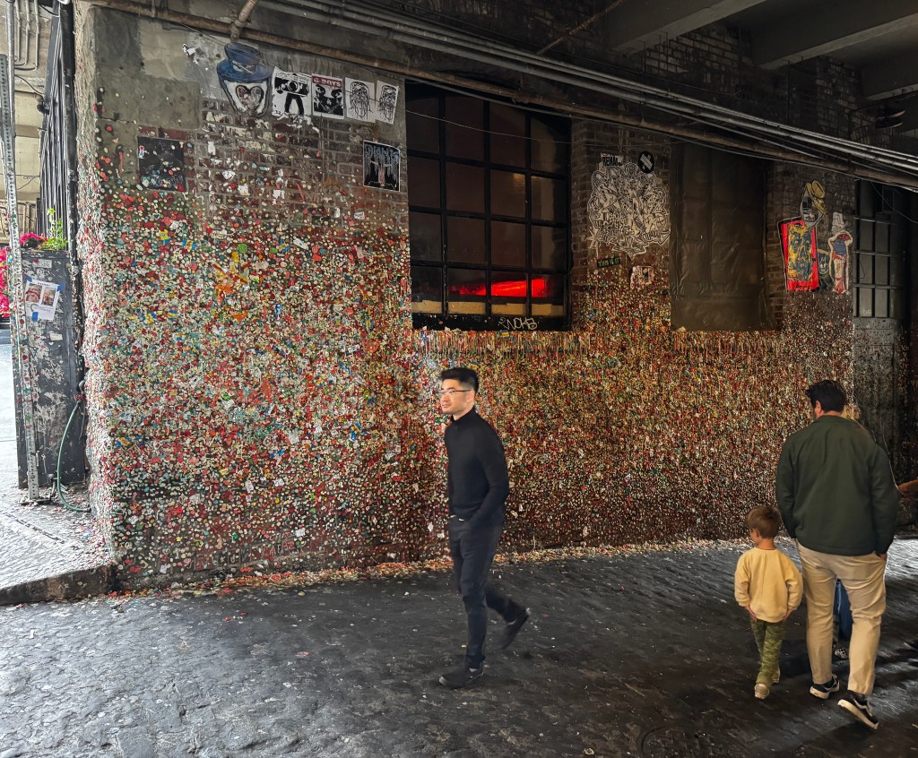
After a stop to buy my favorite Pike Place Market Tea, we emerged onto Post Alley, where the famous “gum wall” brought into stark relief the difference between local and tourist.
We walked to Westlake Center, still in the midst of reclaiming tenants, but the Nordstrom Rack remained, a different (but still fun) experience than the old 2nd street store with it’s 5 floors where I used to get all my shoes with free fashion advice of transvestites who were browsing the same aisles.
As we made our way to the Seattle Art Museum (SAM) we did encounter several hawkers, Buddhist monks on two different corners distributing prayer beads, but no other disruptions. No people in puddles of urine, no addicts injecting themselves-what a difference!
The SAM was it’s usual fun self, though unfortunately we just missed the Ai Weiwei exhibit a friend had told us not to miss… My favorite thing was the least expected, and installation of “Little Cloud Sky” that made me smile, and still lifts my spirits when I think of it.

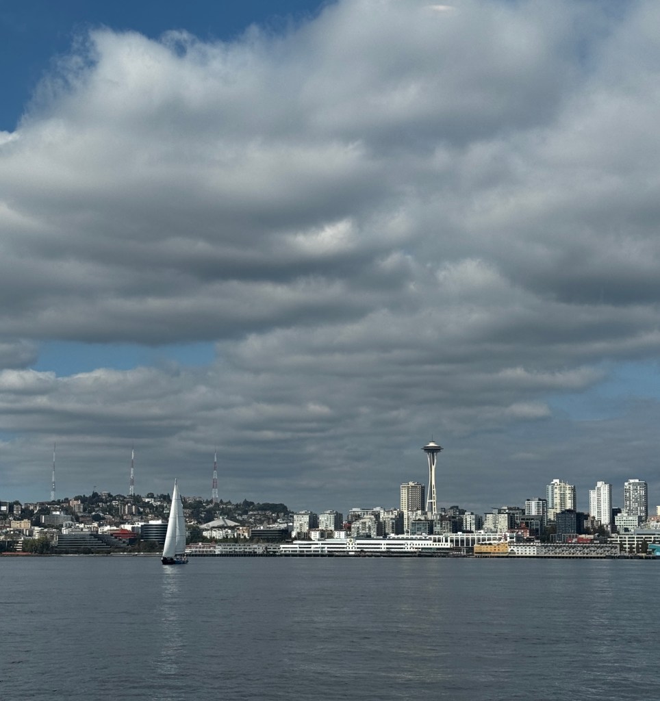
We dined al fresco on the Harbor Steps, watching businessmen below enjoying pizza in the sun, and wandered slowly back to the Fast Ferry, stopping for ice cream and people watching in one of the many plazas. Mariners fans decked out in baseball jerseys wandered by, excited for tonight’s game, and tourists from the cruise ships in port marveled at the vistas.
We marveled too, at a city brought back to life and a downtown that instills pride. Now if only Elliott Bay Books would return…
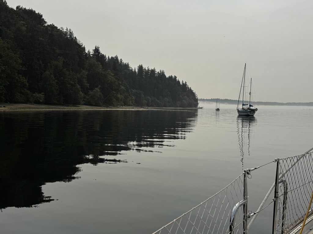
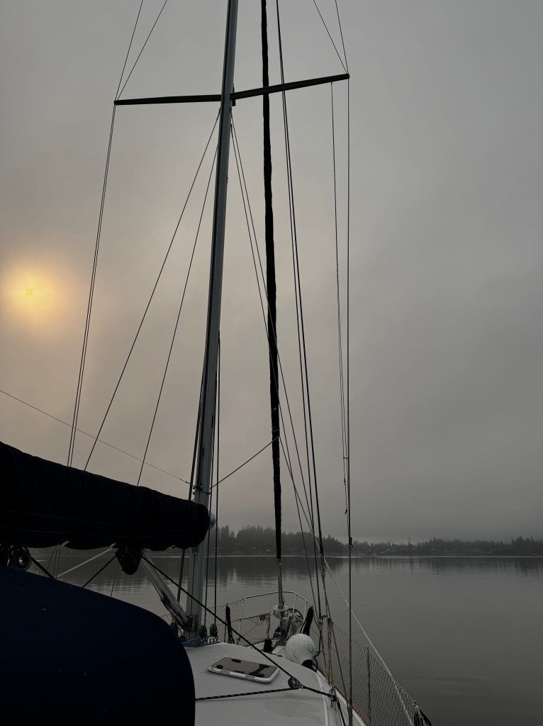
Beset by Fog
September 10-11, 2025
We awoke to the sounds of the seals slapping their tails on the water to stun fish, but couldn’t see much of anything as we were lost in a dense fog. The lights of our fellow boater came and went, wrapped in changing mist.
This was a bit of a concern, given that the currents in this region were so strong, and we had to time things very exactly to get through the Narrows and home to pick up the pups.
Once the fog eased, the current to get to our next planned anchorage was against us, and we didn’t want to take a chance in unknown waters, in the fog, against a current. We made the decision to turn around and head back through the Narrows on ebb tide, to ensure we would reach home safely and in time retrieve our fur babies.
Unfortunately, as we exited Balch Passage in The Narrows, the fog descended again. Thank goodness for radar, but even so it was disconcerting to see the footing of the Tacoma Narrows bride emerging from the fog, like a malevolent giant’s leg.

We were swept through the Narrows at a record-breaking 12.5 knots, and sailed past Gig Harbor into Colvos Passage, where suddenly the fog lifted and a fresh breeze began. Looking south, we pitied those poor sailors heading into the belly of the beast and hoped they had radar.

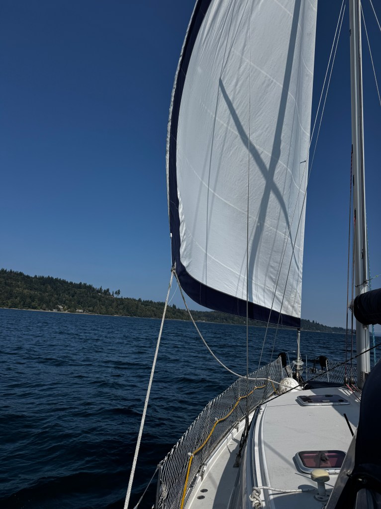
Sailing was definitely not on the agenda at the day’s outset, but with clear skies and an 11 knot wind, we were able to sail under jib to Blake Island.
Our favorite moorage wasn’t available, so we elected to try the South side of the island, knowing we would be exposed to the wake of the Vashon/Southworth ferries. What we didn’t account for were the Kitsap fast ferries, that throw an incredible wake which had us rocking so hard I had to employ the gimbled stove with it’s pot-securing arms to cook our clam chowder!
Luckily, the fast ferries stopped running about 8 pm, and we were rocked severely only once overnight, and slept surprisingly well after watching the lights of Seattle twinkle on from the cockpit.
Dense fog greeted us agin this morning, with the sinister sounds of something just off the stern breast-stroking it’s way towards us. We watched the sunrise (we think) from the cockpit and are now rocking and rolling with the passage of commuter ferries. I was once one of those commuters, taking the ferry in the pre-dawn drizzle to a job I loathed in Seattle. How lucky I am to be an observer now, and able to enjoy adventures, even if that means rocking in the mist.
Surrounded by Seals
September 9, 2025
We slipped out of Gig Harbor against the tide, hoping to hit the Tacoma Narrows at slack.
The Narrows is the official gateway to the South Sound, and all of it’s seas flow through this one tight spot. Current can reach upwards of 6 knots, with eddies and whirlpools that have spawned Native tales of boats disappearing, sucked into the depths of the whirlpools.
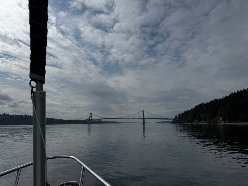
We made good time to the bridge, and thus hit it at a slightly ebb tide, fighting currents of 3 knots. Fantasy was her usual trooper and we made it without difficulty, looking up at this beautiful bridge and admiring the bravery of those workers who were hanging over the side of the bridge in cherry pickers doing maintenance.

Our next stop was Eagle Island State Marine Park, between Anderson and McNeil Islands.
McNeil Island is a bit creepy. It’s off limits to the public and has served as a Federal Prison, housing the likes of Charles Manson and “The Birdman of Alcatraz,” and later a state penitentiary. As of 2011, it closed due to high operating costs, but it now serves as Washington State’s Special Commitment Center, where sexually violent predators who have served their prison terms but are considered threats to society are civilly committed for life. Yikes! Warning signs dot the shores, and we are advised to stay at least a hundred yards offshore. No arguments here…

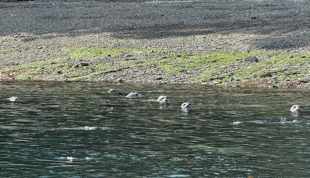
As we approached Eagle Island at ebb tide, the mooring ball we were looking for came into view, and looked if it was sitting on a beach littered with dozens of sandbags. Drawing closer, the sandbags were in fact seals, growling, snorting and playing about in the water. They watched as we caught our mooring ball, which was in fact in 19 feet of water. Once we turned off the engine they came over to investigate, bobbing curiously around our stern.
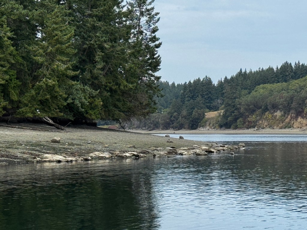
What a beautiful spot! The Island is 10 acres and accessible only by boat. It was used by the Native population as a burial ground, where the deceased were placed in canoes in the trees. It’s next life was as the site of a lighthouse to help navigate the shoals of Balch Passage, but no traces of that remain either. It’s now given over to the seals, who rest on the beaches that become completely submerged at high tide.
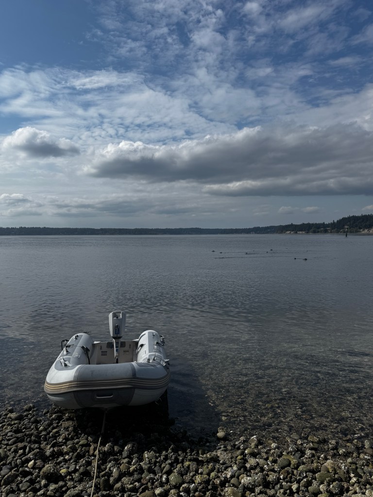
In fact, one of the things we didn’t realize about the South Sound is how many shoals there are, and how much current! We climbed in Tater to explore just as the tide had begin to flood. We were swept around the west side of the island, through more whirlpools, this time a little less secure in our small craft with a 2 HP motor!

The seals watched us beach, then swam about Tater investigating while we combed the beach for a way up the 15 foot embankment.
Tater’s hull was thumping the rocky shore, letting us know the tide was coming in fast and she was now afloat and at risk of being overtaken by seals. Having found no easy way to access the interior of the island, we climbed back in and fought our way back to Fantasy against a current the likes of which we haven’t experienced in all our years of boating. It was wonderful to finally see Fantasy’s beautiful stern!

Back aboard, we put Tater away for the day and settled into a long evening in the cockpit listening to the seals grunt and splash. The bottom of eelgrass and white shells was visible through the emerald waters, and butter yellow jellyfish floated by like ballet dancers on stage. As dusk descended, the Anderson Island ferry lit up like an etherial vision, backed by the barely-there silhouette of Mt. Rainier.

The moon rose crimson on the horizon as we sat in the cockpit, serenaded and surrounded by seals…
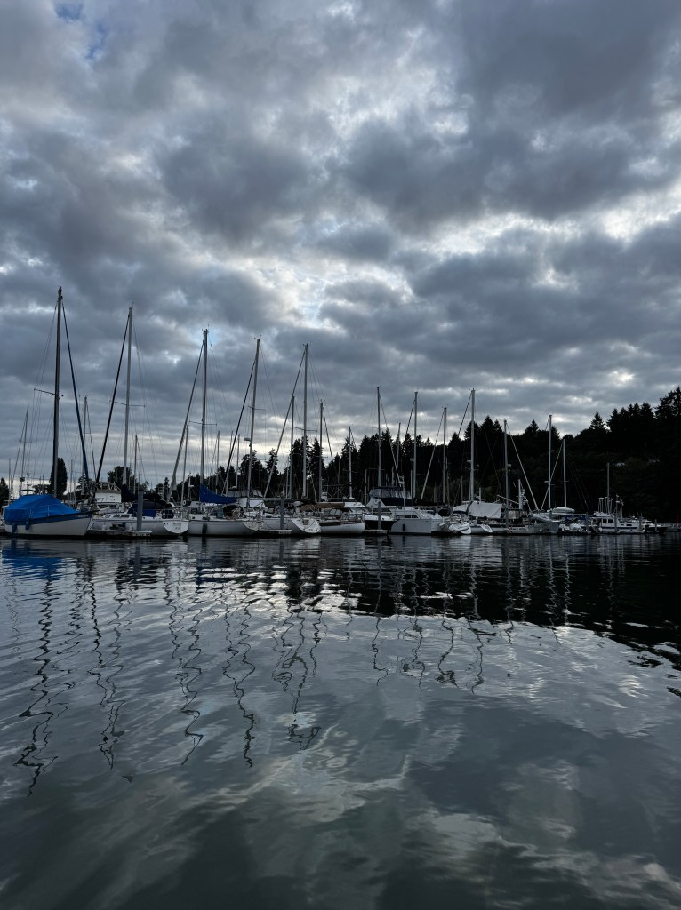
Greed and Grace in Gig Harbor
September 8, 2025
After a sublime morning in the cockpit watching the sunrise, we set off to provision at Gig Harbor. We’d stayed here years ago in Sabór, and remembered many restaurants, a West Marine (where I could replace my precious collapsable bucket lost in the mud of Quartermaster Harbor) and the piece de resistance- a true grocery store!
Gig Harbor is one of the most protected anchorages in Puget Sound-a harbor accessed by a very narrow channel between two sandy beaches that is almost impossible to see from the water if you didn’t know it was there.
This opens to a mile-long bay which can accommodate a fishing fleet. In fact, it was first settled permanently by Croatians in the 1800s, who did base a large fishing fleet here. They built homes around the harbor, many of which are still standing, and set to sea in purse seiners-a type of vessel that uses a small boat to drag a net in a semicircle around the stern of the main vessel, and then the net (seine) is brought together like a purse, capturing the fish inside. Several are still moored here, but the harbor has mostly been taken over by pleasure boats.

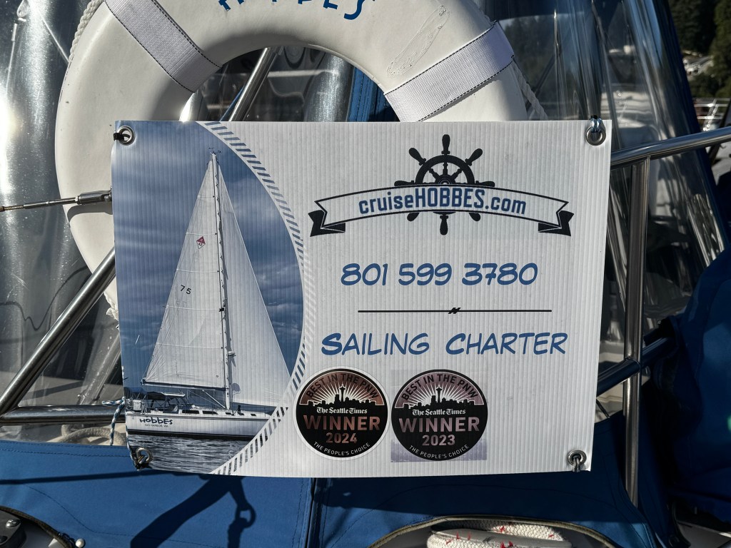
Our slip was located beside a couple who run sailing charters as a retirement gig-Frank and Karen Hobbes. They sail a Catalina 42, which was Sabór’s make, and we talked about that after they had complemented Fantasy by saying she was the only make of boat over which they had boat envy. They also advised us that harbor side Gig Harbor was no longer as we remembered it. There were still plenty of restaurants, but no West Marine and no grocery store within walking distance.
We set off towards the end of the harbor, about a mile walk, where they advised us a small market still operated. Stopping on the way for a fabulous calzone at Milltown Pizza, we set out well-fortified for our walk. Chalk drawings graced the sidewalks as a part of a late-summer festival, and the views were beautiful.

After what felt like five miles, we reached the store to find it had a few of the items we needed, but not the main one-a can opener. Turns out metal rusts near salt water, and our decade-old can opener had it’s teeth rusted off. Erich managed to open the cans for our bean salad several nights ago, but I had to pick out pieces of tin from the beans, and we worried one of us might sustain a laceration from the cans in the garbage, though we buried them the best we could.
Erich slogged home with the groceries while I scoured the harbor for a can-opener, in the process finding the most expensive collapsable bucket I’ve ever purchased at $50, but no can opener. Most of the shops in which I asked were very gracious, but favored sequined ball caps and marine-themed wine glasses. The last store was less than gracious, asking why I would expect to find something so mundane in her high-end kitchen store…I replaced the cute prawn spoon rest I was planning on buying, not wanting to give her any business.
Back at the dock, Frank and Karen had returned from their charter and asked if we had found what we needed. We described our saga of the can-opener, and offered to buy one from them if they had an extra. They didn’t, but wouldn’t hear of us saying “no” to their offer to drive us to Safeway to purchase one. En route we discussed what had happened to the Gig Harbor we remembered. “Greed,” they said. Only investment bankers, lawyers, high end gourmet shops and real estate offices can afford the exorbitant rent. As they dropped us back at the marina, shiny new can-opener in hand, we contemplated (over a charming dinner at the JT Trolley) both the greed and the grace we found in Gig Harbor.

Curious Quartermaster Harbor
September 6-7, 2025
Our last day at Blake Island was just as lovely as the first two. The morning brought fog and rain, and we nestled below enjoying a lazy morning, warmed by the diesel heater as the rain drummed on the hatches. We used the time to re-acquaint ourselves with the inner workings of Fantasy, and used our generator to recharge our batteries and heat water for dishes and the bliss of hot showers.
By the time we’d completed this, the fog and rain had given way to sunshine and we set off to explore the southern portion of Blake Island. Over 30 years ago, we lived in an apartment in West Seattle that fronted the Puget Sound. We loved hearing the storm-driven waves slam against the breakwater, and bought a two person kayak that we took for evening rides. Once, we paddled 8 miles to a campsite on southern Blake Island, where we spent a weekend exploring. We hadn’t been back since, so we set off on another gorgeous trek through the forest to find the site.
It was just as we remembered it-the sites set above the beach amidst golden grasses, with views of the Vashon ferry in the distance. Hard to imagine so much time had passed… We lay back in the grass and soaked in the moment, and when we got up our hips and knees reminded us that time had indeed passed!
Back aboard, we basked in the glow of a lovely sunset. A beautiful farewell to Blake Island.
The following morning was cold and windy, and we donned watch caps, gloves and thick jackets as we made our way down Colvos Passage towards our next stop, Quartermaster Harbor. Vashon Island, a charming rural community we have visited by car, sits in the midst of busy Puget Sound, with Tacoma just to it’s south and the southern Seattle suburbs to it’s east.

It is connected to Maury Island by a thin isthmus a a little over halfway down, and Quartermaster Harbor lies between the two.
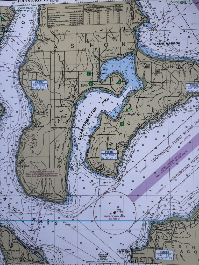
Our destination was Burton, at the northern extent of the harbor. Our guide said “Burton village has a general store, an espresso stand with great pastries, post office, restaurant and some marine supplies and a bus stop.” We caught a mooring ball and took Tater in, looking for a warm restaurant meal.
There were two marinas and all sorts of signs of life as we motored in, but alas we were greeted with large signs at both marinas “PRIVATE. NO TRESPASSING!” We had arrived at low tide, and the banks around the bay were deep, smelly mud. Tater refused to sully her hull in this, and we agreed it would likely be comical and messy.
We would have returned to the boat but we needed provisions, so took a chance and docked under the gangway of the larger marina that seemed closest to town. Suddenly, the signs of life vanished, with the exception of one poor soul whom we peppered with questions about if we could dock, who we could speak to that might allow us access back into the marina’s locked gate if we went for lunch, etc. She looked at us quizzically, and said “This is Burton. There’s not a lot here.” As it turned out, there was no restaurant, marine store or espresso stand. There was a single store that was quite small and she wasn’t sure it was open Sundays. She gave us directions, and Erich went in search of it while I stayed behind the locked gate to let him back in. At least the view was lovely!
He returned with tortilla chips and Oreos-delicious, but definitely not dinner fare. Erich said the clerk had asked him where he was from, as they didn’t see many new faces. When he told her we were exploring the South Sound, she chuckled and said “Why?” Not the experience we were expecting. We motored back to Fantasy to rifle the fridge for the semblance of dinner and contemplate nasty emails to the guide’s author.
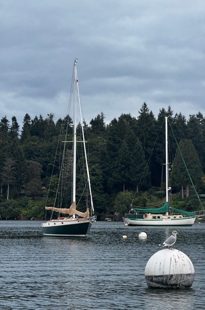
After a dinner of steak and salad (not bad for the dregs) we went for our evening dinghy ride to explore the shoreline. Despite the lack of amenities, this is a beautiful little bay, surrounded by homes nestled amidst the trees and some intriguing inlets. We followed one back towards it’s source at a stream.

En route, we encountered the remains of a half submerged wooden houseboat. We were approaching to investigate when a large animal emerged from the water nearby, it’s mouth a reddish-pink. I’m sure the look on our faces was one of pure horror as we tried to puzzle out the identity of the creature of the wreck! It turned out to be a huge seal with a salmon in it’s mouth, and we laughed in relief as we made our way back to Fantasy.

Sitting in the cockpit as darkness envelops us, the warm amber lights of the homes reflect on the still waters and seagulls calls fade to silence, we see the appeal of this place. Just bring plenty of provisions and hip waders!
Island Idyll
September 5, 2025
After a wonderful night’s sleep, we sat in the cockpit enjoying our coffee as the sun slowly burned off the morning fog that’s so common here in the fall. By ten, we were ready to head out and explore the island.
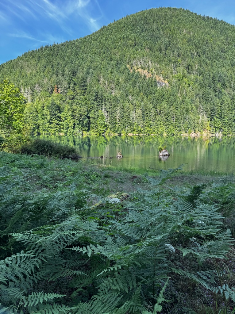
Blake Island is a haven set in the middle of the most populous area of Puget Sound, accessed only by private boat. Lying between Bainbridge Island to the north and Vashon to the south, it’s 475 acres of wilderness just miles from the hubbub of downtown Seattle.

It is rumored that Chief Seattle was born on the island, which was a summer camp and hunting ground for the Suquamish Tribe. It was first visited by “tourists” when Vancouver was exploring this region. The Suquamish gifted Vancouver a deer from the island, and his men went ashore to try their luck at the hunt. Like everything in this region, the island was clearcut in the 1850s and left an eyesore, then purchased in 1900 by a Kentucky lawyer and his wife, William Pitt and Cannie Trimble, and renamed “Trimble Island.” They built a large summer home near where the marina is today. Cannie died after her car plunged from a pier into Elliot Bay, and the summer home and island were left to nature.
Purchased as a state park in 1974, it was officially named “Blake Island.” A replica longhouse was constructed near the marina and hosted traditional salmon bakes and Northwest Indian dancing until COVID forced it’s closure in 2021.
The longhouse now sits abandoned, dreaming of it’s heyday in 1993 when it hosted the Asia-Pacific Economic Conference and then President Clinton. Rumor has it that the park service is trying to find a use for it. Hopefully that happens…
We took Tater to shore where she endured an ignominious landing amidst the slippery eel grass at low tide. She was then dragged a hundred feet up the beach and tied to a tree, where she no doubt worried as much as we did that she would be taken at high tide.
Setting off in gauzy sunlight on the Perimeter Trail, we were serenaded by foghorns from the shipping lanes a mile to our east. The tips of Seattle’s skyscrapers peeked from the dense fog, which seemed a world apart from our dappled shade path.

The ship channel to the marina stood deserted, no one wanting to venture into the fog with container ships plying those same waters.
We prowled around the old longhouse, peering in the windows and imagining the place alive with music and the smell of smoking salmon.

Walking back to Tater, we marveled at the capacity of nature to regenerate. The cedar, maple, fir and madrona are huge, testament to the power of time absent the interference of man. Mosses cloaked the tree trunks in cozy green blankets, and the first falling leaves spun gently to the forest floor. Sword ferns carpeted the sloping hills, and light olive lichens littered the trail.
A rhapsody in green.
A happy reunion with Tater, who remained 50 feet above the tide, and we settled in to some beach time. Erich talked story with various mariners, while I plied the beach for a bountiful haul of sea glass.
When the tide reached Tater, we made our way silently back to Fantasy, delighted with our Blake Island idyll.
September’s Fantasy
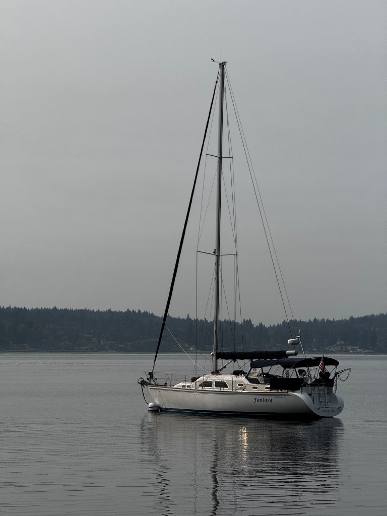
September 4, 2025
Fantasy turns lazily at her mooring ball of the northwest shore of Blake Island. An occasional passing boat rocks her in it’s wake, but the main events here are the calls of the gulls and heron, punctuated by the splash of jumping fish. A gauzy September sun, suffused by fog, softens every edge, but still warms enough to allow us to pad barefoot over the teak cockpit floor.
Phoebe’s health issues have kept us from our usual summer boat trips, but she seems in much better form lately on a low dose of prednisone, so we would chance a longer trip. Still wanting to be within a day’s range in case of a puppy emergency, we decided to cruise South Puget Sound.
We have never been south overnight in a boat. Our previous sailboat, Sabór, took us on many day trips to Blake Island, but we’re looking forward to exploring beyond. But that will have to wait a few days, as this current spot is sublime and we are staying a few nights!
We left Poulsbo yesterday in a marine layer with fog clinging about the hills and threaded through the pines, and the sea rolled before us like unspooled grey satin. An occasional glint of sunlight provided contrast, but almost all was hues of ash.
Approaching the Brownsville marina for fuel, we found ourselves suddenly in a thick fog, but what a difference experience makes! We spooled up the radar and I stood on the foredeck blowing our air horn, and all remained calm.
By the time we’d finished our yearly fuel stop, the fog had parted to reveal a lovely late summer’s day. Dolphin performed their undulating aquatic ballet, and seals bobbed close to our stern, sleek pelts painted with sunlight.
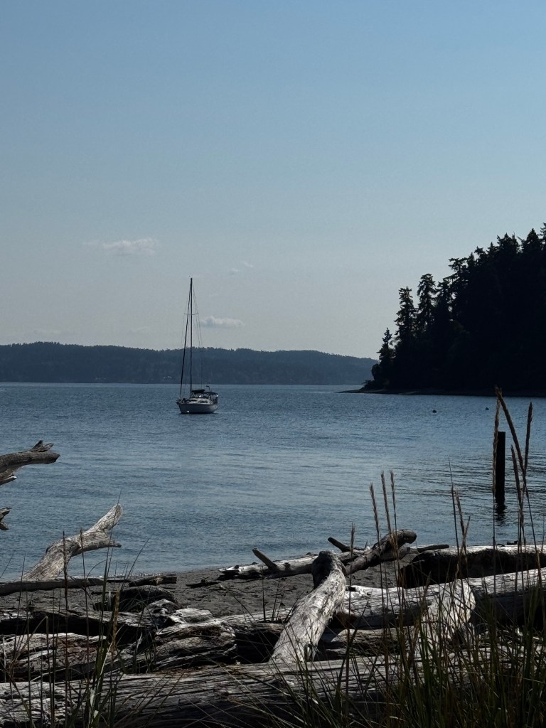
Arriving at Blake Island, we found our favorite area (scouted on our multiple day trips) could accommodate one more boat. There’s nothing that makes a sailor’s heart sing more than securing the last mooring buoy in a favorite spot!
After a quick lunch, we jumped in Tater (our dinghy) and set out to explore the shore. Last year we made our best marine purchase other than Fantasy-an electric outboard for Tater. We now glide silently along the shore, not disturbing any wildlife and hearing nature in full voice.
We stopped at the marina and walked the beaches, then circled the island to the south, floating over a tapestry of eelgrass, sand and rock and under sheltering madrona trees. We spotted Fantasy in the distance just as a wildfire-orange sun was setting, and climbed aboard to watch the lights of Bainbridge and South Kitsap twinkling on behind the ferries, drifting back and forth across the sound like brightly lit wedding cakes. And so, a Fantasy begins.

The View From Here
August 28, 2025
Have you ever had an idea so fixed in your head that it acquired an aura of mythic impossibility?
Unfortunately, this happens to me a lot, but it is rare that I get to experience these ideas made real. This week I did.
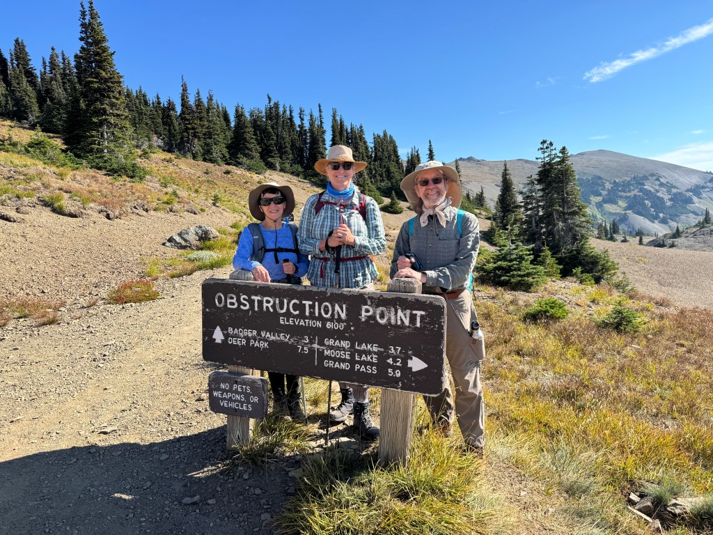
Since my first visit to Olympic National Park’s Hurricane Ridge in 1995, I’ve wanted to hike the rolling mountains to the east. There is a campground at Deer Park, about 15 miles as the crow flies from Hurricane Ridge, and untold miles afoot. A dirt road shortens the trek, but the Deer Ridge trail that connects the two remains a 7.5 mile trek with significant elevation changes.
At the beginning of summer, on an easy hike through a blooming forest, Dianne and I resolved to do this hike and set a date-August 25.
Those who know Dianne realize this would be child’s play for her. She works out for hours daily, has qualified as a R.I.P.P.E.D instructor, and hikes 13,000 foot peaks in Colorado. Those who know me would likely question my sanity.
Erich (who definitely questioned my sanity and equipped me with a long-range walkie talkie) dropped Dianne, her husband Todd and me at the trailhead and promised to be waiting on the other end. We were a spunky trio as we set off, into the heart of the mountains on a blistering August day.
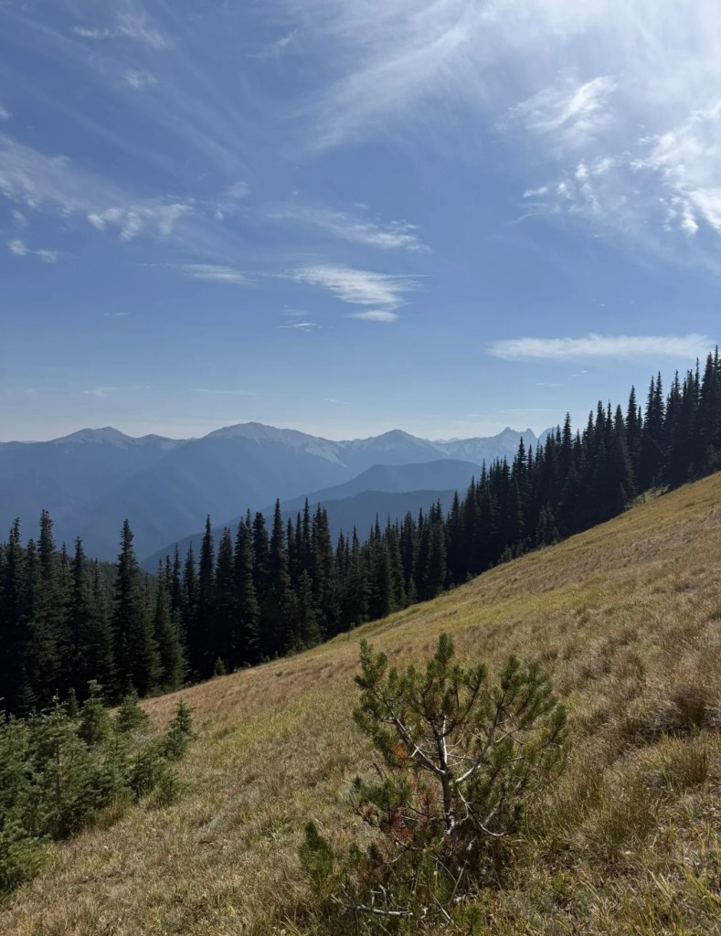
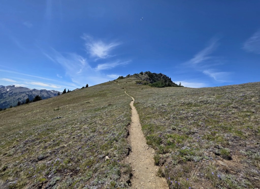
The first part of the trail snaked up a scree slope to a high ridge, with views of pleated green valleys and sky blue glaciers on Mt. Olympus still dusted with snow.

The trail wound around the most interesting rock formations-thin plates of rock that protruded from the earth like stegosaurus spines. Delicate wildflowers bloomed in what seemed forbidding terrain, peeking up between the rocky splinters in a defiant blaze of white, yellow, pink and purple.
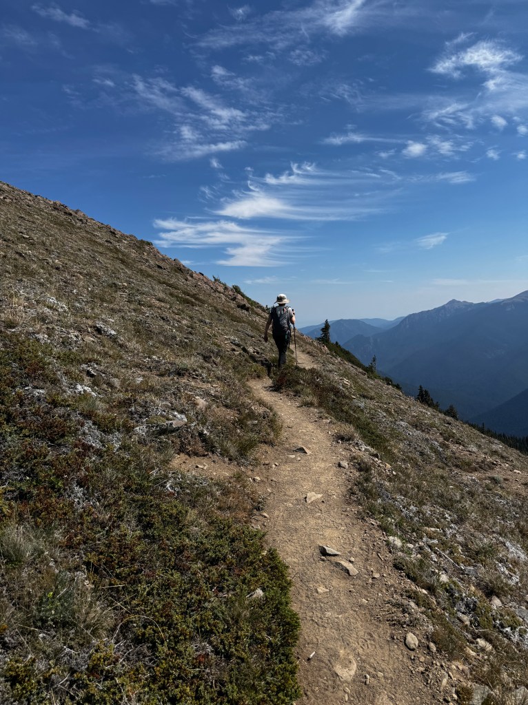
We tip-toed along the dinosaur spine and emerged on it’s wide back-golden meadows surrounded by layer upon layer of mountains, with occasional glimpses of the Strait of Juan de Fuca and the Dungeness Spit far below to our north.
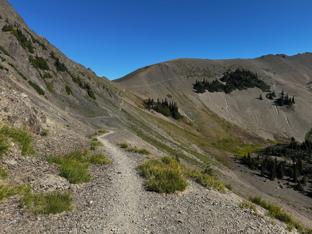
And then the trail dropped down the the flanks of the mountain, a barren expanse of slippery micro-scree into which a thin and very steep trail was traced. Had I known about this portion of the trail, I might have had second thoughts. The angle of the slope was between 40-50 degrees, and if you were to slip, there was nothing between you and Badger Valley, about a thousand feet below.
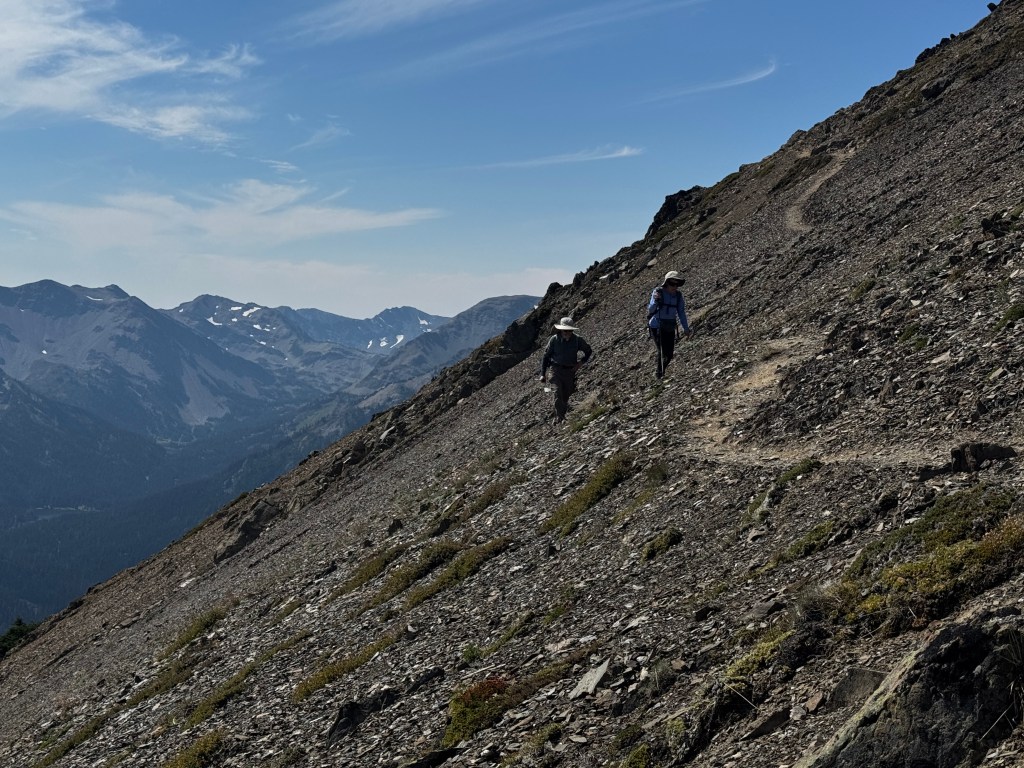
In the midst of this traverse, we were lapped by a young couple who we had seen finishing the trail as we began it. They were doing and out and back run, though even they slowed through this area as “things could end very badly” at a trot.
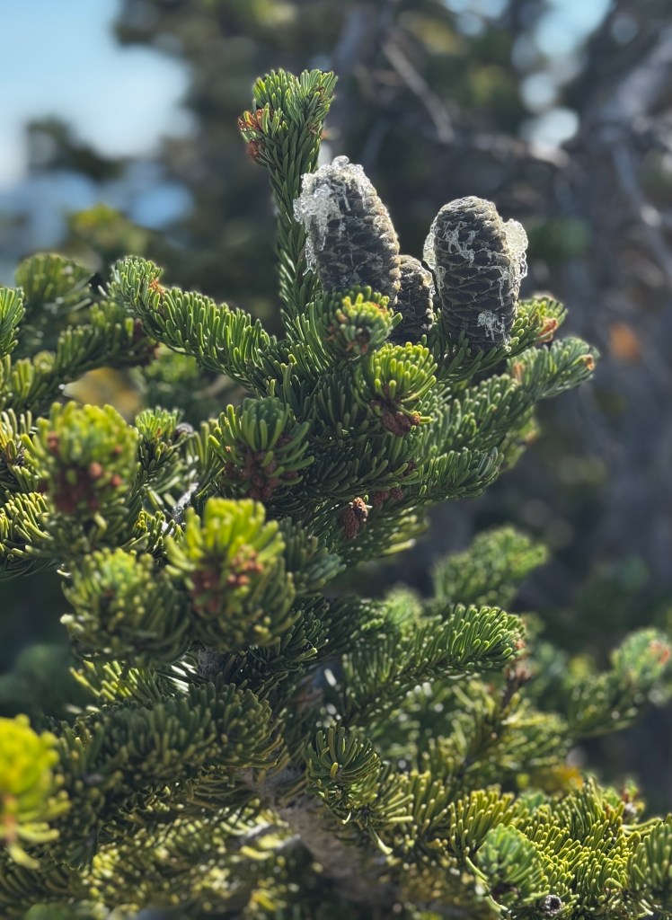
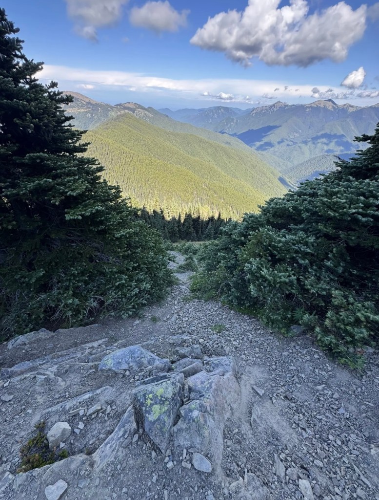
After another hair-raising scree slope, we found ourselves back amongst the pines. Small, twisted and bowed by the forces of the Pacific winds, they were each crowned by glimmering cones created by waterfalls of sap that laced their sides. The effect was like walking through a forest of delicate, suffused light. What a welcome and lovely sight after our view of nothing but the path of our impending fall under the blazing sun!
Back amongst the trees, we climbed up and down in cooling shade, past cozy-looking dens tucked under the tees and the occasional sun-splashed meadow. Through the trees, more glimpses of the Salish Sea, with Victoria in British Columbia glinting in the distance.
Our various tracking devices were not agreeing on the distance we’d come, but we decided on maybe 7 miles, with a half mile remaining. I radioed Erich that we should be there within 15 minutes and set off with a spring in our step again. And then the trail turned up, and up. The shimmering half mile turned into more of a mile-long uphill slog, the worse for being unexpected and so near the end. But of course we made it, Dianne setting a blistering pace and slowing to essentially crawling on her hands and knees as she saw the drowned rat behind her struggling…
At the top, a decidedly worn bunch posed for the bookend photograph, and crawled gratefully into the air conditioned car.

We relived our daring traverse as we drove through golden late summer meadows, and all agreed the Deer Ridge Trail was another amazing experience. Smoke from the Bear Gulch fire moved in more densely later in the day, creating dramatic vistas on our drive home. But now, I know what the deep interior of the park looks like afoot, and the view from there is divine.
Midsummer Idyll
August 10, 2025
They say summer doesn’t start in the Pacific Northwest until July, so technically we’re still in midsummer here despite the Halloween decorations in Costco and back-to-school ads. And without doubt the most spectacular time to be here.
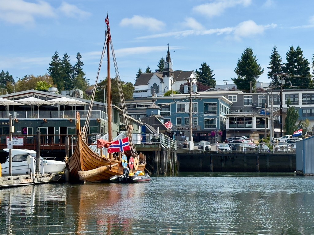
We’ve been for a few more dinghy rides to the waterfront of charming Poulsbo, originally settled by Norwegians, as it reminded them of their homeland with it’s fjords and mountains. A few of those Norwegians are still arriving today, after a journey of what appears to be centuries…
We had a welcome soaking rain several days ago, and we thought it might be the perfect time to head to the Olympic National Forest without the typical summer dust.
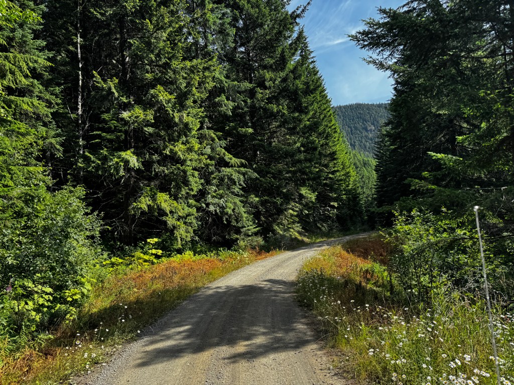
We always enjoy our trips here, taking daisy-lined forest service roads to the most beautiful falls in the northwest-small, secret and named only by us as Joe’s Creek, after our gentle giant of an airedale who loved this place.
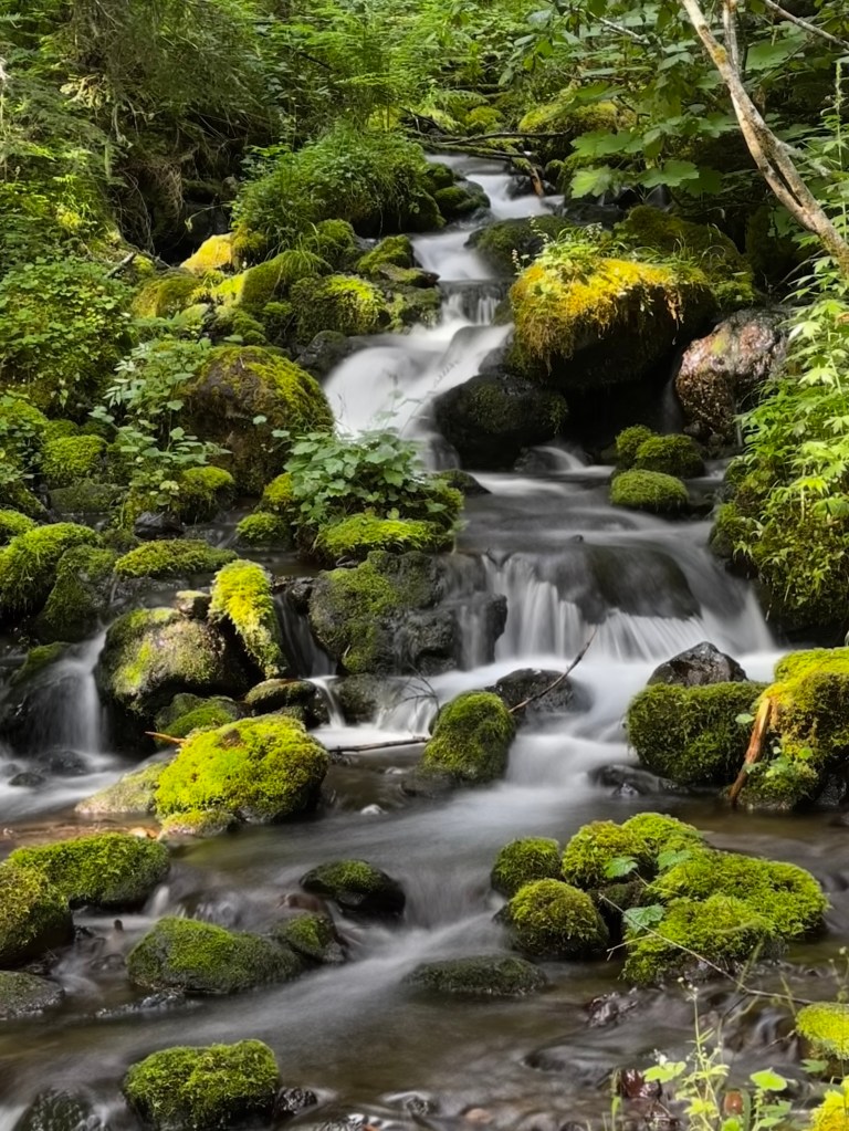
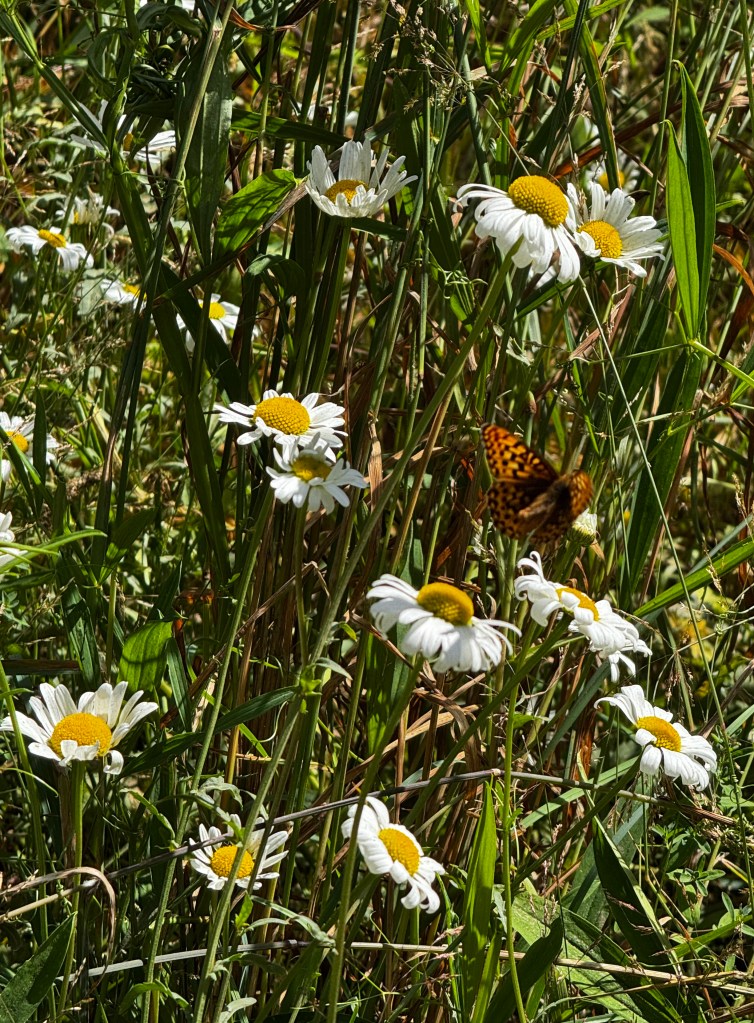
While Erich photographed, Phinn and Phoebe (doing much better on her prednisone) took a walk down the road and watched the butterflies play.
While it was lovely, as always, we were struck by the mounds of trash at impromptu shooting ranges, the abandoned RVs, and the people roaring past us on the dirt roads, music blasting.
Maybe it’s age, maybe it’s disposition, but it made us wistful and Erich wrote the first poem I’ve known him to write: he calls it “The Forest Remembers.”
The forest remembers the hush before boots, the moss unbruised,
the cedar unscarred. It remembers the elk’s quiet passage, and the
rain’s soft confession to the soil.
Now, the silence is pierced— by gunfire, by engines, by the careless
echo of laughter that does not listen. Shell casings glint like broken
promises beneath the ferns.
A rusted RV slumps in the underbrush, its windows shattered like trust.
The trees lean away, as if trying to forget what they’ve been forced to witness.
But still— the lichen clings. The raven circles. The stream sings its old song to
anyone who will hear.
And I, a flawed pilgrim in a fuel-burning vessel, stand in sorrow and reverence.
I gather what I can. I name what I cannot fix.
Because the forest remembers. And now, so do I.
Sometimes you think you know someone after 30-plus years together, and they surprise and delight you.
Speaking of surprises, I went for my first beach walk today since my surprise encounter with Ellison, hoping he would be done molting and have moved on. Phinn elected not to join me, and as I picked my way along the shoreline at low tide I saw a man carrying crab pots to his boat just by where Ellison had set up camp. I assumed he was gone and relaxed my guard, but no-he remained dozing on the beach as that (brave?) human walked right by…
After filling my pockets with sea glass, I climbed a blackberry-lined path back to the road. I have a love-hate relationship with blackberries, as they take over everything with their probing barbed vines. But at this time of year there’s nothing more amazing than reaching out to a luscious purple berry, so ripe it falls into your hand with the slightest touch. Berries of that sort explode in your mouth with a firework of seed and sweetness, and almost make the barbs worthwhile.
Walking home along the road I pass neighborhood flower stands and always stop to buy a bouquet-at $10 the best deal around! And who can resist dahlias?

Back home Phinn runs to greet me, and I tell him all about my beautiful walk. He promises to join me next time, and we join Erich and Phoebe on the deck. The wind chimes sound in the breeze and boats with sails flying head past, out to enjoy this lovely summer day.
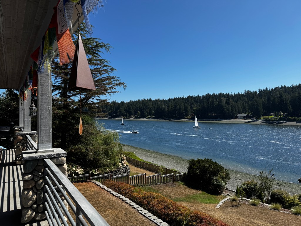
Encounters with Ellison
August 4, 2025
It’s good to be reminded of your place in the world, and yesterday I was gobsmacked by nature.
It began a day like any other, walking on the beach as I do most days. In fact, I had taken the same route as I did just the day prior, when Phinn abandoned me in favor of a beguiling boxer (Klara, Brandon’s pup) and I walked alone.
It was a lovely walk, full of beach glass and neighborhood flower stands, and I had no reason to think yesterday’s walk would be any different.
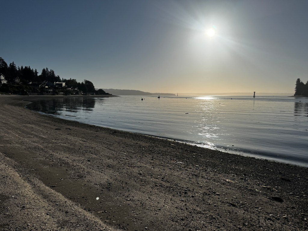
Phinn joined me as Klara sleeps in on Sundays, so perhaps it would be a little different as he still goes crazy when on a leash around other dogs. This is our main reason for walking on the beach versus the road-not only is it beautiful, but other animal traffic is minimal. Or so I thought…
As we were ambling along a sandy stretch listening to waves lap the shoreline, a section of the beach upslope rose and grunted, a mere 15 feet from us! Both of us watched in amazement as the sand resolved itself into the form of a massive elephant seal. I dropped my phone and we ran.

Regrouping several hundred yards away, I plotted how to retrieve my phone. Phinn wanted nothing to do with that plan, but went along remaining mercifully quiet as I slunk in, took a few shaky photos (which truly do not do him justice), and scurried away.
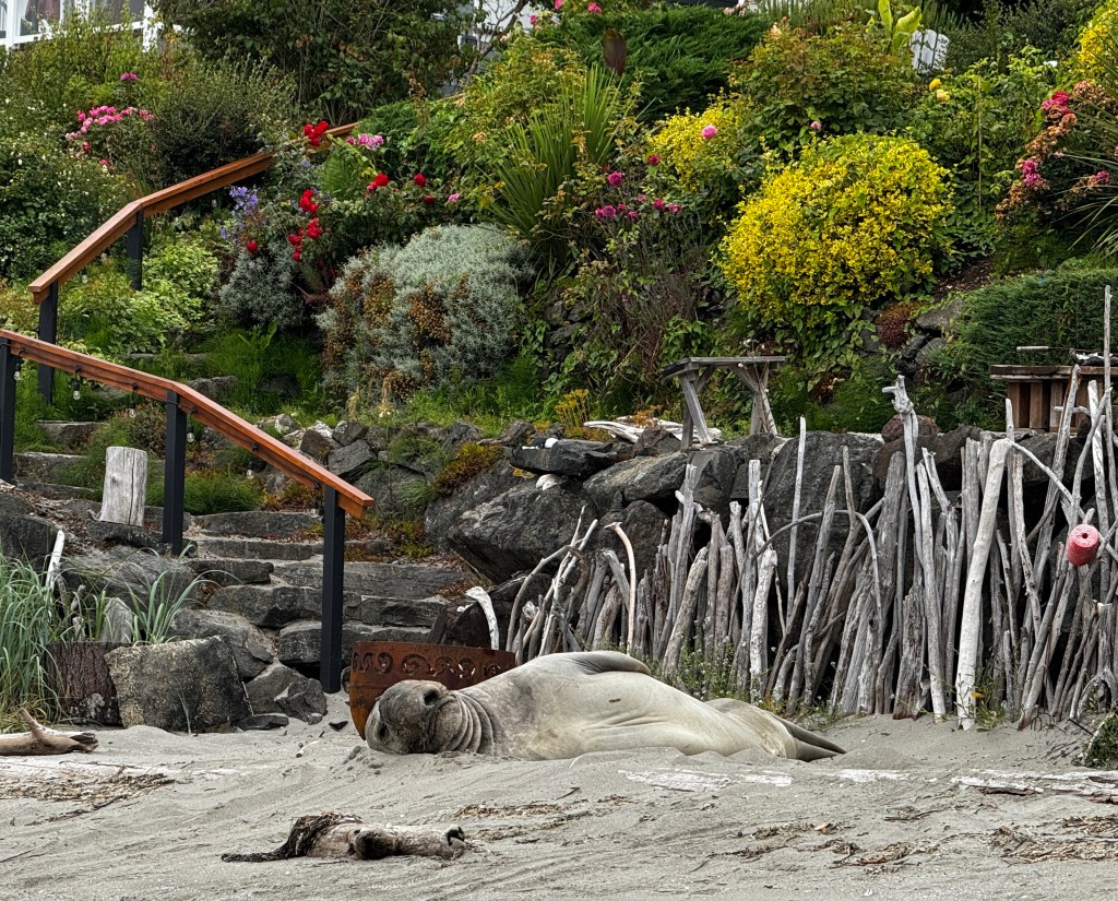
Phinn and I kept looking at one another, trying to make sense of what we had just seen. His tail remained between his legs for the remainder of the walk, as did mine. No question we were avoiding the beach, and on the road back, affixed to a tree trunk in the midst of a lightly traveled forest path, was the following:
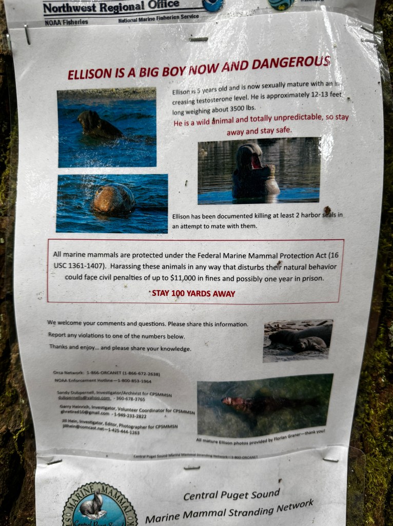
That would have been nice to see on the path leading down to the beach, but at least we now had a proper introduction: Ellison the elephant seal, 13 feet long and 3500 pounds!
I later read that male elephant seals can grow to 20 feet and reach 11,000 pounds, which makes me glad Ellison was just a teenager.
I have never been that close to that large a creature in the wild, and neither Phinn nor I will ever forget it. Phinn says he’s sticking with Klara from now on.
Here and Now
July 30, 2025
Golden spangles flash in the late afternoon sun as the pups and I swim in an emerald cove off the coast of British Columbia. They delight in circling me and nudging me with their noses to throw yet another stick, and I think I’ll remember the this precious moment forever. It was September of 2021, and the beginning of our ill-fated sailing trip. Who would have thought that within a few days all would descend into chaos and Bertie would leave us within months?

That moment had stuck with me, not only for its exquisite perfection, but for what it says about appreciating the here and now.
We’ve had a stretch of incredible weather, beloved friends are in town, and Phoebe is holding her own. And I’m fully aware of the preciousness of the moment.

The sunshine has made the water much more appealing, and I’ve been teaching myself paddle boarding (to the amusement of our neighbors) in front of our house, and we’ve been enjoying occasional kayak rides as well.
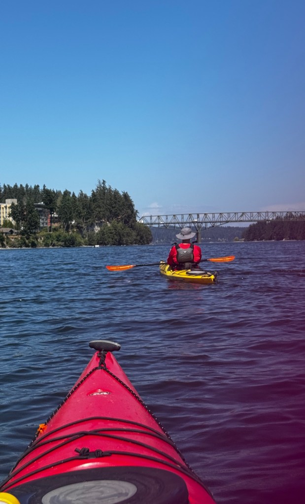
We’ve been out sailing several times, and the peace of the water with dolphins arcing in our wake has inspired us to plan a tour of the South Sound in September. We’ve never been south and proximity to home in case Phoebe has issues is paramount.

Our California friends have helped us see the beauty around us with a fresh perspective, and we’ve lingered over afternoon tea at the charming Dahlia Cove Studio in Port Gamble, and combed the beaches at Port Townsend.
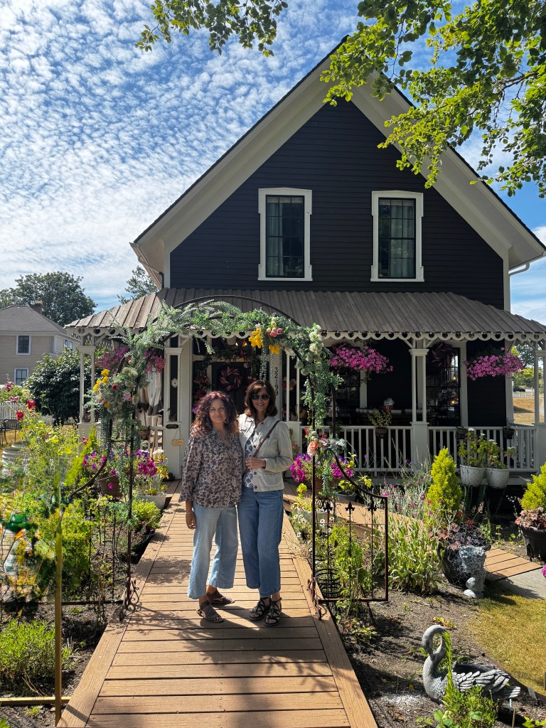
A particularly lovely evening was spent listening to a concert from the water with a group of kayakers and paddle boarders, after a somewhat embarrassing exit from Fantasy in our dinghy, Tater. Hopefully this was not witnessed by any of our neighbors watching me paddle board, as I suspect a Mustang survival suit would be recommended…
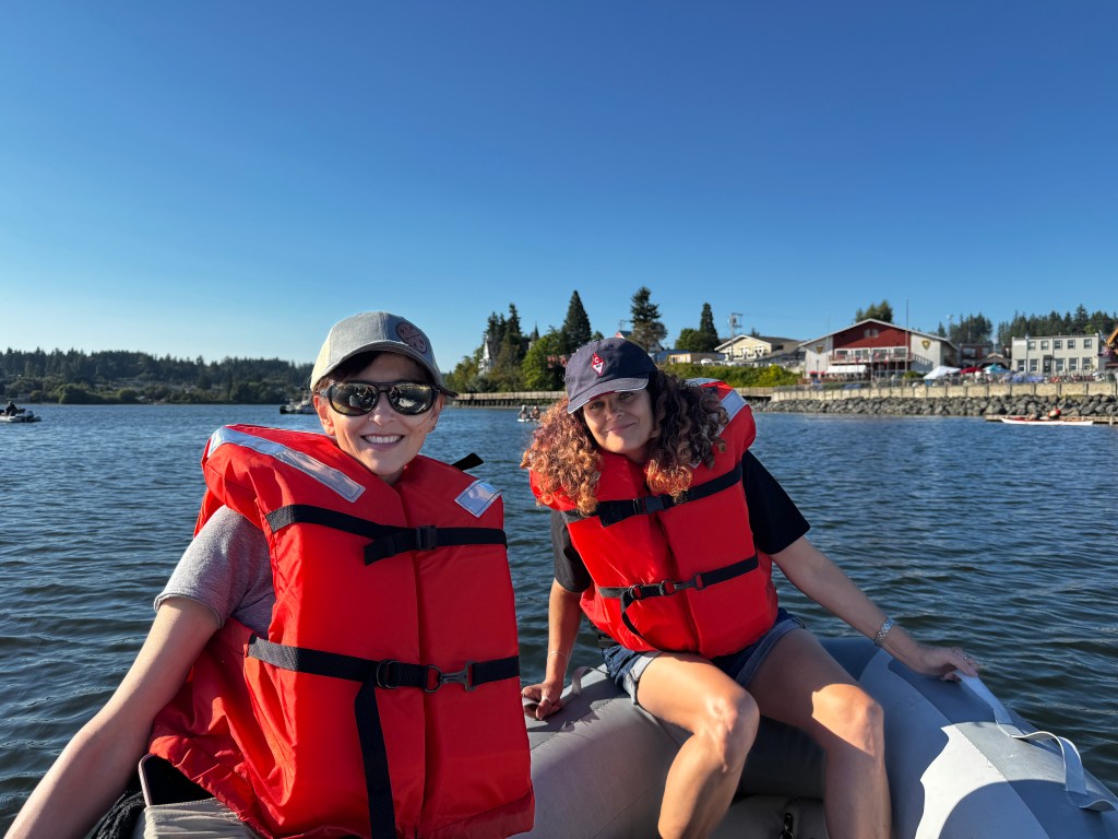
And so I glory in the transcendence of the here and now, knowing that in life not all will be sublime cockpit sunsets and laughter with friends.

What Is Love?
July 17, 2025
The stairs from our bedroom overlook our driveway, which is our staging area for Phinn and Phoebe.
We were planning a beach foray, and I was walking downstairs after changing into my paddle boarding wetsuit when I saw a scene that warmed my heart: Erich and Phoebe were huddled together and he was applying sunscreen to her newly shaved backside.
Our girl has been through a slew of diagnostic tests in the past week for her worsening lameness, starting with an exam that led to a neurology referral that led to the need for an MRI and lumbar puncture. The MRI couldn’t be done before she had an echocardiogram to assure her heart failure was stable enough to undergo general anesthesia.
So, fast-forward a week and she has large patches of shaved fur on both front legs, her neck, her rump and her chest.
She seems to be delighted with her new look, as it coincides with a Pacific Northwest heat wave, and is as happy as ever.
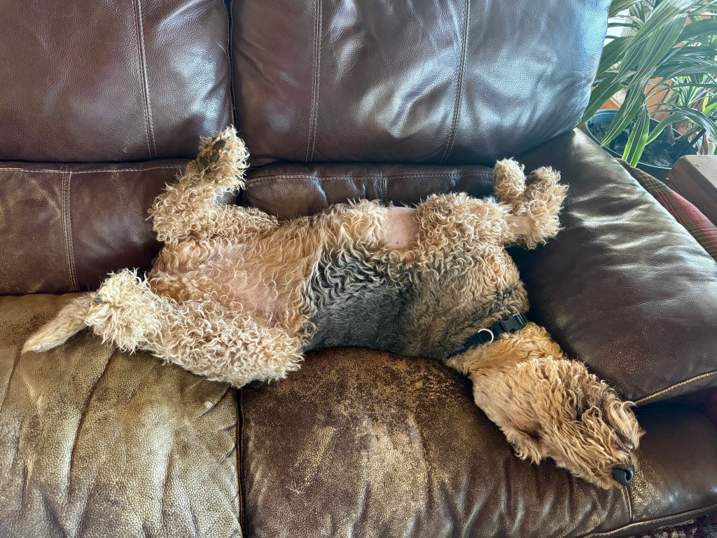
Erich and I are still processing the results, and struggling with the meaning of love as applied to aging canine care.
Her heart failure is stable thanks to meds that cost more for a month than both of ours combined cost for a year-so that’s good news.
Her MRI had a few abnormalities, but nothing serious that would explain her progressive weakness. While we are still waiting on her spinal fluid tests and some genetic testing, the most likely diagnosis seems like a form of doggie ALS, or Lou Gehrig’s disease, called degenerative myelopathy.
As in humans, there is no treatment and it is progressive.
Of course we had hoped for better news, but are looking for the nuggets of light, and there are a few. The most important is that she’s not in pain and we are able to let her participate in all activities as much as she is able without worsening her condition or hurting her. The next is that we know what’s going on and what to expect, and can make decisions for her that enhance her life-such as not chasing after the incidental growth noted on her spleen for which splenectomy was recommended.
And the last is that we can lavish her with love for as long as we have her, though she’s quite uncomfortable with all the attention.
So, love for our girl will be ample treats and beach time. And liberal sunscreen…

Limping Home
June 21-23, 2025
Turning south was a bittersweet affair. We would be off the grid for the next three nights, and Boo definitely did not put the “Boo” in “TAB Boondock” this trip. Each time we had stayed at a regional park, some electrical issue had arisen, and we were not looking forward to whatever she had in store for us next.
But mostly I fear this is Phoebe’s last real camping trip with us and I’m not ready for that to end. She still gets excited and is always happy, especially at the beaches, but her stumbling is becoming more frequent and it’s clear she isn’t in the best form. We have an appointment for when we return and I’ll cross my fingers for something simple and treatable. In the meantime, we’ll give her all the love and adventure she can handle.
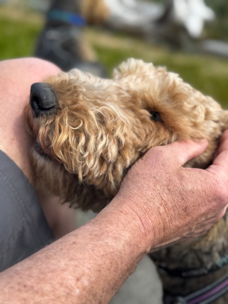
As we pulled back on the Highway 19, Junior sounded like he was tap dancing with all the rocks in his tires from the gravel roads. We shed them continuously to Campbell River, no doubt delighting everyone behind us.
Another lucky break at the Elk Falls campground secured us the last available spot for the night. As we sat in the sun, other campers slowly drove by trolling for openings and one even had the hutzpah to stop and tell us that it said online that our site was unoccupied-not sure what they expected from that, but we held our ground. Improving the American reputation, no doubt.
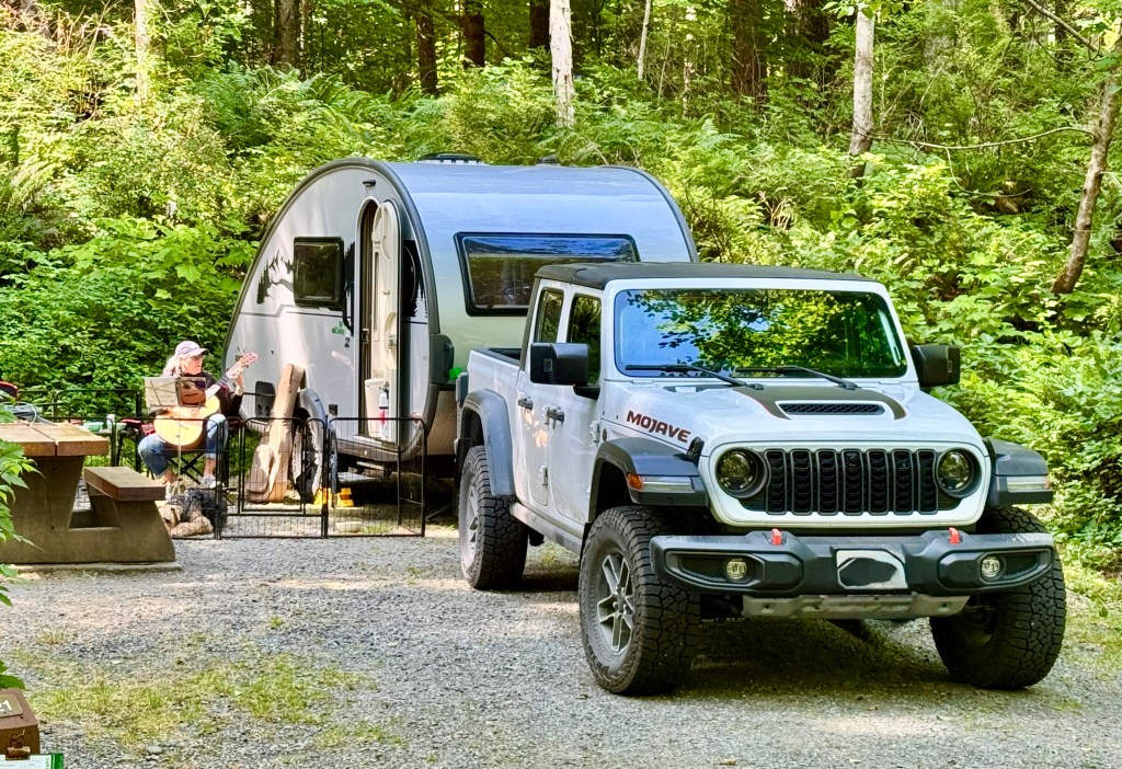
Despite being so close to Campbell River, we had very little cell coverage-enough to get an alert that the US had bombed Iran, but not enough to get any further details. Thus we found ourselves in the parking lot of a Canadian Tire, tuned to the BBC for much of the evening and feeling even more conspicuously American. On a positive note, Boo was well-behaved and didn’t further sully our reputation with nocturnal beeping.
A few more lovely walks through the woods and we hit the road for Cowichan Valley, one of the few places on the island we had yet to explore. We’d been to Cowichan Bay on a blustery fall day about 10 years ago in our sailboat, and spent a cozy time exploring antique stores, sipping tea and rocking at our moorage. At that time I remember someone telling me “If you like this, you should see the Cowichan Valley!”
We had reservations at Cowichan River campground, and we expected it to be akin to the well-marked sites we had been previously.
After forays down two very rutted dirt roads, where Phinn went ballistic on the locals out for a horseback ride and spooked us all, we finally found the campground on our third try.
The marine layer we drove into at Nanaimo hadn’t cleared, and our site, located in a very dense forest, looked dark and uninviting. Adding to the sinister impression, hooded twenty-somethings in sweatshirts skulked about the site with electrical devices, looking very much like the Canadian version of the unibomber, and our site was between two trees that required an epic driving job to reverse Boo through.
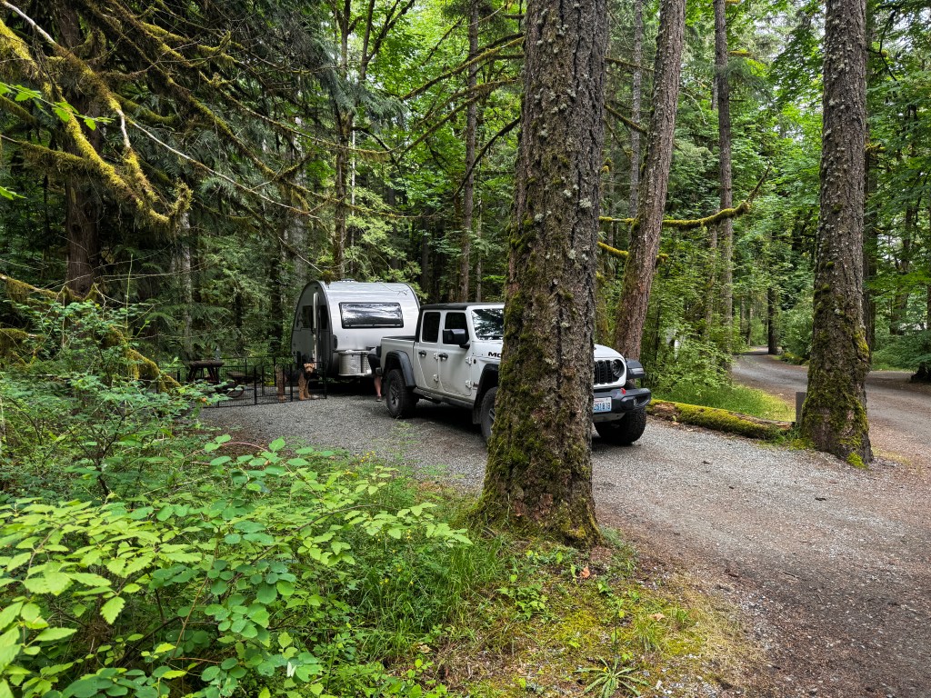
We left Boo in the gloom to plot her evening’s revenge, and went to Lake Cowichan. Perhaps it was the weather, but the town appeared downtrodden and uninviting. We visited the information center and got a recommendation for the “Trans-Canada Trail” through town, which looked much like any path through a neighborhood. Phoebe peered up at me asking why we were walking here, and I had no good answers for her, so we headed back to the deep forest.
The sun had come out at 7 pm on our return, the unibomber smiled and said “hello,” with the typical rounded Canadian “O’s,” and our other neighbor was running around his campsite with his solar panel, trying to follow the shifting two square feet of sun. Things began to look up. An after dinner walk along the Cowichan River was more to Phoebe’s liking, and we fell asleep to the sounds of a crackling fire and fellow campers’ laughter.

Boo behaved again overnight, perhaps just relieved we had not left her forever in the deep forest, and after a morning walk through the daisies we headed out for our final campground at French Beach, outside of Victoria.
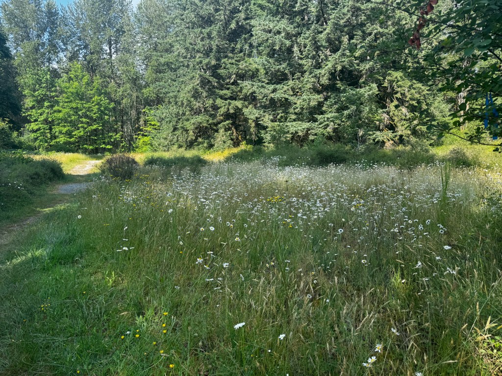
We had decided that we would go into Victoria, a town we both love, and walk around a little before heading out to Sooke and our campsite. Despite the heavy traffic we found a spot for Boo and Junior just outside of Beacon Hill Park and began walking the lovely side streets to the harbor. We passed charming cottages and pubs with the names of “Sticky Wicket” and “Bent Mast.”
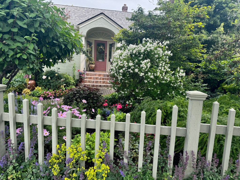
Only a few blocks in, our poor girl stumbled and fell, then began limping-a new development.
Our love for Phoebe will always trump our love for Victoria, and we returned to the car and took in the sights as we headed back to our campsite.
French Beach is a gorgeous spot just past Sooke on the Strait of Juan de Fuca, and we could see our Olympic mountains from the shore.

Phinn and I took selfies beachside while Phoebe and Erich napped in Boo, and we capped the evening with a wood-fired pizza at “Stoked,” a favorite from our last visit, and a stroll at sunset on French Beach. A perfect end to a wonderful trip-hopefully not Phoebe’s last, but if so it was fantastic.
Prone to Propaganda
June 20, 2025
After my epic sleep, I was not inclined to pack up and hit the road as we had originally panned. We have a lovely spot backing to a deep stream with views of the Broughtons, and eagles chitter overhead. The National Geographic M/V Roald Amundsen turns slowly at anchor across Discovery Channel in Alert Bay, no doubt stopping to see the U’mista Cultural Center and famous totems.
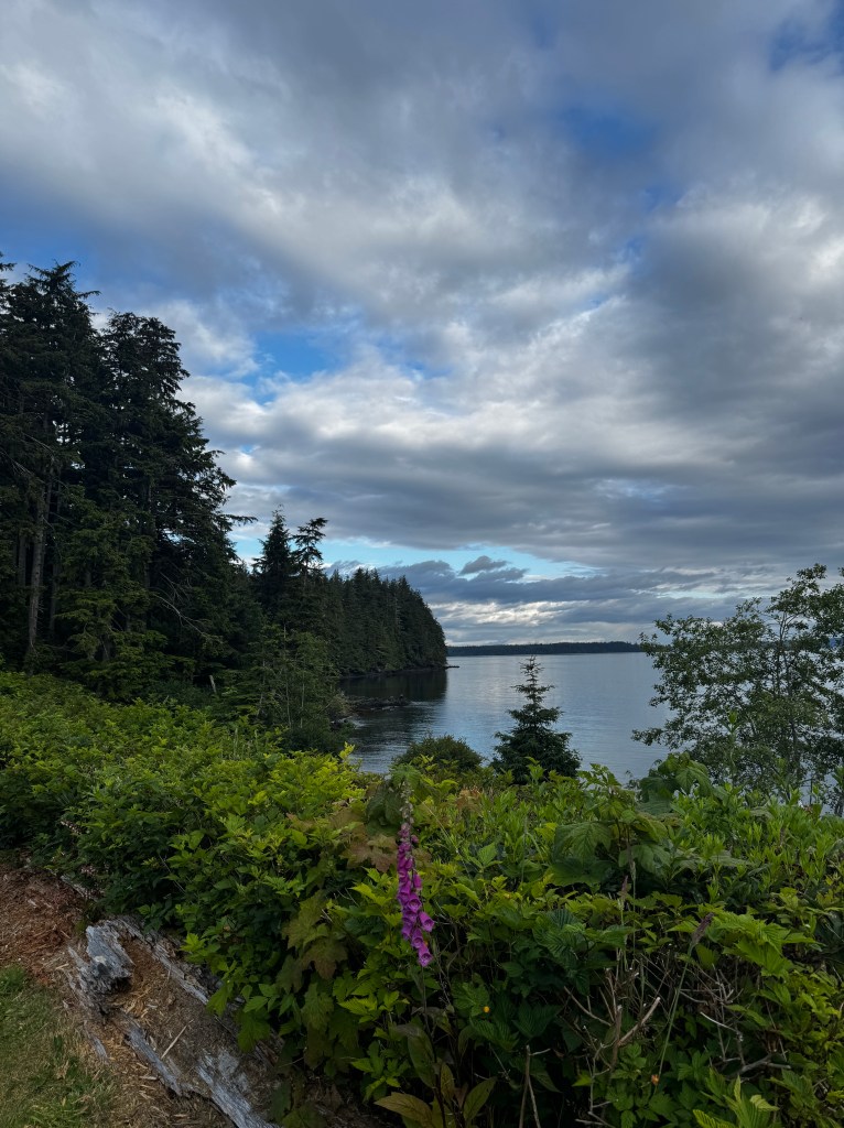
Phinn is particularly delighted with the empty pocket beach, and his forays have led to deep dermabrasion for us.
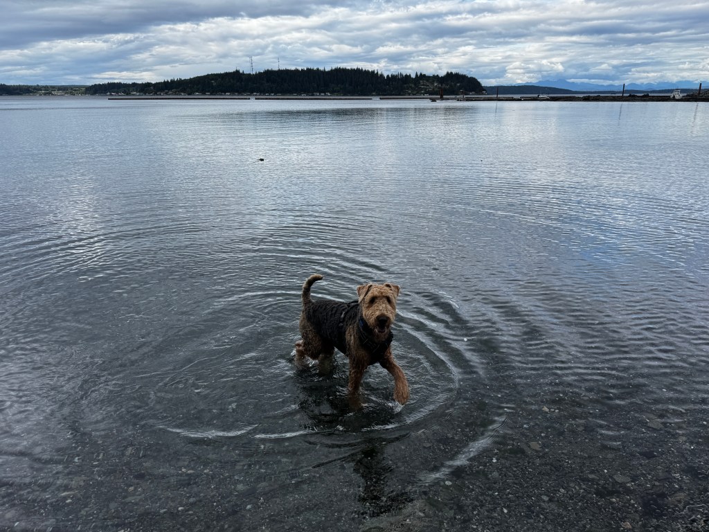
We decided to stay another day and visit Malcolm Island, which sits just across from Port McNeill and reached by a 25 minute ferry ride.
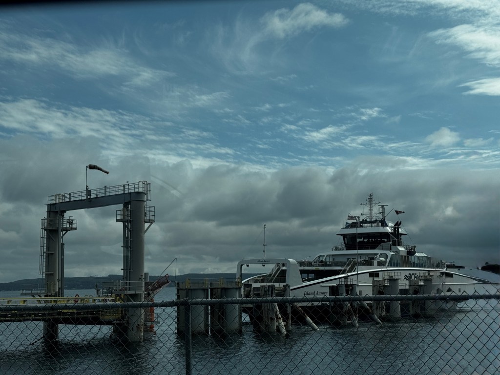
The morning was partially sunny-another inducement to stay as it was raining to the south, so we set out from Port McNeill in good spirits.

Armed with the “North Island Visitor’s Guide,” which described the charms of the island- a rustic anchorage; a beach where orca came to rub their skin free of barnacles; and a picturesque lighthouse- we were abuzz with excitement.
As we pulled to the dock, the small town of Sointula spread before us. From the water it looked as described, composed of wooden clapboard homes painted in white and red. A closer look revealed a slightly more dilapidated aspect.
Though there were some lovely historic homes, the majority were in poor repair. One poor boat, ironically named “Vigilant,” sat rotting under it’s collapsed boat house on the main drag. Though you could get a nice fixer-upper with an oceanside view for the assessed price of $510,000…or best offer.
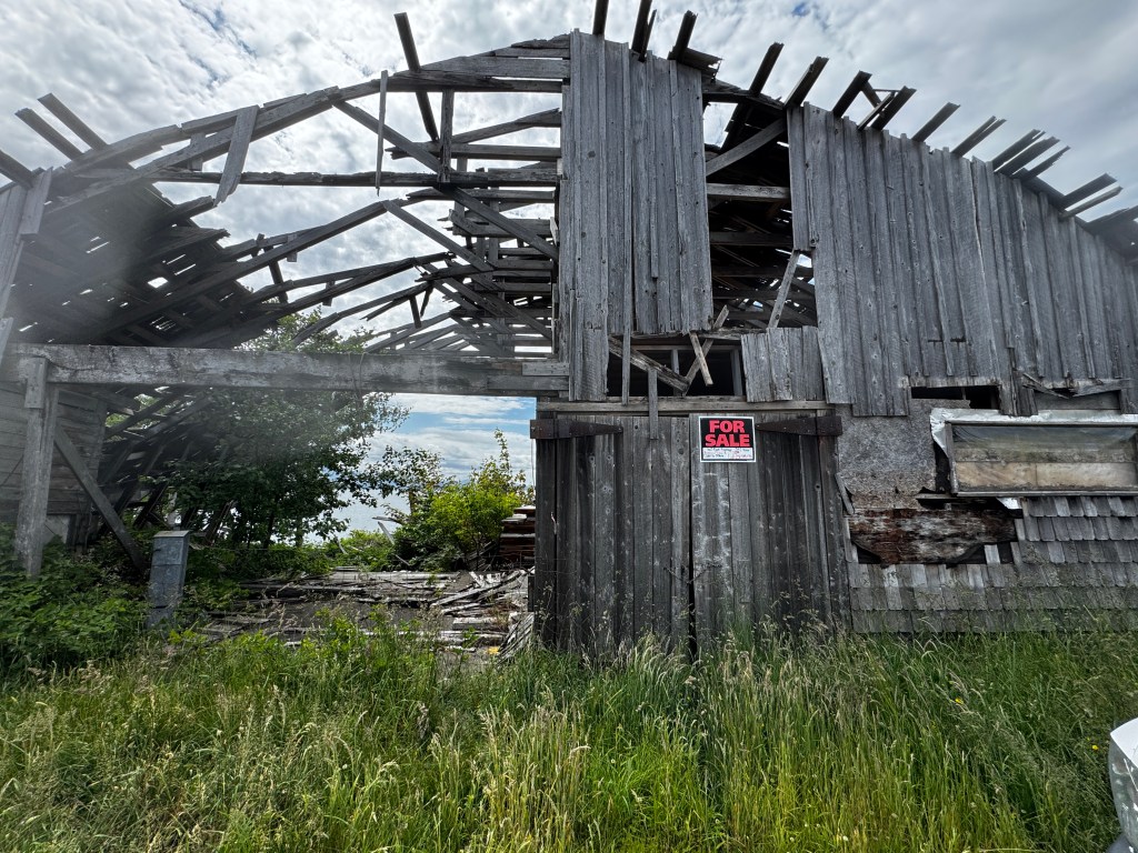
Leaving town, we headed for the rustic anchorage of Mitchell Bay. The paved street of town gave way to the now normal dirt logging road crowded by new growth vegetation after the forests have been clear cut. This was the main island highway.

A word about logging. I understand the need for wood products and certainly live in a wood framed structure myself, but to see how much of this island has been given over to logging and what the forests could be if left alone really gives one pause. It’s as if the entire island is a tree farm for logging companies.
I once again ponder my egocentric humanity.

Down from my moral high ground and back to Mitchell Bay, which is really a residential area with a solitary, photogenic warehouse. I can see this being a nice anchorage in the height of summer, but today there is only a single beached mini-tug amidst a pick-up-stix jumble of logs.
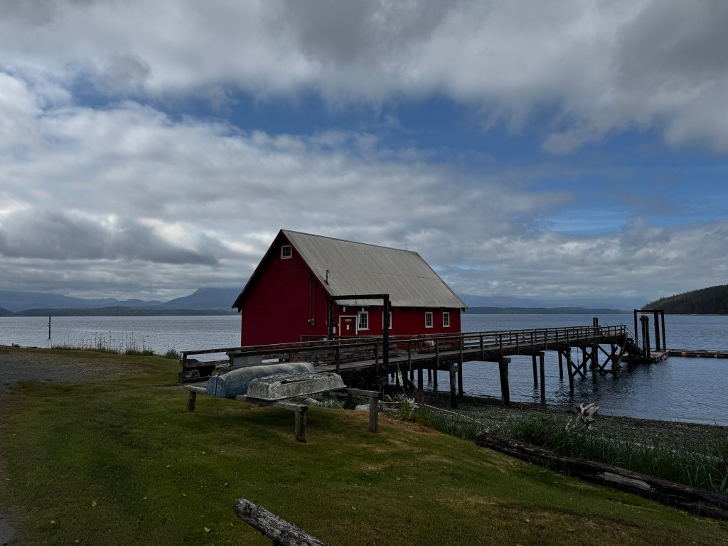
We are turned back on the main drag, hoping to salvage our trip with a lighthouse and orca. The lighthouse, when (almost) found on the opposite end of the island, was closed to the public and reached only by a trail on which no dogs were allowed. It was not visible from the road…
Crossing our fingers for orca, we hit Bede Beach, a very pretty and steep stone beach where, when the tide is in, orca come for their hot stone massage.
Today the tide was out, but it was a hit with the pups in any case-sticks aplenty and room to run.
A sole cormorant sat bobbing on a deadhead offshore, enjoying the afternoon sunshine.
We browsed the Sointula Co-Op, founded in 1909 and the longest continually operating co-op in British Columbia, had some amazing take out burgers, walked the waterfront and got a chuckle from Malcolm Island’s take on gender issues.
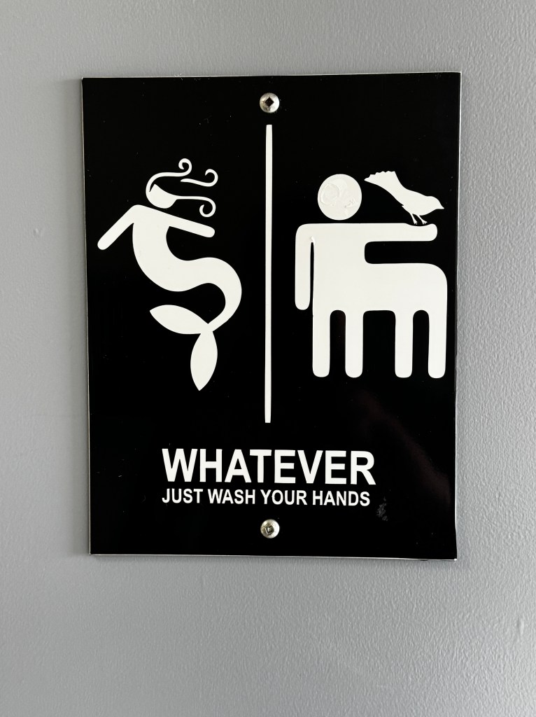
As we waited in line for the ferry back to Port McNeill, we gave props to the creative writing in the tourist brochure and hoped we would make it on the ferry, definitely more ready to head south tomorrow.
Pacific Wild
June 19, 2025
My boots squish and slap through red-hued mud on the trail to San Josef Bay. Old growth cedar and fir surround us, and the scent of those fallen fill the air as we wind our way through Cape Scott Provincial Park at the northwestern tip of Vancouver Island.
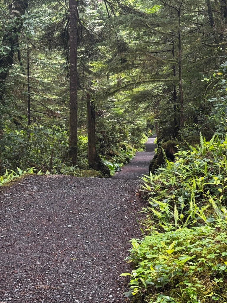
Ever since I first came to Vancouver Island in 1991 and read about this remarkable park, it’s been on my bucket list. Since that time, my bucket has runneth over with all I’ve been able to see and do, but this one had escaped me-until now.
We have come to the “North Island,” as it is called here, for the sole purpose of visiting this area. And good thing, as it did take an entire day. Happily, Phinn did most of the driving.
The park itself has no roads, only hiking trails and several packs of wolves.
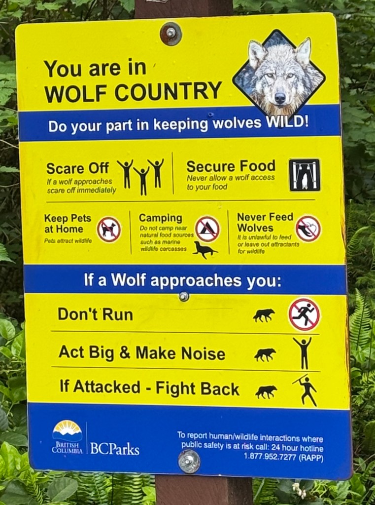
It is reached by a 65km dirt logging road that winds through active working sites and replanted forests, the famous “shoe tree,” and the very isolated hamlet of Holberg which has the distinction of once being the largest floating logging camp in the world, with upwards of 50 buildings. Today it’s a collection of ramshackle homes, a logging dormitory and the quite surprising “Scarlet Ibis.” But more of that later…
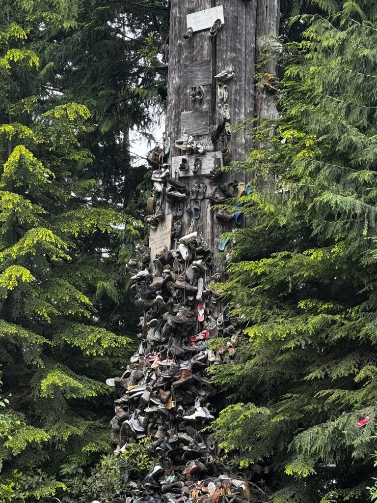
Past Holberg, the road narrows even more and the mists of the Pacific lace the hills and wrap Junior in a cool blanket.

We reached the trailhead to find a scattering of off road vehicles, and the requisite Corolla that we always seem to see at the end of a rough road. Phoebe was in good form, game for the 5.4 km round trip, and we set off down the broad trail, across wooden bridges and mud bogs.
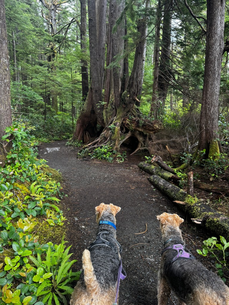
All manner of life grew out of every crack and crevice, and the air was palpably different-almost as if you could taste the extra oxygen.
Erich took the pups and let me emerge onto the broad, sandy beach dotted with haystack islands and brushed by the low tide. The sea looked demure today but the largest non-tsunami wave ever recorded was measured in this area-at an incredible height of 130 feet.
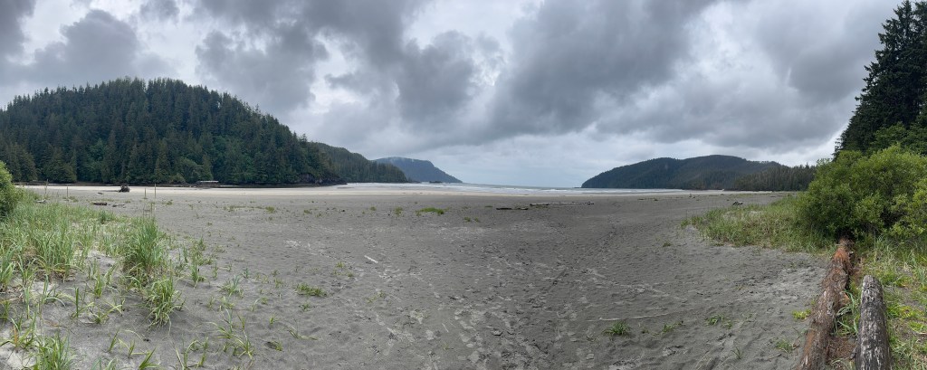
This was truly the most expansive and remote beach I’d ever walked, and with the exception of two human-shaped dots far to the north, we had it all to ourselves. Bliss.

Phoebe dug for clams, Phinn partook of his first live mussel, and we reveled in the quiet and solitude. Definitely worth the 30 year wait.
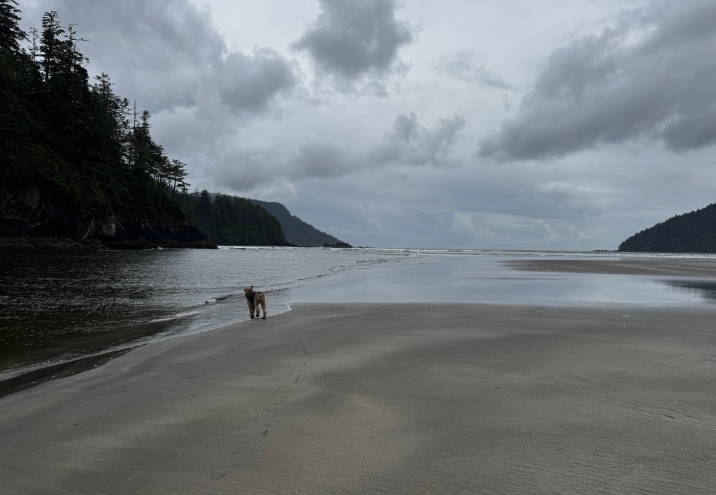
Back on the trail towards Junior, intriguing paths branched north. As poor Phoebe was already stumbling a bit following her beach excitement, this was not to be. Truth be told, I don’t think I could handle these rugged trails either-the North Coast Trail stretches 54km along the rim of the island and requires ropes and hand operated gondolas. Next lifetime…
We were all hungry and left the pups to enjoy their kibble while we ventured in to “The Scarlet Ibis,” billed as the most remote pub on Vancouver Island.
One could easily imagine the raucous nights in this, the only social outlet of lonely loggers for miles. A well-used bar and surprisingly clean scarlet shag carpet dominated the decor, otherwise comprised of acoustic tiles and wood carvings. The food and service were both wonderful, and we left with full bellies and warm feelings about this most remote of pubs.
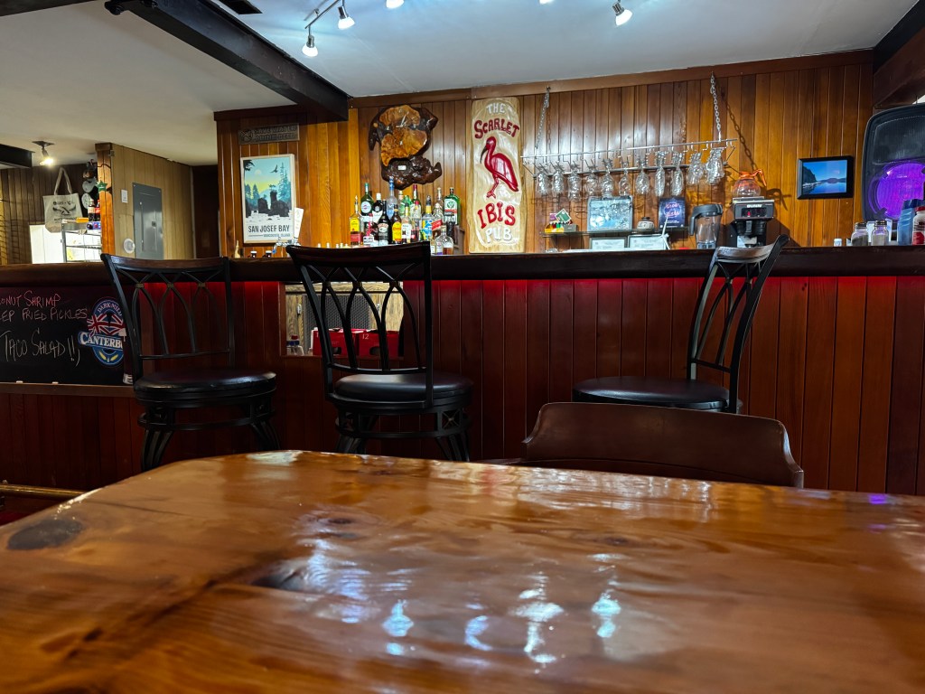
Back at Boo the rain pattered on the roof and I settled in for a nap around 4pm, which ended up lasting until 6 am the next day, dreams full of the beauty of the day and the idea that such wilderness still exists.
Boo Strikes Back
June 17-18, 2025
After two beautiful days at Ralph River, we were starting to feel comfortable that we had reached a truce with Boo and she had forgiven us for the punishing drive in.
On our last morning, we walked once more through the meadows of daisies and turned an a circle, taking in the view of the lake falling away to our north, and the horseshoe of snow-clad, craggy mountains around us. Back through the old growth forest, past impossibly large trees and a friendly park employee who was watering the unpaved roadway to keep the dust down. Only in Canada.
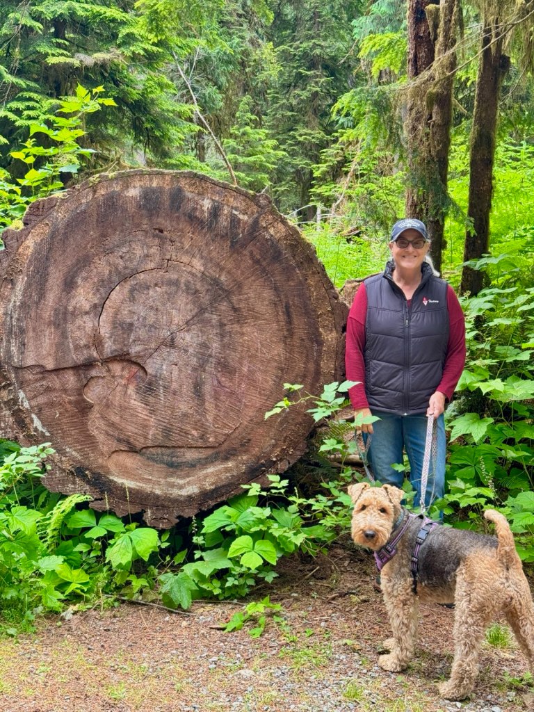
On the drive out, Boo shrieked again, but in the alpenglow of our stay it seemed less loud.
We talked of how this was likely our favorite campground-tons of privacy, old growth trees, stunning rivers and lakes, beautiful walks and friendly people. And no problems at all being off the grid this time.
Our next stop was Elk Falls, just outside of Campbell River. Set again in old growth forest along a salmon stream, it was another spectacular spot.
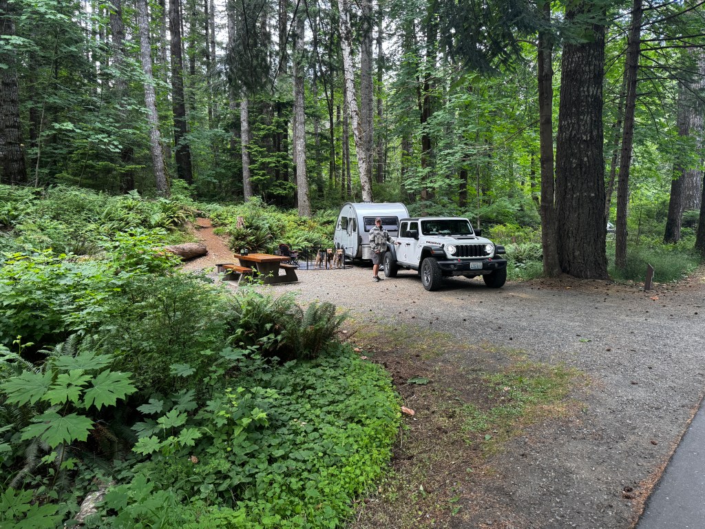
We walked to the falls, during which time Phinn broke his second gentle leader of the year to charge a well-behaved giant poodle, who regarded him like a different (obviously inferior) species and his sweet owners, whose only comment was “ah yes, just like an Airedale.” Luckily the falls were worth the embarrassment.

After a bizarre Mexican-ish dinner in town, prepared for us by a Sikh sporting a very shiny silver kirpan, we went for an evening stroll on the “Beaver Pond” trail at camp. No beaver or ponds were encountered, but the walk through the forest was like something out of a fairy tale. Every shade of green enfolded us, and the trail was laced by thousands of the smallest white flowers, the size and frothiness of baby’s breath and the shape of daisies. The sun came out, transforming the path into the aisle of an airy cathedral alight with green stained glass. Magic.
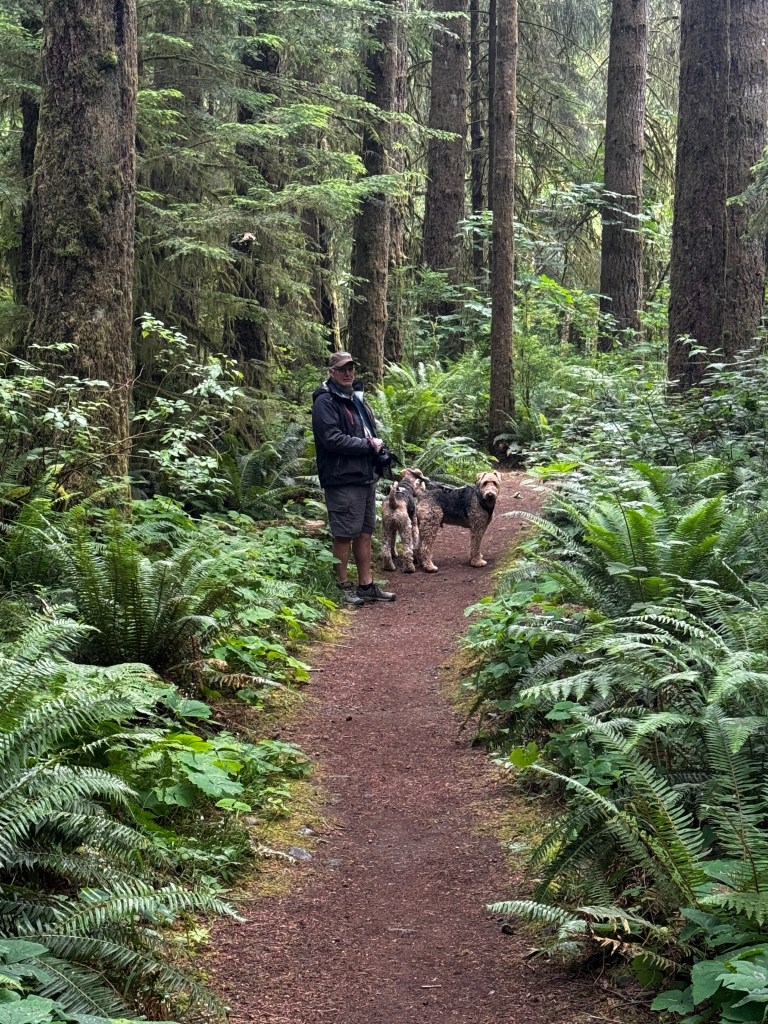
Back at camp, Boo had clearly been brooding. The fan on the converter ran off and on, which it had no business doing as there was no work for it to do since we weren’t on AC. The lights flickered, the radio turned on and off and our batteries, fully charged that morning, were low despite no drain of our creation. As it was late, we decided to turn off everything and go to sleep, though sleep was elusive with the fits and starts of the fan.
In the morning, the refrigerator was warm and we sprinted to get ice to keep our food from going bad. Luckily, we had a long drive to North Vancouver Island to recharge the batteries, and decided to deal with it at out next camp, where we had electricity.
Just outside of Campbell River, Discover Passage stretches beguilingly to the north and Island Highway 19 becomes much more rural.

Trees press in from the sides and vanish in the distance in layers of fog. A very Alaska feel.
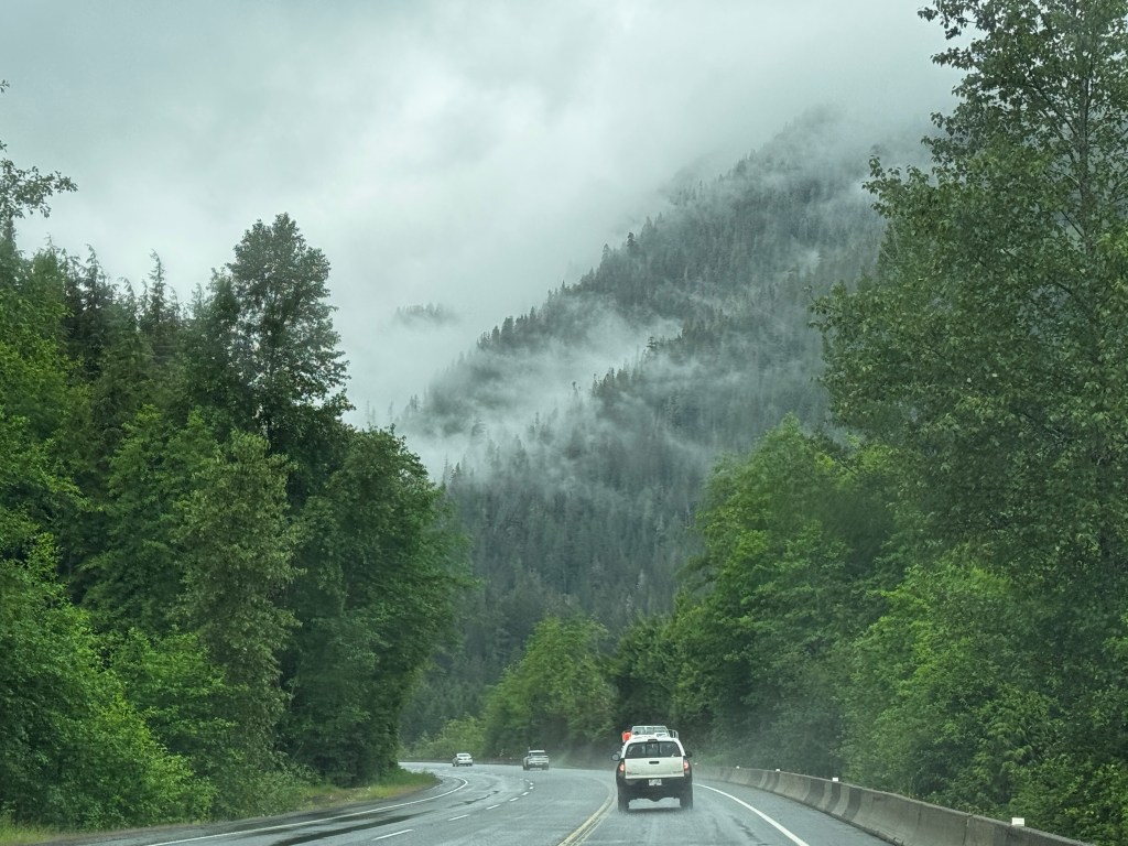
We pulled into Port McNeill in a heavy rain, which did little for the appeal of this industrial port town. After a spectacular warm breakfast, we headed to out campsite on Alder Bay. All systems seemed on-line and functioning normally, but Boo seems to have a penchant for waiting until nightfall…

Setting up on the farthest site available to contain our once-again feral pup, we sat and listened to the fog horns of the BC ferries transiting to the dozens of small islands in the Broughton Archipelago. Just across from us sits Alert Bay, home of the amazing U’mista Cultural Center where thousands of recovered potlatch artifacts are beautifully displayed in a replicated long house. Down the road, a native graveyard full of weathered totem poles stand eternal guard.
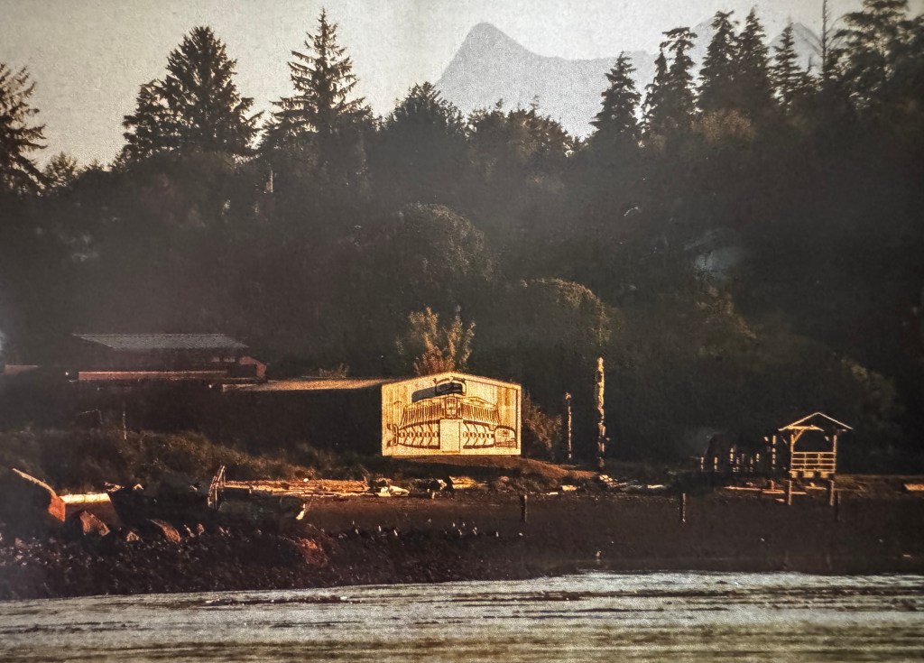
Just northeast is the island of Malcom, where Finns who rowed north from Nanaimo in the early 1900s sought to establish a utopian society at Sointula. Some say they failed, but Sointula lives on.
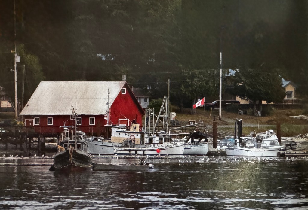
After a rest, we set out for Telegraph Cover, just 12 km south of us. We both remembered this as a charming former sawmill town turned eco-tourism center, with wooden boardwalks and buildings from the early 1900s. Last time we were here it was bubbling with colorful flowers and full of visitors, partaking of the kayak/bear/whale/hiking/fishing excursions that originate here.
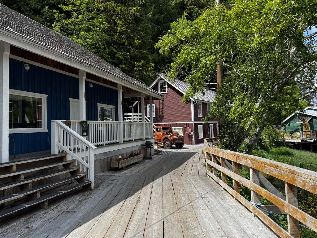
This time it was quite different, and not only due to the on again/off again rain. A large portion of the main boardwalk and buildings had burned about a year ago, and per the caretaker were being fixed extremely slowly. Very little was open, and what remained was guarded by a terrier of Phinn’s disposition. The old wooden homes are still for rent, including one that was fished from the sea by an enterprising scavenger after it was swept from a barge during a storm. Interesting history, but… A tour bus of Norwegians roamed the boardwalks that remained, as confused as we were as to what there was to do here.
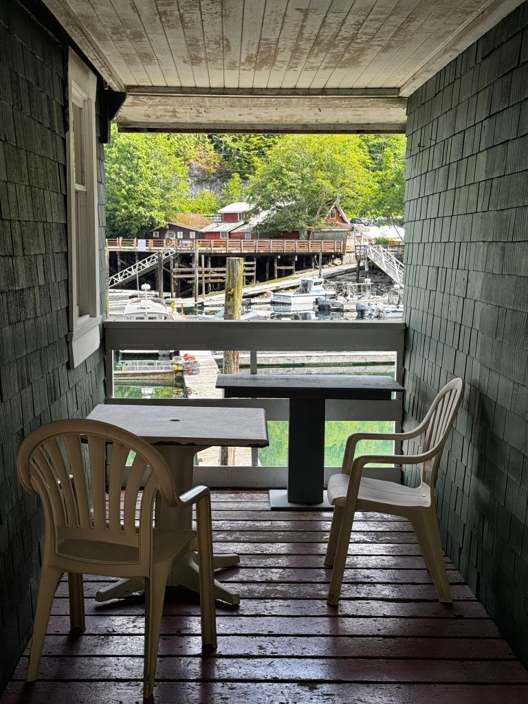
And with that, we returned to camp and await whatever new surprises Boo has in store for us this evening.
Strathcona.
June 15-16, 2025
I sit sipping coffee at the banks of a translucent turquoise stream, watching trout play in the shallows. We are camped at the most beautiful spot by Ralph River in Strathcona Provincial Park, set in the center of Vancouver Island. In a freak stroke of luck, we got a site in this old growth forest of cedar and fir with a private path leading to the river.
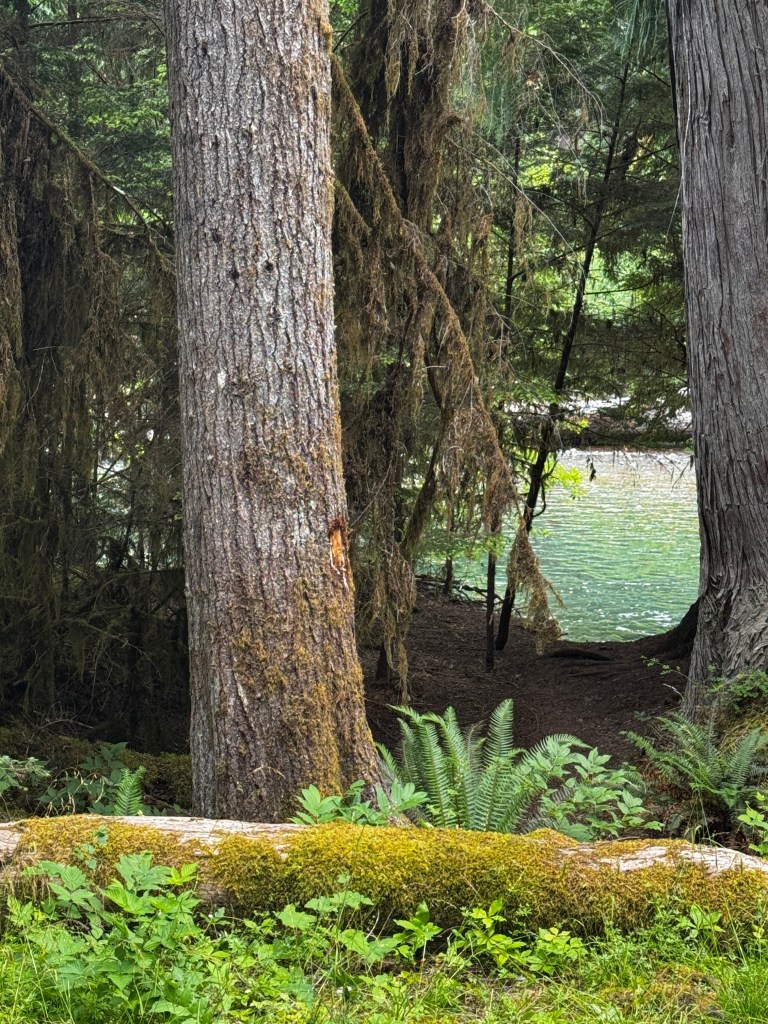
A cliff at the land’s edge means the river drops about 6 feet down mere inches from where my feet stand on gnarled roots, and I peer into the depths as if through air, watching the fish. A sight Impossible to capture on camera or in words.
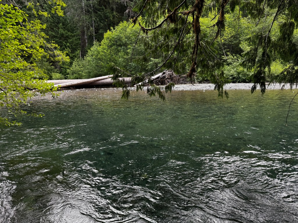
We left Saratoga Beach yesterday in hazy sun after a beautiful stroll on the shore. The tide was outgoing and sluiced over channels inset with rocks, sibilant and flecked with golden light. Brandon called to wish Erich a happy father’s day, and I marvel that we can have a conversation on the edge of the wild.
Our drive to Strathcona winds between lakes with snow capped peaks in the distance, and we turn down the bumpy two lane road that follows the shores of Buttle Lake to our campground. Boo screams as we navigate what look like frost heaves, and I can almost hear her saying that we promised not to take her back to Alaska and threaten to deploy the carbon monoxide detector again.
After settling into our spectacular site, we spent a lazy afternoon reading and playing guitar (me) and editing photos (Erich). Phinn has reverted to form and we’ve been trying to keep a close eye on him as the deep peace in this place is easily disrupted. But at least we know he is capable of keeping things together, and maybe we will overwhelming him with dog-ness on return. He stares at me as I write this, and the vexed look on his face makes me wonder if he knows I’m speaking of him yet again.
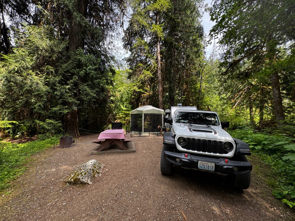
After dinner in our gloriously bug-free tent, we took our customary evening drive searching for wildlife on back roads. Up one twisting dirt path we came upon the tender sight of a nursing newborn fawn that could barely walk. We turned and left them to their moment.
Another short dirt road took us to the trailhead for Myra Falls, a must-see according to my Canadian dog park friends. As the signage said it was only 1 km, we had three hours of daylight left at 6:30pm, and Phoebe said she thought she could make the trip, we headed down. And down. The falls were as spectacular as billed, with only a few people hanging about at the end of the day. Dogs roamed about off-leash, making negotiating slippery rocks with a leashed Phinn a bit of a challenge. He would definitely pitch himself over the edge if given freedom!
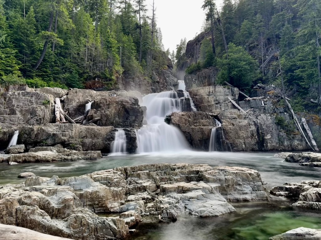
On our way back to the trailhead, Phoebe’s hind end collapsed several times. Our poor girl will be 11 in a few months, and despite arthritis meds and hundreds in vet bills, we have yet to figure this out. We resolve to try again when we return, though she seems non-plussed by the events and still pulls at her leash.

Our car was the only one left at the trailhead, but a truck pulled in as we were leaving. We recognized a couple about our age camped across from us, and as they got out of the truck the woman said “I want to give you a hug and welcome you to Canada! We are so sorry about what’s going on in your country…” We discussed the incivility and strife in the US, and they reassured us that, despite a brief period of similar unrest in 2021, this is not the case in today’s Canada. What a joy it would be to live in a strife-free society, where expressing your opinion didn’t run the risk of getting you killed.
After a blissful night’s sleep to the soundtrack of the river, we spent a lazy morning at camp drifting in and our of sleep and walking the pups through daisy-filled meadows.
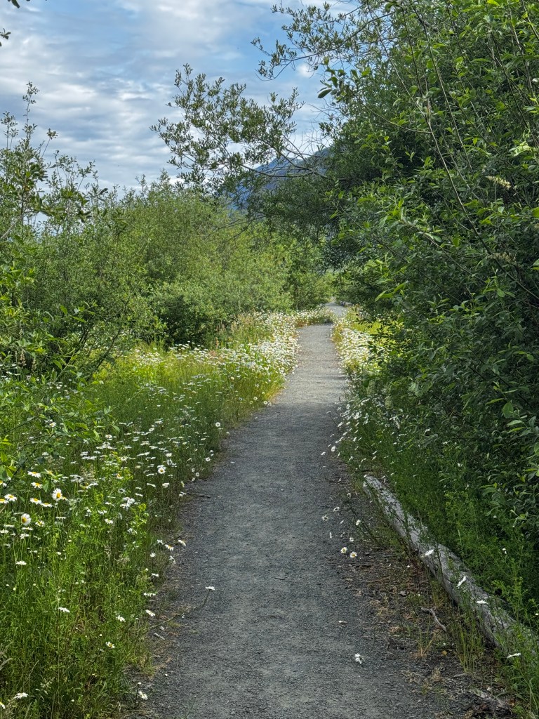
Our camp sits on the south shore of Buttle Lake, that runs 25 miles N-S, so we had a stunning view towards the north.
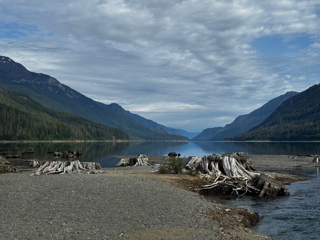
We finally got going mid morning, and took the same trail we turned back on last night to give the deer pieta space. This time we happened upon a mom and two fawns, though these were older and they quickly bounded into the woods, allowing us to continue high into the hills.
At trail’s end we were completely alone at an alpine lake, surrounded by snowy peaks.

In the distance a helicopter flew, and we waved. Possibly thinking we needed help, the helicopter headed our way and soon was skimming the water of the lake towards us like something out of a James Bond movie. It landed near us, sat briefly, then took off as abruptly as it arrived. We remain perplexed. One of the many mysteries of beautiful Strathcona.

Best in Show
June 13-14, 2025
Phinn is surprising us, and for the first time in a good way!
We left our beautiful campsite in Englishman Falls in a light rain and made our way north on Highway 19. We were staying the next few nights at a RV park on Saratoga Beach as all Provincial Parks were booked solid.
RV Parks are not our favorite, mainly because of the lack of privacy and what that means with our excitable hound. As we pulled into the park we noted several disconcerting things: first, our site was located at the front of the park where everyone had to pass to access the store and the beach; second, it was sandwiched in a very tight spot that made for tricky deployment of the mosquito tent and Phinny’s fence; and third, and most distressingly, the Vancouver Island dog community had gathered this weekend at the park for their annual dog show.
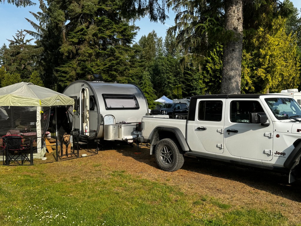
The vibe was definitely “Best in Show,” with grooming tables deployed and very serious dog owners looking askance at our ill-behaved pup. It was actually sad, in a way, as some of the dogs spent all their time on grooming tables, and I never once saw them playing on the beach.

And the beach was lovely! Set right on the Strait of Georgia, with expansive sand and all manner of delectable smells, or so Phoebe told me. Dogs played off leash and I met a group of friendly Canadians at a pop up dog park on my afternoon walk with Phinn. We chatted about the state of Canada-US relations (iffy, but they still love Americans in general) and the very sorry state of medical care in Canada (no primary care doctors and waiting lists 600 people long in most communities) while Phinn frolicked. Confirming my impression, they asked if he was in the dog show, and my emphatic “not a chance!” triggered laughter and the comment that “of course, he wouldn’t be playing on the beach if he was…”

Be it the beach romps, or the sheer overwhelming number of dogs around him, Phinn behaved better than we ever could have expected. He still occasionally lunged and barked, but overall it wasn’t the disaster we were expecting. While Phoebe, our refined girl, will always be my best in show, Phinn was definitely a runner up!
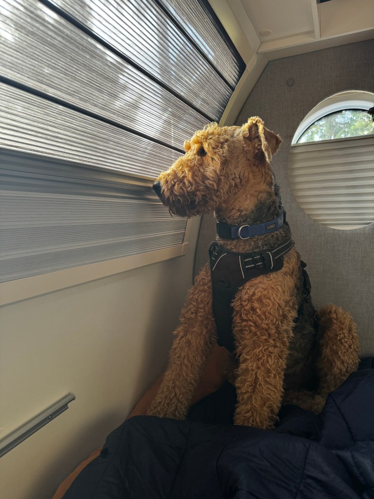
In between anxious dog encounters, we explored the area around Campbell River. When we were here in the past, it seemed a bit past it’s prime, and I mainly remembered having to pay to rent a shopping cart at the grocery store as so many were being stolen. Not so this time.
The downtown sits across from Quadra Island and is anchored by the BC Ferry terminal. It’s surrounded by vibrant local shops, restaurants and art galleries, which itself is surrounded by a stunning 28km trail that takes one from the Salish Sea to beaver ponds. We walked the pups on the Tyee spit at the outflow of Campbell River and watched the float planes come and go as sailboats plied the sound.

After a twilight beach walk and a dessert of ice cream (RV parks do have their perks) we slept wonderfully-no CO sensors to be heard.
In the morning, Erich awoke with a plan. We would go inland to Morton Lake. I, of course, had never heard of it and I was a bit skeptical of the initial road.
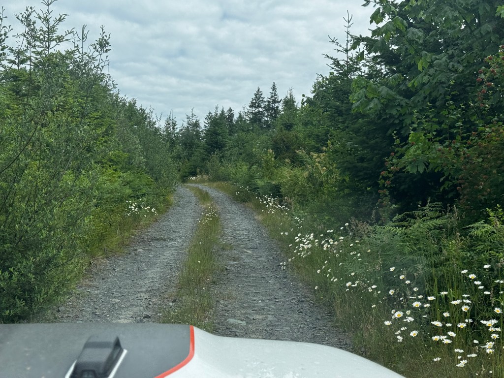
Once we found our way, we passed beautiful meadows and came upon the smallest fawn in spots we had ever seen, running down the road with it’s mom in a frenzied tangle of long legs.
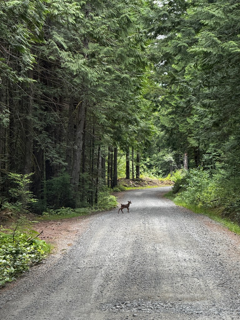
Morton Lake itself was sublime-a true Canadian Lake with loons calling in the distance and a map for back-country canoe journeys. We wandered a dog-friendly path by the lake and the pups chased sticks and drank to their heart’s delight. We were the only people for miles, and falling in love with Vancouver Island, RV parks and all.
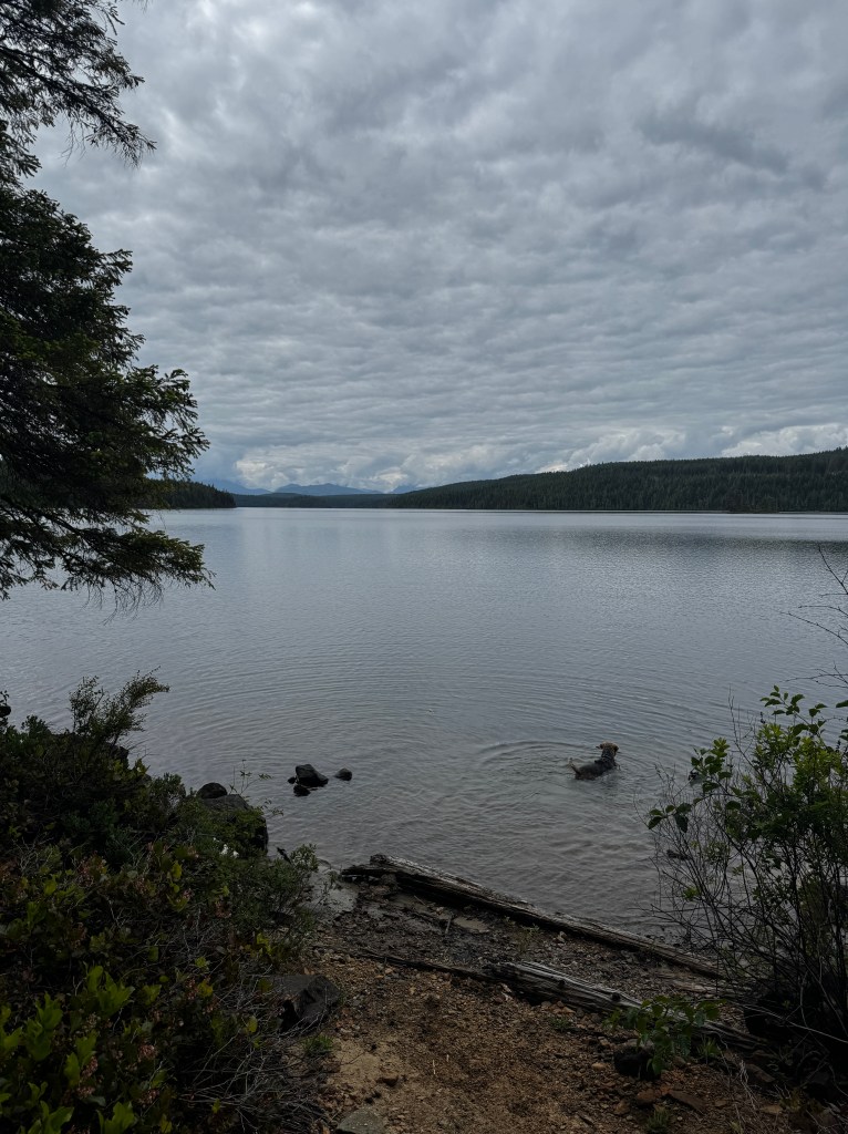
Twists and Turns
June 12, 2025
I’m awake in pre-dawn listening to Phoebe snore softly and the birds chirp to life because Boo is trying to kill us. Or perhaps she is going for an early retirement? I can’t blame her on that one…
For the past two nights, at the darkest hour when we are in deepest sleep, she has roused us all to life with a beeping carbon monoxide detector. The first night, my flailing and verbal excoriations were enough to silence the alarm, but panicked dogs and pounding hearts made sleep elusive. Given it’s June and we have windows cracked, the fan on and we are not using propane, we figured our tight packing job may have hindered air flow to the unit. We ensured a full battery and removed all obstructions last night, to no avail. This time it didn’t respond to my mania, and I had to physically shut it off.
After an hour of querying AI and the owner’s manual, I’m no closer to a solution and certainly not going to take the advice of “not silencing the alarm and immediately evacuating and notifying the authorities.” I think we would be murdered by our fellow campers. I did discover that CO detectors do not respond to methane, after casting blame on a sheepish Phoebe, so at least I learned something!
Ah well, mysteries for the day to come should I live to see it. At least I would go out with wonderful memories of yesterday.
After extra caffeine, we set out for a drive to Tofino, the heart of West Vancouver Island. I’m always struck anew by how rugged and enormous this island is-very few roads go west, and those that do are rough two lane affairs that wind through several mountain passes and require “snow tires from October through April.”
Logging was, and to a certain extent still is, the main industry in these areas. Patches of clear cut scrape the hillsides, so it was nice to make our first stop at Cathedral Grove, a preserved area of old growth forest in the heart of the island.
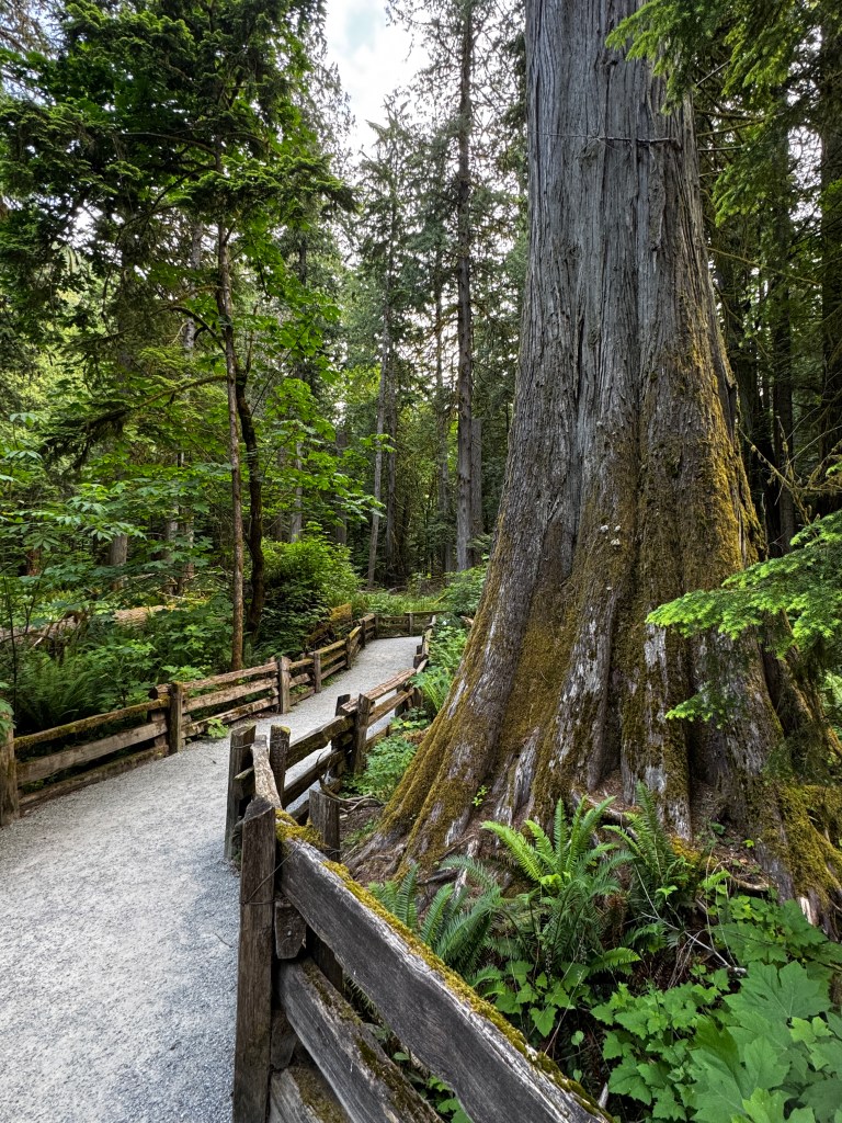
A beautiful boardwalk took us on a loop through the trees, where we marveled again at the sheer size of cedar and fir in the wild. Legend has it that there is a cedar on an island off Tofino that is 2,000 years old and has a circumference of almost 18 meters.
Even in this preserved area, there is evidence of past logging. Toe holds cut into stumps remind us of the fate on many of these trees, and people have left offerings of flowers and cairns within them. I understand the sentiment, and struggle again with being human.
We wind past beautiful alpine lakes, and along crystalline rivers. The rugged, shifting landscape has resulted in a patched and sloughing road that all creatures rely on for transit. A young deer in velvet trotted beside us for a moment, and a very annoyed black bear tried several times to walk on the road before resigning to cars and trundling back into the forest.
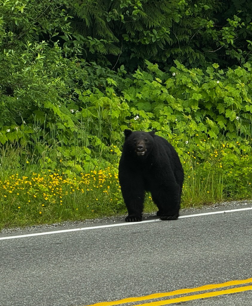
In Port Alberni we took a break to walk the quay and think about history. The town sits at the end of a narrow deep water fjord connecting it to the Pacific, and was important in the fishing and logging industries. Years ago, I read a wonderful account of the Lady Rose, a ferry that operated out of Port Alberni beginning in 1939. She shuttled passengers and cargo through Barkley Sound and to remote logging camps on the West Coast, and retired in the early 2000s. Vivid in my memory are the stories of taciturn winter caretakers at logging camps-a silent breed by nature-uttering not a word on the ride to camp in the fall and talking non-stop on the return spring voyage after a very solitary season, and stormy nights on the sliver of water that is Alberni Sound, sandwiched between dark, forested hillsides, the only thing alight for miles.
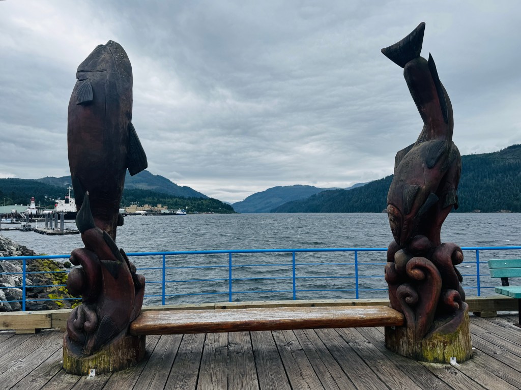
Up and down another set of mountains, and we find ourselves on the shores of the Pacific and miles of sandy beaches stretching to a rocky fist of land at the northern tip and the town of Tofino.
Phoebe loves a good beach, and refused to stop whining until we took her for a walk to get some sand in her paws.
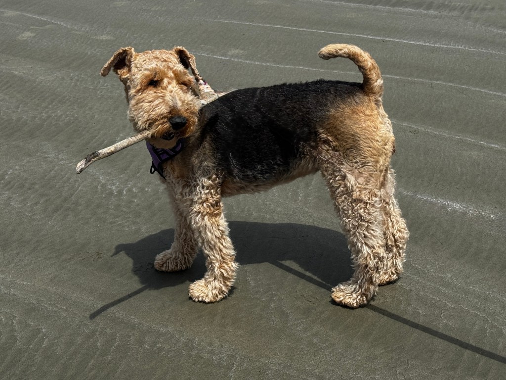
The sun came out just as we arrived and we wandered down the expansive stretch of Long Beach, enjoying the dozens of surfers bobbing in the waves.
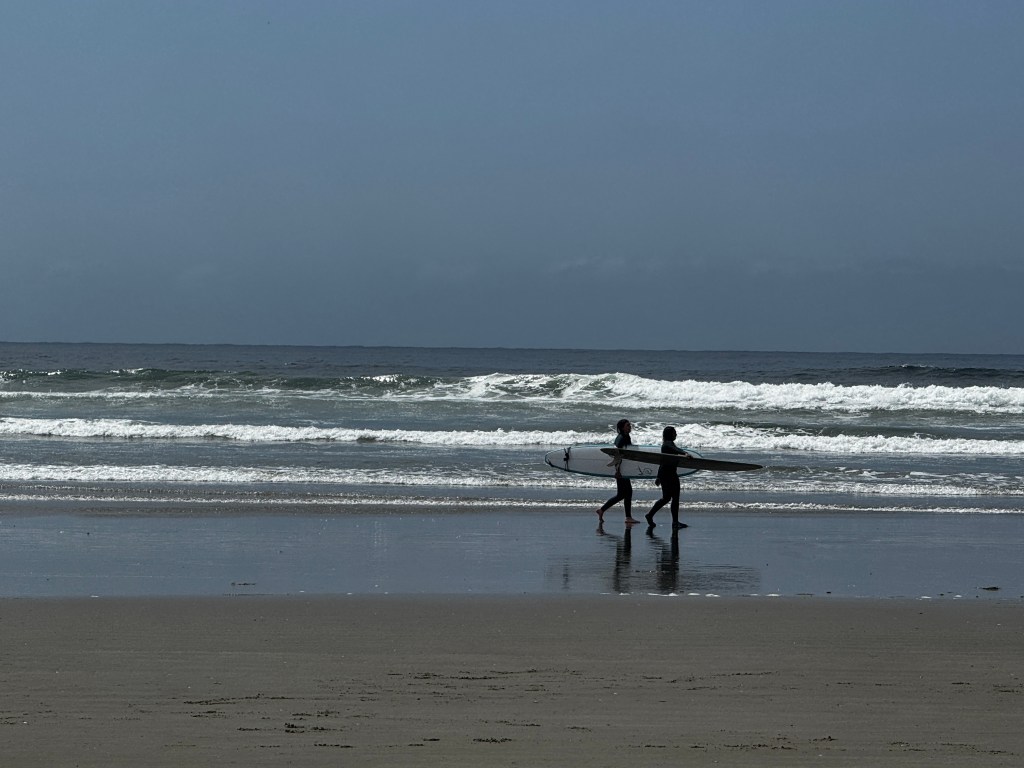
Apres beach, we drove to Tofino proper for a meal of fish and chips at Big Daddy’s on the main drag, and wandered the small town, a mostly tourist affair. Gift shops and high-end resorts dominate the landscape, and it’s difficult to reach the shore without being a guest or on a charter of some sort. The view, when you can find it, is spectacular-a sprawl of islands vanishing in hues of blue to the horizon.
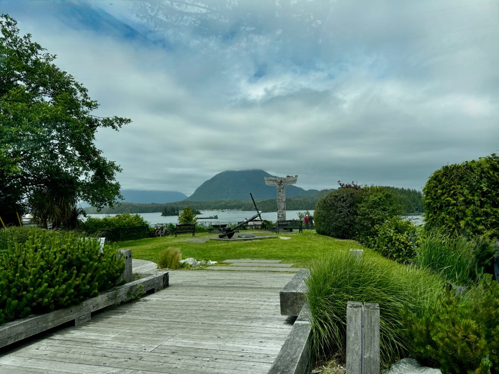
And suddenly we were all full-full of the beauty of nature, the sound of the waves and the sinuous roads to both. We turned around and headed for camp, where we arrived 65 miles and four hours later, a tired but sated foursome.
A Golden Day
June 11, 2025
The 5 am sun slices molten through the low hanging fog and ducks trail chevrons across Hood Canal as we drive north to Port Angeles.

It’s our first day of our camping trip to Vancouver Island, and we’re bound for the Black Ball Ferry. This takes us, the pups and Boo across the Strait of Juan de Fuca to Victoria, and we head north from there.
Our last trip here was just after Bertie passed. We were all struggling and made a sedate threesome, soaking in long summer days and dining in rustic floating cabins.
This time will no doubt prove different, as Phinn has already ingratiated himself with his maniacal barking in the ferry holding area. Nothing will be sedate about this journey!
We drive beneath the Canadian, US and Black Ball Ferry flags, lifting in the morning breeze, as we board and wonder what kind of a reception we will receive in the “51st state.”
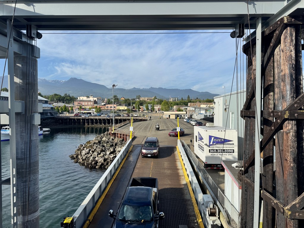
Last time we were here, Erich was detained by Canadian Customs upon arrival and we spent several anxious hours answering all manner of firearms questions: “Did you bring a gun? Do you own a gun? Have you ever shot a gun? Have you seen a gun?”
Turns out his profile was flagged for being denied entry in the past for what was categorized as a firearms violation, but was in fact a lab-related COVID test timing issue. The customs officials were very apologetic and said they removed the “flag ,” but we were still slightly anxious.
Leaving Phinn below on the car deck with apologies to the well-behaved Phoebe, we made our way to the bright, enclosed observation deck and secured a seat in the filtered sun. Pulling out of the shelter of the Port Angeles Harbor, we were hit broadside by slow, deep rollers that rocked us gently. How many miles across the Pacific did they travel?

Erich got up and explored the ferry, returning from the gift shop with a “Tyranny” pocket guide-a bold choice to stock amongst the Pacific Northwest souvenirs. I had to see what this was about, so I left my seat for maybe 5 minutes, at which time humpback whales made their appearance for Erich, who only stayed put for a few minutes to save my seat. They had vanished when I returned.
It’s always amazing to watch the docking of this enormous ferry in the small inner harbor of Victoria, and this time we watched from the large opening in the car deck-flawless, as always. We were first off and cleared customs in 15 seconds, the word “firearm” mentioned only once, and then into the bedazzled sun of Victoria. Flower baskets hung from every light pole, tourists posed for pictures in front of the Empress Hotel, and a huge Canadian flag festooned the Parliament buildings.
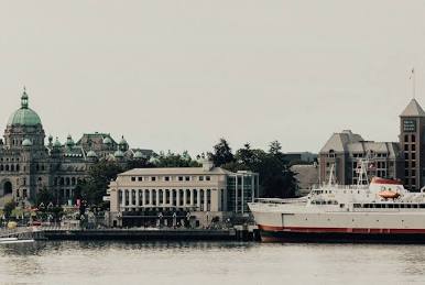
This turned out to be a theme-Canadian flags everywhere, and many businesses sporting “Proudly Canadian Owned and Operated.” No doubt a response to American overstep, though not all messages were quite so subtle.
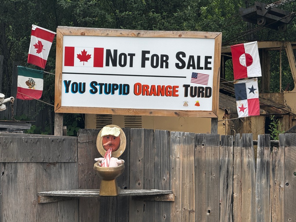
Fifteen minutes out of Victoria Trans-Canada Highway 1 narrows to a two land affair beside a bucolic creek, and soon opens to incredible views of steep-walled Saanich Inlet, where forest and water dance in and out of each other’s arms.
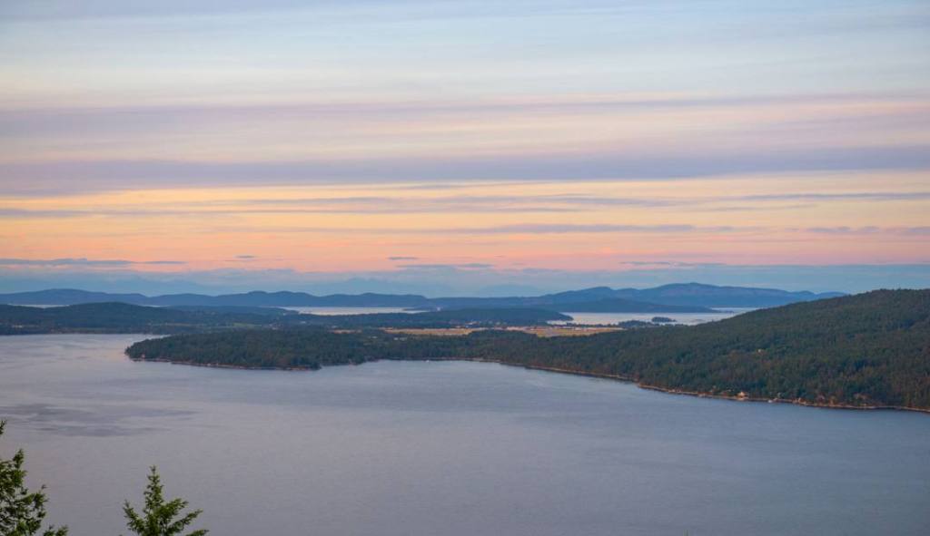
Off the piney ridge, we descend into the fertile Cowichan Valley, dotted with foxglove and daisies. Just outside of Nanaimo, we head inland to Englishmen Falls Provincial Park and our stunning campsite amidst cedar and spruce with the sound of the falls in the background.

A gorgeous two mile walk takes you past both sets of falls and a heavenly looking aquamarine swimming hole.
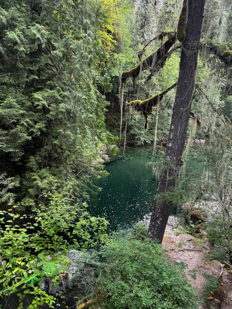
The late afternoon sun picks out the forest hues like an expert stage hand, and birdsong and rushing water complete the mood.
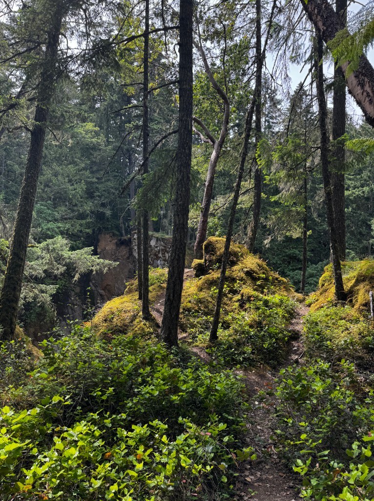
As I sit in our mosquito tent in the twilight, both dogs quietly chewing bones at my feet, I think this day is truly what is meant by “the Golden Years.”

A Wild Dream
May 18-19, 2025
Wind-driven waves march down Agate Pass and a half moon hangs in the sky. Sailboats fight the waves as they make their way back to port, and we think we recognize familiar craft-is that you, Dreki?
Firmly ashore, I’m challenged to get our last experiences down before they, too, blow away.
Our last day in the Tetons is fading already-could that be just two days ago?
The day began with a last visit to the swim beach. The Tetons were bathed in early morning sunlight and laced with wisps of fog. We sat on a weathered log and breathed deeply, enjoying the sounds of the waves lapping the shore and the light wind playing in the trees.
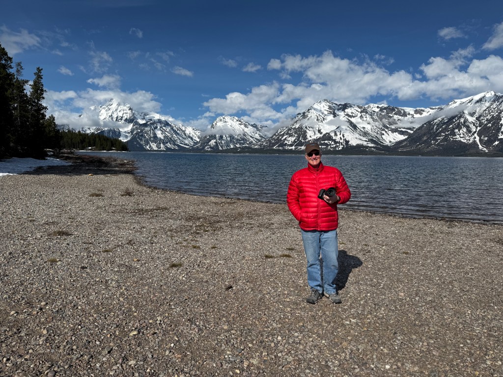
Back at camp, we began the day of celebrations for Erich and Dean’s birthdays with a tasty German Chocolate brownie cake. Murphy and Jenkins, our friends’ two fabulous pups, joined in the singing with barks and howls of their own, confusing the local pine Martin.

The sun gave way to showers, and we spent the morning in the beautiful visitor’s center, amazed at the weight of moose antlers and the softness of bobcat fur. A break in the weather allowed us to visit the site of historic Menor’s Ferry, a spot on the Snake river where an enterprising, but apparently surly, settler ran a shuttle service and mercantile in the late 1800s.
The weathered buildings remain, including a plein aire outhouse draining directly to the river.

A replica of the ferry sits in the meadow, ready to be trod out for the visitors whenever summer comes to this mercurial valley. And on cue, thunderheads build and we are driven back to the car with the first raindrops.
After a long and bear-less drive back to camp for rain shells, we returned to Taggart Lake as the sun broke through, illuminating a teenage cow moose who thoroughly enjoyed her star moment.
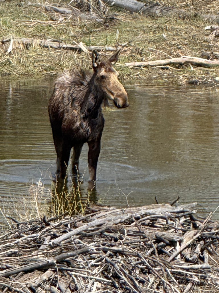
Back in Jackson, the rain stuttered and put a damper on the antler auction. As we exited out car, a young woman struggled through the sodden parking lot with three lovely moose antlers. We asked if she had just purchased them and she said “No-want to buy one?” And so, I am the proud owner of a rich, mahogany moose antler.
We browsed Jackson, darting in and out of the rain, and dared step foot in Kemo-Sabe, the high end western store where the only thing we could potentially afford was a dog collar, and even that was $100.
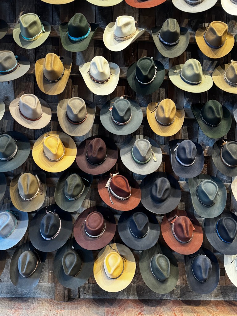
In the main square, the other antler sales folk were packing up for the day. I ruminated and finally purchased an elk antler, and Sarabeth haggled a deal on a large moose antler. Our dinner reservations were in a few minutes, and we didn’t want to lug our antlers into a fancy steakhouse, so we headed back to the car. As we did, a thunderstorm broke overhead, and we must have looked interesting running through the streets of Jackson holding antlers over our heads.
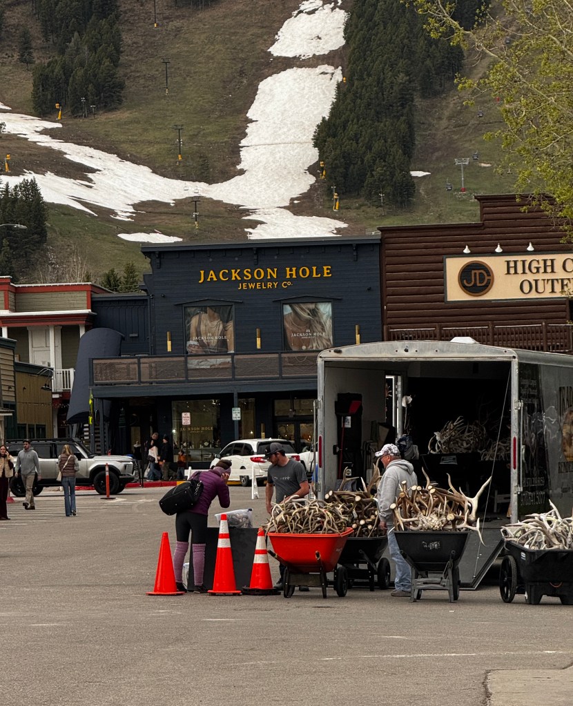
Erich had smartly awaited our return at an art gallery, and was warm, dry and oh-so handsome in his new (thrift store) western shirt.

A quick note on my man: I feel so grateful to have shared so many years together, and to be able to continue our adventures as we are. I couldn’t ask for a better companion in this life-Happiest of birthdays my love!
We had a wonderful dinner chatting away about our travels and want-to-be adventures, and we are just delighted that our Mesa friends Sarabeth and Dean will soon be our Tucson friends, as they are moving this fall.
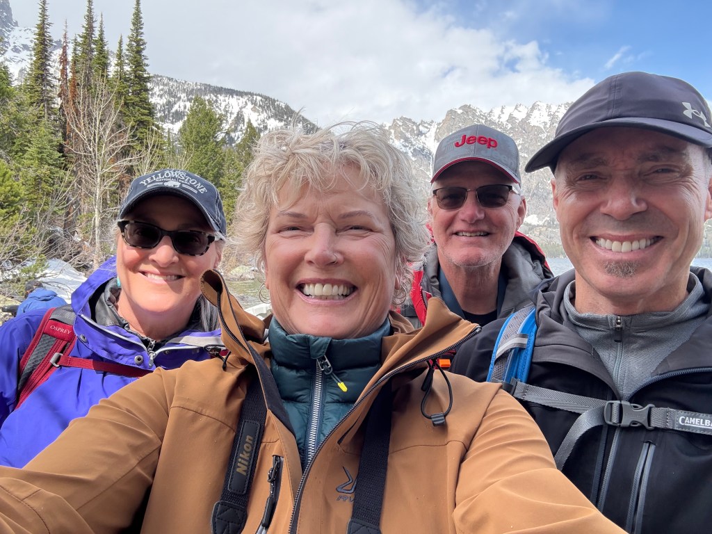
On our way back to camp, our last drive through the park, we mused that this was our first bear-free day. On cue, a black bear ambled through the sage at the tree line. A perfect good-bye.
We left at the crack of dawn, sneaking out trying not to wake our friends. Fog hung over Yellowstone as we wound through the park, and the world was hushed and still.
The snow had melted some, and the Lewis River roared deep in the canyon to our east.
We made good time, with the exception of a few traffic jams.
Near the gates of West Yellowstone, a herd of bison cows and their newborn calves trotted by, the youngsters full of pep and delighted to be alive. They reminded me of Phinn, making me miss him more.
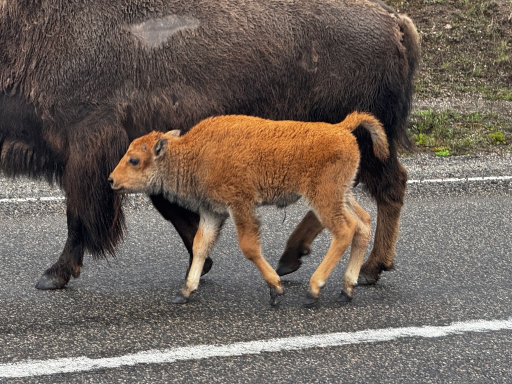
We were planning on spending two nights in Wallace, Idaho, and old silver-mining town in the panhandle with a historic downtown.
As it turned out, most things were still closed (silver mining tour, bordello museum, the Coeur d’Alene walking and bike trail) so we took a sunny walk around town, enjoyed our campsite beside a rushing stream, and headed home the next day.

Reunited with our pups, all is back to “normal,” though I hope never to forget our wonderful time in the wilderness.

Mountain Worship
May 17, 2025
Today brings both Erich and Dean’s birthdays, and we have a special dinner and Cowboy Days (with the intriguing scout “Antler Auction”) in Jackson slated for celebration, but I’m still soaking in the beauty of yesterday.
Our day started with the joyful sighting of mamma bear and cub, grazing just east of our campground. We think it’s a good choice for mom to hang around where wildlife management can protect her and her remaining cub, so kudos to her bear smarts.

A rangy coyote crossed the road in front of us and vanished into the willow flats just outside of Signal Mountain, and our signature young male elk hung about the Chapel of the Sacred Heart on the shores of Jackson Lake.
Like most things, the church was not open yet, but we were told to get a glimpse if possible. Built in the 1930s, it’s classic National Park construction-hewn lodgepole glowing with the warm golden-honey tone that nothing artificial can replicate. Facing the lake is a round stained glass window with an anatomically correct Mexican folk-art influenced sacred heart at the center, gleaming in a kaleidoscope of mauve, plum, indigo and gold. We peeked through the windows and mused if you can’t find the essence of God in this special place and in this landscape, you will find it nowhere.
And as if to emphasize that point, our next stop was Jenny Lake. Named after a Shoshone woman who aided the Hayden expedition in the 1800s, the lake sits at the very base of the mountains. A 10 minute boat ride takes you across the lake to trailheads leading to Hidden Falls, Inspiration Point and the craggy wilderness beyond.
Winter has not yet released it’s grip on the mountains, and we clambered over patches of slushy snow to reach Hidden Falls, following a stream roaring with snowmelt.

The falls were lovely, and we sat and took them in with an 82 year old veteran who was joining his two twenty-something granddaughters on the hike. That served as my Inspiration Point, while Dean continued solo up the granite rock face to the actual spot.
Erich and I stopped on the way down, staking out a boulder in the rushing waters, and reveled in the beauty and majesty of the place.

After another hearty bowl of chili and a afternoon nap, we set out to replicate our safari of yesterday. The first stop was at the site of last evening’s moose sighting, where as we walked up and down the banks above the willow bog on our hunt, moose ran behind us on the road. We turned around to find cars stopped and see fresh moose prints in the mud, but no moose. I’m sure this is an amusing game teenage moose play with the tourists…
We threaded through our back road of last evening, which was lush and lovely with newly leafed aspen and pine forming a canopy overhead. We mused that if we were animals we would hang about this lovely spot, a chapel of the wild. But alas, no parishioners this night.
We wound past open meadows and spectacular homes, through Jackson and back into the park. And there in the twilight our safari began. Elk dotted the sage plains, white bottoms sharp against the olive green. A black bear scurried quickly behind deadfall, and our well-known young elk stood facing us on the road, his budding antlers mimicking those of a moose in the low light and giving us a rush of excitement. But the piece de resistance was a cow moose dining happily amidst the willows, her enormous, soft muzzle pointed skyward in what looked like moose heaven. Amen.
Safari
May 16, 2025
My heart is full this morning-the remaining cub was reunited with it’s mom. Of course, that means an angry and hungry male grizzly is still hanging about the vicinity of the campground, but you can’t have everything.
Awaiting cub news, we spent yesterday on a car safari to Yellowstone. Dean is a wonderful driver and Erich and I felt like royalty in the back seat, legs stretched and sipping water as the beautiful scenery unfolded.

Yellowstone is significantly higher in elevation and remains shrouded in snow, though around the thermal vents the grasses are green and that seems to be where the animals congregate.

We stopped at the Mud Volcano en route to Hayden Meadow and were slapped with sulphur as soon as we opened the doors. The mud boiled thick and sloppy in the main vent, and sizzled like water in a skillet near the sides. At Dragon’s Mouth the steam came in bursts of hissing and splattering, admixed with the dragon’s native tongue.
Walking the wooden boardwalk that stretched over the ponds, a knot of silver flashed in the sunlight to our left. Down the path leading to the boardwalk lumbered an enormous grizzly, perhaps 200 yards distant. It’s fur shimmered with hints of yellow and violet as it foraged in the lush grass. We had read that male grizzly can reach 800 pounds, and this fellow looked like a contender for the heavyweight title.

In Hayden meadow, socially distant bull bison grazed the golden hills, with an occasional young elk pushing it’s luck near the edge.
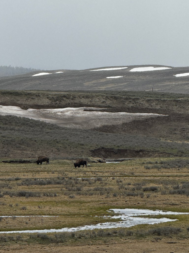
As we turned for home, the snow began to fall. We curled cozy and content in our capsule, racing through the snowstorm like astronauts in hyperspace.
Back at camp, we dined on a perfect, warming chili and headed out again to see if twilight brought any more activity. Our first encounter was with several wildlife photographers returning to their cars who gave us the happy news about the cub reuniting with it’s mom.
At twilight, the park seems to belong to the elk. They were everywhere, in every meadow and even right along the roadway, challenging us to disrupt their perfect graze.

We were on the hunt for a male moose, and headed down a lightly traveled road in the southern end of the park that soon turned to dirt and mud, leading us closer to the mountains. The omnipresent elk scampered in front of us, and trees to either side showed signs of bear predation but despite wonderful, boggy conditions no moose were seen.

On the road home we stopped for sunset pictures, and there, 50 yards from the parking lot, sat a male moose. He chose his spot well, crouched behind willows in a gently flowing stream. Good photos were impossible, but we could hear him chew and watch those massive antlers move as he lazed about in the gloaming. A perfect end to a perfect day.
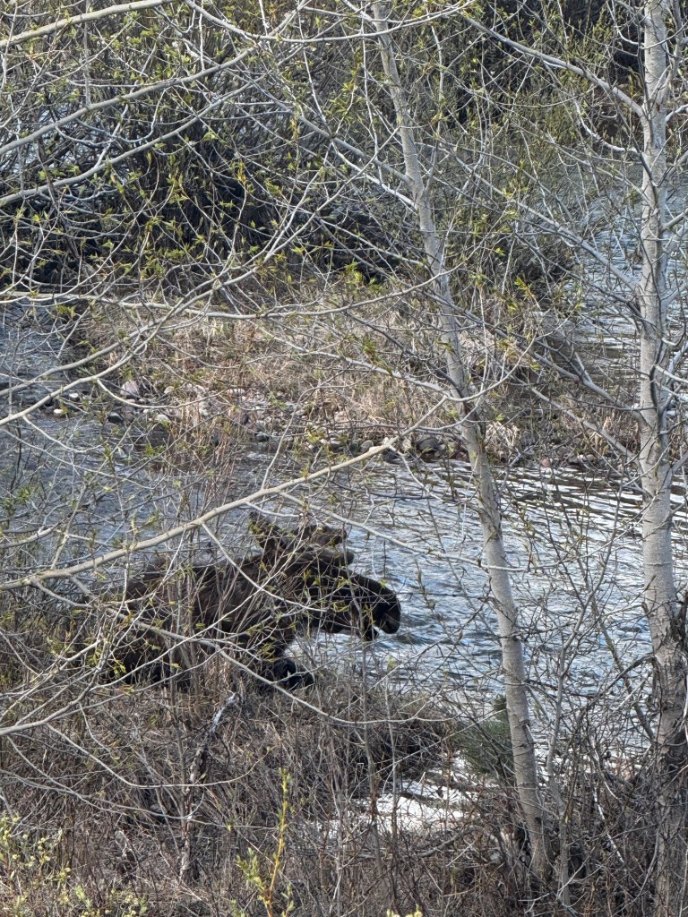
Natural Grief
May 15, 2025
The natural world has me up at 4:30 am.
After a series of moves that would make a Yogi proud, I managed to extricate myself without waking Erich, a notoriously light sleeper, from our bed in the back of Boo. Anyone who has ever seen Boo would realize what a feat this is.
For the last hour prior to my gymnastics, I’ve been looking out our stargazer window, listening to the heavy spring rain play on the roof and searching for bear, wondering if they feel grief and trying to reconcile my romanticized idea of nature with it’s more harsh reality.
The day began innocently enough, with a drive down the western fork of the park road, an amazing cheese danish, and a very close encounter with a black bear.
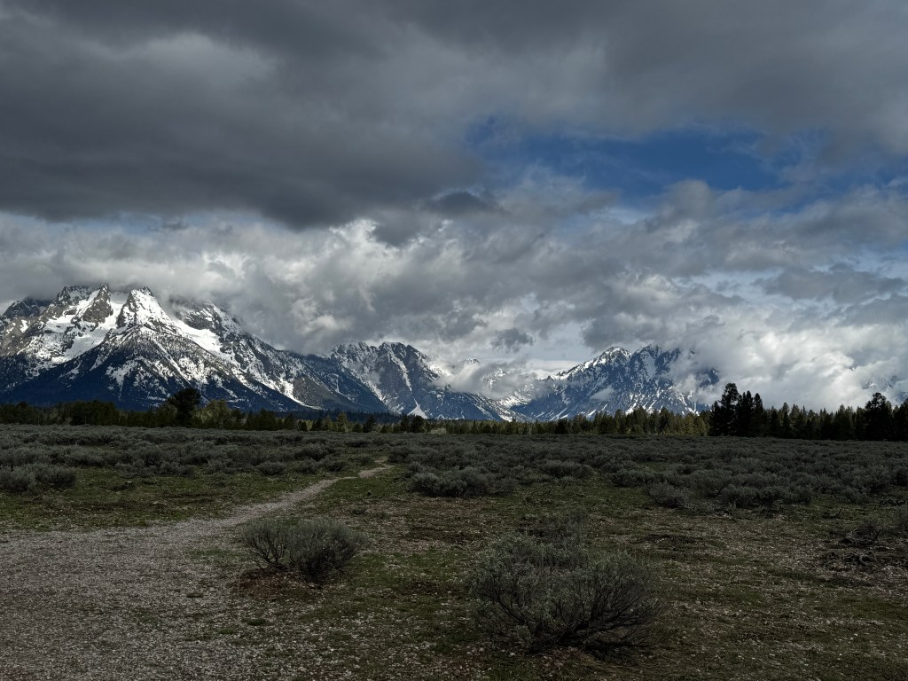
Still chewing the scrumptious danish, we came upon the telltale knot of cars parked by the roadside. Binoculars and iphone in hand, we made out way to the humans gathered at the lip of a ridge. I was reminded of our trip to Africa when we spotted our first lion-someone in our land cruiser exclaimed “lion!” I pulled out my binoculars, scanning the horizon, and was gently told to remove my binoculars and look beside the car. There sat a lion, about 10 feet away.
As we crested the rise, a medium-sized black bear grazed downslope, not 30 feet away.

Erich and I looked at one another, took a single blurry photo, and turned and left. Way too close for the comfort of either species!
As the day brought rain, we decided to check out the National Museum of Wildlife Art in Jackson.
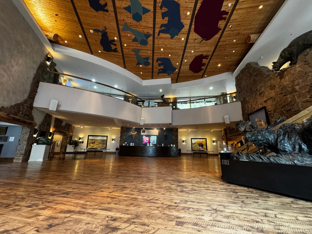
Sitting on a ridge just north of town and hewn from local stone, the museum is a lovely stop. As we waited for Sarabeth and Dean, we wandered the sculpture garden outside and came across “Buffalo Mountain,” a piece by artist Stewart Steinhauer who grew up in Alberta on the Cree Indian Reserve.
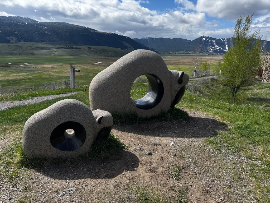
The piece refers to on ancient Cree story explaining the disappearance of the great herds. When the last buffalo were seeking shelter from man’s slaughter, a spiritual being known as “Rock Grandfather” opened a special passageway through the mountains leading to an alternate dimension. There, suspended in the past, the buffalo wait for their safe return.
We wandered through the galleries and marveled at the ability of artists to catch light and form on canvas and endured a rude woman speaking loudly on her phone with her doctor’s office for a good 10 minutes in the middle of a sublime display, glancing irritatedly at Erich when he had the audacity to queue up the audio for a display.

At the Palette Cafe, I had the best grilled cheese sandwich of my life-inspired by French onion soup-and we ruminated over the sad news of the day.
The afternoon prior, when we had our stunning view of the mamma grizzly, we all commented that something appeared wrong. We didn’t see her three cubs, and she kept looking back over her shoulder. Turns out, two of her cubs were killed and the third is missing following a male grizzly attack.
Sadly, only 50% of cubs survive to maturity, and it is part of the nature of the species that the males, seeking either to mate with the mamma bear or protect it’s territory from future threat, often kill the cubs.
Intellectually, I understand the cycle of life, but emotionally I reel. Perhaps it was watching those playful cubs just days before, or seeing the mom, alone, just after the attack and realizing something was amiss. Whatever the cause, both human and bear grieve together in the wee hours of this rainy morning.
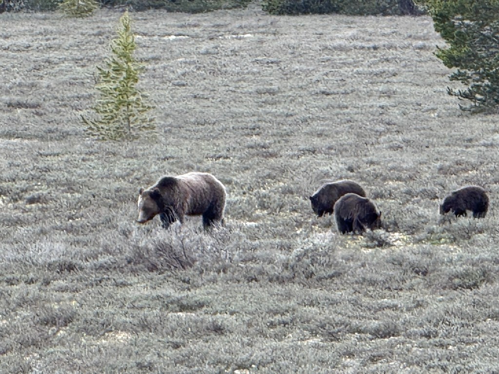
Where Bears Are Rock Stars
May 14, 2025
From the first words spoken to us when we arrived at the Tetons, to daily conversations and sometimes the last thing I think about at night, bears are omnipresent.
We have been lucky enough to be here early in the season when they are just emerging from hibernation and in search of food. The back bears have remained elusive, hanging back in the forests, but the grizzly have been center stage.
The rain moved in yesterday morning, and moody clouds played about the peaks as we walked Mormon Row and Cunningham Cabin.

I’m always astounded by the tenacity of the early settlers, living in drafty wood cabins far from anywhere and pummeled by the harsh weather. But then, the view!
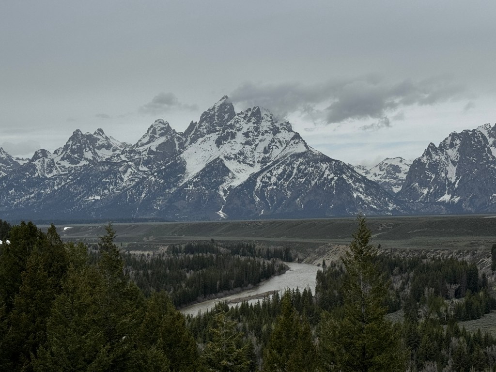
Few tourists were out and about on this blustery day, but those that were will remain etched in my mind. A couple in cowboy hats taking pictures in front of the iconic Mormon barn.
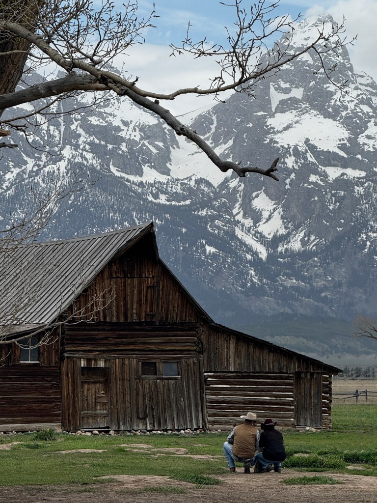
And a French tourist, newly outfitted in Jackson with a hat, but still in his Euro sneakers, taking in the view.

After soaking in the scene, we wandered up the Gros Ventre River in search of moose and found a cow and a yearling grazing peacefully. Remembering how protective mother moose are, we stayed far away, but nonetheless were watched carefully by mom. “It must be a tough job to be a mother moose,” Erich commented as we drove away. Agreed. Despite being several hundred yards away and (hopefully) respectful, she didn’t take her eyes from us. I can’t imagine what the height of tourist season will bring.
The rain fell lightly as we made our way back to Signal Mountain, the sole restaurant venue open in the park. We dined on elk chili and cornbread in a cozy bar, the perfect fare for the day, and made our way back to camp for the main show.
The main show being bear.
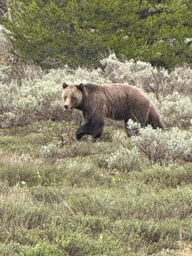
I had no idea how common grizzly were in the Tetons. Last October, Bear 399 was killed by a motorist at the age of 28. She was iconic in the park, having birthed between 18 and 22 cubs, and been featured in multiple photos and a documentary. Jackson as a whole mourned her death, and tributes were set up all over the valley. She was cremated and her ashes scattered at her favorite spot, Pilgrim Creek, which happens to be across the road from our campground.
For the last few days, we’ve been watching her offspring and grand-cubs roaming the sage flats. Typically there’s a clot of humanity being herded by park rangers, and the bear are in the distance, but not this afternoon.
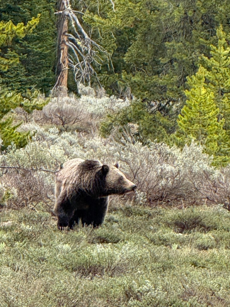
The rainy weather meant tourists were sparse when Sarabeth noted the large grizzly sauntering across the flats about a hundred yards off the road. We stopped, enjoying a world-class view of this gorgeous bear, softened by the light drizzle.
It’s hard to know if this bear is related to the iconic 399, but it’s heartwarming to spend time in a place where the natural world trumps urbanity, and bears are rock stars.

The Lake Taggart Trek
May 13, 2025
Waves slap the sides on the dock on which we are standing and the metal joints creak and groan. The Tetons are wearing shawls of fog, and mackerel clouds, harbingers of storms, blow in from the north.
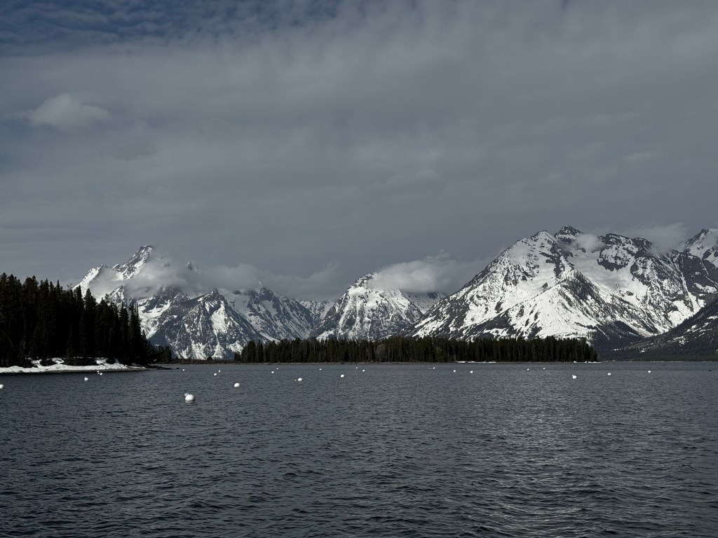
They say we are to get rain starting this morning and lasting the remainder of our stay, so we vowed to make the most of yesterday with a hike to Taggart Lake.
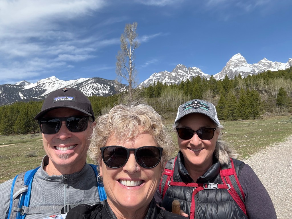
The valley was awash in bright sun as we set off, and I peeled most of my layers in the first 15 minutes. The trail wound through aspen just leafing out at the tips, across furious streams, and through sagebrush until we hit the pine forest.
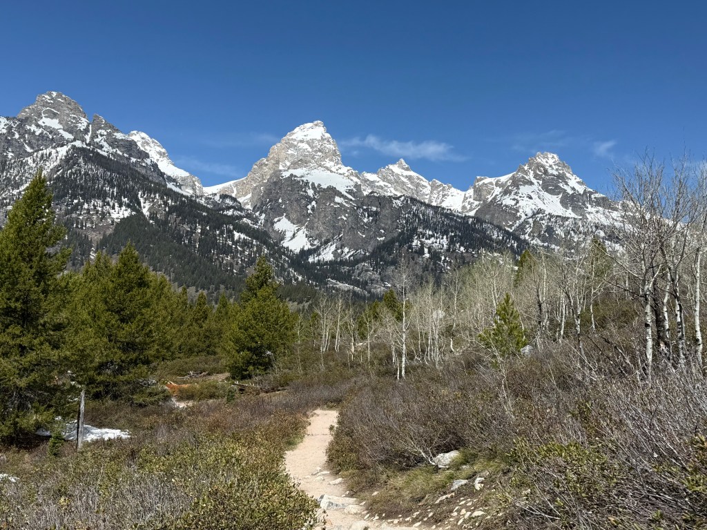
Winter hung on under the evergreens, and we trudged across slushy spring snow to the shores of the crystalline glacial lake reflecting the Tetons. The trail headed south and back under the pines, but none of us were quite done with alpine lakes, so we turned north and headed to Lake Bradley, a few hundred feet higher to the north.
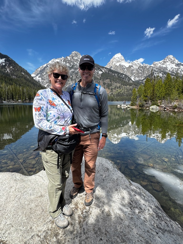
Forgetting my own lesson about the how changes in altitude affect conditions, we climbed the dry south-facing slope and dropped down into…a soggy mess. The lake itself was stunning, and not surprisingly we were the only ones there as the snow was several feet deep in places and we post-holed our way along the shore, searching for the trail that looped back down.
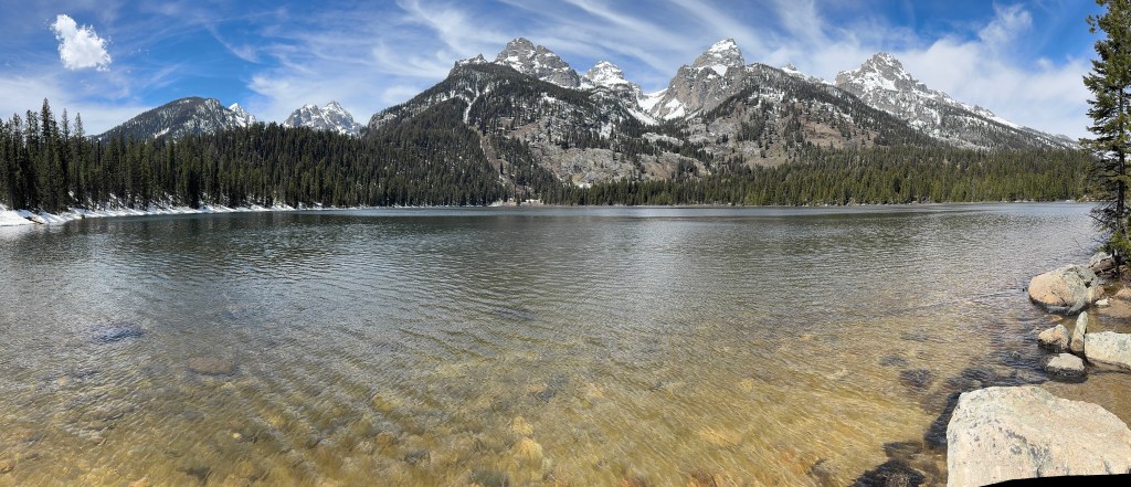
It’s quite disorienting how snowfall and downed trees can disguise an early-season trail, and before long we found ourselves at a charming footbridge, which unfortunately was well past our slated turn off.
We enjoyed the peace and solitude for a few minutes, consulted the map to realize if we continued on this trail we would wind up fairly quickly in uncharted backcountry. This prompted independent but uniform thoughts about bears, and we quickly turned around and post-holed hurriedly back to the planned loop. No doubt this was rather humorous to watch-somewhere nearby a bear was laughing.
Back at the loop junction, the trail led uphill through deep snow for maybe half a mile, marked by only a few footprints, such that we were wondering if this really was the trail. I began to take inventory of my pack-water filter; first aid kit; heat-retaining blanket; not a morsel of food-and rued my choices. Just as I was convincing myself we would need to dig in overnight, we crested the rise into bright sunshine and a brilliant view of Taggart Lake, embarrassingly close by.
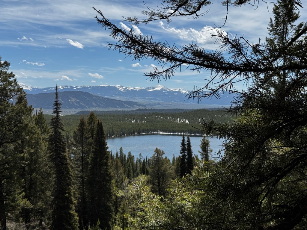
Feeling like the survivalists we could have been, we swaggered down the rest of the trail greeting upcoming hikers with knowing head bobs, piled in the car and, once out of public earshot, complained about our aching joints and the best ways to craft ice packs.
We dined al fresco on a fabulous salad with roast chicken, reliving our daring escapade before limping back to our respective trailers for a hot shower. Thank goodness for the coming days of rain!
Spring in High Country
May 12, 2025
There is a difference between 4500 feet and 8000. That seems obvious enough, but in spring in the mountains, this difference is huge.
We reluctantly left Paradise Valley, journeying south on the Old Yellowstone Trail otherwise known as Highway 89. Our trusty navigator (me) had plotted a course through Yellowstone National Park in this direction, but Siri and Waze routed us around the park, meaning I had taken us about 4 hours out of our way to go through Livingston.
Erich was a good sport about it, especially considering he had to do all the driving, but tensions were high as we headed south. The valley continued lush and green, the Yellowstone River roaring with melt off down it’s center. In fact, when we awoke in the morning the river had risen about 2 feet from the night before.
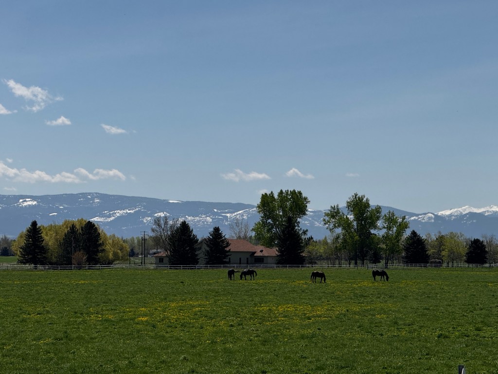
In the western tourist town of Gardener, Siri changed her tune and directed us to the gates of Yellowstone Park. Confused, we asked the ranger if we could get to the Tetons through Yellowstone, and he advised us that today we could as the south park entrance just opened yesterday. That made our day, and we wound through the park passing herds of bison with the tiniest saddle leather calfs, rogue coyotes, elk and pronghorn.

We stopped at several of the thermal ponds, and I was delighted by a group of Chinese tourists bunched on the wooden boardwalk staring avidly beneath a tree. I paused and asked what they were seeing, and the response “such cute bunny” was charming. Sure enough, there sat a common brown rabbit, nose twitching, enjoying it’s star moment.
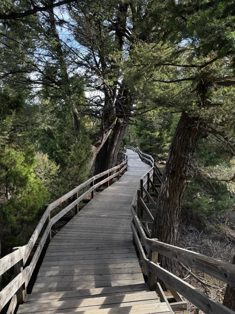
As we passed Old Faithful, the road began to climb and we crossed back and forth across the Continental Divide, the snow still several feet deep. Lewis Lake was still frozen over, though slushy channels were forming near the shoreline. We worried about what that meant for our planned hikes in Grand Teton.
The snow lessened as we drove south, but deep patches still dotted the landscape at our Colter Bay campground, which had just opened the day before. Upon check-in, the ranger informed us to be especially careful as a a mother grizzly and her three yearling cubs were just seen in the campground. Thank goodness Phinn wasn’t with us!
Most park venues were not opening until May 22, but we were able to go to the visitor’s center and walk the swim beach, a gorgeous pebble shore with a spectacular view. No swimming today though, as chunks of ice hung about the bay.
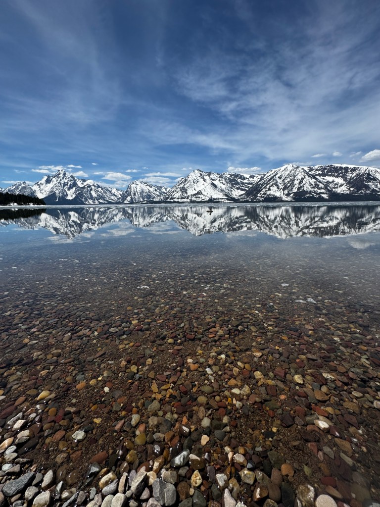
When we returned to our campsite our friends Sarabeth and Dean had arrived, and we shared a lovely dinner, saw the bear quartet from the safety of the road (Sarabeth got these amazing pictures) and watched the sunset from the beach.
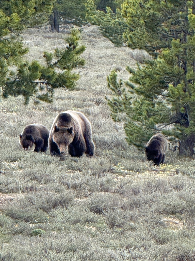
We awoke to sunshine, and planned to hike the Moose Pond Trail just south of Jenny Lake. Clambering over patches of snow and tree snags from a tough winter, we made our way to the ponds, sublime at the base of the mountains. We encountered few other tourists, though the few we did were memorable: a woman hiking in jeans, a sweatshirt and a large strand of pearls and a twenty-something in a short skirt and maroon cowboy boots.
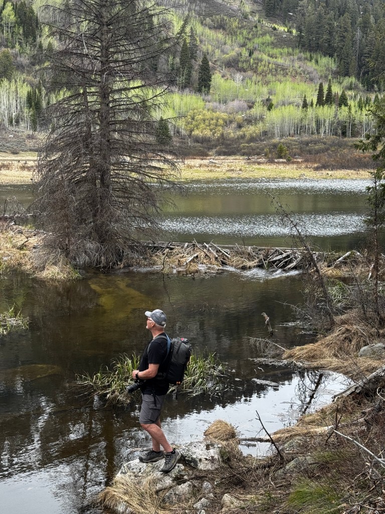
The bright sunshine had given way to clouds and passing rain showers, and just as we reached the half way point of the hike-the exposed portion by the ponds-a peal of thunder rolled through the valley.
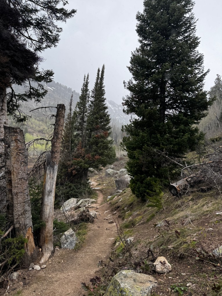
Thinking electrocution might put a damper on the week, we turned around and headed to Jackson Hole for lunch.
The bright sunshine returned, and we baked as we ate pizza al fresco overlooking the famous town square with it’s four corners of elk-antler arches.

We cruised the gift shops, made a stop to see the famous Million Dollar Cowboy Bar with it’s saddles instead of bar stools, and peeked in the Kemo Sabe “high-end western” store where a patron was leaving, describing to his partner the $1200 cowboy hat he had just purchased.
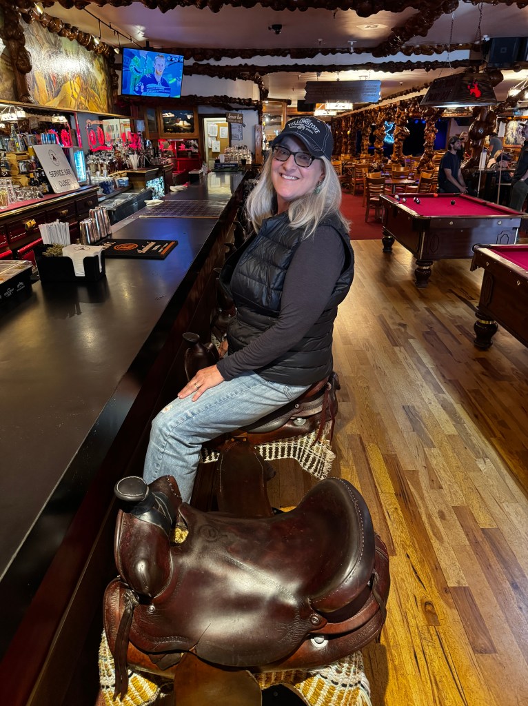
We lounged in the benches that lined the wooden sidewalks, and delighted in people watching. My favorite sight was a 4 year old blond girl in a red calico dress skipping down the boardwalk, her head lost in her mother’s cowboy hat.
As we made our way back to the car, ominous clouds rolled in, stacked purple and angry in the direction of our campground. The first raindrops hit the windshield as we drove north, and in the blink of an eye we were in a deluge with lightening flashing all around and trees dancing wildly in the wind. Grizzlies could have been playing poker on the roadside, and we wouldn’t have been able to see them for the sheets of rain.

Back in camp we retreated to our friends’ well-appointed RV and warmed ourselves by the fireplace, happily slurping chicken soup and marveling at the mercurial nature of spring in the mountains.
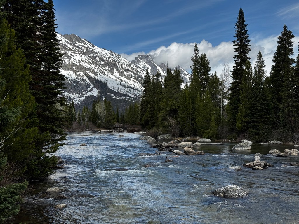
Reawakening
May 11, 2025
The campground stirs to life and the sun sends shafts of light through the pine branches, looking like a child’s drawing.
We are camped in Colter Bay at Grand Teton National Park, arriving yesterday after a stunning two day journey through Idaho and Montana.
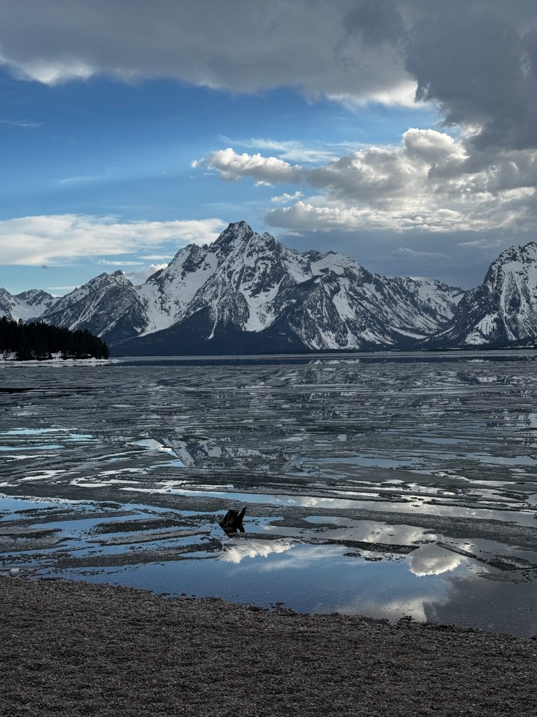
Though I had spent a winter in Livingston over thirty years ago, I had forgotten (how?) it’s amazing natural beauty, and the journey here allowed me to fully immerse myself in the landscape.
I start many days by telling Erich “Have I mentioned to you today how happy I am to be retired?” Not that I didn’t love my work, my colleagues and my patients, but by distancing myself from it I realize now how much of my mind was devoted to it, leaving little to absorb the world around me.
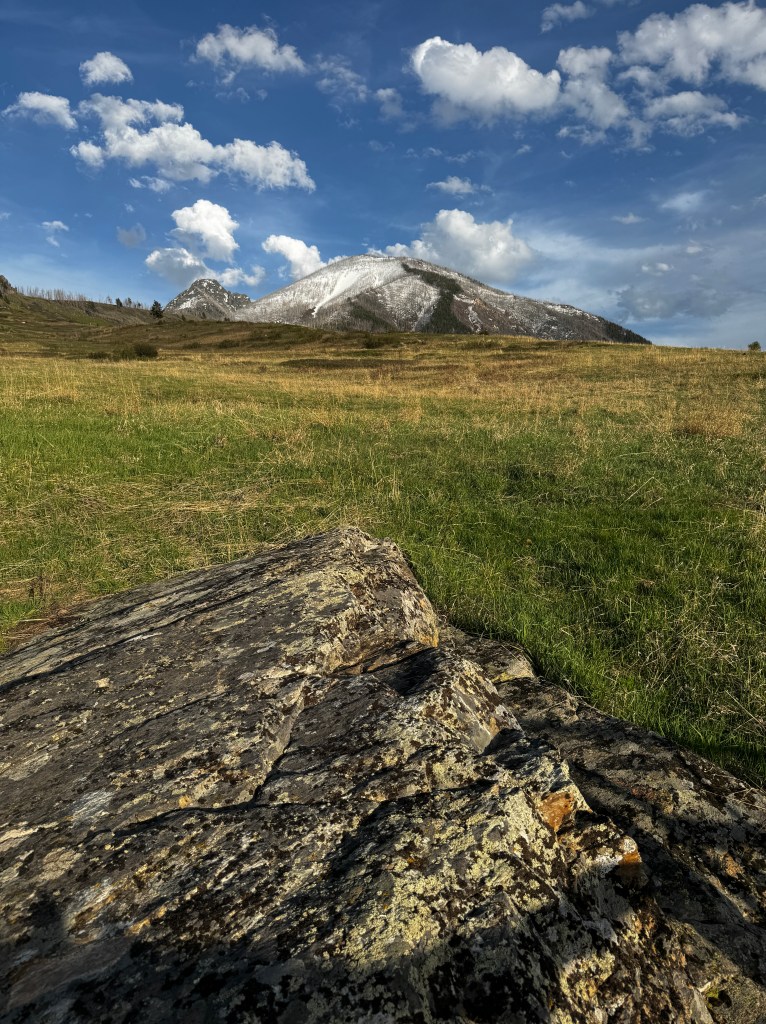
Time pleats as I stand on the banks of the Yellowstone River in Livingston. Ten feet and thirty-plus years above me, I stand as a young Internal Medicine resident. I was in Livingston doing a three month rotation in rural medicine, and I can say without doubt that it changed my life view.
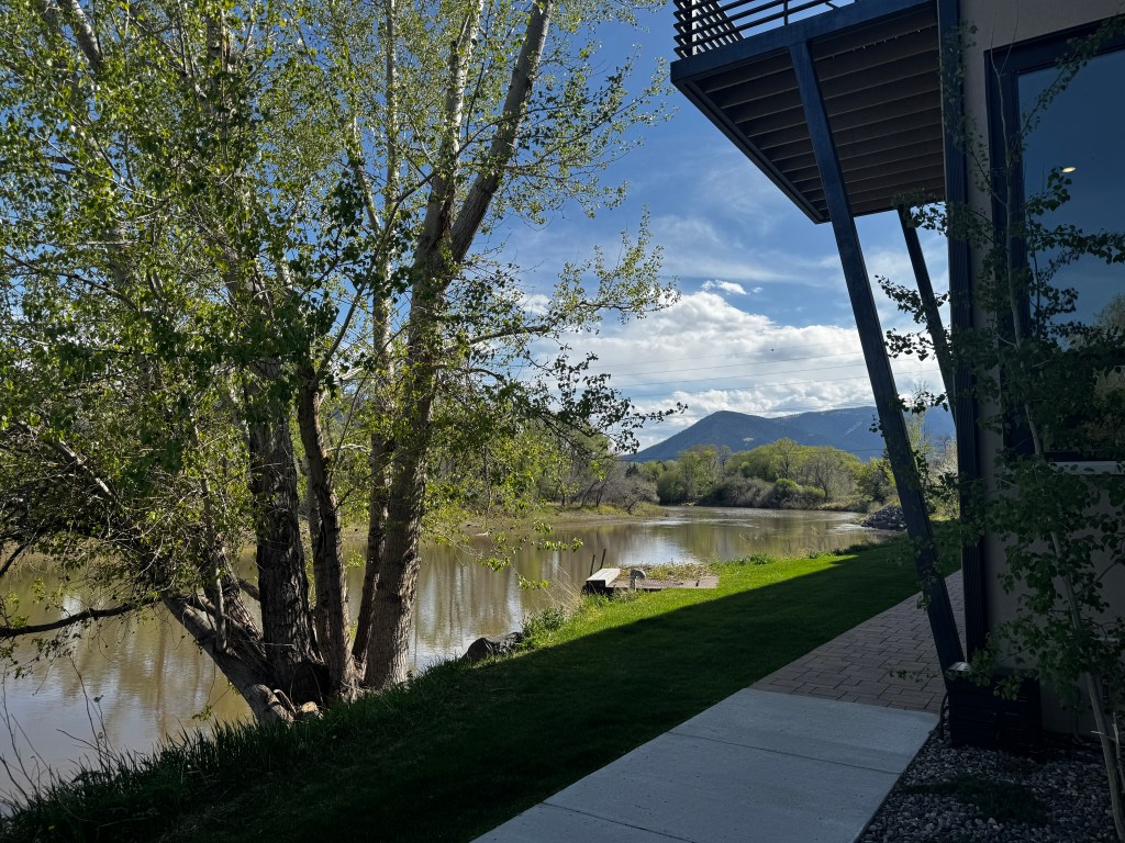
Coming from the University of Washington and knowing nothing but academia, I arrived with a bit of a superior attitude. What could small town doctors teach me? As it turns out, everything.
I learned about the amazing breadth of what rural doctors deal with, the amazing relationships they form with their patients and families, and the truly critical role they play in their communities. I left humbled and with lifelong experiences and mementos, including a pair of rattlesnake earrings given to me by my favorite patient, Rattlesnake Bill, that I still wear and shake when Erich annoys me.
Despite all I gained, I realize now what I missed. So engrossed in myself and my job, the landscape and history was lost on me. As we drive through it now, I ask “how can I have missed this?”
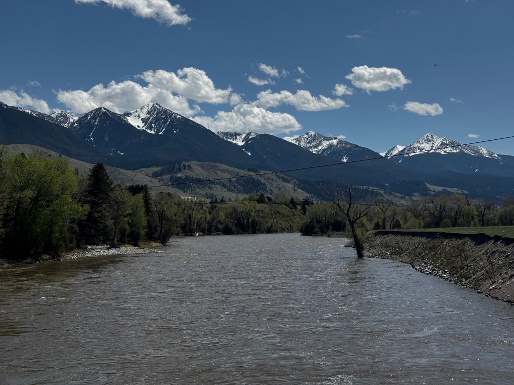
Camped on the banks of the Yellowstone River, flowing braided and muscular just downslope from our campsite, shadows stripe the brilliant green grass beneath our feet and robins and jays flirt in the still-bare aspen branches above.
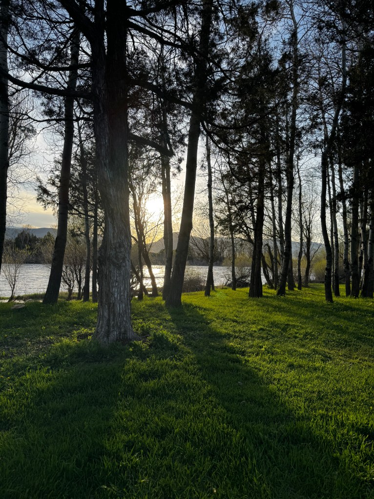
Behind us, the Absaroka Range towers, just awakening from winter, shaking off it’s blanket of snow. Elk and pronghorn graze in the meadows and the grass looks so lucious I want to join them.
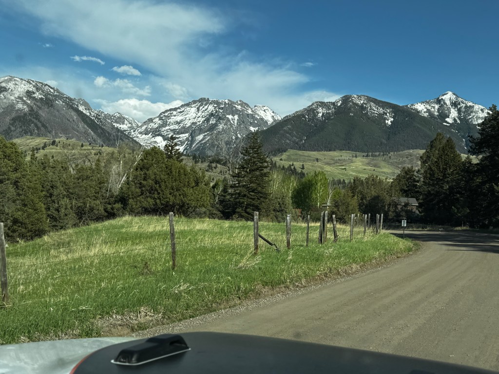
I guess there are seasons in life as in nature, and although not chronologically apt, spring sings like a Meadowlark in my heart.
Homecoming
April 5-10, 2025
My mother had a saying: “property enslaves.” We’re living that at the moment.
We drove through a full-on snowstorm after leaving Antelope Island and into a 30 mph sustained headwind. Poor Junior began to overheat towing Boo in those conditions, plus uphill and at altitude, and we were grateful to finally wedge ourselves in to a gritty spot at the Boise KOA.
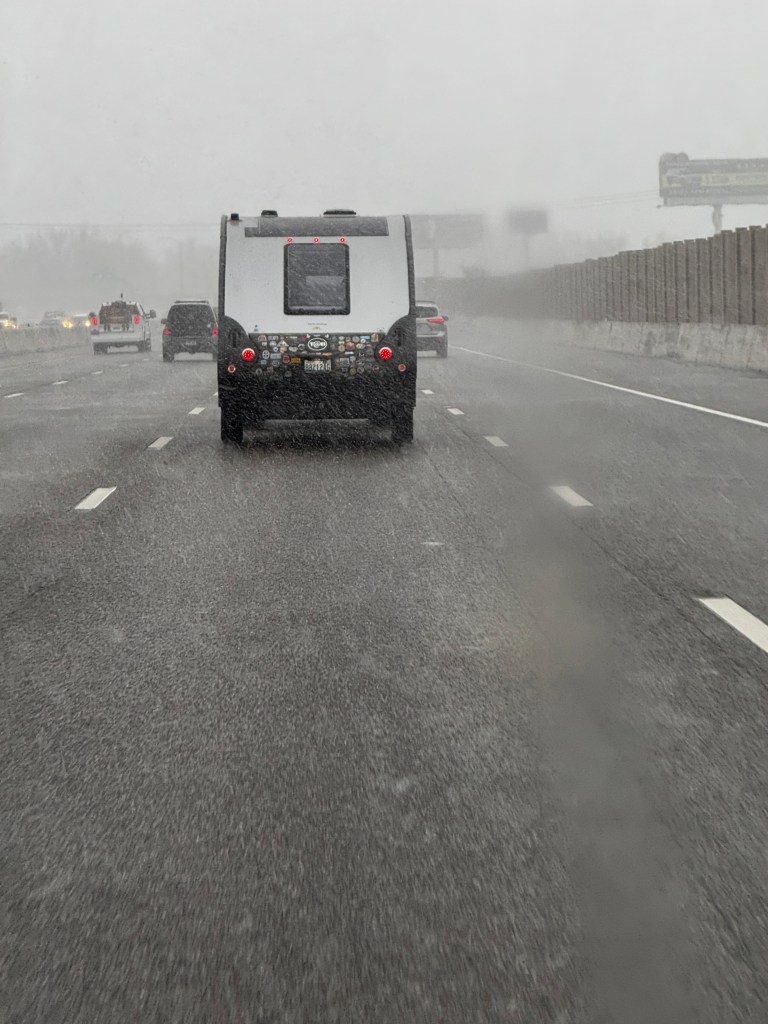
Phinn did not take well to being cooped up for 8 hours of driving, and took it our on the local hounds. Phoebe remained, as always, the perfect dog.
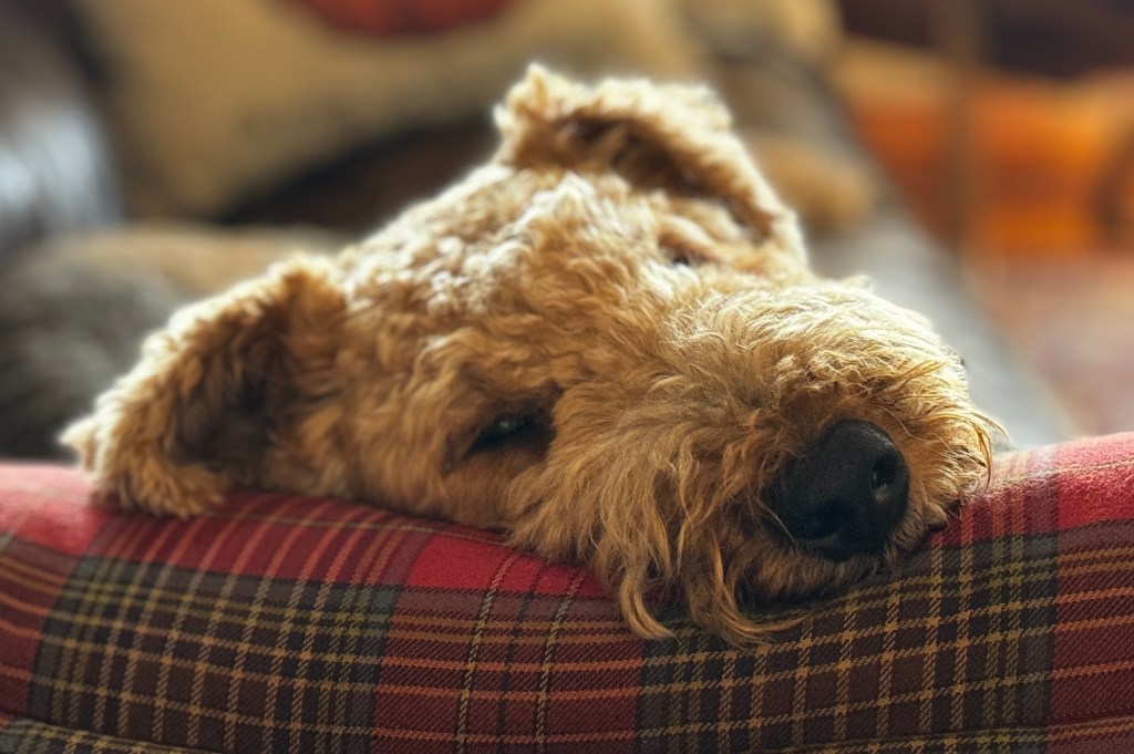
We’ve discovered that there is a whole subculture at some of our KOA stops-people who live in their RVs full time as an alternative to conventional housing, working in nearby fields, factories and offices. Our neighbor was a commercial photographer and his wife a traveling nurse, and they were raising their three children in their fifth wheel. After our return home, we begin to understand why…
We left Boise early with the caravan of trucks leaving for work, and arrived home after a brief overnight in the Pasco KOA, with a similar residential vibe. Seeing the familiar profile of the Cascades was a wonderful “welcome home,” and we arrived on a bright, sunny day.
The Pacific Northwest in the sunshine remains one of my favorite spots on the planet. The greens are deep and vibrant, and in the spring all smells fresh and new. The dogwoods and cherry trees are blossoming, and we tucked Boo in beside our burgeoning crimson rhododendron.

The house seemed huge after living in a 14 foot trailer for 2 weeks, and we all immediately retreated to separate corners of the place.
After we recovered our composure, we began to unload and noted that our Sub Zero fridge was no longer working. And our heat pump had an error message and was using the back-up system for heat. Life in an RV was looking better by the moment.
So, we’ve been learning about the failings of our various systems. Luckily, it’s been a washout with rain, giving us plenty of time to study up on refrigerators and heat pumps. The refrigerator may be just a malfunctioning thermostat, which is the cheapest of the possibilities. The repair technician told up that the price of a replacement Sub Zero would be $18-25K, and that because our kitchen was constructed around this feature, changing it our for a standard fridge would likely require a remodel…sigh. We’re hoping the thermostat does the trick.
The heat pump technician said he didn’t know what was wrong, and the system rebooted after flipping the breaker several times. We were delighted to hear that nothing seemed wrong and gleefully paid the hefty site visit fee. The error message returned just after he left…sigh.
It was with trepidation that we went to visit Fantasy, tucked safely in her slip at Liberty Bay Marina for the winter. Last year we arrived to a pile of pigeon droppings, and a family nesting on the boom. I was in foul humor after our homecoming thus far, expecting to find her listing and shellacked in pigeon dung and feathers. But as we walked down the dock, a sun break shone on our girl, and she was intact, glorious and pigeon-free! Homecoming is looking up.

Rolling North
March 30-April 1, 2025
The first wet snow drops slapped on the windshield as we drove the causeway off Antelope Island. A storm had blown in the night before, and pelted and rocked Boo through the evening. Now we drove into winter, the edges of the Great Salt Lake laced with snow and a lonely coyote making its way into the wind across the flats.
We left Monument Valley early, traveling north on the same highway made famous in “Forest Gump.” Two Navajo horsemen rode through the sage, transporting me back to the 1800s.
I’d just read the best collections of short stories about Navajo Country: “The Owl in Monument Valley” by H. Jackson Clark, who grew up in Durango with intrepid parents. They spent weekends with their kids traveling the reservation and meeting such southwest legends as John and Louisa Wetherill, Harry and Mike Goulding and Harold Baxter Liebler.
To travel through some of the same landscape and recall the history was a treat. I ruminated about the past as we passed Mexican Hat, Bluff and Blanding, and into the brilliant red rock of Moab.
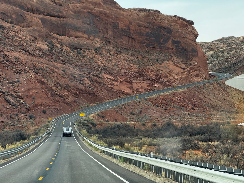
Moab was alive with Jeeps, bikes and ATVs as usual, and the line for the now required timed tickets for Arches National Park stretched half a mile. Somewhere Edward Abbey shudders…
We caught our old friend I-70 and headed west to Green River City, where John Wesley Powell departed for his epic exploration of the Grand Canyon. The land here was geographically similar to where we had just been, but driving it now made the flat grey and beige of the mesas look anemic, like someone had leached the color and given Moab and Monument Valley a double helping. And then we crested a rise and caught our first glimpse of the Wasatch Mountains.
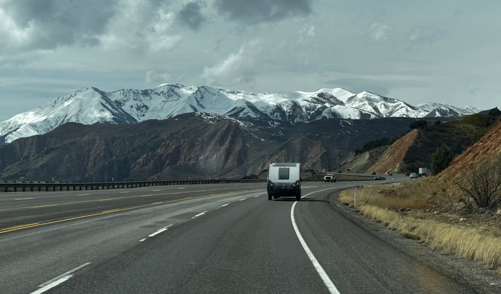
Salt Lake City, set between the eastern shore of the Great Salt Lake and the towering Wasatch Mountains, never fails to leave me breathless. It’s gorgeous setting appeals to many, and every time we pass through the urban sprawl seems more extensive. This time we discovered there is a new town of Syracuse (complete with a creepy looking Mormon temple just sprung from a farm field) on the mainland side of Antelope Island State Park. We had been cursing Siri for days, suspecting some glitch in her programming always gave us the weather for Syracuse NY when we asked about the park. It’s hard to keep up with AI…

Antelope Island remained sublime, it’s palette of muted yellow, grey and blue like hitting “pause.”
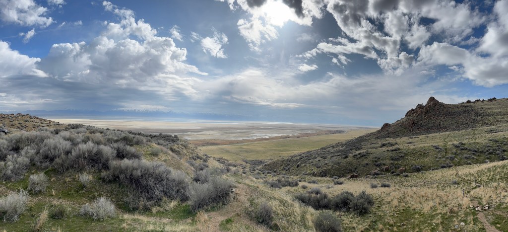
Our campsite was perfect, perched on the western slope overlooking the lake. Meadowlarks serenaded us as we walked through the meadow, and Phinn had his first encounter with bison poop, and stood contemplating the enormous offering quizzically, as though processing that he might not be top dog in this place.
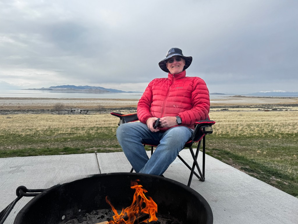
Morning dawned sunny, but dark clouds hung in the north and we now believed Siri’s prediction for snow in Syracuse.
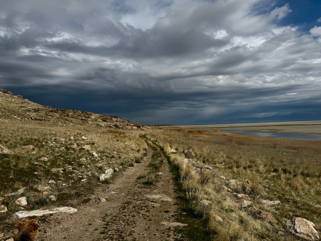
We took a wonderful, short hike at the spectacular southern tip of the island, let Phinn glimpse his look-alike big brothers, and returned to Boo as the first strong winds hit before the storm.
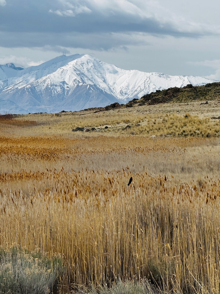
Nestled in Boo’s bunk, wrapped in blankets, we snuggled up and watched “Yellowstone.” The wind howled, the rain was horizontal and vicious, but we remained warm, dry and ever so grateful for our cozy, rolling home.
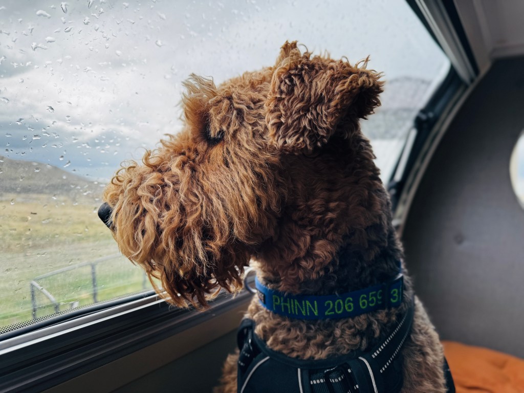
Monument Valley.
March 26-29, 2025
I close my eyes and jagged burnt sienna remains imprinted upon my retinae. How can I have lived twenty years in Arizona without seeing Monument Valley?
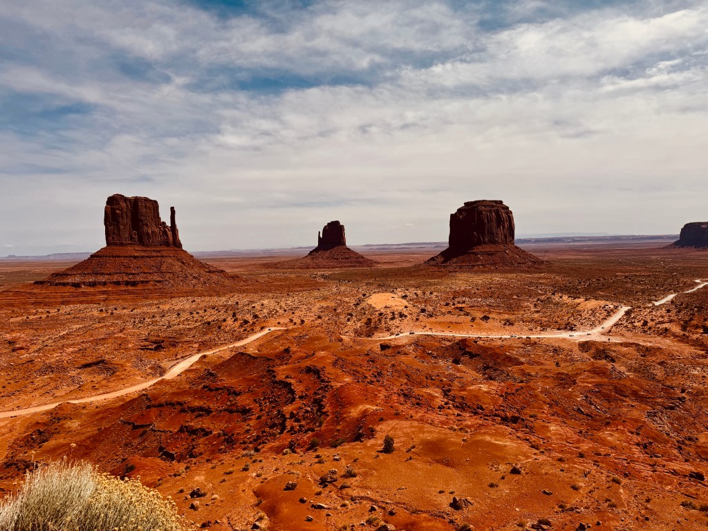
We left the Grand Canyon early yesterday morning, dropping 3,000 feet from the Coconino Plateau into the Painted Desert to the soundtrack of Navajo flute music. The ponderosa forests gave way to rolling hills of knobby juniper and chaparral, awash in shades of olive and gold. Suddenly a chasm cracked the earth like a red bolt of lightening, extending to the horizon. We had arrived in Navajo Country, on the banks of the Canyon of the Little Colorado.

Hogans and trailers dotted the landscape, and bony plywood shacks clung to the edges of the canyon advertising handmade Navajo arts, though they were all empty this chilly March morning.
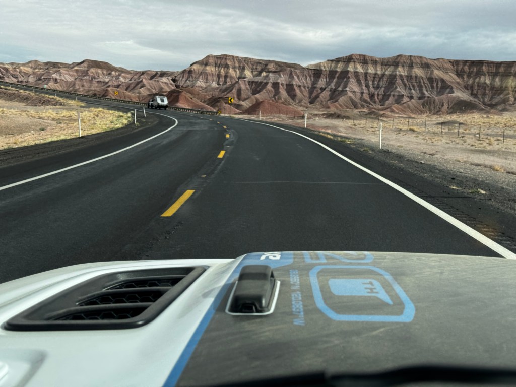
An wide assortment of billboards advertised local attractions from dinosaur tracks to a machine gun range, and caution signs advised us to watch for wild horses. A land of contrasts, indeed.
We stopped at a Denny’s in Tuba City, and were the only non-native clientele. It was charming to see four generations dining together, speaking in mellifluous Navajo. A weather-worn, bow-legged elder in a cowboy hat stood at the reception desk looking confused, and was greeted with “Good morning grandfather, let me help you…” It reminded me of Hawaii.

Back on the Navajo Trail we began to see vast buttes on the horizon, and after making a northern turn at Kayenta the shapes came into focus in a most amazing and horrifying way.

Enthralled by the landscape, I began taping the drive in on my iPhone and came over a hill to the vast weep of the valley in front of me, and Erich on the handheld radio asking “should we stop?” Directing my attention back to the road, there was a knot of cars pulled over at the base of the hill where the road curved. A battered truck stood upright about 50 yards off the roadway with it’s roof smashed, and two people had been thrown from the vehicle and were lying motionless in the sand. About five cars had already stopped and were attending to the injured and on their cell phones, so we decided to not further complicate the picture and give the EMTs room to do their jobs. We arrived at our campground a few moments later and the receptionist checked with the police after we reported what had happened-they were on scene and attending the victims. I showed her the last frame of my video, and she said that area always has rollover accidents, including one in which she was involved as a young girl where the EMTs mistook the spaghetti sauce from the cheerios she was eating for blood…A sobering start to our stay.
A little shaken, we pulled into our site at the southern end of a wind-whipped gravel lot.
Erich and the pups elected to take an afternoon siesta, while I set out to explore the museum at Goulding’s Trading Post. Harry Goulding and his wife, known as Mike, started the trading post in the 1920s, and many Navajo families came to exchange rugs and jewelry for basic supplies.
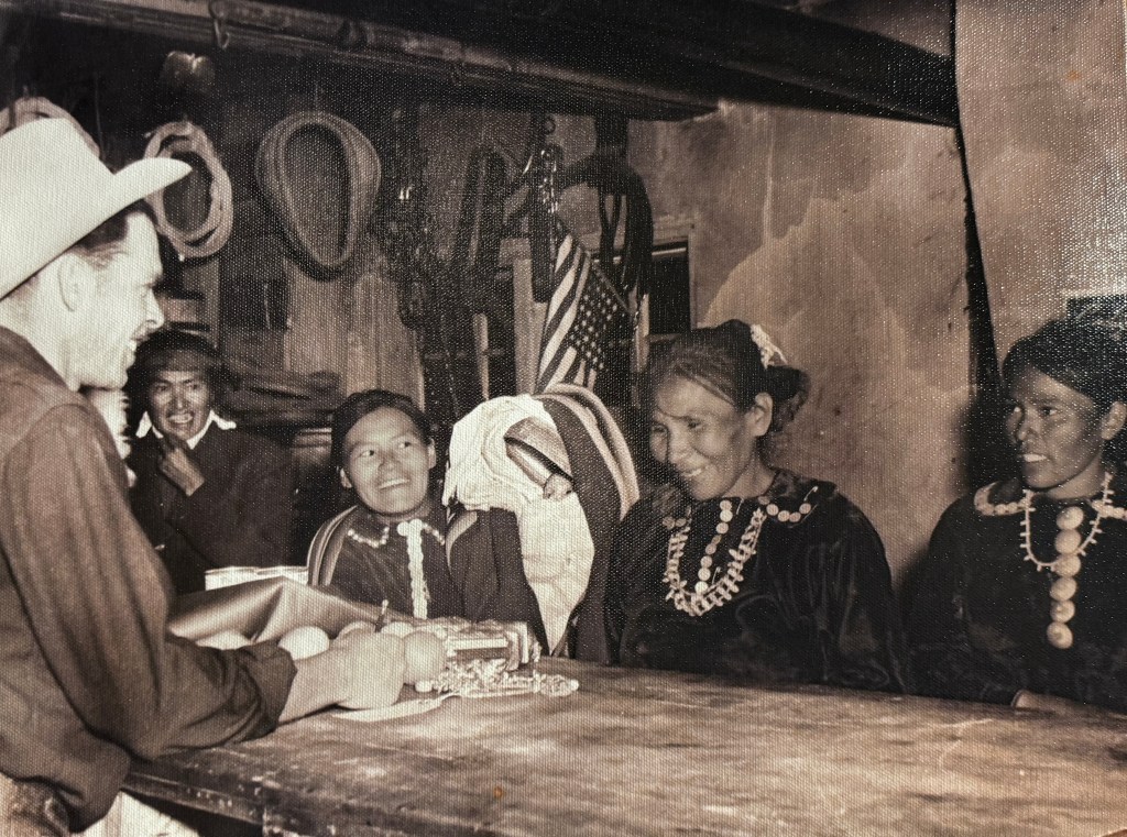
The original “pit,” as it was called, remains preserved, and is attached to a little museum telling the history of the place, and how the Gouldings lured Hollywood to the area in the 1930s to help aid the economy during the depression.
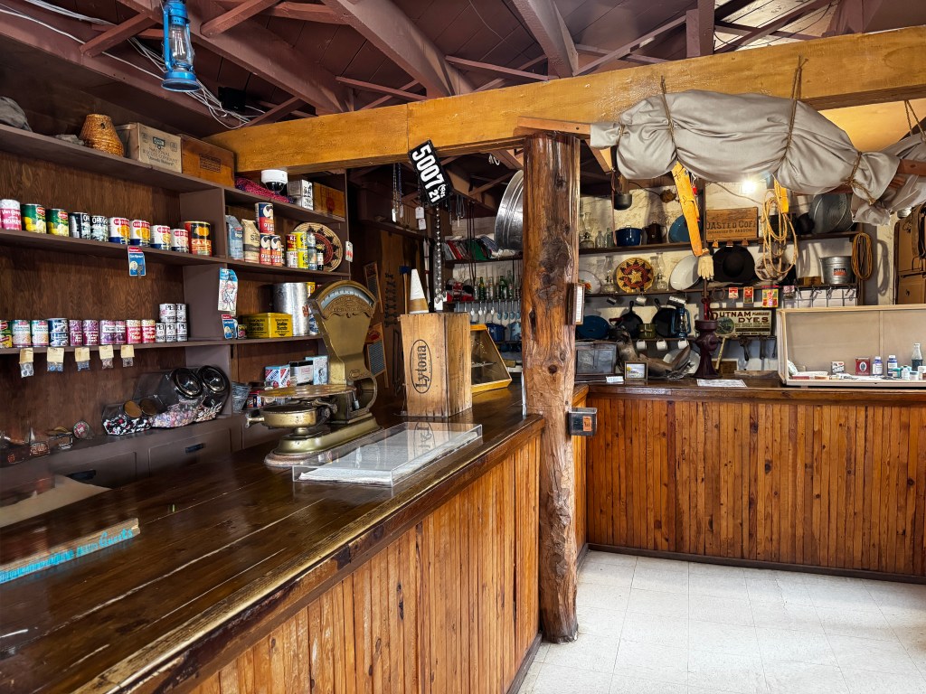
Legend has it that they took their last $60 and went to Hollywood, sitting for days in famed director John Ford’s office until he finally agreed to see them and the pictures they had brought. And, the rest was history…
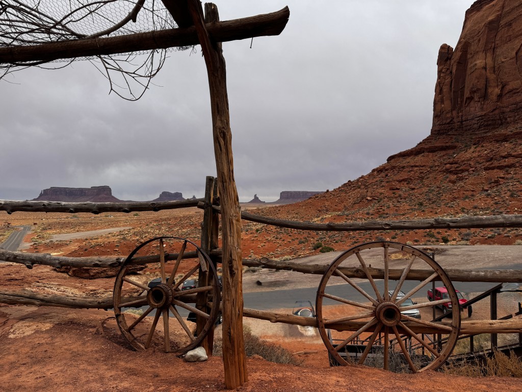
I reunited with our tribe and we took our first drive through the valley. We rolled the windows down so Phinn could enjoy the view, and paid the price mid-drive as he picked a fight with some pugnacious res dogs.
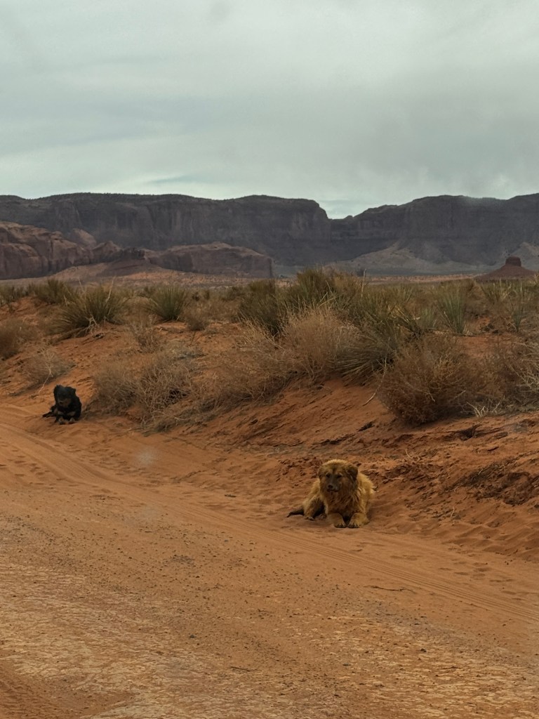
They were surprisingly angry and fast, hurling themselves at the Jeep with teeth bared and running after us, keeping up as we hit 30 mph. This was not Phoebe’s cup of tea, and must have upset her out more than we realized. We heard a series of unpleasant noises from the back seat followed by a waft of foulness. We stopped the car when we finally outran the nasty little creatures, and Phinn flung himself from the car to get away from Phoebe and the mess that covered the back seat. We cleaned up as best we could, rolled all the windows down, and drove holding our noses back to camp, seeing very little of the valley.

But, oh the next day! It dawned overcast and we hit the trail early to avoid the crowds of guided tours we ran across the day prior. We were one of the first to the valley and had the run on the place. Res dogs were still abed, but we kept the windows rolled up just in case.
The 17 mile loop tour of Monument Valley is limited to 4 x 4s as the road is dirt, and quite rough in places. It remains home to many families, and compounds with attached hogans are scattered throughout, some tucked under the most dramatic formations.
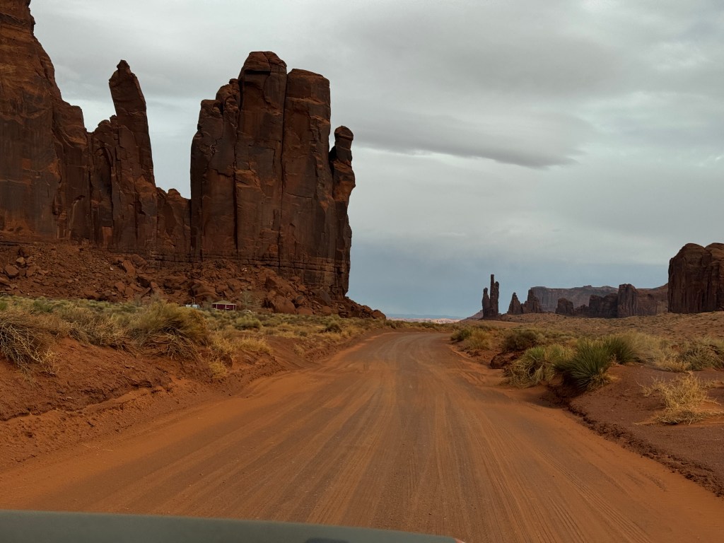
And around each corner is a new, staggering view. Words fade into silence, consumed by the vastness, beauty and tranquility of this magical place.
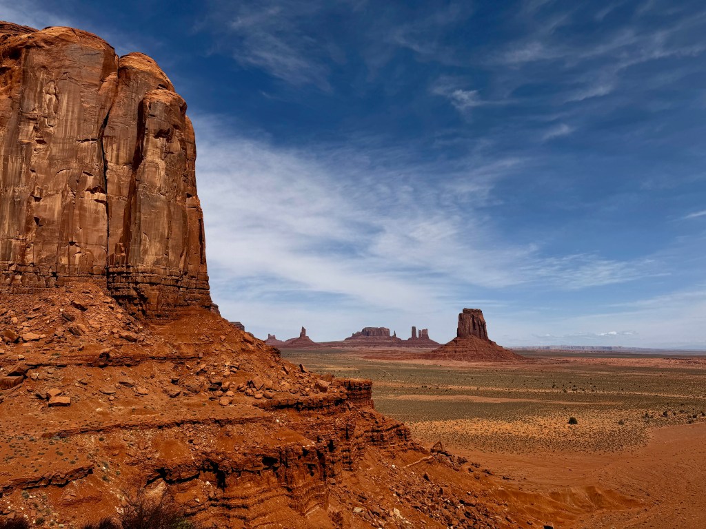
We returned twice to drive the loop, stopping as much as possible. We listened to the wind, scanned the canyons with our binoculars, discovering hidden oases shaded with cottonwoods, and enjoyed the whisper of our tires on the sugary ochre sand.
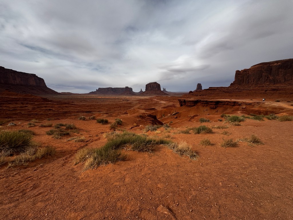
At the end of the loop, the pups and I toured hogans and sat overlooking the valley in awe while Erich trolled the gift shop.
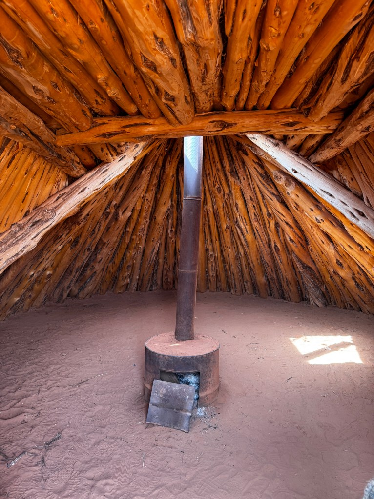
And Phoebe got her mojo back.

Another Door Opens
March 25-28, 2025
Waves of red grit pelt Boo as I sit overlooking Monument Valley in a windstorm, reflecting on the last few days, which seem like weeks.
We left Tucson on a 96 degree day of record-setting heat, which you would think would be a good thing. However, we booked our first night at Picacho State Park, 45 miles north of Tucson and even hotter…
Picacho Peak is a usually a beautiful place in the spring, when it’s slopes come alive with orange Mexican poppies and purple desert lupine. Not so this year. Our prolonged dry spell laid the mountainsides a barren, scrabby volcanic black, which did nothing to minimize the heat and had the dogs prancing on the hot asphalt.
Luckily the park had electrical hook ups, so we turned on Boo’s air conditioner and sat starting at each other until dusk, at which time we all ready to walk in different directions. Unfortunately, two of us needed leashes which kept us in our nerve-frayed pack, but the cooler air of dusk helped diffuse the tension. We all agreed we would be happy to be on the road and in an air conditioned car in the morning.
Dawn brought a lovely walk around the campground, and the three of us were in better spirits and ready to hightail it north until we returned to Erich who was breaking down camp and asked “Did you get Debbie’s text?” Debbie is one of our upstairs neighbors at the condo and had texted to tell us that we were so anxious to leave that we had left the kitchen door open!
OK, as I am prone to hyperbole, a little context would help. We have lovely exterior wrought iron security doors and inner 1940s-original wooden and somewhat termite-ravaged inner doors. We had locked the outer doors, but not the inner kitchen door and the wind had blown it open so our kitchen was on full display.
We are once again driving in convoy, so in theory I could have driven the 90 miles round trip to take care of it, but adding that atop a five hour drive to the Grand Canyon and spending any more time at all in hot, hot Tucson did not appeal. Debbie graciously agreed to let me mail the key, and we agreed we owed her dinner in the fall. “The benefits of communal living,” she said. Amen!
Back on the road and in search of a post office with a non-communicative Siri, we threaded our way through Phoenix and it’s million personal injury lawyer billboards and breathed a sigh of relief as we climbed into the high desert around the Verde Valley. Soon the snow-capped San Francisco peaks came into view and the memories of the Tucson heat melted away.
I stopped at the Grand Canyon Post Office, where I sent the key to Debbie with the return address of “Wide Open Road” before joining Erich at our campsite set amongst the ponderosa pine and clocking in at a pleasant 72 degrees…
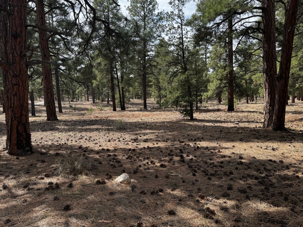
I was excited to see the canyon again, having just read Kevin Fedarko’s “A Walk in the Park,” about his experience hiking the entire length of the Grand Canyon. This is not a feat for the faint of heart, and saw him and his companions shimmying around escarpments, rappelling down slot canyons and breaking trail through cholla forests while suctioning water from slimy pools along the way with syringes to survive. However, amidst the travails were epic moments of beauty, and he has a poet’s soul in the telling of both.
I learned more about the history, geology, geography and indigenous peoples of the canyon from his book than I have from the half-dozen others I have read over the years. And the topper was that I was able to hear him speak at the Tucson Book Fair, so all was fresh in my mind.

The canyon has always inspired awe-how could it not? But this time I looked at it with new eyes. How scary it must have been to tiptoe on those thin ledges high above the river; how amazing to rest on that sandy beach as the green waters rush by; how sublime to rappel into that narrow slot canyon as quiet as an empty cathedral, where perhaps no other human had ever been? Looking out across the 10 mile expanse, I wondered how many side canyons were waiting to be rediscovered, with potshards and storage caches of the ancients waiting…
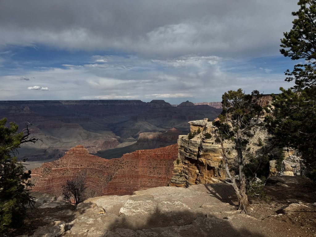
We walked the pups along the Rim Trail gazing silently into the vast, pastel expanse. Updrafts played with our hair and fur, and suddenly produced a group of six ravens, floating in formation together like nature’s air show, surfing the wind.

At Grandview Point I hiked about a quarter mile down the trail to get a sense of what it was like in the silence below the rim that Fedarko described. I had a brief flicker, and then all was taken over by a pot-bellied tour guide with a voice like an auctioneer braying form the rim that the geological timetable outlined by the NPS was “all wrong.” His audience listened with rapt attention as he described that “on day 2 of creation, God put all these rocks together in a pot and then shook them up. It took only a few minutes for them to land where they are today.” I guess we all see what we want to see in the canyon…
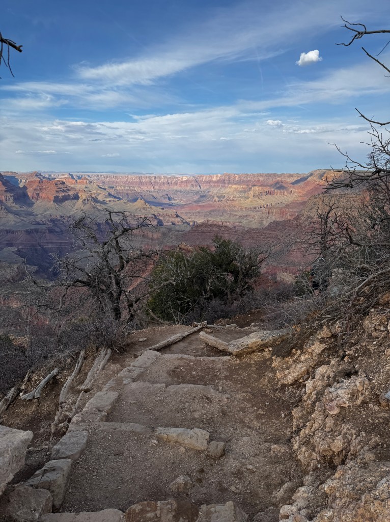
The next day, after exploring more of the South Rim, Phinn and I decided to explore the NPS version of events while Erich and Phoebe relaxed back at camp. We walked through the ponderosa forest to the Trail of Time, a 2.1 km paved path at the canyon rim where ever meter represents a million years, and the geology of each layer is displayed physically and chronologically at trail’s edge, and visible below in the living canyon. From the Kaibab limestone at the rim, through the layers of time to the Vishnu formations at the base, what an amazing multi-hued revelation-and this from someone who is put to sleep immediately at the mention of metamorphic rock!

The wind picked up as we walked back to camp, and hasn’t stopped since. Erich texted to warn me to be careful of Phinn as a herd of cow elk were wandering through beside his corral- there had been an unpleasant encounter the night before. But all was peace tonight, each of us lost in our canyon reflections and hoping the wind didn’t extend as far south as Tucson and our open door.
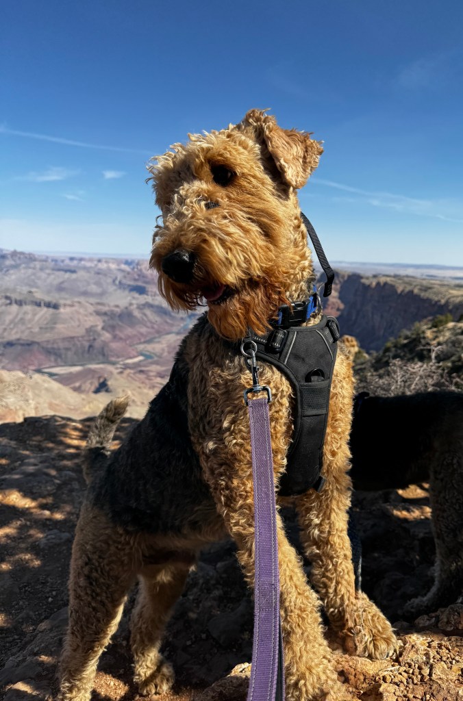
Farewell with Friends III
March 12-24, 2025
The scent of orange blossoms slips through the already warm air as we walk the pups early in the morning. It’s starting to heat up and the snakes are slithering forth-time to to head north for the summer.
We’re doing our traditional Tucson round-up tonight at our favorite steakhouse, El Corral, before we hit the road tomorrow. And boy, do we have a lot to talk about!
Our last few weeks have been a flurry of social activity, starting with the now annual visit of our dear friends Dianne and Todd for the Tucson Festival of Books.
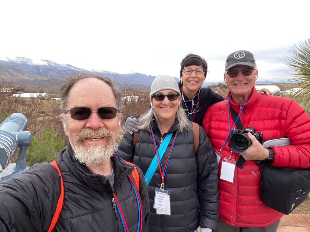
The Festival is a gathering of over 400 authors attended by 130,000 fans, and features a dizzying array of talks, booths, food and live entertainment. This year it was voted one of the ten best book festivals in the world by Conde Nast, and the only one on the list in the U.S.

Preparations begin weeks in advance with the erection of hundreds of white tents at the University of Arizona campus. Of course, Phinn felt it necessary to explore and christen each tent on our walks in the days prior…
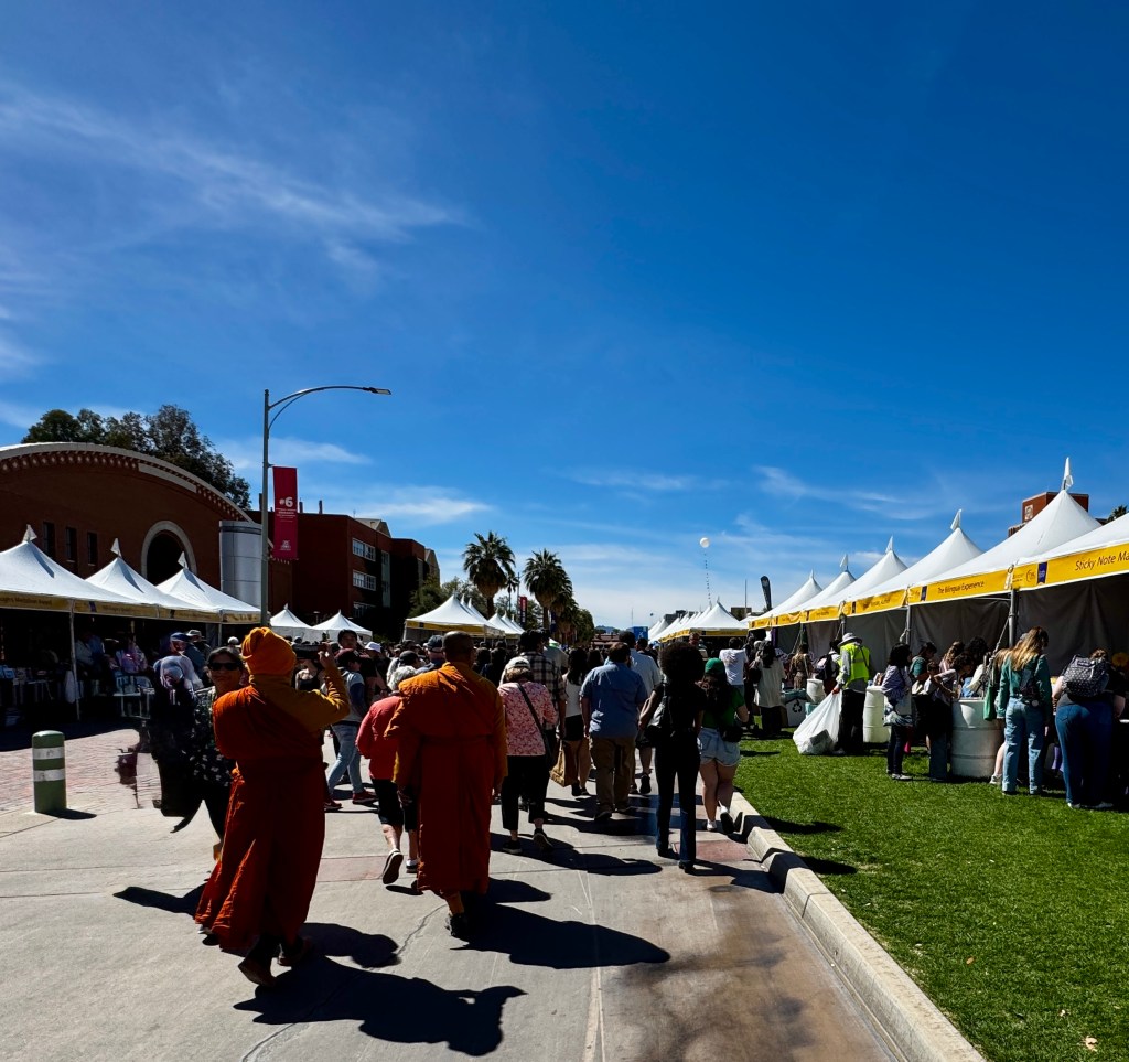
Planning which talks to attend is like outlining a semester of college, and some tickets require free, but coveted, passes. Thus I was lurking over my computer at exactly noon on March 1 to secure passes to “Billionaires Run Wild,” and “Reconciling in the Time of Trump.” Both talks featured panelists who have spent years researching the new oligarchy and it’s ties to Christian Nationalism…very informative, but most distressing. As a result, I spent most of the rest of my time at the National Parks stage, hearing about the Hubbell Trading Post, the beauty of the Grand Canyon and the importance of nature and solitude.
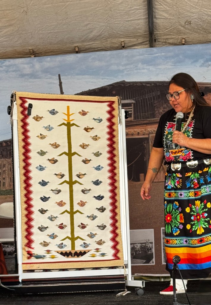
Expanding on the theme of solitude, we set out next to see the Biosphere II, a privately-funded research enterprise built in the late 1980s on the outskirts of Tucson to house eight people for 2 years in a sealed environment. The purpose of the experiment was to see if it was possible to create a self-sustaining ecosystem, with an eye to colonization of other planets.
An enormous amount of research went in to creating the 3.1 acres of enclosed space, including the largest greenhouses ever built to support the different ecosystems of desert, savannah, rain forest and ocean.
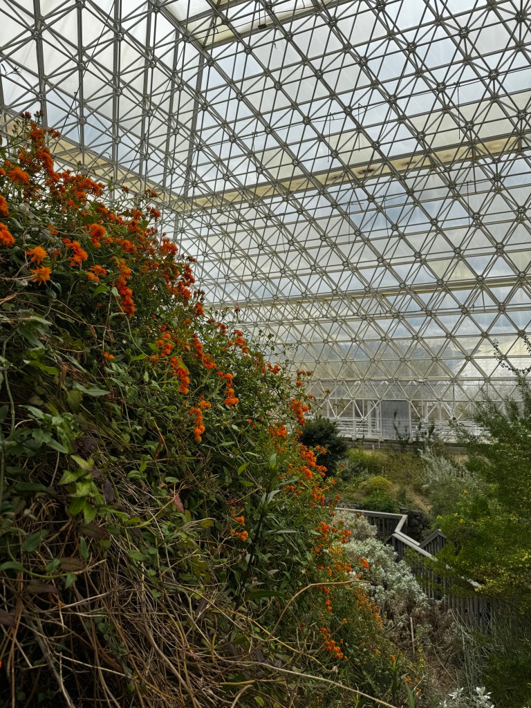
The experiment ran from 1991-1993, and was marred with infighting and an unexpected drop in oxygen levels. Research stopped shortly into the second two year experiment and the facility was sold to Columbia University. They used it sporadically for ecologic experimentation and it fell into a state of disrepair. This is the only time we had visited, and it was a sad affair-the ecosystems slowly dying off and the run-down visitor’s center offering little in the way of interpretive information.
Todd and Dianne wanted to see it, so we agreed to join them in the hopes that we would not leave as depressed as we did last visit.
The facility had been taken over by the University of Arizona in 2007, and to see what hey had done with it made me proud once again to be an alumnus. The site had been cleaned and maintained, the ecosystems revived, a wonderful app-based self-guided tour augmented two docent led tours and brought the place to life in it’s incredible complexity. Our favorite experience, in addition to wandering through the vast greenhouses, was the “lung” tour.
With the vast amount of space under glass, the engineers needed to figure out a way to deal with expanding and contracting air in a closed system. One could imagine that in the absence of such a system, as the day warmed and the air inside the greenhouses expanded, it would explode the windows of the greenhouses, and vice versa with cooling.
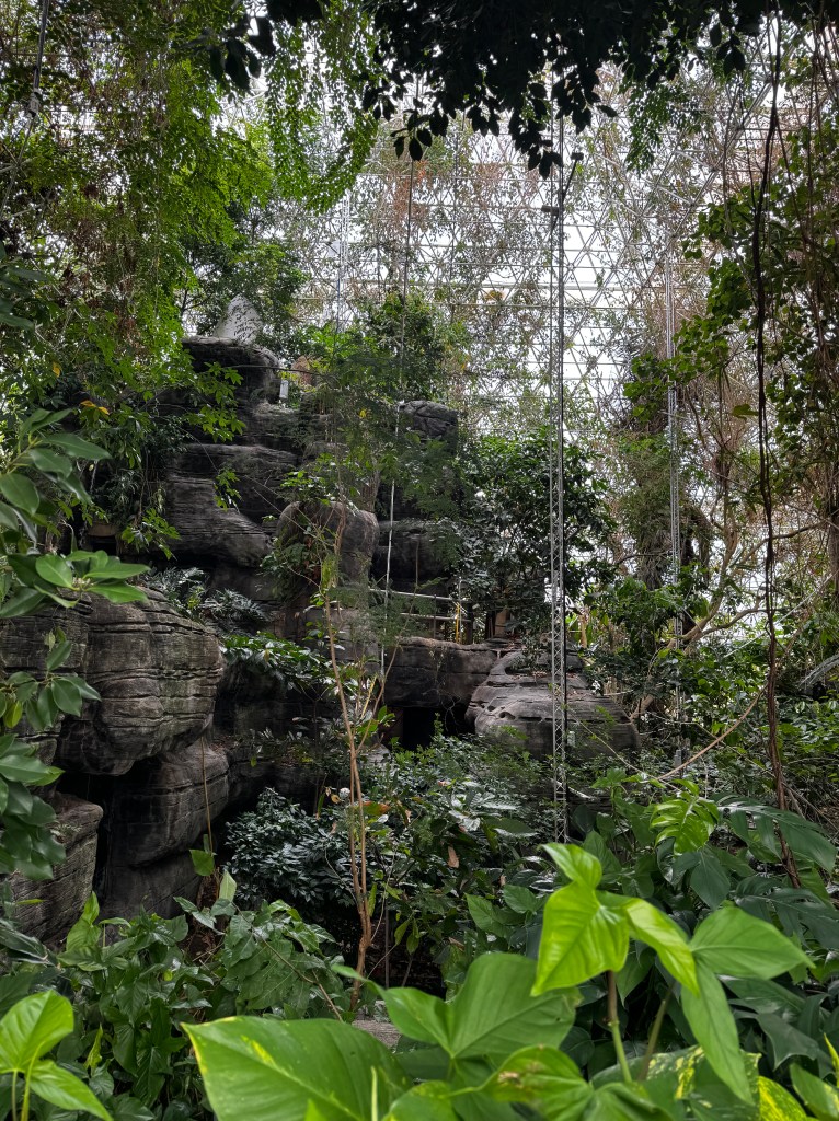
The solution to this fix are two enormous round auditorium-sized rooms that expand and contract in response to air pressures in the system. As we descended into one of the lungs, a steady breeze blew and the docent advised us that this was the lung at work, sending air back to the greenhouses on this chilly March day. As we stood around the center of the room and our body heat warmed the room, we watched as the 20 tons of overhead lung slowly expanded-held up by nothing but air!
Minds blown with this feat of engineering, we climbed to the heights of the library overlooking the lungs and vast desert beyond. People have the capacity to be so inventive and amazing, and if we could channel this to work with nature, instead of extracting from nature, just imagine what a great planet this would be!
My mind needed a break, and luckily I had arranged a day trip to Miraval Spa for Dianne as a retirement present. It ended up being just the balm we needed…
Celebrating it’s 30th birthday this year, Miraval is consistently voted one of the best spa destinations in the world, and we got to experience just why.
Nestled in the foothills on the northern slope of the Catalina mountains, the setting is lovely and very rural. We were greeted by our own concierge in the parking lot, who walked us through the check-in process and gave us a tour of the grounds, before dropping us off at our first class, Morning Meditation.
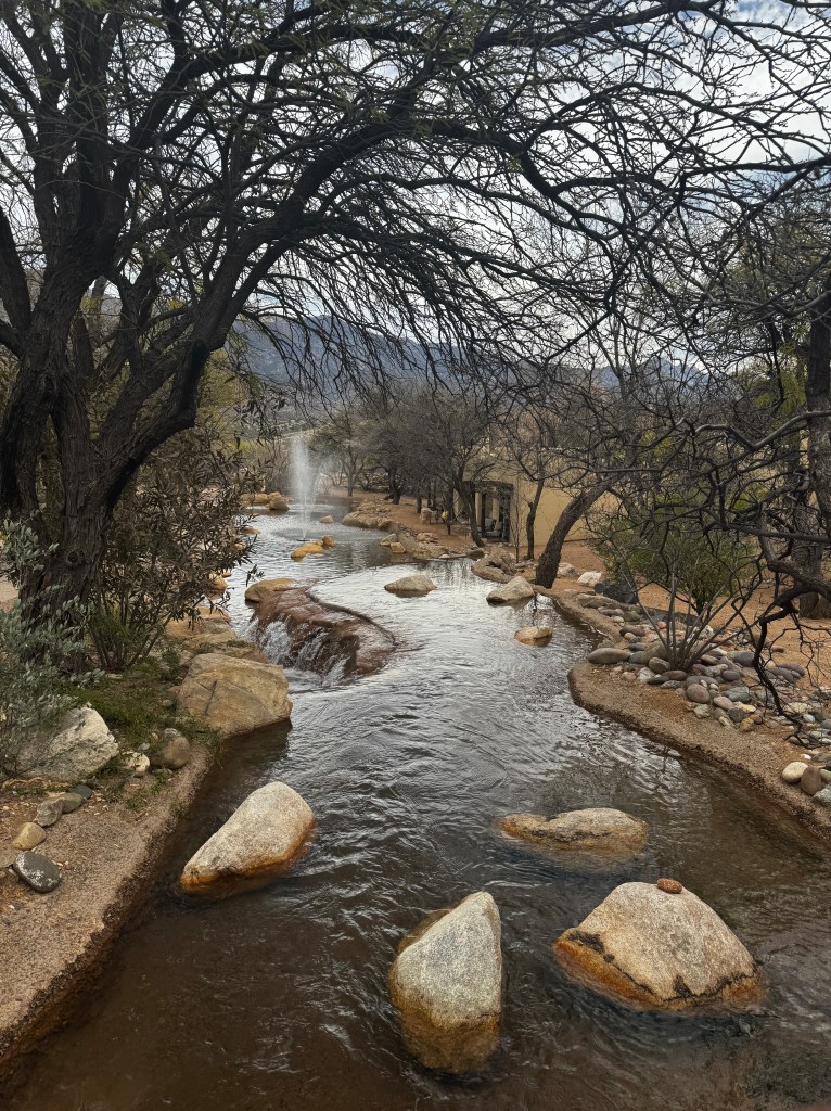
With a view over the expansive desert and serenaded by birdsong, it was quite easy to melt into the moment. This was followed by the best yoga instructor I’ve ever had -admittedly, this is a small number, but if she could get these old bones to follow poses without getting neck spasms trying to watch her, she’s amazing in my book. This was followed by a “Desert Drumming” aerobics class that was so much like rhythmic dance that I barely noticed I was exercising, and a journaling seminar, also expertly taught, that found me sitting next to the actor who played Kylo Ren.
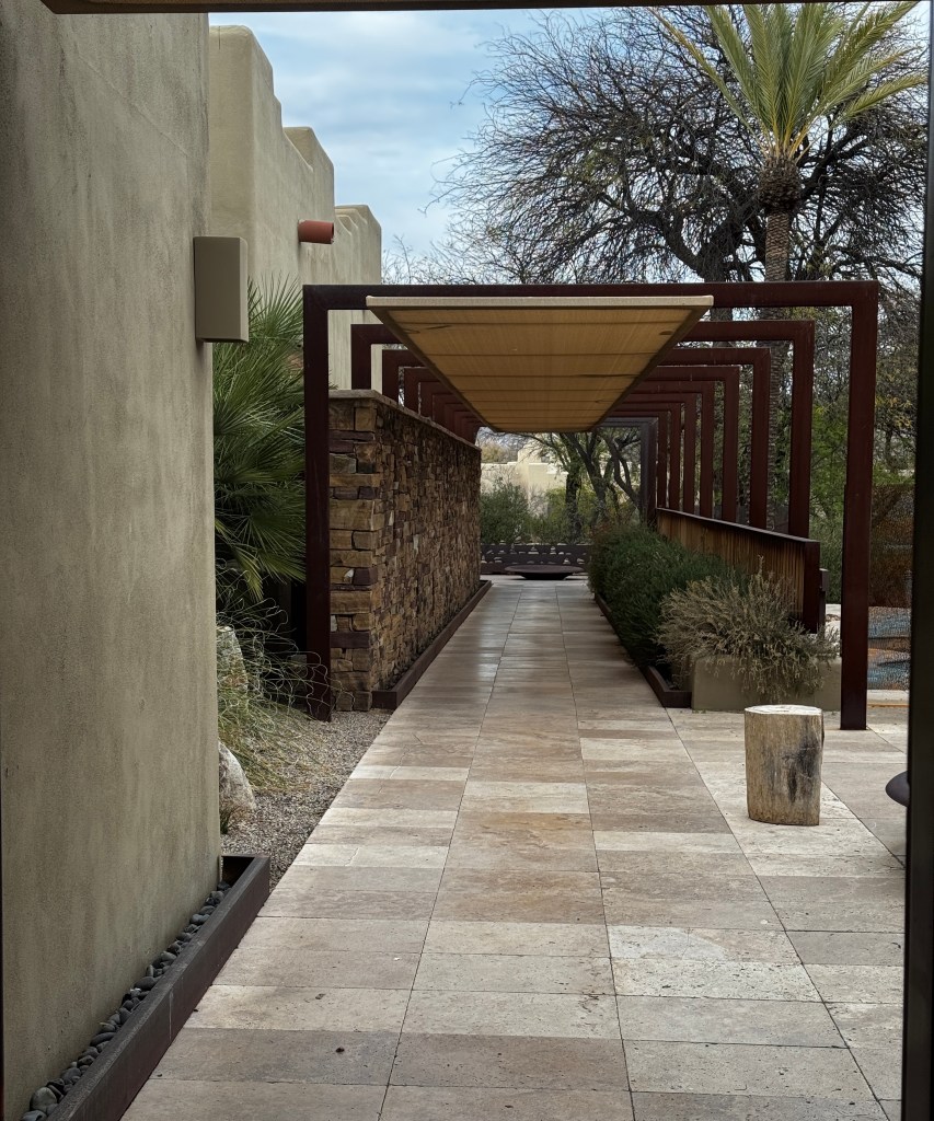
Following a delicious lunch, we wandered the grounds admiring the art installations with a teacher in art appreciation, and then soaked our cares away in the spa pool. Any remaining cares were kneaded out of us in a late afternoon massage, and we wrapped up the day sipping coconut smoothies as we wandered the labyrinth.
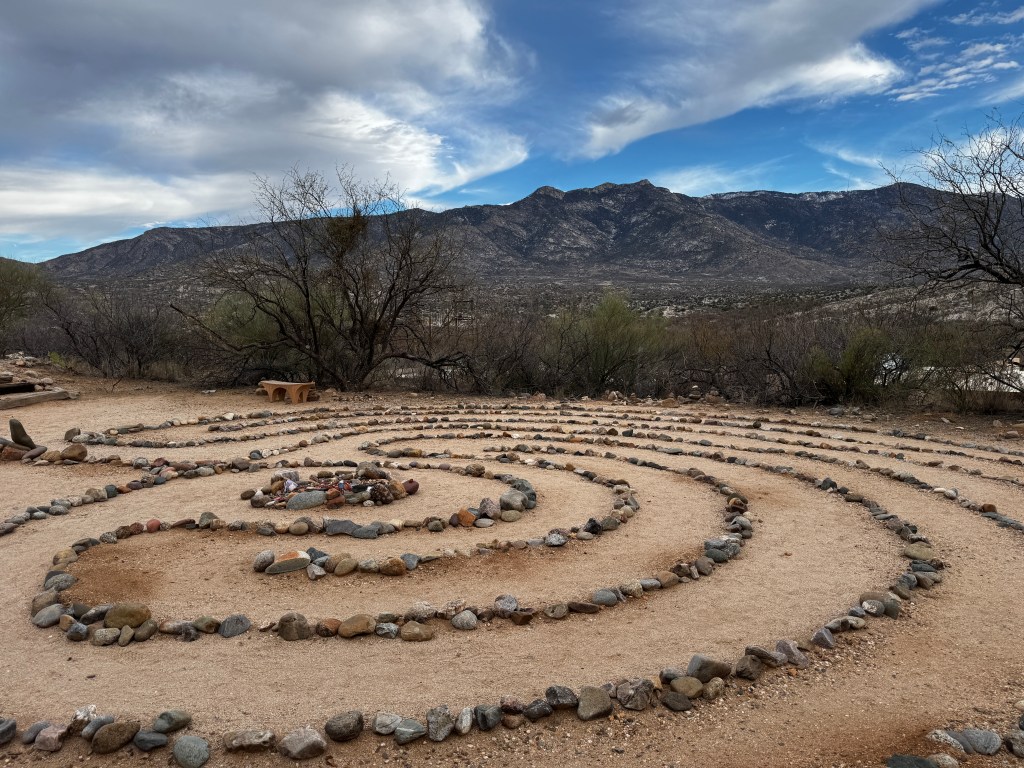
A final strike of the famous gong, and we made our way home, thoroughly impressed and blissed out by our Miraval experience.
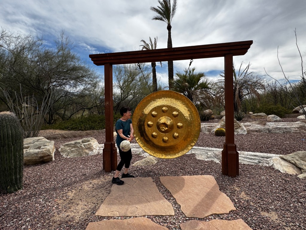
Dianne and Todd departed for the Pacific Northwest and we enjoyed a few more farewell dinners with winter friends and Phinn said his good-byes to his playmate and mini-me, Ollie, and his owner, Ellen.

Our last outing of the winter took us to “Thunder and Lightening Over Tucson,” an air show put on every other year at Davis Monthan Air Force Base about five miles from our condo. We learned of it after we, and a dozen other condo owners, ran into the central courtyard to investigate an awful din/vibration and watched five Thunderbirds maneuvering just overhead.
Ear plugs at the ready, we made our way to the show and were amazed by the display of planes, from the earliest biplane to the latest F-35, all performing incredible aerial stunts. Once again, engineering amazes…

As I bask in my last swim of the season, looking up at the palm fronds waving in the warm breeze and the late afternoon sun gilding the drops that rain from my splashing feet, I feel ever so grateful for our lovely winter home.
A Wickenberg State of Mind
March 6-8, 2025
Our hands drew roping circles in the air as we drove west on highway 60 into Wickenberg, grooving to John Cash’s “Ghost Riders on the Storm.” We had passed a sign a few miles back advertising the family-owned country station out of Wickenberg, and decided to go all-in on this self- proclaimed “Dude Ranch Capital of the World.”
We were in this part of Arizona for our first “Jeep Adventure Academy,” where groups of like-minded Jeep owners gather to learn about their vehicle’s off-road capabilities, which as it turns out exceed my comfort zone!
Our beloved Mesa friends were meeting us to share the experience from the back seat of Thumper, my 2023 Rubicon Wrangler.
The forecast for the event was ominous-the first full-on rainstorm the desert had seen in months-sandwiched between the usual sunny days. Of course. Perhaps our Johnny Cash soundtrack would be all-too fitting…
The event was being held at the Flying E Dude Ranch, and we drove there first to ensure we knew where to meet. Downtown Wickenberg is a cute Western-themed town with false storefronts and wooden colonnades over the sidewalks, dotted with restaurants like “Hassayampa Barbecue,” “Cowboy Cooking” and ”Spurs Cafe,” which we were looking forward to sampling in the next few days.
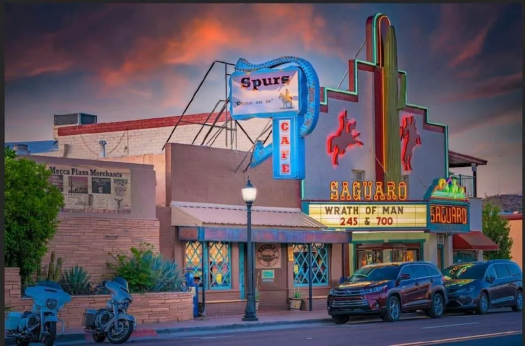
Puffy cumulous clouds drifted over the Vulture Mountains and cast bruised shadows over otherwise sunny landscape. It was tough to believe that a storm was brewing…
The Flying E was set on the site of a 1860s massacre, where the Yavapai and Apache rose up against the white settlers after the sparse US army garrison left to fight in the Civil War. The land had recently been ceded to the US in 1848 at the conclusion of the Spanish-American War, and the battle for land dominion and mining rights was raging. Today, all was calm and sunny while Erich posed for photos at his namesake ranch.

Back at the hotel, we met up with our friends who had likewise gone all-in Wickenberg, and I spent the evening enviously eyeing a pair of gorgeous red cowboy boots Sarabeth had paired with lovely turquoise jewelry.
Our hotel concierge had recommended “Cowboy Cooking” as THE place to dine. It was definitely local, but beyond that forgettable. As we left, the largest group of vultures any of us had ever seen circled above town, perhaps feasting on the last Jeep class…
The sound of tires hissing on wet pavement woke us the next morning. The promised storm had materialized, and leaden clouds hung low over the hills. This amped my anxiety as we bumped through mud and puddles at the Flying E.
The venue was prepared for weather, and after we parked out Jeeps in two rows of 15 cars, we made our way to a large barn out of the rain. But not the cold! The space heaters hanging from the rafters did little to ward off the 30-degree chill, and we sat shivering through the presentation of off-road basics, myriad buttons and winching. We were grateful to bundle back into the Jeep with it’s heated seats and steering wheel for the first trail ride of the day.
The first few miles had me feeling cocky-we’d done much harder trails before. And then we came to the rocks…These looked like miniature mountains to me, and it seemed impossible to believe that we would be driving up them. Caught in the middle of the pack, I couldn’t very well turn tail and run, though it did cross my mind as the trail guides gave me hand signals to keep coming straight into a jagged set of rocks.
Our skid plates bumped and scraped, Thumper rocked from side to side, and her electric motor torqued and lurched us forward, almost taking out the young trail guide! I had significant second thoughts after this, and from the backseat I believe the decision was made to skip the afternoon trail run.

However, after turning off the electric motor I had better control, and things went much more smoothly. This did little to quell the doubts from the back seat.
Over lunch we reviewed what we had learned, Sarabeth departed for a warm shower and a book, and Dean, Erich and I continued on the afternoon trail ride, billed as “a bit more difficult.”
The sight of a cross high on a hill above the trail did little to dispel anxiety, and thoughts of circling vultures returned. Perhaps all of my adrenaline had been depleted in the morning, or perhaps the excellent directions given by the trail guides helped, but impossible-to-imagine climbs seemed quite easy. I left the event clutching my new “Adventure Academy” badge and feeling a bit cocky!
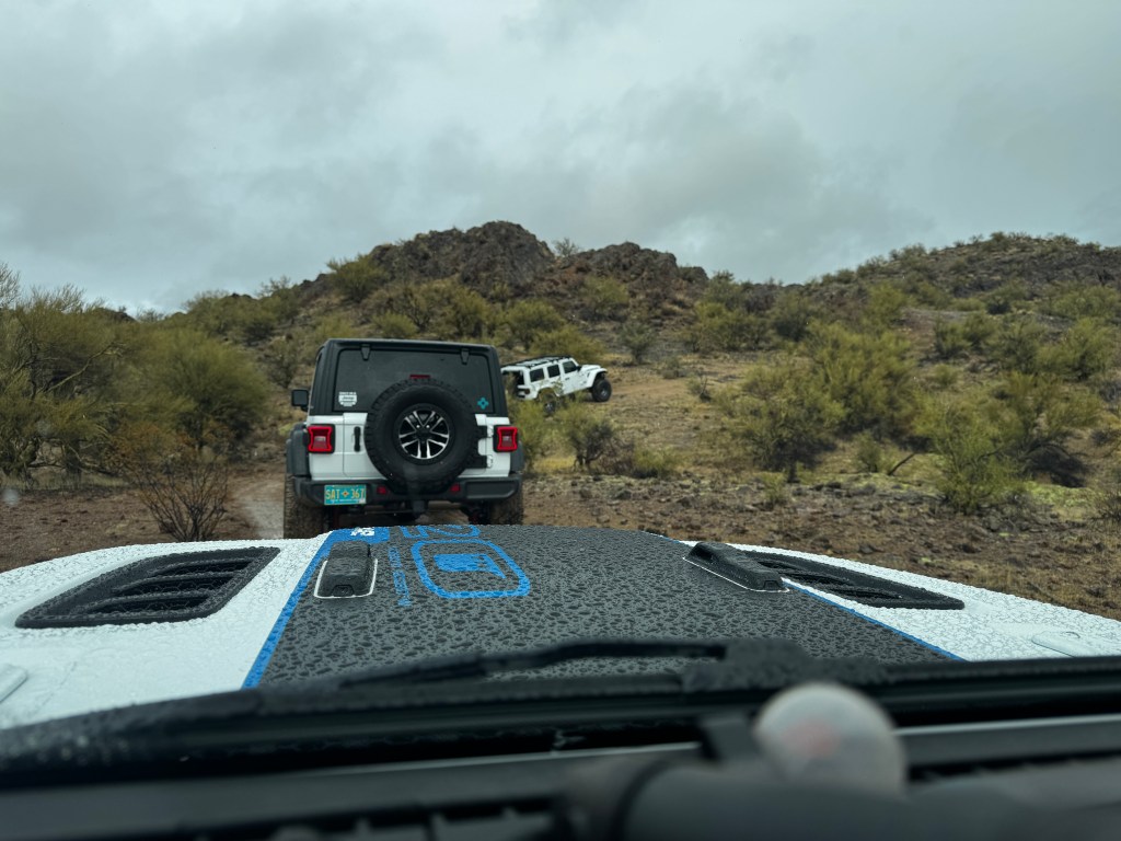
We set out for a celebratory dinner, and chose “Anita’s Cantina,” dubbed a local favorite. We should have taken a clue from the surly old host lurking angrily in front of a photo of Kari Lake and croaking “what do you want?” as we walked in, but I think we were all too tired to change plans and ate what we deemed “serviceable Mexican food” in the shadow of hundreds of political signs, whispering our conversation lest our skin adorn the wall and lampshades.
The next morning dawned bright and sunny, and we googled “apolitical breakfast in Wickenberg.” No results, so we met up at the Spurs Cafe, where you got a 10% discount if you wore spurs-no joke! Men in cowboy hats with faces as weathered as the landscape surrounded us, and our waitress was a cheerful cowgirl with a Dolly Parton drawl. We left full, happy and in a better Wickenberg state of mind.
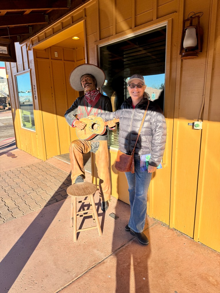
Little Girls in Cowboy Boots
February 17-22, 2025
It’s been unseasonable warm and dry this winter, with no rainfall since November. We’ve had periods of overcast and “virga,” rain you can see falling from the clouds but never making it to the ground. I love it’s other name: politician’s weather.
All this bright sunshine has us walking daily, watching the vermillion flycatchers frolic between the trees and enjoying the play of light across the planes of violet prickly pear. The African daisies are starting to bloom, and bees are drunk on the fragrant rosemary. Spring has come early.
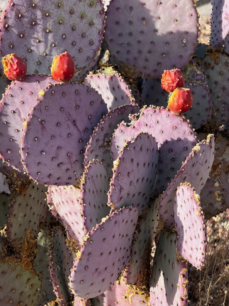
This means great weather for the Tucson Rodeo, which is not typically the case. I can recall being wrapped in blankets watching the Rodeo Parade and scurrying home for hot chocolate. Not this year.
We bypassed the parade this year, having gone the last two, and set out for the rodeo itself. As it turns out, we arrived on children’s day, free to the general public to encourage families to attend. This was every bit as riotous as it sounds…
Fording streams of animal urine as we drove into the parking lot past pens of horses and cattle, we parked in a cloud or red dust. Erich walked to the closest corral to give the saddled horses some love, but they were all business, awaiting their turn at today’s feature event-steer wrestling.

We stood in line for waxy corn dogs and greasy ribbon fries, watching the excitement as a steer got loose close to the crowd of children. Beefy young men sporting CD-sized belt buckles, rushed through the crowd to contain the wayward steer while little girls in pink glitter cowboy hats watched. It ended in another cloud of red dust and a frustrated bellow.

After our lubricating meal, we set out to find Erich a cowboy hat. He’s been on a quest since we arrived, and my antique mall prowling has secured an array of great hats, all too small for him. Unfortunately, most of the serious vendors had taken the day off, figuring that kid’s day was not prime for sales. The quest continues…
Kid’s Day proved great for other things. We got front row seats to steer wrestling, and watched with amazement as the horses galloped past, kicking up clods of earth, and riders launched themselves from their saddles at full speed. Definitely a sport for the young!
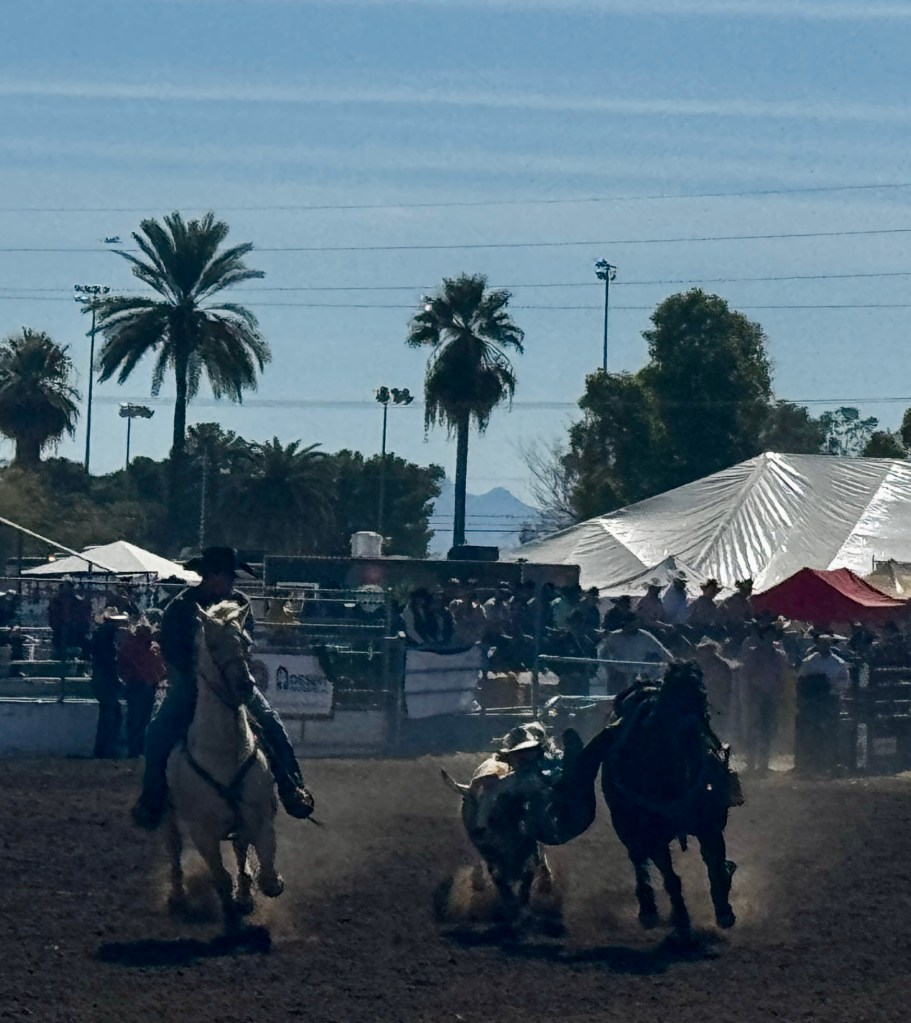
Afterwards, we wandered the pens of the bucking broncos, watching a foul-tempered white mare terrorize her colleagues, who grouped around the edges of the corral gossiping. A friendly veterinarian walked by and agreed that the white mare “was in a mood.” She explained that these horses were competing to go to the national rodeo in December, and the more mean-spirited and irascible they were to ride, the better the score for the cowboy who stayed on. I think we saw a definite contender!
That afternoon, as we walked the dogs around the park near our condo, little girls in cowboy boots ran around the playground. Erich said “I like your boots” to a 7 year old in white mid-calf boots and a flowing white skirt. “Thanks,” she said excitedly, “it’s Rodeo Days!”
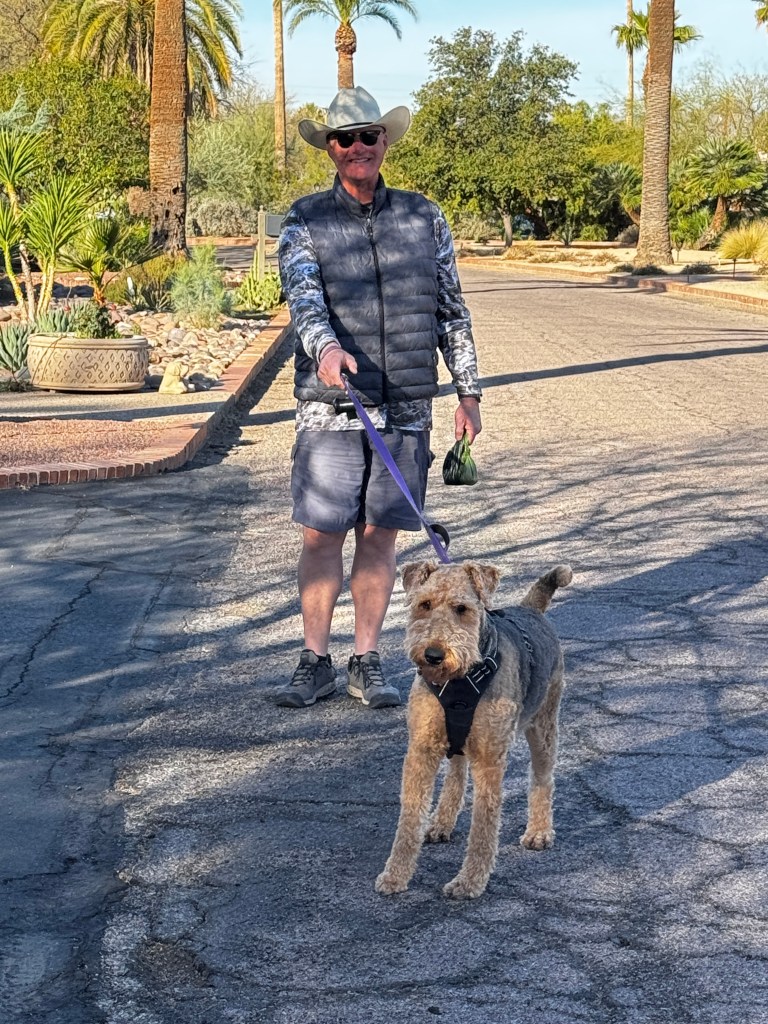
From Tucson, With Love
February 14-17, 2025
Valentine’s Day in Tucson means brings milestones this year-the 100th anniversary of the Tucson Rodeo, and the 250th anniversary of the founding of the Tucson Presidio.
We decided to celebrate with a spate of activities that are classic Old Pueblo.
On Valentine’s day, we headed to Houston Stables. Set in the Rincon foothills just at the perimeter of Saguaro National Park East, it seemed the perfect setting for a trail ride.
Both Erich and I love horses, but haven’t been on horseback together since a wonderful trip to a dude ranch in the Canadian Rockies over 20 years ago. Turns out, it’s like riding a bike, but with aging knees…
Erich was paired with Max, a beautiful paint with Percheron lineage, and I got Biggie, a dappled white standing 7 feet. They were remarkable gentle horses who were both eager to be on the trail, which had us positioned near the front of our group gratefully avoiding the dust that saturated everything behind.

It’s quite amazing what you notice from horseback that you don’t when you are hiking and always watching the ground. We wound through the sandy Tanque Verde wash, a beautiful coyote loping along beside us, and through thickets of mesquite where Biggie tried his best to scrape me from the saddle. Crossing into Saguaro National Park, we climbed a thousand feet from mesquite to saguaro, enjoying expansive views of the Tucson Valley and the Catalina Mountains. Roadrunners and jackrabbits darted through the creosote as we listened to our guides tell us about the Sonoran Desert.
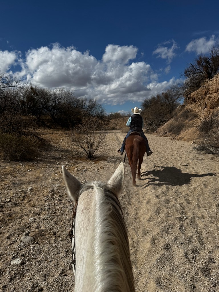
In addition to new tidbits of desert knowledge (if you see a saguaro skeleton standing, it’s frozen to death. If toppled, it died of old age), I learned that it’s quite important to make use of bathroom facilities before a two hour ride. The frequent stops for the horses to pee (they can poop and walk, but to pee they need to stand still) had me writhing in the saddle and fantasizing about the Honey Bucket at trail’s end.
Knees (and other parts) screaming, we managed to dismount with a modicum of dignity, and thank our mounts for a lovely ride.
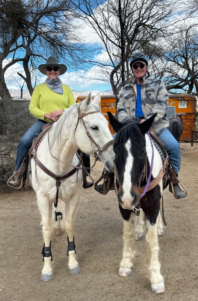
After a well-earned night’s sleep, we prepared for our next outing: An Arizona Wildcats basketball game.
Tucson has no professional sports teams, so the university teams are a big deal, and none more so than the basketball team which has enjoyed great success over the years and is a perennial Top 20 team. This year, the first in the Big 12, they were ranked #13 in the nation and tied for the lead in the Big 12 with University of Houston, ranked #6 nationally. I managed to secure us tickets for this big matchup, and we rode our bikes to the stadium along with a stream of red-shirted fans.
Growing up, I lived 2 blocks from the stadium and would often go to games courtesy of my friend’s father, who was the U of A athletic director. This was in the days of Steve Kerr, an epic college player and 3-point wizard whose every shot was followed by the crowd maniacally chanting his name. And we always had amazing seats…
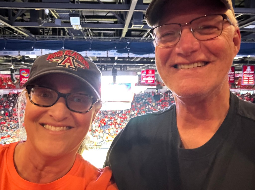
The atmosphere remained electric, but having no remaining connections to the athletic department, we were in the nosebleed section near a very rabid and intoxicated fan. Each time he yelled, which was every 15 seconds or so, the air was suffused with the sweet aroma of alcohol and our eardrums vibrated as though someone turned up the bass. Two seniors with hearing aids sat in front of us, and after turning them off didn’t stop the assault, they moved.
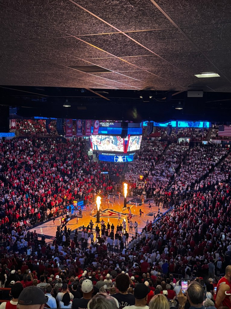
In the end, the fan was shouting expletives as our team lost after a stunning and inexplicable late game collapse. I can’t really blame him.
As we walked the dogs around the neighborhood later, still bedecked in our U of A gear, all the neighbors commiserated with us on the epic collapse. Tucson is still a small town.
To cap our weekend, I had purchased tickets to the Tucson Ballet’s world premiere of “From Tucson, With Love,” inspired by the music of Lalo Guerrero, a Tucson icon and father of Chicano Music.
I’ve always been a fan of ballet, and took lessons until it became clear I: (a) would be too tall to ever be serious and (b) had no natural grace. I’ve always admired the gorgeous lines and weightless elegance of the dancers, and bought us season tickets to the Pacific Northwest Ballet for many years until it became clear that the ballet was not Erich’s thing.
It sill isn’t Erich’s thing. It didn’t help that the seats in the Leo Rich Theatre were too small to accommodate his knees and shoulders, so he writhed through the first two performances of George Balanchine’s “Rubies,” and the pas de deux from “Romeo and Juliet.” An accommodating usher noted his discomfort and allowed him to sit in the row of elite single seats, where he rubbed shoulders (metaphorically only) with choreographer Chieko Imada, whose genius birthed the last performance “From Tucson, With Love.”
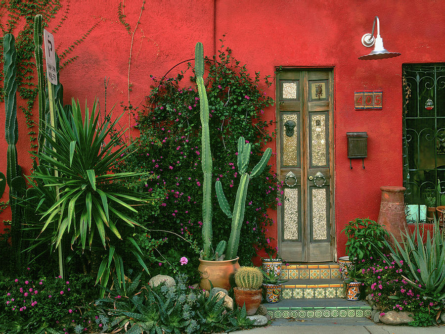
Set to a backdrop of scenes from the Barrio Viejo where Lalo Guerrero grew up and a row of classical guitarists and vocalists performing his works, the dancers swirled in the bright colors of Mexican serapes. The performances were alive with zoot suits, lucious floral headdresses and quinciniera-inspired gowns, along with the occasional cheeky dancing tortilla. Classical ballet it was not, but classical Tucson it surely was. The audience laughed, sighed and gave it a standing ovation. Even Erich loved it.

A perfect way to cap off a perfect Tucson weekend of love.
My Mind, Blowing in the Wind
February 2-7, 2025
Bob Dylan is having another moment with “A Complete Unknown,” but it’s not Timothee Chalamet’s wonderful performance that has blown my mind of late…
Our world is amazing. And not only our world, but our galaxy and our universe!
It started with a routine Saturday trip to the Flandrau Planetarium on the University of Arizona campus-a lovely 10 minute bike ride in the bright sunshine with a soundtrack of birdsong.
The planetarium is another fond memory of my youth, where I fell in love with color experimenting with prisms and attended many a Saturday night light show projected on it’s large, domed screen.
We were there to watch a program on Black Holes, a topic we were anxious to explore.
Within the first ten seconds our minds were reeling: “Our galaxy contains billions of stars like our sun, and the universe contains billions of galaxies. All have a super-massive black holes at the center.”
We learned about supernovas, event horizons, singularities of extremely dense matter, and the warping of the space-time fabric, the theory of which Einstein put forth over a hundred years ago without computers and AI! Staggering back to our bikes, our world seemed different, and infinitely smaller…

Shortly after we regained our mental footing, our dear friends came to visit from Mesa. It’s always lovely to see these two kindred spirits, and we spent time catching up over Mexican food and showing them our favorite haunts. The second night of their stay we had booked a “Night Sky” program at Kitt Peak Observatory, and our poor minds reeled again.
Kitt Peak sits at almost 7,000 feet in the Quinlan Mountains, 55 miles southwest of Tucson and has one of the largest telescope arrays in the northern hemisphere. I’d been there several times in my youth, but only once at night, and in keeping with my youth, my focus was mainly on myself. This time I intended to change my perspective.
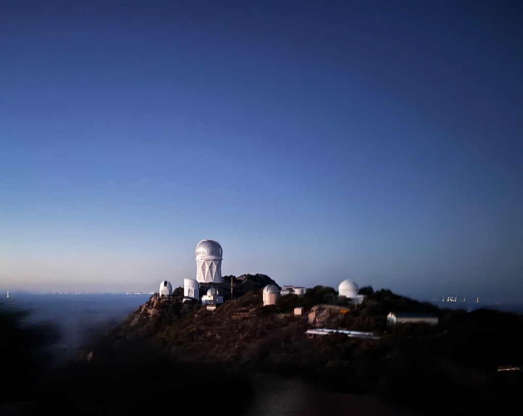
Oh boy, mission accomplished!
We arrived in the late afternoon, prepared for a cool evening with high wind warnings, and were greeted by the guides, recent U of A graduates from the competitive Astrophysics program. Not only were they incredibly knowledgeable, but such amazing teachers! We started by gazing a Venus through a 6 inch telescope. I wouldn’t say the sight was a revelation, but he fact that it looks much like our moon and that you can see it in a bright blue sky was pretty impressive.
After a short orientation and dinner shared with a friendly Mexican jay, we walked to the top of the peak to watch the sunset and get a tour of the array of telescopes. From our perch we could see all the way to California! The tour of the scopes was more a point and explain deal, as they are all in active use by researchers. In fact, we had to coordinate all our after-dark movements such that our light pollution would not interfere with their observations.
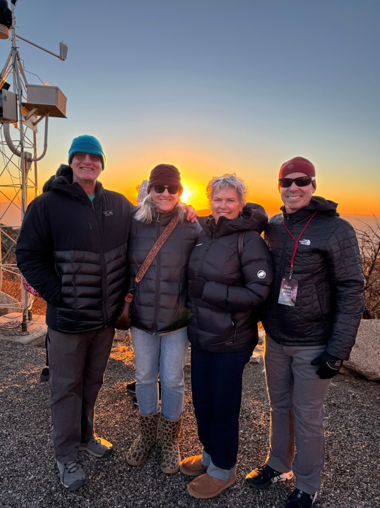
We watched a spectacular sunset, and I even saw the green flash which our Hawaiian friends talk about all the time but I’ve never seen. I apologize, Maha, that I thought you might have been delusional!
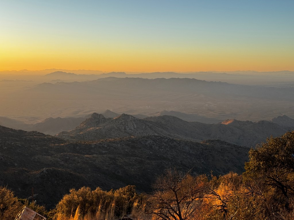
After sunset, amidst winds that were picking up to around 30-40 mph, we drove to “our” telescope for the evening, the 0.4 meter Levine telescope.
The viewing dome is not heated, as the temperature differentials affect the optics in ways I can’t begin to understand, and so for the remaining 3 hours we sat in folding chairs around the perimeter of the red-lit dome, taking turns at the telescope and peppering our guide with questions. The temperatures dropped and the wind howled, playing havoc with the panels of the observation port, but we barely noticed.

We saw the moon in intricate detail-there are mountains in the craters!-along with Saturn, Mars, Jupiter and it’s moons, the Crab Nebula and the Orion Nebula. This last was my personal favorite, a spiderweb of glowing gasses bedazzled by stars.
Back at our car, we sat in reflective silence, waiting for our signal to leave in a convoy when instructed by the guides so as not to ruin the night’s research observations. Some of my remaining brain cells are left up there, blowing about the peak.
After our friends headed home, I was determined to visit the famous Tucson Gem and Mineral Show. This is held every winter and attracts some 50,000 visitors to the city (and explains why our friends paid a premium price for a less-than-premium hotel experience!) It’s celebrating it’s 70th year, and has grown to fifty different enormous venues scattered around the city.
It has wholesale and retail “tents,” and one of my oldest friends secured a pass for me to the wholesale mecca called the “G and LW” Holidome. I set out when they opened, at 10 am, and was almost not allowed entrance as, though registered, I was not accompanied by the business owner. I think the docent saw how crushed I was and had pity on me, or possibly it was as Erich said in his text when I told him I was in: “God help anybody who tried to stop you!”
I emerged into a food court, surrounded by four enormous tents, each about 80,000 square feet, and populated with hundreds of vendors. Who knew there were this many different types of stone in the world? Sellers from every continent and country displayed their colorful wares on a sea of tables that stretched to the horizon. In addition to gems and minerals, there are fossils, beads, jewelry making equipment and supplies, leather and cashmere vendors, oriental rugs and assorted handicrafts. It reminded me of an itinerant Grand Bazaar!
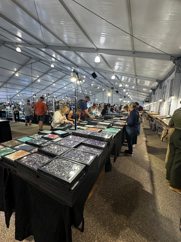
Who knew there was a market for crowns and tiaras?
I spent the day gloriously indulging, taking in the otherworldly colors to the sound of dozens of languages.

In the end, we have an ever-expanding universe surrounding us on a macro and microscopic level, and my mind reels. I bought an Australian jasper pendant that reminds me of the Orion Nebula: To see a World in a Grain of Sand.
Chiricahua Chill
January 19-22
The blades of the windmill flash quicksilver in the morning sun, and it turns with an eerie creak. Phinn stares up at it, stock still with his front paw lifted in what we’ve termed his “thinker’s pose.” It’s his first time at Faraway Ranch in Chiricahua National Monument, and he’s discovering all manner of new things, while Phoebe sighs and walks on-this is well known territory for our girl.
We’ve returned to the Monument before it gets a designation as a National Park, something we worry will destroy it’s laid back vibe.
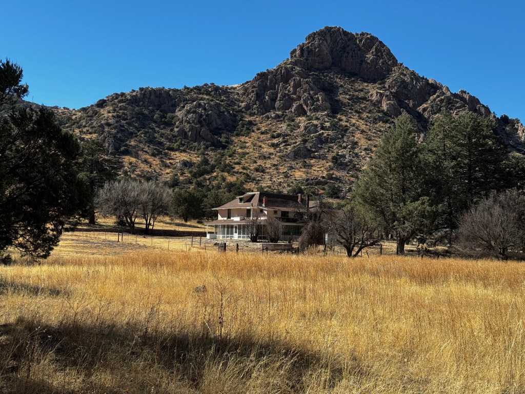
Located in the southeastern part of Arizona 30 miles from the nearest small town, this range of bizarre rock formations is a hidden gem. With only 25 small campsites and a single, paved 8 mile road that winds up Bonita Canyon to a gorgeous overlook, it sees on average 120 visitors a day. It celebrated 100 years as a National Monument in 2024 and is up for National Park designation this year. We’re both secretly hoping congress is too busy infighting to pass the designation, as it’s infrastructure can’t handle an onslaught of thousands of nature lovers.
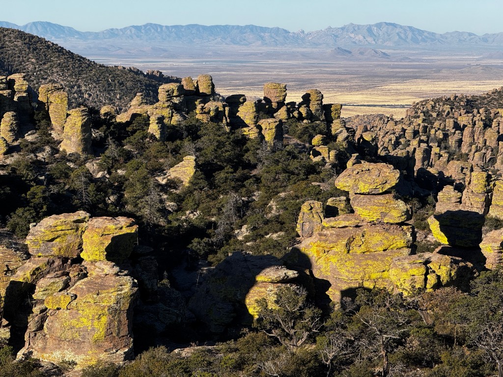
This is the home of one of the seven distinct bands of Apache that made Arizona home since 1400, and perhaps the most famous. Cochise and Geronimo were amongst it’s members, and it was the last tribe to surrender to the superior forces of the United States in the late 1800s. It’s highest point, Massai lookout, was named for an Apache who escaped the train bound for the newly designated reservation in Oklahoma, stole a horse from a settler the canyon, and disappeared into the forest of rocks never to be heard from again.
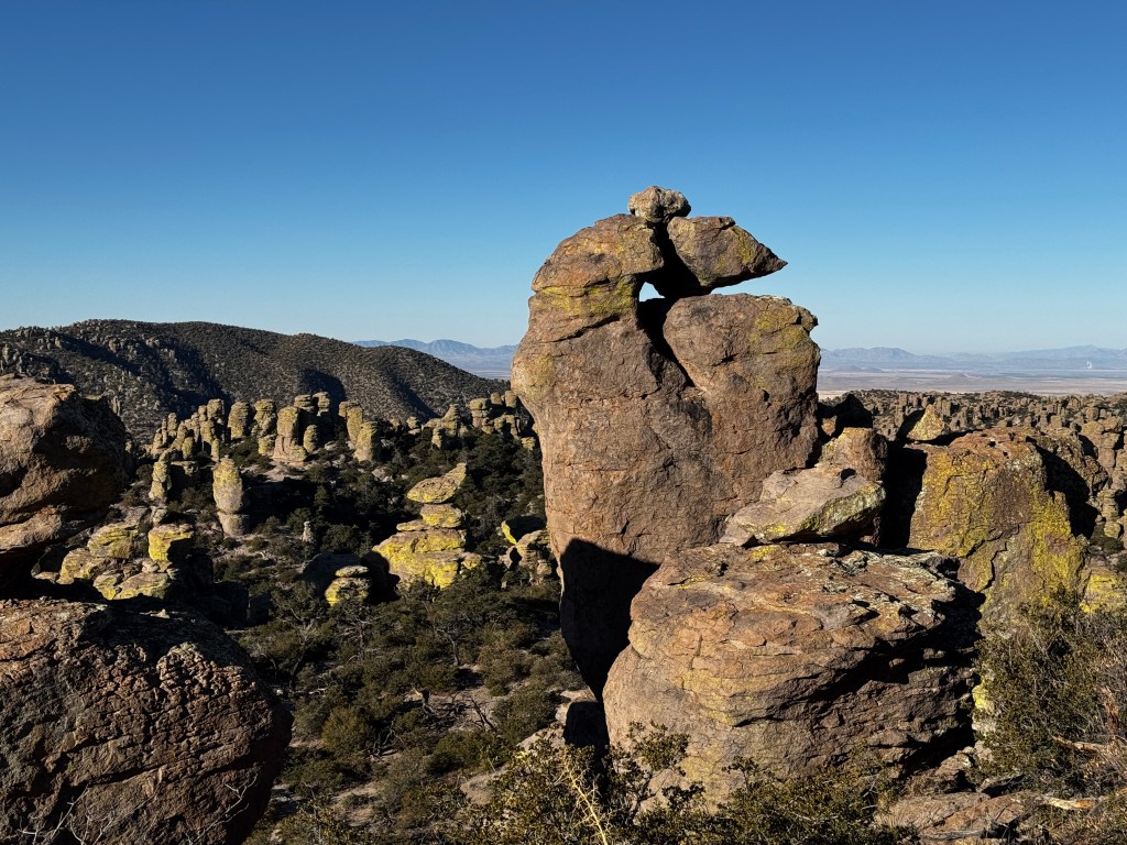
It’s easy to see how one could vanish without a trace in these hills, as even creatures as large as deer are visible one moment and gone the next. Walking the Bonita Canyon trail (dogs allowed!) all manner of scat testifies to the myriad creatures that call the park home, and has Phinn alternatively lifting his paw in query and tucking his tail in fright.
I’m on the hunt for a coatimundi, cat-like creatures with long, striped tails and a talent for looking beguiling in photographs.
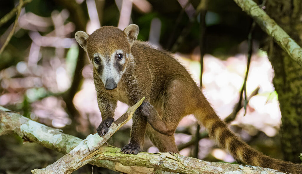
Despite numerous signs, I’ve yet to see one. Perhaps they’re hanging out with Massai…

The trail from Faraway Ranch winds up the canyon to our campground through flaxen meadows and across dry creek beds dotted with boulders and shaded by alligator jumper and white oak. Crenellations of rhyolite top the cliffs, and pillars of stone march up the hillsides beyond. Deer bound through the tall grasses, a coyote’s brazen curiosity makes us briefly wonder about rabies, and a flock of 40 wild turkeys (from which the park gets it’s Apache name) run helter-skelter from a confused Phinn.
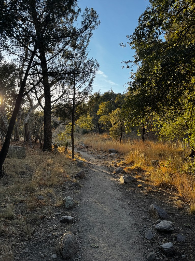
The trail passes the Stafford Cabin, the first non-native settlement in the area. Legend has it that at the time it was built, the area was so rife with Apache raiders that a well was dug within the cabin walls to minimize trips outside.
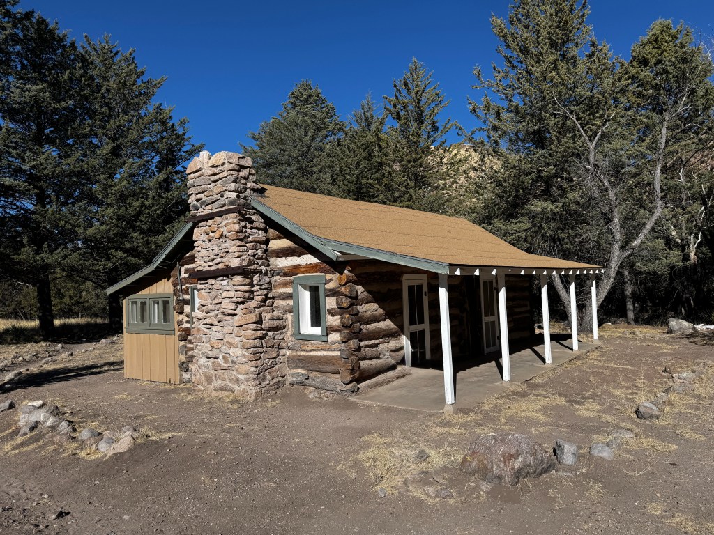
In addition to a dog-friendly trail, there are numerous dirt roads that wind far into the mountains, with more remote campsites that seem rarely used, at least in winter. It was almost worth braving the icy patches to see the views, though it’s not an experience either one of us wants to repeat.

Our campground has cleared out as well, we think due to temperatures that have stayed in the 30s during the day and dipped to the mid-teens at night. Our neighbors, a Canadian family on a 6 month tour of the U.S. in their Okanagan van, departed this morning due to the chill.
Boo has kept us cozy the past two nights, though we have one night left and are worryingly low on propane. I guess we can always huddle in the heated bathrooms until sunrise. On the positive side, the cold, clear skies have been amazing for stargazing.
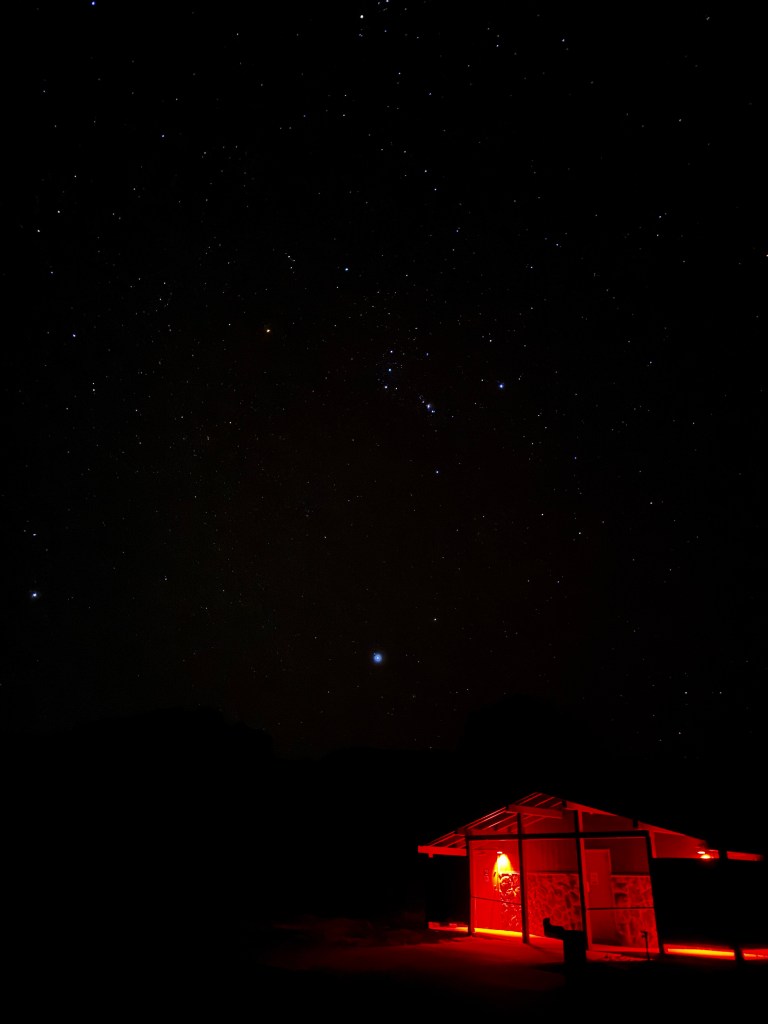
Meanwhile, we’re enjoying the serenity of a nearly empty park and hoping it remains the unspoiled beauty it is.

New Year, New Adventures
January 1-4, 2025
My world of color has been pared to two-red and yellow. Luckily, these two seem to come in endless hues in Sedona and the Verde Valley.

We’re ringing in the New Year camping in one of our favorite state parks. Dead Horse Ranch State Park lies on the banks of the Verde River, and is an expanse of 450-plus acres of former cattle ranch land within easy driving distance to Sedona and Jerome. Over the New Year and with freeze warnings in effect, we assumed it would be almost deserted. Thankfully we booked ahead, because every site is full.
We arrived late New Year’s Day, in time to walk the pups by the Verde River. The cottonwoods have shed their leaves, and they lie in papery drifts of naples yellow beside the trail. Dry winter grasses glow golden in the late afternoon sunshine. The dogs’ explorations crackle and pop, and even a bird hopping on the tinder-dry vegetation sounds like an explosion.
The Verde River’s watery burble gives contrast, though it’s surface too is stained ochre by the reflection of the trees. The effect is one of being suspended in a fantasy of yellow, tethered to reality by a thin whisper of sandy trail.

The dogs’ water bowl was a brick of ice the next morning, but Boo kept us warm and cozy. And we do, in fact, remember most of the warm coziness as both of us were up with wicked cases of GERD most of the night after lapping up the delicious, vengeful, enchilada sauce at our dinner in Jerome. We ransacked every crevice of Boo in search of TUMS, finding interesting odds and ends, but no relief. We were both glad to see morning and the half and half I had brought for my coffee…
We set out for Sedona and pitied the poor souls floating in the hot air balloons today-three of them hung over the valley as our thermometer read 29 degrees! We did envy their view though, as approaching Sedona is always a bit of a revelation. I can’t imagine how majestic it must be from above.
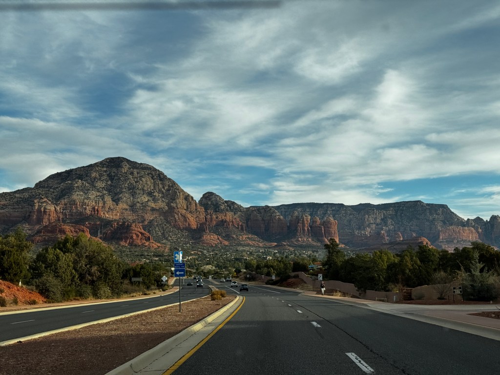
Last we were in Sedona, we watched with envy as the jeeps headed off down intriguing red trails. I do believe I was sold on a jeep then and there, though it took a year to materialize. Now we had one of our own and the first places we wanted to see were the Sinaguan cliff ruins located deep in the red rock canyons behind town.
The road was not difficult, but after 140 days without rain it was incredibly dusty. Luckily we are early risers and had the road mostly to ourselves on the outbound journey. We snaked our way along the bases of the cliffs, which glowed every brighter in all shades of red as the sun rose.
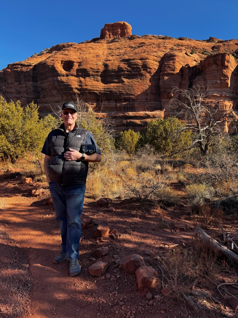
There are two sets of ruins, Honanki and Palatki, both built by the Sinaguan people around 1100 AD. Honanki is deeper in the canyons and no reservation is needed to visit, so we went there first. It was a short hike in (no dogs, of course) and it’s hard to describe the peace of being in these ancient canyons alone, feet scuffing the same trails trod by so many before, hearing the cries of a hawk echoing off the canyon walls.
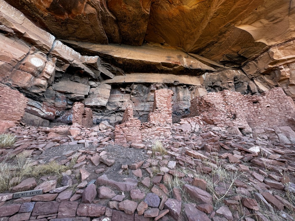
The Sinaguan were farmers, and subsisted on crops of beans, squash and corn grown on the plains below their dwellings. They had extensive trading networks, and feathers from Central American birds and shells from the California coast have been found in the ruins. Petroglyphs adorn the walls, and it’s easy to imagine these peoples sitting under a full moon surrounded by the still prevalent mule deer and antelope.

While Honanki was more of a personal meditative experience, our visit to Palatki (Hopi for “Red House”) was an education. Reservations are needed to tour the site, and it is well worth the dollar fee to learn from the knowledgable volunteers who live at the site.

Among our lessons were that the grinding of corn on sandstone left silicates in the corn meal which wore down teeth quickly-a skeleton of a 30 year old man was found with teeth worn down to the gum line and evidence of numerous dental abscesses. And I, at twice his age with perfect teeth, worry about flaccid neck skin…
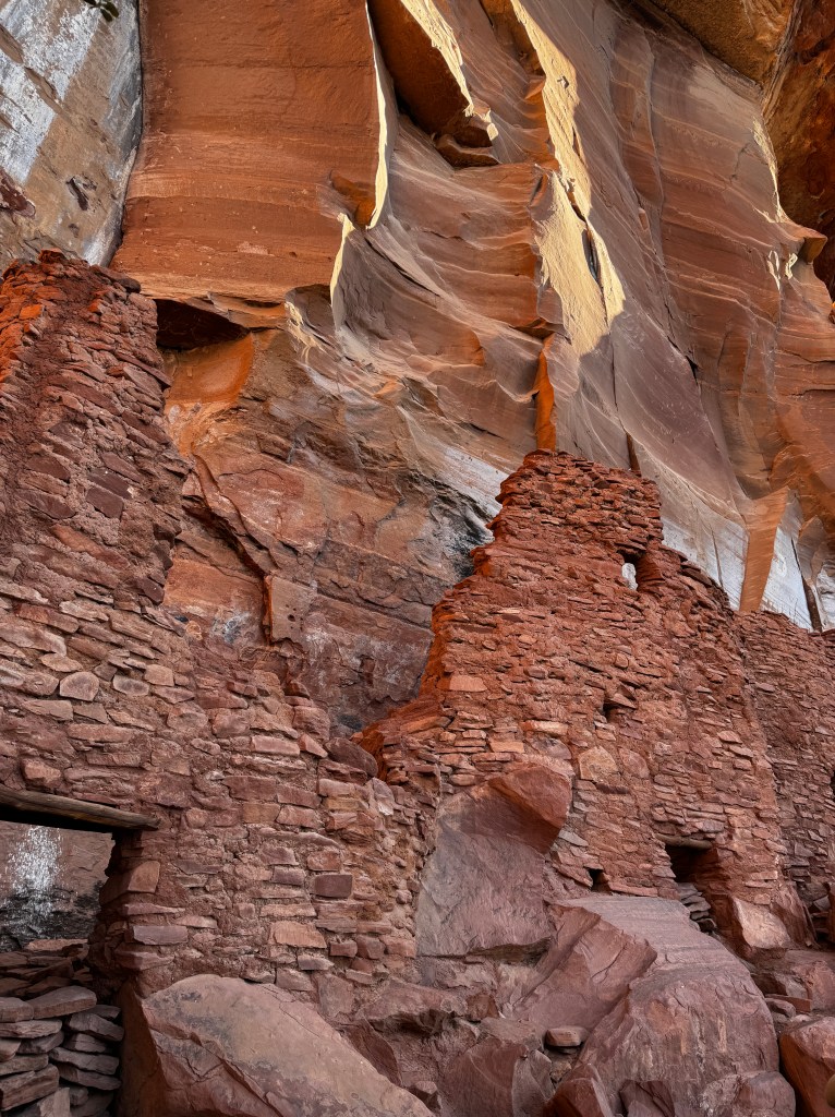
We also got an education about the petroglyphs and their meaning. In a cave known as the grotto, there is evidence of 12000 years of human habitation. Folsom arrow points have been found there, indicating a stop-over campsite for the hunter gatherers thousands of years ago, and everyone since has left their mark on the walls above the fresh water pond that made this area so attractive. Another lesson: the Hopi, who consider the Sinaguan their ancestors, revered the snake as a connection between the underworld where their ancestors reside, and their world, so dozens of jagged lines indicating snakes adorn the walls.

Rain was the lifeblood of the Singua, and so vertical squiggles signify rain. There are also numerous clan markings and later drawings from the Apache featuring horses, which only arrived with the Spanish in the 1500s.
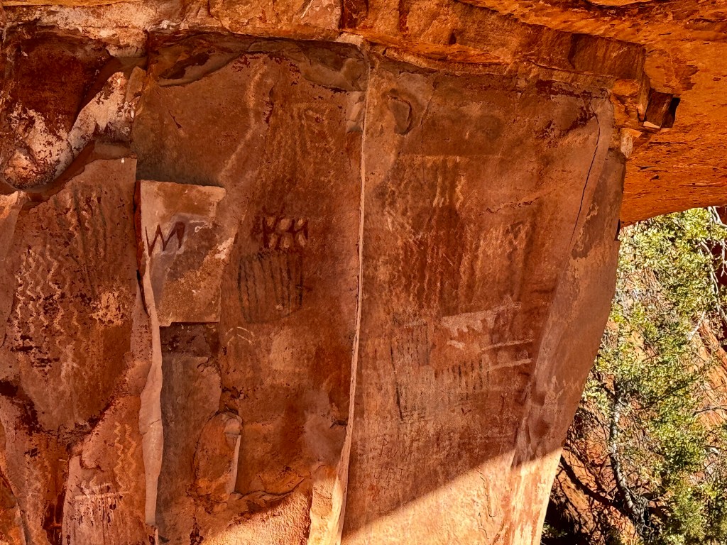
As we left the ruins we contemplated rain-this area has not seen rainfall in 140 days and once plentiful aquifers that extend north all the way to the Grand Canyon are drying up. As we drove the dusty roads, we kicked up rooster tails of ochre dust that caught in everything and we began to worry about our teeth.
The dust did make for vivid sunrises and sunsets, and we sat outside Boo trying to enjoy the tranquility while fending off a feral Phinn from any camper who came near with a dog.
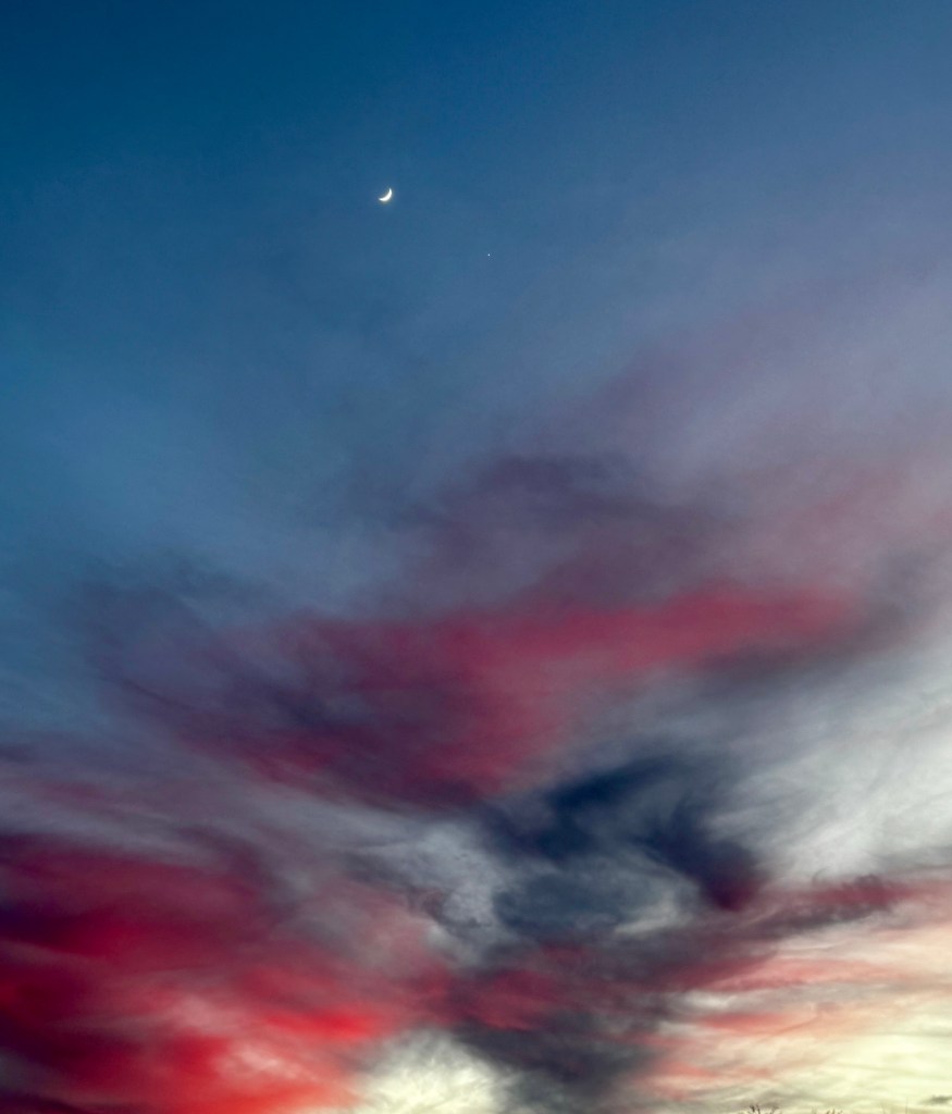
We tried to walk around Sedona, but the paved roads were crawling with people and downtown was a logjam, so we headed for Jerome, the old mining town on Cleopatra Hill. Back in the day, this was one of the richest mines in Arizona and 88 miles of tunnels are dug underneath, making for instability of anything above. They say that no bank will finance a mortgage here as the land is slipping downhill at the rate of a foot/year.
The area also has plenty of ghosts, with the most haunted building being the hospital, now converted to art studios, where over 9,000 people died. There is ghost tour offered most nights, which we will plan for our next dog-free visit.
This time, we drove above Jerome to the remains of the old town of Haynes, now rechristened the ghost town of “Gold Mine.” This is where every old truck in north-central Arizona goes to die, along with the remains of any mining equipment. All of this is scattered in a three street town of old wooden cabins, businesses and the occasional mine shaft, presided over by a large flock of designer chickens.

Modestly concerned about bird flu, we made our way through the site and it’s dizzying array of artifacts. I came away mostly with the impression that mining generates an amazing amount of junk!
We continued on the dirt road past the ghost town, and the scars of mining soon faded. The thin strip of cinnamon that was the road clung to the hillsides with steep drop offs to the Verde Valley, but the view was amazing.
Our destination was the town of Perkinville, a once bustling railroad hub on the now defunct single gauge railroad whose grade we we following. It was a beautiful ride, through red valleys carved from the sandstone, expansive views of Sedona, the occasional curious heifer and calf, and rolling grassland.
The townsite of Perkinsville itself was a disappointment-closed by the state as previous visitors had plundered and otherwise disrespected the area. We tried walking to the site, but were met with “no trespassing” signs and tangles of rusty barbed wire, so we elected to just enjoy the scenery.

A final stop at a dog park just outside our campground took the edge of a restless Phinn and allowed us to build a fire and sink into the velvet evening, relishing our colorful journey.
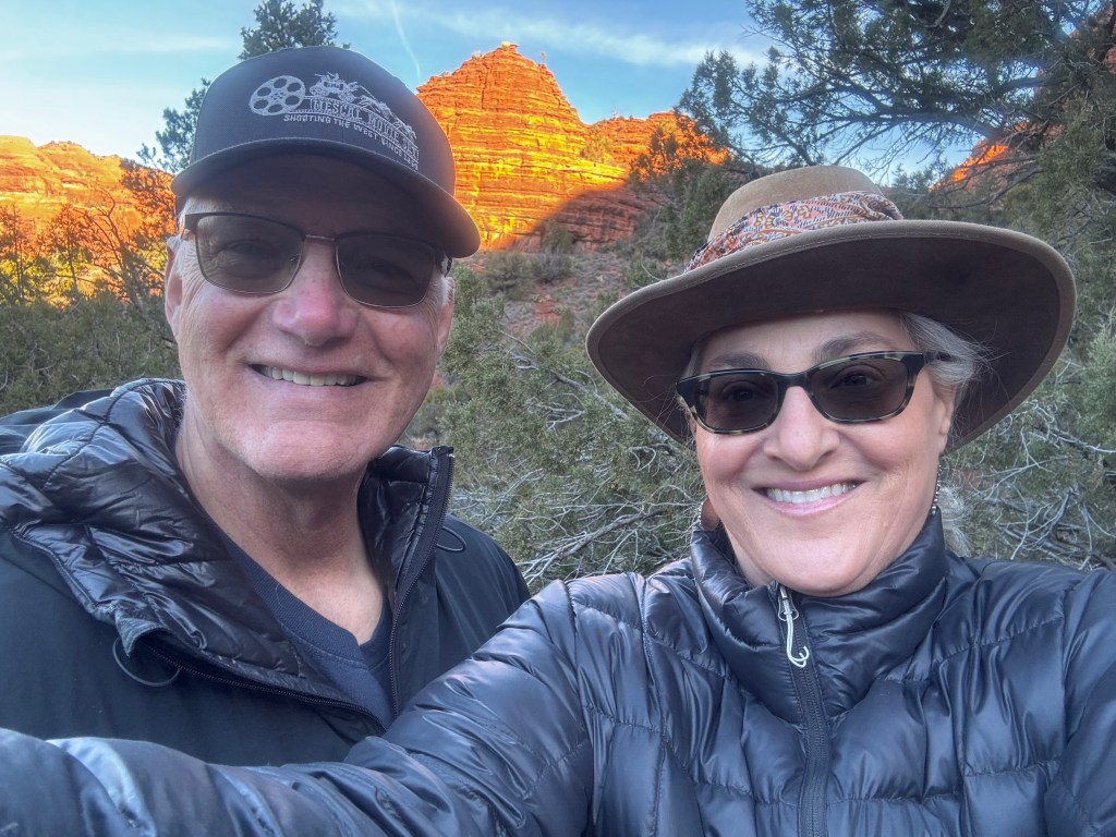
Old Pueblo Christmas
December 25-29, 2024
To my delight, the lining of the streets in our neighborhood with luminarias at Christmas remains a tradition. Though this adds to the festivity of the season, it’s not quite the same without seeing the joy and excitement mirrored in the faces of children. Last year we found this in Old Tucson’s Christmas extravaganza, and this year we set out for Tucson’s “Zoo Lights.”

A new baby anteater has been added to the zoo since our last visit, and the baby elephant Meru, born last March, has doubled in size. It was definitely past their bedtime when we joined the buzzing throng of families awaiting the opening of the gates.
Suffice it to say we got our fill of childhood wonder, and, though festive, the Zoo Lights will not be one of our Southwestern holiday traditions…

Christmas Eve brought gifts for man and beast. Phinn and Phoebe spent the day at Camp Bow Wow, and Erich and I headed to Tombstone without dogs.

We’d never really explored the town leisurely, always worried about the dogs. This time, we did it up! We lingered at the Tombstone Court House, now a state park/museum and gorgeously decorated for the season.
We ate at Big Nose Kate’s saloon and toured the Bird Cage Theatre, so named for the number of “doves” that populated the alcoves above the main floor. It is said that the wooden stairs leading up to these rooms have been worn down to the thickness of a silver dollar in the less than a decade of the theatre’s prime.
Tombstone was once one of the largest cities in the West, and in the 1880s attracted prime entertainment, the latest in Paris fashion, and it is said that even oysters were sold fresh in the streets. Despite it’s definite tourist-oriented vibe, there’s much history to be experienced, and on a lazy Christmas Eve we soaked it in.
We stopped at the ghost town of Fairbank on our way back to town. This was once the bustling railroad hub serving Tombstone, and from whence the fresh oysters arrived. Dust devils swirled on the streets and we were the only visitors. We wandered the sandy streets musing at the rise and fall of civilization.

Christmas Day dawned bright and sunny. In fact, there has been no rain in Tucson since before our arrival. While this bodes ill for the summer, it was lovely to wander the beautiful University of Arizona campus in shirtsleeves. Phinn got his dearest Christmas wish-an unending water bowl!
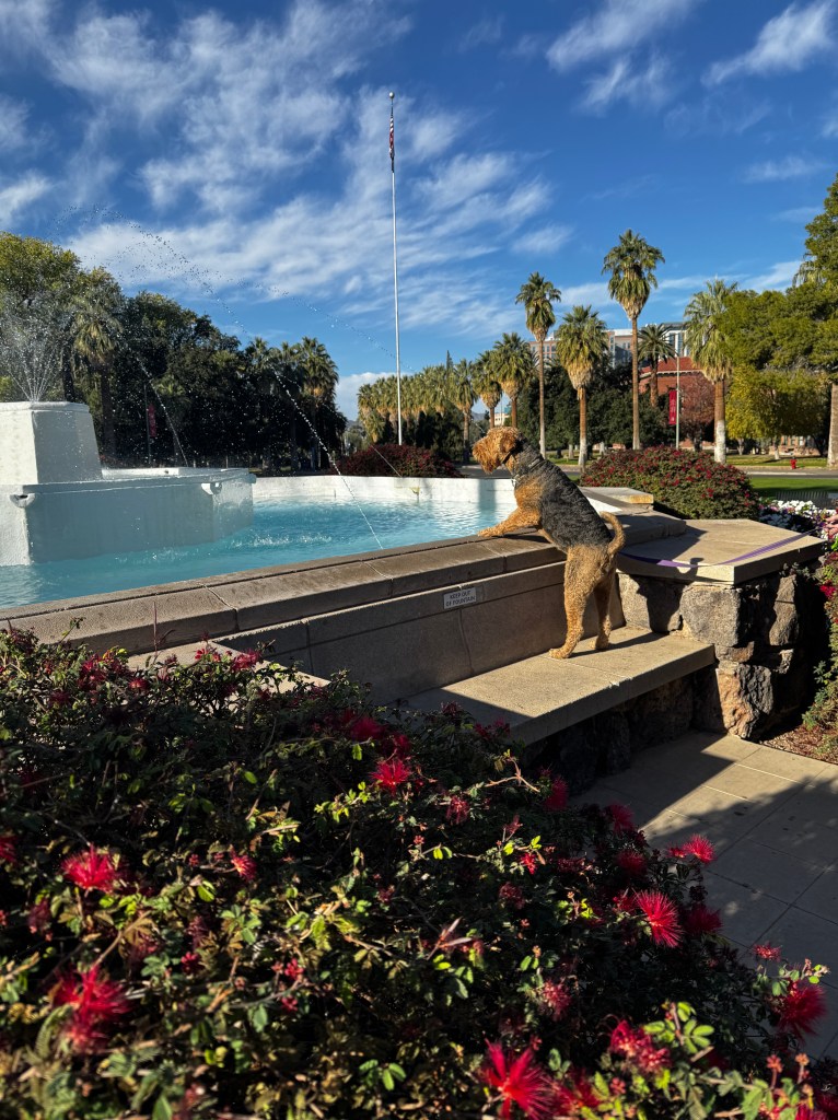
Not quite done with Christmas lights, we booked a tour of the Tucson Botanical Gardens light display. We approached this with some trepidation, as the botanical gardens in Phoenix were magical, and we had very low expectations of much smaller Tucson.
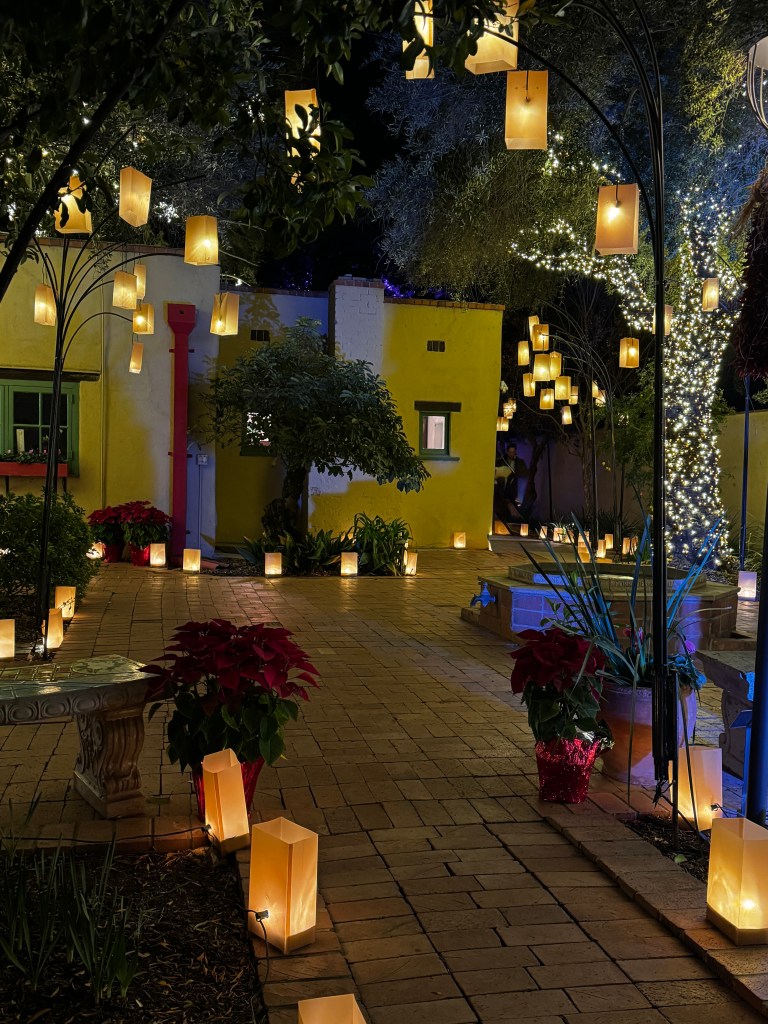
Ah, to have expectations shattered! Though admittedly a much smaller space and a much different experience, the gardens were charming! The docent told me that the arborists begin wrapping the trees with lights in September, and they are only fully removed in March. Needless to say, it’s an intricate display and a feast for the senses!

We wandered the luminaria-lined pathways beneath the twinkling trees, and each area had a different theme-a light show choreographed to the Nutcracker; stained-glass desert animals peeking from the branches; Mexican punched-tin stars and Christmas trees; and art galleries opening to fanciful courtyards and splashing fountains.
The last section was perhaps the most magical- chandeliers of luminarias hung high in the trees leading to a miniature southwestern model railroad of incredible detail. Iconic structures such as the Taos Pueblo and San Xavier del Bac Mission were decorated with Christmas lights and the Santa Fe and Northern trains wound between the structures and overhead on bridges. Children and adults watched this display, mouths agape, and we had our Tucson childlike wonder moment. We will return!
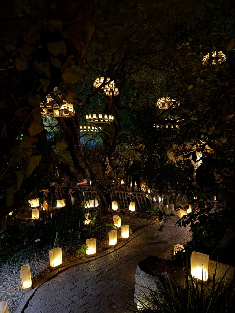
After our visit to Tombstone, we had to watch the 1993 movie “Tombstone,” and to my surprise I really enjoyed it! Unable to sleep thereafter, I was googling the movie’s shooting location and came across the film set of “Mescal.” While Erich-a devoted Old West buff- slept, I booked a tour of the movie set as a Christmas gift for him.
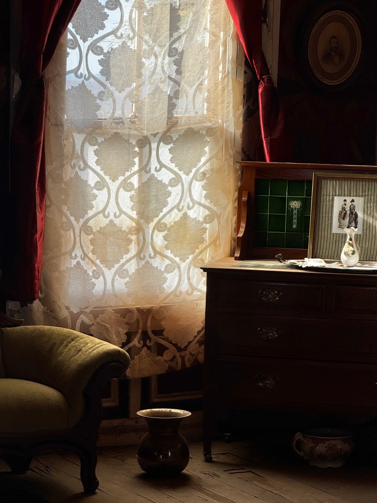
Located 40 miles east of Tucson, the town of Mescal is really just a cluster of windblown trailers and a Dollar General, but on the rise above town sits a mirage of the Old West-the Mescal Movie set.
A dizzying number of movies have been filmed there, but in 2020 the site fell on hard times (as did we all during COVID) and was going to be bulldozed by the state. Three weeks shy of it’s scheduled demolition, the site was purchased as a Valentine’s Day gift, and has been undergoing restoration by a group of dedicated volunteers since.

Hollywood has rediscovered the site, and when not used for filming, tours are offered by the same group of volunteers.
This is not a historic site, as Tombstone is, but it was still fun to walk the streets and explore some of the old buildings, recognizing where various scenes were shot.
We ended our tour in the Owl Club, a well-done fiberglass facsimile of an old brick building, sipping sarsaparilla at the bar and listening to one of our fellow tourists play ragtime on the piano. An unforgettable Christmas gift for us both!
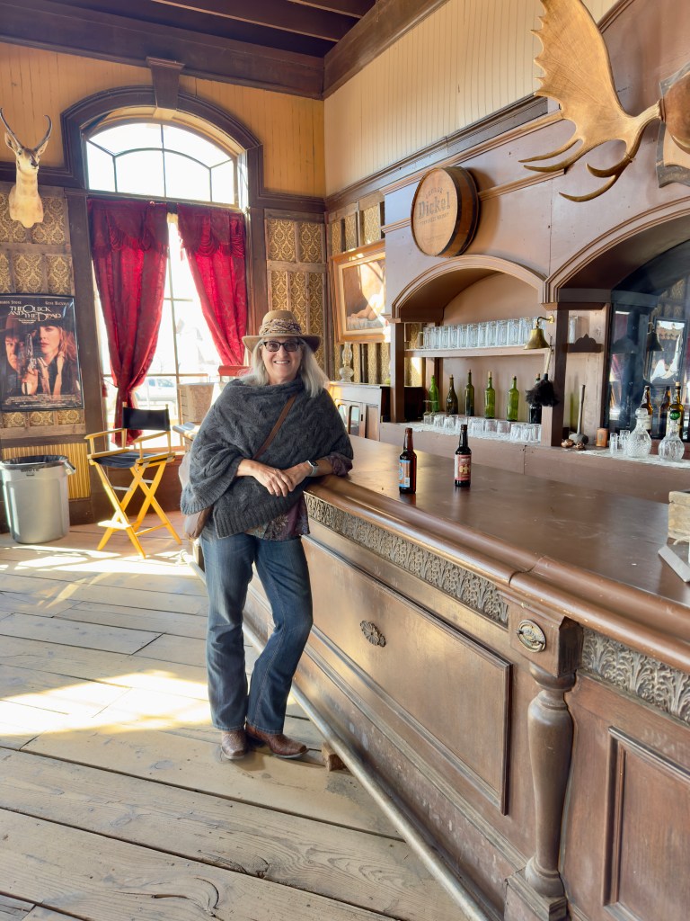
Lost in Luminarias
December 15-16, 2024
Growing up in Tucson, Christmas always meant luminarias.
A southwestern tradition of brown paper bags lit from within by candles to provide a glowing amber light, they appeared as if by magic on the tops of adobe facades and along walkways after Thanksgiving.
My childhood neighborhood had a tradition of lining the streets with them on Christmas Eve, and my mom always decorated our front porch and walkway.
So, when our dear friends in Mesa asked if we would like to join them for the Desert Botanical Gardens “Las Noches de las Luminarias” this year, the answer was obvious. It’s hard to think of the holidays in late summer when tickets went on sale, but our friends assured us that the event is always sold out, so we reserved in September.
This came with the added bonus that we had to find somewhere for the dogs to stay overnight, and forced our hand to get them into doggie day/overnight care. It’s always a bit nerve-wracking to schedule interviews for Phinn, so we have put off finding a place in Tucson, but he managed to charm them at Camp Bow Wow, and so we had our first Phinn-free night since August!
The scale of the Phoenix area always surprises me-tangles of freeways lined with newly-minted strip malls and seemingly thousands of restaurants. How do they all manage to stay in business?
We met our friends at their favorite local Italian restaurant and we had a lovely outdoor lunch catching up on our past year- theirs filled with travel, museums and adventure on East Coast, ours filled with Phinn…We didn’t realize how much he had impacted our lives until they asked where we had been. Other than our one abbreviated sailing vacation, we’ve been fur-bound!
After lunch we toured their winter home-a spectacularly appointed RV docked in a bustling community. Homemade orange-mango ice tea in hand, we took a golf cart tour of the dizzying amenities. So many classes, activities and outdoor venues! I would never be at home…
After checking in to our hotel in Old Town Scottsdale, we joined our friends as the sun slowly sunk towards the horizon and the luminarias flickered to life in the gardens.
I was charmed before we even reached the entrance. Chihuly sculptures of enchanting giant agaves glowed in the gloaming, and an entire Christmas tree of succulents graced the foyer.

The music of carolers drifted from inside, my first indication that this was to be a multi-sensory experience!
Luminaria-lines pathways led from one venue to the next, each hosting an entirely different experience. We listened to a sublime folk singer, A J Odneal, under a ramada decorated with sparkling tin stars and were transported to the the Orient by the music of “Traveler,” featuring an oud, while the art installation “Light Bloom” by Hybycozo painted the desert a Moroccan reverie.
We dined on green chili while listening to the subtle velvet of “Vinyl Station,” who performed the most enchanting version of “Sound of Silence” I’ve ever heard, and listened in awe to the Spanish guitar duo of the Sahnas Brothers as the full moon rose to to complete the magic.

The garden is huge-55 acres-and we wandered through more “Light Blooms,” met well-mannered barn and great-horned owls, and found ourselves near closing time at a ocotillo ramada where Tony Duncan performed sublime Native American flute music. Our ticketed entry was for 5:30, and time passed in the blink of an eye. At 9:30, Apache storyteller Ken Duncan took to the ramada following his son, and closed our enchanted evening with a story of how the stars came to be, ending with “and that is why coyote forever howls at the night sky.”

We wandered back to the car, each lost in our own thoughts, as the full moon glowed overhead, listening for coyotes…

Phoebe’s Purple Haze
December 1, 2024
Every dog has it’s day, and lately Phoebe has been having hers.
She greets us each morning bucking and smiling, seemingly delighted to be alive. We credit our new Purple mattress.
In my ongoing quest to consolidate three housefuls of sentiment into one small condo, we’ve been slowly ridding ourselves of my parents’ decades-old possessions. Most recently, this has included two double beds of 1960s vintage for one new king-sized one.
Clearly, it’s been a minute since we priced mattresses in Tucson, but who knew the price of these things was so high? I guess I should have been clued in by the incessant ads for them, but I wasn’t prepared for the sticker shock we experienced. There must be some sort of price-fixing mattress cartel…
As we toured the local Mattress Firm with our dedicated “mattress concierge,” we felt like we were buying a car! Succumbing to the argument that we spend a good portion of our lives in bed, and didn’t we deserve to treat our bodies well during this time?, we purchased a pricey Purple mattress.
It arrived this past week, along with a care kit that included a palm-sized replica for a mouse pad (or in our case, favorite Phinn chew toy) and a logo-emblazoned letter opener (my favorite thing so far about the whole purchase).
While Erich and I have been dealing with recurrent kitchen plumbing issues that have us on a first name basis with Kevin, our Silverado plumbing technician, Phoebe has been napping on our new mattress.
Despite her newfound morning energy, she’s been difficult to rouse during the day. It takes all of us coaxing her out of the bed to go for walks during the day-she squints up at us, sighs, and rolls out of bed as though she’s being pressed into a chain gang. Once up, she’s full of boundless energy, leading the walks and tugging at her leash.
Yesterday, while she napped, we dealt with a series of annoyances. First, we dropped off my Jeep to have some off-road upgrades. We got a call 30 minutes in to the appointment with the unwelcome news that “we really screwed up.” The shop had punctured a compressor and we now had to contact our local dealer for repairs. In the meantime, the car is not functional, and the repairs could take days…
We decided to go for a bike ride to calm our nerves. The University of Arizona was playing ASU at home in the Territorial Cup rivalry, and it’s always fun to go take in the vibe of the tailgates and collegiate spirit.
We returned home to find our kitchen sinks and dishwasher backed up with something that looked like greasy minestrone soup. Kevin was summoned for the third time, and his pipe snake broke while trying to clear the drain. The company does not work on Sunday, and they have to repair the snake in any case, so that could take days…
So, we wait with a non-functioning car, afloat in Minestrone. Meanwhile, the Territorial Cup was a 49-7 blowout of our home team and fans were walking back with the large “Number One” foam hands doctored-the index finger transposed to the middle finger. I can relate. I’m joining Phoebe in bed.
Giving Thanks
November 28, 2024
I have a special reason to be thankful today. As happens every few years, Thanksgiving and my birthday coincide this year. While I’m not a huge birthday celebrant, this year it gives me pause.
We’ve been in the third iteration of cleaning out the overstuffed condo since our arrival, and I came across a picture of myself as a young woman. As I looked at that youthful soul, I wondered if she ever imagined the amazing things life had in store for her.

I’m sure at the time I was focused on how unattractive I felt I was and if I would ever find love, which seemed to be main teenage foci. As they say, youth is wasted on the young…what vanity!!
Who would have guessed at the wonderful things that lay ahead? Meeting a wonderful partner and discovering friendship and shared adventure is even more important than romantic love; Traveling the world and realizing how lucky we are in our country; Being privileged to enjoy not one, but three careers in medicine-internist; administrator and dermatologist-and meet lifelong friends along the way; The opportunity to retire early and explore life in so many different ways…
As I write, Phinn and Phoebe are curled up near me, our lovely tin Mexican Christmas tree glows on the mantle, Erich is busily editing photos in his den, and I’m looking forward to a day of sun-soaked walks, reading, painting, playing guitar and planning our next adventures.
My young self would have been appalled to think I was living right back where I started-not only in “dead-end” Tucson, but in the selfsame condo I lived in during medical school! To her, that would have seemed a failure. To me, it is bliss.
So today, age and reflection combine in gratitude and I feel so very blessed.
Mid-Century Modern in the Mojave
November 12-13, 2024
Descending into the bowl dotted with giant white windmills and surrounded by barren mountains, you know you’ve arrived in the Coachella Valley. Home to the chain of winter retreats of “Palm” everything to Indio, we had never stopped here before, but every photographer has his price!
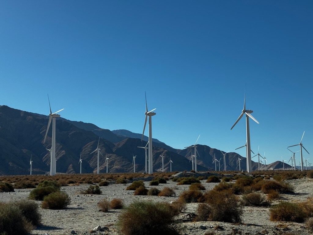
My photographer was promised a box of antique cameras by his considerate ex-wife who now lives in Palm Springs with her husband, so we opted to stop and visit. Awkward as this may sound, we had a wonderful lunch together, laughing and bonding over the antics of Brandon, Krissy and the grandkids.
While Erich rifles through his loot of old Brownie cameras and bulb flashes with actual intact old bulbs, I’m sitting by the fire and writing my final entry of our journey south. We head to Tucson tomorrow morning.
The drive from Temecula to Palm Springs only took 90 minutes, so we still had a few hours of daylight after we arrived yesterday. Knowing we would be downtown today, we decided to revisit Joshua Tree National Park yesterday.
What a difference! Out first trip there in December of 2022 coincided with school winter break and the park was wall-to-wall people quite literally crawling over boulders. This time there were few other cars on the road with us, and you truly got a feel for the expanse of the place. One could envision the Mormons coming upon this place with it’s bizarre twisted trees, thinking they looked like biblical Joshua with arms outstretched in prayer leading them westward. Or perhaps they were just exhausted and low on water.
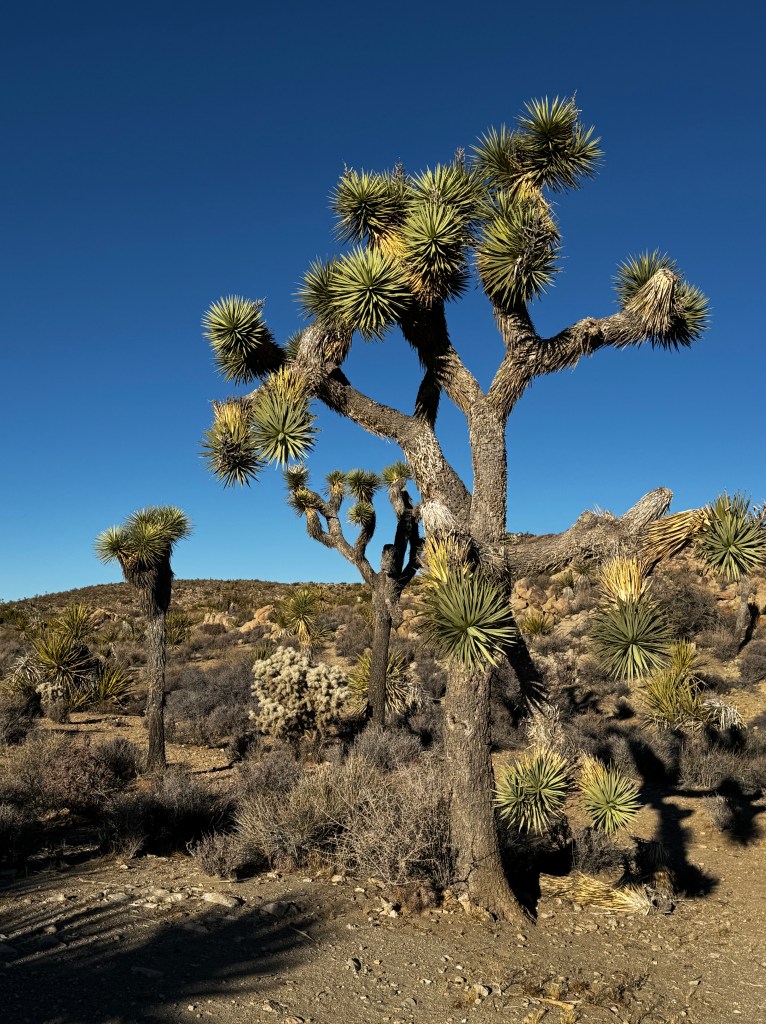
Of course with the pups we are limited to developed areas, but no one was on the dirt roads leading to the back country trails, so that’s where we headed. The roads were bone dry washboard this time around, but driving my Jeep at 20 mph you could barely tell.

We walked the pups as the shadows grew long and a waxing gibbous moon rose in the east, then packed up and headed back to camp.
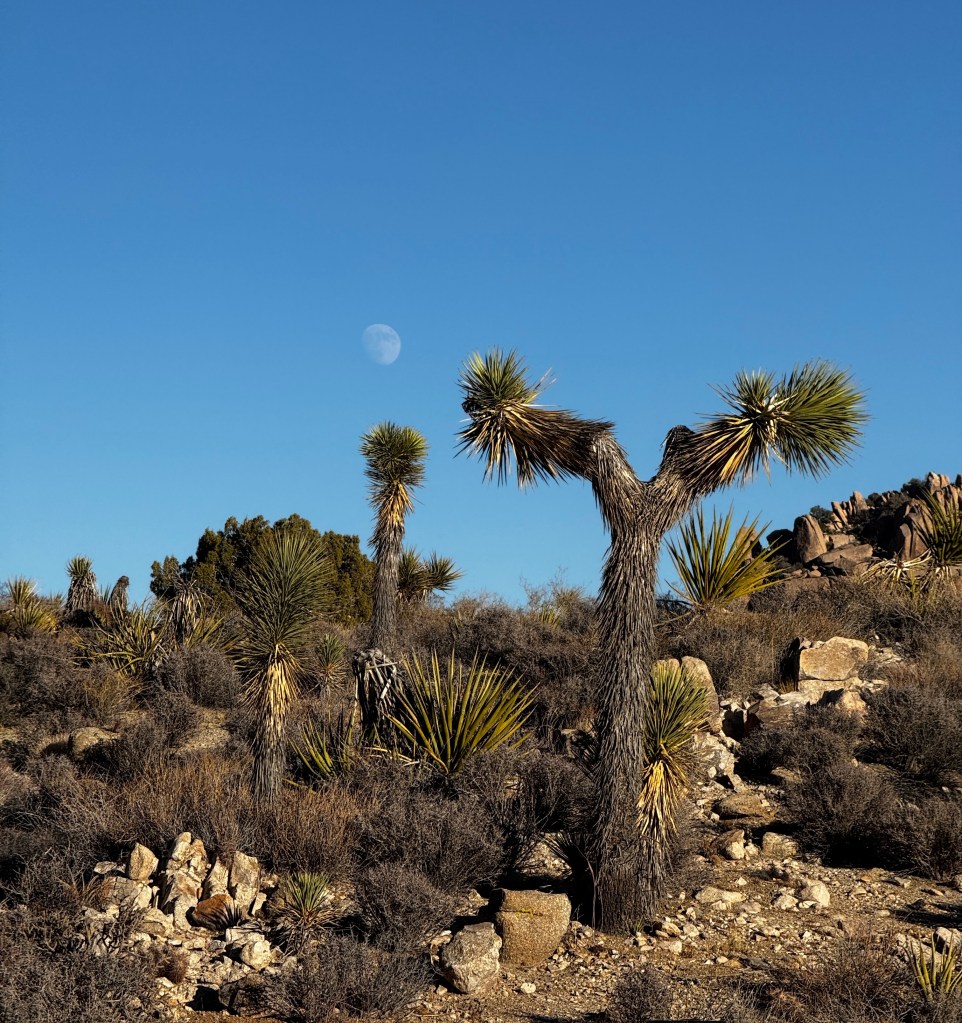
Coyotes sang in the depths of night, waking Phinn whose Coyote is iffy. He sat in perfect silence listening, while Phoebe groaned and rolled over. She’s a southwest veteran now and understood-same old stories of love, hunger and loss…
The sun quickly burned off the morning chill, and we headed downtown in short sleeves with the windows rolled down and dog heads hanging out. Of all bizarre things, we stopped at a light next to a truck with another airedale about Phinn’s age looking out, maybe three feet away from him. A few seconds of stunned silence was followed by an explosion of writhing fur and crazed barking, and we each tried to move as far away from each other as traffic allowed. Nice to know we’re not alone.
Windows now rolled up, we drove through downtown more peacefully, taking in the palm-lined streets that lead right up to the base of the San Jacinto mountains, and the mid-century modern vibe of coral doors and white brick fretwork.

Lunch was at a lovely outdoor cafe in the vibrant heart of downtown, and as I sit beside the fire awaiting the SpaceX launch from nearby Vandenberg Space Force Base to light up the night sky, I begin to see the allure of Palm Springs.
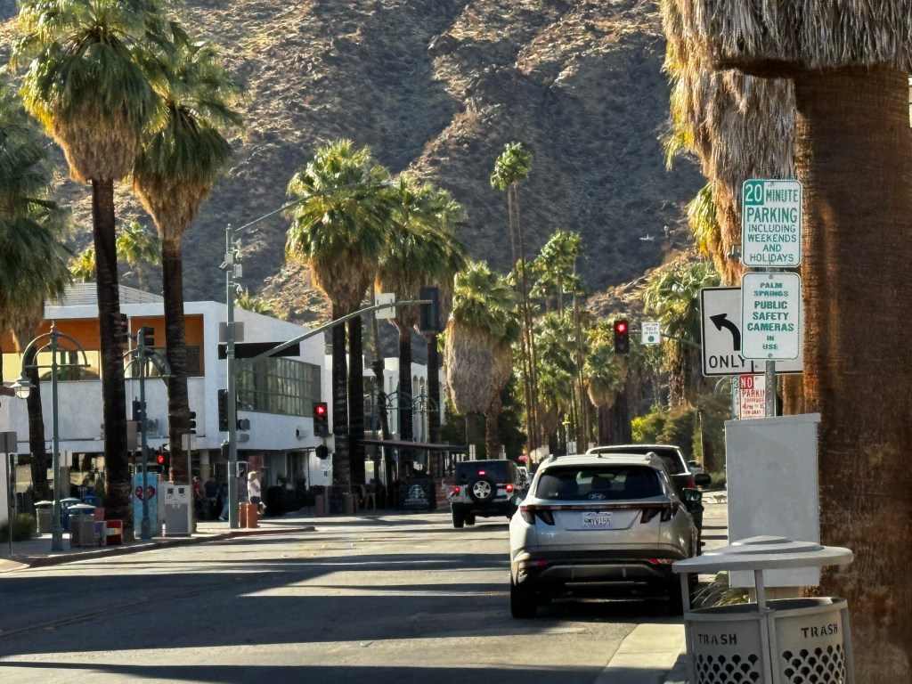
Temecula…aaaah
November 11-12. 2024
The frost-heaved roads of the Yukon have nothing on the aging mesh of freeways around LA.
We hit the renowned juggernaut of traffic on a Sunday morning, so it was light on jams but oh-so-heavy on potholes, choppy pavement, unanticipated canters and vanishing lanes. Boo shed her bathroom door handle again and her insides looked like she had been on a drunken binge.
We pulled in to Temecula to bright sunshine and smooth pavement-sweet relief! We were here to visit friends, and I had never heard of the area let alone visited before, so it was a delightful surprise to pull into our campground amidst more rolling golden hills and shady glens.

Being Veteran’s Day weekend, the camp was packed and we dodged many a little girl in Barbie pink mini-jeeps towing watchful dads on skateboards en route to our campsite. The roads wound through more shaded valleys and crested a rise to emerge in a barren dust bowl crowded with RVs squeezed in side to side, Our site was in the middle of the mess, and we looked forward to a few days of wrangling Phinn and avoiding valley fever.
Still, we determined to make the best of it and spend as little time at the campsite as possible. Turns out that was easy to do, as our site remained occupied for hours after our arrival…
Erich finally convinced me that we needed to complain, and we were issued a new spot in Chardonnay Mesa, which was just as lovely as it sounds! As we set up camp overlooking the hills, hot air balloons floated in the distance, and our LA stress melted away with a cool drink under a shade tree. Blessings to those selfish campers who failed to vacate on time!

The next day, we visited our friends’ new, lovely home and her pup Barley greeted us like a long lost friend and showed Phoebe and Phinn the ropes of living in a sunny climate.

While Erich minded the pups, we set out to explore the wineries of the region. Who knew this area had over 40 vineyards? Each had their own lovely tasing room set amidst grapes stretching to the horizon.
I’ve never been much of an oenophile. I enjoy red wine and the occasional white, but ask me about hints of cherry and leather and I become intimidated and zone out. The first winery we stopped at seemed to read this in my face immediately, as we lingered at the tasting counter without even a nod of acknowledgement. My more seasoned friend guided me to the door and said “I know where to go.”
Turns out there are wine memberships to the area vineyards, and the snooty one we just tried was new to her. Her family had a membership to “Monte de Oro,” and there we were welcomed like family.
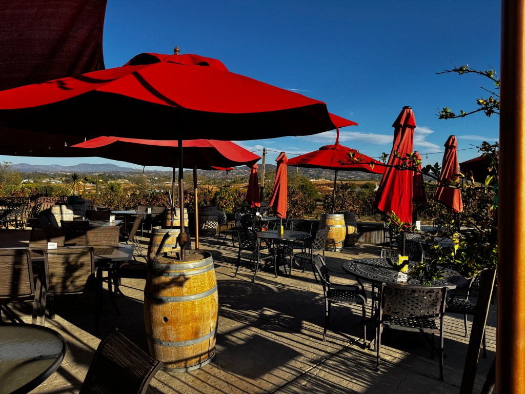
It sits on a breeze-cooled hill with it’s acres of vines falling away down the slopes. Crimson umbrellas shade a flagstone porch just outside the tasting room, and we had what felt like our own sommelier in Mary who guided us through our tasting. We emerged with wine in hand (OK, maybe bottle in hand) to sit on the patio, chat and marinate in wine, truffle fries and pistachio roasted Brussel sprouts. A magical afternoon!
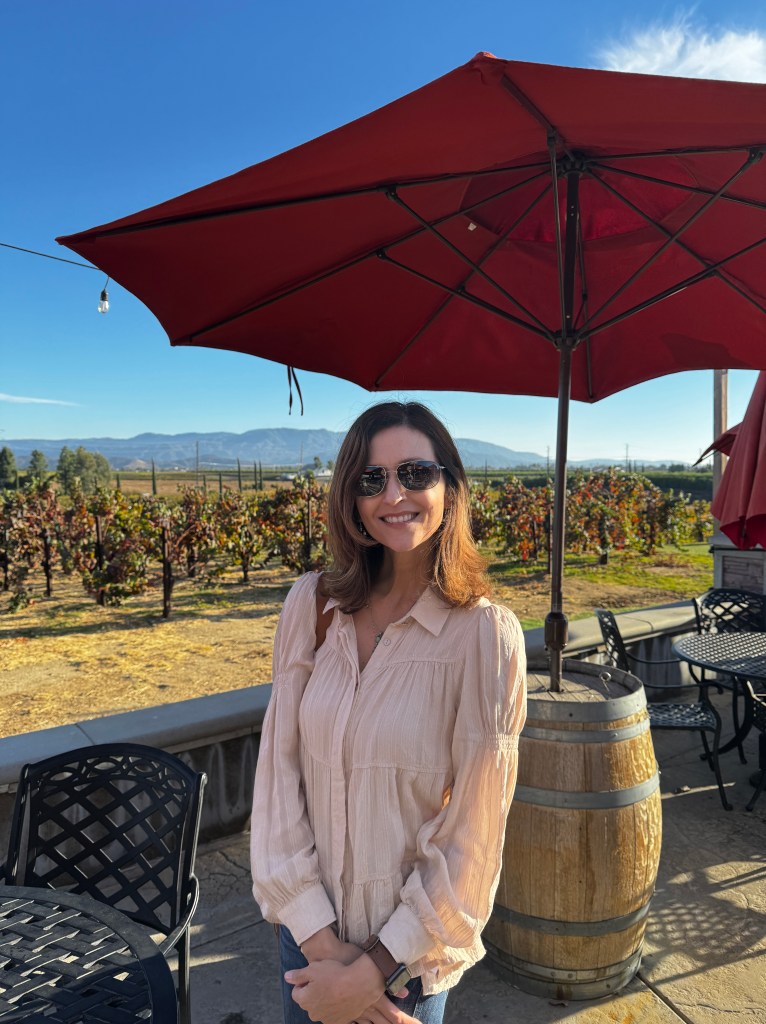
A second friend materialized to drive these tipsy tasters back to our campsite, armed with a charcuterie platter! We sat above the hills as the sun set, enjoying wonderful food, more good wine and great conversation. We stretched the night as much as possible, roasting s’mores around the campfire, until smoke and chill combined to end the evening.
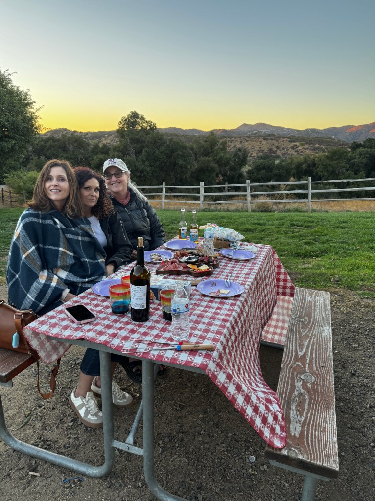
Balloons floated above the vineyards again in the morning, and I set off to Old Town Temecula for a farewell breakfast. A combination of old western-style wooden buildings from the time the town was a stop on the Butterfield stagecoach line in the 1850s, and more modern hacienda-style architecture, the downtown is charming! Restaurants and boutiques line the streets, and we enjoyed an epicurean bruch in the welcome glow of an outdoor heater, then explored a charming gift shop and the epiphany of blood orange olive oil combined with vanilla balsamic vinegar.
I hugged my friend goodbye and left Temecula with a golden glow-so glad she landed in such a paradise.
And now, something completely different…
November 9-10, 2024
We bid farewell to the Pacific Ocean yesterday, taking in a few more views before our departure from Carmel. At a stop appropriately called “The Restless Sea,” we watched with a few other couples as waves broke forcefully, at one point building so high off shore that we all looked at one another and asked whether we should photograph or run. “Is this what a tsunami looks like?,” asked one woman.
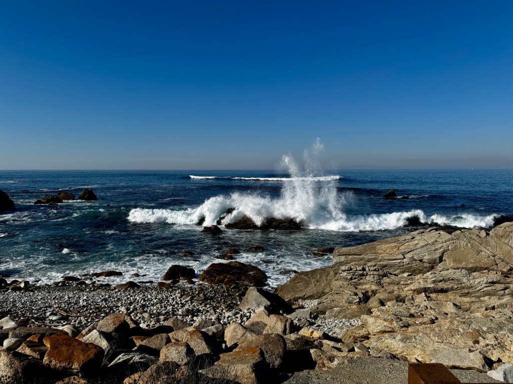
The lovely sun-bleached California hills rolled away as we climbed out of the Carmel Valley and joined the Camino Real, otherwise known as Highway 101. It’s hard to imagine de Anza trodding this stretch in the 1700s after starting just south of Tucson, but it seemed the road was probably of the same vintage as Boo was bumped around until her bathroom door handle shook loose!
We passed fields of produce being worked by mainly Hispanic men, and mused about how many were legally in the country and what would happen to the food supply if plans for mass deportation materialized…
The land became dry and flat, and interspersed between the produce fields were hundred of oil derricks bobbing maniacally.
Just outside of Bakersfield, and in the direction of our campground, a tornado of smoke billowed upward-fire at an industrial plant a few miles from our overnight stop.
Options for camping in this part of California are limited, and we have stayed before at the Bakersfield KOA for convenience. It’s main attractions are it’s laundry facilities and it’s clean restrooms (presided over by a jovial Spanish-speaking/singing duenna: again, what happens if she’s deported?). We lazed in the sun, walked the dogs around the cracked, sun-baked asphalt, did loads of laundry and put in earplugs overnight to mute the traffic noise and what Erich thought were gunshots.
And missed the redwoods.

Mindfulness in Motion
November 7-8, 2024
We spent the remainder of our time in the redwoods in a golden glow. The leaves are changing and the massive trunks are bedazzled with the crimson of poison oak. Ash, alder and big leaf maple are vibrant shades of lemon and erupt in a riot of confetti when the wind blows.
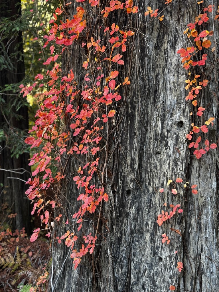
We found an isolated spot by the Eel River where the pups chased sticks in waters reflecting amber, and the sun thawed our shadow-chilled skin.
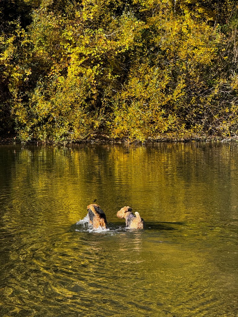
While it’s gorgeous camping under the redwoods, there is a certain nip about it in November. When the sun goes down the temperatures drop to the mid 30’s, and we noticed the few daring tent campers huddled in their cars at 5 am on the pups’ morning constitutional.

Thankfully, our heater was working well. So well, in fact, that it drained the battery to the point where I wasn’t able to use my coffee maker in the morning-horrors! I guess given my choice, I’d rather warmth, but only just!
So, Phinn and I set out on an early morning coffee run to the hamlet of Miranda, near the southern end of the Avenue of Giants. Mist hung about the trees and shrouded the Eel River, and the road unspooled a grey satin ribbon, curling through the trunks. We were one of the few on the road this early, and even Phinn sat in stunned silence taking in the view. One of the most beautiful drives of my life…
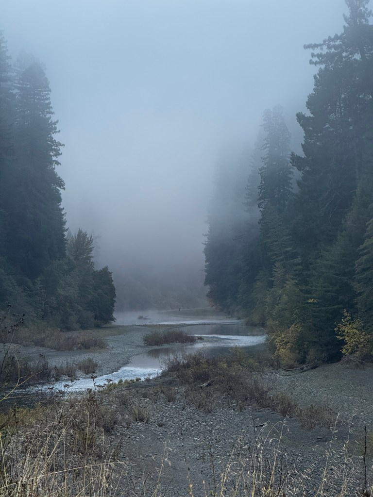
It’s been a blessing to be away from the news with only limited connectivity these past few days-texting, but nothing else. As we ventured out of the woods to the Bay Area, all seems unchanged and the world as beautiful as ever, thanks to a wise friend.
Back on Highway 101, the emails started coming in begging signatures, foreboding doom and encouraging me to fight. Then I got a text from a friend who said she was dealing with her distress by asking herself: “If this were my last day on earth, would I want to be concentrating on politics?” I realized my emails were distracting me from a doe standing serene in the roadside mist, and the delicate, backlit trees.
We pulled in to Petaluma feeling more positive, and determined to live in the moment. We continued our thaw, aided by a hearty lunch at the Washoe House, restaurant and lounge, established 1859. The decor seemed quasi-original and we could imagine (as stated on the menu) General Ulysses S. Grant speaking from the balcony above us and bar tabs paid in gold dust.

Back on the road the next day and gnarled in the monkey’s fist of aging roads around the Bay Area, we crept our way south through a picturesque landscape that could only be California-The caramel hillsides rolled on forever, valleys webbed with knobby oak, and the sun shone brightly as we crossed the bay.
We pulled into our home for the night in Carmel River Valley, drifting in with the smell of eucalyptus. After anchoring Boo, we set off on the 17 mile drive around Pebble Beach and took in the kelp beds, cyprus groves and crashing surf, saturated with grace.

A Reckoning in the Redwoods
November 5-6, 2024
Oldest of living things
What wisdom forests teach
Stirring man’s heart
To thought deeper than speech*
At the northern end of the Avenue of Giants sits the United Women’s Club Grove – acreage purchased in the 1920s after raising $45,000 from 60,000 individual women to preserve this gorgeous stand of redwoods. It’s blocked off in the winter and no one walks in, so we’ve found it a wonderful place to walk the dogs legally in the park.
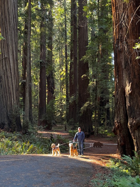
I returned here this morning by myself to walk through the forest and reflect on the last 24 hours.
We are camped in the Humboldt Redwoods State Park, a spectacular forest preserved from greedy lumber barons only through a citizen’s effort in the early 1900s, when vast swaths of similar forest were razed for profit. We chose this area for it’s peace at a time we knew things would be chaotic in the country. Honestly, what we assumed was a Harris victory and a near civil war as Trump cried fraud. We pictured vigilante roadblocks checking voter registration, and figured a park might be one of the safer places.
In our wildest nightmares we didn’t expect Trump to win in a landslide, and now I’m finding the forest a comfort, and at the same time I fear for it.
The Women’s Grove seemed appropriate for my musings, as it was preserved by a large number of women in a time when they were unable to vote. At least there’s that. But I worry that some of the same struggles those women had will be revisited upon the women of today-not being taken seriously, their bodies out of their own control and in the hands of those who will protect them “like it or not.” As though women were too stupid to know what would be good for them…and yet, many women voted for Trump. So there’s that.
The trees told me that regimes come and go, and not to get too caught up in it as they will be there after this regime is long gone. But will they?
In my travels these past two years I’ve been struck by two constants-the amazing, incredible beauty of nature on the one hand, and the lengths to which man will go to destroy it all in the name of greed and power on the other. The trees may not survive a handshake deal at a Mar-al-Lago cocktail party to log forests, mine hillsides and divert rivers. Nor would they survive a nuclear attack visited on us by a posturing madman in his attempt to look “tough.”
And never in the history of our country has there been such a greedy grifter squatting in a castle of insecurity…
So, we look at each other, the trees and I, and wonder and worry about the future.
Would that we
Were great as these
And men were brotherly
As trees*
* From the hearthstone- a memorial central to the Women’s Grove in Humboldt Redwoods State Park.
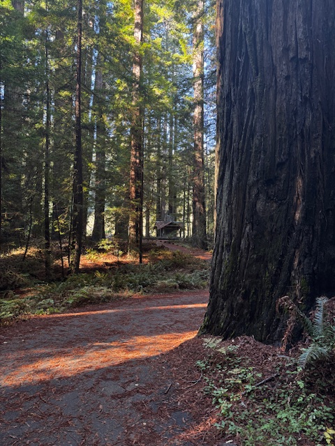
Sun Sandwich
November 2-4, 2024
I’m remembering why we head south.
Phinn’s beard is dripping on my feet as I write-a combination of rain and sea spray from our recent beach foray in a downpour. He doesn’t seem too pleased with the arrangement either, and keeps sighing and looking out the side window, to the amusement of our fellow campers.

Leaving Cannon Beach in the pre-dawn, we were pelted by rain our entire route to Florence. The coastline and my favorite lighthouse at Hecata Head took on a brooding, sinister mood in the gloom, and made me appreciate the coziness of my heated seats and steering wheel.
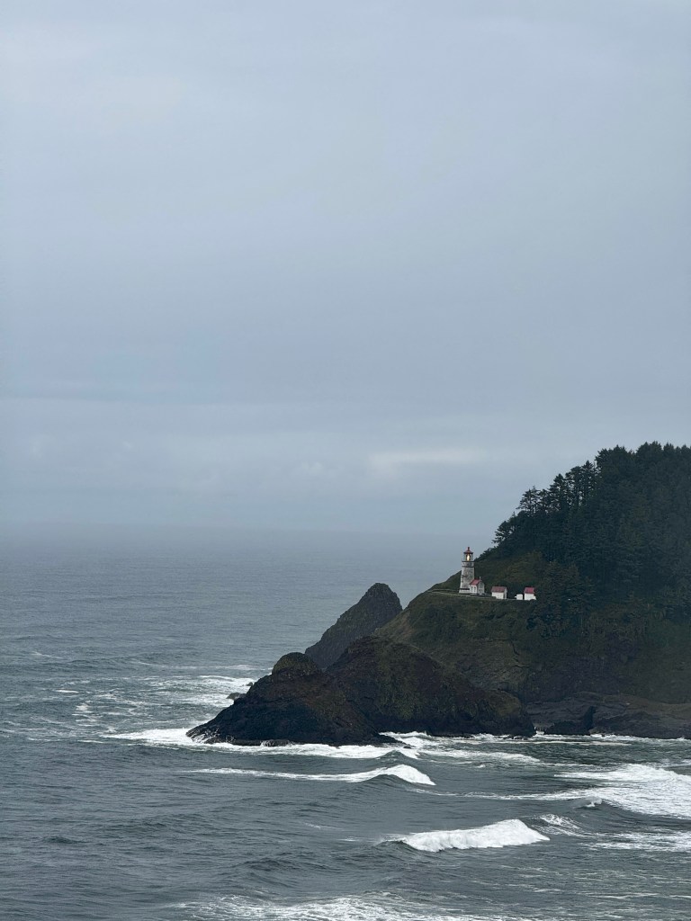
We let the stir-crazy pups run on the dunes when we arrived. The combination of the rain and fine sand resulted in a thick airedale breading that, despite intense removal efforts, resulted in our full-body dermabrasion overnight.
We awoke next morning to an eerie silence, and worked out that it was the absence of rain!
The sun shone brightly on our repeat trip to the dunes, and the joy of the pups running free more than made up for their light breading.
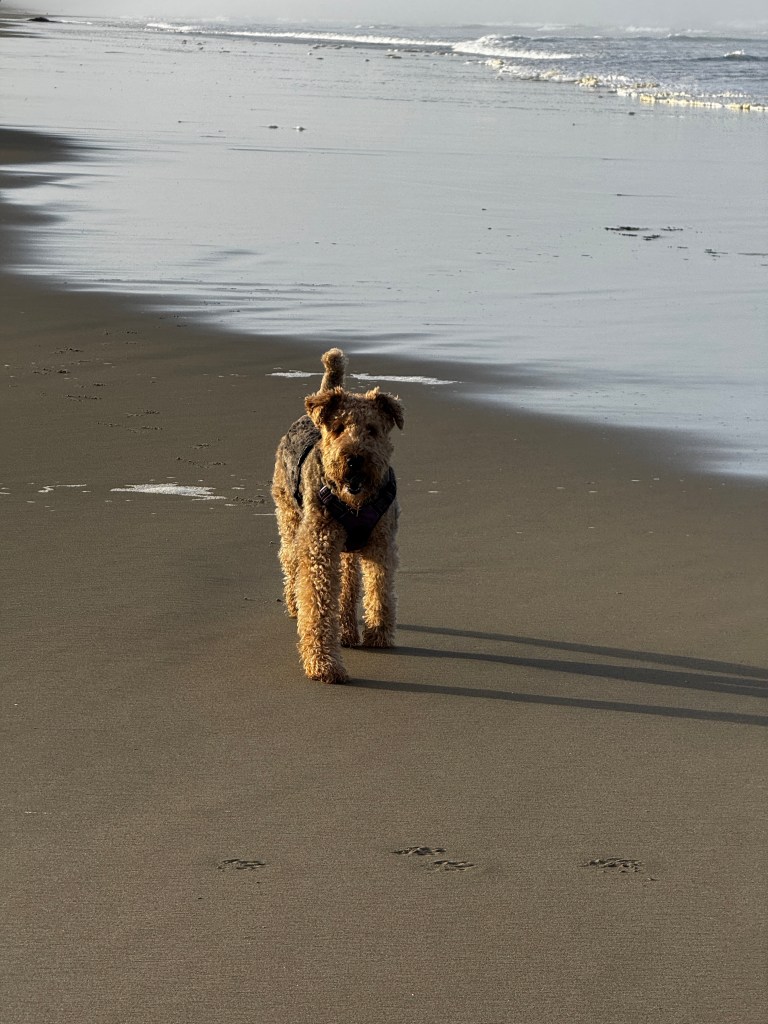
I have a new appreciation for camels now. We had originally planned on taking my Jeep Rubicon to explore the dunes, but after we saw how soft the sand was and factored in the weight of an electric Jeep, the lack of a winch, an the remaining 1500 mile trip, we opted to walk. Or rather, stagger. We climbed a single dune to get to the beach, and that took us 15 minutes even with excited dogs assisting. We were all too happy to sit and watch them exhaust themselves somersaulting in the sand.
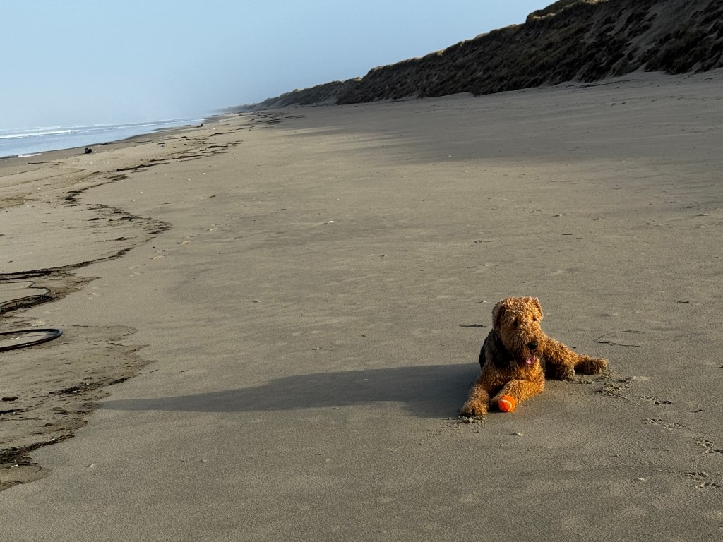
With the dogs asleep in the back seat, we could enjoy our one large meal of the day. We found a riverside bistro where weekend fishermen were netting crab off the dock below. We watched as they pulled up pot after pot of CD-sized crab, throwing almost all of them back, but having a wonderful time in short sleeves and sunshine, no doubt a rarity here. On the way out of the restaurant, a sad-looking seagull squawked me out of one of the fries I had saved for the dogs. Unhappy with the offering, it bit Erich on the ankle.
Back at camp, we set up our chairs outside and lazed the afternoon away listening to the Seahawks game beside a fire and taking walks around beautiful Jessie Honeyman State Park.

I can’t say enough good things about Oregon parks. Every one we’ve stayed at has been in a gorgeous setting, is well-cared for and very clean, and has free hot showers! This central part of Oregon near Florence is really spectacular-long, deserted sandy beaches, the dunes that stretch 40 miles down the coast, and just inland a chain of lakes amid lush forests with hardy fuchsia blooming in November!
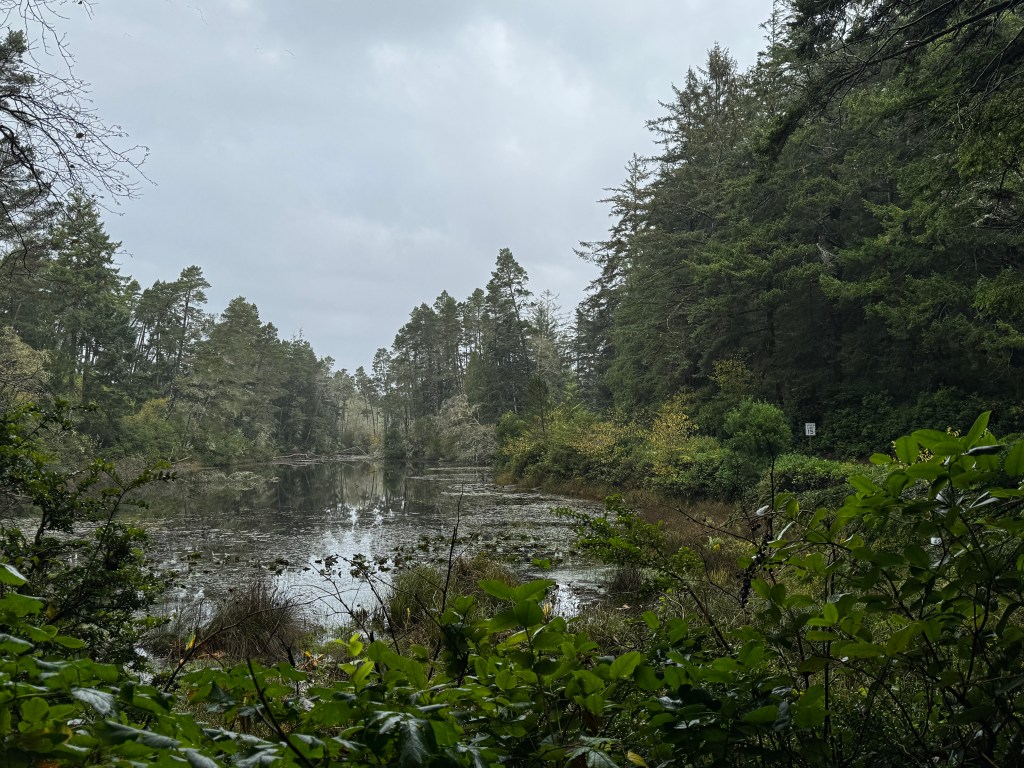
Perhaps it was the unusual sunshine that had me smitten, because the rain started up again overnight and things looked decidedly less rosy in the morning as we packed up our sodden gear. Heading south to Brookings through the industrial grittiness of Coos Bay, the rain fell in sheets.
It was no better at our campsite at Harris Beach, but Phoebe and I were determined to make the best of it with a beach walk, hoping tomorrow brings another slice of sun.
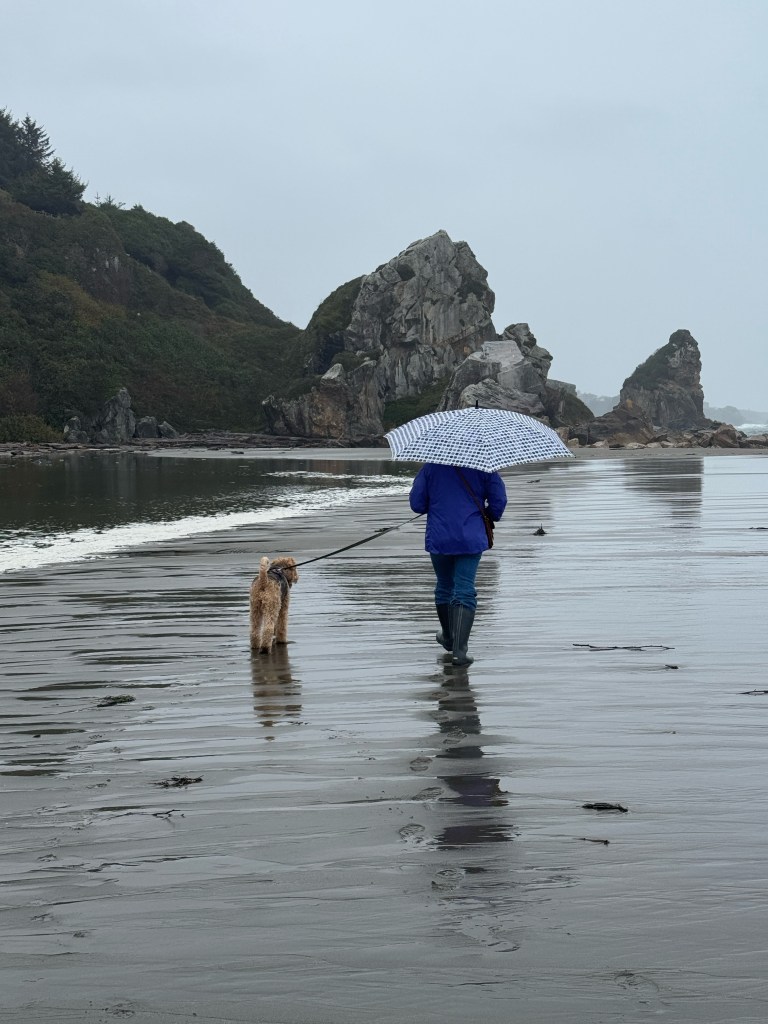
Geese Head South
November 1-2, 2024
We’re back on the road again, after spending a few weeks preparing and saying our winter good-byes. It’s bittersweet leaving dear friends each season, but in the end how blessed are we to know wonderful people in both homes!
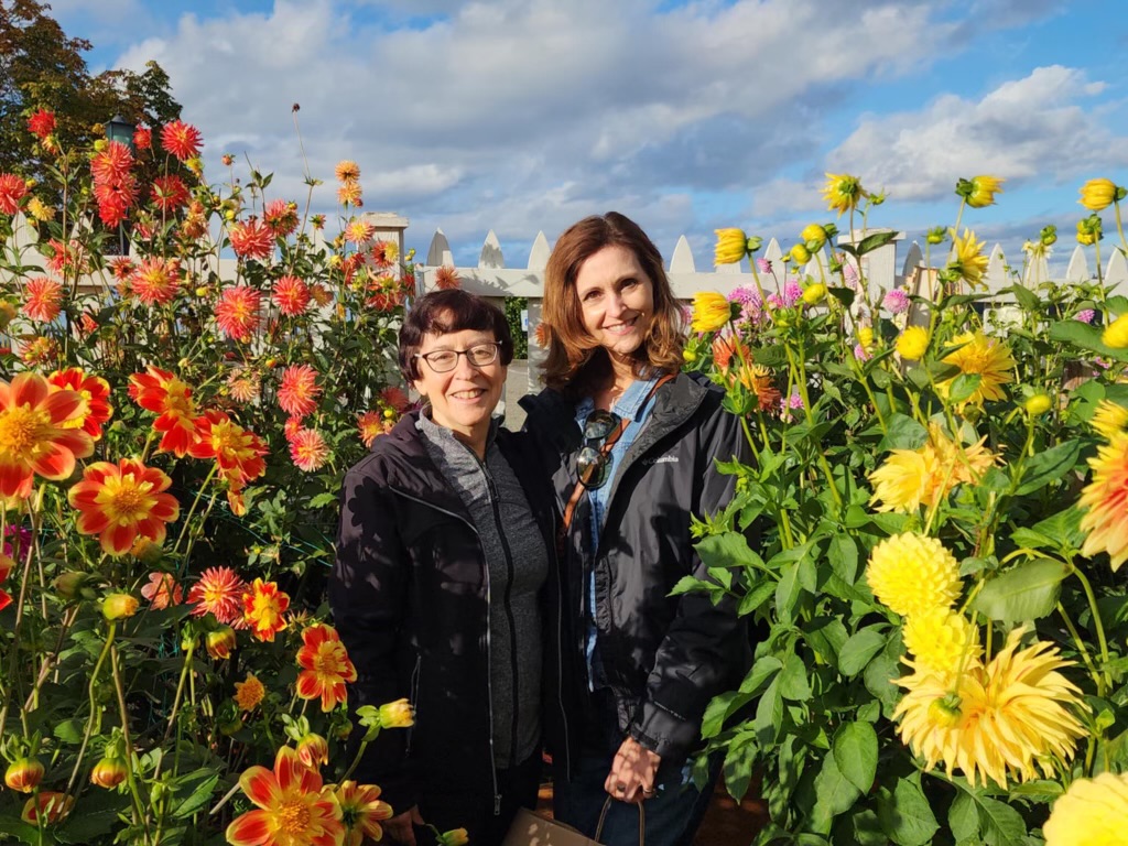
We are retracing our original coastal route of 2022 through Carmel. We had contemplated visits to Mount St. Helens and Crater Lake, but as snow has begun falling in the mountains, and with my memory of being shellacked by puppy diarrhea through the Siskiyous in a blizzard, we opted for the coast. Phinn, for the record, denies he ever behaved in such a vulgar manner.
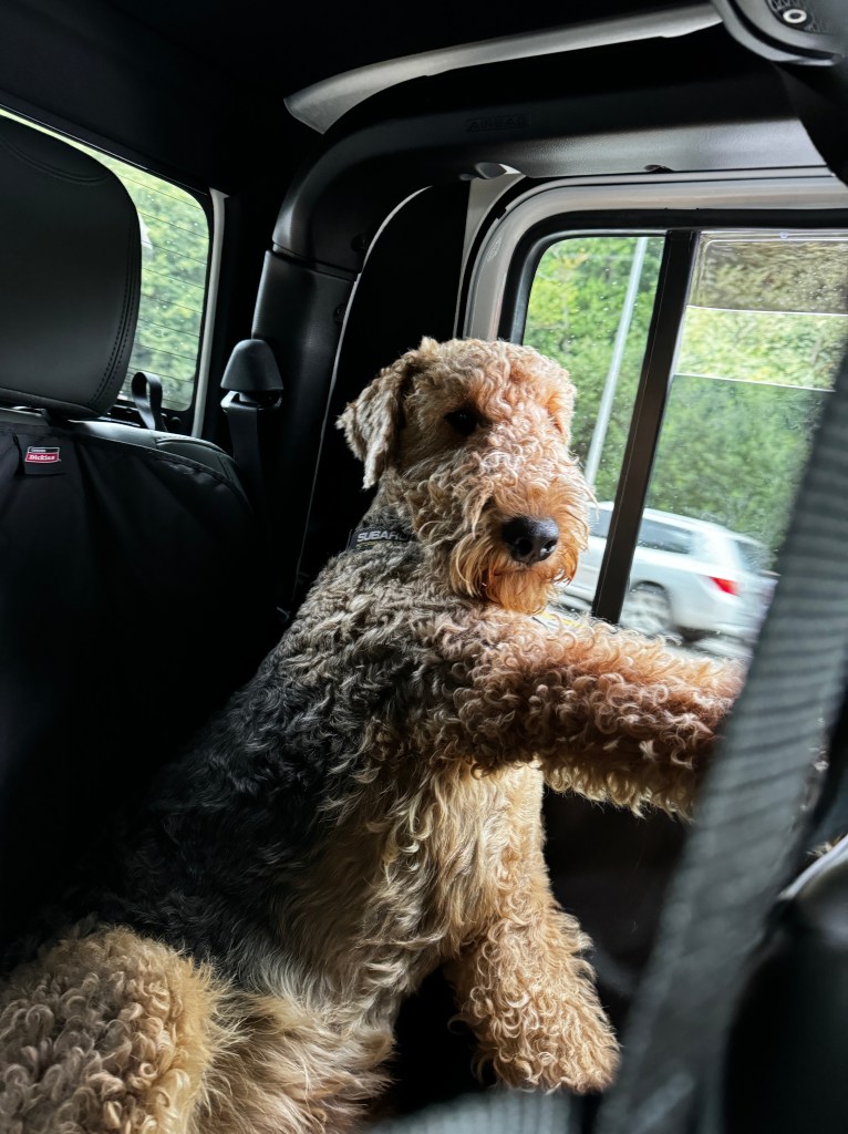
Other than the addition of one leaky puppy to our original trio, the ride down was much as we remembered it.
The PNW saved it’s most foul day for our departure, and rain pelted us solidly to the Oregon border. We stopped at the aptly-named “Dismal Nitch” again, where we all took a bathroom break and Phoebe was surprised by a slap in the snout with a soaked, wind-borne maple leaf. She looked at me accusingly…
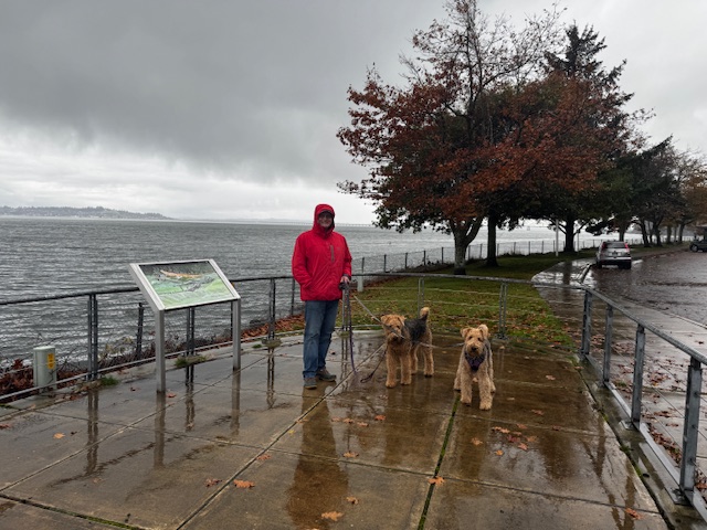
The Columbia River is always impressive, first or hundredth time across. Tankers dwarfed by the scale of the river lined up to dock, and the bridge across provided spectacular views of the perilous river bar. In Oregon, we were greeted by law-abiding wildlife and an easing of the relentless rain.
We docked Boo in Seaside, and set our for Cannon Beach to run the pups. Except there was no running today-a herd of Elk had made their way to the shore and we would make the headlines of the local paper if we loosed Phinn.
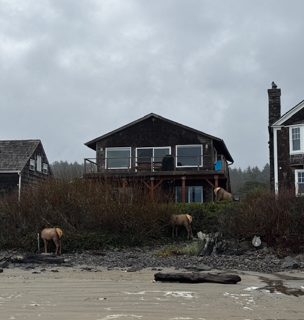
Our leashed walk was still lovely. The pups contented themselves with the local surf and turf buffet of crab and elk droppings, and while we struggled to pull them away from dining and take a family photo, we were caught by a sneaker wave.

We watched the sunset over Seaside Beach after dining on steamers, fish and chips and chowder. A wonderful first day of the Great Southwestern Migration.
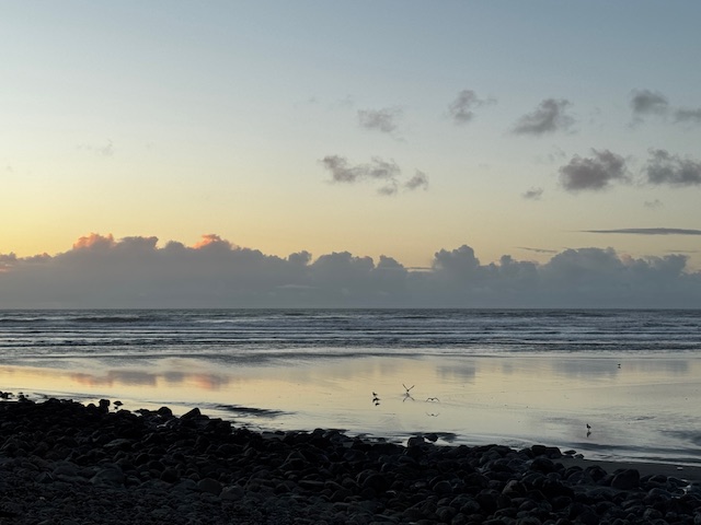
Hawaiiana
October 18-21, 2024
Spinner dolphin jumped at the junction of turquoise and cobalt waters off Honaunau Beach. An appreciative crowd oohed and aahed, grading each performance. We had just returned from snorkeling, and were relaxing in the shade and taking in the local entertainment.
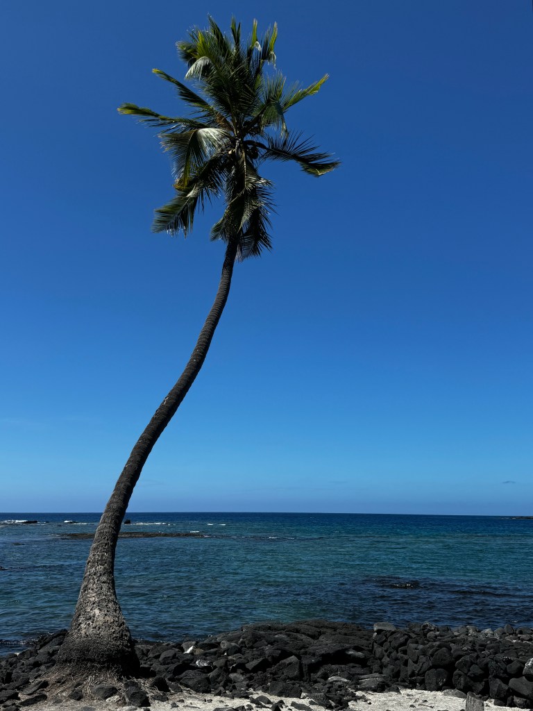
Honaunau is our favorite snorkeling spot on the Big Island. In days past, we dove here, but this trip we are content to snorkel, and even that was proving challenging.
The beach here is mainly lava with entry to the water by jumping off a low shelf. Efforts to grow new coral have limited the entry to one spot, and throngs of people gather there, fighting the surge to get in and out of the water. I flailed like a drunken manatee on entry and exit, no doubt amusing the dolphin-watching crowd. No oohs and aah for me…
But once in the water, all else melted away as we drifted over the coral watching schools of yellow tang riding the surge beneath us. Diving down and skimming the coral is like entering a Dr. Seuss landscape of other-worldly creatures: Spiny urchins of magenta and purple wedge in crevices; fish of every hue reflect iridescence, and a web of sunlight drapes the knotted coral. The hush and crackle as you dive focuses your senses, and it’s meditative. Until you bump into a fellow snorkeler upon surfacing.
This spot, almost deserted in our day, is no longer a hidden gem. One more change.
Across the bay is my second-favorite historic site on the Island, Pu’uhonua o Honaunau.
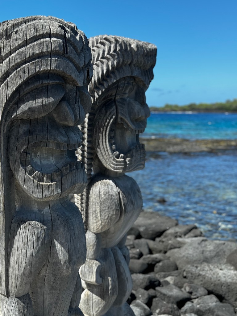
In the time of ancient Hawaii, this was sacred ground, guarded over by the bones of ali’i and said to possess spiritual power, or mana. It still does.

It’s divided into Royal Grounds, where ali’i and their families gathered, and beyond an impressive dry-masonry lava wall, The Place of Refuge. The latter served an interesting function in the days of old when Hawaii was governed by sacred laws and beliefs called “kapu.” If these laws were broken, the punishment was usually death, but if you were able to elude capture and could swim to this area, you would be pardoned by a priest and could resume normal life. This was no easy feat, as this clumsy snorkeler can attest. The current is fierce, the surge strong, and the lava shore sharp and unforgiving. Our friends tell us that even to this day the area carries the same gravitas as a church, and there are still those that seek sanctuary here.
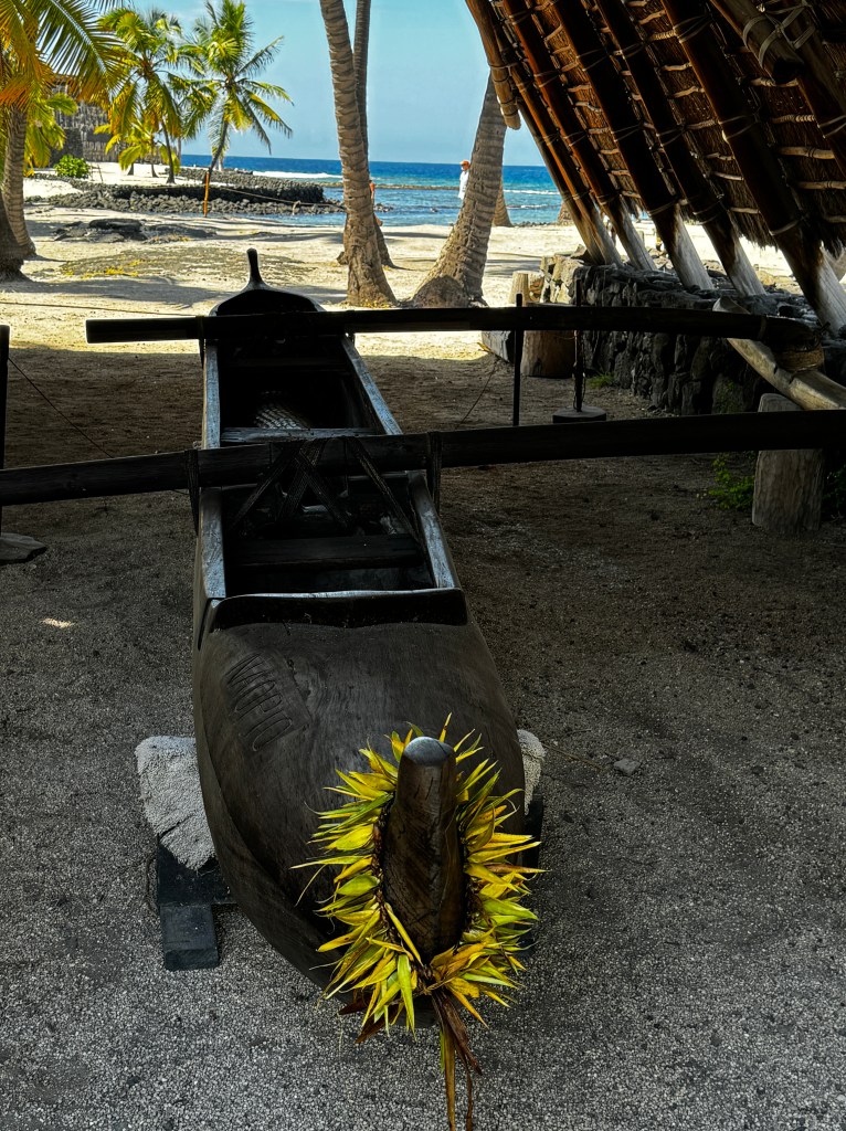
After our beach sojourn, we headed down the coast to South Point, the southern-most point in the Islands and in the entire US. It is here that the first Polynesians came ashore, supposedly guided by the smoke from volcanic eruptions, and settled the island. Cattle were once hoisted here to populate the islands many ranches, until more accessible ports were established.
Now it is very isolated, a wind-swept outcropping of weather-worn trees and wild rice fields. And goats, of course.
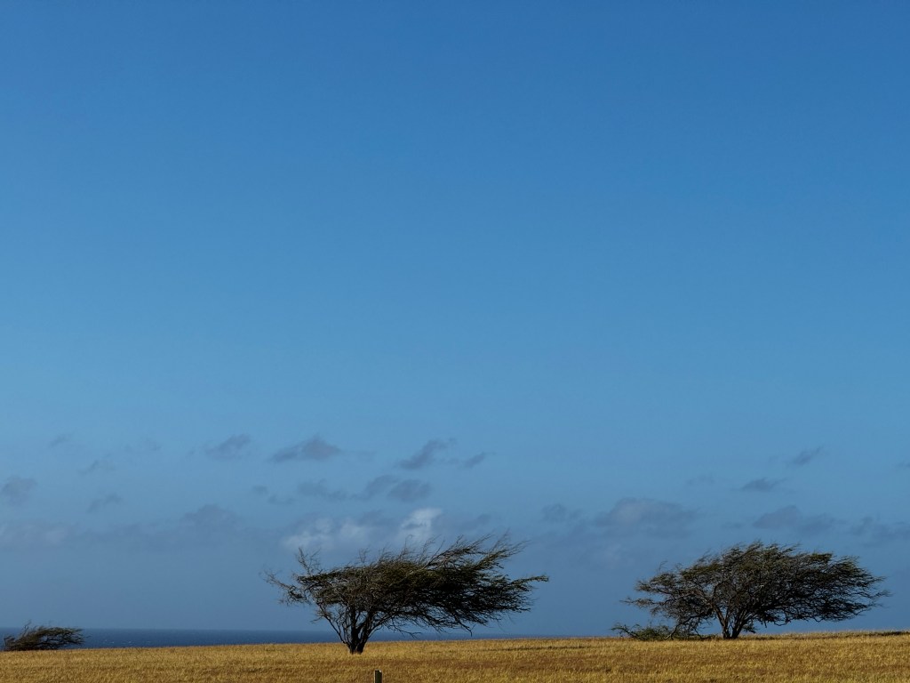
We sat and cliff’s edge and watched ahi fisherman hunt the waters far below, pondering what this must have felt like for the original Hawaiians, finding land after so many weeks at sea.
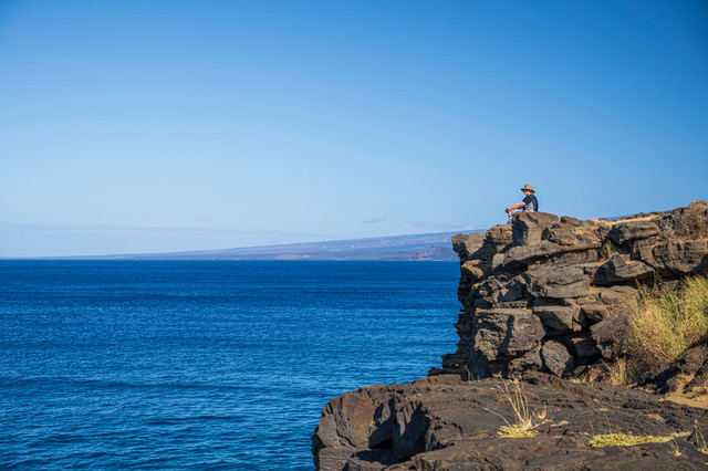
Back with our friends the next day, we explored what is now my favorite historic site on the island, and one I had no idea existed until this visit. Just down from our friends’ home is the site Pu’ukohola Heiau, the most sacred of Hawaiian heiaus. It is here that Kamehameha rebuilt a dry-masonry temple after advice from his high priest. He was having difficulty with his goal of unifying the islands under his rule, and the priest advised him that unless he built this temple and consecrated it with a human sacrifice of high rank, he would not succeed. Stones of unbelievable weight (I know, as I tried to life one displayed at the visitor’s center!) were transported by hand from Kamehameha’s home near the beautiful Pololu Valley.
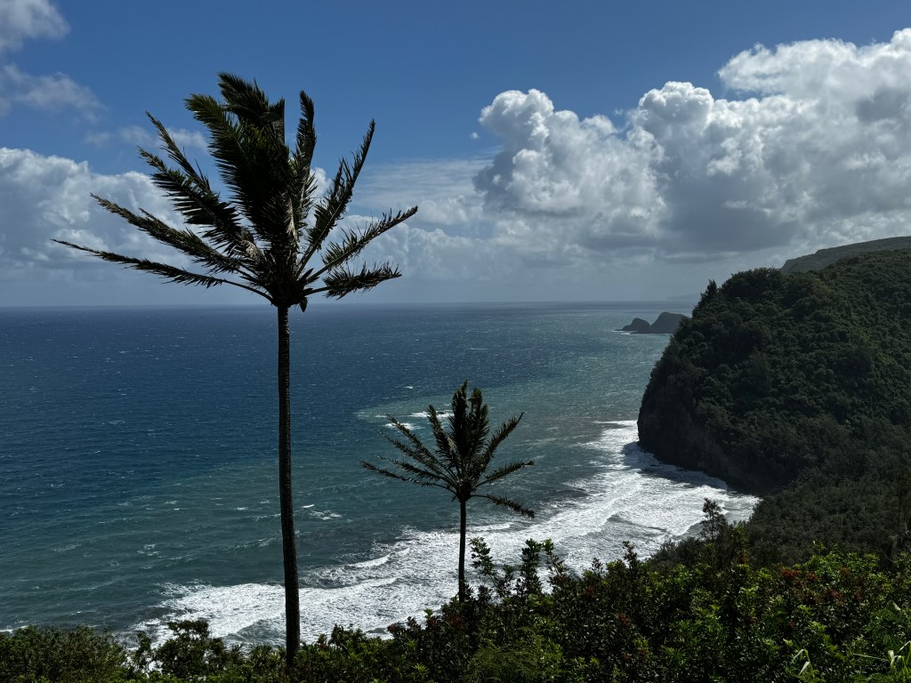
This is a journey of 30 miles over mountains, and it seems inconceivable today that it could all be accomplished by hand. But so it was, and Kamehameha went on to unify the islands after his arch rival, Keoua, gave himself up for sacrifice, reading the will of the gods after his army was weakened in a volcanic eruption. People still come and place offerings on a wooden platform outside the heiau, as it is forbidden to this day to enter it.

After our visit, we walked a part of the Ala Kahakai trail, an age-old path that connected the west side of the island from north to south. Much of this path is now disrupted by homes and resorts, but can still be followed in many areas as it was in the time of the ancients. There are said to be footprints of Keoua’s ill-fated army in the lava rock along the path.
We didn’t see footprints, but our friends guided us to a gorgeous white sand beach where we were almost entirely alone. We bobbed in the turquoise waters and quickly got to know the other two beach-goers, a local man and his daughter. As it so often turns out on the island, the man knew our friends’ family, and conversation was warm and easy…
After a stop for some amazing macadamia nut ice-cream, we returned to our friend’s home and talked the afternoon away. As sunset painted the sky in hues of tangerine, we said our alohas, promising we wouldn’t wait another 15 years to return.
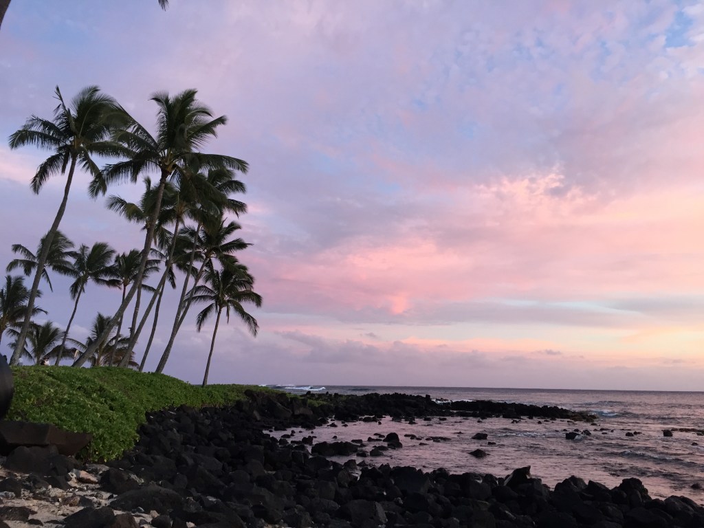
Return to the Big Island
October 14-17, 2024
Sometimes the wider open your eyes, the more confusing the world becomes, and I’ve always had a confusing relationship with the Big Island of Hawaii.
We lived on the Big Island from 1995 to 1997, and despite our short stay, every time I return it feels like home. But Home is complicated.
I worked as a family physician in Hilo, and Erich ran the YWCA aquatics program. We were welcomed into the community, and our wonderful friends shared the true meaning of Hawaii with us.
We attended the Merry Monarch Hula Competition, went to see Hawaiian music concerts, collected flowers and plants from the side of the Saddle Road to make Christmas wreaths, soaked in the volcanically-heated hot ponds with the Pacific Ocean breaking over the enclosing lava wall, and attended all manner of craft festivals. We fell in love with Hawaii and it’s ancient, robust and gracious culture. But despite our love and appreciation, we will never be part of these islands.
We returned this year, after an absence of almost 15 years, to celebrate our wedding anniversary on the beach where we were married, and to visit our old friends who we hadn’t seen in far too long.
Our plane landed in Kona and we disembarked directly onto the tarmac, into the warm, welcoming Hawaiian breeze. It’s always a bit of a shock coming into Kona as it’s not the lush green of most Hawaii dreams. It’s a land of stark black lava, heaped in prickly mounds called a’a, and flowing in frozen whorls called pahoehoe, that spill down the sides of Hualalai to the sea.
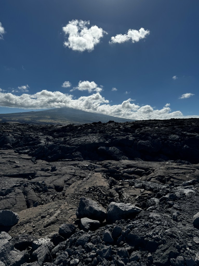
When we lived here, it was popular to paint the smaller stones white, and write all manner of graffiti in the stones beside the road. Against the black lava, they stood out fiercely, and it wasn’t until this trip that I appreciated the true beauty of the surrounding landscape, as there is now no graffiti to read! No more small white stones, and the landscape is the better for it.
Perhaps the stones were eaten by goats? That’s also something new.
There have always been sun-bleached signs about donkeys crossing the road, despite the fact that our friends who have lived here all their lives, have never seen a donkey. The signs remain, and families of goats now pose by them. There’s been an explosion in the goat population. They’ve always lived in the mountains, but now they’re everywhere, sometimes stopping traffic in their migrations. We managed to avoid hitting them as we made our way north to the Waikoloa Marriott hotel, which is where we got married almost 30 years ago.
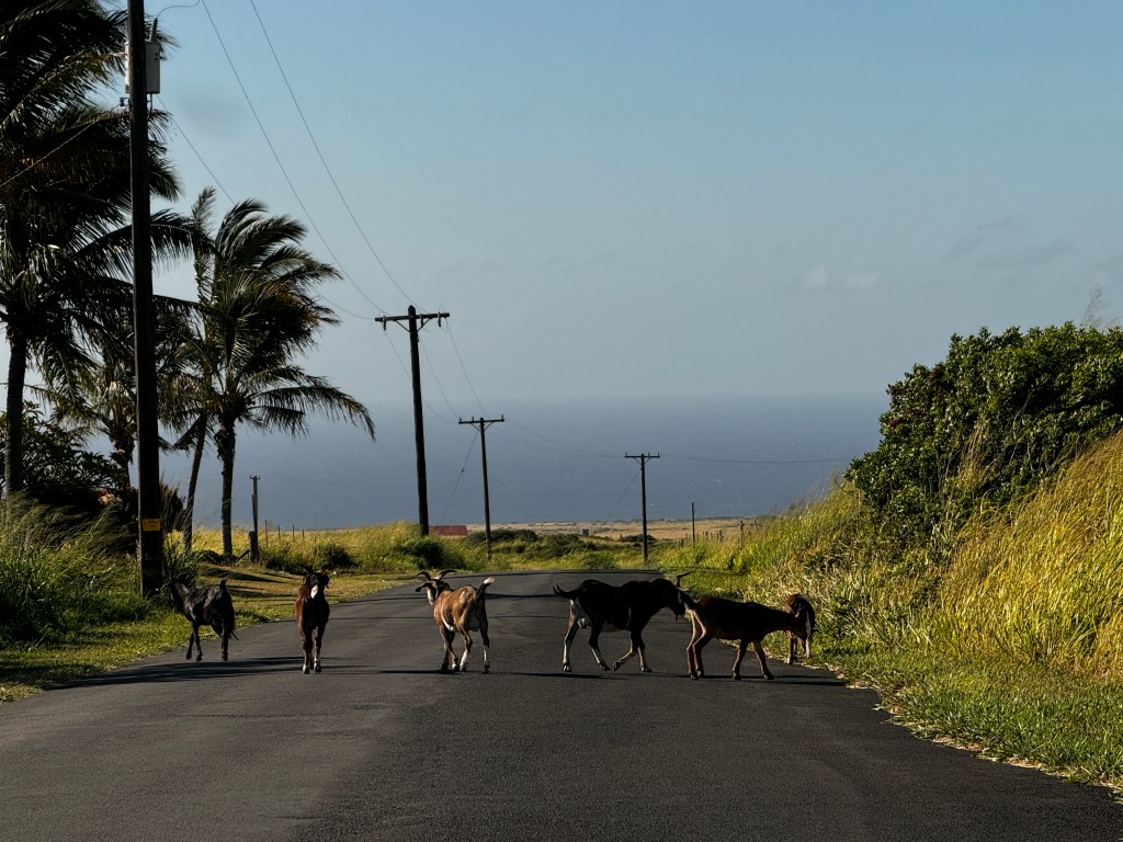
We had just moved to Hawaii, and the Marriott was having a special on local weddings. Being rather introverted, we both opted for a simple wedding amidst the ancient fishponds by the beach.
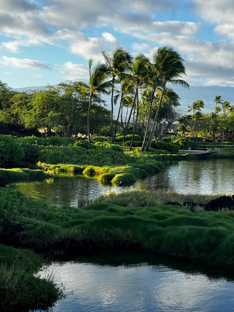
It was just the two of us, and when our officiating pastor asked us who the witnesses were, a mongoose popped his head out from the bushes. He was nominated, and I believe somewhere in our paperwork it’s written that a mongoose bore witness.
As we revisited the grounds of our wedding, the great grandson of our witness popped out of the bushes. I think he gave us a Shaka sign.
The first part of our trip was to re-create our wedding. We didn’t feel it necessary to renew our vows with a pastor, but just wanted to take a photograph similar to that of our wedding and remember. The mongoose said he was game. So, on the second night of our trip, I dressed in my original wedding dress, and we re-created our leis and bouquet.
We returned to our beautiful beach at sunset, and reminisced about all that is passed in the 30 years we’ve been together. It’s been an amazing life, and I feel so lucky to have had such a wonderful, supportive and adventurous companion to share it.
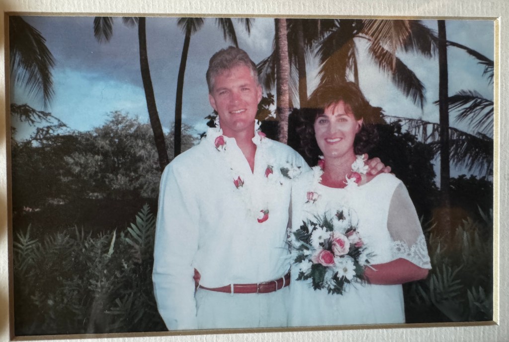
We took a few pictures, shocked at the contrast between the young innocents and the wizened, old cynics. Despite the jarring change, we feel truly blessed.

The rest of the few days we were there we spent revisiting our old haunts.
We took a drive through Waimea to the Hamakua coast and Waipio Valley.
This is the area of the old sugarcane fields and one of the wonderful memories we have are surfing the flumes. The flumes are miles of deep concrete channels cut through the landscape to route water from the mountains to the cane fields. They can run rather fast depending on rainfall, and on a whittled boogie board you can shoot down them through a tropical paradise. Not the safest of endeavors in retrospect, but absolutely thrilling!
The flumes still run to provide water to the ranches, but the cane fields have all been abandoned, as industry searches for ever-cheaper labor. An enterprise to grow eucalyptus for fuel and wood took over the fields, but as it turns out the wood was too oily for either, so now great forests of (non-native) eucalyptus cover the hillsides.
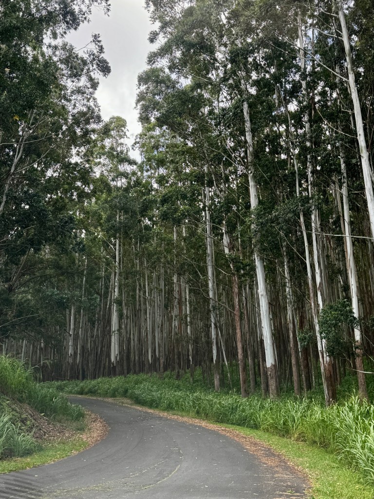
We followed the road through the new forest to Waipio Valley, a gorgeous tropical dream of a place, and the site of many an adventure.
In our day, you could drive down to the valley and camp on the beach, which we often did. Here is where I learned about menehune, the mischievous, elf-like creatures that wreak havoc on humans, after my swimsuit went missing. I was pounded into poi under a tropical waterfall, not realizing that my gentle romantic vision didn’t square with the force of gravity after a 200 foot drop. And one of my most abiding Hawaiian memories -Erich, Brandon and I spending a beautiful moonlit night on the black sand beach, having been driven from our tent by unrelenting jungle heat.
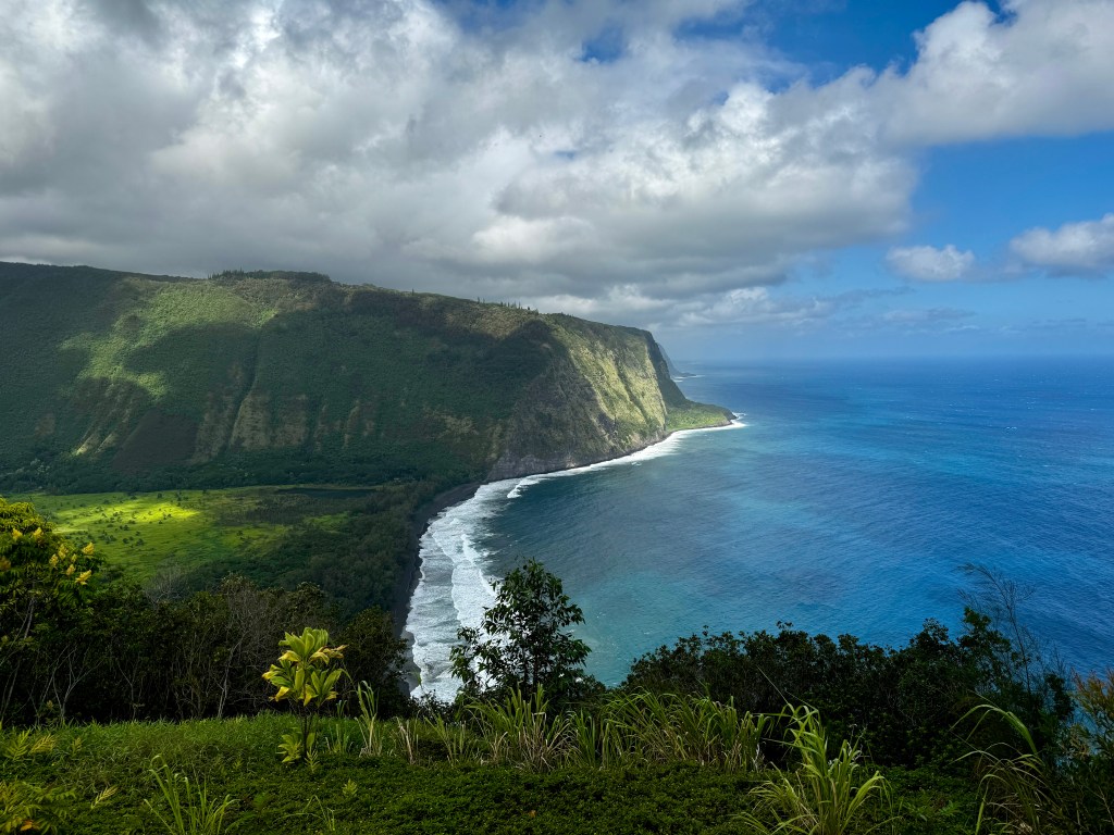
Wild horses used to run on the beach, and according to the ranger stationed at the top of the road down, still do. But no longer us humans. The road is open to the locals who still live and farm taro in the valley, but ancient burial sites have been discovered on the beach where we once sat, and it is said that Kamehameha the Great was hidden in this valley as a boy, after a prophecy that he would one day become the greatest chief of all endangered his life.
Onward following the ribbon of road that winds through countless lush valleys along the northern coast to a stop at gorgeous Akaka Falls outside of Hilo. No more free parking and solitude-the place was packed with tour buses from a Norwegian cruise ship and almost as many attendants eager to take a credit card for parking and entry fees. Luckily, we arrived at the tail end of the cruise ship stop, and were able to enjoy some of the peace we remembered at this beautiful spot. Fern fronds seven feet long waved in front of towering bamboo forests; hibiscus and ginger bloomed beside the path; the aroma of crushed guava filled the air and woven through it all the roar of the falls tumbling almost 450 feet to an emerald pool-a veil blooming rainbows.
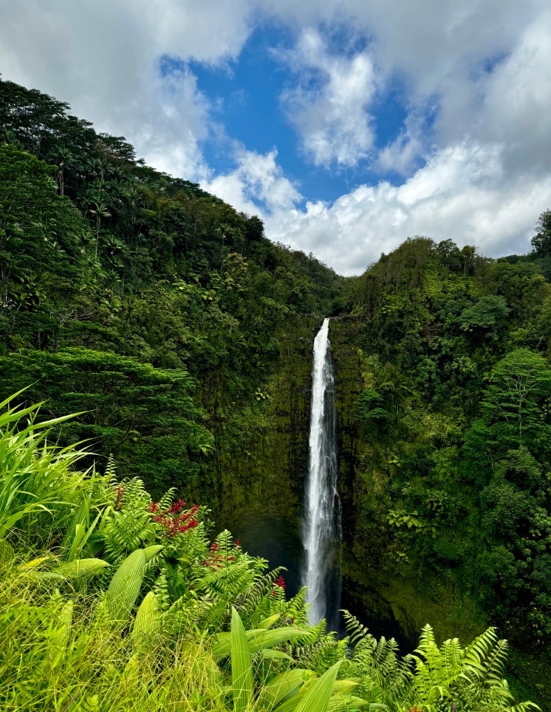
Back on the road, we made our way to Hilo, the town on the windward side of the Big Island where we used to live. Though lush and lovely, it was an economically depressed area when we lived there, and it looked little changed. The clinic where I started my career was still there, looking almost exactly as I had left it.

Our home on Terrace Circle had a new coat of paint, but was otherwise unchanged. I’ll never forget the sound of our first tropical rain on the uninsulated, corrugated metal roof of that house!
We headed back to Kona on the Saddle Road-in our day a poorly-paved two lane affair that snaked between Mauna Kea and Mauna Loa. Wild orchids still bloomed at the roadside, but the road has been improved and widened and what once took two hours took 40 minutes. We were passed by numerous cars going almost 80 mph, and thought back to when we drove this road weekly to stock up on supplies at Costco-the only good deal for food on the island-and enjoy a frozen yogurt in the sun. One journey we almost flipped our Mazda Miata taking a turn at 30 mph…
Back in Waikoloa, we contacted our good friends from Hilo who now live in Kawaihae, on the northwestern part of the island. They have a gorgeous view of the ocean looking south along the coast, and we caught up over POG (passionfruit, orange and guava juice) while we took in the scenery.
They live on Hawaiian Homelands, lands now reserved for native Hawaiians in partial reparation for the illegal and unjust annexation of Hawaii to the US in 1893. Hawaii was originally settled by wayfairing Polynesians, and was ruled by regional chiefs, or ali’i, until all the Islands were united under Kamehameha in 1810. Thereafter a constitutional monarchy and rich in cane and pineapple, it proved too profitable to be left to it’s well-functioning native government, and was seized by military force essentially for greed.
That left it’s native population adrift and out of control in their own home, as lands were gobbled up by the newcomers. Now sugar cane and pineapple have been replaced by tourism and multi-million dollar homes. Our friends watch from their deck as the shoreline on either side them is sold to the highest bidder and access for locals curtailed.
And herein lies my confusion-I adore these islands and their people, but am essentially one of the “newcomers” contributing to the downfall of what I love. And the more I open my eyes, the more flagrant these injustices seem. Our friends are unable to get water at decent rates as it goes first to resorts and luxury homes; access to shoreline fished and transited by foot for centuries is cut off as more waterfront homes are built and deemed “private property;” tourists ignore signs and trample taro fields and desecrate ancient heiaus (temples)—but then tourism now supports the much of the local economy…
Sigh. I may never make peace with this dichotomy, so will try to enjoy our dear friends and their lovely home in the moment with open eyes and mind.
Dog Days
September 6, 2024
Erich has been asking me for several weeks what’s amiss.
I’ve been in a funk, dreaming of the Southwest, and gazing wistfully out across Agate Pass. I have felt off, and I attributed it to the advent of fall and my migratory instincts. As it turns out, I’ve been beset by the dog days of summer.
For context, our new itinerant lifestyle has resulted in us getting 6 months of prescription medication at a time, and there are multiple bottles lying about. We each have a shelf in the kitchen where these reside and we dole them out weekly so we don’t forget. Once a bottle gets low, we combine it with the next bottle and throw the old bottle away.
I was in my usual mode of putting the smaller number of pills in with the new bottle when I chanced to look at the old bottle. As it turns out, I’ve been taking Phoebe’s sedative every morning for the past two weeks!
In my defense, it looks exactly like my prescription for adult acne and shouldn’t have been placed on my medication shelf in any case (perhaps Erich was trying to mellow me out?)
In any case, I’ve been a self-induced medicinal stupor…
As Phoebe didn’t need the sedatives since we left her at home on our recent boat trip, I could determine exactly how many of her pills I had taken-fifteen, to be exact-coinciding perfectly with my recent ennui.
Luckily, her medication (Trazodone) is also used in humans, albeit in smaller doses. I used to prescribe 25 mg nightly for my patients with chronic insomnia. I have been taking 100mg every morning.
So, today is day #2 of my withdrawal from canine sedatives. I think I feel my tail starting to wag again…
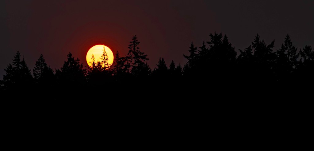
Dreaming Southwest
Labor Day, 2024
In addition to my newfound faith in spiders, I’ve found myself paying attention more to the natural rhythms of the world that were easily ignored when working.
There’s been a bit of a break in the weather for the last few days-back to sun and warmth-but it feels tenuous, and I find myself a sponge, open to soak in the last bit of golden Northwest summer.
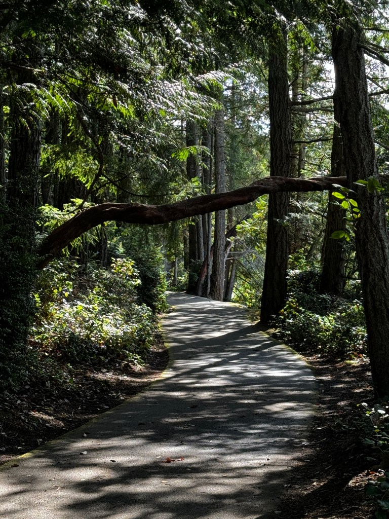
On my evening kayak paddles, I’ve become more aware of the dance of light in the sea-large starbursts of lime from the depths of emerald. I glide to the watery whisper of my paddle and iridescent kelp dances in the tornados of my strokes. How could I want to leave such beauty?
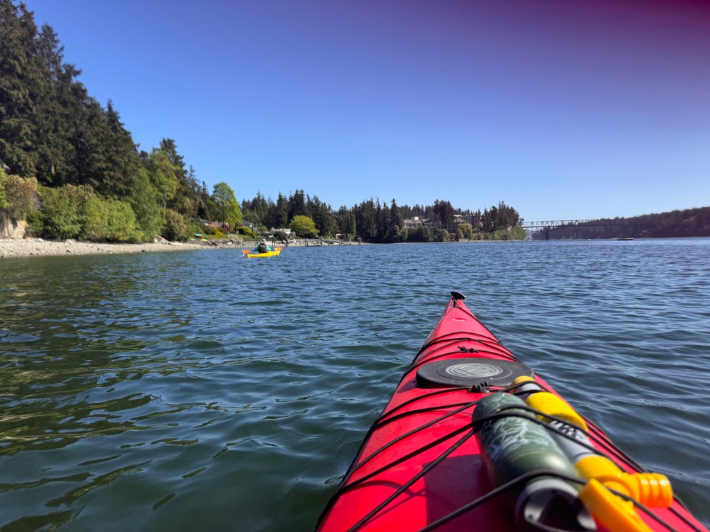
But the Southwest has started to tug. I dream of the condo-evening walks with Phinn; the taste of a margarita as the sun sets violet over the Catalinas and the splashing of my fountain in the courtyard. Is this the same pull geese feel? OK, maybe not with Phinn involved…

We’re leaving the Pacific Northwest later this year both to avoid the Arizona heat and to complete some home maintenance projects, but I find myself planning our route down and what I would be doing if I were there. An impatient goose.
Erich tells me to enjoy fall in the Northwest, and he’s right. It’s a gorgeous season with the turning leaves, the nip of chill in the silken afternoon breezes and the autumn-hued walks at Bloedel Preserve. I’ve begun to bake bread and rediscover the goodness of squash soup.
And yet, “The Turquoise Ledge” has reappeared on my reading table and I crave Chipotle. A foot in both worlds. How lucky.
Always Trust Spiders
August 19-21, 2024
Spider webs began appearing in late July, something we usually don’t see until late August. The fireweed began going to cotton around that time too, but we were too blinded by the excitement of our sailing trip to see the signs.
Summer in the Pacific Northwest is usually at it’s peak in August and lasts through mid September, and we’ve typically timed our trips to coincide with back-to-school and summer’s peak to avoid crowds and maximize weather. We should have paid more attention to the spiders, who told us this year was going to bring an early fall.
We left Vancouver under sunny skies and Erich was feeling better, so we wondered if we had made the correct call to turn for home early. The forecast still called for rain the rest of the week, and we were missing our pups, so we proceeded as planned.
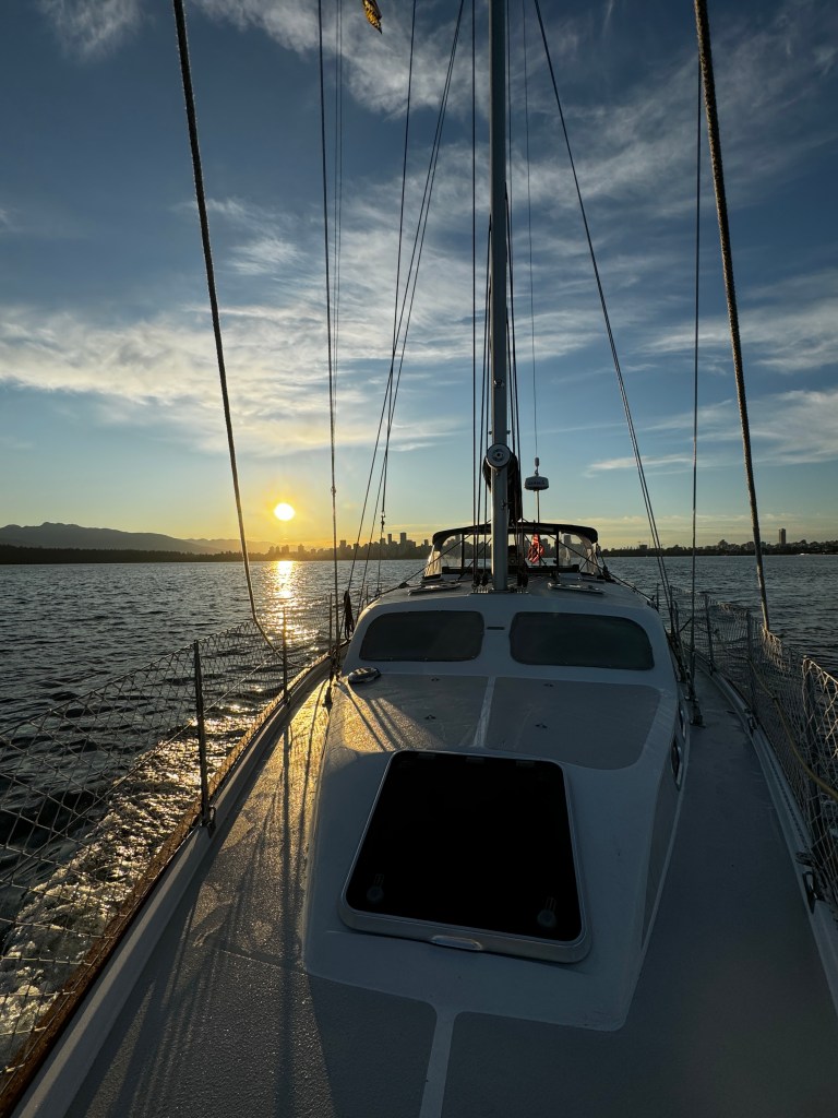
Crossing the Strait of Georgia, a sometimes tempestuous affair, was dead calm with clouds building in the West. We slipped past Patos Island back into U.S waters, having abandoned our plan to anchor in light of the impending storm and planning to overnight in Deer Harbor on the southwestern tip of Orcas Island.
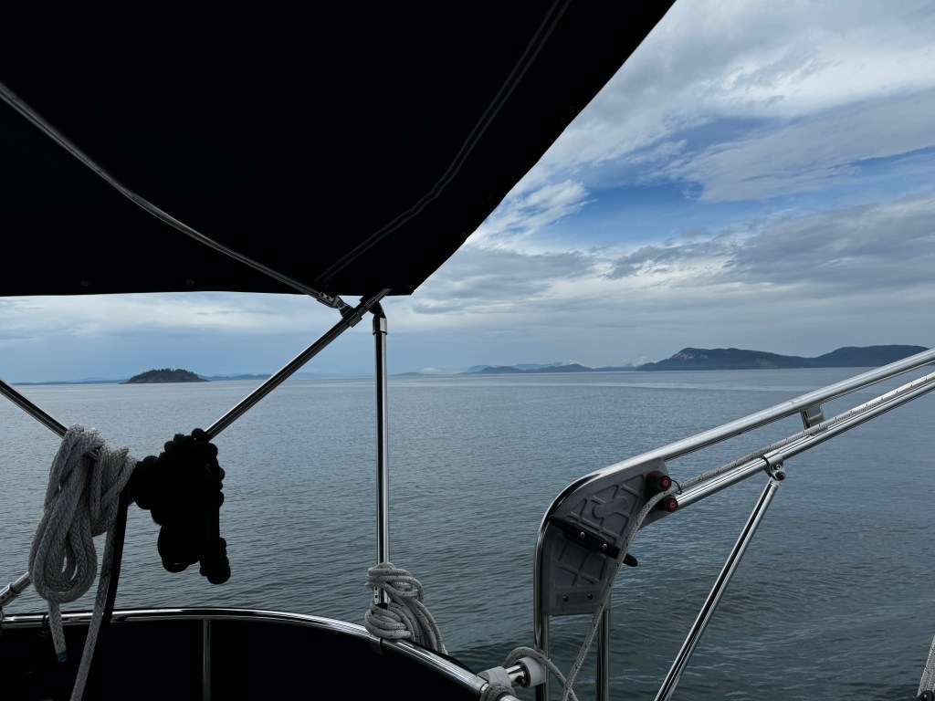
I always forget just how beautiful this area is, and it takes my breath away every time- Hidden pocket beaches tucked between granite cliffs; grassy headlands extending to craggy bluffs with Aiderondack chairs perched at the edge; solitary bonsai-like pines reaching out over the water, and the deep green channels in between filled with sealife. I sat on the bow as we passed between Waldren and Orcas Islands, and a seal greeted me with a head bob, then spiraled into the depths, it’s white belly and flippers disappearing in hues of seafoam.
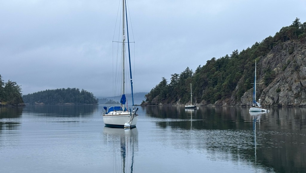
We pulled into Deer Harbor as Western winds kicked up and were very glad to see marina staff waiting on the finger pier for our arrival, as even with their help we were blown about a bit.
Settled in, we took advantage of the dry conditions and walked the bayfront, eating matcha-almond ice cream and soaking in the solace. We ordered a pizza from Island Pie, which turned out to be worth every second of the very long wait during which I perused their interesting small collection of books: “The Rigger’s Apprentice”; “Guide to Vietnamese Fish Sauce” and “Pizza Doughs of the World.”
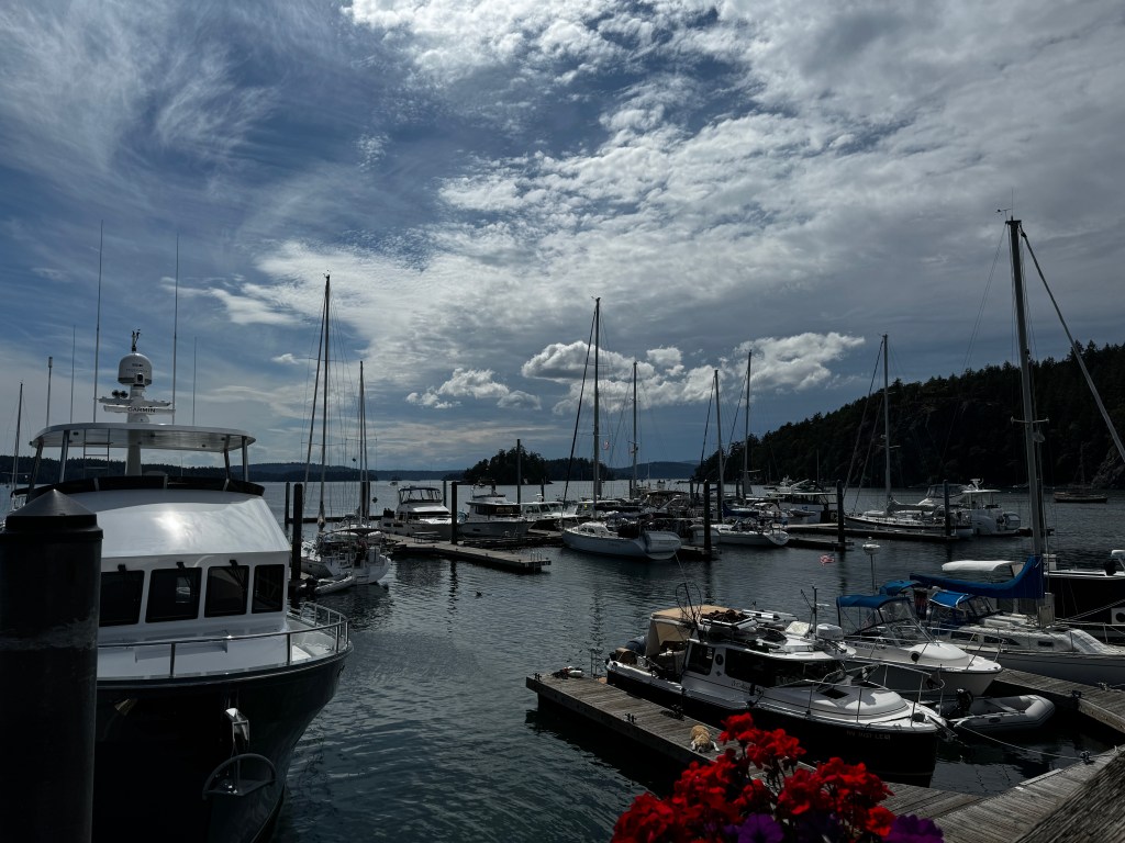
The storm rolled in as we sat eating our pizza on the dock, and the rain drummed on the canvas tent overhead. Lights winked on across the marina, and we retreated to our own cozy nest in Fantasy for a wonderful night’s rest.
Morning dawned overcast and still, and we were out of the marina by 7:30, pushing for home. Tendrils of fog wrapped around the islands, and there was little traffic save for the San Juan ferries, the “American Spirit” cruise ship, and a lone paddle boarder.
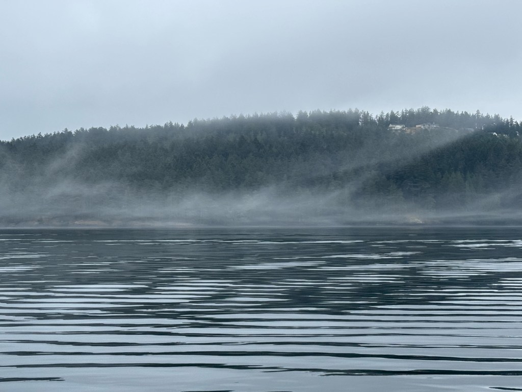
Cattle Pass was pocked with whirlpools, as always, and we swung our way through and into the Strait of Juan de Fuca, where all was glassy calm again. We cut through groups of annoyed seabirds, but saw no puffins in the mix. As we turned south past Port Townsend, the winds picked up and began blowing 15-20 knots directly on our bow. No sailing home for us today…
We hit an incoming tide through Agate Pass and blew through at a record 13.5 knots, and arrived home in time for dinner. As we walked up the steps to our front porch, yellow maple leaves danced in the breeze and spiderwebs spanned several of our pots. We think we heard “we told you so.”
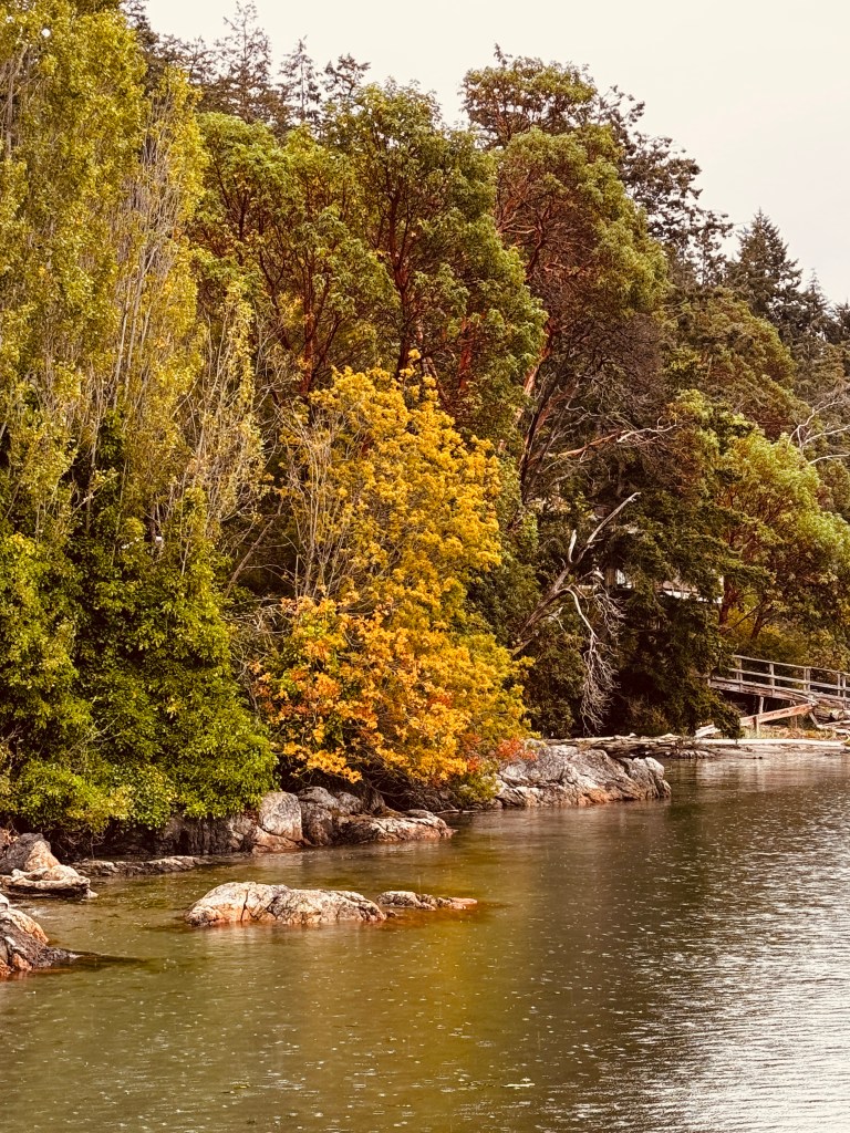
Rolling with the Punches
August 17-18, 2024
One thing boating does is make you oh-so-much more aware of the weather!
We had planned to cruise Howe Sound just north of Vancouver this week, but rain has been predicted for the next 4 days, along with variable heavy winds, and that doesn’t sound like heaps of fun. Perhaps we could tolerate it, but Erich has come down with COVID, and adding that to the mix sounds downright unpleasant. Luckily, he’s not terribly ill, and to date I’m negative…So we pivot, and roll with the punches.
False Creek is a fantastic spot, and we’re moored in Fisherman’s Wharf just off Granville Island. They have room for us to stay an additional night, so we’re opting to wait out the virus and rain, and leave tomorrow for Cabbage and Tumbo Islands across the Georgia Strait, then turn for home.
We spent yesterday re-acquainting ourselves with the area, starting with a visit to the Vancouver Maritime Museum, an easy walk from False Creek along a picturesque seaside path.
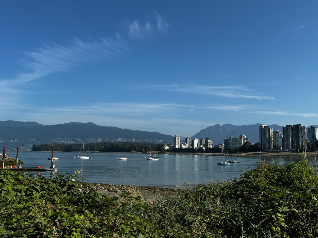
Our previous draw to this area was the off-leash dog beach located just across from the museum, and we always looked longingly at the building as the pups frolicked. Now we would actually get to visit! Happy dogs played on the shore, and it made us miss our pups. On balance, life is definitely richer with them…

Our first stop was outside the building, the Ben Franklin submersible. Built in the 1960s for deep ocean exploration, it housed six people for 30 days as they drifted in the Gulf Stream. Deep ocean exploration was the main goal, but another was a study of human behavior in close, confined quarters. That sounds more unpleasant to me than cruising in rain and wind!

Inside, we learned about the maritime star, the Royal Canadian Mounted Police (RCMP) vessel St. Roch. She was built in 1929 to serve in the arctic, supplying far-flung villages with supplies and transporting those in need. She was designed with a thick egg-shaped hull so she could winter frozen in the ice without being crushed, and was the first vessel to complete the Northwest Passage and circumnavigate North America. She returned to Vancouver in 1954 and was brought ashore in Kitsilano. The museum was built around her, and you can tour her just as she was in the day. It was fun creeping through the narrow, wood-paneled hallways, exploring the close quarters of the forecastle, and looking at the dining table-twelve three-inch open boxes so the crew could keep their plates in place despite the rolling (the captain said the hull’s shape made her “buck like a bronco.”)
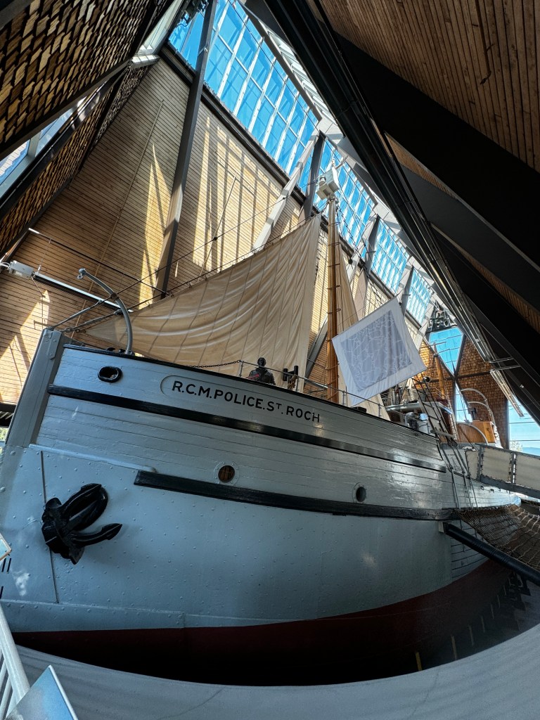
Post-museum, we headed to “Go Fish,” the best fish and chips we’ve ever eaten. It’s operated out of two converted shipping containers on Fisherman’s Wharf, and lines form fast and long. We arrived at 11:30 to a line already stretching 30 people long, and they opened at noon.

It’s a bit reminiscent of the “Soup Nazi” of Seinfeld fame-you have to be ready to bark out your order, pay and get out of the way. There’s no haggling allowed, as one poor customer in front of us discovered. His name was called and he went to the counter to get his order, checked it and said it was wrong, and was told “We always confirm orders. That’s what you get.” No doubt whatever it was was spectacular, as everything there is…
Erich started feeling punk after lunch and returned to the boat while I braved the shoulder-to-shoulder crowds of Granville Island to get some specialty meats I can’t find anymore in Seattle.
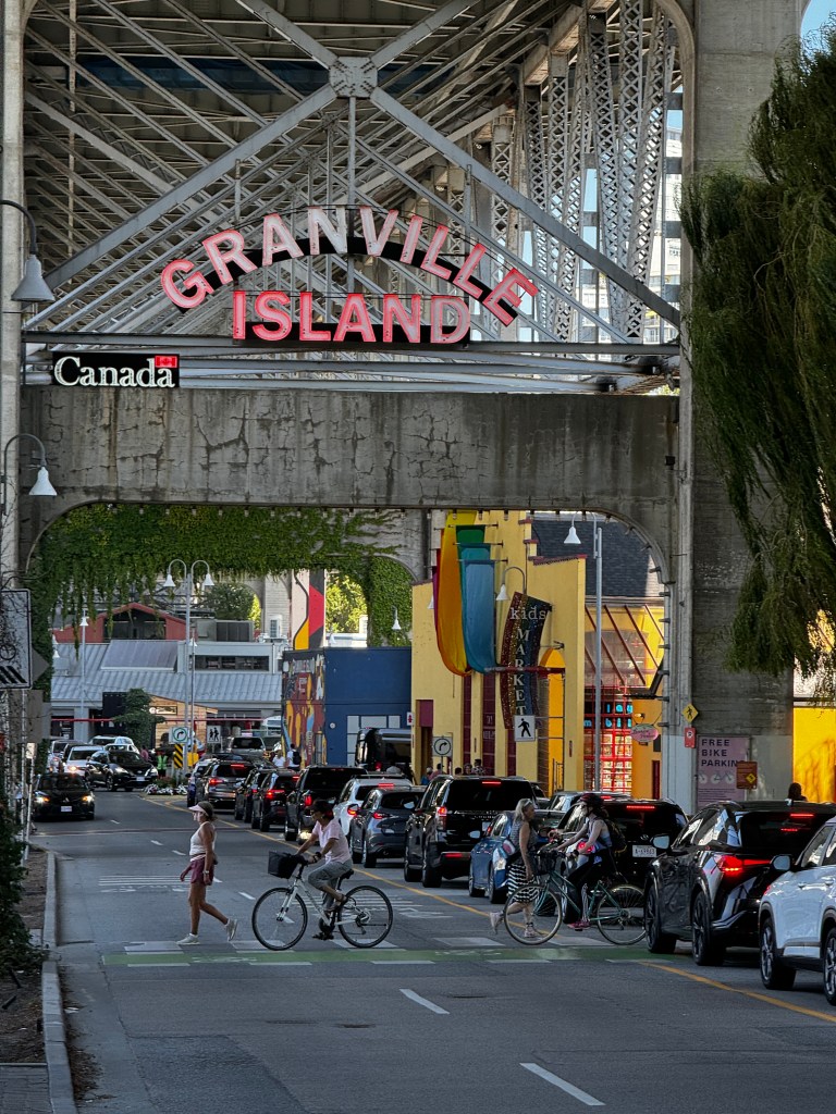
Granville’s market is famous as an epicurean’s heaven, with wall-to-wall culinary delights. I found my beloved Westphalian ham and Hungarian salami, and some wonderful fruits and vegetables.
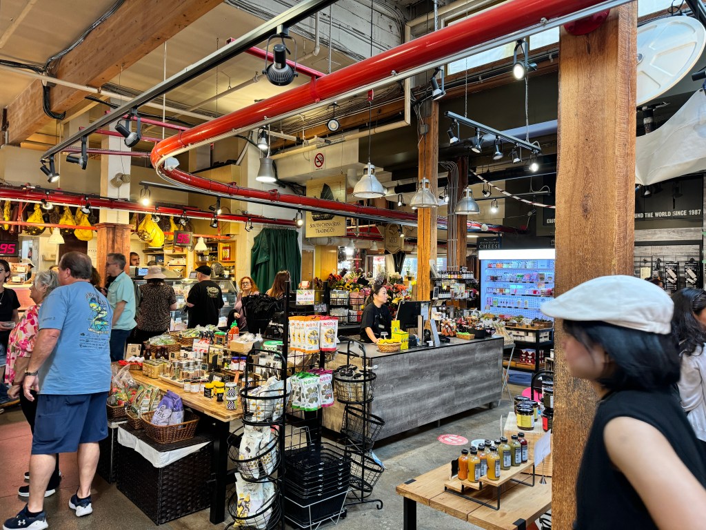
The island was a former industrial stronghold, providing building materials for Vancouver and B.C. It’s former foundries, warehouses and workshops are now filled with small galleries, specialty shops and performance venues. The atmosphere is festive and international-I heard five different languages within a 30 second span. It’s also packed, more so on a sunny summer Saturday, so I secreted my treasures and escaped to the solace of out cockpit to await the storm.
Lightening flashed in the distance and the rain pounded down overnight, but Fantasy kept us cozy and dry. Erich awoke feeling more congested and we decided to walk to the nearest store to get a panoply of meds and a COVID test, which confirmed our suspicions.
Vancouver is one of the most geographically beautiful cities in the world. We walked through leafy neighborhoods just minutes from bustling Fisherman’s Wharf, and views surprised around every corner. Early Sunday morning only a few dedicated dog-walkers were out, and it was peaceful, if overcast and humid.

Erich returned to the boat with his stash of remedies and I trudged across the Burrard Street Bridge in the rain-a last ditch attempt to remove the rounded-out screw from our furler before we set out tomorrow. The views were beautiful and the walk took me to the Davie region of Vancouver which reminded me quite a bit of downtown Seattle, both the good and bad. Charming restaurants, boutiques and buttoned-up businesses woven together with greenery and bike paths. And the same homelessness and drug addiction as in downtown Seattle, with people bundled in blankets in doorways and others injecting themselves openly. My destination, Davie Street Hardware, had a security guard and everything over $5 was behind padlocked grills.
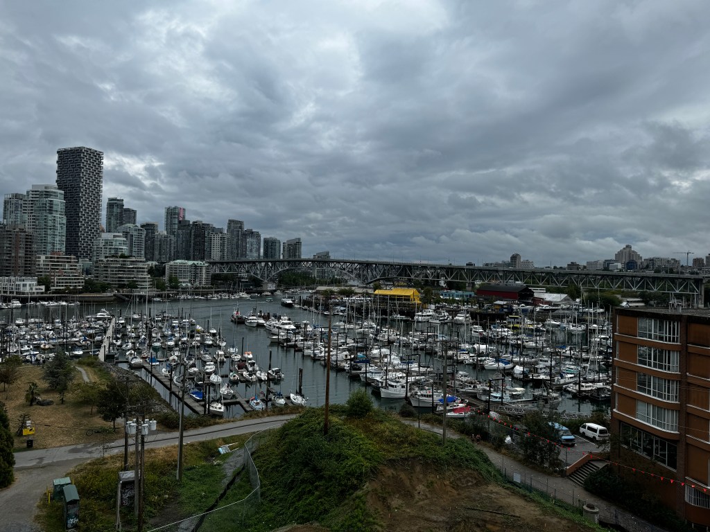
Back at Fantasy, the last ditch effort with my shiny new stripped screw retractor failed, so while using the mainsail remains possible, refurling it will require a trip to the foredeck. We’ll see how the weather and my health hold. I am making Erich wear a mask…
Erich was feeling better post-remedies, and we went for a dinghy sightseeing ride up False Creek after which he dropped me at the Granville Island dock in front of several hundred people eating al fresco. I managed to get out of the dinghy without falling in the water, and Erich made an unintentional but impressive pivot and retreat. As I climbed the gangway a woman said “now that’s the Uber I want!”
I shopped for bread and tea for my ill Uber driver, gazed longingly at more charcuterie, and walked back to the boat, where I’m now languishing in the cockpit flirting with seals.
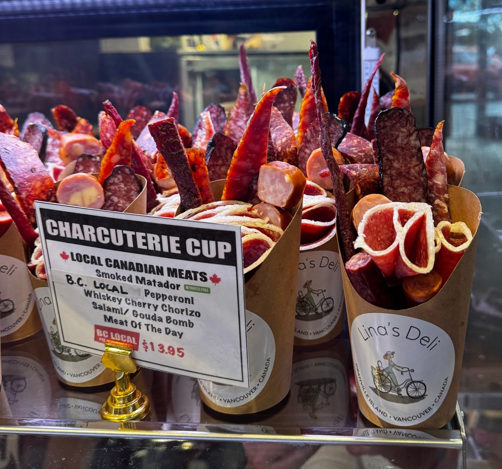
Some punches hurt less than others.
Making Peace with Bliss
August 15-16, 2024
I kept repeating a quote a dear friend reminded me of when I retired: “A ship in the harbor is safe, but that’s not what ships were built for…”
What would one of our adventures be without a bit of calamity? It makes the sunsets in the cockpit so much sweeter.
We set out from Anacortes early, and were blessed with a southern wind and an incoming tide. We sailed past Sinclair Island on a broad reach, and the old lighthouse caught the morning sun as though spotlit on an otherwise foggy morning.
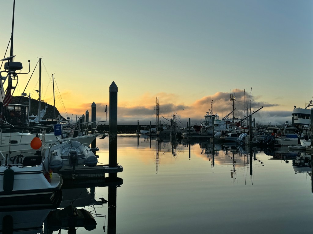
Sailing downwind all was quiet and tranquil and we could hear the seals barking from the beach and the dolphin breathe as they passed astern. My version of absolute bliss! The captain relaxed at the helm as I managed the sails and we shot through Padilla Bay wing in wing-the mainsail out on one side and the jib on the other. As I congratulated myself on sail management, I decided it was time to tackle our mainsail mystery: it would not go up fully, stopping about three feet from the top of the mast.
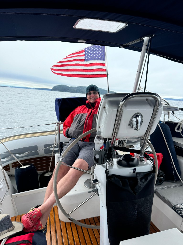
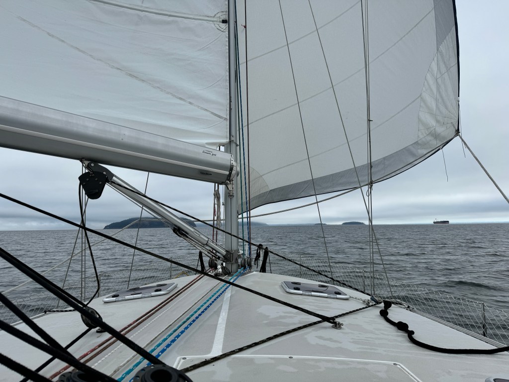
In retrospect, I should have left well enough alone but apparently bliss wasn’t good enough for me and I wanted perfection. Nota bene. Deploying our preventer to avert the dreaded accidental jibe, we examined our mainsail to discover it was bound by a length of cording at the back (clew in sailing jargon), and bound up in a mass. We struggled to remove the cording-it wasn’t budging and was in a very inaccessible spot. After raising and lowering the main many times, we managed to make the mess substantially worse, and the sail was so wadded up it wouldn’t re-furl (wind up) and we had to stow it as best we could with cords and bungees. Not a good look and tough to do under way in a 10 knot breeze.
We decided to figure it our at the dock in Blaine and motored the rest of the way there, mooring beside what appeared to be a derelict cabin cruiser. Re-examining the sail, now distributed all over the foredeck and dock, we still couldn’t reach the cording binding the foot. The sail blew up, and a spectral 80-something year old trans-woman stood under a fold and said “I’ve got a ladder you can borrow.” She turned our to be our neighbor on the thought-to-be derelict boat, and a sweetheart without whom we couldn’t have cut the cording and unbind the sail.

Cording removed, we struggled in a crosswind to raise and re-furl the sail and ended up getting the furling line over-wrapped (meaning one of the coils overlaps another in a fashion that won’t allow it to go up or down.) So, once again, we had a deployed mainsail that wasn’t moving and we re-bundled it with bungees and took a break for dinner and a lovely dinghy ride to view our other neighbors, the very loud, very smelly cormorants nesting on the nearby breakwater.
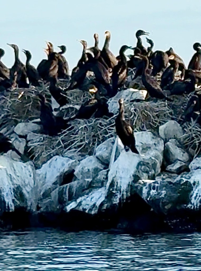
Returning to Fantasy, we proceeded to try and remove the furling drum cover under which lay the dreaded overlap that we had to unwind to be able to lower our mainsail. It has three allen bolts, two of which came out easily, but the third of which was rounded out and wouldn’t come loose despite a plethora of prayers, elbow grease and creative use of epoxy.
We decided to wait until we were in a low-wind situation to try and deal with this again, and leave our mainsail looking sad and deal with it under way to Vancouver, when only light winds were predicted.
After a sleepless night spent mentally furling mainsails, we departed in a light breeze that kicked up to substantially more as we made our way north on the Strait if Georgia. A disconcerting alarm kept going off below, and I finally discovered the cause-a high wind alarm on an accessory Garmin we rarely use. It was blowing 20-25 knots. No attempts to furl in that, and we limped into False Creek in Vancouver, B.C. looking a bit derelict ourselves.
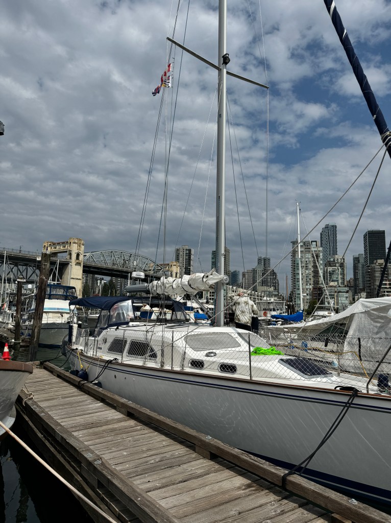
After another break to explore Granville Island and enjoy a Gelato, we returned to find our position bow to wind (the perfect orientation for dealing with irascible mainsails) and were able to cut our overlapped furling line (which we hated anyway) and finally manually re-furl our mainsail! We look so much more civilized and could potentially sail again this trip, but will definitely aim for bliss and not perfection!
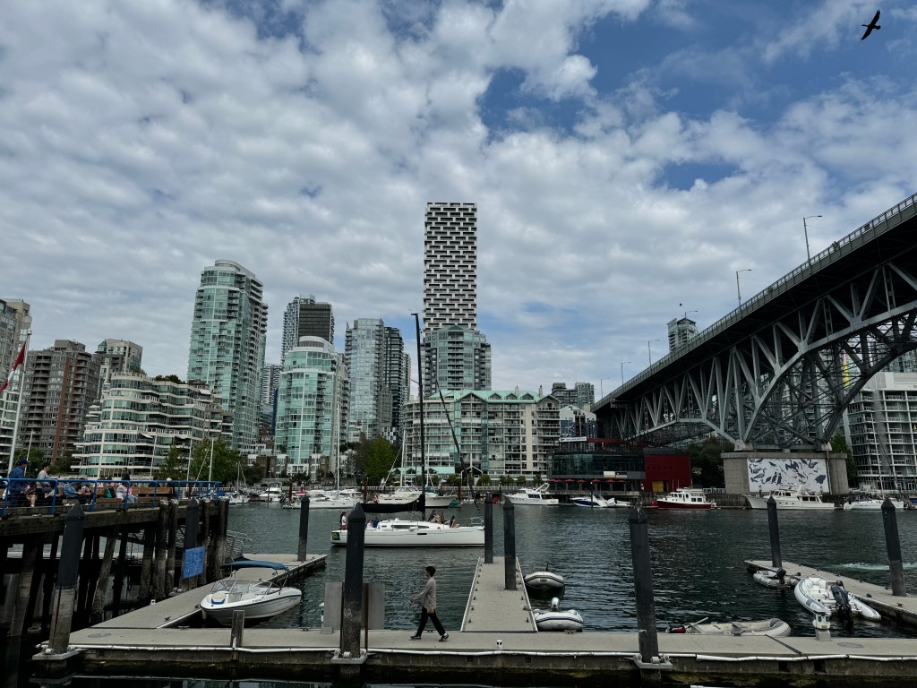
I celebrated with champagne in the cockpit. I now understand why sailors drink.

Anacortes Treasure
August 14, 2024
What a wonderful day!
It began with coffee in the cockpit as the marina came alive. The heavy cloud cover had blown away overnight, and all was bright sunshine.
We did a bit of diesel engine maintenance to reward our girl for her stellar performance on yesterday’s long haul-she got new oil, new oil and fuel filters and a thorough cleaning of her sea strainer. That took us until 10 am, just in time for us to hit the town and check out the shops and the Anacortes Museum and Maritime Center.
I’ve always wanted to check out the W.T. Preston Snagboat, a steam-powered sternwheeler dating from 1914 when she was christened the Swinomish, sank in strong current in the 1920s and was repaired and re-christened the W.T. Preston. She served the Puget Sound region until her retirement in 1981, plying the rivers and navigable channels for snags and removing them with her enormous bow-mounted crane.
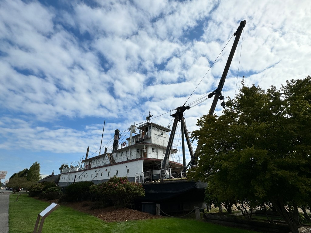
Her crew lived aboard-the officers, all members of the Army Corp of Engineers, lived on the top deck, and the civilian workers on the bottom deck, and there were rules against the two mingling so they spent their days confined to their own decks, working six days a week.
Nevertheless, it was a coveted gig. In her entire history, 1914-81, she had only seven captains and no workplace injuries or fatalities, an amazing feat given they were working with dynamite and heavy equipment.
The ship is in original condition and beautifully preserved, staffed by a knowledgeable docent who brings it’s history alive. A definite must-see in Anacortes.
Attached is a small maritime museum, where exhibits include Anacortes’ own Don Hume of “The Boys in the Boat” fame, and the building of the “USA-17,” the BMW/Oracle racing trimaran that won the America’s Cup in 2010 and ushered in a new style of sailboat racing. With it’s carbon-fibre and aluminum honeycombed fixed mainsail, it can sail up to three times faster than the wind! Who knew it was built in Anacortes?

But the topper of the day were a series of old Anacortes High School Yearbooks dating from 1920-1982.
A bit of context: Erich’s paternal family were from Sinclair Island in the San Juans, and his grandfather left the island to become a marine diesel mechanic in Anacortes. Erich’s father, Robert, was born here, and grew up with his older brother Gordon attending the local schools, including Anacortes High School. And we found their classes, and even a yearbook inscription from Erich’s dad! That’s Bob in the third row just to the right of the middle, in a black button-down shirt. I’d recognize that jaw and chin anywhere! His inscription is on the lower right-hand page. Erich was over the moon!
We had a lovely lunch of amazing fire roasted pizza, browsed the local marine stores and discovered an incredible used book store, Pelican Bay Used Books, that reminded us of the old Elliot Bay Book Company on Pioneer Square in Seattle.
After a final stop at a hardware store to buy a new hose for Fantasy (she’s just preening with all the attention) we returned to the boat, rinsed her down, and boarded our dinghy “Reality” for a tour around the marina and nearby coves. We ended our day with chilled watermelon in the cockpit, and I’m now firmly back in love with cruising and exploring the Pacific Northwest.
Fog and Rollers
August 13, 2024
Back in the cockpit for the sunset, but what a difference. The clouds moved in last night, and we awoke to leaden skies and not a whisper of wind. We hit the road early, as we had a long motor to Anacortes.
The sea rolled in scalloped, silky ovals and the Seattle skyline receded, a series of grey pixels off our stern. Up ahead a fog was building, and we gave thanks for radar and AIS (Automatic Identification System) that gives us information about solid objects and vessels that we can’t see. Though as it turns out, one of the few vessels on the water with us we were able to see in the fog even without the aid of electronics: the enormous Nimitz-class super-carrier Ronald Reagan, returning from deployment overseas.
Even if we hadn’t seen its bulk looming spectrally above the surface fog, the chatter on VHF and the flashing blue lights of it’s guide boats would have alerted us. On radar, it looked like an island! We entertained ourselves listening to the guide boats hailing fellow boaters on VHF, reminding them to stay 500 yards away. Most boaters were respectful, but one fellow insisted that he was going north and his plotted path was not amenable to adjustment. Last we heard, he was given very detailed instructions and an escort.
We continued north accompanied by the S/V “Thalia,” identified on AIS and emerging now and then from the fog a quarter mile off our port quarter. We traveled in this pattern for almost two hours and felt slightly sad when we parted ways at the midpoint of the Strait of Juan De Luca and they headed towards San Juan Island.
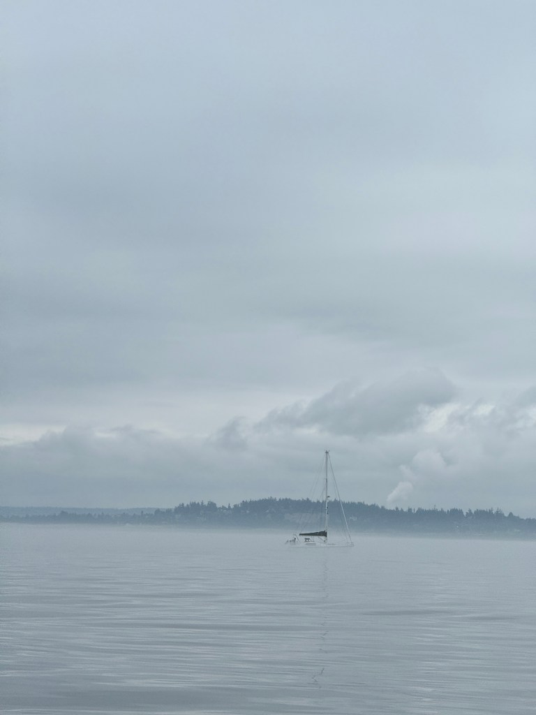
The fog began to lift and we were hit with rollers, ocean swell coming in from the Pacific which rocks a sailboat from side to side and can be very uncomfortable. One solution is to raise sail and use the wind to stabilize the hull, but we had just a whiff of breeze. I tried anyway, and we spent the last part of our journey in a scrap about whether this was helpful or not. What we could agree on was that Phoebe would have hated all of it, and with that we came together again and I lowered the sad-looking sail.
We turned east and followed the Guemes Channel into Anacortes, the heavy skies doing nothing to improve the view of abandoned canneries and the petroleum refinery, but at least we were out of the rollers. We docked at Cap Sante Marina, a tired and irritable duo.
A peach cobbler at the marina’s waterfront Cabana restaurant reset our moods. After an evening stroll we watched the lights twinkle on in the marina, and even the refinery looked good!
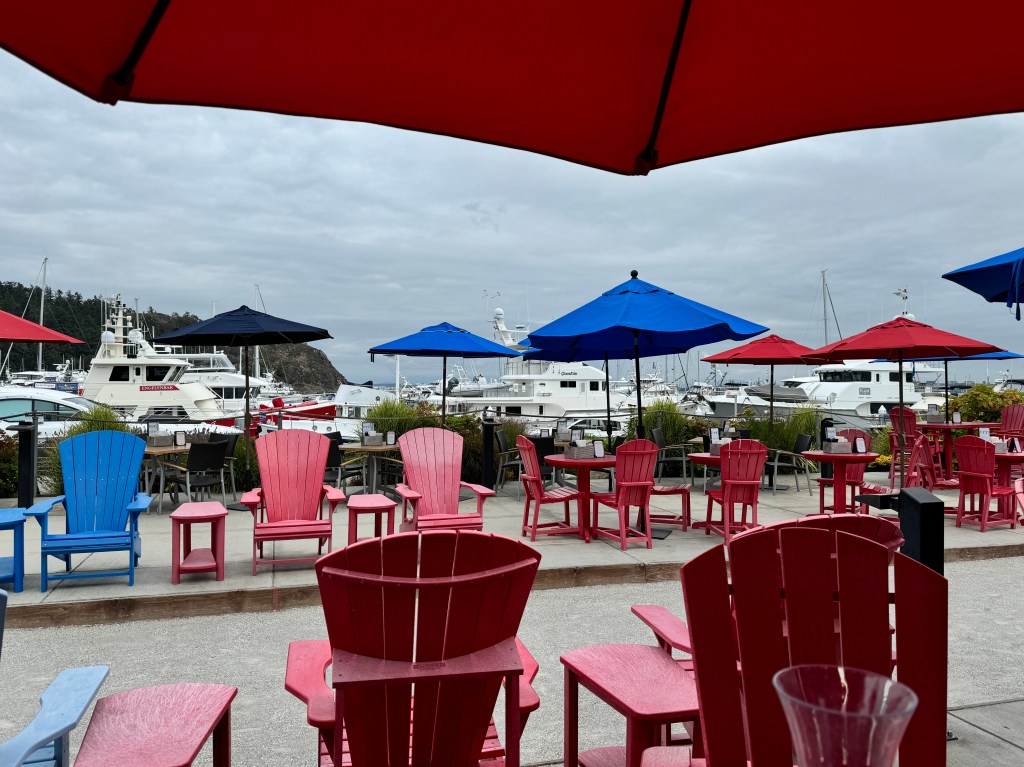
The Sailing Adventure Begins
August 12, 2024
The gulls are kicking up quite a fuss on the Edmonds breakwater, and our flag slaps softly off our stern in a southern breeze. We’re moored not far from home at the Edmonds waterfront, chosen for the first night of our two week adventure for it’s proximity to an off-leash dog park. There’s only one thing missing…dogs.

After going out earlier this month with my sailing instructor from Port Townsend, we all agreed that panicked dogs + sailors regaining their sea legs = disaster. So, the pups are among friends for a long spa stay ashore, and we set out on our own this morning.
Turns out it was a wise choice. We were able to sail almost the entire way on a close reach, which Phoebe would have hated given the associated heeling.

Phinn has been getting more comfortable aboard, but his flailing dog nails still take their toll. We have a lovely teak floor for our cockpit which we’ve never used for this reason, and as I write I feel the smooth, cool slats under my bare feet and sigh with contentment.

Erich grew up in Edmonds, so this was a bit of a nostalgic visit browsing the small shops of main street and having lunch at Anthony’s Cafe on the waterfront, a favorite of his mom’s.
We reminisced about how much has changed since our last lunch there with our parents, now all on to whatever lies beyond this life.
We wandered the senior center where his mom used to volunteer-now a sleek, modern affair with a museum displaying the paintings of Northwest Women. She would have loved that.
We drank bubble tea overlooking Brackett’s Landing, where I learned to scuba dive a lifetime ago, and watched the Kingston ferry drift in.
We’re wrapping up the day in our cockpit, listening to the soft tones of an ABBA-themed outdoor concert and the float planes burbling overhead, hoping our pups are just as content after a long day of play.
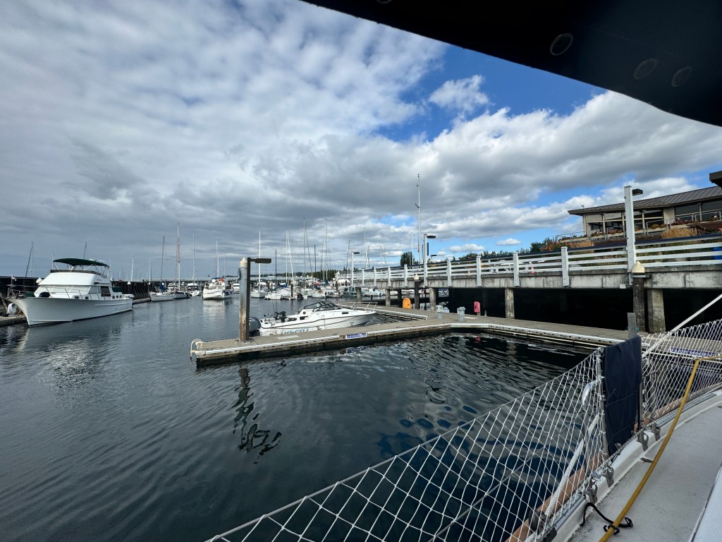
Memories
July 28-31, 2024
An electric blue dragonfly hovers around the sedge grass at the edge of Barclay Lake in the Cascade Mountains, it’s shadow inky on this bright, sunny day. It’s a spectacular spot, tucked in a valley and presided over by the granite carapace of Baring Wall. It’s a weekday, and the normally busy trail is almost deserted, which is a good thing as the few people with dogs we do meet are off-put by the feral Phinn.
We’re here to honor memories and friendship.
Erich grew up in Edmonds, just an hour’s drive away on the shores of Puget Sound, and met his lifelong best friend, Larry, there. Together, they explored the Cascades, and their most frequented spot was Barclay Lake.
As we wound through the moss-covered trees, Erich recounted how Larry could hike forever, and would often sprint ahead and set up camp as he of the fast-twitch fibers struggled behind. There were epic games of monopoly, fishing at the lake’s edge in front of their tent, cowering from afternoon thunderstorms, and unpleasant encounters with spiny Devil’s Club.
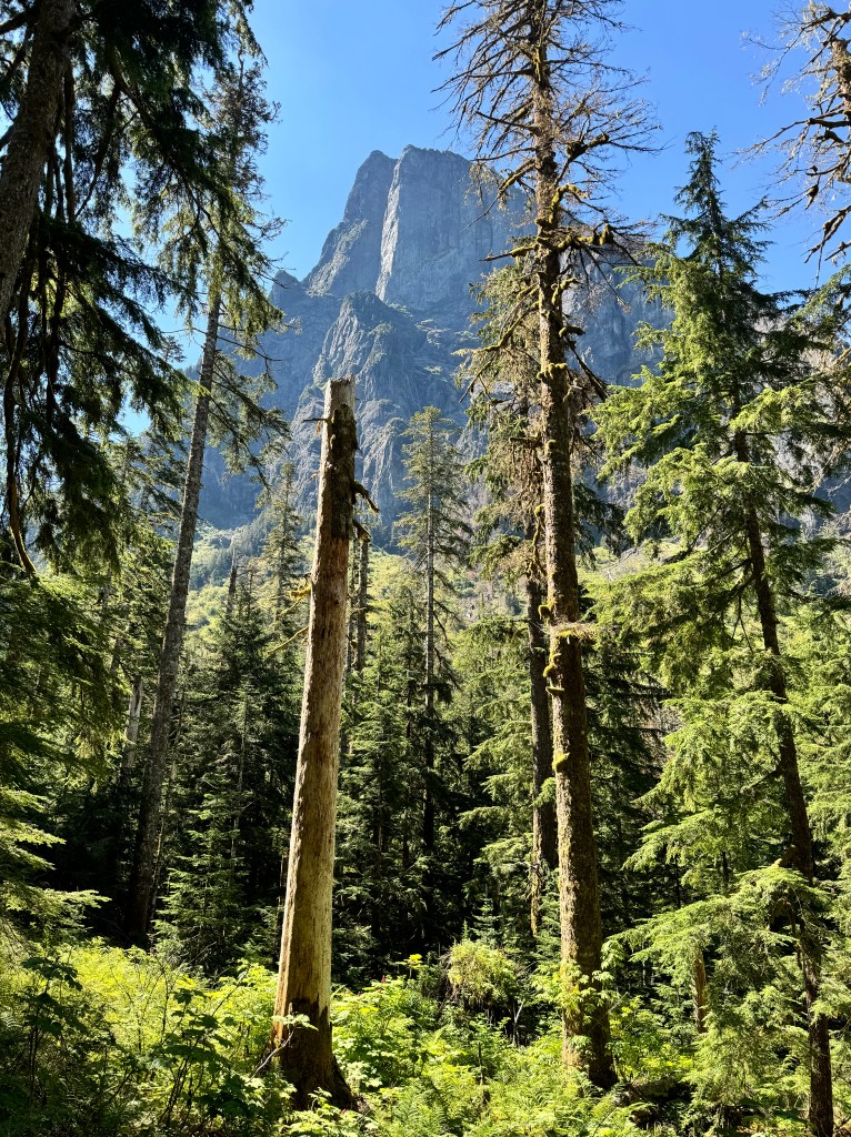
They would bring an inflatable raft, and once, while floating in the lake, a flock ravens flew overhead and Larry remarked “Isn’t that interesting-it looks like it has a slice of bread.” Then realization dawned-their week’s supply of food was being ransacked ashore.
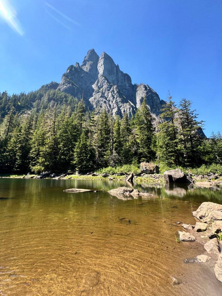
Another time, in a “how do we ever survive to adulthood?” moment, they decided to raft the roaring Skykomish River in the same fishing inflatable and were overturned in the rapids. Erich recalls being underwater for long enough to see his life flash before his eyes, before surfacing and clambering on a rock mid-river. Larry had made it to shore, and in a maneuver classic of his steady self, unwound the rope from around their raft, tied it off to shore, and set about rescuing Erich.
They shared many more adventures over the years, and stayed in touch as both had families of their own. They sometimes went months without speaking, but reconnecting was an easy resumption of their friendship. When we returned to Seattle in 2009 one of Erich’s pleasures was renewing their brotherhood.
They texted almost daily during the last few years, and I’ll never forget the text Larry sent on Erich’s birthday this year: “You’re the best friend I’ve ever had, and always will be.”
Larry lost a hard-fought battle to cancer in the early hours of July 28. While relieved that his suffering has ended, as with all loss it is difficult to imagine a world he no longer inhabits…
Erich said he felt his presence as we hiked, and knew he would be happy to be remembered as a young and carefree spirit in the mountains he loved.
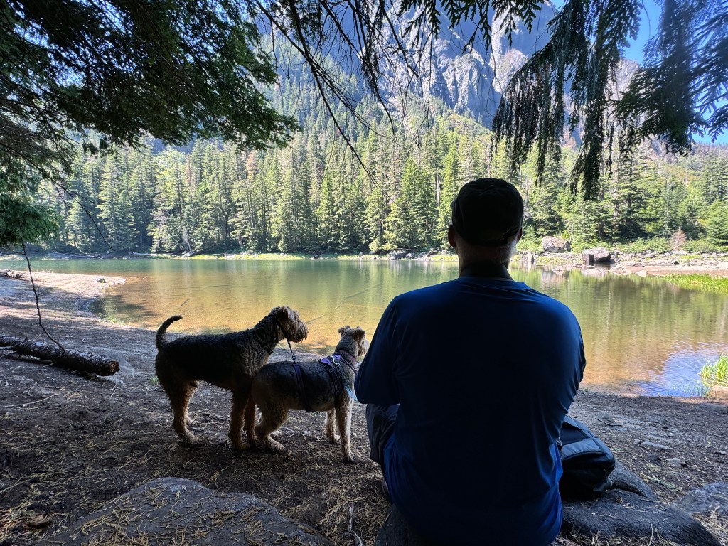
Musings from the Cockpit
July 13, 2024
I’m in a bit of a holding pattern, quite literally waiting for paint to dry. Well, actually varnish.
We’re refinishing the teak toe rails on our sailboat, and varnishing is a lot of work!
Because I can’t leave until it’s somewhat dry so I can tie her up securely, I’m sitting in the cockpit on this sunny summer morning.

It’s not a bad gig. The seals are pupping, and moms and babies are diving about the stern. It’s so cute to watch the babies crawl up on their mom‘s backs, and experiment with their flippers.
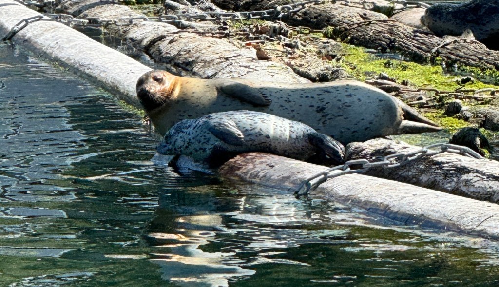
That’s pretty par for the course for our summer thus far: Working on our sailboat; walking the pups on the beach; watching the sunrise from our deck and rooting for our hometown Mariners.
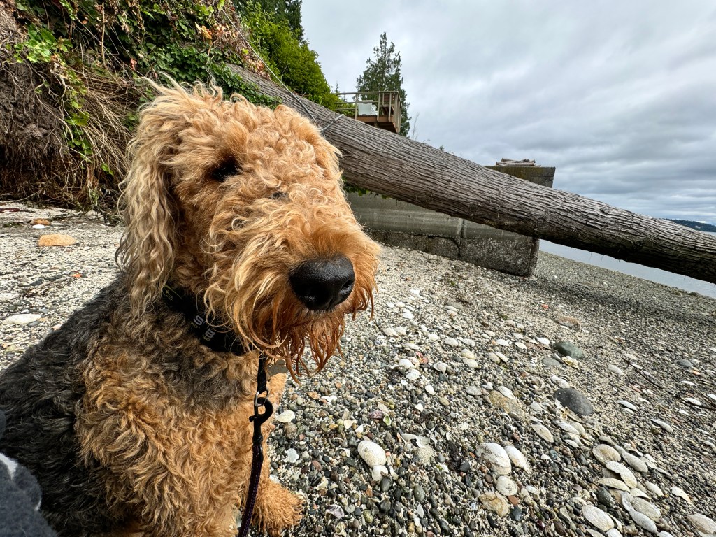
Not many trips so far, but where we have gone has been amazing!
We took our sailboat, Fantasy, up to Port Townsend where I was taking a sailing class with friends over the weekend. Trying to get back on the horse after our unfortunate near-sinking in Desolation Sound in 2021…but that’s a whole other story.
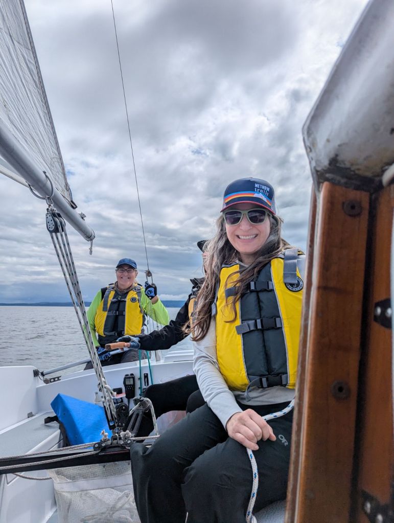
We moored in the beautiful Point Hudson Marina, within walking distance to the charming Victorian waterfront. We browsed the shops, ate ice cream cones, and watched the sunset from the lovely Sand Beach at Fort Warden Park.
And the sailing class was amazing!
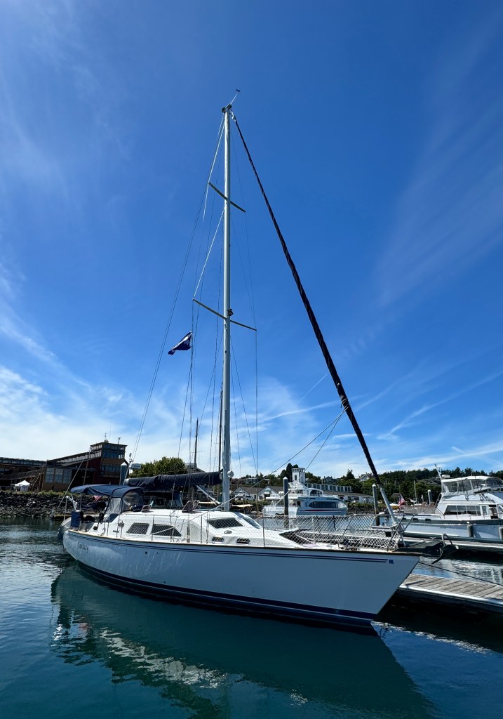
My first two classes were with somewhat suspect instructors. The first took us out in a gale in November, and we nearly capsized in an accidental jibe.
I didn’t really learn much after that, except that summer sailing was more up my alley.
We did an offshore sailing class in Fort Lauderdale about 10 years ago, which was kind of a course in what not to do…
We were going to be gone for three days offshore, and were told that food would be supplied, but we needed to bring our own beverages. Our captain showed up with three cases of beer, all for himself-a three day supply.
He typically passed out in the cockpit around midnight, and we roused him each morning from his stupor to begin the day’s sailing. I remember one particularly uncomfortable evening where he cornered me while drunk and asked me about his E.D. As I looked at the scattered empty beer cans and waited for Erich and our friend Rob to rescue me, I decided this was a man whose intuition and judgment were suspect. Sailing consisted of him fishing off the stern and emptying the black water into a marine sanctuary while we sailed the boat. Instruction was minimal. At least the weather was lovely!
One might question why I still want to sail after all these near-calamities. My answer to that is that some of the true moments of grace I’ve experienced in my life have been aboard our sailboat.

We’ve watched orca splash south of Bainbridge Island on a crisp winter’s day, saw the sea boil phosphorescent around our stern during an unexpected night storm in the San Juan Islands, listened to seals stunning fish by slapping their tails in a quiet pre-dawn, and seen hundreds of dolphins arcing through a tangerine sunrise in Cattle Pass.
0ff Stuart Island we bobbed in our dinghy at sunset trying to fish, as seals watched us with pity while feasting on their catch. Back aboard, sipping white wine I had chilled in the Salish Sea, an eagle with a salmon in its talons flew overhead-There’s just something about experiencing the Pacific Northwest in a boat.
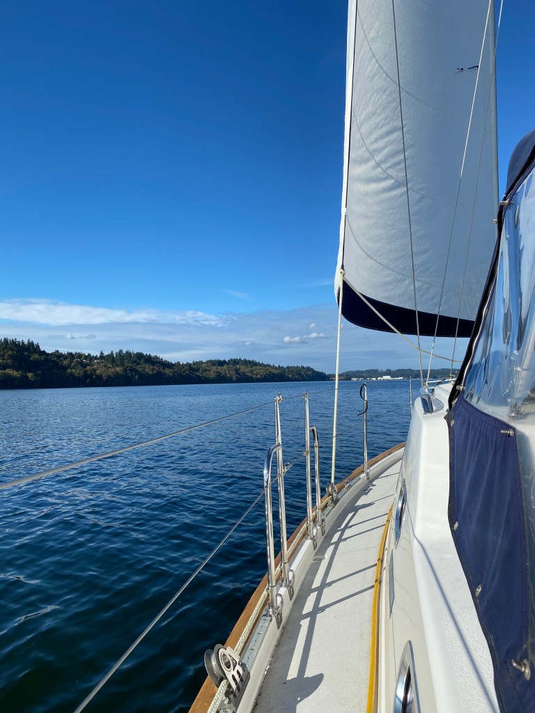
So, armed with knowledge from a great instructor (I highly recommend Sail Port Townsend) we’re preparing to head north in August to Canada’s Sunshine Coast, as long as the varnish is dry.
By-the-Wind Sailors in New Albion
April 10-13
Millions of sheer, crispy skins web the beach, sticking together at the end of life. The dogs have run around these on almost every beach we’ve been on.

What I thought were charming papery shells in San Simeon are actually the dried corpses of a type of jellyfish-like sea creature, velella velella. A dazzling indigo in life, they bob on the ocean’s surface gathering nutrients in a pseudopod-like mouth and are propelled solely by a sheer sail that protrudes from their backs, giving them the name “By-the-Wind Sailors.”
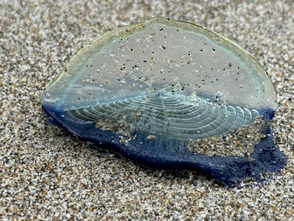
Normally they live far out at sea, but being dependent on the winds as they are, they are prone to mass beaching, and that is what is happening this year up and down the Pacific Coast.
We learned this, and many other interesting tidbits, at the wonderful Yaquina Head Lighthouse Visitor’s Center outside of Newport, Oregon.
Newport sits on Yaquina Bay, and has two interesting beautiful lighthouses. The first, Yaquina Bay Lighthouse, was built in 1871, served for only 2 years as it wasn’t visible enough and was replaced by the more remote lighthouse on Yaquina Head. It was saved from destruction by the local historical society and now offers free tours of the restored interior.
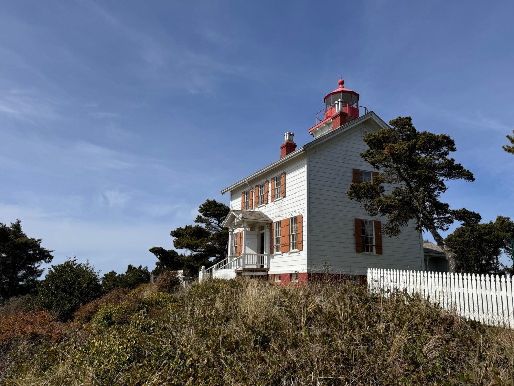
This is one of the only lighthouses that the keeper’s home was also the lighthouse, and we got a view of the platform where the keeper slept just below the light, replenishing the pork oil (did it smell like bacon?) to keep the light burning while his family slept below.
The new lighthouse sits 4 miles north on an isolated spit of land and took years to build due to difficulties transporting materials to this remote area, The waves crash against the cliffs all around, and most ships had to dock in Newport and the heavy bricks and lens shipped overland on very primitive roads via oxen.

The keepers were very isolated, but could expect surprise inspections from a white-gloved official who checked for cleanliness of the facility and adherence to myriad rules. One tale recalls a 2 am inspection during which the assistant keeper was found in “slovenly” conditions. He resigned soon after.
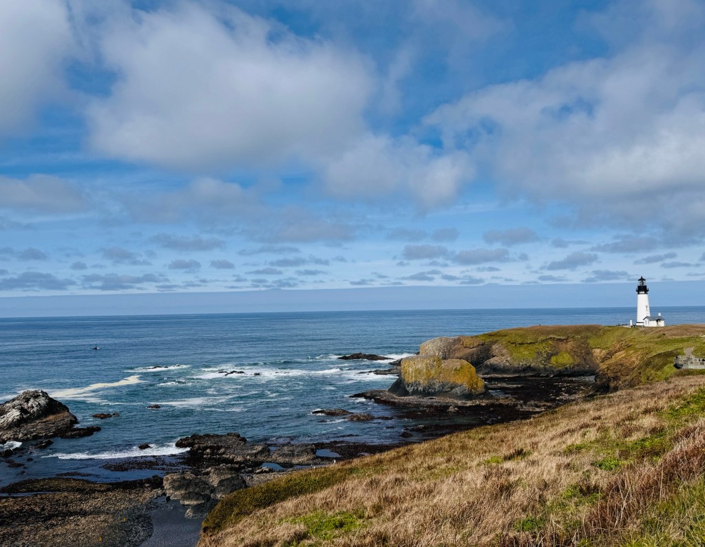
This is also the area that remained cloaked in fog and mystery until late in the 1700s, when Captain Cook was sent forth to find the elusive Northwest Passage. He explored “New Albion,” as the Pacific Northwest was then called, and found only intemperate weather and named several areas, including that around Yaquina Head, “Foulweather Bluff.”
Post-lighthouse exploration, we were inexplicably in the mood for fish and chips. We have repaired our relationship with Siri since Ventura, and she guided us to sketchy-looking plywood shack beside highway 101. Patrons sat outside at picnic tables sporting classy T-shirts: “I’m not Mr. Perfect, but I’ll *$@! you until he arrives.” Despite our initial misgivings, the fish and chips were quite possibly the best we have ever had. When in Newport, be sure to eat at The South Beach Fish Market. Just don’t read the T-shirts.
Back at camp, the pups ran on spacious South Beach, and we enjoyed a movie fest in Boo’s nest of a bed while the rain blew in and pattered on her large window. A cozy day.
Pushing to Astoria the next day, we entrusted Siri with directions to our final lighthouse of the trip, Cape Mears. I was in the lead, as Erich and the pups were waylaid by a slow gas pump.
I turned where Siri told me, to find myself on a beautiful two lane road that gradually became more winding and rough the father I went. I tried to text Erich, but was out of cell range most of the time. When I did get through, he told me he was turning around as Boo was taking a beating and poor Phoebe, who was riding shotgun, was thrown into the wheel well by a vicious turn. As I was almost there, I continued on.
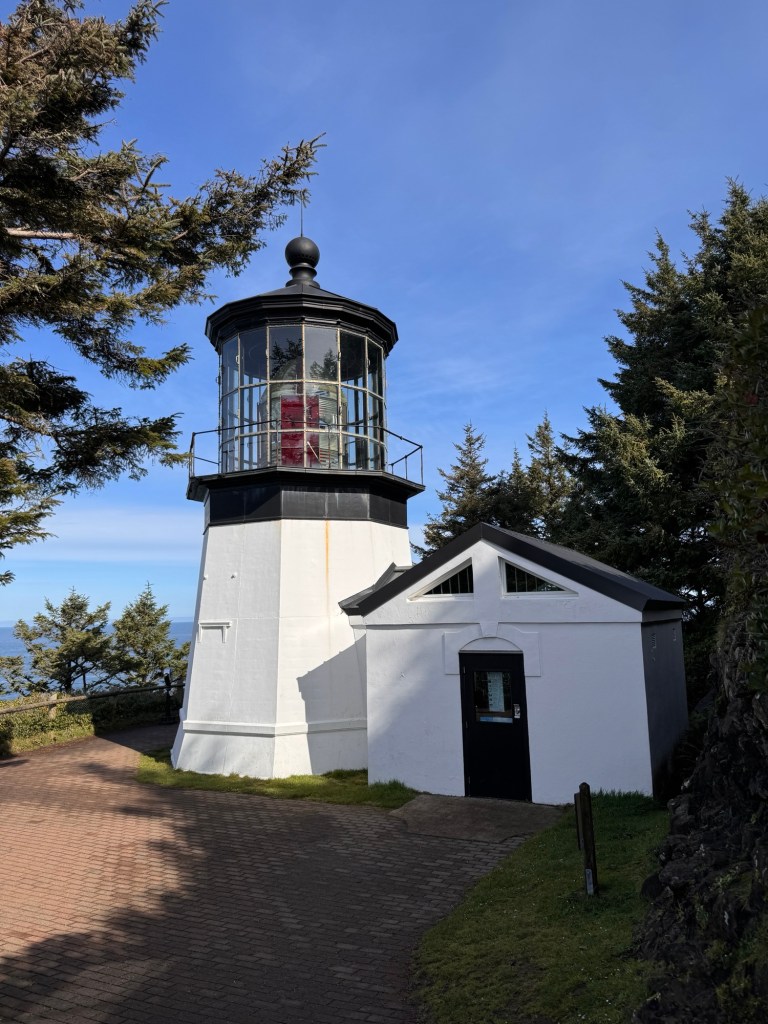
So glad I did. The lighthouse, while not a huge structure, sits on a rocky cliff surrounded by sea mounds teeming with bird life. Father out, the sea has eaten arches into many of the mounds, and it crashes and froths through them. Grey whales migrated north beyond, seen by a crowd with binoculars huddled at the cliff’s edge. A tough spot to reach, but worth it!
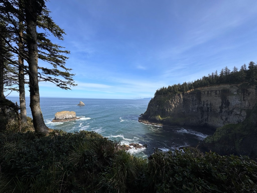
Or was it? As I left, a sign pointed left to Highway 101, nine miles. That’s vs. the almost 50 I had driven from 101 farther south….Siri? She had misguided us again, and when I finally reached Erich at our last campsite at Fort Stevens in Astoria, he said she had taken him on yet another 20 mile detour through the countryside only to rejoin Highway 101 only three miles north of where he had left it. I’m going to renew my love affair with paper maps.
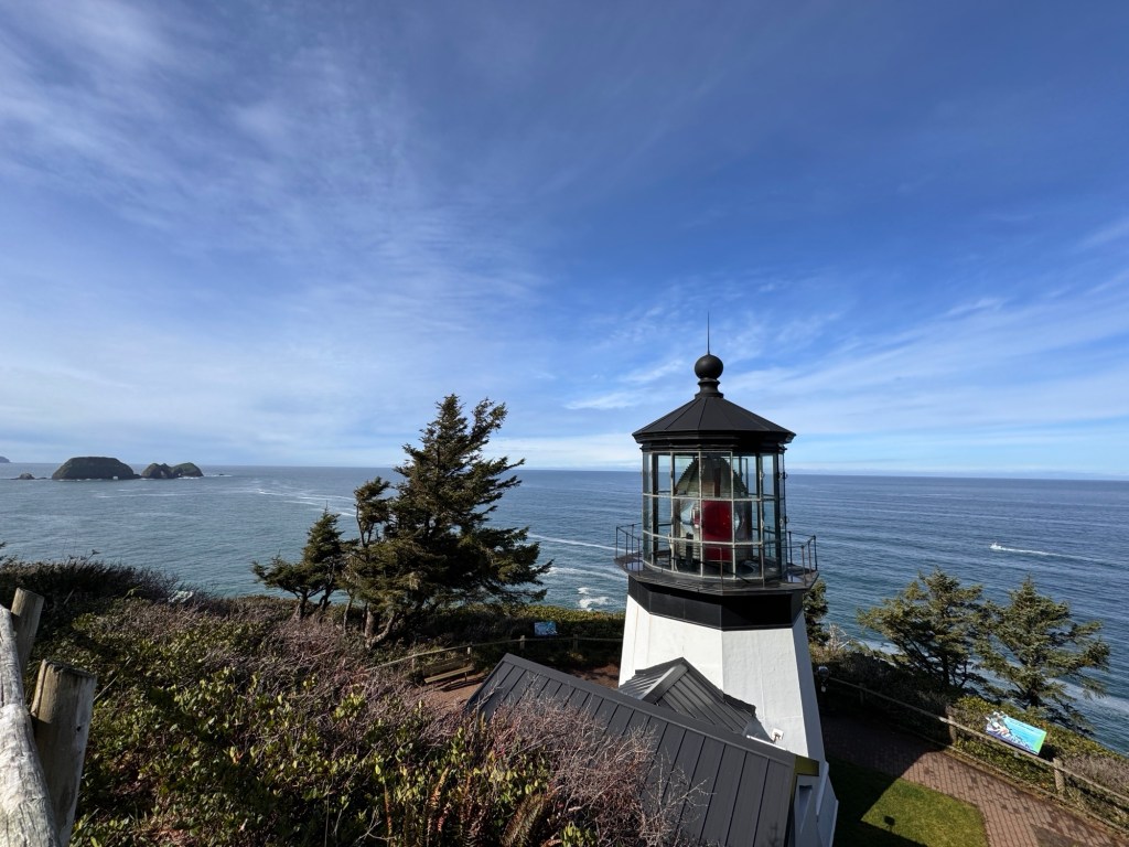
We drove around Astoria on a bright, sunny day with a Princess Cruise ship in town and people teeming on the streets. The Columbia River was a vast, cobalt blue and wooded hillsides rose softly from it’s banks. I’m sure the tourists were charmed, as were we.
After a last walk on the beach and a final photo of Erich and the airedales in front of the 1904 wreck of the Iredale, we were ready to have the winds sweep us north. Home to New Albion!

Back in the Land of Lighthouses
April 8-9, 2024
I walk the pups the mile from our campsite to Bullards Beach, through a gauzy Turner-esque landscape of bonsai coastal pines hung with moss. Wild turkeys gobble in the background, and all is peace until Phill sees another dog…

We left our lovely campsite in the redwoods and crossed into Oregon yesterday. Highway 101 swept along the coast, and pullouts gave access to expansive, empty beaches. As we couldn’t check in to our site until 4pm, we stopped at a particularly gorgeous one that had no name to let the dogs play.

We spent an hour at this no-name beach, and thought what a difference from California, with all it’s restrictions and crowding. It’s understandable why people are migrating north.
We arrived in Bandon in the afternoon, found our campsite, deposited Boo and set out to explore. Bandon sits on a gorgeous stretch of the southern Oregon coast, and famous for it’s winter storm watching. Walking the jetty at the Coquille River Lighthouse, we could understand why. Huge rocks and boulders were thrown across the walkway, and chunks of jetty concrete removed from the battering.

Even as we walked, under sunny skies, the force of the river’s outflow hitting the incoming tide produced enormous standing waves that broke dramatically around us, keeping us from walking the entire length. The lighthouse sat golden in the late afternoon sun, and we imagined this was a lovely spot to watch the sea rage back in the day.

Continuing down the coast, we stopped at Face Rock, a large monolith surrounded by scattered sea stacks. Scotch broom bloomed yellow over the cliffs and happy dogs played freely on the beach. The force of the sea colliding with the rocks created a fine mist that softened the scene, enhancing the dreamy effect.

It rained overnight, and the park was aglow with misty sunlight in the morning during our walk to the beach. Erich stayed back to de-sand Boo, and Phinn and Phoebe kept me busy-I reached the end of a roll of poop bags to find the following fun message:

Luckily, that wasn’t necessary!
We played on the beach until the clouds rolled in, then set off to explore again after the rains passed.
20 miles south of Bandon sits Cape Blanco, another old lighthouse high on a windswept cliff. We were hoping to get a tour, but none were offered until May, so we contented ourselves with peeking in the windows and imagining life here in 1870-having to hand-pump water and grow/raise your own food, so far removed from the nearest towns. But, oh, the view!
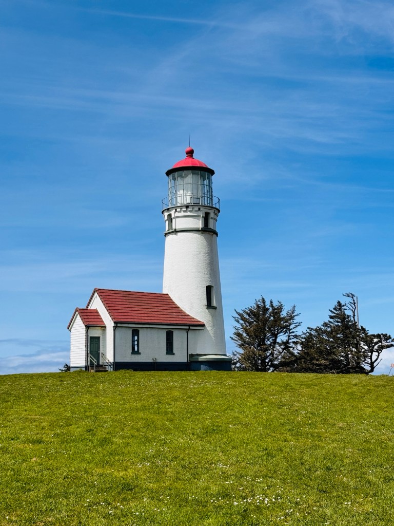
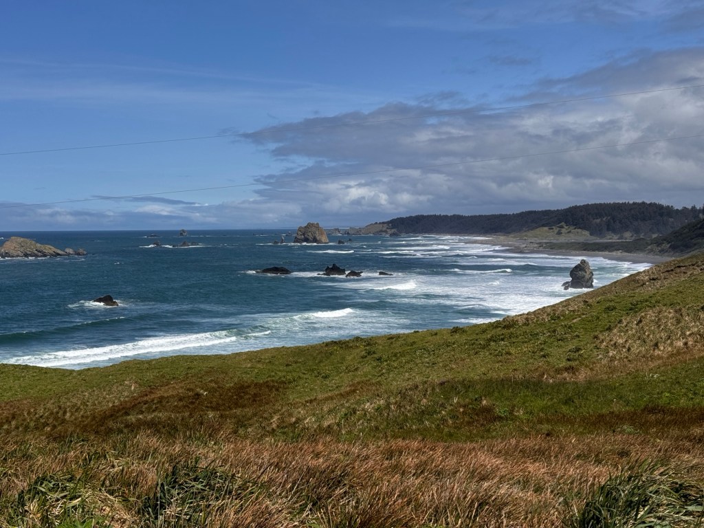
Heading back to camp we stopped at another beach, the Devil’s Punchbowl, where Phinn got his comeuppance. He has a habit of charging us all, Phoebe included, at full tilt, then rearing up on his hind legs and punching us with his front legs. It’s annoying and unending. Well, this time, Phoebe was delicately drinking from a broad creek that drained across the beach to the ocean. Phinn came in full bore, reared up and lunged, falling into a huge dip in the creek bottom and going underwater, while Phoebe watched placidly from the other side. He emerged sputtering and slightly chastened, dipping a paw in the creek to check depth from then on.

And now, back at camp, Phinn sits beside me atop the picnic table, asking me repeatedly to edit out any mention of this, as well as removing reference to his poop bags. I’ve told him he shall forever be my comic foil…
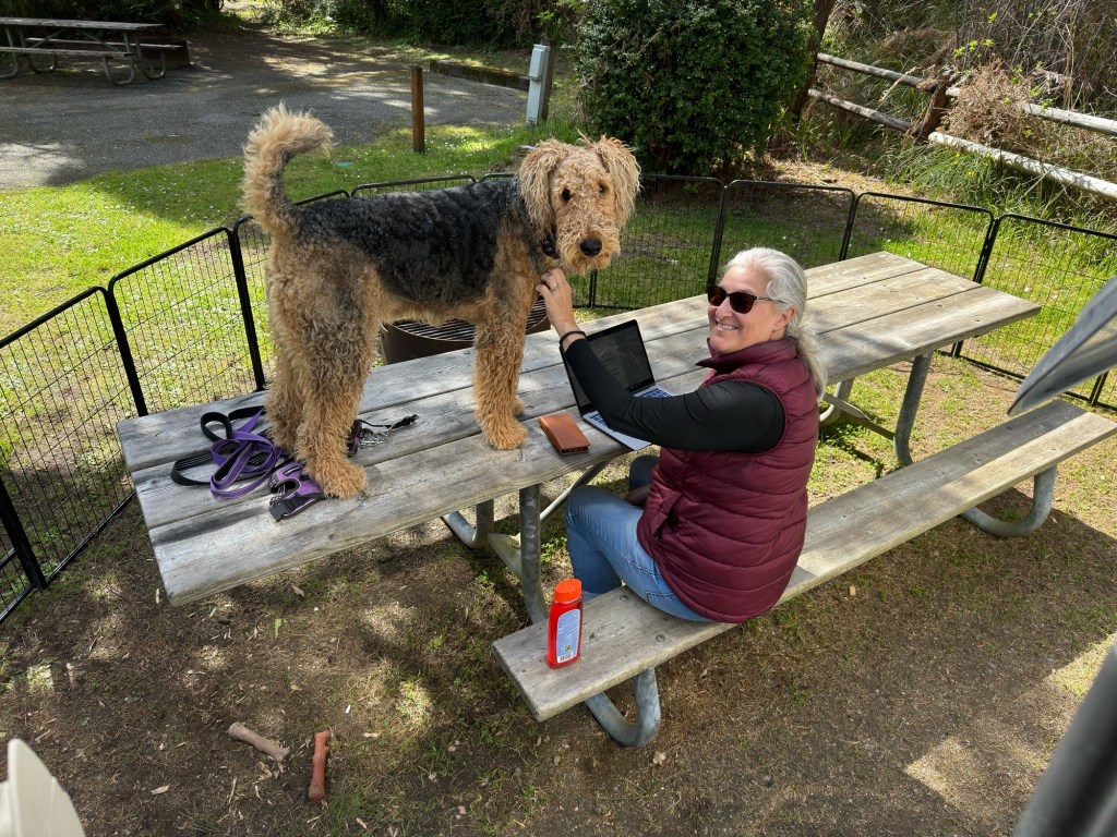
Nature Bath
April 6-7, 2024
The Japanese have a concept called “shinrin-yoku,” which translates to “relaxing in a forest atmosphere.” It has also been translated as “nature bath,” which seems fitting for our journey back to the lovely redwoods.
We spiraled up Highway 1 under blue skies, waves scalloping the sandy beaches far below. The creeks exhaled mist after the rains, which hung about in the forested dells and diffused the bright sunlight. Things were looking up!
We turned inland towards Humboldt County, looking for a campsite with electricity to buffer the bitter temperatures.
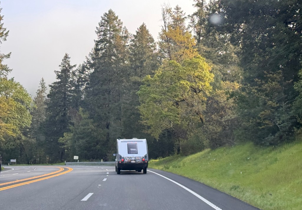
It’s amazing how deprivation, even on a modest scale, makes one appreciate modern conveniences. We pulled in to the Benbow KOA, set amidst blooming fruit trees and beside a blindingly green gold course, and immediately felt like we had returned from the wilds. A cozy, heated lobby, electricity and water at our campsite, and the piece de resistance: laundry!
We spent a day lazing about in the sun, letting our soggy bedding dry, and cleaning Boo, ourselves and our clothes. I admit to feeling very spoiled when I reflect on the people we met in Africa, who walk miles for water each day.
Back on the road next morning under grey skies we headed for Crescent City. This was not our original plan, as I had booked two days on Gold Bluffs Beach just next to Fern Canyon. This beach was a Phoebe favorite in 2022, and I thought it would be lovely to take her back and re-visit the canyon as well. It was not to be-perhaps for the best as the sites are primitive and it could have been Mendocino 2.0. No trailers of any size were allowed in the campground, which would have been nice to know when I booked the site stating I had a 14 foot trailer. Normally I would have been more frustrated, but as addicted as I’ve become to warmth, I was OK with it. We settled for another KOA in Crescent City, which turned out to be a lovely spot nested in the redwoods.
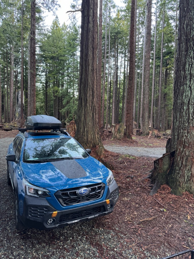
On our arrival, it began to rain, and didn’t stop until the next morning. This had us both secretly googling the drive time from Crescent City to our home, which we confessed to each other after sunrise the following day.
Sunlight stippled the rust-colored earth in our redwood forest, and tulle fog hung about a meadow beyond. We piled in to the Subaru to explore Howland Hill Road, the site of the historic stagecoach road to Oregon that cuts through the heart of the remaining old growth forest.

Our tires whispered on the damp fawn-colored dirt trail that curled through the forest. Light striped the ground as it struggled through the trees, and last night’s rain dripped gently from moss-laden branches. This is the third time we’ve driven this road, and I’m still struck dumb each time by the towering majesty of the redwoods.
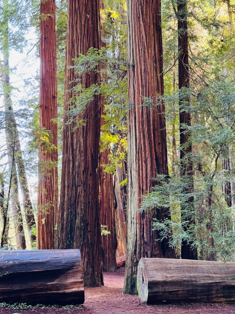
We stopped at Stout Grove and walked the loop trail. Muscular trunks of impossible size rose ramrod straight from a carpet of sword ferns. An occasional downed trunk, taller than the two of us put together, lay by the trail. Large trunks carved with the initials of hundreds of humans -I couldn’t help but muse that these delicate initials are but a flash in time compared with the lives of these trees. Who knows how many of the carvers are still alive, while the trees remain.
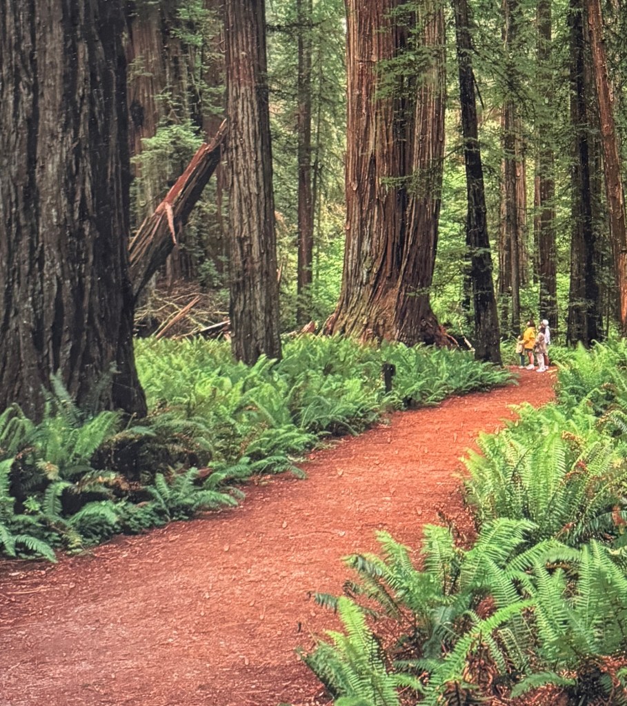
Near the loop’s midpoint in the midst of dozens of trees sits a bench, from which you can hear the Smith River flowing. It’s inscribed with a Shakespearean quote: “One Touch of Nature Makes the Whole World Kin.”
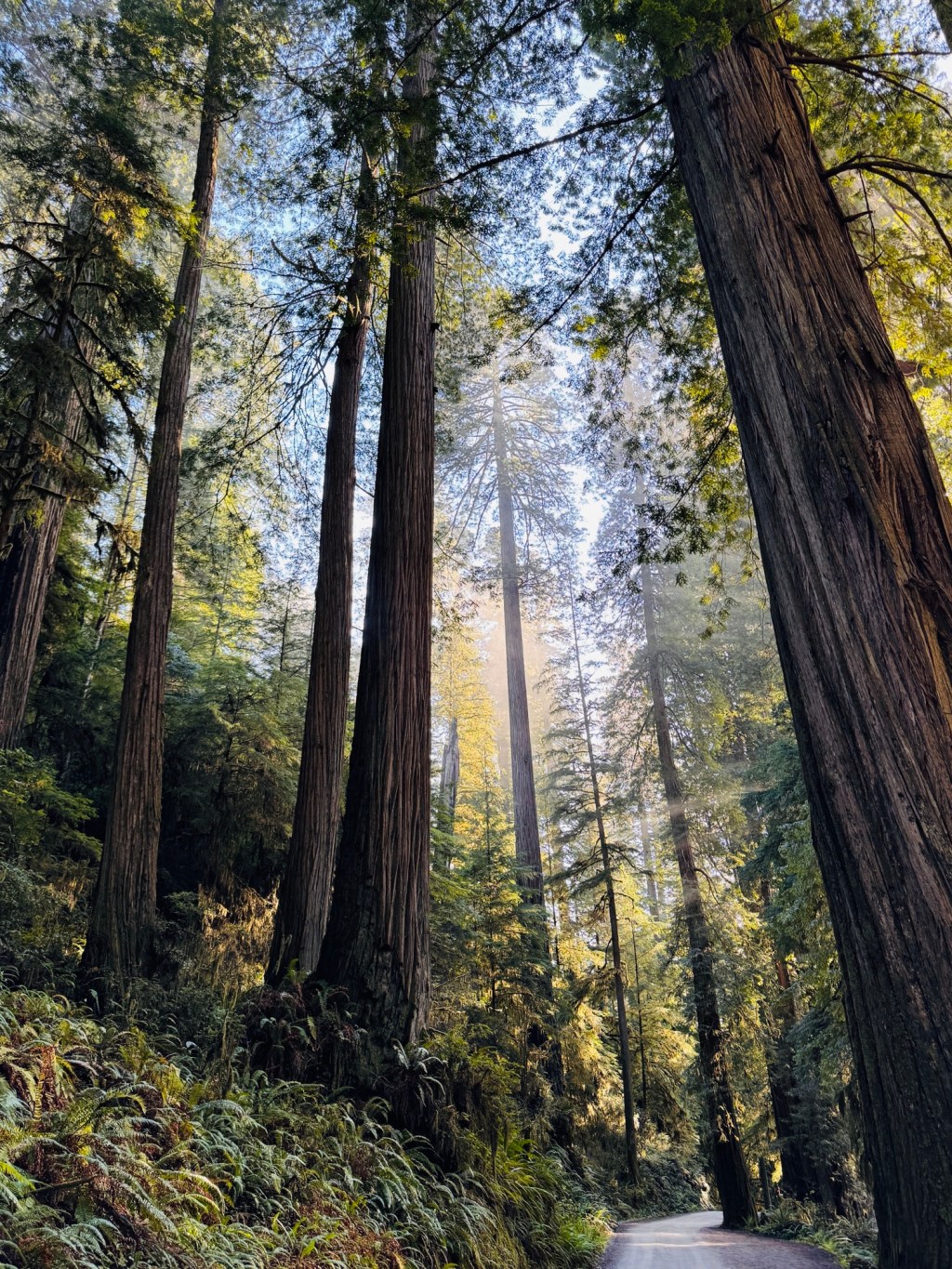
We drove out from the forest in silence, drenched with our nature bath.
Cold, Wet and Dark in Mendocino
April 3-5, 2025
Phinn is curled in a tight ball beside me, shedding moisture and beach sand onto the sleeping bag. I can’t blame him, as this has been an especially unpleasant stay. My breath blooms in steamy clouds as I tell him he’s getting everything wet.
Yesterday we drove up Highway 1, from sun to cloud. The hairpin turns were mostly along the southern end of the drive, and it ended up being less daunting than we had expected. Of course, I was following Erich in a nimble car, so it’s easy for me to say!
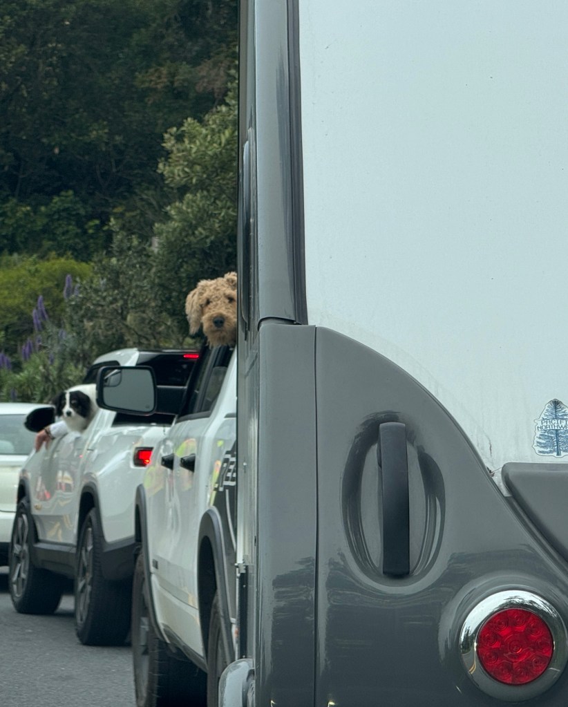
We pulled in to Van Damme State Park at 11 am, and check-in wasn’t until 2 pm, so we parked Junior and Boo and set out to explore. Our first stop was the beach just across from our campground-a gorgeous half moon of sand wedged between two rocky outcroppings, slick and black with moisture.
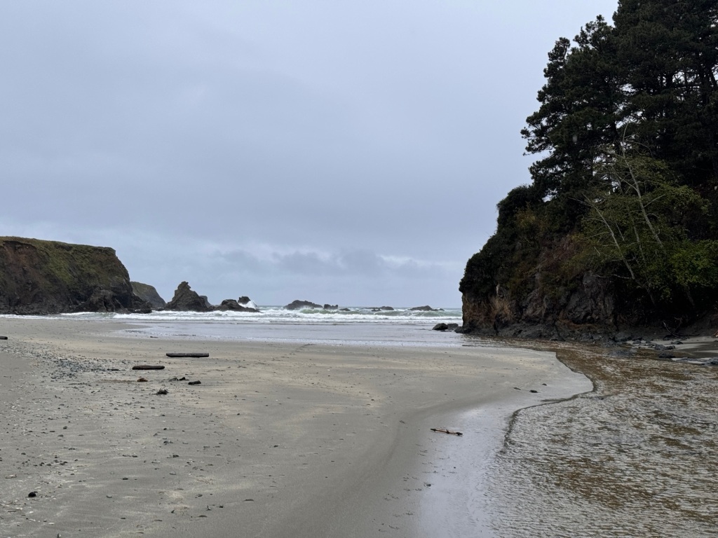
Another storm was rolling in, and the surf reared and bucked around the rocks. We were the only ones there on this gloomy morning, so we decided to let the dogs run. Having my hands free for once, I decided to hunt for sea glass, one of my many passions.
Almost immediately, a jewel glinted in the sand, but when I picked it up it wasn’t glass at all but an opalescent abalone shell fragment. I imagined this fragment cast off by an otter dining on the red abalone that lie offshore, and then the sea polishing it smooth and shiny over years. Suddenly, abalone fragments were everywhere and I was rushing around like a feverish 49er gathering my treasures!
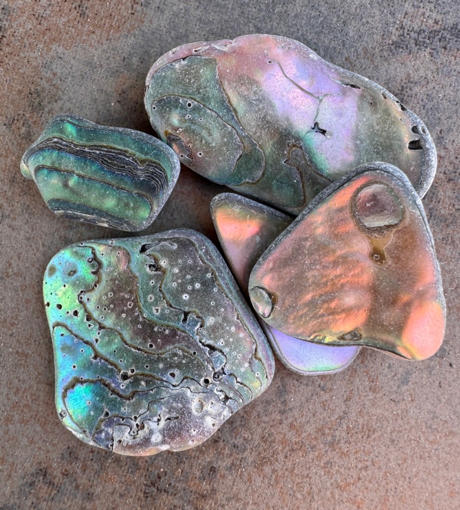
A good hunt always brings on an appetite, and we drove to town for linner. Mendocino sits on a small peninsula, and steep cliffs fall away to the ocean at the abrupt land’s end. Established in 1852 as a logging town adjacent to the dramatic redwoods, it is now a grid of lovingly restored Victorian homes, churches and shops. Not so much restaurants, as we discovered. We ended up at a historic pub, sipping beer and dining on burgers and steamed clams-perfect fare on a tempestuous day.
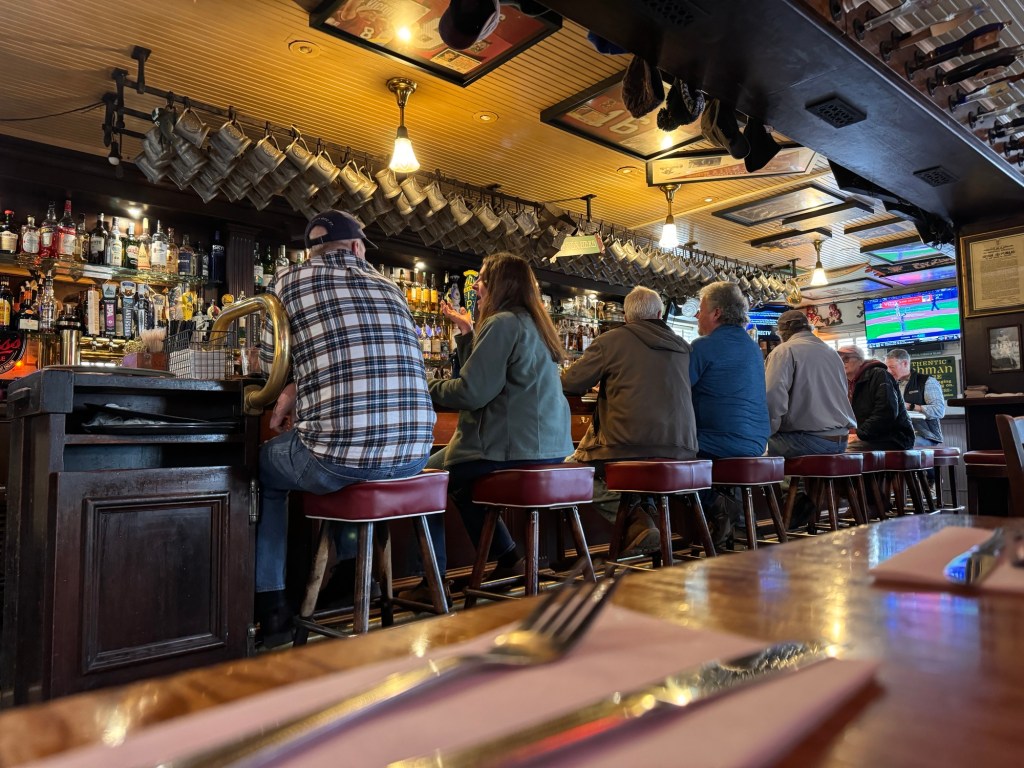
As we ate the rains began, and didn’t stop for 2 days. Our campsite was deep in a canyon cut by the Little River, and a spectacular study in green. The ranger said that he had numerous cancellations due to the weather, and we were alone in a meadow on the banks of the river, so prepared for an idyllic stay.
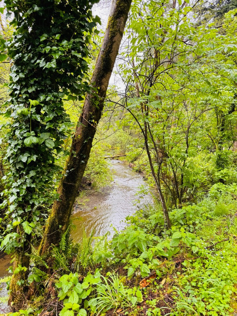
Boo is called a “Boondock” edition of the NuCamp Tab 400, which means she is equipped with solar to recharge her two AGM batteries and can be off grid with functioning light and heat for as long as a week. In fact,, we had been off grid nearly that long in Alaska on several occasions. That was before she fell in to the clutches of Blue Compass RV. Now after starting with full batteries, our charge was completely depleted after 4 hours. That meant a night without heat or light in a cold, dark rainy canyon.
Night one we made the best of it, having had only a few hours before bedtime. Day 2, not so much…
Waking up cold, we drove to Fort Bragg for a hearty breakfast and then meandered south, stopping at various beaches to let the pups run. I went on a challenging hunt for gloves (the thought we might need gloves never occurred to me in Tucson), and then we returned to the cold trailer and listened to the rain drumming on the roof, musing about what had happened at Blue Compass to fry our batteries. We landed upon them turning on the batteries for light, and forgetting to turn them off, leaving them to trickle to death.
We drugged ourselves to sleep with Benadryl, under covers wet and sandy, and awoke to 36 degree weather, afire to be back on the road with heated seats and steering wheel, leaving cold, wet Mendocino in the rear view mirror.
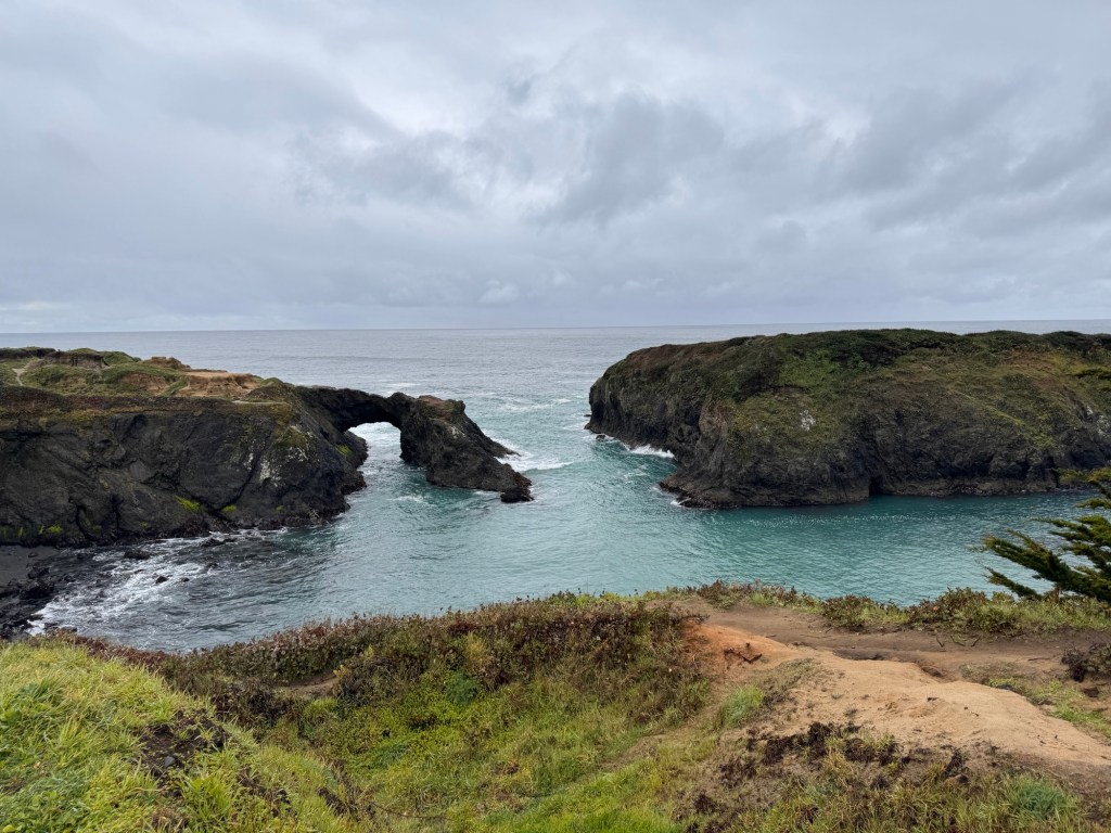
The Sonoma Coast
April 1-2, 2024
We got separated again en route to the Sonoma Coast, navigating around San Francisco.
The Subaru needed an oil change at 6,000 miles or the warranty would be void, and we figured our best chance would be the populated Bay Area. I stopped at a Jiffy Lube and planned to catch the rest of the pack via apple maps.
After my 15 minute stop, I rejoined 101 heading north. Erich texted me to be careful, as his route was taking him through downtown San Francisco: “I think I just went through Chinatown!” I’ve always adored San Francisco, and was excited to do even a quick drive through, but my route again differed from Erich’s and I ended up going around the north bay, keeping my fingers crossed at some point I’d turn west. I felt for the guy, pulling Boo with Phinn barking in the back seat up and down the steep streets!
We crossed different bridges but reunited at the campsite in Bodega Dunes State Park, just north of Bodega Bay. Our nerves were shot after Bay Area traffic, and the campsite lovely in filtered golden sun surrounded by cypress, so we lazed about camp for the rest of the day.
A stifled fog horn awoke us the next morning. Back at home, we love the deep, resonant sound of the foghorns and this one was not nearly as romantic. We keep teasing each other that California, as lovely as it is, seems to be the state of “no:” “no dogs allowed;” “no fires at any time;” “no parking without fee;” “no beach access.” We definitely understand the idea of protecting the environment, but this seems taken to extremes. We figured someone complained about the typical throaty foghorn, and thus it was neutered to a high yip.

We set off through the marine layer to explore the Sonoma Coast.
The first stop was a beach where we could run the pups. We walk them as much as we can, but it’s not the same as the sheer joy and exercise they get from running free. Under cover of fog, we found a deserted country beach and they ran to their heart’s content.

We made a quick pass through the town of Bodega further inland, famous for being the site of Alfred Hitchcock’s filming of “The Birds.” We missed the Hitchcock film festival by a week, but saw the graceful old church made famous by the film.
The morning fog was lifting at we made our way north to Fort Ross, and we stopped at coastal vista with a short trail. As we followed the ribbon of trail through lush meadows peppered with wildflowers, the fog lifted and the coast fell away before us, crumbling in a jumble of sea stacks to the horizon.

Both Phinn and Phoebe were taken with the view, and we lingered in this paradise feeling so grateful for our sense of sight.

Back in the car, Highway 1 clung to the cliffs like unspooled grey ribbon and we got a preview of what our drive the next day would bring. At least we would be going north, on the inside of the two lane road!
Fort Ross was another 20 miles up the coast, and almost deserted when we got there around 2 pm. Founded in 1821 by the Russians as an agricultural endeavor to feed fur hunting outposts in Alaska, it’s brief life was only 30 years, but it’s sturdy construction has stood the test of time. After passing through several hands it was deeded to the state in 1906, and made a state park.
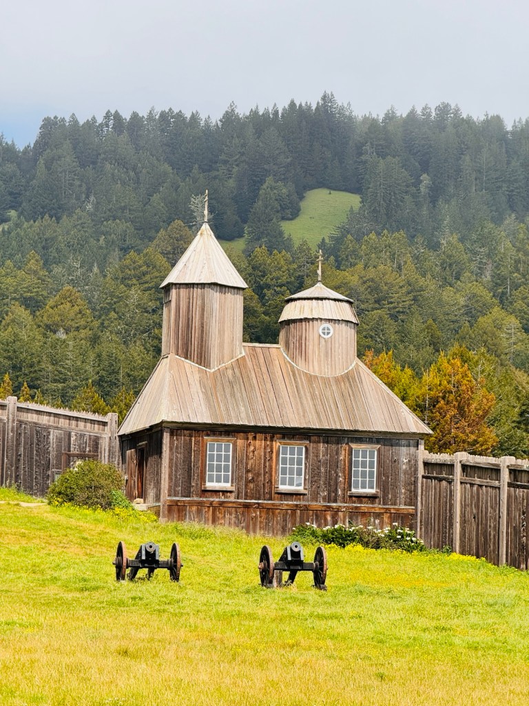
As we were the only visitors, you could really get a feel for the isolation of being stationed in a fort on the edge of an unexplored world in the early 1800s.
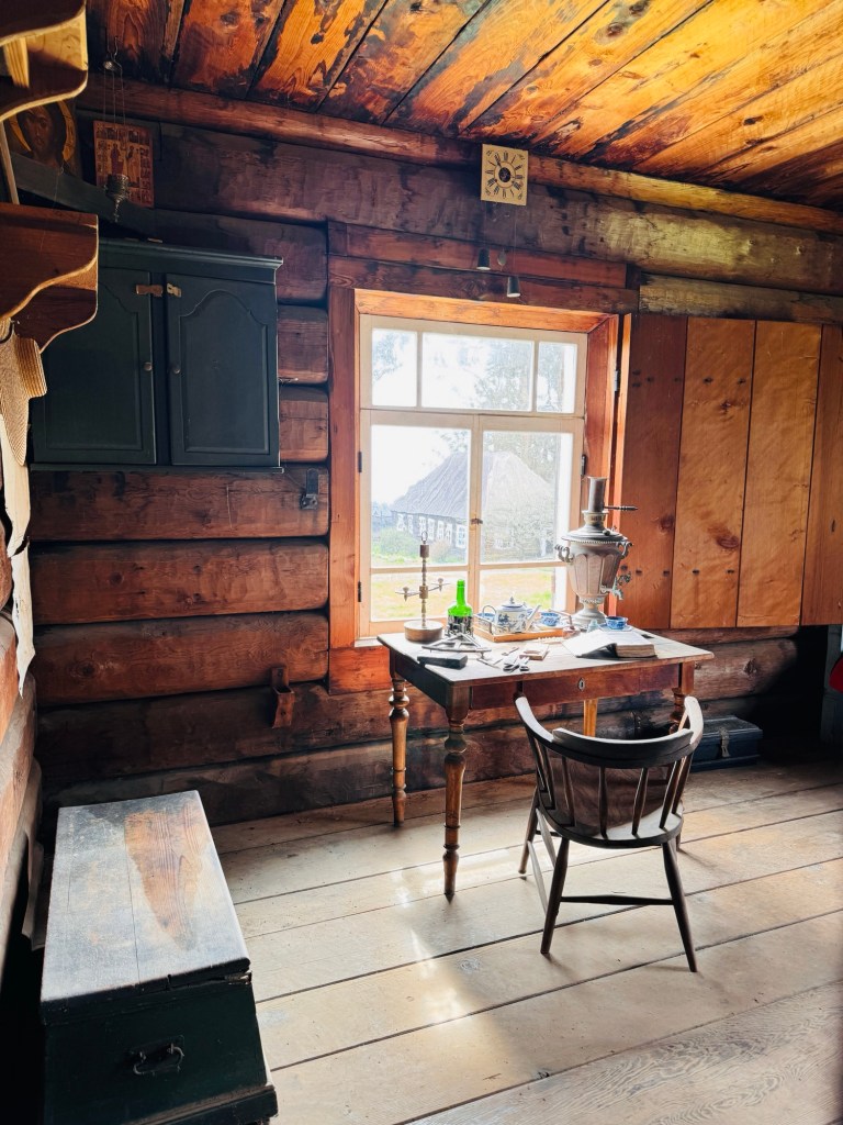
Many of the original building still stand, with thick beams scarred with lathe marks a testament to the sturdy, hand-labored construction. The first windmill in California was build here, to grind grain. The first glass windows in California adorned the Rostov House-the gracious home of the fort’s commander.

It turns out that growing crops along the coast wasn’t very successful. This, along with the poor fur-bearing animals being hunted to the brink of extinction, spelled the end of Fort Ross.
In the 1850s, Rostov was ordered to sell everything that could be sold and close down the fort. He did it grudgingly, saying “There was never such an enchanted place as California.”
Las Cuestas Encantadas
March 30-31, 2024
The rain drummed Boo’s roof all night, and we awoke to a mist-shrouded world. I walked the pups around the campground in a light drizzle. Deeper in the canyon, the river roared, making us antsy. However, the drive out wasn’t nearly as bad as we expected-only a few small slides that were easily crossed.
Fog hung in the mountain’s dells and laced their flanks. Ojai looked magical in the quiet morning, and it was with sadness that we departed. We both felt a deep peace in this place, and worried that leaving might break this spell-like our personal Brigadoon.

Siri directed us on back roads through the Los Padres National Forest and to our delight the reverie continued. Waves of verdant hills stretched like a tempestuous sea to the horizon, slopes carpeted with shrubs blooming the palest lilac. Lakes glistened silver, branching serpentine to the horizon. We were voice texting back and forth: “Did you see that?”; “Wow!”; “It looks like the Kohala Coast of the Big Island!” No wonder so many people choose to live in California.
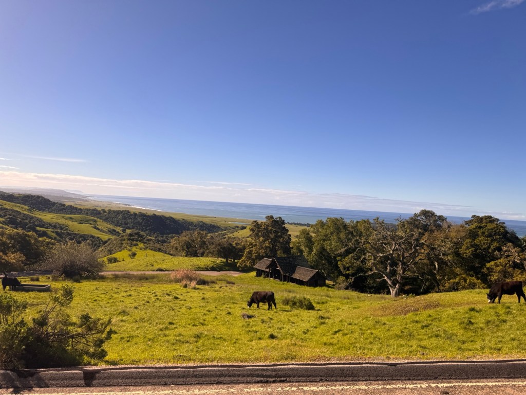
We joined 101 again, and though the scenery wasn’t as dramatic, the sky compensated with moody clouds, glorious sun breaks, and a dozen arching rainbows.
Nearing San Louis Obispo, the rain clouds knit together and the showers began. We checked in to our San Simeon campground, took a wet and windy walk along the boardwalk at Moonstone Beach, and retreated back to Boo.
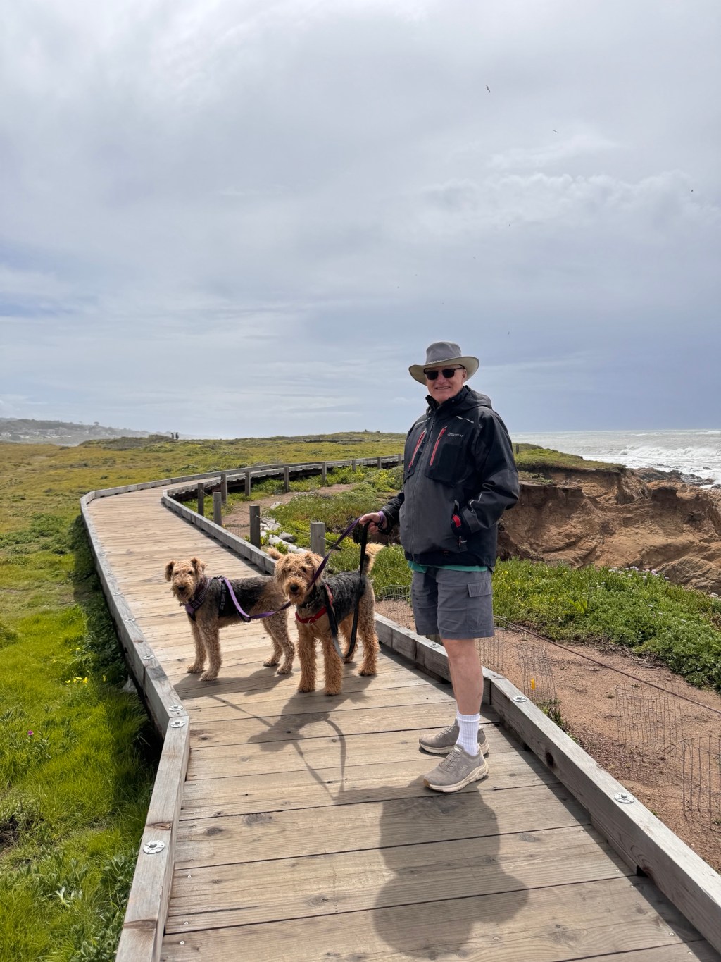
I will admit it wasn’t the most pleasant of evenings. Boo is very comfortable in good weather, but get all four of us inside at once and tempers fray. Phinn spent his time looking out the back window, whining, and the rest of us were glad when he finally went to sleep.
We awoke to clear skies and parted ways for the morning-Erich and the pups off to explore and photograph and me to my second attempt to see Hearst Castle, the first in December, 2022 being a cloudy, rain-soaked affair.
Not so, today. The castle shone white in the morning sunlight and views of the coast stretched for miles. Camellias bloomed in a rainbow of colors, palm trees swayed in a light breeze and birdsong punctuated the peaceful silence.
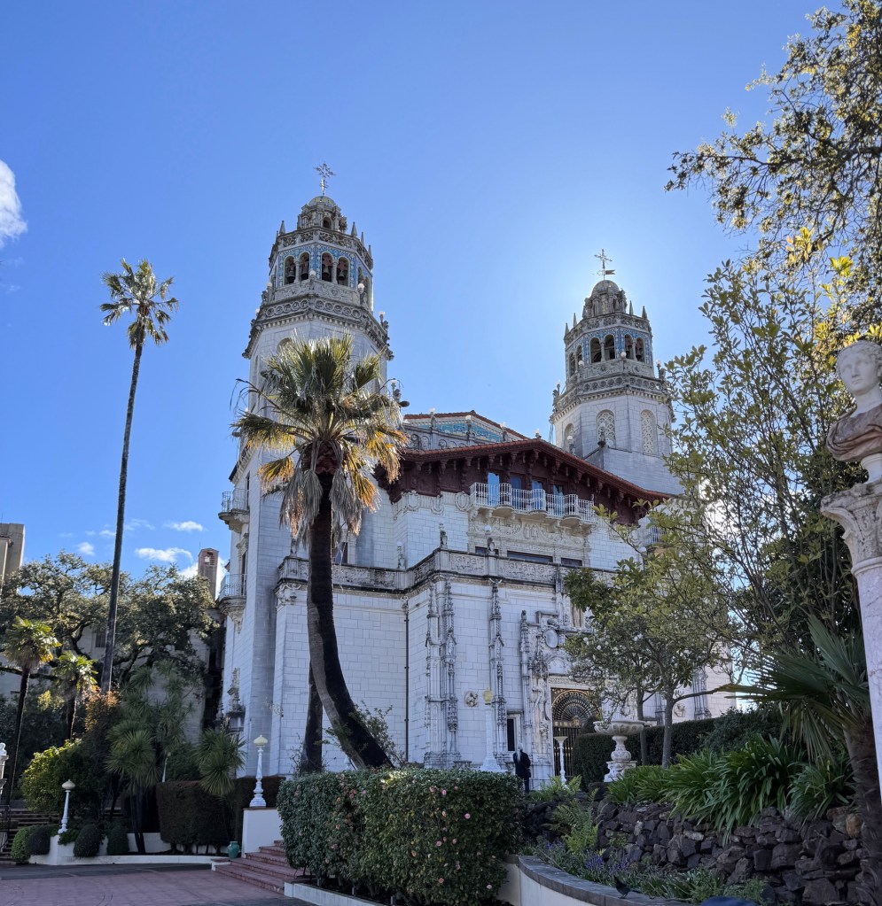
Inside, honeycombed antique Spanish ceilings, ornate Italian four-poster beds, priceless Chinese lamps, French tapestries, Grecian vases and 15th-17th century iconography swirled in a dizzying, colorful blur. And, oh, the library… How could one person acquire so much?
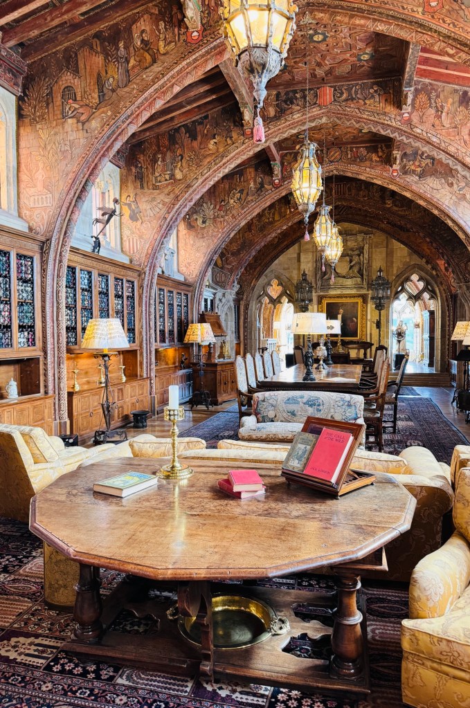
The 28 year project of incorporating all the art into just the right architectural mold in such a remote setting was the work of an amazing woman: Julia Morgan, the first female graduate of L’Ecole des Beaux-Arts in Paris, and the first woman licensed to practice architecture in the US.
Last time I was here, I must admit I was a little underwhelmed. Perhaps because I was cold and wet the entire tour, I didn’t listen as well or appreciate as much. I found the whole thing gaudy and overdone; this time I could appreciate nuance and the artistry of the whole endeavor. One of Hearst’s famous guests likened sleeping in the tower room to being “inside a jewel box.” You could never build anything like this today-none of the craftsmen (plasterers; wood carvers; mosaic ; painters and sculptors) exist in this era, and to gather the art inside would cost billions.

I met Erich and the pups for lunch, and they had their own tales of bucolic back roads and waterfalls.
Afterwards we strolled on a beach littered with thousands of iridescent, papery shells and ended the day with a sunset over a shore strewn with elephant seals at the Piedras Blancas rookery.
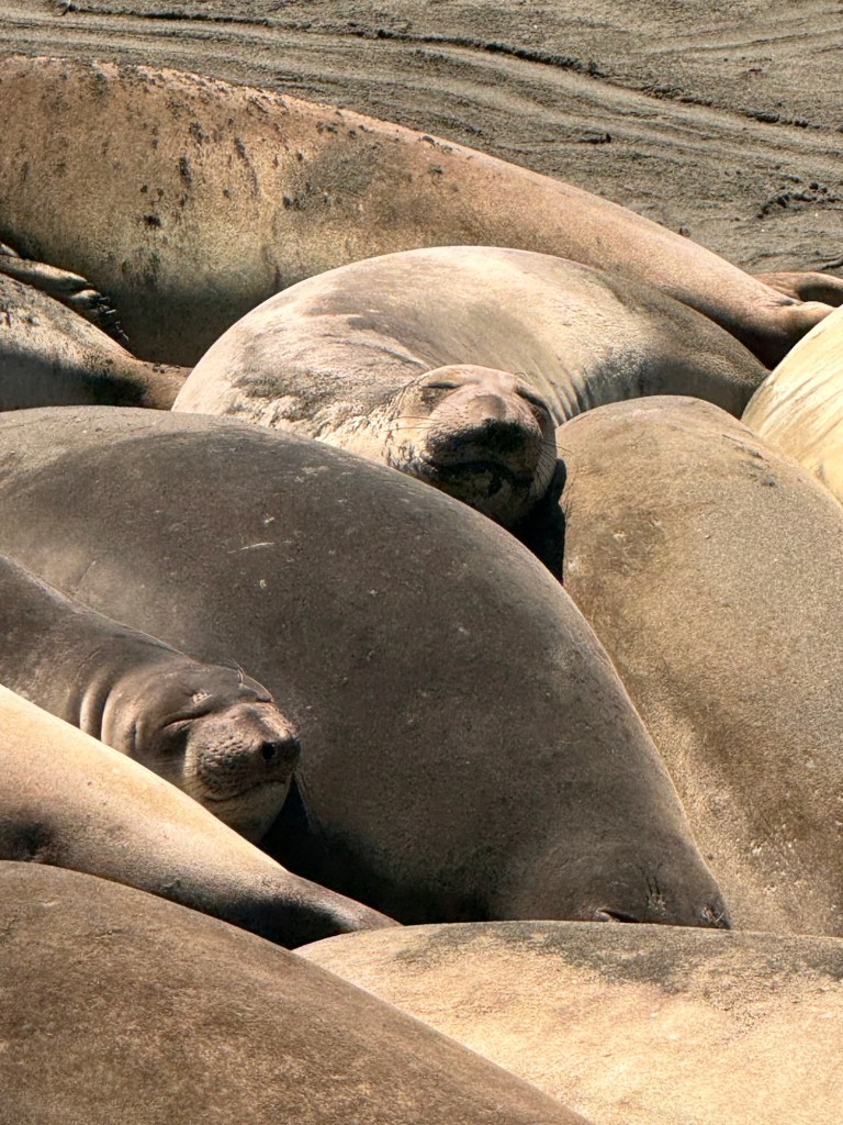
As I looked back at the Santa Lucia mountains paralleling the coastline, I thought of Hearst’s name for his castle: La Cuesta Encantada, Spanish for “The Enchanted Hill.” I can’t argue the name, but in my mind it should be plural, applied to all the beautiful Central California coast.

Eden
March 28-29
Through a twist of fate, we discovered our eden.
We set off through the teeth of rush hour traffic on I-5 north, bound for Ventura. We were hoping for a little warm beach time before hitting the chillier northern beaches. Our beginning was not auspicious. Stop and go traffic through to LA, and then around Ventura Siri told us something we hadn’t heard before: “Navigation to your destination is unavailable due to road closures.” We tried several times in different ways, with the same results. Perplexed, we pulled off in downtown and managed to lose one another in traffic.
We were staying at the Ventura Ranch KOA, advertised as just a few minutes off Highway 101, but inexplicably unreachable. Thank goodness for Waze, which was able to find a route.
Still separated, we set out hoping we were headed for the same place.
I was in the lead, becoming progressively more concerned as I traveled from highway, to two-lane road, to rural country road. Shades of our experience last year at Mount Diablo state park crept into my mind, when we followed a detour only to end up at a tight single land road blocked by a parks worker who told us we somehow needed to turn our 38 foot truck-plus-trailer around as the park was closed.
With this in mind, I crossed a single lane “narrow” bridge, and found myself in a fairy tale. The road widened again and curved through tunnels of oak, beside a stream silvered with sunlight. Hacienda-style homes began to appear at the sides of the road interspersed with blooming fruit trees. Suddenly I was in downtown Ojai, lined by a colonnade of shops and presided over by a Spanish-style bell tower, all reminiscent of a Iberian monastery.
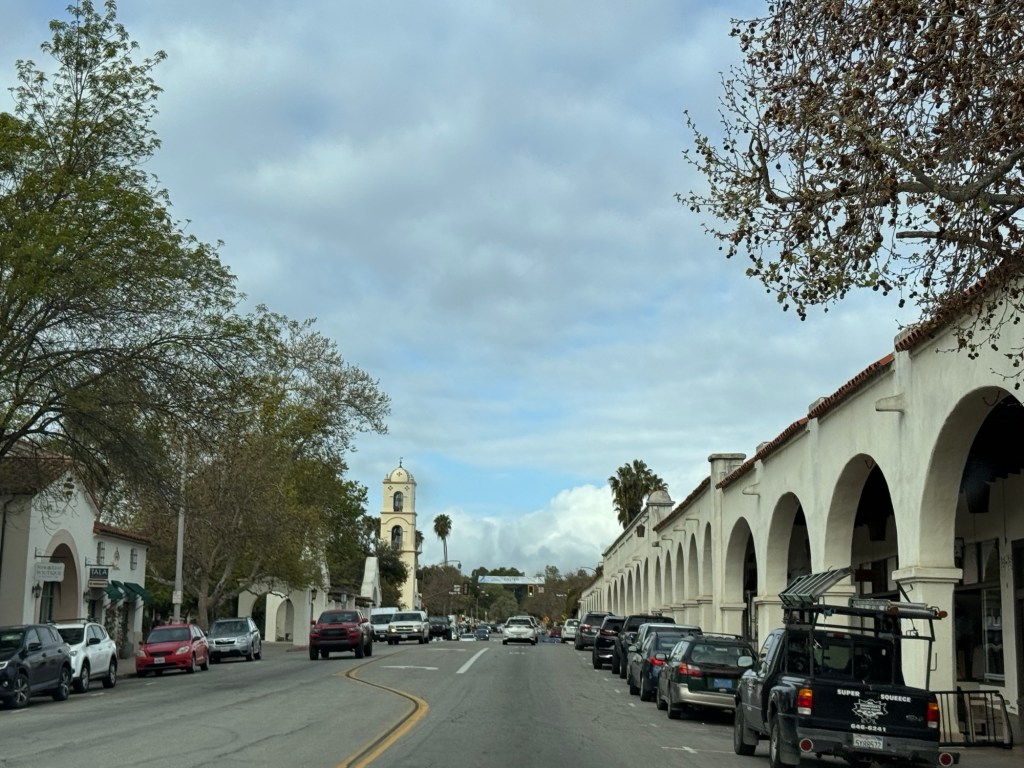
I drove past cozy local shops, a Farmer’s market, picture-perfect restaurants, and then row upon row of verdant citrus groves, all surrounded by friendly rounded mountains topped with puffy white clouds. As I climbed a mountain to a vista point, the sun suffused the valley in a light golden glow, and I was almost blissful. Almost, because the road narrowed again as it climbed and I had 15 miles yet to go.
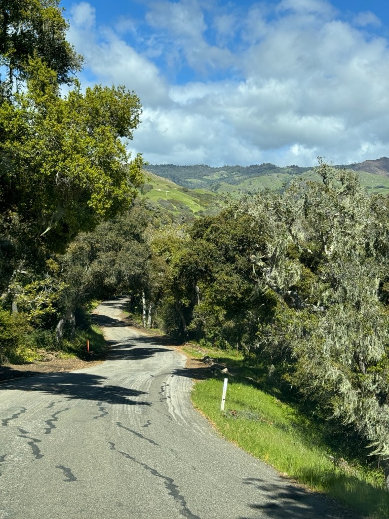
I wound past ranches and meadows strewn with yellow wildflowers, deer watching me warily. After being directed around a horrifying “road closed” sign, I finally pulled in to the campground, set in a lush canyon.
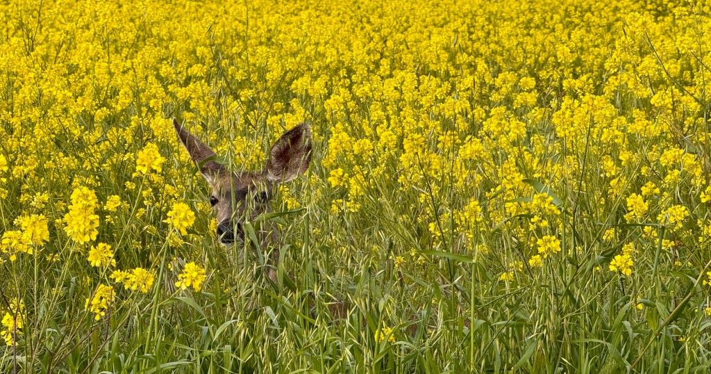
Checking in, I heard a loud squawking from the open doorway behind the desk, and the receptionist excused herself and turned to the offender: : “You be quiet, I fed you already!”
A large peacock strutted into the room, shook it’s head in annoyance, then turned and fled.
Did you know a group pf peacocks is called an “ostentation?” What a fitting description! It turns out that there are dozens of peacocks roaming free at the campground, and it’s mating season, which makes for unending squawking and showy displays. There’s a large, bony tree adjacent to our campsite where they roost, and we discovered they don’t work 9-5. I guess even Eden had it’s snakes…
We sat by the fire as darkness descended, serenaded by lovesick peafowl, and awoke to the same. Despite this, our sleep was deep and restful.
A morning walk around the campground brought us to a large labyrinth on the shores of a river, completely deserted as if left by elves. Much to the dismay of Erich and the pups, I insisted we walk it. Surprisingly, Phinn was willing. It was Phoebe who told me she didn’t see the point, and kept jumping over rocks to get out and return to breakfast.
After everyone was sated, we set off to explore Ojai and Ventura.
Stopping at the front desk, we found that the main road had been closed since February, when the area was stricken with flooding and landslides, hence the circuitous pathway to the campground.
We retraced our steps, and started the day buying rain boots in Ventura for the atmospheric river that was predicted for the evening and through the weekend, A discomforting thought given the propensity for landslides in the area.
We sought our a dog beach, but that turned out to be closed due to erosion from the same February storm, so we walked the marina, explored the Channel Islands National Park Visitor’s Center along with a riot of school children, and dined al fresco on yet more fish and chips.

After lunch, we headed to the Ventura pier. The incoming storm sat heavy and grey on the horizon, but churned up some good waves for the surfers still bathed in sunlight.

Back in Ojai, we wandered the little shops and the airdates garnered much attention until Phinn put on his usual display. A serene Japanese woman admired him: “He doesn’t look real-like a big teddy bear!” In response, he began barking maniacally and lunged at her. That’s our teddy bear with teeth! We retreated to the back alleys, and made forays one by one into shops while keeping our menacing animal on a short leash.
Back at camp, we built a fire and listened to the screaming peafowl as dusk descended and the rains rolled in to replenish eden.
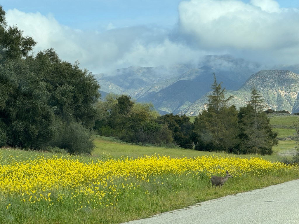
Caravan on I-8
March 26-27, 2024
All the best laid plans…
We had arranged in February to have our Subaru shipped to Washington so we could drive back in one car, and not leave a brand new car to the criminal wolves of Tucson. Our pickup date was the 24th, and the driver was to call us an arrange a time. Well, no call was received and when we contacted the shipping company they basically said no one wanted to drive all the way to Washington, so unless we paid another several hundred dollars and trusted the car would be picked up after we had left, they would not honor our contract.
Trustworthy was the last word we would use to describe this outfit, and we shared a few more apt words with the Better Business Bureau before we set off in caravan down I-8 to the Pacific Coast.
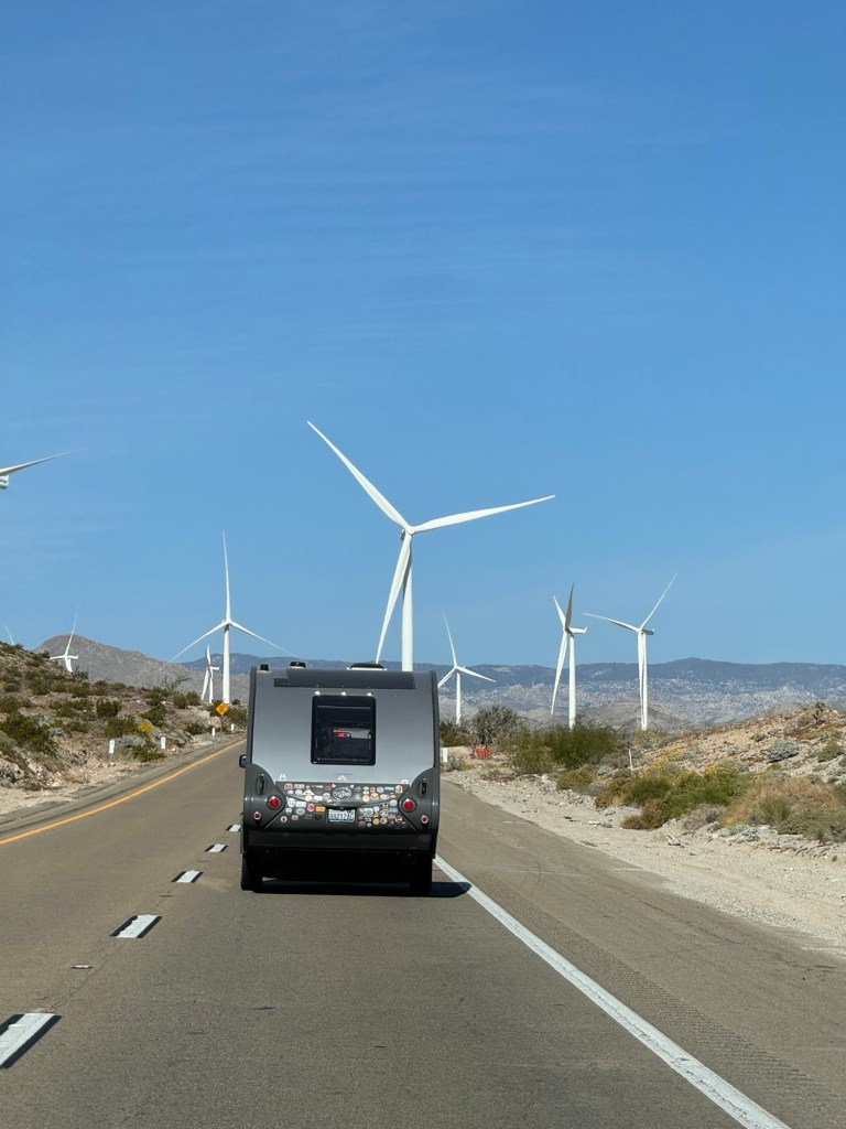
On first leg to Yuma, we each took a dog for company. The dogs were entirely freaked out by this turn of events, and Phinn spent the majority of the trip searching the car for Phoebe. For her part, Phoebe took the first opportunity at a rest stop to jump in the back of the Subaru with Phinn. It’s quite cute how much they love each other.
Washing up on the blistering asphalt parking lot that was the Shangri-La RV park in Yuma, we were given a double wide spot feet from the freeway-wonderful for multiple cars, not so great for peaceful slumber.
As we are trying to drive no more than four hours a day, we arrived mid-day, and set off to explore the Yuma Territorial Prison State Park.
Back when Arizona was still a territory, the legislature was doling out administrative plums to the various cities. It is rumored that during a long-running session where they had decided Tucson got the University, Prescott the capital and Phoenix the prison, the hungry legislators left for a late lunch, save one from Yuma. He scratched out “Phoenix,” and wrote in “Yuma” for the prison site, and no one noticed when they reconvened and voted. Thus, the Yuma Territorial Prison was born in 1875.

It sat at the confluence of the Gila and Colorado Rivers, long before they had been drained to a trickle of their former selves. Supplies arrived via steamship, and the first prisoners were put to work excavating cells from the rocky cliffs. They lived six to a (very small) room, and for bad behavior were shackled to the walls. The worst behavior warranted a stay in the Dark Cell-a 20 x 20 foot cave in the rock reached by a 20 foot tunnel, where no light could penetrate. As if that weren’t bad enough, the room contained an 8 x 8 foot cell in which the prisoner was kept for up to 100 days. Rumor has it this cell is haunted, and I did capture a fairly eerie picture of the place before being scared senseless tripping over a (hopefully) faux skeleton in a corner.

As Erich took his turn in the park, the pups and I wandered along the banks of the Colorado. Phoebe was entranced by the beach, and vexed that I wouldn’t allow her in the water due to a liver fluke infestation, but true to her gentile nature she watched the other bathers without much fuss. As fuss is Phinn’s specialty, we were quickly shamed back to the car.
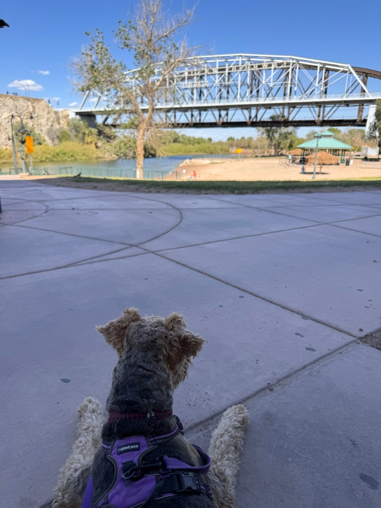
After a surprisingly pleasant night, we set off for San Diego via the sand dunes of California.
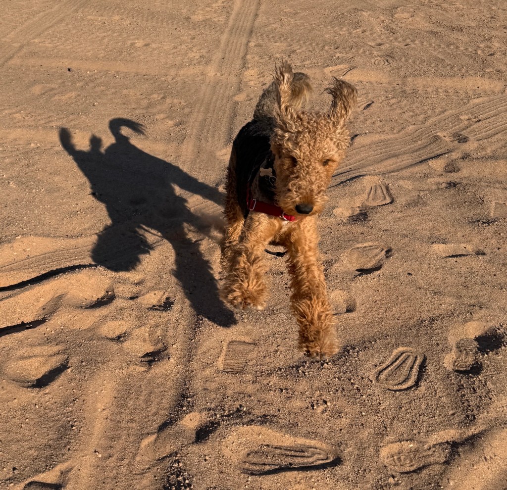
My first vacation was to Southern California via San Diego the summer between third and fourth grade. My family was never one for vacations, but that summer my mom felt sorry for me after I broke my arm the first day of summer vacation in an ill-advised skateboard stunt, and was in a cast from wrist to shoulder and out of the pool for the entire scorching Tucson summer. My dad was off working in Africa, and the two of us took a package Greyhound tour to California, hitting Disneyland, Knott’s Berry Farm and many Spanish missions in between.
After crossing the arid Sonoran and Mojave deserts, winding down the mountain roads into lush San Diego was like arriving in paradise. I had never seen so much green! Ivy hung from the freeways and trees with actual leaves were interspersed with the palm trees.
Our first night there, we ate at Anthony’s at the waterfront, in the shadow of the Star of India clipper ship. It was my first shrimp and my first harbor, and started a lifelong love affair with seafood and all things maritime-so very different from the desert!
Descending into San Diego this time, I reflected on this first, momentous trip through the lens of my decades.
After living in Hawaii and the Pacific Northwest, my lexicon of green has broadened. What seemed so vivid all those years ago now seemed a bit washed out-the difference between sage and moss. It was still lovely, with graceful eucalyptus trees bowing on the hillsides and sprays of golden poppies dotting the grass.
We dropped Boo and Junior at our zoo of a KOA and headed to the harbor. My Anthony’s of yore was gone, replaced by a very swank Portside Pier where we ate pricey fish and chips under a glassed dome. The Star of India was still as I remembered, and we walked the pups along the waterfront, deftly avoiding other dogs.
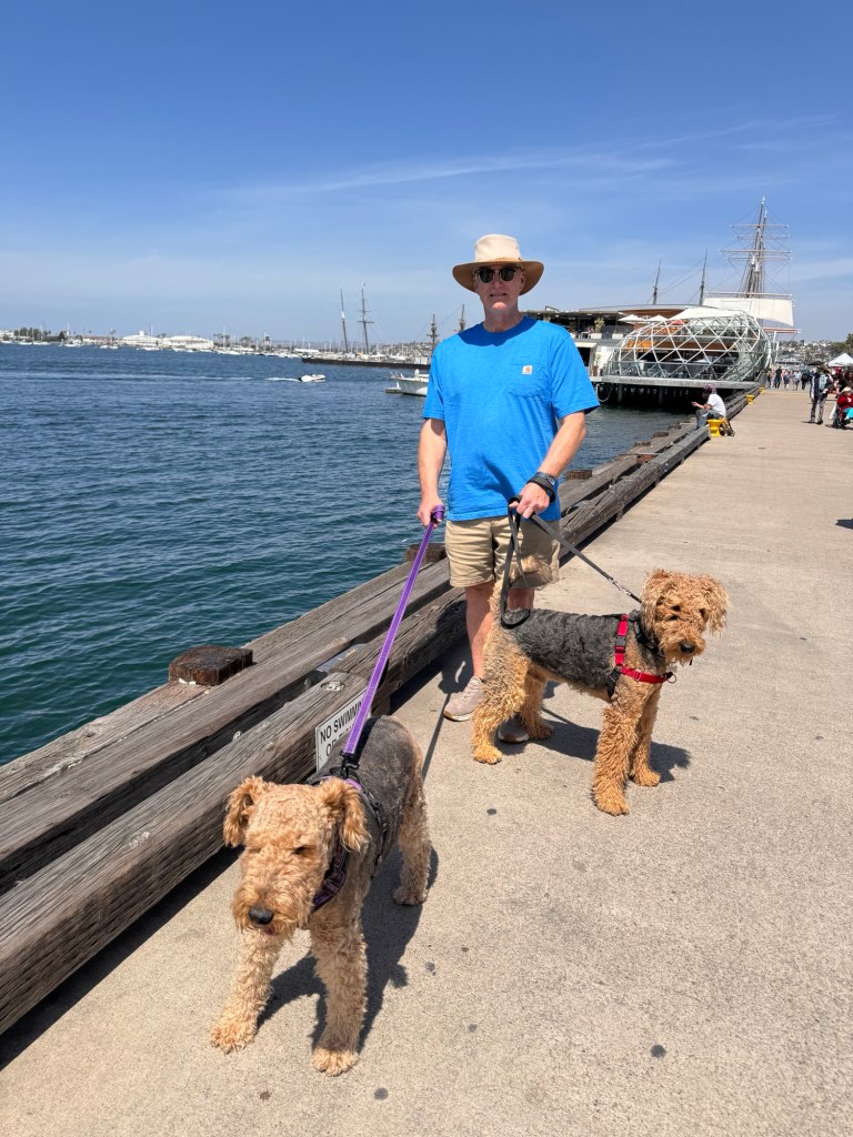
After a brief stop at gracious Balboa Park and it’s dog park, we headed back to camp with a calmer Phinn and whiled the night away listening to happy kids playing corn hole and bouncing on the city block-sized jumping pillow near our site.

Tomorrow the caravan turns north for home.
Farewell with Friends II
March, 2024
You know you’re in the right place when you’re sad to leave.
The spring flowers have become even more dazzling, and our daily bike rides take us through eddies of fragrance, our favorite being orange blossoms. The days are bright and sunny, just touching on hot in the late afternoons-or so say the Airedales as they pant through their walks.
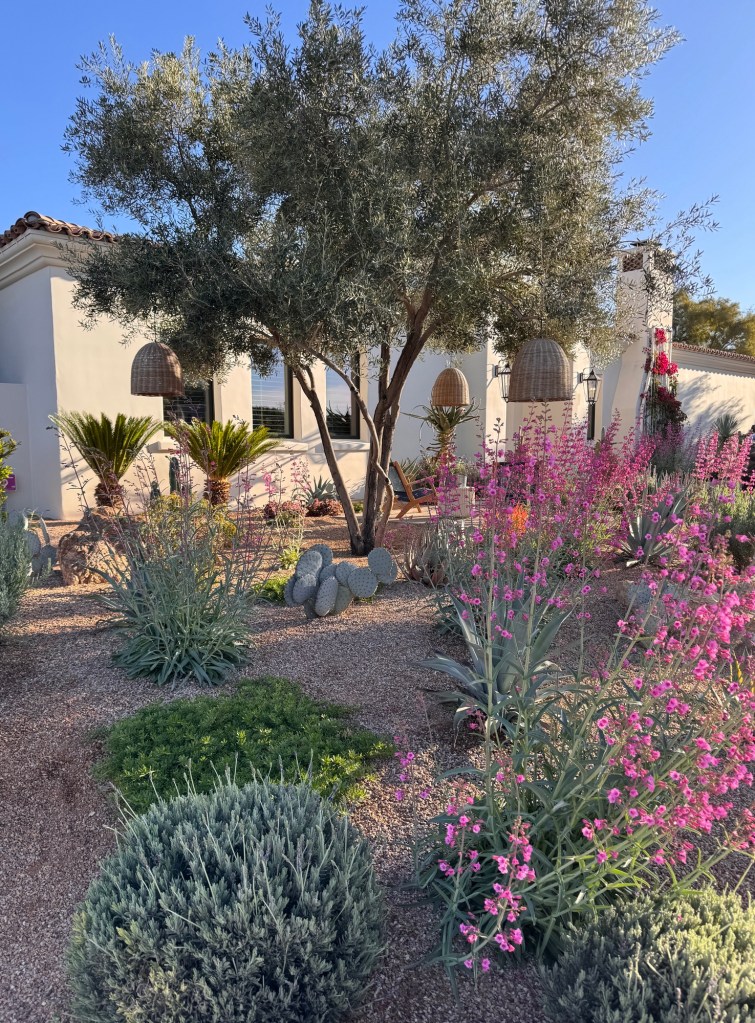
In just three days we are heading up the coast, hoping to avoid winter storms, and looking forward to a Pacific Northwest summer.
But now, our focus is on the glorious winter we had, and all the many people and experiences that made it so special.
Phinn has been a challenge, but also introduced me to a new family of kind humans and dogs, and my morning walks to the dog park have become one of the highlights of my day. We said our good-byes this morning. I will miss these lovely souls, and I would say Phinn will miss his pals too, except that during our last two visits he has been relentlessly pursued by Titan, a ten year old retired pit bull stud, who finds our boy irresistible. Poor Phinn has tried all manner of escapes, but Titan seems quite devoted to his craft and not quite ready for retirement.
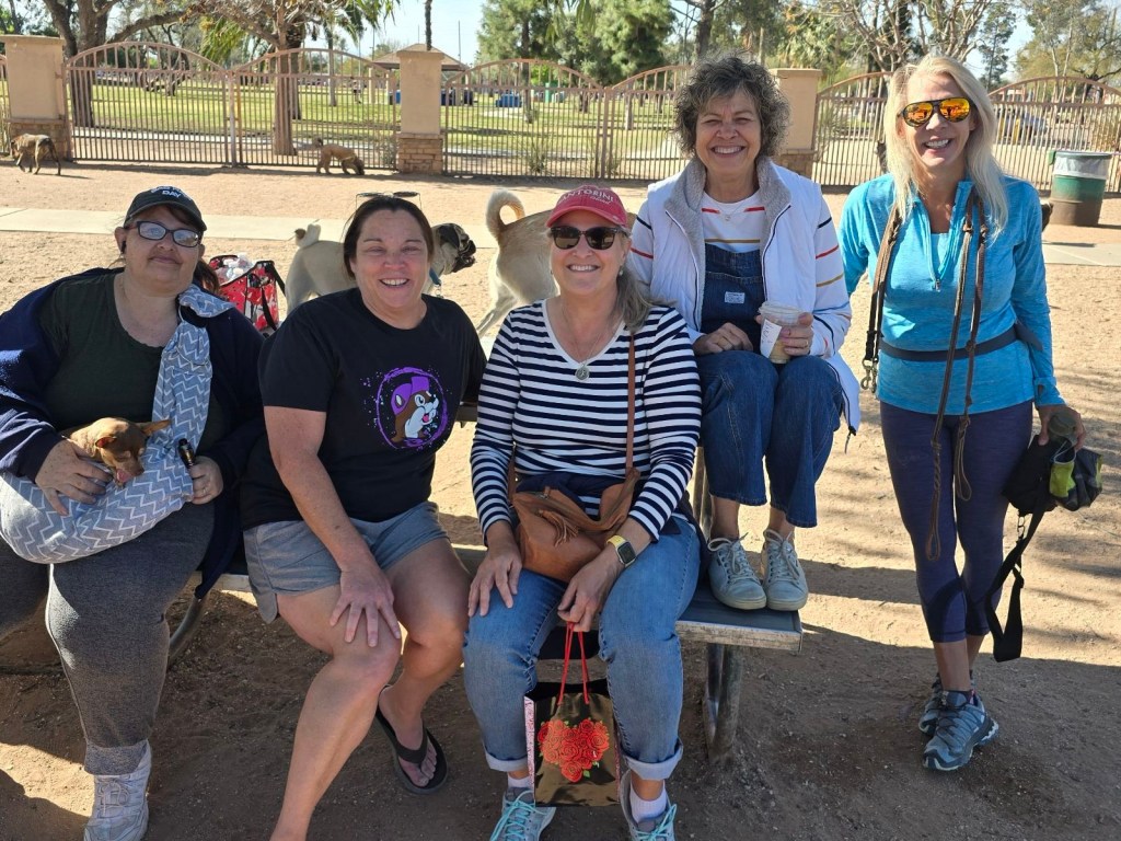
My former partner and her husband joined us again this year for the amazing Tucson Festival of Books; 300 authors and 150,000 readers, with all manner of topics. It was fun to see the University of Arizona campus draped with white tents with authors, like Abraham Verghese, treated like rock stars with fans standing in line for hours to hear them speak. Of course, we dined on delicious Mexican food, sampled myriad margaritas, and explored the lovely Sonoran desert. Our final act was a girls’ spa day at the luxe Canyon Ranch, where we drummed in the desert, ate like queens, meditated and were massaged into relaxed, gelatinous state.

Closer to home, my lifelong friend introduced me to amazing flea markets, where we prowled for hours for low-cost treasures and then retired to El Minuto for margaritas (a theme?) and cheese crisps to share our conquests. My favorite thus far is a carved Peruvian birdhouse that is proudly displayed on our patio wall, and seems to have attracted several local residents already.

Day trips took us along winding country roads, to unexpected landscapes: The Serengeti-like grasslands of Buenos Aires National Wildlife Preserve just southeast of Tucson, where pronghorn bound across the plains; The charming town of Arivaca, set amidst rolling border hills and dotted with lakes and Ironwood National Monument, where sugary beige dirt roads snake through fields of saguaro, lupine and poppies and end at the reflective cemetery of Sasco, Arizona, where the town died with the 1918 Spanish Flu.

Our pals in retirement in Mesa introduced us to the amazing Musical Instrument Museum in Phoenix, where I wandered in a trance through the thousands of displays, each accompanied by it’s own audio. Definitely a multi-day affair, as I became addled after only a few hours! Who knew there were so many beautiful instruments in the world? Post-museum, we traded tales of the road and thoughts on retirement-such a treat to spend time with these kindred spirits!
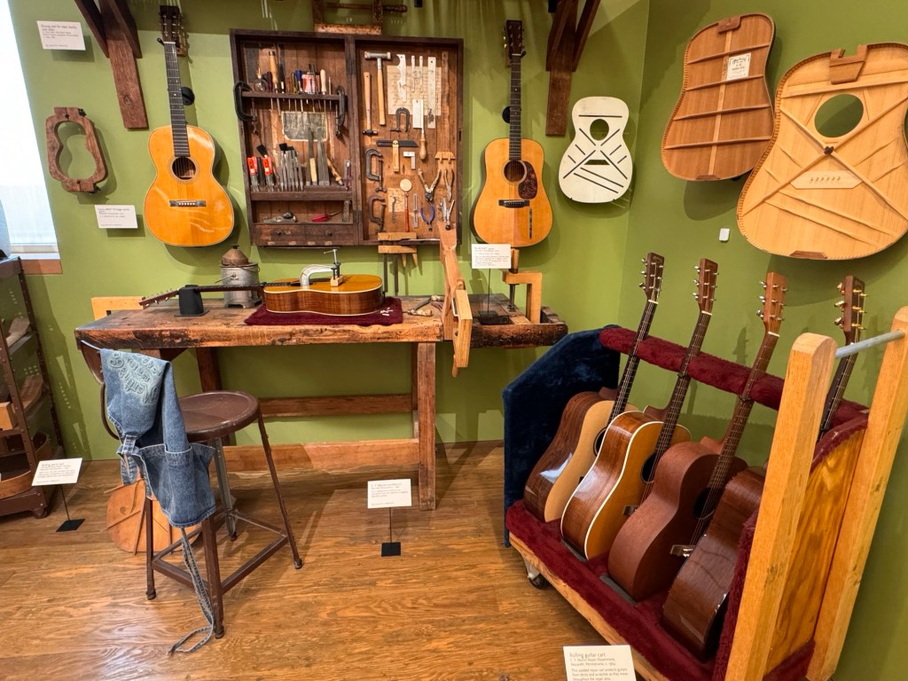
We’ve also become joiners of myriad local venues: The Tucson Presidio; The Tucson Art Museum; The Arizona Sonoran Desert Museum; The Tucson Zoo and The Pima Air and Space Museum. All are amazing, but the latter provided us living history, as we were able to listen to a B-17 pilot speak of his wartime experiences on his 101st birthday. Erich was enraptured and giddy as a little boy meeting this heroic man.

Days were also defined by simple pleasures, like afternoon walks around our friendly neighborhood, bike rides to lunch at the University’s main square, and reading on the porch as the fountain burbles in the background.

How lucky we feel to live in two places we so thoroughly enjoy that parting from each is bittersweet…
Sabino Spring
February, 2024
The days slip into each other as we slide towards spring and our departure. A series of winter storms has swept through in the past few days; thunder rips at the sky and fat raindrops pelt the ground before the sky quickly clears, leaving all fresh and dazzling in the sunlight.

I’m often asked what’s different about being retired, and I’ve hit upon my ultimate answer-I feel like I more fully inhabit my life.
The vibrant African daisies nodding in the breeze are a more dazzling shade of orange and yellow; the saguaro’s arms have a soft cream-colored fuzz on their tips that I’ve never noticed before; the snow on the Catalinas is a crisp linen white, and the gently scissoring flight of pastel yellow butterflies seems sublime and peaceful.
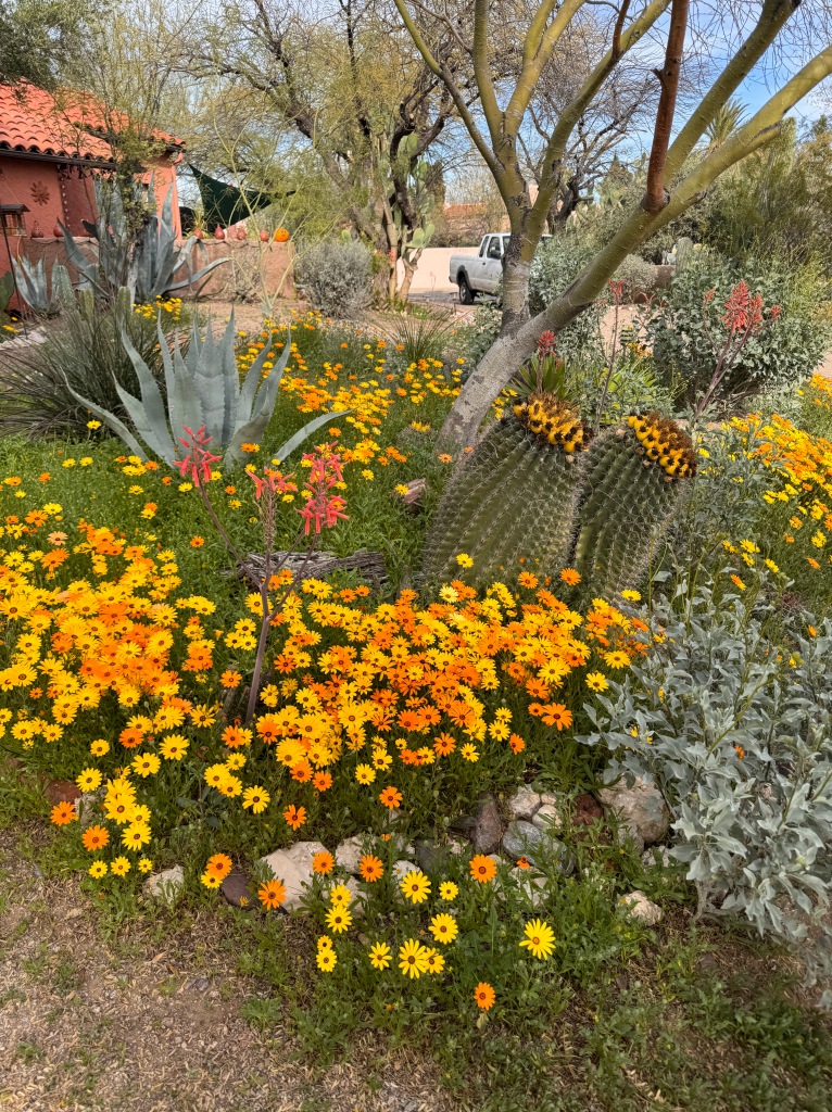
Perhaps it’s not having most of my brain otherwise occupied that gives me space to appreciate the awesome beauty of life-I’m still working on the “why’s” of my newfound gratitude…
Revisiting spaces from my childhood has highlighted my simply joy in small things.
We’re trying to leave Phinn and Phoebe alone for part of the day, and yesterday we spent the afternoon at Sabino Canyon during their siesta.
The canyon sits on the northeastern end of the Tucson valley, and drains my beloved Catalina mountains. One of my first Tucson memories is of a University of Arizona Hydrology Department chuckwagon cookout in the canyon, where I met one of my best childhood friends, Sonja. We ran about splashing in the creek between bites of hot dog and roasted marshmallow while our parents got to know one another. I can still recall the smell of the campfires and the glow of the embers on that warm desert evening.
As I grew, we would often day-trip to the canyon, hiking to the pools of Seven Falls, and basking on the flat grey rocks that dotted the creek after a plunge into the frigid waters. I have a particularly vivid memory of a post-school jaunt during my senior year in high school, where we sat in the golden glow of the afternoon sunlight and mused about our futures.

The canyon closed to vehicle traffic in 1978, and now the only way to get “up-canyon” is to hike or take the “Sabino Crawler,” an electric tram that runs the four mile length with several stops along the way.

The recent storms have dusted the mountains with snow and the creek was running high. The tram splashed through several water crossings as it made it’s way over the beautifully constructed stone bridges. Waterfalls cascaded down the canyon walls, and some trails were impassable due to flooding. Clouds played about the eastern peaks, and hung like a thick lavender quilt over the city.
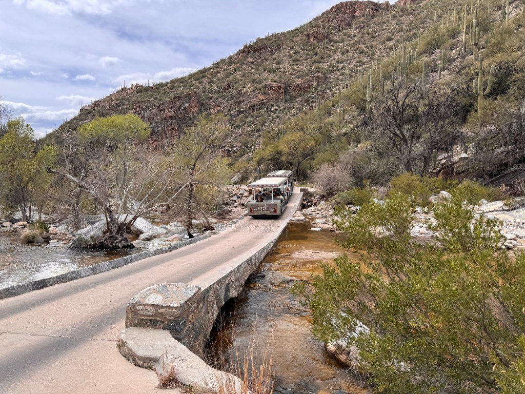
We walked the 4 miles back to the visitor’s center in a dreamy haze. Mexican poppies bloomed in vivid tangerine; cottonwoods budded in a chartreuse mist; hummingbirds flashed iridescent and an occasional roadrunner cut across the road. The rush of the creek washed cares downstream, and all was peace.

A lovely bookend for my Sabino memories, and a perfect metaphor for my retirement.
Weaving into the Tucson Fabric
February, 2024
I share the shade dappled bench with a withered orange and watch the University of Arizona students. Was I ever that young?
We’re back in Tucson, most likely until we leave for the Northwest. We have a series of out of town visitors and are awaiting the installation of a new HVAC system, plus Phinn seems to be in a groove with morning dog park visits and afternoon playdates. Phoebe remains her usual easy self, and is happy as long as she’s with us.
While we wait, I’ve been visiting local antique malls and happened upon an almost-new Panama Jack cruiser bike that was just too cool to pass up at $90. Erich thought I was crazy when I lugged it home, but tuned it up for me and encouraged me to ride. So, I’ve been happily peddling from our condo to the University daily in the afternoons, reliving my youth. I’ve found a wonderful spot under the deep, shaded porch of Old Main, where I nest with a taro boba and watch the students pass.
It’s a bittersweet exercise. I think of all the promise in those young creatures, and feel a bit bygone. Once I was looking towards the future with the promise I project onto them. I realize how lucky I am and generally enjoy life, but I am no longer the idealistic sprite of yore. Perhaps that’s just life or perhaps it’s the general disharmony and incivility in the world. The withered orange offers no opinion.
But let me concentrate on the positive instead.
Phinn and I walk to the dog park every morning, and en route met Ellen and Ollie. Ollie, a Welsh terrier and Phinn’s mini-me, is not a dog park fan, but invited Phinn over for weekly playdates. It’s a joy to watch them frolic around the fountain in Ellen’s backyard, and it turns out that Ellen grew up a block from me and is a Tucson native, so a good time is had by all.
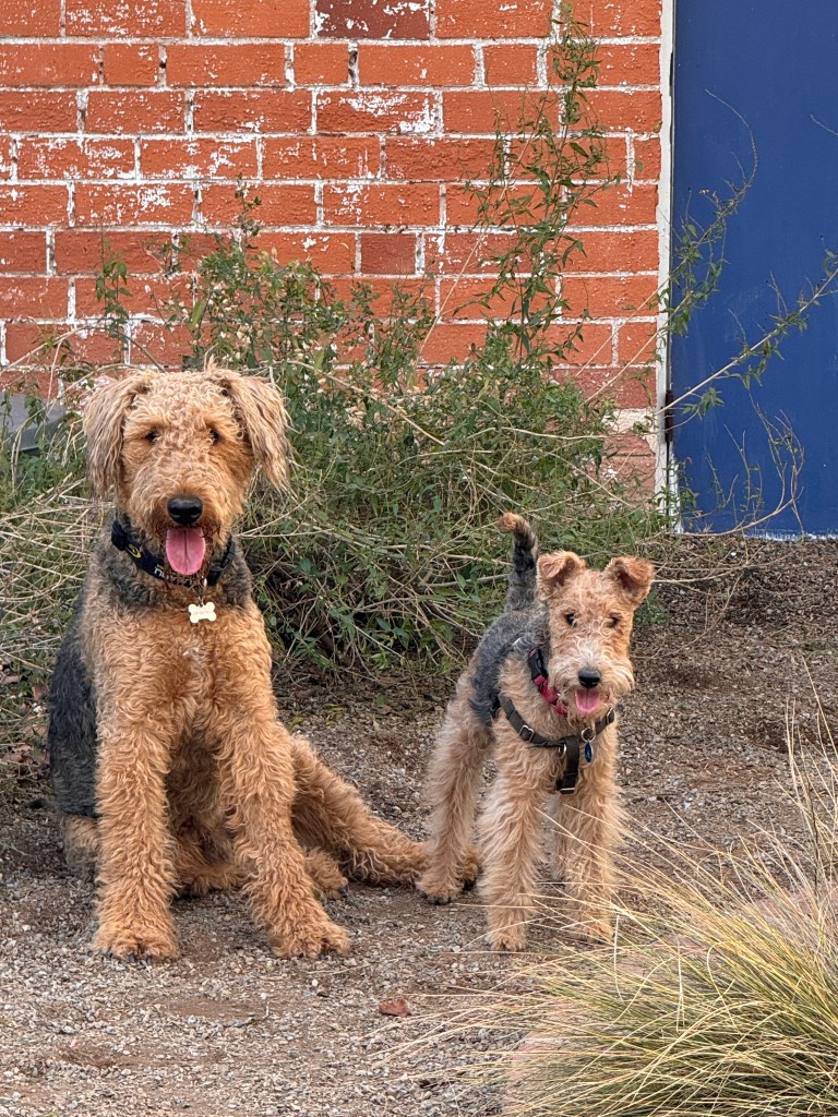
At the dog park, both Phinn and I have been graciously accepted into a pack of wonderful mammals. Everyone helps each other out and texts if there are exciting canine entertainments afoot. Milestones, both canine and human, are celebrated, and it restores my jaded faith in humanity.
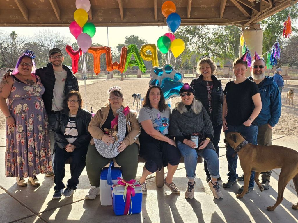
Phoebe and Erich join us after Phinn exhausts himself for an hour or so, and then we walk around the park’s large lake serenaded by the nearby zoo’s resident gibbon.
Having heard a winter’s worth of gibbon-ese, we decided to take a trip to the zoo and meet him.
After a life-changing trip to Africa in 2017 we have not been to a zoo, and we were both a bit anxious to see animals in such an unnatural space. We were delighted to find large, open enclosures for all the animals, and helpful docents at each exhibit. A baby giraffe had been born a few weeks prior, and frolicked about in the sun under mom’s watchful eye. A 52 year old rhino ambled the perimeter of her large mud bog, avoiding antelope and crested cranes that shared her space.

We learned that our gibbon friend was named Billy, and we were directed to his home where a workman was busy assembling a new set of monkey bars for him. He told us that Billy was 54, well beyond the usual lifespan of a gibbon, and had outlived his mate and daughter. He was somewhat set in his ways, and didn’t welcome new company, so they adjusted his habitat yearly to give him appropriate exercise and keep him fit. We asked where he was, and were told he was unavailable-He was Face-timing other gibbons, which he does most mornings to give him social interaction! Now, if only I could work that out for Phinn…
The Road Home
January 31-February 1, 2023
My ephemeral muse rejoined us in Seminole Canyon, just east of Big Bend.
Our journey homeward is always bittersweet-we both have a strong desire to explore and would love to keep pushing East to New Orleans, but Phinn complicates matters immensely. Phoebe is a joy-an easy traveler who would happily amble down Bourbon Street. Phinn would get us arrested.
So, we turned for home and decided to explore Seminole Canyon State Park en route. We had heard of this area from fellow campers who said the pictographs were not to be missed, and as it was quite off the beaten path we stood a chance of slipping Phinn past the authorities.
Larry McMurtry has been a fixture of our Audible library when traveling in the West, and we listened to “Streets of Laredo” as we traversed the country in which it was set. It’s hard to imagine that just 150 years ago this area was a frontier, and law “West of the Pecos” was capricious. We drove by a monument to Judge Roy Bean, a self-appointed justice who billed himself as the only law in the region in the late 1800s and was notorious as the “hanging judge.”

Desert hardpan dotted with scrappy creosote rolled by mile after mile. Ironwork gates led to lonely dirt roads marking ranches with names like “The Happy Rattler” and “The Lazy Coyote.”
This is the region of the fabled King Ranch, still the largest ranching operation in Texas covering almost a million acres. Ford F-150s outnumbered sedans on the roads, many sporting the badges of the “King Ranch” edition.
The country gave way to the idyllic small town of Uvalde, population 15,000. We arrived just on the heels of the justice report of the 2022 Uvalde school shooting, and it was difficult to imagine how this very small town coped with such a devastating loss. We imagined the families of the slain children shopping alongside the families of law enforcement…a sobering vision. Our drive through the town was reflective. Main Street was charming, full of local shops and few chain stores. People waved to one another, and banners of “Uvalde Strong” hung prominently almost 2 years later. One can only imagine frayed fabric of the community that lay beneath.
We bumped over railroad tracks and suddenly were back in the country. The road unspooled under enormous skies and wound through barren mesas. Green and white Border Patrol trucks dragged tractor tires over dirt roads beside the highway such that migrants could be tracked as they came through. We stopped at a border checkpoint and Phinn went ballistic on the patrol dog-perhaps we would be arrested after all…
The signs for Seminole Canyon appeared, and the landscape looked parched and forbidding. It’s hard to imagine a people deciding to settle here, but archaeological evidence suggests settlements dating back thousands of years. Still inscrutable petroglyphs decorate the canyon walls, but can be seen via tour only and “no pets.” However, a wonderful visitor’s center detailed the area, and their reproductions were quite impressive.

Our campsite was stark-a weedy patch of concrete on a sandy mesa. We walked the Canyon Rim trail with binoculars hoping to catch a glimpse of the art, but were greeted with only vast, burnt nothingness. The dogs looked up at us with a “and we stopped here, why?” look in their eyes and guzzled gallons of water.
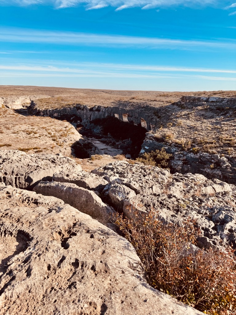
Back on our mesa, we enjoyed a stunning sunset and watched the stars wink to life as darkness settled. And what stars! A dazzling display of the Milky Way and millions of multicolored pinpoints of light drifting in desert silence. Seminole Canyon has it’s charms.
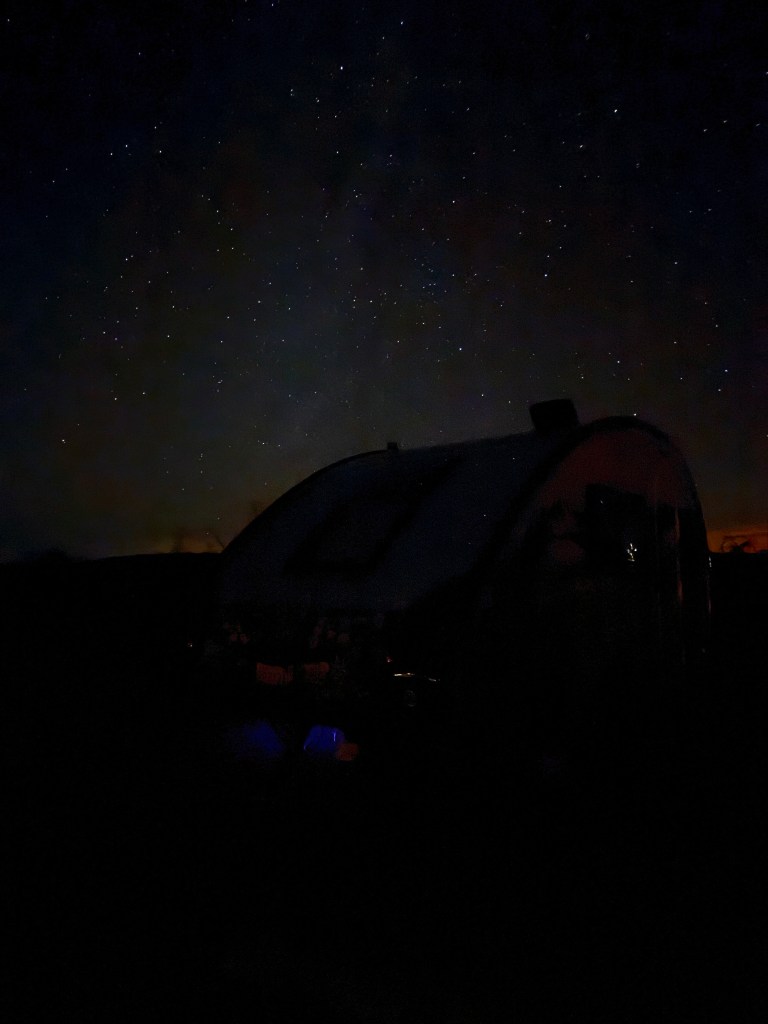
Tequila Sunrise
January 27-30, 2024
A pod of white pelicans bank in for a landing in the Laguna Madre as my muse and I watch from the shade of a palapa, frozen wine-a-rita in hand.
Both of us were taking a break on the tranquil shores of Corpus Christi.
From the bustling streets of San Antonio we descended through rolling grassland dotted with oak, and soon the sun came out and refineries dotted the landscape. Within two hours we were in another world.
We had booked a KOA site for it’s proximity to Padre Island and the beaches, but as we pulled in to our site, the sounds of Jimmy Buffet and the gentle ocean breeze made us collapse into our Adirondack chairs and wish to never leave. We had a view of the lagoon and the pups had a huge grassy spot for their pen. We spent the afternoon watching the seagulls and pelicans, and didn’t even bother heading to Padre Island.

The campground is located on a peninsula that juts into the Laguna Madre, the body of water between the barrier island of Padre and the Texas mainland, and has a thoroughly tropical vibe. A turquoise clapboard building on stilts sat at the entrance and housed a general store with, among other things, five flavors of frozen wine-a-ritas. Fellow campers sat in colorful rocking chairs, sipping drinks, enjoying the view and listening to a musician strumming his guitar on the beach. Were we really still in Texas?
The next morning brought a subtle tangerine sunrise alive with birdsong, and we decided we should really see more of Corpus Christi than just our campsite.
We headed to Padre Island National Preserve on the Gulf Coast. Neither of us had been on a barrier island before, and looking at the map assumed them to be slivers of sand dune-strewn land that you could see across. Naive, we know. Padre Island is 113 miles long and a mile and a half across, and the preserve itself has the longest stretch (70 miles) of natural barrier beach in the US. One can drive the whole stretch of the beach with 4 wheel drive, and even camp there (but no on-site drinks.)

The dogs frolicked in the sand and chased balls in the surf. Phoebe bucked and smiled, Phinn discovered all manner of delectable decomposing sea life, and we ran around extracting things from his mouth and gagging. We had a sunset picnic of German potato salad and mesquite-smoked sausage, and returned to the campground to watch the lights of the island twinkle in the velvety night.

The sun rose without us the next morning, as we slept off our beach idyll. The great tailed grackles woke us. They discovered the dogs’ water outside, which was apparently a coveted vintage. They were calling their fiends to the party with their weird, amplified electronic crackles, and posing like Balenciaga models on the fence, extending their iridescent black necks skyward.
We spent another day walking the beaches, exploring the tourist areas around the WW II aircraft carrier Lexington, and soaking in the tropical vibe. At my new favorite grocery store, H.E.B., I discovered a variety of to-go foods, including a tasty shrimp ceviche, and we returned to the campsite and lazed away the afternoon.

After another gorgeous sunrise enjoyed from our chairs, and we hooked up to leave this beautiful spot. My muse refused to go.

San Antonio
January 24-26, 2024
We left Big bend under sunny skies, bound for San Antonio and another eight hour drive. We had to add 15 minutes to that total just a mile from our campground when a vexed-looking coyote refused to get off the road. After some aggressive honking he finally departed, but not before turning around and fixing us with a disgusted glare-the coyote equivalent of a middle finger.
We headed north on 385, following the Comanche Trail traveled by so many in the past, and leading from Fort Stockton into Northern Mexico. We passed Marathon, home to the West Texas cattle industry and named for they interesting rock formations that reminded an early settler of the plains of Marathon in Greece. Dirt roads branched off the main road regularly and undulated over the grasslands to unseen ranches.
Next, we were in Fort Stockton, the heart of one of the richest oil and gas fields in Texas. Oil derricks bobbed along the roadside and signs alerted us to fossilized dinosaur tracks, a reminder of the origins of “Texas gold.”
An exhausting six hours later we arrived in San Antonio, tucked into our campsite and retreated, exhausted, to lie down in Boo. Just as we entered, raindrops began to tap the roof, and soon we were in a full blown Texas thunderstorm. We watched the tree branches sway wildly outside the large window over the bed, and as darkness fell the first claps of thunder arrived Soon the sky was cracked with lightening, and the storm sat right over us, the flashes so bright they washed everything but a bright rose color from my vision and sent Phoebe into a panic. We thought of the campground’s large propane refill tank sitting upright close to our campsite and joined Phoebe in her panic, but we all managed to weather the storm.
Next morning, as we walked the dogs in the darkness, a damp fog rose among the trees in the campground, and filtered the huge January wolf moon. A dramatic introduction to San Antonio.
The city is surprising. It is the seventh largest city in the U.S., and one of the oldest around, having first been established as a mission by the Spanish Empire in the early 1700s. It’s downtown is built around that first mission, now known as the Alamo.
The Alamo changed from mission to fort as time went on, and was used to garrison Spanish and later, after Mexican Independence, Mexican soldiers to guard the growing town of San Antonio.
The story of “Remember the Alamo” is complicated, but has helped me understand Texas a bit better. After Independence, Mexico had a vast amount of land to govern, and almost no settlers. They tried to get people to relocate from Central Mexico, but no one wanted to live in the middle of nowhere with Comanche as their neighbors. Thus, after establishing a constitution in 1824 very similar to that of the U.S., they sought to entice Americans and Europeans to Texas with the promise of citizenship in the new democracy and free land. It worked, and many, including Davie Crockett and Jim Bowie, came to start new lives. The phrase, much reproduced on T-shirts, “You can all go to hell. I will go to Texas!” was attributed to Davy Crockett after he lost a bid for re-election to congress and departed Tennessee in a fit of pique.
Hence, it came to pass that most of the new Texans were actually Americans and Europeans with Mexican citizenship, who carved new lives on the frontier. In the 1830s, Santa Anna was elected president of Mexico, and within a few months had dismissed the constitution of 1824 and declared himself a dictator. That didn’t go over well with the Texans, who decided to stay and fight for the lives they had created. Skirmishes back and forth began to nibble at Santa Anna’s pride, and he decided to show the upstart Texans once and for all who was in control. From February 23 through March 6 of 1836 he laid siege to the few hundred Texans in the Alamo with an army of thousands. The 26 year old commander of the Texans asked for reinforcements, closing his most famous appeal with the message that irrespective they would fight: “Victory or Death,” another oft-quoted Texas slogan.
No reinforcements came, and the Texans were all killed, Davy Crockett and Jim Bowie included, in the pre-dawn of March 6 and their bodies burned by Santa Anna. Six weeks later, Sam Houston defeated Santa Anna’s army in 18 minutes with battle cries of “Remember the Alamo” helping inspire his troops. Texas remained a republic for several years thereafter, but repeated invasions from Mexico, who still considered it their land, resulted in Texas joining the U.S.

This sense of independence and willingness to fight for it seems to run through Texas today, if a bit twisted by modern-day politics…
The Alamo of today is primarily the remains of the mission church and a few walls, none of which really figured in the battle but have become emblematic of it. It’s a beautifully organized park now, with re-enactments of the militia, holographic displays of what being inside the Alamo during the siege would have felt like, and a fabulous museum of period artifacts donated by Phil Collins (yes, that Phil Collins of Genesis) who is a huge Alamo history buff.

The Alamo mission church is a wonderful anchor for downtown, and is surrounded by old, graceful buildings replete with their own history, and laced with the watery tendrils of the San Antonio River.
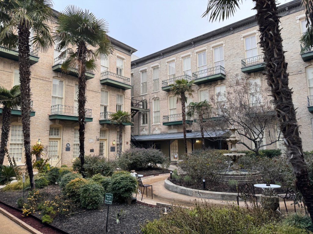
The river was not always so lovely. In the early autumn of 1921, a flood killed more than 50 people in San Antonio, and started discussions about how to prevent future flooding. After some wrangling and the brilliance of a prominent city architect, the riverwalk was created. Over the years, it has been enlarged to 2.5 miles of canals through downtown, lined by shops, hotels, offices and restaurants.
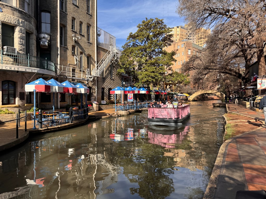
We arrived in the early morning and left the pups in Junior, parked in the shade of a hotel on a typical city street. Within a few steps, we were in another world of green canals, colorful umbrellas, waterfalls and lush landscaping. Pastel-colored electric boats plied the river, and intriguing architecture-Venetian, French, Spanish-engaged the eye. Birds chirped from the trees and our fellow tourists walked likewise dazed through the dreamy landscape. I haven’t seen anything like it outside of Venice.
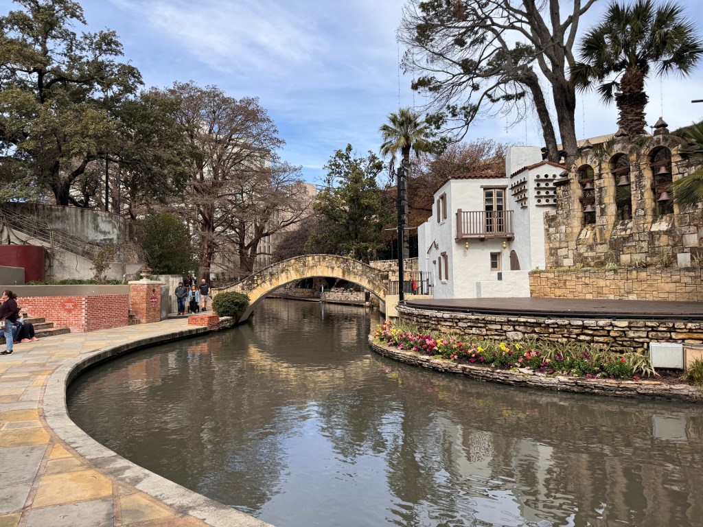
We climbed back up to the main street after our walk, headed for lunch at Pinkerton’s, a famous Texas barbecue we were told not to miss. One orders meat there by the pound, and Erich managed to eat the largest beef rib I had ever seen at 1.5 pounds! It has not settled well, and he rues the choice…
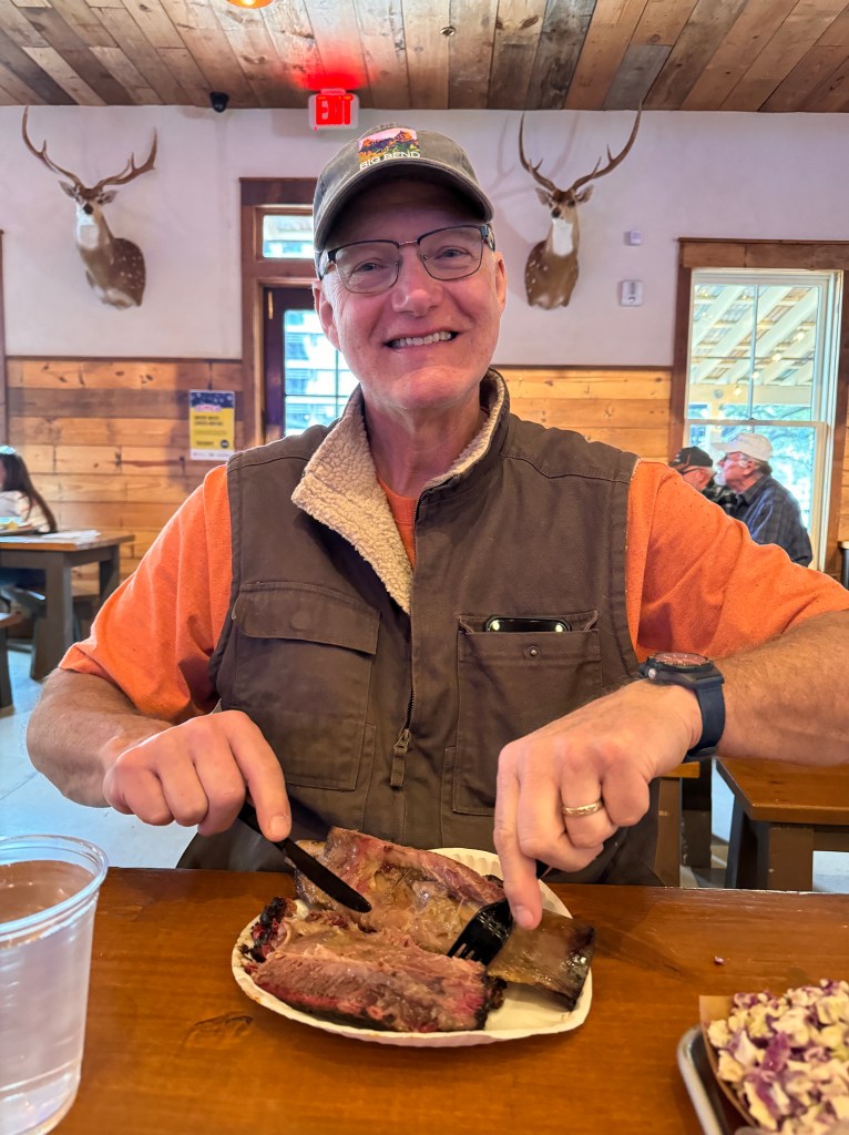
Back at camp, we took the pups for a walk along the Salado trail, which stretches 8 miles along the creek of the same name outside our campsite. A recent flood left the grasses flat, the earth boggy and all manner of detritus caught in the fencing. It was nonetheless peaceful, almost bayou-like, until we were charged by a feral dog snapping and snarling at Phinn, who returned the favor. Erich, again my hero, grabbed a large branch and while I dragged the pups away, he fended off the dog, who finally gave up. I think I heard him cry “Victory or Death!”

And with that, we’re ready to move on from San Antonio.
Big Bend.
January 23, 2024
The dogs snore softly, raindrops patter on the roof and an occasional coyote yip pierces the otherwise quiet morning. It’s 3 am in Big Bend. Our partying neighbors set off their car alarm not long ago, which jolted me from a pleasant dreamy drifting, and worry about Boo has kept me awake.
We decided to stay a third night here. There is so much to see and such interesting history, Were it not for the dogs, we would stay a week. At least we would have, before our unfortunate encounter with Blue Compass RV.
We’re discovering all manner of things that are amiss with Boo-a large gouge in her starboard quarter undersides which we know we didn’t cause; a broken burner on the stove; more interior gouges and most worrisome, it appears her solar panel isn’t working. It used to be we could be off the grid for a week without a loss in battery juice, but after acrobatic creeping through the darkened trailer to the monitoring panel just now, only one glowing red dot, and that is flickering. Our battery is low.
That won’t be a huge issue this morning, as we have a 6 hour drive to San Antonio to replete it, and will be connected to shore power tonight, but I worry that if a battery can’t be charged with a solar panel in West Texas, there’s got to be something amiss…
Better to focus on our lovely stay here, a park we would love to return to someday.
After the rains of the previous night, all the back roads were closed, so we contented ourselves with more conventional adventures.
First, off to the Chisos Mountains, the serrated colossi that anchor the park at it’s midpoint. The sky was low and moody, and dark clouds played amongst the peaks. We would upward through yucca, agave and creosote to scrub oak and juniper, then crested a rise and the Chisos Basin lay below. us, a lovely forested dell in the center of a crown of stone. Views between the peaks swept south forever to the Rio Grande and into Mexico, and it felt as though we had entered an elven hideout, far removed from the modern world. All manner of trails beckoned, but, pup-bound, we had to pass. How many times have I said we need to return without the dogs someday?

Next, we wound through the badlands on the park’s western side. Bands of color painted the barren hillsides and evocative names like “Mule Ears” identified the toothy rock outcroppings. Blinding white mounds sat jarringly in the ochre landscape-the desert’s icebergs.

On the edge of this alien landscape sat Castolon. First an army barracks, then a small town above cotton fields on the alluvial plain, and now a visitor’s center with interesting exhibits scattered through the remaining adobe buildings. Sepia photos spoke of Texas Rangers and a hard life scratched from the desert, made possible by the waters of the Rio Grande. Speaking with the ranger, I learned life wasn’t easy even now: “It’s an hour to groceries, two to good groceries, and we’re at the end of an old power grid, meaning we’re hot and cold a lot.”

From Castolon, we descended into the world of the river, winding through the sudden trees and lush grasses-a pale green, nurturing ribbon. Ahead the vast limestone escarpment of the Sierra El Mulato loomed, cut with the dramatic gash of the Santa Elena Canyon. The Rio Grande has carved a 19 mile, 1500 foot tall channel into the mountains, which even in the 1800s was recognized as a natural wonder and preserved, pre-Big Bend, as “Texas Canyon.”
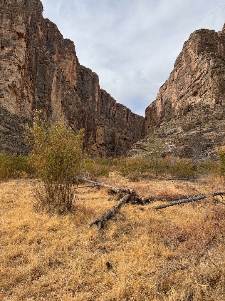
In the 1850s an expedition sought to map the region, but intimidated by it’s high walls and knowing that once you were in, there was no way out, they elected to send an empty boat through first. Only bits and pieces made it out the other end, and further exploration waited until the 1880s. Today, rafting companies ply the waters when high, but hikers can still only make it about three quarters of a mile before being stopped by the sheer cliff walls.
We took turns wandering this trail as it sloped gently to the river’s edge. Almost tropical aquamarine waters lapped the sand, reeds grew in golden bunches, the sweet smell of glowing flora filled the air, and upstream the river disappeared beguilingly between the purple canyon walls.
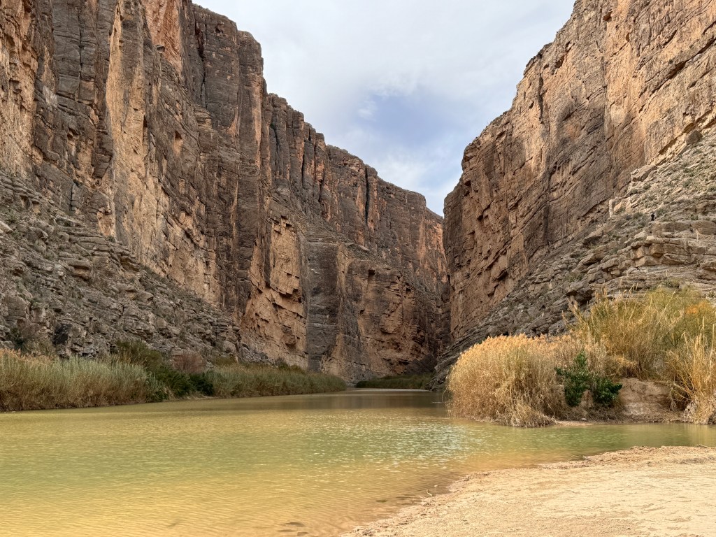
The brooding clouds that had been on the eastern horizon all day looked like they were gathering for a storm, and we wanted to make one last stop at the hot springs. We reluctantly left lovely Santa Elena Canyon and re-traced our steps east across the park.
Several miles outside our campground, we turned south on a dusty, cream-colored road and followed a nail-bitingly narrow lane clinging to the side of a sandy gulch to the trailhead for the hot springs.
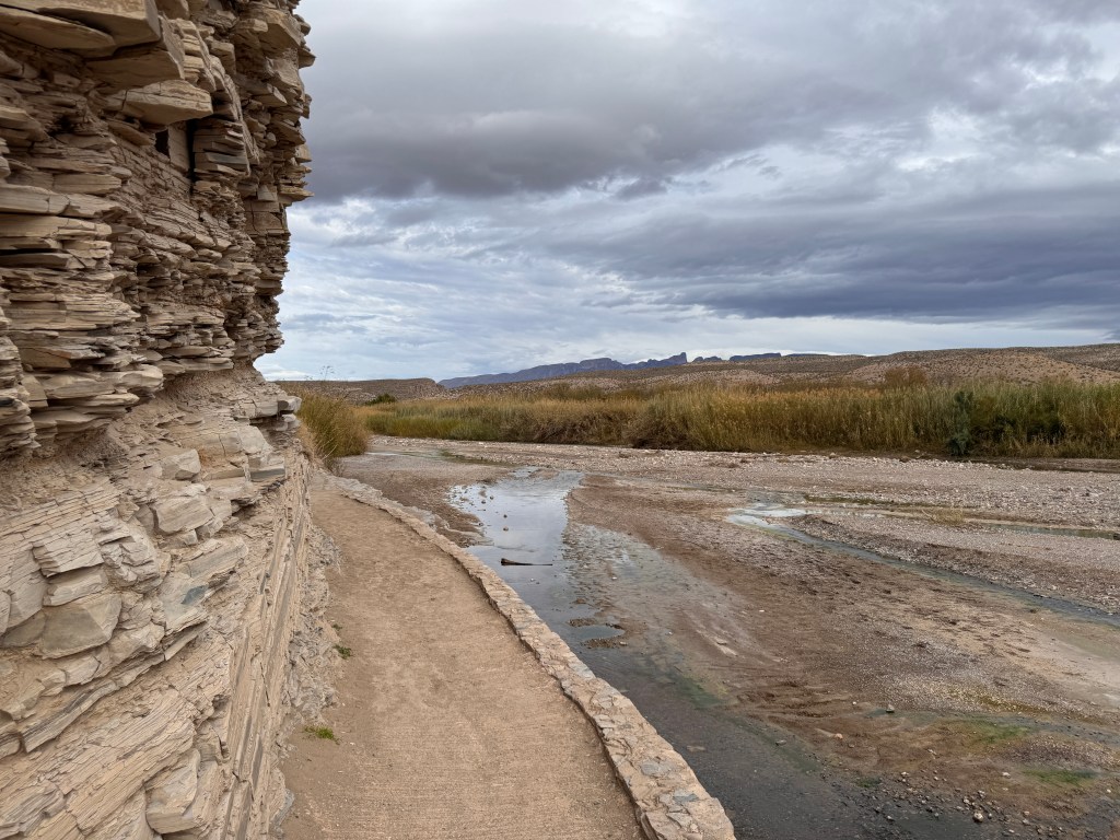
Once again, a completely different world. Light-colored scree replaced the brooding purples of Santa Elena, and palm trees grew in classic oasis-like clumps. Though known for thousands of years and used by pre-historic peoples whose petroglyphs still decorate the rocks, the hot springs was “discovered” and commercialized in the 1920s. A guest house, post office and support buildings grew up around the springs and are now preserved along the trail to the hot pond.
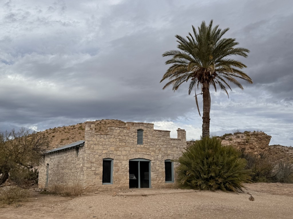
The chalky trail winds along the river, and one can follow the heat-loving vibrantly colored mosses like breadcrumbs to the spring. The pool built in the 1920s remains in use today, a warming 105 degrees. All who read this know I love a good hot springs, but Erich was awaiting his turn to walk the trail and I had pup duty. Yet another reason to return to beautiful Big Bend.
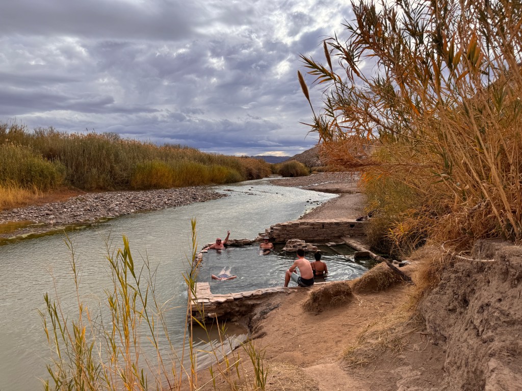
A Toe into Texas
January 20-22, 2024
All footprints in the coarse sand led to the river. There were horseshoes, cloven hooves, waffle soles and even a cat track, all in search of that rarest of desert survival needs: water.
The sand whispered under our feet, the only sound this early morning on the banks of the Rio Grande, and it was bliss.
Long a goal of ours, we had finally reached Big Bend National Park in the far southwest of Texas.
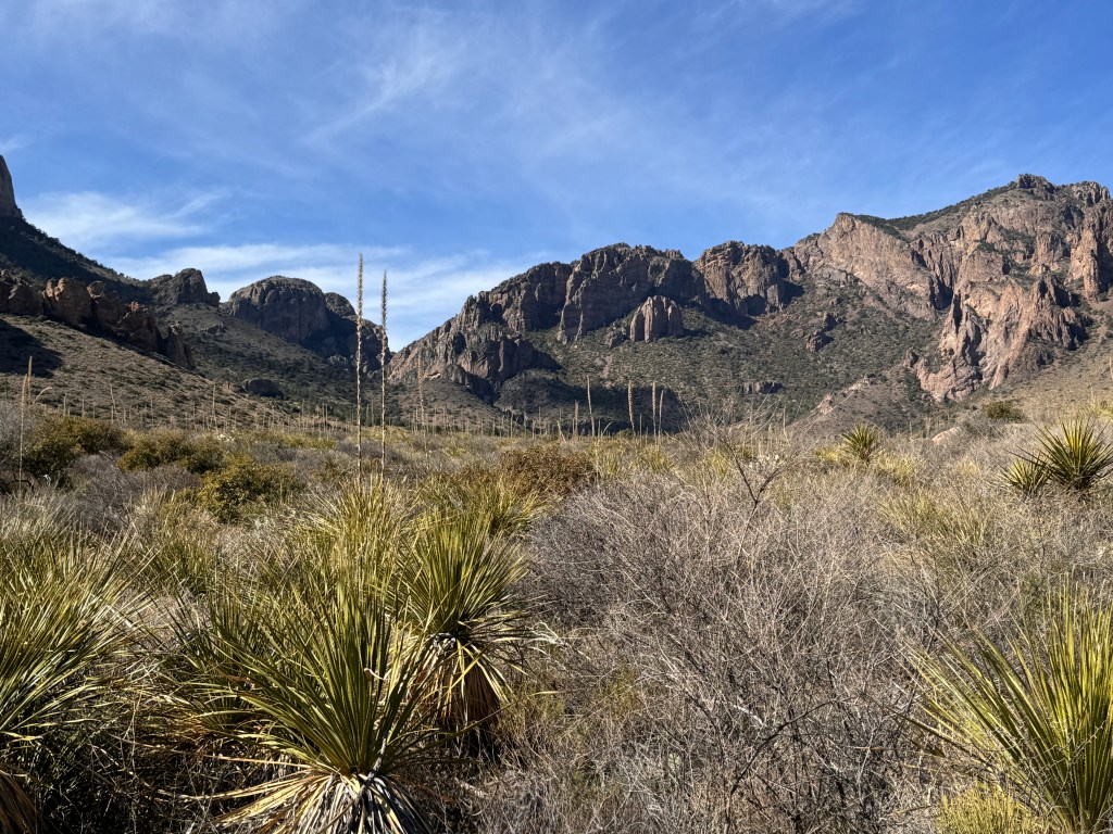
Having Boo back has opened up our world again, and as soon as the chores of living were taken care of in January we headed out to explore West Texas. I’d only been to Texas once during interviews for Internal Medicine Residency. I stayed a single night at the “Non-smoker’s Inn” in Dallas (chosen by the University of Texas who payed my way), and the most memorable thing about that visit were the thin slices of diseased (smoker) vs. normal (non-smoker) lung that decorated the walls. Even then I found it odd, and never returned to Texas.
Since we’ve been compiling National Parks we want to visit, we learned about Big Bend, and decided to make Boo’s first trip “back in the saddle” to Texas.
We headed east on I-10, past our old favorites of Fort Bowie, Cochise Stronghold and the Chiricahua Mountains feeling a certain sense of accomplishment that we have really gotten to know those areas. It’s a long drive to Texas, and we spent the night in Las Cruces, New Mexico, to break up the trip. Phinn frolicked with Ella at the local dog park while we visited with her friendly owner, and we had an amazing Mexican food dinner at a restaurant open since 1930 (and looking every minute of it’s age) on the route of the old Camino Real. Our waitress was wearing a Virgin of Guadalupe sweatshirt and looked at us curiously from under her half-inch eyelashes.
It rained overnight, and we awoke to a sky threatening snow. Time to head south!
We crossed into Texas just outside El Paso, and saw the thin thread of the Rio Grande to our right, fronted by a rusty border wall. Pastel boxes climbed the hillsides beyond the fence, and we wondered what it would be like, looking across that border every day, separated by both so little and so much…
We turned south towards Marfa, a town our Tucson neighbor told us about, advising we needed to see it on our way to Big Bend. The town has likely been ranching for several hundred years, but is now a draw for artists and culture hounds thanks to the sculptor Donald Judd. In 1971 he went in search of a space where his minimalist, industrial sculptures could be installed permanently in a space he felt complemented them. By most accounts, he was a prickly fellow who disdained museums and felt that the space around a work was as important as the work itself. To that end, he bought all manner of buildings and installed his sculptures there. We didn’t have time to stop and see them-the photos do look pretty amazing, though the landscape itself has much to do with that. Many other artists joined him over the years, and we were able to see one installation just on the side of the two lane highway-a faux Prada Boutique.
After that interesting spot, mile after endless mile spooled out over the grassland, followed by a gradual descent into desert scrub. Creosote-studded sand replaced the grass and on the horizon jagged purple mountain cut-outs loomed. They grew no closer as we drove, and both dogs and humans began to whine. The sign for “Big Bend National Park” was a relief, but like everything in Texas, the park is big, so it was another 40 miles to our campsite in the Rio Grande Village.

We pulled into our site across from a group of 20-something party animals, a tired and snippy bunch after being on the road almost 8 hours.
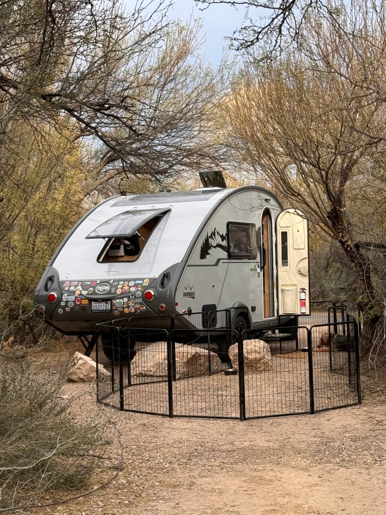
Fat raindrops pelted Boo during the night, and the temperature dropped to the low 30s, driving our party animal neighbors into their cars, but the morning brought sunshine and with it warmth and better humor.
After walking the pups, they returned to their chambers in Junior for breakfast while we walked the Nature Trail just down from our campsite.
A more lovely introduction to the park could hardly be imagined. Bridges took us across wetlands grown high with golden grasses. Birds flitted between the stalks and filled the air with song. We climbed out of the riparian zone and onto the desert hillsides, where trusting craftspeople from Boquillas del Carmen across the river in Mexico had set up self-serve displays of ceramics and barbed-wire figurines. I treated myself to a whimsical roadrunner.
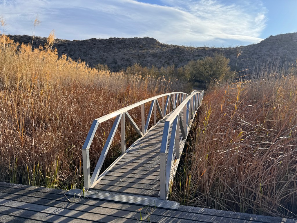
A fork from the path led down to the Rio Grande and we followed the footprints of man and beast to the water, passing shallow depressions in the rocks where ancient peoples had ground corn on these shores thousands of years ago.
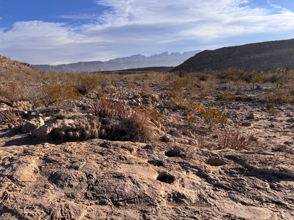
We rounded a corner, and the river curled Northeast towards a tight canyon. On a sandbar extending from the Mexican side, perfectly lit by the rising sun, sat a man on a burro with a lasso. We exchanged waves and continued on our way, only to encounter him again as he trotted by us practicing with his lasso and shouting a genial “Hola.” Up ahead, we saw his quarry, a chestnut mare that had wandered across the river and was grazing quietly on a ridge above the river.
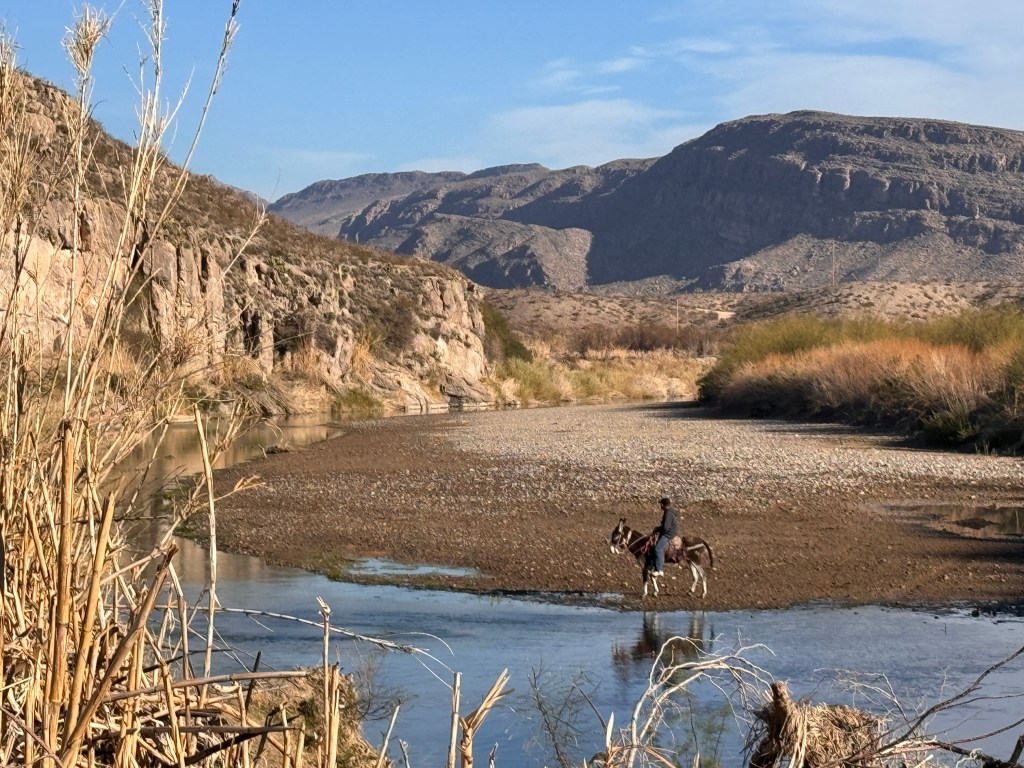
We left him to his task and returned upslope, passing another escapee watching us from high on a hillside.
Back at camp, the pups were ready to roll. We stopped at the main visitor’s center for maps and information, then set off on to explore the backroads.
We’ve discovered after bringing dogs to so many National Parks, that our best bet to enjoy the scenery and for them to have a decent time as well, is to go off the pavement. It’s been surprising how many parks have off-road trails, and none more so than Big Bend.

We started down the road to Glenn Springs, a once thriving town processing wax from the candelillia plant in the early 1900s. That all ended on a May night in 1916, when the town was attacked by Mexican bandits and several inhabitants killed. It was difficult to find workers thereafter, and the town gradually died. The only remnants today are several weathered corrals and numerous scattered tin cans scattered over a dry, lonely plain. To the west of the site is a small canyon, and from the parched rim you can hear the soft murmur of water, a running witness to a sad history.

En route to the site, we took an offshoot to Pine Canyon, upslope and in the heart of the jagged Chiso mountains. Desert scrub changed to pinyon and a profusion of lechiguilla agave, a species that grows only in the Chihuahhuan desert and blooms once, then dies. As I walked the pups down the rough gravel road surrounded by the last gasps and skeletons of these interesting plants, Mexico fell away in a haze of layered peaks to the south past the ribbon of the Rio Grande, the mountains surrounded us on all other sides, and the only sounds were the crunching of paws and feet on gravel.
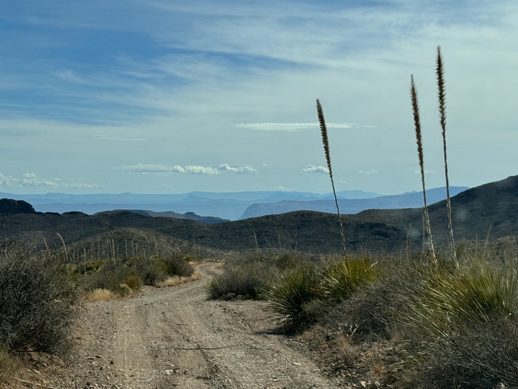
Re-hitched
January 3-6, 2024
We got the word last week that Boo is finally ready to go, so we packed up and headed out to New Mexico.
After months on the road, we’ve come up with a plan that has us driving no more than 5 hours a day. We find this works best for the sanity of all, meaning this keeps Phinn happiest so he doesn’t make the rest of us miserable.
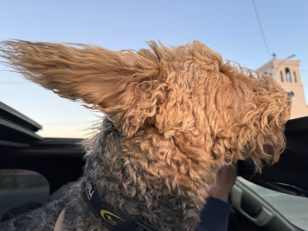
We crossed the broad Sulfur Springs Valley past Fort Bowie and Apache Pass, and snow dusted the Chiricahua and Huachuca mountains. A new jaguar was recently captured on a game camera in the Huachucas, and it joins resident jaguars “El Jefe” and “Sombra” as the third to now stalk these peaks. It’s hard to imagine looking up from the barren valley floor that such vibrant life lurks above.
At the Hatch cutoff, dozens of crimson ristras twisted in the sun and beckoned me. I love a good ristra, so it was hard to resist, but I had to turn my head and drive lest the condo become a hoarder’s paradise.
Arriving in Truth or Consequences by noon, we set out to explore the few blocks of old downtown. In the warren of dusty rooms that makes up Xochi’s Bookstore and Gallery, I came across a first edition of the Pulitzer Prize-winning “Lamy of Santa Fe,” and “Territorial Medicine in Arizona.” I could have lingered for hours pouring over this hoarder’s paradise, but Phinn was whining in Junior, so I had a brief conversation with the clerk about how the books are acquired (the owner travels the state plucking books from estate sales and does most of his business online) and how the economy of the area has been given a boost by the recent construction of Virgin’s “Spaceport” nearby, from whence rockets are launched at monthly intervals.
After checking in to the aptly named “Rocket Inn,” we wandered the banks of the Rio Grande serenaded by great tailed grackles and curved billed thrashers. A spectral teen in goth black popped up at the top of a skate park ramp beside the river, and Phinn went crazy barking. For once, I agreed with Phinn- his gaze was really creepy as he slowly turned his head, staring at us intently as we walked by…
The sun was setting, and we had a date with at the Riverbed Hot Springs, so we returned to Junior and set off.
Truth or Consequences was once named “Hot Springs,” but changed it’s name in the 1950s after a contest from the popular radio show of the day. The goal was to distinguish itself from all the other towns in the country called “Hot Springs,” and that it did, along with vexing the New Mexico Department of Transportation who put up as few mileage signs as possible with the cumbersome name.
It’s always good to have low expectations, as you’re then constantly delighted. I might make this my life’s motto. We booked a “room,” which is rented by the hour, at the hot springs, and we suspected it might be as seedy as it sounded. Arriving just after sunset as the Christmas lights twinkled on and were subtly projected across the Rio Grande and onto the mesa opposite, we were ushered to our reserved “Cielo” room-a haven of stone-tiled floors and spring bath with a warm waterfall open to the “Cielo,” Spanish for sky, above. Stars winked into view, soft spa music complemented the waterfall, the Rio Grande twisted below and the 102 degree water warmed every joint and loosened every muscle. The perfect balm after a long road trip!

Up early to make it to Albuquerque for our date with Boo, we listened with trepidation to the forecast: Freezing temperatures and a winter storm. We decided to reserve a spot with electricity just in case of any malfunctions, and found Boo sitting forlornly in the RV lot, missing two of her four handles and with several new gouges in her interior. Her wheel fenders were not screwed on, and when I investigated the interior further we found that in the “winterization/dewinterization” they had performed for us during her long stay, they had drained the glycol from our heater by mistake. Thanks goodness we discovered this, as electricity would not have saved us from a frosty night! After making the needed repairs ourselves, we were happy to remove Boo from this dealership’s less-than-tender care.
Setting up camp and verifying a working heater, we departed for Old Town Albuquerque.
Located just off the Rio Grande, Old Town Albuquerque is a delightful maze of old adobe blocks with small, beguiling courtyards surrounding the larger town square. Established in 1706 along the Camino Real from Mexico City to Santa Fe, it is filled with shops, restaurants and street vendors and normally is very busy. On this cold, post-holiday weekday afternoon, it was near deserted and we were able to wander the streets with the pups with ease.
We wound through mazes of small streets, peered in elaborately decorated windows, talked trailer with a friendly photographer in the local co-op, and had an amazing dinner of enchiladas smothered with Hatch chili and fried ice cream at the Church Street Cafe, and walked back to the car as the luminaria lit the night sky.

Boo was cozy, and we slept well and woke to corn snow gently tapping the roof. Our plan was to head for Santa Fe, and as we started out the snow became decidedly less gentle and more full-on blizzard. As temping as seeing Santa Fe in the snow was, it was not worth our safety and we turned south and headed for Silver City instead.
I’d driven by the signs for Silver City countless times on my trips from Denver to Tucson, and it always seemed like it would be an enchanted town tucked in the Gila Mountains-another turn-of-the-century mining town given over to artists.
The snow cleared as we headed south and turned east to the Gila National Forest. The highway became a two lane, no-shoulder affair as we climbed higher into the mountains and then we were once again in snow. Nevertheless, the drive was beautiful (that said, I wasn’t the one doing the white-knuckle driving!) and we stopped to let the pups frolic in the snow at the side of the deserted road.
As we pulled in to Silver City, the wind began to blow and didn’t stop during our visit. We wandered the old main street, had another amazing Mexican food meal sans fried ice cream, and browsed the used bookstores. Perhaps it was the wind and snow, or I failed to apply my new life’s motto of low expectations, but it wasn’t nearly as charming as I had imagined.
Boo was buffeted by the winds but remained cozy, and as I walked the pups in the pre-dawn morning the clouds pulled apart to reveal an array of stars and I recalled why enjoy camping.
We hitched Boo and drove down through the Burro Mountains in a gauzy fog, the vast basin and range country far below and with our girl back in action, the possibility of more adventure ahead.
Something Amiss
December 26-28, 2023
Buoyed by our wonderful roadtrip to Organ Pipe, we began investigating other spots in Arizona we hadn’t explored and booked a trip to Lake Havasu City.
Located above the Parker Dam, Lake Havasu City was created in the 1960s after an entrepreneurial pilot flew over the region and felt it was the perfect spot for a recreational community. He needed an attraction, other than the water, and found that in the London Bridge.
London had build the bridge in the 1830s, but it hadn’t fared well under the heft of modern traffic and was slowly sinking into the Thames. It was put up for sale, and was purchased for Lake Havasu City. It was dismantled stone by stone, each stone numbered, and shipped to Los Angeles, trucked across the desert and reassembled over a newly cut channel in the newly made landscape of Lake Havasu. It’s weird, and as such perhaps a good emblem for the city itself.
We read about the lost Frenchman Mine and the age of paddle wheelers on the pre-dammed Colorado River of the 1800s as we drove across the parched desert west of Gila Bend. The saguaros here looked bleached and riddled with worm-like tunnels, and the mountains rose like blank, rocky slates on the horizon.
Turning off at Quartzsite, former site of desert camel brigades, we headed north along the bony hills towards the Colorado. A more barren landscape is hard to imagine-very little in the way of vegetation, and parched volcanic land rising to bare, stony mountains.
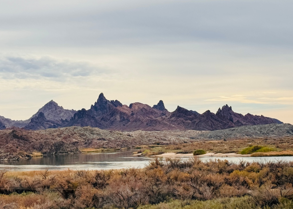
Suddenly, the blue ribbon of the Colorado cut the scene, and with it came another ribbon of manufactured homes, RVs, golf courses and ATV trails. We followed this line to Lake Havasu City, crossed the London Bridge and checked in to our “Bring Fido”-friendly hotel on the city’s island.
The hotel had a bizarre feel as well-a former grand lady of the island fallen onto hard times and purchased by Motel 6, which rebranded it “Studio 6.” There were holes in the lobby’s drywall, strategically (almost) covered by pink tinseled Christmas trees, and the entire 400 room place had perhaps 10 guests. We were given a “deluxe” room on the top floor with a balcony and view of the lake. The door signage in the room said it’s rate was $440/night. We paid $65, and didn’t really get our money’s worth-more holes in the drywall, a broken television and coffee maker, and electronics that dated from my college years,
After Phoebe and Phinn thoroughly checked out the years of stains and smells, we headed out to explore Lake Havasu City.
We ended up doing a loop across the bridge, to the mainland, and back around. Cookie-cutter beige stucco homes with RV garages lined our route, punctuated by strip malls with retail chains. Very few people were afoot, and our trip did nothing to give us a sense of place.
We ate dinner overlooking the London Bridge, aglow with Christmas lights, and walked the pups on the quay before retiring.
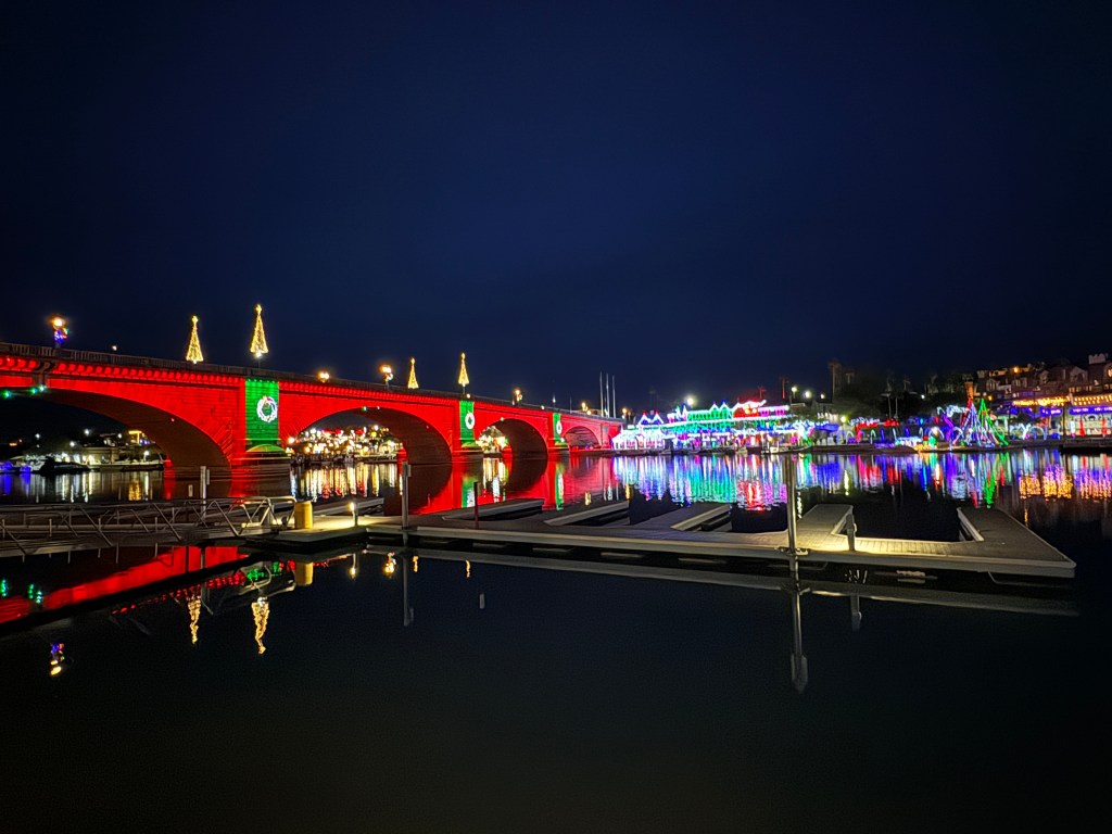
The next day dawned cold and clear, and we watched a beautiful sunrise from our balcony before heading to Oatman, a former mining town now ghost town/tourist attraction 55 miles north of Lake Havasu City.
The pups were wanting exercise, and we stopped at “Catfish Heaven” in the Havasu Nature Preserve to stretch their legs. An unexpected thicket of pussy willows and cat-tails surrounded a boat launch, and the pups ran delightedly in the soft sand until a worker with a backhoe arrived to dredge the boat launch. It looked like he was not too adept, and the huge backhoe was lurching about and it’s bucket banging the pavement. We decided to leave before things went awry and continued down winding old route 66 into another set of craggy Ajo Mountains.
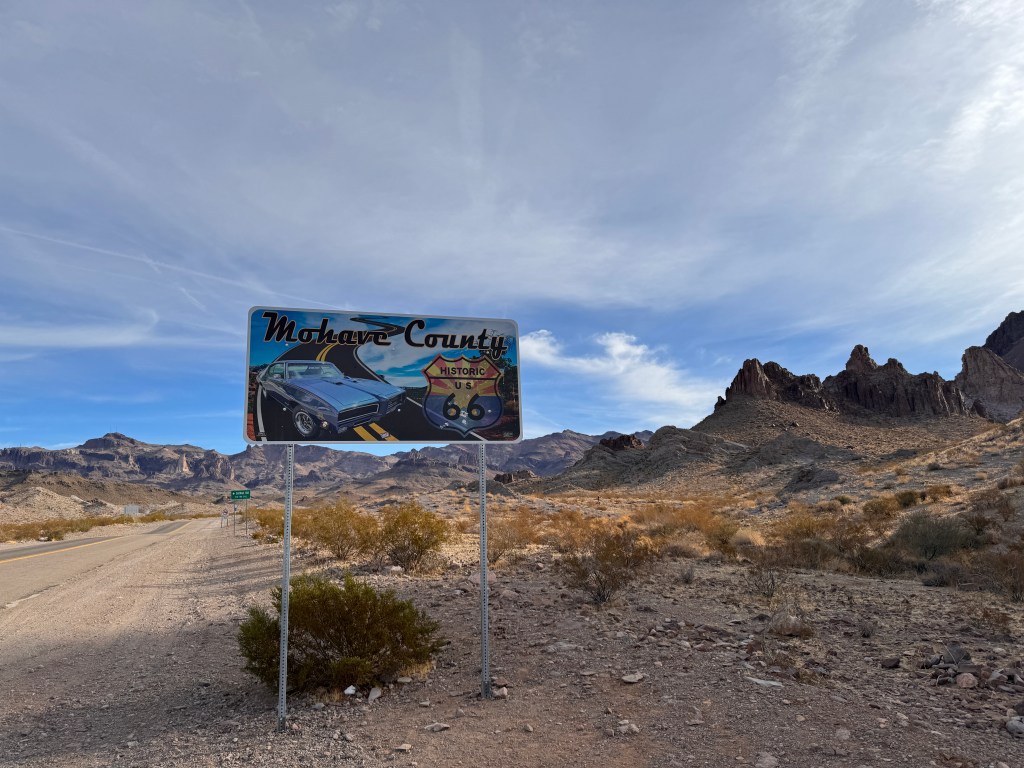
In the early morning, the mountains were lavender cutouts and it was a gorgeous drive to Oatman. We arrived with the morning rush of burros, and parked in front of the old saloon to wander the streets.

Once the most prosperous gold mining district in Arizona, Oatman was abandoned around the time of WW1 and the trusty burros that had been beasts of burden for the miners were released into the wild. They have thrived, and now number into the thousands stretching up to the Nevada border. Every morning, as we learned from a local shopkeeper, 12 of the local burros clomp into town to be fed, pose for photos and occasionally wander into the shops.
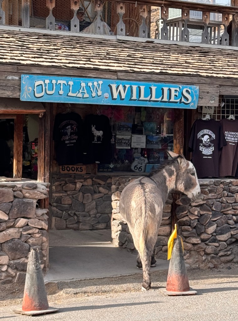
Despite being given over to tourist shops and restaurants, Oatman still retains it’s charm. The old buildings are authentic and a few Hollywood-modified as many Westerns have been shot here. In a bizarre historical tidbit, Clark Gable and Carol Lombard honeymooned here to escape reporters.
After contributing to the local economy and Phinn popularizing us by getting into vocal sparring contests with the burros, we hit the road back to Lake Havasu. The mountains were still spectacular, but the noon sun scorched the earth and what seemed quaint on the way in became tattered and broken.

We stopped again at Catfish Heaven, hoping the backhoe driver had finished his work and the pups could run in solitude. The backhoe remained, and it seemed our suspicion about the driver’s ineptitude was well-founded, as it was stuck in several feet of mud with it’s door hanging open. One can only imagine his horror as the machine sunk-it looked like he barely got the door open to escape!
Back on our island, we watched the technicolor sunset behind the 1/4 replica lighthouses that surround the island, and as we turned around to head back to Junior a beautiful full moon rose a contrasting yellow over the purple Mojave Mountains. Nature redeems man’s bizarre creations yet again.

Unexpected Gifts
Christmas, 2023
Have you ever noticed that the most amazing things are often the least expected?
We’ve been stuck in a bit of a funk lately.
Boo remains Albuquerque awaiting her axle, which is apparently being crafted by elves who have been busy with other Christmas orders, thus the exact timeline remains vague and our wanderlust-the thing that feeds our souls-has been quashed.
After sitting around the condo for two days of much-needed rain, we had reached the end of our tolerance for small spaces, and we set out on a day trip to explore Organ Pipe Cactus National Monument.
I grew up driving by this region, transiting to and from the beach town of Puerto Penasco in Mexico. As I was in school at the time, it was dark when I went through the area, and I had never seen it in daylight so thought it might an interesting jaunt. I set expectations low, as the main claim to fame I recall is that most living creatures in the monuments have gone their entire lives without a drink of water, getting moisture in this arid region from plants.
There is a mess at the border right now with migrant surges and shattering violence, and the usual route to Puerto Penasco, through Lukeville, has been closed. The town of Sonoyta, on the other side of the border in Sonora, has been emptied due to a cartel war, and it’s population of 2500 has shrunk to 100, the remaining 2400 now seeking asylum in the US. Even if they wanted to stay in Mexico, as many do, they are unable to go south as the rival cartels have set up roadblocks. This puts our current “funk” in humbling perspective, and also means that the area would likely not be crowded with holiday tourists…
We cut west across the vast Altar Valley on the Tohono O’odham reservation, a vacuous basin where in the 1700s slabs of sliver were discovered at the southern end. A rancho in Sonora called “Arizonac” was the epicenter of the find and yet another rush to riches-quite the theme in our travels-resulted in the place name of “Arizona.”
The morning was cool, and after the two days of rain a thick lilac fog skirted the mountains surrounding the valley. The peaks stood out in the the bright sunshine, and the telesocopes atop Kitt Peak glowed a tangerine-tinged white.
The road was straight to the horizon, and roller-coastered through the valley’s many arroyos, many of which had sluiced the road with mud after the recent rains. Road runners zig-zagged across the asphalt, and a rogue wild burro or two sauntered across our path. Otherwise we were quite alone on this Christmas Eve.
We turned left at the town of “Why,” a hamlet of a few gas stations squatting on hardscrabble watched over by a highway patrol car.
Then the Ajo Mountains came into view, and from then on we were surrounded by unexpected desert beauty.
Craggy folds in shades of purple and pink rose from the valley, sides carpeted with rolling sage desert knobby with cacti. Verdant texture spilled from the mouths of dark canyons, watched over by arches of rhyolite. Cottony clouds in a spectrum of gray played about the peaks and cast plum-colored shadows on the slopes. And the most amazing 21 mile gentle dirt road wound through it all. It took us 3 hours to drive.
The Monument’s namesake cactus was everywhere, the only place in the U.S. it lives. Arm-thick chartreuse stalks seek the sun, growing mainly on southern slopes, and have adapted to thrive in heat. Their delicate white-violet flowers bloom only at night to avoid the searing sun, and emit a perfume that is ambrosia to bats, who serve as pollinators.
In the beautifully produced brochure narrating the drive, we also learned that the humble creosote bush, whose post-rain fragrance is ambrosia to me, can survive for two years without rainfall. Even more amazingly, it replicates by sending out clonal colonies, and one specimen in California is thought to be 10,000 years old, one of the oldest living things on earth!
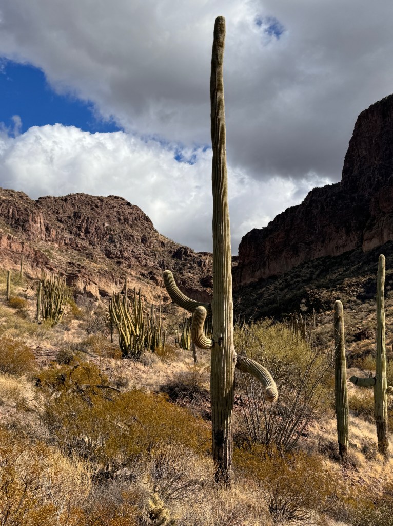
The dogs, of course, were impressed by none of this and just wanted to head home for dinner, particularly after Phoebe had an encounter with a tail-grabbing cholla. We re-traced our rolling line across the vast valley towards a rising full moon, with a new appreciation for Arizona and surprising gifts.
A Year Gone
December 7, 2023
Well, as of 5 pm on December 7 I’ve been retired an entire year.
I get questions all the time from working friends about what I’m doing all day, or if I’ve taken up any new hobbies to fill my free time. It’s strange, but I feel almost busier than I ever was, but with things that I want to do rather than things I have to do.
A simple walk with Phinn (though one could argue effectively that no walk with Phinn is “simple”) to the dog park in the morning takes 2 hours of my day. I’m here to say that choosing between this and running back and forth to patient rooms, fielding questions in between about staff and patients and knowing that my charts are piling up, I would choose Phinn any day.
The mornings are getting cold now, and the overnight dew on the Palo Verde trees beads like a garland of golden lights in the sunrise. Road runners cross our path, and mourning doves serenade us. There is, of course, the occasional raucous outburst from Phinn when he sees another dog, but even that is subsumed in the quiet of the morning.
I return home and turn on the fountain in the patio, which burbles pleasantly in the background as I go about household chores, play the guitar, harass the RV dealer in Albuquerque about Boo’s finish date, read and plan our next out-of-city adventures.
Despite lacking Boo, we have been trying to get out of town at lest monthly for a 2-3 day road trip.
We just returned from a wonderful trip to Prescott, Sedona and Crown King. We dined in a saloon established in 1877 and serving the likes of the Earp brothers and Doc Holiday, admiring the bullet holes in the tin ceiling an the wonderful mahogany bar saved from a fire in 1900 by patrons who carried it out to the street and sat drinking watching the block burn.

We wandered around old, historic Whiskey Row, anchored by the beautiful 1880s courthouse alive with holiday lights in the evening and explored the galleries and shops in the old, turn-of-the-century buildings.

We wound up Mingus Mountain that separates Prescott from Jerome and Sedona, and the pups frolicked in a meadow bedazzled with hoarfrost. In Sedona, we learned more about local history and sought out new experiences-the amazing Church of the Holy Cross arising like a continuation of the rock on which it sits-and revisited old favorites-hiking around Courthouse rock.
We wound up the single track dirt road on the narrow hillsides of the Bradshaw mountains, past almost ghost towns with names like “Cleator,” past life giving springs carpeted with golden cottonwoods and old, abandoned mines dripping with history.
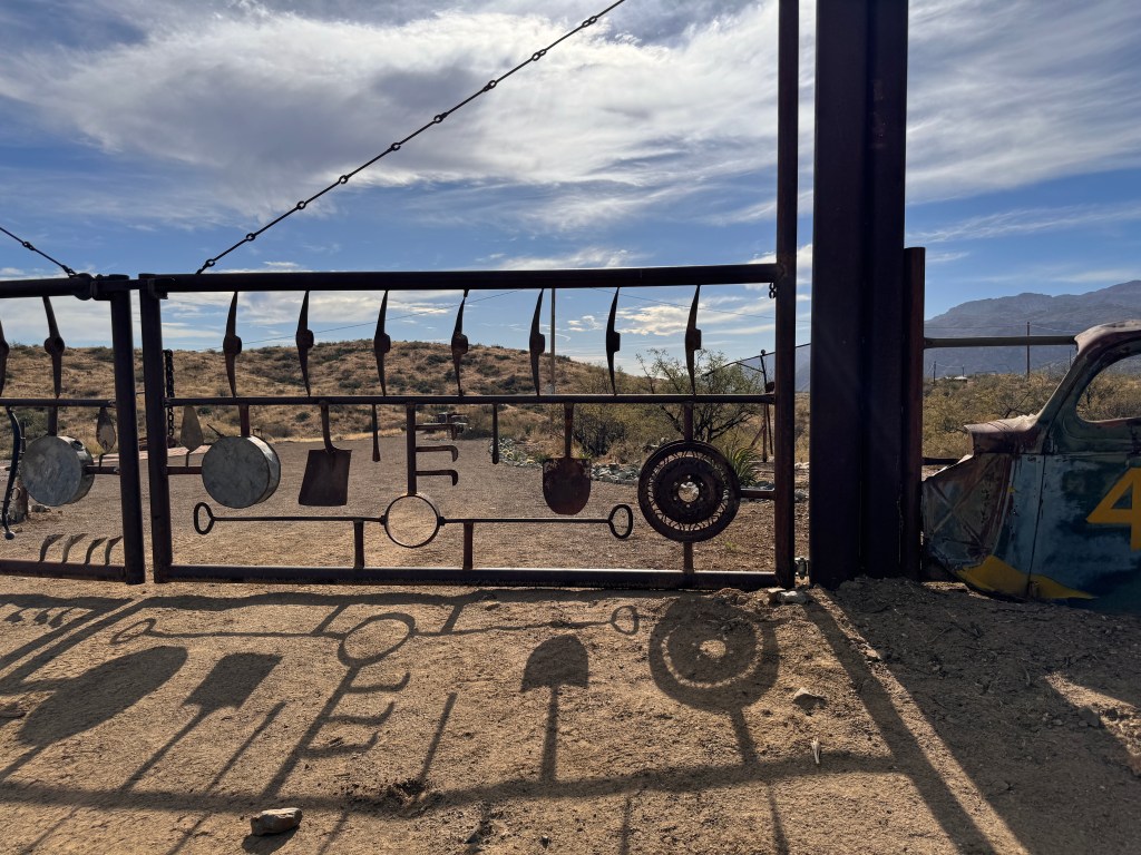
Our “Arizona History” book spoke of lost troves of silver and gold, and old stagecoach routes where Wells Fargo payroll wagons were routinely robbed.
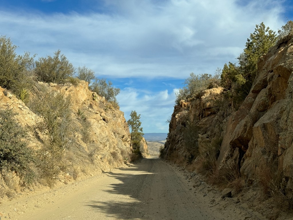
The sun shone brightly, the temperature hovered in the low 70s, the pups hung their heads out the window, and I took a deep breath of peace. I love being retired!
Cochise Stronghold
Thanksgiving, 2023
Old saddles make me wistful. Their cracked leather and exposed wood speak of bygone days and adventures-if only they could talk.
As we drove into Cochise Stronghold yesterday, we were greeted by an ancient saddle, guarding the spot like history’s sentinel.
The day dawned bright and chilly as we set out for our adventure just northeast of Tucson. We drove by the signs for Cochise Stronghold many times last year, and the name is magnetic-a place shrouded in mystery.
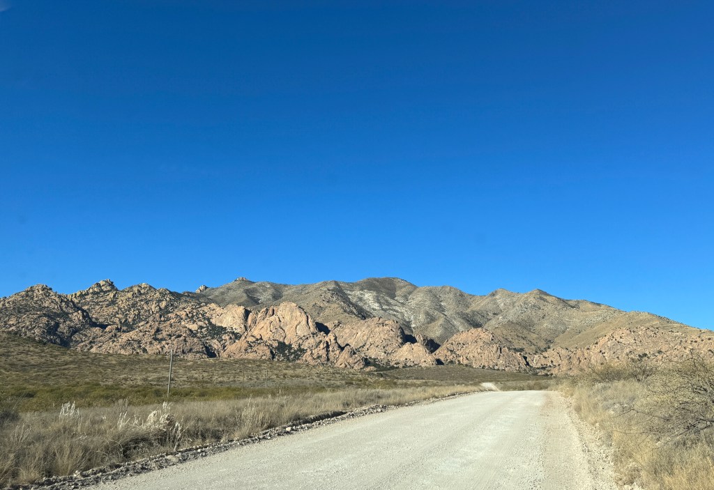
Cochise was the leader of the Chiricahua Apache from 1858 until his death in 1874. He presided over the influx of Europeans, initially welcoming them until the Bascom affair of 1861 during which his family was kidnapped and killed after he was accused (incorrectly, it turns out) of raiding a homestead near Sonoita. This resulted in the long Apache War that ended in 1872, with Cochise getting his beloved mountains as a reservation and his trusted friend-Thomas Jeffords, appointed Indian Advisor for the territory. He died shortly thereafter, before the government reneged on the promise, stripping Jeffords of his title, relocating the Apaches and reigniting the war.
Cochise was to be aware of none of this, and his body was taken to a secret place in the mountains and buried. After the burial, the mourners rode their horses over the site to trample it so that no one would ever find the great chief. The only white man in attendance was Jeffords, and he kept the secret until his death. Cochise’s grave has never been found.

As we followed the sandy path that wound around terra-cotta hoodoos and crossed stream beds lined with rounded, dove-grey rock, we understood Cochise’s desire to rest here. The wind blew in light gusts, the dried leaves on the cottonwoods a papery whisper. The gnarled oak and alligator juniper were dense-perfect places to hide. The canyon walls, a tumble of geometric ochre rock, hemmed us in silence, split only by a sudden velcro-tear explosion of dozens of mourning doves into the cobalt sky.

Cochise could be anywhere, and was everywhere.
On our way out, I stopped to look at the old saddle more closely. Was this the saddle Jeffords rode into the Stronghold to ask Cochise for safe passage for his mail carriers, beginning a lifelong friendship? Was it used by one of the mounted mourners to conceal Cochise’s grave?
Or maybe it was just a ranch saddle, used to herd cattle across this land long after the Apaches were forced north.
Old saddles keep their secrets…
History’s Gardens
November 20, 2023
Boo still languishes in Albuquerque, needing a new axle which will take 6-8 weeks to be delivered. We are thus grounded in Tucson for the time being, though that might be just what we need now.
First, second, third and always, there’s Phinn. His dog training isn’t going well. He continues to bark and lunge at other dogs on leash, and has begun the unfortunate habit of mistaking other dogs’ heads for their nether regions in his teenage zeal. He and I are now notorious at our local dog park, where he not only has a go at his playmate’s heads, but follows up with a well-placed stream of urine while I run (ineffectually) screaming after him.
This has resulted in an appointment for expedited neutering, which took place last week. Unfortunately, our poor boy woke up in the middle of the procedure and understandably tried to jump off the table. He returned to us bruised, with instructions to keep him calm and on antibiotics for 2 weeks. There was also mention that they hadn’t seen a dog quite that “excitable” in years…
So, we’ve been trying to sedate him. He was supplied with ample Trazodone at a dose of 300 mg twice daily, which would knock out a human (I used to prescribe 50 mg nightly for sleep). This seems to have a paradoxical stimulatory effect on him, at least initially, and has him racing down the hall of our condo balanced only on his back legs before he eventually settles into what would be normal behavior for Phoebe. It’s going to be a long two weeks…
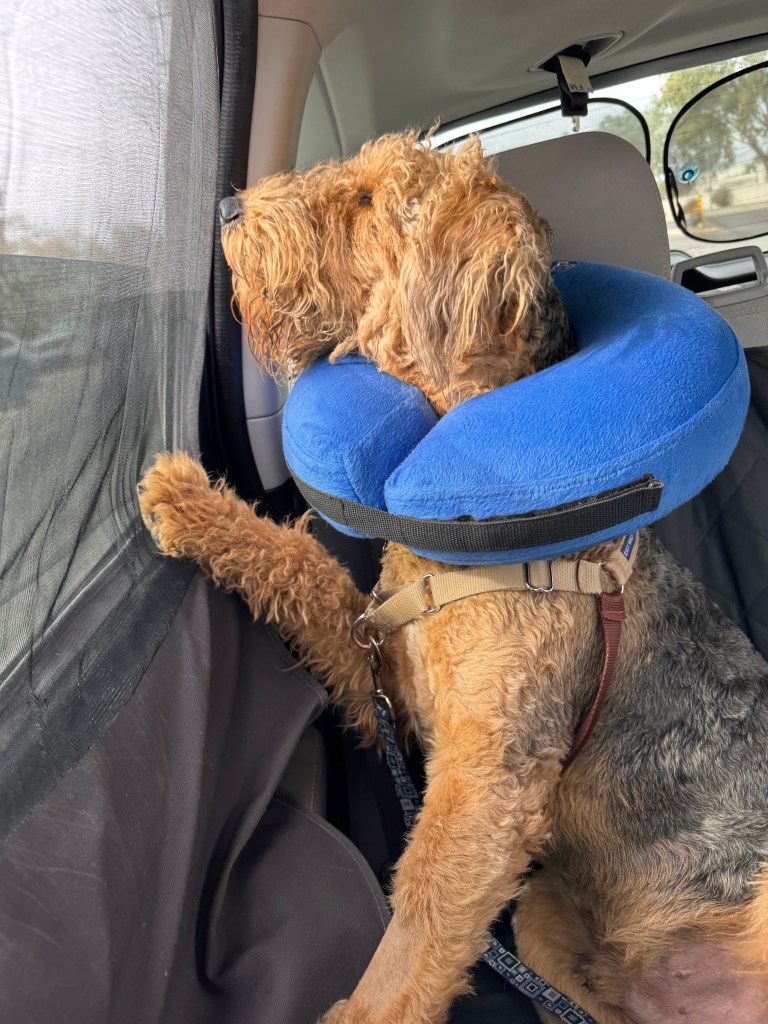
In the meantime, I’ve been reading more locally-themed fare, the best of which has been Linda Ronstadt’s “Feels Like Home.”
Linda is Tucson’s most famous daughter, and her family has lived in the Sonoran desert for generations. Her father and grandfather owned a famous hardware store, and played in local bands for years. The memoir is not about her career, but more about growing up in the area and her memories here, which resonate strongly with my own. It has led me to some amazing discoveries-the recipe for El Minuto’s famous cheese crisp; the history of the neighborhood Barrio Viejo; the Mission Gardens and all manner of other historical tidbits I didn’t know.
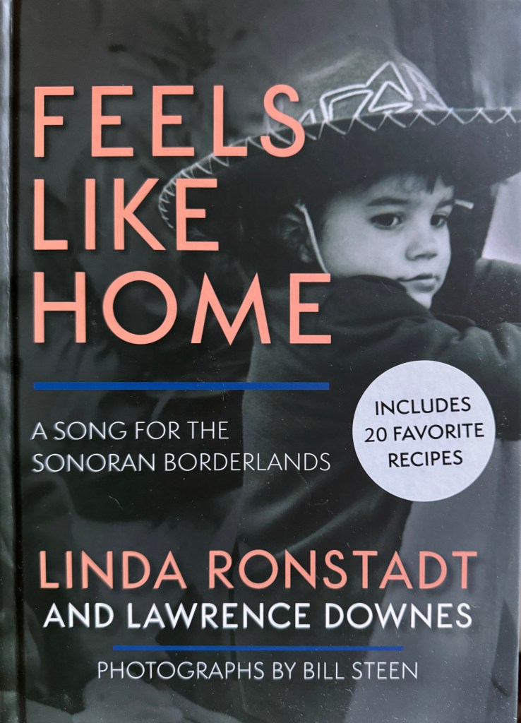
Between bites of cheese crisp, we planned a visit to the Mission Gardens.
The Gardens sit at the base of Sentinel Hill at the original site of the mission of San Augustin in the late 1700s. This area on the Santa Cruz floodplain is the longest continually occupied site in the US, with inhabitants preceding the mission for over two thousand years.
The re-created gardens are the only remains of the original mission, and are on oasis in the desert. Organized in plots by archeological period, they re-create what was grown here over the past 4000 years, in the manner the inhabitants actually grew it. Squash, corn and beans in the beginning, and quince, lime, fig and orange trees during the mission days.

Schoolchildren were gathered at the sides of the plots, learning about the agriculture. I eavesdropped-who knew that the cotton plant was related to hibiscus? I wished I could join their tour but they eyed me suspiciously and I slunk off the explore the irrigation canals and Chinese gardens.
Another interesting fact-the Chinese exclusion act of the 1882 forbade immigration of Chinese, and those that were already here had to prove themselves useful or be deported, hence the large number of Chinese grocery stores in Tucson and elsewhere. At one time there were said to be over 90 stores in Barrio Viejo alone, sometimes one on each street corner!
I vividly remember a Chinese grocery just beside my high school downtown in the early 1980s. I often parked in front of it, and occasionally went in for saladitos, a savory treat of dried, salted prunes. Even in the early 1980s it was a relic, with cracked concrete floors and sparsely populated dusty and rusting shelves. It still maintained a devoted following, until it was robbed and one of the owners killed in the process. The store was shuttered and a shrine sprung up at the site. An aura of understandable sadness hung about the place and I parked elsewhere for the remainder of high school, oblivious to the era of Chinese history drawing to a close. It’s now a scrubby dirt lot.
After that explosion of bittersweet memory, I wandered the rest of the gardens in a bit of a funk, thinking of all the peoples who have passed through this area and the ghostly traces they have left on the land. What will things be like in another 200 years? Will there be shrines for Walmart? I think I need to comfort myself with another cheese crisp…
In Coronado’s Footsteps
November 7, 2023
I’ve been reading Southwest-themed fare lately, and one of the most interesting was “The Devil’s Highway,” about 14 Veracruz-born men who perished in the desert of Southern Arizona after their guide, or coyote, became lost. It got me thinking about the many desert crossings that have occurred over time, and all that those who trod this unwelcoming landscape had to endure.
With that in mind, we headed out to the Coronado National Memorial a few miles north of the border, and the site of the first European expedition into these lands.
In the early 1500s, Spain was abuzz with tales of the riches to be found in the New World. The expeditions of Cortez and Pizarro produced great riches for the conquistadors and the Spanish crown, and ignited a treasure-seeking frenzy that would forever change Southwestern culture.
In 1536, four survivors of shipwrecked expedition arrived in Mexico City with scintillating tales of riches in the Southwest: “large cities, with streets lined with goldsmith shops, houses of many stories, and doorways studded with emeralds and turquoise.” And so began the legend of the “Seven Cities of Cibola.”
In the winter of 1540, an expedition of thousands set off from Compostela in what is now northern Mexico and worked it’s way north in search of treasure. They brought with them 1500 horses, which ultimately resulted in the introduction of horses in North America, and a supercilious cruelty that drove the once friendly indigenous peoples they encountered to try and lure them to their deaths with more faux tales of gold. In between, they wandered through much of Arizona and New Mexico, finding mud-walled villages of the Hopi and Zuni and the expanse of the Grand Canyon, leaving horses and bits of Spain in their wake.
Wandering the Visitor’s Center, we marveled at replicas of the chain mail, armor, muskets and lances that the men lugged through the desert heat, and learned just how profoundly the expedition touched the culture of the land and forever changed it.
The Memorial is now a 4,700 acre park threaded with hiking trails through the Huachuca foothills with expansive views of the San Pedro valley where the expedition entered the modern-day Southwest. As we wound up the dirt road to Montezuma Pass, the vastness of the valley spread before us and we could imagine the spectacle of thousands of men marching north with excited anticipation.
The gravel crunched under our feet as we strode the Crest Trail at the top of the pass, the expanses of the San Pedro valley to the east and the San Rafael valley to the west. The wind whispered through the juniper and the trail wound away into the expanse. How many had passed this way, and what stories they must have to tell…

We dodged an occasional wild horse (no doubt the descendants of those first 1500) down the dirt road on the west side the pass, through rolling grassland peppered with oak and juniper. Around a bend a flash of blue heralded Parker Canyon Lake, an oasis surrounded by cottonwoods and sycamore golden with fall. We walked the pups in the yellow light, touched by a gentle breeze.
More arid rolling hills-was the lake just a dream?-and we were in the cowboy town of Sonoita, an offshoot of that first expedition which didn’t find the treasure it sought, but left a more precious, enduring legacy.
All Souls
October 31 & early November
Growing up in Tucson, Halloween was my favorite holiday.
We lived in a palm-lined neighborhood with many kids, and everyone seemed all-in on trick-or-treating.
It got dark around 5:30 and I remember looking out the window watching the other children start cruising the streets and waiting anxiously for my friend Kim to arrive in one of her usual amazing costumes.
We had something of a competition-her parents were very hip and creative and my mom was an amazing seamstress. I will always envy her Sand Person costume during the initial Star Wars furor, complete with glowing red eyes. She has admitted to feeling a guilty pleasure when I ran to the door of a promising home at the beginning of the evening and fell, ripping a brutal hole in my beautiful “I Dream of Genie” costume pants while she looked on in her clown costume.
I won’t be wearing anything ever again that shows my midriff, so “I Dream of Genie” is out, but Halloween in Tucson as an observer is almost as fun.
Mixed with the tradition of “Dia de los Muertos,” it has it’s own unique feel. Creamy orange marigolds pop up in every nursery and front porch, votive candles stand like armies in front of the local shrines, and 20 foot skeletons sit in the beds of pickup trucks.
Our dear friends from Mesa were in town for a few days, and we met them at Home Congress’ “The Cup Cafe,” for a Halloween dinner. The hotel, built in 1919, is the oldest still standing in Tucson, and is said to have haunted rooms. A fire in the 1930s resulted in the capture of Dillinger’s gang at the hotel, and it has been lovingly maintained in the spirit of those times with all it’s many stories captured in photographs lining the walls.
As I become older, it’s tougher to discern who is in costume and who just “is,” but we think our waiter was dressed as a member of the Village People. We enjoyed a lovely dinner catching up on our summer adventures and they had the dubious pleasure of meeting Phinn, who wriggled delightedly in his blended costume of “Wolfman” and “Edward Scissorhands” with his freshly trimmed rapier-like nails.

The next day we took a chance and left both pups at home to visit the Tucson Botanical Gardens to see the “La Calavera Catrina,” a series of statues crafted Ricardo Salter, a Nayarit-born Mexican artist and costume designer. Our friends had recommended the exhibition, which is a series of “Dia de los Muertos” female statues set in perfectly curated (and marigold- bedecked) Spanish garden. It was intimate and beautiful, and capped by a trip through the butterfly garden and a glass of prickly pear iced tea in cool shade.
Dia de los Meurtos or All Souls Day is celebrated in November, just after traditional Halloween, and intended to be a joyful remembrance of loved ones. It is a blend Spanish and Aztec tradition that is unique to Latin America and the American Southwest. Faux skeletons are dressed in vibrant colors and the living paint their faces and dress up with photos of thier loved ones, bringing “ofrendas,” or offerings to honor their dead to shrines scattered about the city.
Tucson has one of the largest parades in the country, with a of procession of circus color winding through the old barrios and culminating in the burning of orfrendas in a large bonfire.
I had ofrendas for my parents, and we were planning on going to the parade, but as usual Phinn had other ideas…
We decided this year to celebrate the living pups this year, and drove by the parade route instead. Beautifully-costumed Tucsonans gathered in the gloaming alit with candles, regaled by the barking of our little- too-lively pup.
A most perfect All Souls…
Tumacacori
October 30, 2023
It’s been a minute.
Our days have settled into an uneasy rhythm dictated by Phinn’s attention span, which has made for a choppy Tucson experience and an expedited appointment for neutering.
Unseasonable high temperatures have continued, confining our crazy puppy to the small condo or the Subaru during the heat of the day, which hasn’t helped. A post-retirement fortune has been spent on calming collars, gentle leaders and no-pull harnesses, all of which have made a marginal difference. He has been to one puppy class thus far, where he took the liberty of urinating on the wall of the training studio…
Phoebe has not been without issues of her own, hopping around holding up her front paw and not letting us touch it, resulting in a trip to urgent care where she underwent surgery to remove a cactus barb that resulted in an abscess that is now in Airedale lore as “The Thousand Dollar Thorn.” This has done nothing to dissuade Erich’s perception that the desert is evil.
Despite pup challenges, we have had some lovely day trips and experiences.
South of Tucson, midway to the Mexican border, sits the old mission of Tumacacori. Established in the late 1500s by the Jesuits with the intent of spreading the faith in the New World, it was a self-contained community with orchards, fields, kitchens and, of course, church, surrounded by walls to thwart the raiding Apaches. It sits on the northern migration route of the Monarch butterfly, and we were greeted by a kaleidoscope of yellow, orange and black as we approached the entrance.
We wandered the old Spanish garden to the tinkling of the fountain, and meandered through the orchard and down the De Anza trail, which took the first group of Spanish northwest to establish San Francisco in 1775.
Adobe store rooms and the graveyard with it’s mortuary chapel still stand, bearing witness to lives passed here long ago.
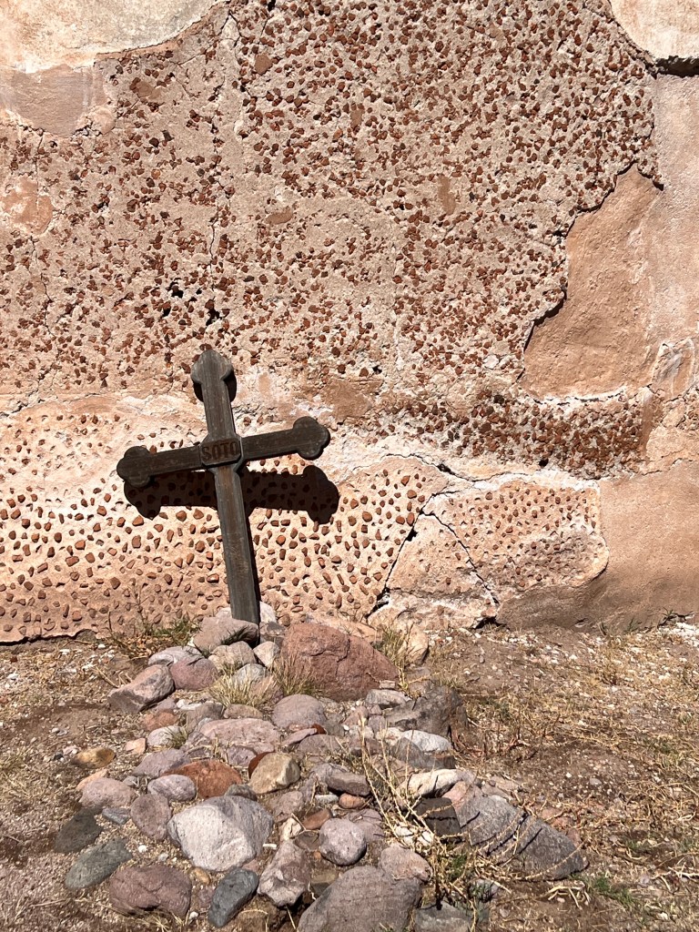
A gravel path leads into the sacristy, where 1800s-era graffiti on the walls attests to the prospectors and cowboys who used this area as a shelter after it was abandoned in 1848.
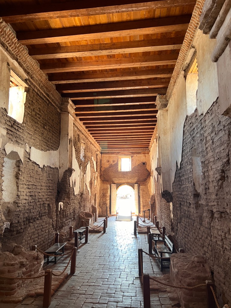
The interior of the church still has a calming effect despite it’s ruinous state, and one can imagine the solace it brought to those on this remote scrap of land surrounded by hostile Apache.
A handprint high on a wall bears witness to a long-gone worked who slipped while plastering, his trowel-mark deep just beside it. Services are still occasionally held here, in the glow of luminaria, though the exact times seem shrouded in secrecy. Maybe it’s better that way, as the descendants of the original mission still live on these same lands and it seems fitting that they have the place to themselves.

On our way back to Tucson, we stopped for lunch in the artist’s community of Tubac and ate Mexican food al fresco while the dogs watched every morsel that went into our mouths from their perch in the car, parked close in the shade. We saved some cheese crisp for them, though I tremble to think what havoc this will cause at Phinn’s second training session today…
Color & Bygone Days
Friday, October 20 & Saturday, October 21
The forecast for Tucson is still in the low 100s through Sunday, and we decide that we would rather stay a bit longer and check out Meteor Crater and Petrified Forest National Park. Have I mentioned how much I love the flexibility of retirement?
With the help of Bring Fido, we booked a Motel 6 in Winslow and headed east.
Arriving at Meteor Crater, we discovered no dogs were allowed anywhere, and they had to be placed in an outdoor kennel. It was still pretty warm, in the high 80s, and thinking about leaving them outside under a corrugated tin roof gave us pause. We decided to save this experience for a time when we could board them elsewhere, and continued on to The Petrified Forest.
Turning off at Holbrook, a once flourishing town when Route 66 passed through, we navigated the old, mostly boarded-up motels along Navajo Drive and made our way to the Park’s southern entrance.
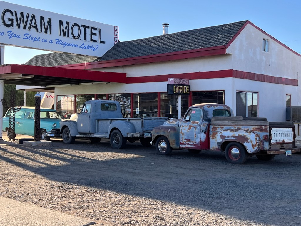
A more bleak landscape can hardly be imagined. Bald mesas and rolling, hardscrabble valleys criss-crossed by numerous dry creek beds stretched to the horizon. In pre-historic times, a tropical forest grew here and the trees that fell in the rivers didn’t decay, but instead absorbed myriad minerals and crystalized into colorful skeletons.

The beauty is rainbow-hued and close up here, and it’s necessary to walk the trails to take it in.
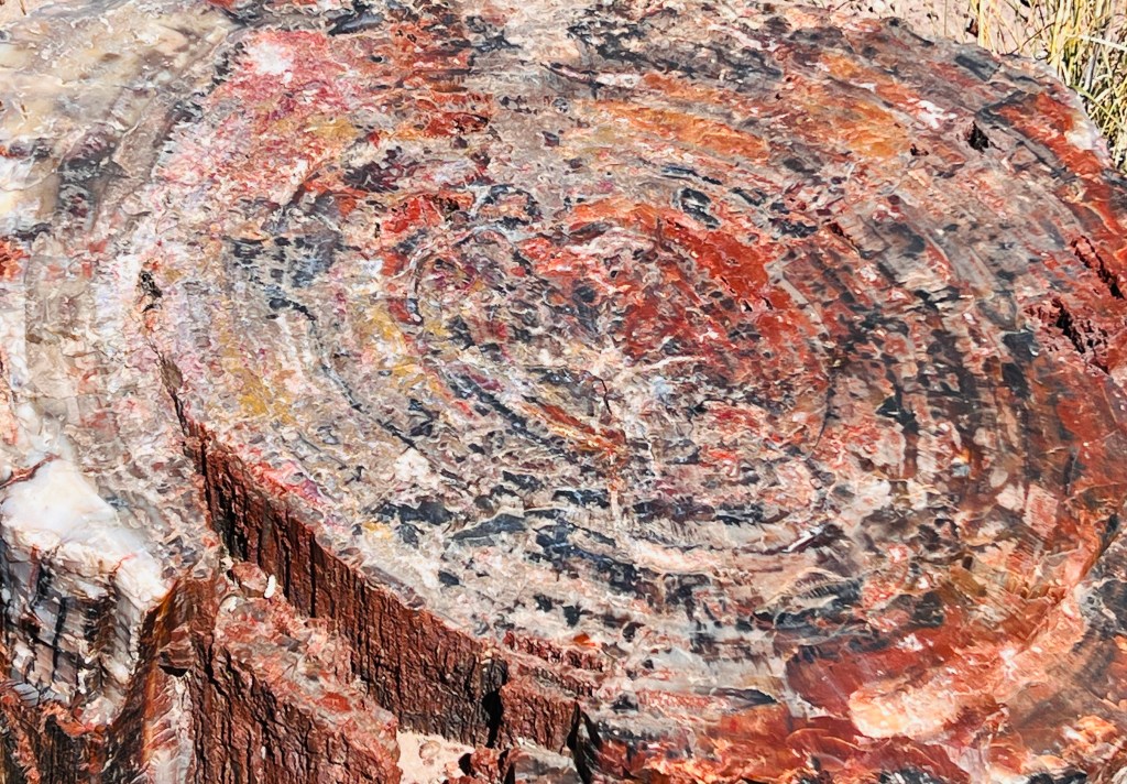
Dogs are allowed on all trails here, but those that we saw as we took turns exploring looked like they were suffering in the scorching sun. So, we alternated exploring and Phoebe and Phinn relaxed in air conditioned comfort.
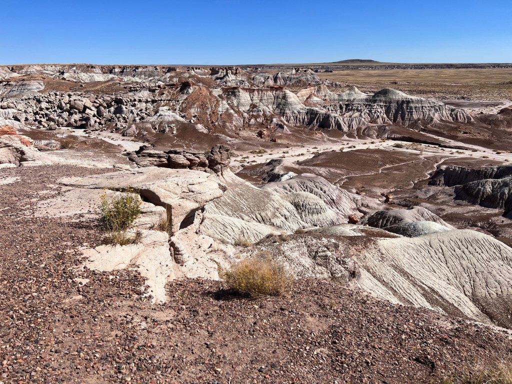
As we made our way north, the land became more interesting as the minerals that lent their color to the wood striped the hills and mesas. This area is Arizona’s Badlands, and one could imagine it would be quite dramatic under storm-laden skies.

Under the broiling mid-day sun of a crystal clear sky, it seemed forbidding and we wondered who could have lived here and left the copious petroglyphs of Newspaper Rock.
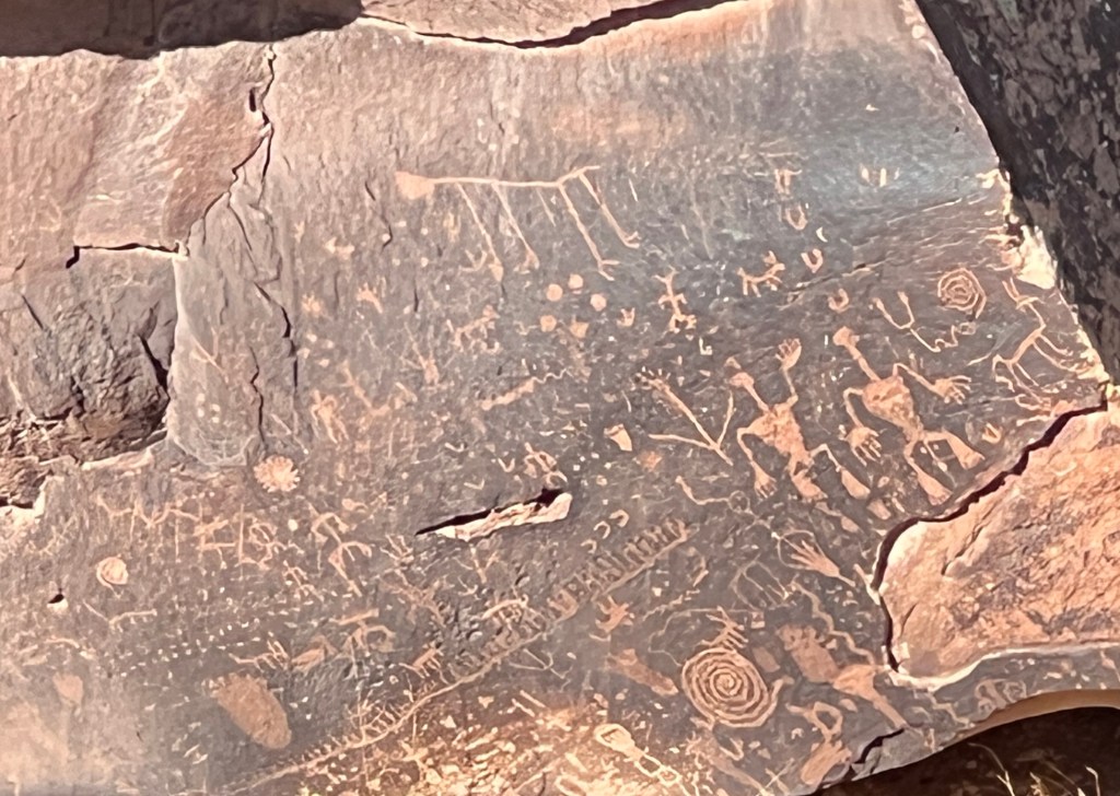
Father north still, the Painted Desert came into view with it’s multilayer hues of pastel pinks. Route 66 cut through here as well, and the gorgeous Painted Desert Inn was once a posh stop along the way. Initially build in the 1920s, partially of petrified wood, it was taken over by Fred Harvey and redesigned by the amazing Mary Colter to meld perfectly with it’s surroundings.
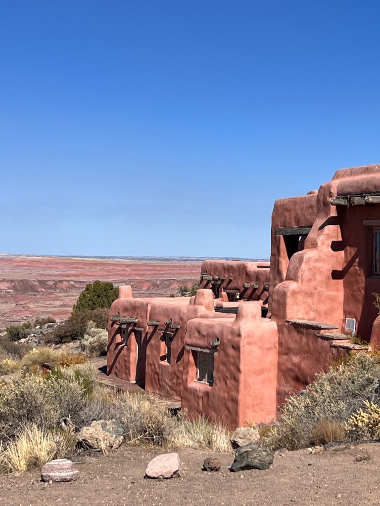
Now a national historical landmark administered by the NPS, it’s pink adobe walls melt into the background Painted Desert and it’s original murals, depicting local native rituals, give it a sense of place typical of all of Mary Colter’s jewels.
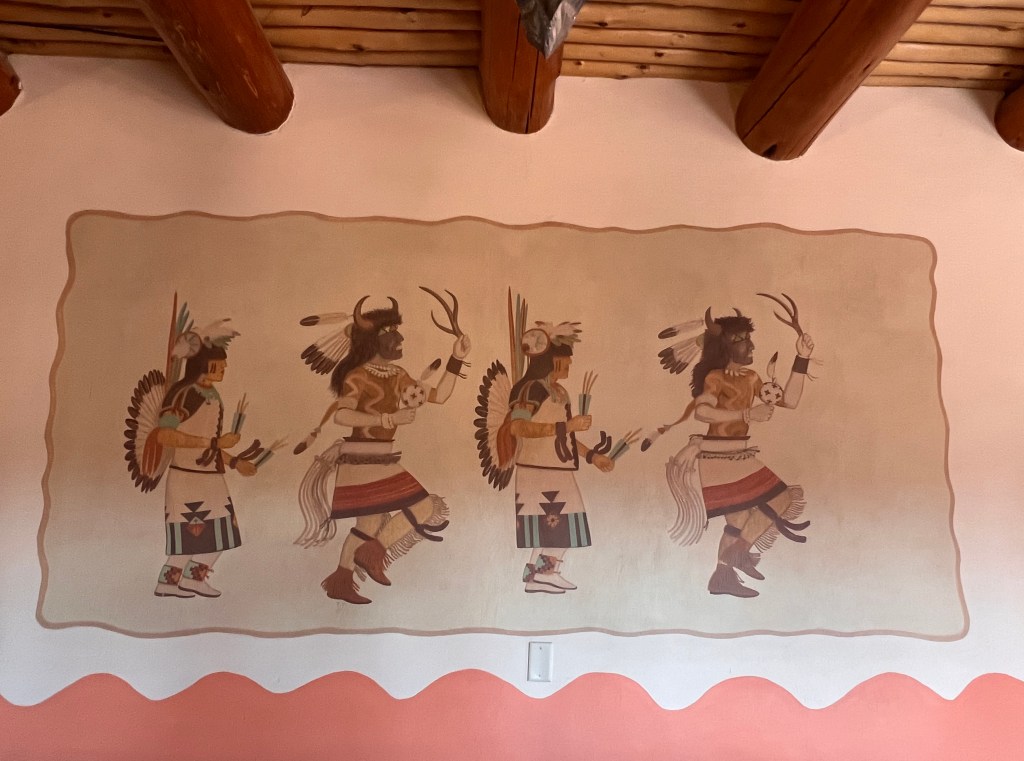
We ate ice cream on the patio overlooking the Painted Desert, and sitting in the shade with a light breeze blowing, we imagined this would have been a very peaceful and memorable stop on Route 66.
After checking in at our not-so-memorable Motel 6 in Winslow, we set out to explore the town.
Another step along Route 66, Winslow was, and is, also a railroad town. The railroad comes through the center of old town, and beside it sits another Mary Colter creation, La Posada.
In another time when the railroad was the main means of transport in the Southwest, Fred Harvey set out to create beautiful spaces for tourists to stop on their trips and experience the country. He hired designer Mary Colter to bring his dream to life, and scattered across the Southwest were beautiful hotels next to the railroad tracks.
The Gand Canyon has the majority of the remaining structures, but La Posada is one of the few others still left. It, too, was slated for demolition but saved by a husband and wife who appreciated it’s beauty and restored it to it’s former glory. It is now a tourist attraction unto itself, and I would have loved to stay there, though doubt the art would survive Phinn.
A hacienda-style building surrounded by shaded patios and lit with lanterns panted with Mimbres pottery motifs, it’s my version of heaven. Interior corridors with high viga cellings and terra cotta-tiled floors are lined with native art, and comfy chairs beckon one to sit and read.
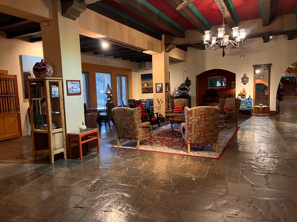
The train passed as I wandered, just outside one of the courtyards with a platform for guests to disembark, though there were no takers this morning.
A gift shop and library offer carefully curated treasures akin to an old trading post, and I passed a woman looking for a room rumored to hold the largest existing Navajo rug. This is indeed a place for southwestern magic and mystery, and we will be back one day sans hounds.
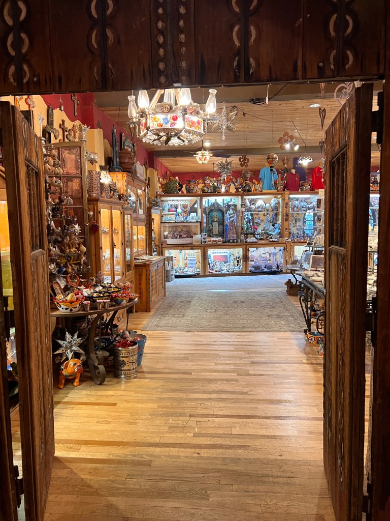
Just across the street is the famed “Standing on the Corner,” commemorating the Eagles’ immortal lyric in “Take It Easy.” A permanent flatbed Ford is parked nearby and with that and La Posada you could be nowhere else on earth…A true sense of place.
As we wound our way off the Mogollon Rim through Salt River Canyon homeward, we were almost glad for the unusual heat that spawned this journey to the layers of the past.
Volcanos & Ancient Voices
Wednesday, October 18 & Thursday, October 19
A lone hawk carves circles on an updraft above the ruins of Lomaki, the red of it’s tail reflected in the colors of the walls below. It’s nearing sunset, and I’m walking alone on a sandy path in Wupatki National Monument. The junipers cast long shadows across the trail, and a tarantula quickly dances across a sunlit patch and disappears into the scrub. The T-shaped doorways of the ruin beckon, and I feel very lucky to be in this place at this time.
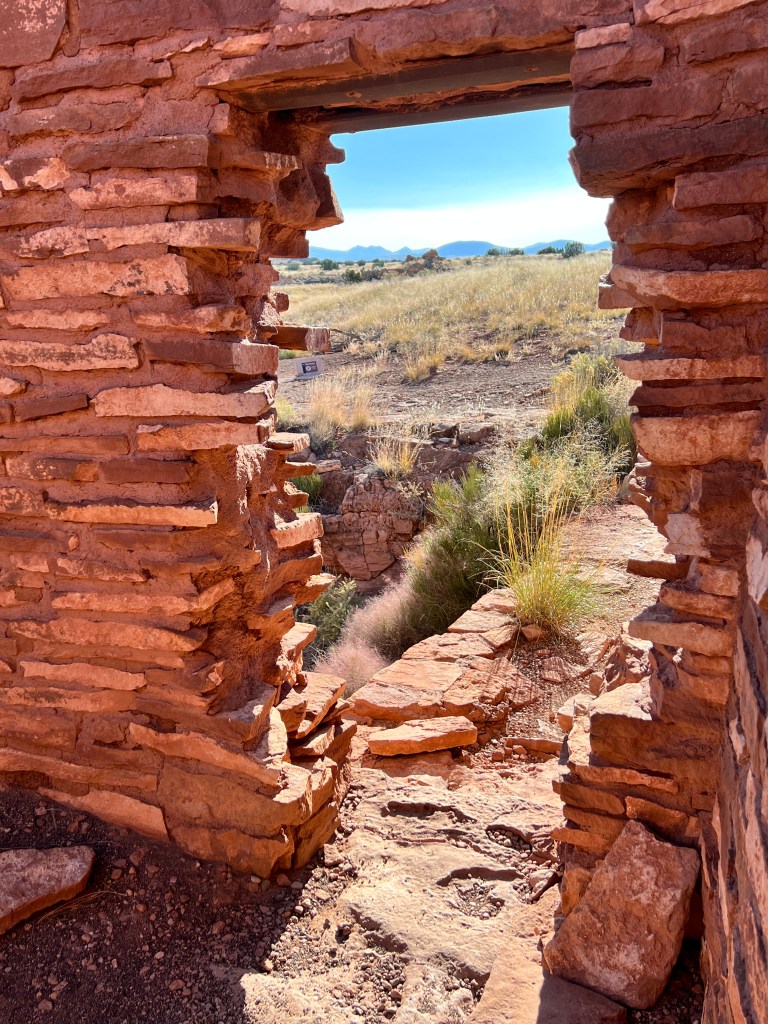
Tucson is in the grip of a heat wave, with records falling almost daily. It was 101 when we left, heading north to Flagstaff to escape the weather.
It’s been years since I’ve been to this part of Arizona, and I was looking forward to visiting Sunset Crater and seeing the aspen changing on the San Francisco peaks, not to mention the 70 degree temperatures.
Flagstaff sits at 7,000 feet in the midst of the largest contiguous Ponderosa pine forest on earth. The trees stand regularly spaced and straight as sentinels. Repeated fires have burned away much of the brush on the forest floor, exaggerating their height and legginess so they appear like giant hairs sprouting from a golden scalp.
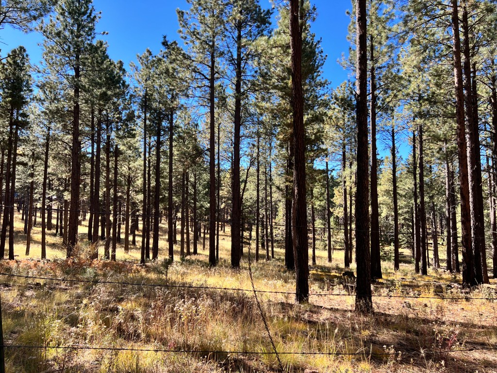
The peaks are as I remembered them-a trio of 12,000 foot mountains rising out of the forest, flanks laced with the glowing yellow of fall aspen.
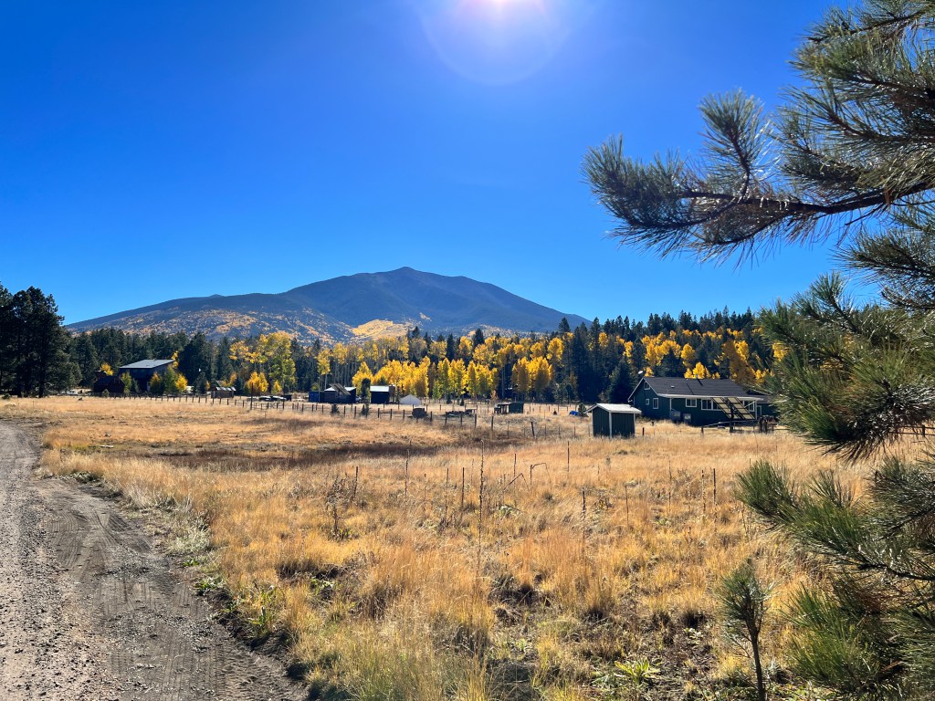
Unable to check in to our cabin until 4 pm, we headed straight for Sunset Crater, which I recalled as an actual meteor crater. As it turns out, I was confusing this with Meteor Crater farther to the east-Sunset Crater is actually a cinder cone borne of volcanic activity in 1064 AD.

Subsequent episodic lava flows, the last 900 years ago, have left a trail of cinder cones and spiky A’a lava fields that extend east along a fault line to the Painted Desert. The contrast of the fields of black cinder with the magenta and yellows of the late-blooming flowers is nature’s minimalist art.
The eruptions also blanketed the surrounding area with ash, which proved to be a very effective mulch and drew groups of Puebloan farmers to the grassy plains just west of the Painted Desert around 1200 AD.
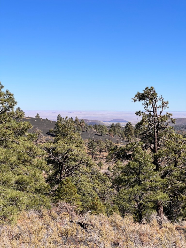
This is the region now contained in Wupatki National Monument, where the density of ruins is estimated to be 100 sites per square mile. Who these people were continues to confound archaeologists and confuse the heck out of me as well. Called alternatively Ancient Puebloan, Anasazi, Sinaguan and Salado in the different sources I’ve read, what seems to be consistent is that they were an agrarian society that practiced dry farming in an incredibly dry land, and are ancestors of modern-day Zuni and Hopi. Catching rainwater in ceramic ollas as it cascaded into the shallow canyons, and setting up water dams to irrigate crops, they managed not merely to exist, but thrive, in a harsh land.
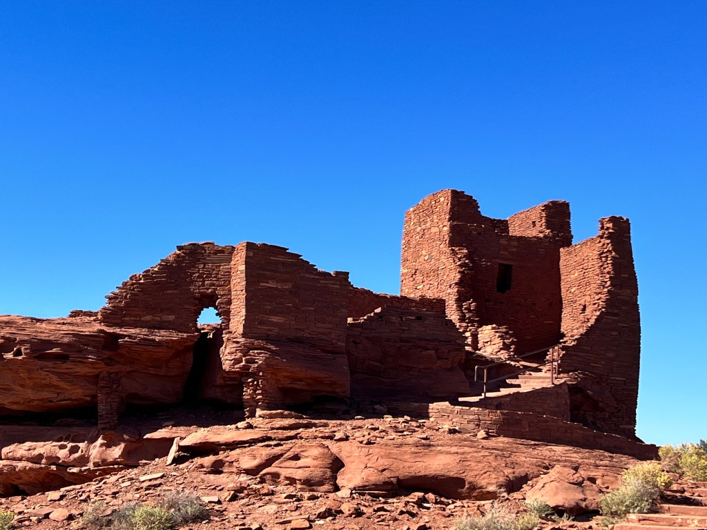
There are distinct influences from the places we have seen earlier -the meticulous stone construction of Chaco Canyon; the T-shaped doorways of Mesa Verde and from farther afield in Mexico ball courts reminiscent of ancient Mesoamerica. Tropical feathers, copper bells and shells have been found here suggesting a vast trading network, and it occurs to me that it’s had to pigeonhole ancient peoples based on location alone, when it appears the entire Southwest and Mexico was a melting pot of trade and culture.
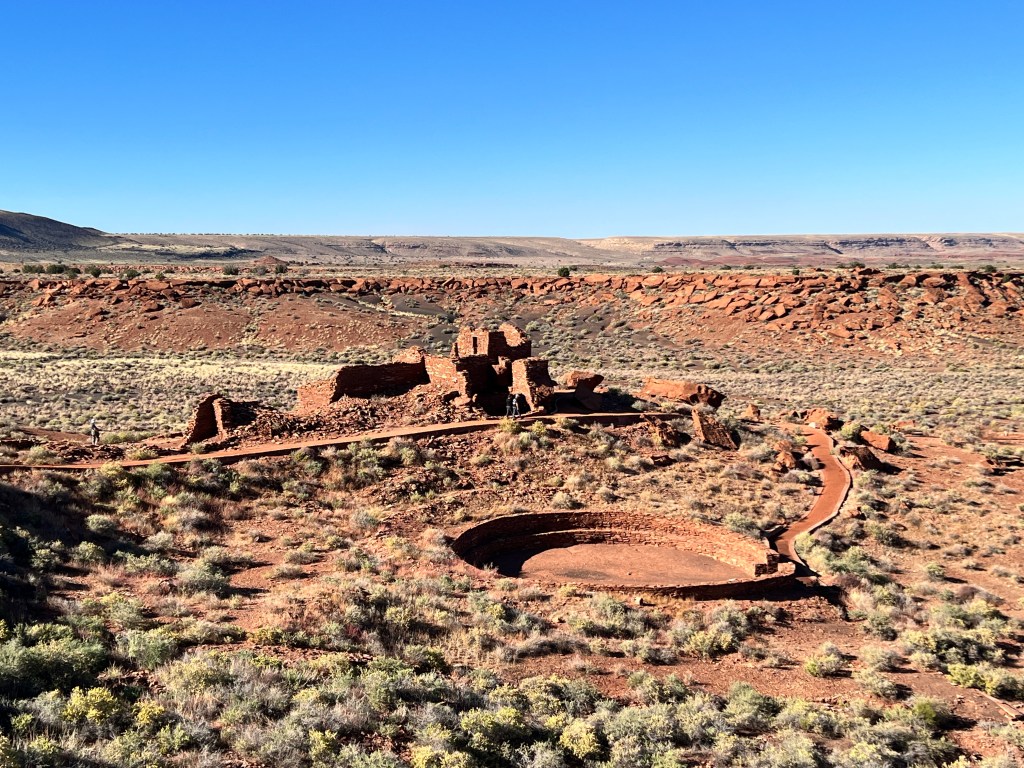
I climb the steep ochre path to the ruins, overlooking the surrounding plains and imagine these ancient peoples looking out at the same expansive view. I tuck through the doorway in Lomaki, and feel the safety of these walls rising out of the canyon rim much as those who built them probably did. I walk back to the car through the web of canyons, each lined with ruins of homes, and imagine I’m on my way, with all my neighbors, to the ceremonial center in the middle of the park for the rites to summon the rain that sustains us.
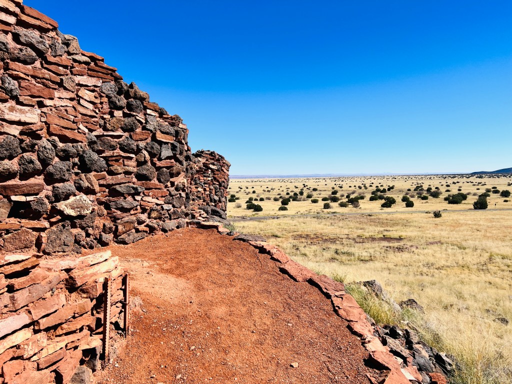
As I exercise the dogs later along the park’s deserted two-lane main street, black on white potshards typical of the Colorado Plateau are mixed with broken tail lights at the roadside, a perfect metaphor for the continuing churn of humanity.
Desert Doldrums
Thursday, October 12
Our timing was off this year, or rather we forgot to adjust our seasonal clocks for the effects of global warming.
October in Tucson is typically beautiful-long, sunny days with temperatures in the low to mid 80s. This year’s summer, as reported by our mailman Mica, was awful. Hotter than ever without much of a monsoon to cool things off, and he would know, walking around every degree of it.
The heat has lingered into October, and the days have all been near 100. This has left man and beast peevish and adopting Latin-style siestas during the heat of the day. We’re up and around in the mornings and evenings, accomplishing errands and still trying to cull a generation’s worth of Ince artifacts from the flotsam packed into the condo.
Yesterday we took a break and went for an air conditioned drive in the desert. Erich, having repressed our Moab off-road experiences, let me choose an “easy” off road trail in Mammoth, a dot on the map north of Tucson in the San Pedro River Valley.
We found the trail easily, but quickly discovered that the lack of a monsoon season translated into thick sand and all manner of overgrowth in the washes, and as this was a wash-bottom drive in the boondocks, we worried about getting stuck in the sand. Turning around, we discovered a better graded dirt road, the Camino Rio, that ran alongside the river near an abandoned railroad.

The first few miles took us through rolling desert, weaving around old railroad trestles and overlooking the surprisingly green San Pedro Valley in the distance.
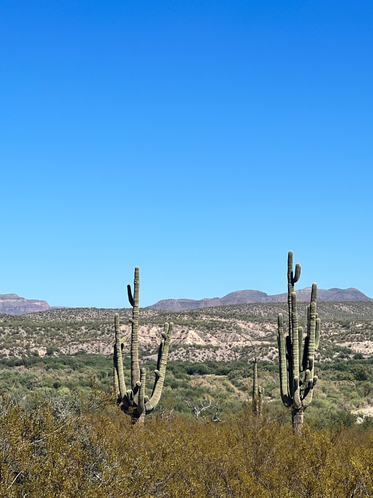
Saguaros with more arms than we had ever seen dotted the hillsides, and got us wondering about these unusual cacti. Growing slowly under the shade of nurse trees, typically Palo Verdes or Mesquites, they grow only 1 inch in the first eight years if their lives. If they survive, their growth increases as they steal the available water from their nurse tree, often killing them. By the age of 50-70 they grow their first arms, and the more arms they have the greater their reproductive ability, as flowers develop on the ends of the arms in the spring. The record number of arms, according to Siri, is 75. We didn’t count the ones we saw, but they could have been contenders…
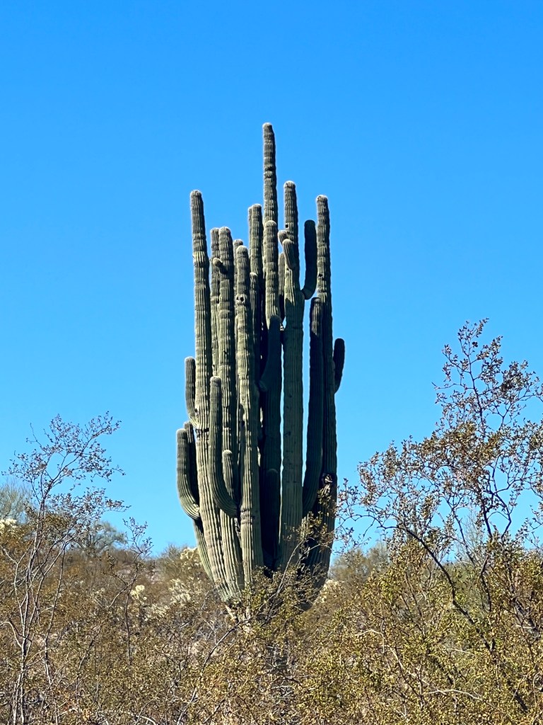
Farther along, a lonely hiker walked the side of the road, covered completely in protective clothing. We glanced at the car thermometer-99 degrees-and wondered about his sanity.
Turning a bend, a well-fed black cow stood in the middle of the road. The dogs barked madly, but the cow was unimpressed, moving slowly off the road with a bored look. Around the next bend, we wondered about the sanity of the cow, as we came upon three of his fellow creatures dead alongside the road. Two were only skins and scattered, bleached bones, but the third exploded in a wake of vultures and a nauseating smell of death. We hurried by, wondering what happened to these animals on this hillside overlooking their fellows grazing a green field on the valley floor below.
The thermometer hit 100 degrees and Phinn began to whine. We found some shade under a railroad trestle and let the pups out while we checked our maps. Neither of us wanted to pass the cow carnage again and on paper, there was a cut-off to Dudleyville ahead that would take us back to the main road.
Driving the route we outlined, the road became less and less sure. Branches crowded in on all sides, whacking at Junior’s sides and scratching sickeningly on the roof. We came to a standstill in a grove of gnarled old mesquite trees beside another immobile cow, who watched us neutrally as we turned around. We said a prayer for it as we quickly passed the carcass on our way our, heading home to our daily siesta in the white heat of the day.
Winter Home
Sunday, October 1
The cool of last night’s thunderstorm hung about in the morning as we walked the pups pre-homeward push. A beautiful sunrise reflected fuchsia in surprisingly large Elephant Butte Lake as we made our way south en route to the Hatch Cutoff that would take us to I-10, and the final stretch of this journey.
We’re veterans of this route, as driving from Denver to Tucson was a twice yearly affair when my parents were alive and Hatch was usually a place to stop and stock up on chili and salsa. On this early Sunday morning the ristras were still there, hanging lush and crimson in the sunlight, but all the shops were closed. Maybe on our return trip to recover Boo…
We crossed the border into Arizona in a vast, parched valley where dust devils swirled in the distance and I’m sure a bleached cow skull sat somewhere, as if ever there was a place for it, this was it.
As we approached our old haunts of Fort Bowie National Monument and the Chiricahua mountains, Phoebe came alive, nose out the window and twitching. Phinn seemed confused, and we had the first belly laugh of the day as we exited to Tucson and he saw his first saguaro, barking at it furiously. Can’t wait for the real introduction!
The condo was in much better shape than we left it, as we had the ugly asbestos popcorn ceiling removed and the place repainted and re-floored over the summer. Leadfoot still thundered overhead, but he told us he quit smoking so that’s a win for sitting outdoors.
Bougainvellia and oleander bloomed vividly in the garden and the bees were drunk on pollen, moving slowly and heavily in the sunshine. A light breeze played with the wind chimes as I cleaned out the fountain and deployed the cushions on the outdoor furniture.
Phinn was on good behavior, and Phoebe seemed almost giddy to be back, jumping and bucking in anticipation of her first walk around the park. Erich was online checking the rattlesnake activity report, and all was as it should be on our return to our lovely winter home.
Boo Boo
Saturday, September 30
Awakening in a lavender sunrise, we took our time packing up, neither of us anxious to brave the terrible road out of Chaco Canyon. I wandered the cliff trail at our campground, coffee in hand, until two small children yelled from their campsite that the trail was closed and chased me off. I didn’t believe them, but they turned out to be right, as falling rock has damaged some of the structures.
We did our pre-departure check on Boo, stowed anything that could fall on the floor, and left our site feeling we were prepared. About 100 yards out, still in the campground, Boo screamed a nasty, grating scream and we stopped, eyed by all the other campers who, if not yet awake, were awoken by our din.
Further experimentation and noise localized the problem to our right wheel, and we pulled off into the dump station to regroup. I approached the campground host, who told us to move on to the visitor’s center parking lot 2 miles down the road and added helpfully that it would cost thousands to tow a vehicle out of Chaco Canyon and no one would be available on the weekend in any case. And the park was due to shut down October 1 due to the budget impasse in Congress, so we would have to be out. Great.
Our wheel hub was extremely hot to the touch and we worried we would catch fire driving to the Visitor’s Center, but it was clear we couldn’t stay where we were. We came up with a fire plan and drove the route as slowly as possible with a fire extinguisher in hand.
My hero, Erich, removed the wheel in the parking lot while I waited for the center to open and queried the others likewise waiting about the problem. Turns out one had some mechanical knowledge and said it sounded like a seized brake, advising us to remove the drum and the springs and shoes, then drive out without the brake. Our ranger from the prior night’s program came to help, as did one of our camping neighbors. Erich had already figured out the problem-one of the brake springs had fractured, deploying the shoes and locking the brake.
All three guys worked to remove the red hot brake drum, which was fused to the brake shoes, and finally after much pounding with a mallet and prying with a crowbar, they resorted to removing the spindle bolt to get it off. Cobbling everything back together without the problematic brake shoes, we limped out of the park, nervously eyeing the wheel for wobbling.
The nearest NuCamp dealer was in Albuquerque, 130 miles south. Battling very intermittent cell phone service, I was able to reach my other hero, Jeremy, who stayed late on a weekend awaiting our arrival and took Boo into his tender care. We’ll be returning to Albuquerque in early November to pick her up and take the opportunity to explore Santa Fe and Taos again.
So, overloaded in Junior with both dogs and all our gear from Boo, we searched for a dog-friendly motel between Albuquerque and Tucson. Now we’re encamped in our small but cozy room in Truth or Consequences while a thunderstorm rages outside, feeling grateful that our issue was resolved as easily as its was and grateful for the kindness of strangers.
Chaco Canyon
Friday, September 29
Mesa Verde has become of my favorite parks, and not just because of the incredible history and tours. If you camp here, you get unlimited free hot showers and a very reasonably priced all-you-can-eat pancake breakfast. No small thing when you’ve been on the road for 2 weeks!
After partaking of the breakfast for the second day in a row, we each took long, hot showers and left the park feeling as spiffy as the huge, gleaming wild turkeys we passed on the way out.
From high desert of juniper and pinyon pine, we descended into the Mancos Valley of rolling flaxen hills and ponderosa pine. Ranching is king here, and horses and cattle browsed lazily in the meadows. We took a right turn at Hesperus, and headed south to New Mexico and Chaco Canyon.
The road was a two lane affair, not well-traveled, and took us through some small communities that had seen better days. We emerged on the Navajo Reservation, and the land became arid and flat, with just the haze of mesas on the horizon. There were two trading posts marked on our map, and I love going to these, but one was just an empty pullout and the other was closed, with only an ill-tempered dog on site.
We turned off at road 7900 that winds through the desert scrub 30 miles to Chaco Canyon. When we had been here 20 years ago, the road was unpaved and some of the worst washboard we had seen, so we were delighted that it was now paved…until it wasn’t. First it turned to the washboard we remembered after 5 miles, and then, 20 miles in beside a bizarre religious revival tent set up next to a lonely hogan, it became so rough, with dips, rocks and washed out road, that we questioned whether we were on the correct road.
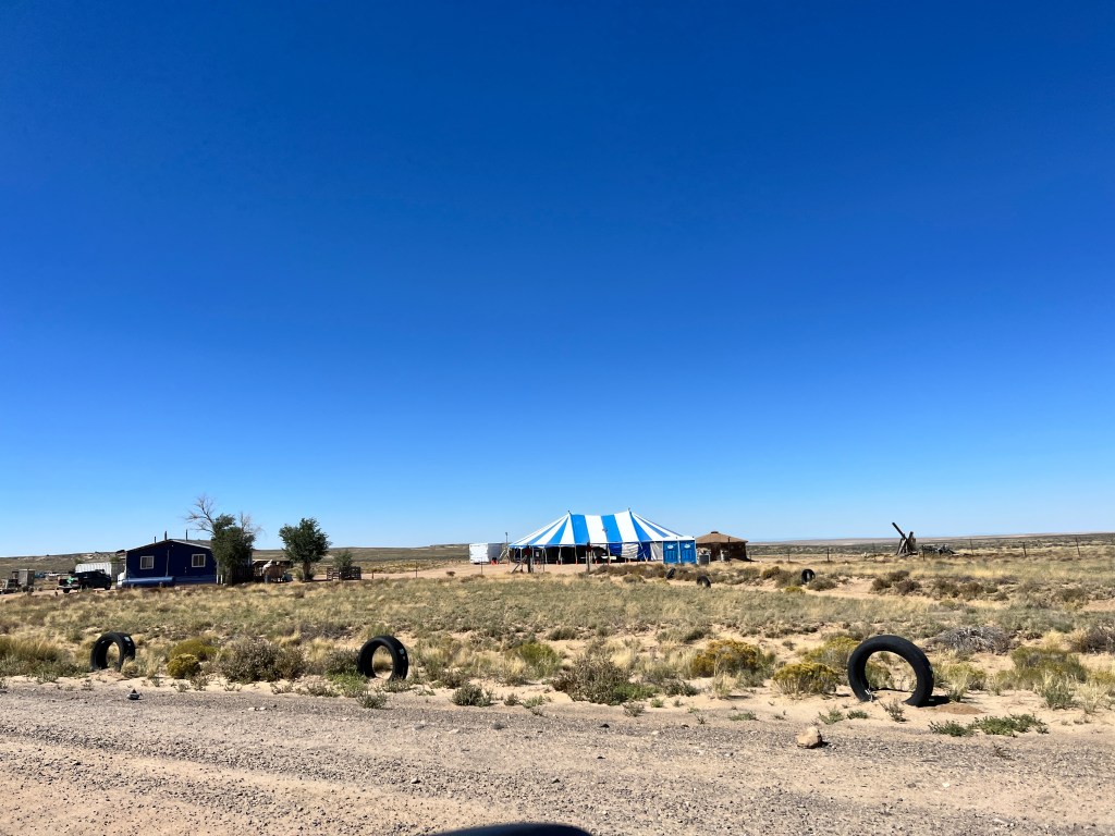
Signs assured us that we were, but it was slow going over more extreme terrain than we had seen even in Alaska, and Boo took a beating. We had just decided to turn around when the pavement appeared again, and we had reached the park. Boo was making some unpleasant sounds, but seemed to survive intact otherwise. We set up at our campsite with a view of the ruins of a small alcove village that supported the larger Chaco community and headed off to explore.
Chaco Canyon has long been one of my favorite stops, as your really have to work to get here and that results in very few visitors and very well-preserved ruins. This is quite literally a canyon in the middle of nowhere in the northwestern New Mexican desert, and other than a few dry washes cutting across the canyon, is as desolate as it sounds.
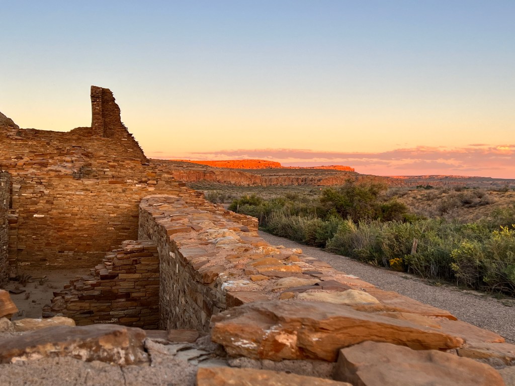
Yet this was the center of the Ancestral Puebloan world from about 800-1200 AD. Great houses of 4 stories with footprints three times that of the White House lie on astronomical grids throughout the canyon and in mathematical relation to one another. 400 miles of roads thirty feet across run in similar grids directing pilgrims (we assume) to the great houses. These roads had to be straight, so if they came to an obstacle, like a mesa, they simply carved steps into the side of it and continued on.
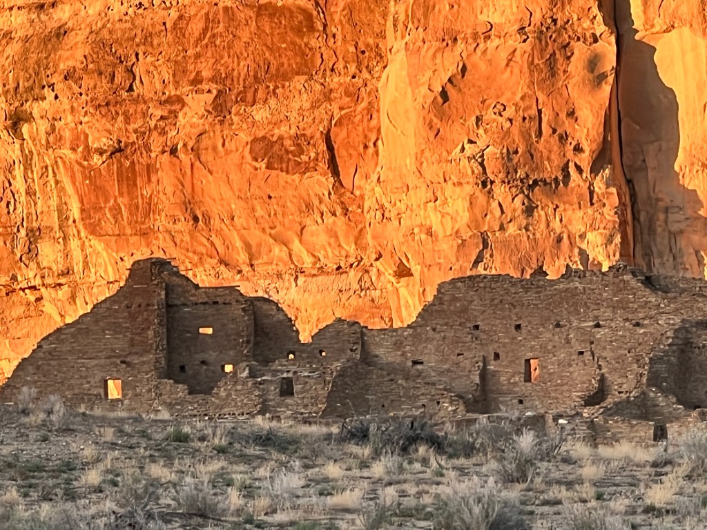
No one really knows what this place meant to the peoples of the time, but the conjecture is that it was a ceremonial center. Troves of ceramics, turquoise, shells and tropical feathers have been found-one burial had over 56,000 pieces of turquoise associated with it! Few people actually lived here, and most of those in the outlying areas like the one where we camped, so the going theory is that people came here from very far away and brought offerings which were then stockpiled here-for what reason, we don’t know.
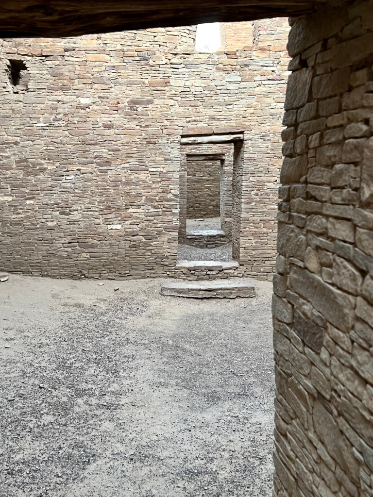
On the solstices, the rising sun casts it’s light just so through the door of the great kiva at Casa Rinconada, and people the world over still come to see this. There are petroglyphs of the supernova of 1054, among others, that suggest this center was very tuned to the astronomical world.
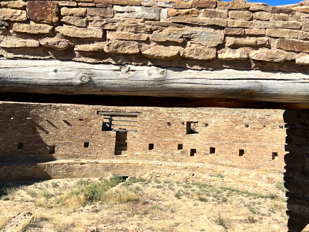
It has a similar focus today as a dark sky site, and we were treated to a ranger program of the genesis of stars and supernovas, followed by a trip to the observatory behind the visitor’s station where we were able to see the rings of Saturn and the craters of the moon. The full moon, so beautiful rising over the canyon and it’s resident elk herd, also served to wash out the milky way and the nebulae that can usually be seen during the program. It was still quite incredible, and we returned to Boo and drifted into deep sleep, awoken only by the sound of hooves on gravel as the moonlit elk passed through our campsite.
Mesa Verde
Wednesday, September 27 & Thursday, September 28
Carlos Nakai’s native flute music plays in my head as I sit in our campsite at Mesa Verde National Park, my mind adrift in history.
We left Ouray on Wednesday morning, and the aspen had just hit their color peak. The drive through Silverton and Durango was gilded, both in present and memory-what a spectacular spot to spend a sun-soaked fall week. We’re already planning our return.
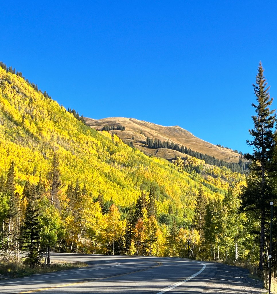
Three hours and a world away, we entered the high desert of the Colorado Plateau. This vast area in the Four Corners region is webbed with canyons of peach sandstone and buff shale, and the site of a vast, antique southwestern Anasazi civilization that simply vanished around 1300 AD. Or so I thought.

We were last here over 20 years ago, accompanied by Brandon and Krissy who were in their early teens and at each other’s throats. I remember the trip vaguely, and mostly for the mystery surrounding a people who built such beautiful, elaborate structures, then just abandoned them.

Well, time changes much. Brandon and Krissy are looking at buying a family compound together, and the name “Anasazi,” has been interpreted to mean “ancient enemy” in Navajo, and is no longer in favor. “Ancestral Puebloans,” is the current moniker for the peoples who occupied this area in 600-1300 AD, and it turns out they didn’t vanish after all, but just migrated south into Arizona and New Mexico and are now the Hopi and Zuni tribes.
That seems more plausible, if less intriguing, than a population that just disappeared, and takes nothing away from the beauty and intricacy of what they left behind.
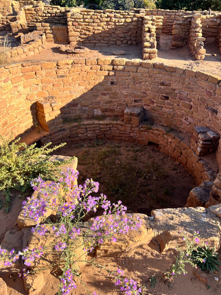
Yesterday, we drove Mesa Loop which overlooks many of the photogenic cliff dwellings, and tells the story writ in stone of the evolution of this culture from living in pit houses of earth and juniper on the mesa tops in 600 AD, to villages of hewn sandstone, kivas and towers along the mesa’s edge in 800-1000 AD, and finally the gorgeous cliff dwellings tucked into the alcoves for which the area is famous in 1100-1200 AD. The National Park Service has wonderful downloadable guides to the park which help explain the well-marked sites.
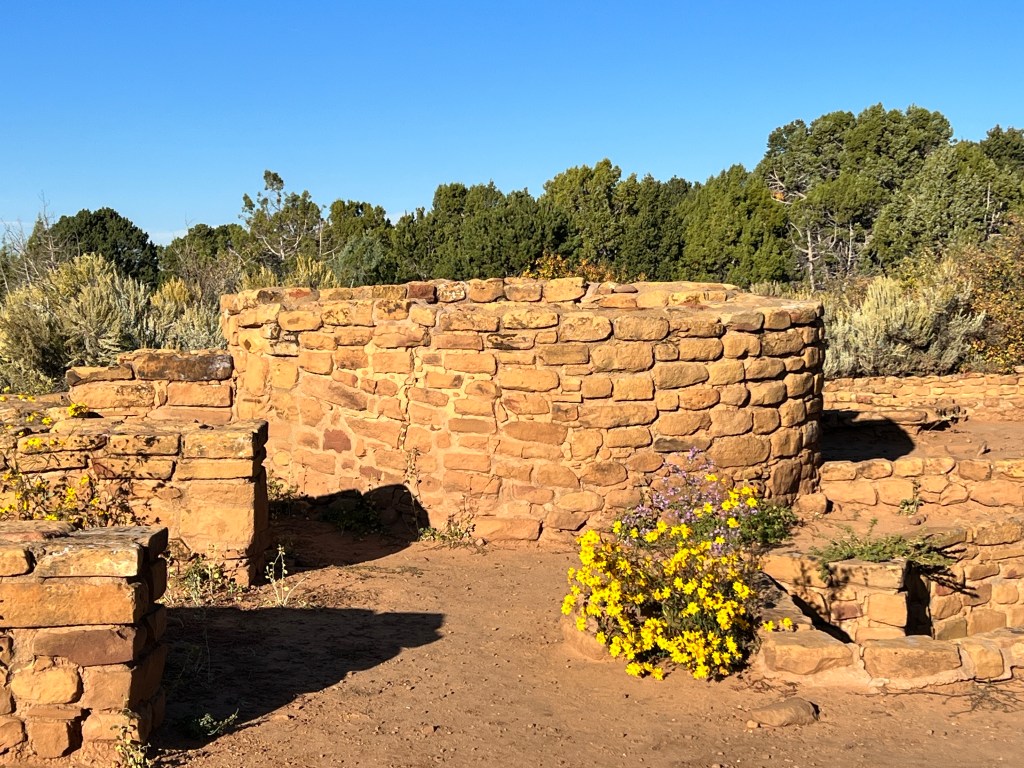
Fall has touched this landscape as well, and between the canyons the rolling hills were covered in a blanket of knobby bushes of mustard, rust and sage. Black-tailed deer watched us from the high grasses, and one well-fed black bear dashed across the road in front of us and disappeared into the color.
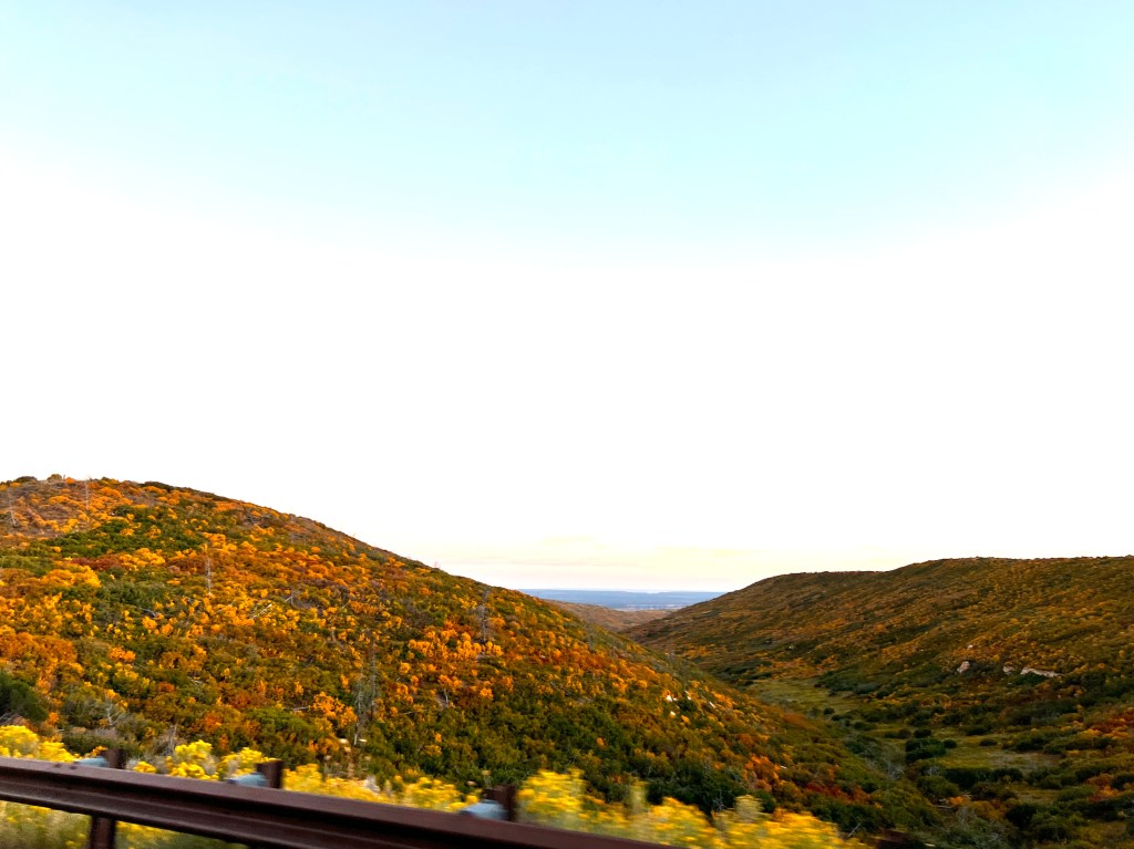
The Park is a dark sky site, and night brought a glittering display, only slightly diminished by the glowing full moon. One could imagine those ancient peoples looking up from their cozy spaces tucked into the cliffs and admiring a very similar display.
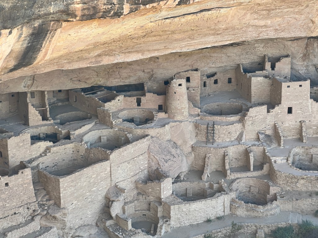
In the morning, we took the pups to the kennel in the campground, as we had signed up for two ranger-led tours of Cliff House and Balcony House. This is the first kennel we’ve seen attached to a National Park, and it’s a wonderful service to those who like to travel with their pups. We worried that a Phinncident checking in might bar us from the place, but he was on perfect behavior. The kennel, however, left much to be desired. It was indoors, which helped with the heat of the day and venomous creatures, but both pups were squeezed into a 6 x 6 foot chain link enclosure and looked at us so sadly as the door closed that we felt awful leaving them.
The tours were worth the guilt. One can climb through the ruins via ladders, peer into the kivas, and admire the brick construction completed with only stone tools and without the benefit of the wheel or beasts of burden to move heavy materials. And all narrated by helpful, friendly rangers. We’re told these tours may be discontinued soon, as the climbing can be strenuous at 7000 feet, and they have medical emergencies every day as people’s excitement overcomes their medical reality. On our tour, a poor fellow tripped over a step and fell headfirst into a wall. Luckily, he had only abrasions and wounded pride…

Our next tour was in the afternoon-Balcony House-and there are disclaimers about fears of heights and small crowded spaces, which in conjunction with the sad looking pups and the injury on tour number one, made Erich decide to bypass the tour in favor of picking up the dogs. They were delighted to see us, and the only description we got from the keeper about Phinn was “bouncy,” so we call that a win!
I dropped the brood at the campsite and headed back for the museum and tour. The museum was a bit of a disappointment, as it is being revamped to agree with the new narrative of the Ancestral Puebloans, and only a few pieces were on display. Beautiful black on grey pottery, jewelry of shells evidencing a broad trading network and a myriad of very rudimentary stone and wood tools comprised the bulk of the exhibits. A panel described how a graduate student tried to build a pit house with the stone implements for his PhD project. It takes about 80 juniper trees to build one pit house, and it took him 800 swings of a stone axe to cut down a small juniper. He abandoned the project, but it certainly gives an appreciation of the work involved!
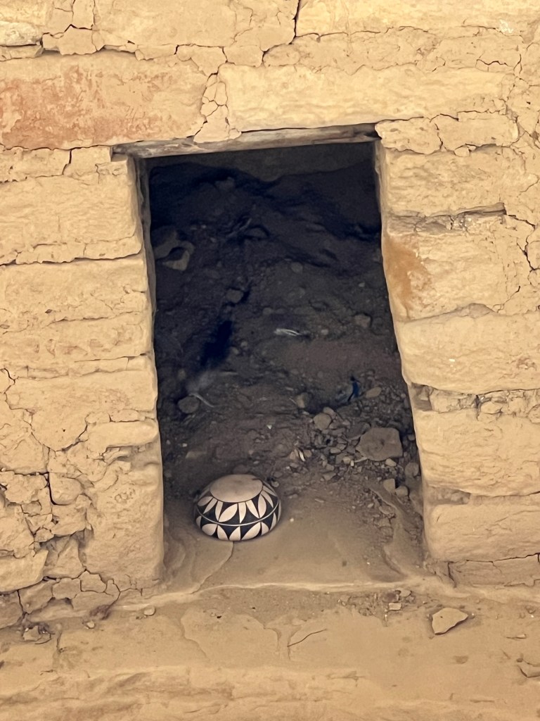
Out at the tour site, the ranger gave us more warnings of the “adventurous” nature if the tour. Feat of heights was the main caution, as last month a tourist who underestimated her fear was stuck on a ledge for 7 hours before finally being removed by helicopter. The path comprises climbing a series of ladders, standing in a small alcove high above the canyon with dizzying drops, squeezing through an 18 inch tunnel, and scaling more ladders and a series of steps carved into a near vertical rock face. The NPS provided a wonderful video so the undecided an see what they are in for, and it does a better job than I ever could describing the experience:
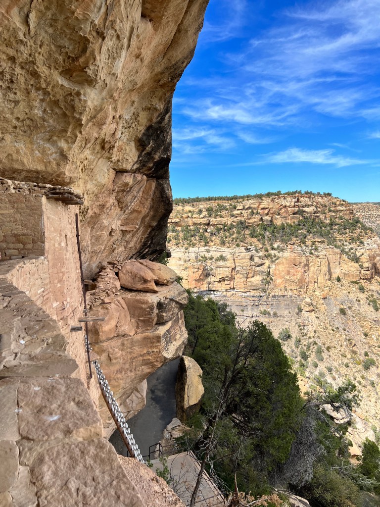
My main concern was getting stuck in the 18 inch tunnel, but reassured by the ranger that she brought olive oil for that purpose, I went ahead and was glad I did. The views were spectacular, and the small, intimate nature of the dwelling really gave a feel for how families would have lived in these spaces. It felt very warm and welcoming, and as the huge harvest moon rose over the park that evening, I imagined the warm glow of fires from the doors of Balcony House, the sound of laughter echoing off the canyon walls, and the light of the moon over the crops of squash, beans and corn on the mesa above.
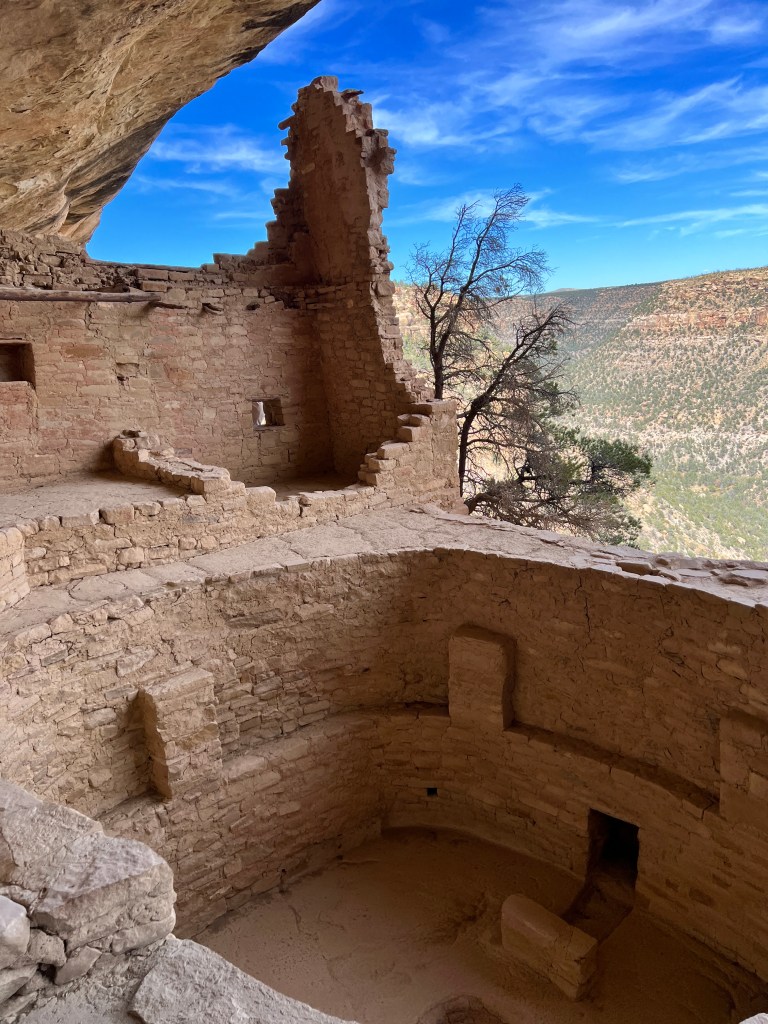
Beauty and the Beast
Monday, September 25 & Tuesday, September 26
Perhaps it’s the altitude, perhaps the stunning vistas around every corner, but I find myself getting lazy and perhaps a bit overwhelmed. I’m re-reading “Desert Solitaire” on the heels of out Moab trip, and Abby captures my feelings exactly when he describes trying to catch the beauty of the desert in words as akin to using a net to scoop up the oceans…
Yesterday we drove to Yankee Boy Basin, high in the hills above Ouray and the site of one of the innumerable old mines in the area. Near the top, there’s series of waterfalls, and we stopped to explore. I found a log overlooking one of the waterfalls and sat watching the sun sparkle off the water and touch the crenelated granite peaks with gold. The fall colors are peaking, and autumn plaid covered the hillsides between the aprons of granite scree.
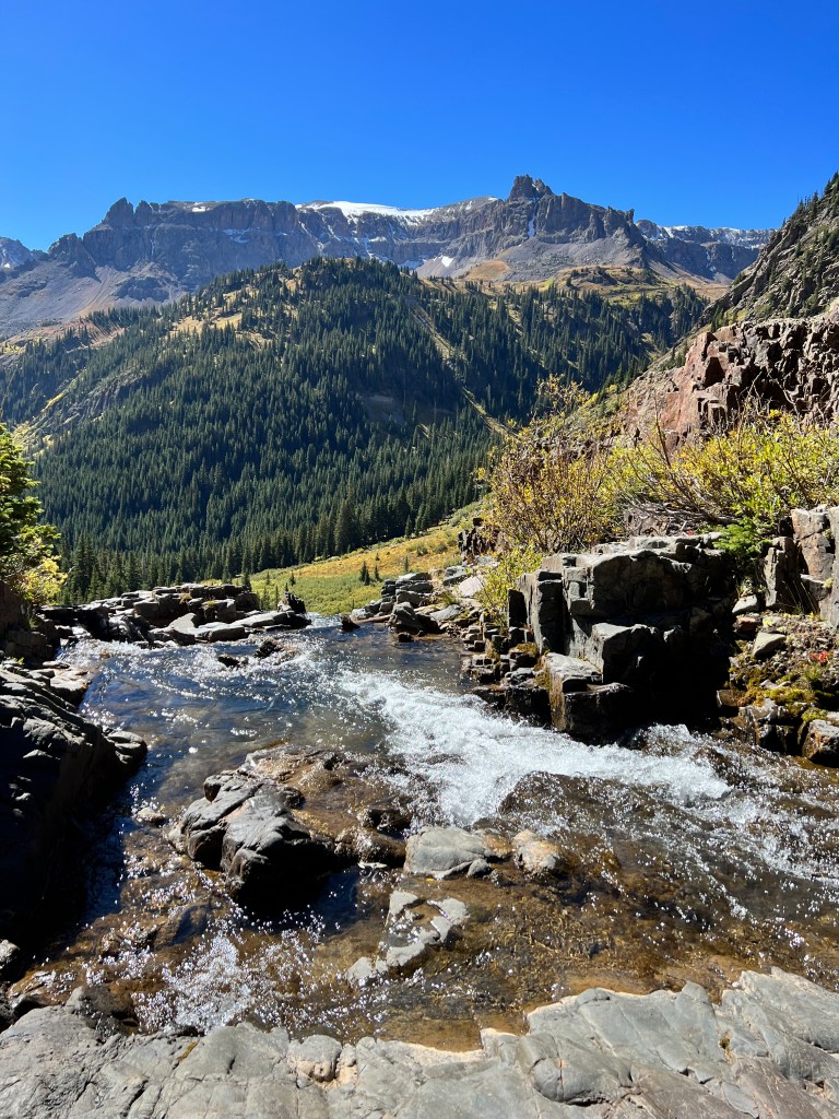
On our way out, we stopped at Box Canyon Falls, a thundering falls dropping 200 feet through a corkscrew granite slot canyon to join the Uncomphagre River in Ouray and home to the thermal hot sprigs used to heat the tourist attraction. The force of the falls is so great, they say it could be used to power all of Ouray, and standing next to Erich we couldn’t hear each other over the roar.
Back in Ouray for linner, we found an outdoor cafe that took dogs…just not our dog.
Phoebe was her usual refined self, trotting in gracefully. Phinn came in like a bruiser, barking at all the other dogs, pulling at his leash and he refused to settle down. We were so embarrassed that we removed him to Junior, and huddled quickly over our lunch and scurried out. Even Phoebe looked like she wanted nothing to do with him!
For the rest of the day we stayed close to lonely wilderness areas and Junior where Phinn couldn’t act out. We did enjoy a wonderful romp along the off road trail to Governor’s Basin, and the pups seemed to enjoy the view as much as we did. And, oh, the sunset…
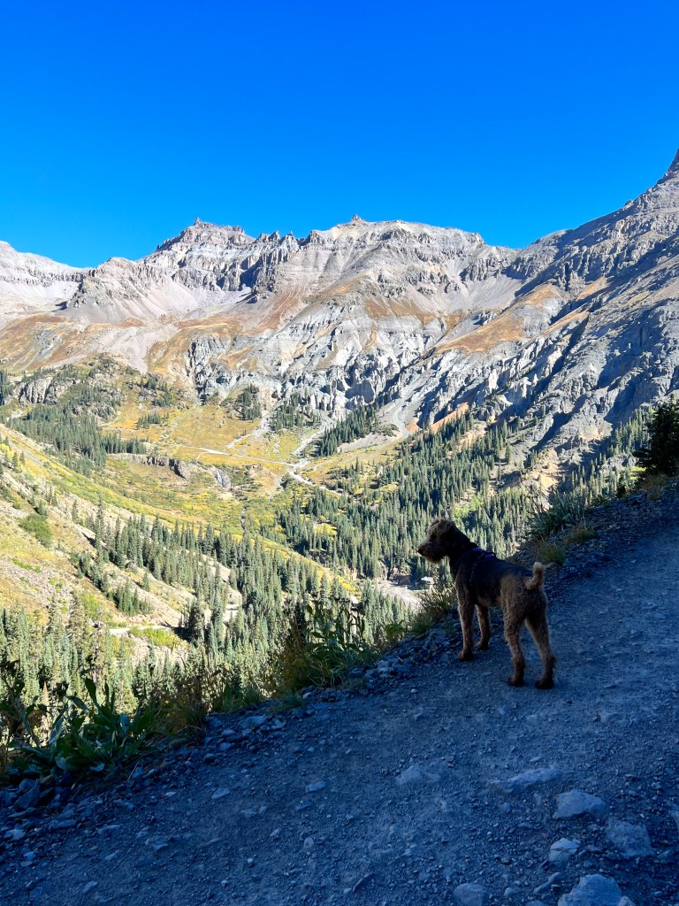
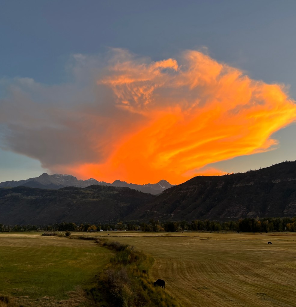
Recovered from his antics, we set out for Telluride this morning to sit by the river and read. We walked the pups first to burn off some steam, but alas, there is an infinite supply of steam in Phinn. He barked madly at every dog that went by, making even the most peaceful of places stressful…
We contained him again in Junior and drove to Mountain Village, the ski resort just above Telluride. We were looking for a place to eat, but there was no parking (by design) for day trippers, and the crowd looked entirely too glamorous for the likes of us and our ill-mannered brood. Multi-million dollar mansions sat commandingly on the hillsides with perfect views of the valley below. I did a bit of Zillow stalking again and found that the most expensive property was a ten bedroom, fifteen bath residence with sweeping views for a mere 34 million. The description said “ suitable for even the most discriminating tastes.” I should hope so at that price!
Back at camp, we went for one last walk along a lonely country road outside our resort, the sun setting over the San Juans and Phinn on his best behavior. We’re leaving on a high note, and with a passel of advice from one of our campground neighbors on how to train a dog. Sigh.
Mountain Magic
Sunday, September 24
Is there any place as beautiful as Telluride in late September?
Another sunny, crisp day and we set out for “Last Dollar Road,” an off road trail that leads from Ridgeway, just north of Ouray, through the northern slopes of the San Juans and drops into Telluride. It is so named as during mining times it was one of the few roads connecting the two settlements and it cost, you guessed it, a dollar. So, if you wanted to get your gold to market, you saved your last dollar to pay the toll.
The start of the road is broad, flat and dusty and winds its way through rolling dry grassland with magnificent views of the mountains and the occasional stubborn cow blocking the way.
The John Wayne Film, “True Grit,” was filmed here at one of the old ranches and still attracts tourists today.
I got out to walk while Erich took photos, and the fields were alive with sharp black and white magpies and numerous small grey birds that burst from the underbrush like confetti, chirping their displeasure with my intrusion. Cows lolled in the distance behind weathered zig-zag wooden fences. Peace.
The track became narrower and more rocky as we climbed the mountain slopes through groves of aspen and along scree-covered hillsides. Near the top of the pass is a large meadow with an Evil Knievel-like dirt ramp that leads right over the edge of a cliff into an expansive valley. It seems a popular stop for mountain bikers taking selfies.
The pups ran in the meadow and Phinn discovered a large, smelly mud puddle that stayed with us for the rest of the day.
Continuing up the very narrow, very rocky, very remote trail, we came to a hairpin turn and had to turn turn off the road for a man driving his Volvo sedan towards us with a single hand on the wheel, the other clutching his cell phone into which he was talking. Further along the trail, someone had pulled over several feet off the one lane track and popped up his car top camper. HIs feet hung out the tent door into the road. Odd.
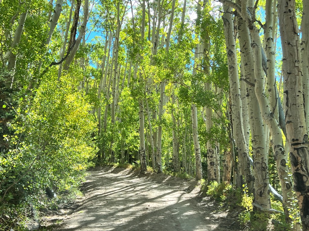
Then the aspen and pine forest gave way to grassy slopes and we descended into Telluride, past multimillion dollar homes with matching views and the interesting Telluride airport, located high above town on a flattened mountaintop.

We reached the San Miguel Valley floor, and turned left towards Telluride proper. Approached through a broad, sunny meadow that leads into the dead end town cupped in a horseshoe of towering mountains, Telluride never fails to take my breath away. Lovely Bridal Veil Falls watches over the town at the apex of the horseshoe, and feeds the shallow San Miguel River that dances over picture perfect river rock as it runs through town.
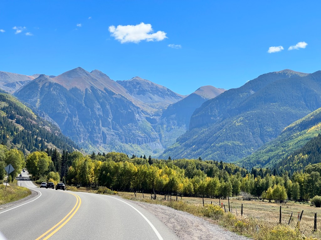
Established in 1878 as a mining town, it was reportedly named after tellurium, a gold bearing ore, though another legend has it that it was named as a run-on of “To Hell You Ride,” as it was in such a remote and difficult location.
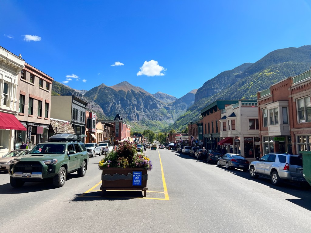
It operated as a mining community for years and there are over 350 miles of tunnels dug into the mountains around the town. Many of the old buildings that supported the community of miners remain on the main street as a national historic district, and victorian homes line the side streets. In the 1970s, the ski resort was developed and it became the destination of the uber-rich it is today. After walking down main street and wandering a well-maintained path beside the river towards the falls, the golden aspen whispering in the breeze and the sun warm on our shoulders, we googled housing costs. Houses start at five million, and the only thing we could potentially afford was a Boo-sized studio on the far outskirts of town. Ah well, it’s always fun to dream.
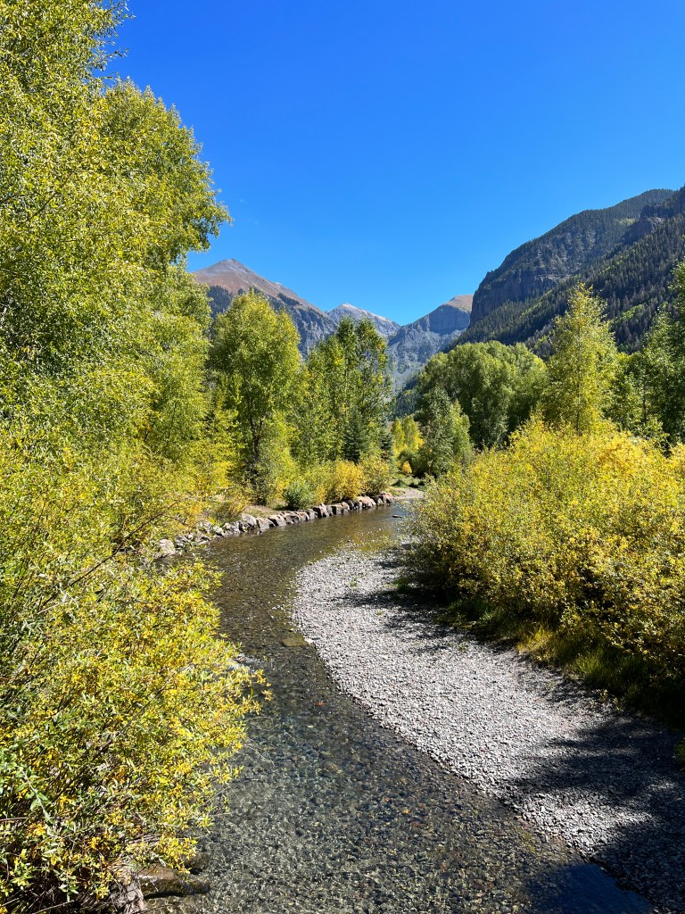
We took the paved way home and stopped at the “True Grit” cafe in Ridgeway for our customary linner-our one big meal of the day at around 3pm. It was a fun locale, full of Wayne-inspired memorabilia and a lovely table on an outdoor balcony overlooking the mountains. Unfortunately, our meat was likewise of Wayne vintage and ended up with Phoebe and Phinn.
Back at camp, we swapped our day’s travel stories with our neighbors, all of us agreeing this is a magical spot.
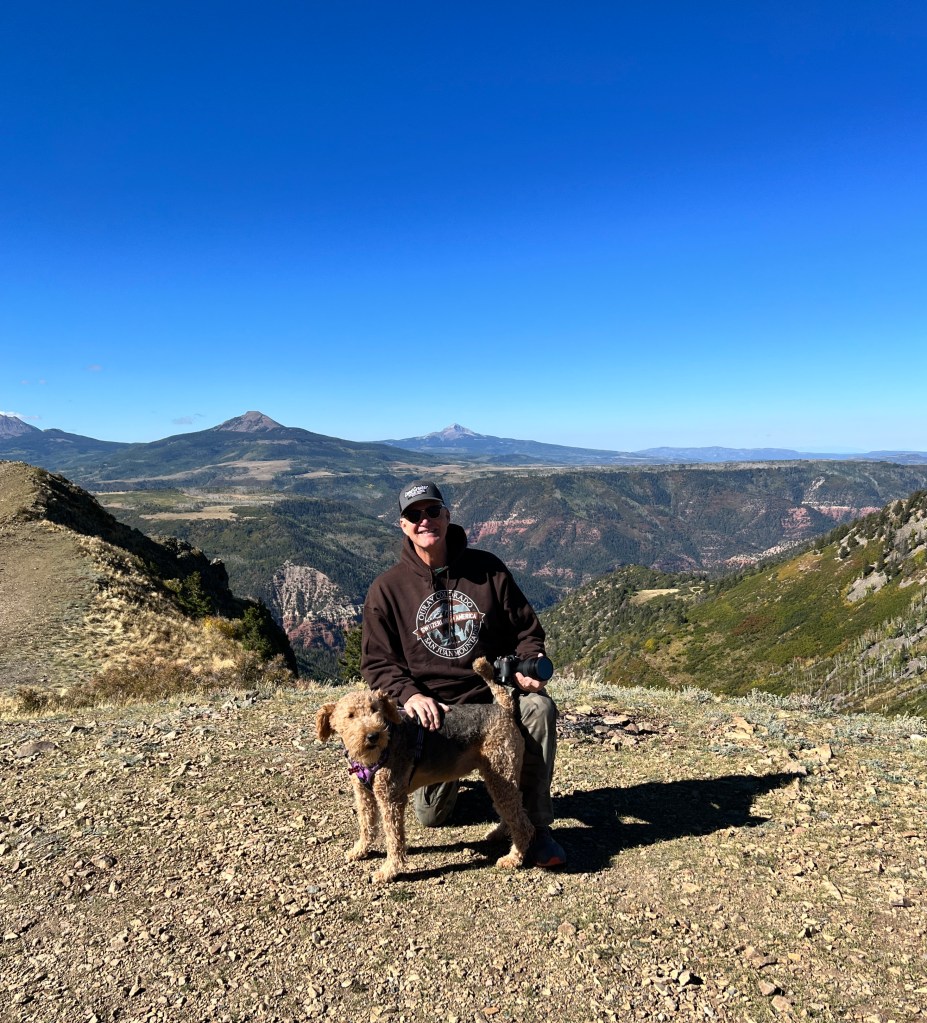
Alpenglow & “Airedale People.”
Friday, September 22 and Saturday, September 23
These past few days have been a bit of a blur, traveling back and forth on the Million Dollar Highway, and with each trip the aspen are a little more golden, a little less green, the hills awash in lemon/lime.

We’re staying off the most heavily traveled trails until the Jeep Jamboree has ended on Sunday, as caravans of Jeeps are now winding through the backcountry. Our campground neighbors left at 6:30 and returned at 8 pm, and rolled from their Jeep into their trailer yesterday, and were gone by 6 am this morning when we awoke.
Yesterday was devoted to exploring Durango, a mix of modern and late 1800s architecture on the southern end of the San Juan mountains. The drive from Silverton to Durango is one of more craggy, red-hued mountain peaks and alpine lakes, and once past the famed Purgatory Ski Resort, the valley opens to grassy meadows. Horses glow chestnut against the soft green, and lazily swish their tails. Then, suddenly, you’re surrounded by high desert scrub and layered rust mesas. Was the alpine drive just a dream? How could the landscape change so dramatically in 20 miles?
It was warmer, too, in the mid 70s, and we shed our down and wool before walking the pups around a beautiful municipal park downtown. We were struck by how many parks and green spaces there were in the city-trails along the Animas River which runs through the heart of Durango, and numerous treed parks throughout the town. We ate lunch at the delicious and lushly landscaped Frida’s Mexican Cafe (amazing Mexican cabbage salsa), then toured the old town, a mile of bustling shops, cafes and restaurants housed in turn of the (last) century buildings. At the south end of Old Town, the Durango & Silverton railroad occupies an old train depot, and operates daily tourist trips to Silverton through the scenic mountains on the original narrow gauge track.
On the drive back to Ouray, we stopped at one of the alpine lakes where the pups chased sticks in the water, and we relaxed on a bench in the alpenglow, the toot of the train in the distance.
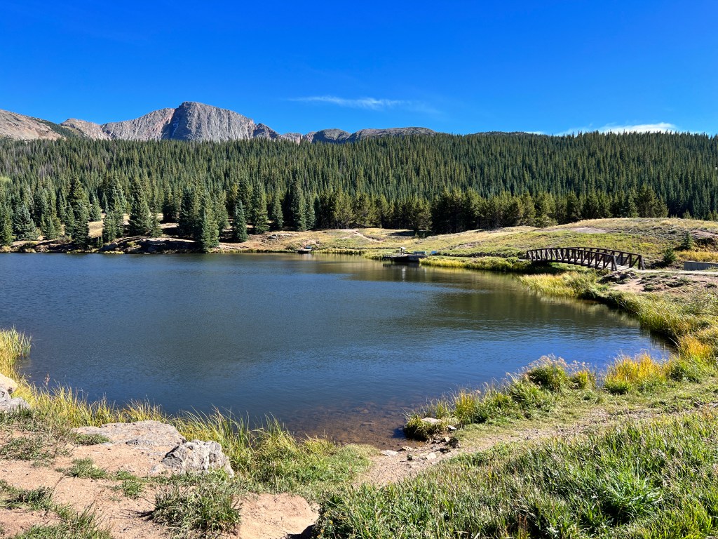
This morning was devoted to housekeeping, so we woke lazily to the sound of gravel crunching under Jeep tires as the Jamboree folk headed out.
The sun slanted through the trees beside the creek in our campground as I walked the path back and forth to the laundry, and I thought even laundry was a pleasure in this spectacular spot.
Once the chores were done and the crowds had cleared, we packed up and hit the road ourselves. Our destination was off road #31, a bumpy single lane track that is not on the Jamboree itinerary, but wanders through several of the oldest mining sites in the area.
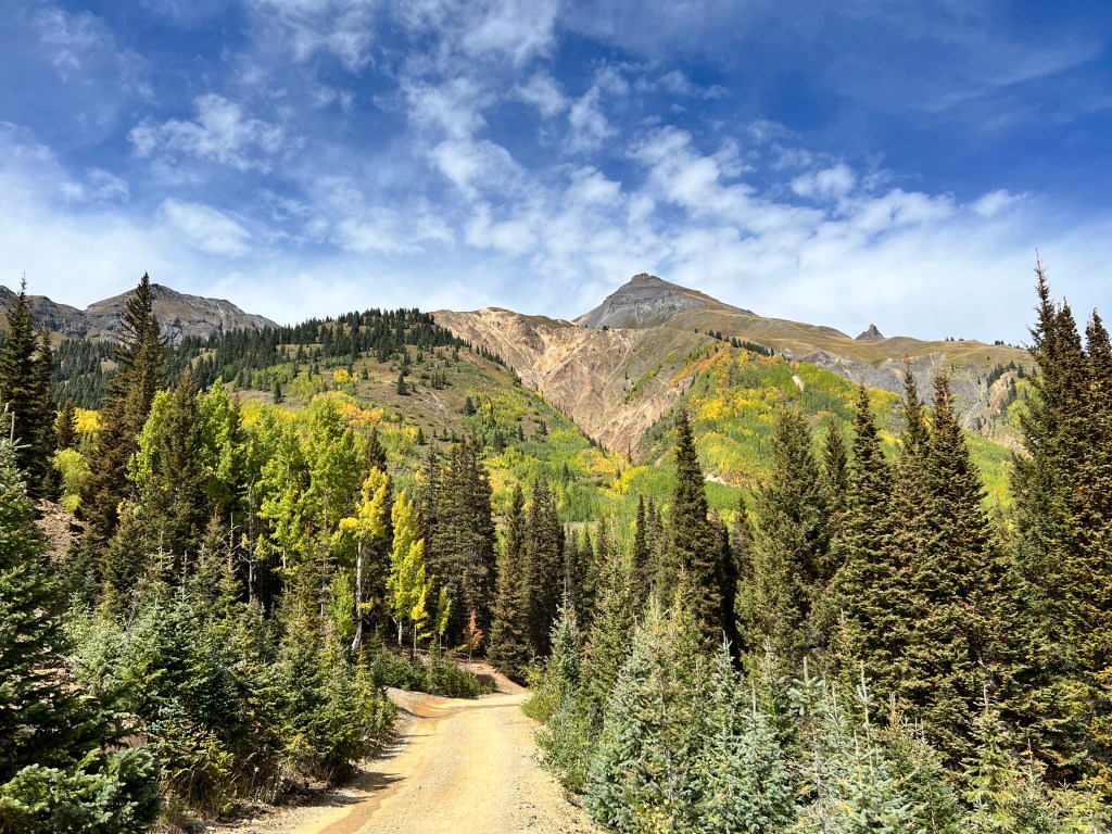
We had the trail to ourselves, and stopped to let the dogs run (Phinn was charming, bouncing though high golden grasses like he was in doggie heaven) and explore the well preserved old wooden mining structures. The sites sit high over the valley and the views behind these old mines must have given even those hot on the hunt for gold and silver pause.
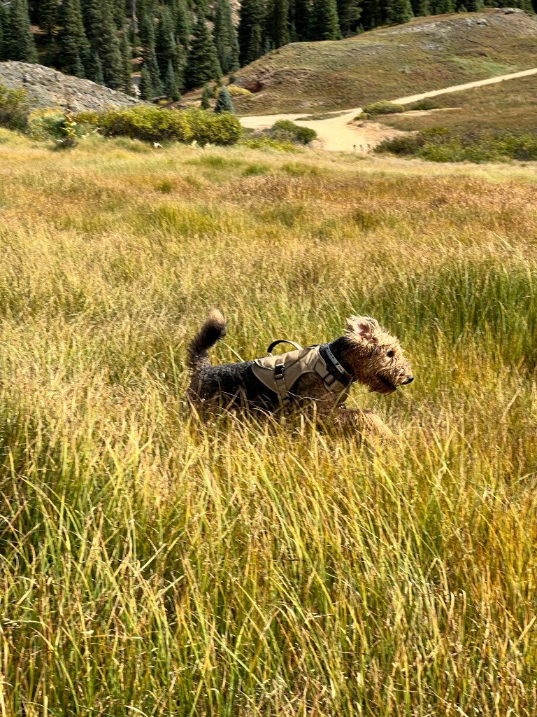
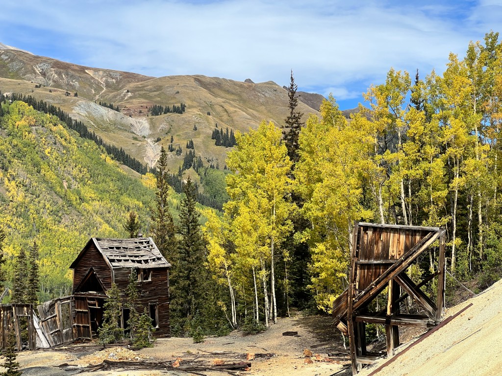
Looking at all the heavy equipment-old rails for the trams, ore buckets, tramways-it’s hard to imagine the effort it took to bring all of this heavy material up these steep mountainsides. I pity the donkeys. We found some shiny silver droppings along the old tramway and thought for a moment we had discovered pure silver left behind by mistake, but alas, only pyrite as identified by a geologist who was likewise rock hunting.
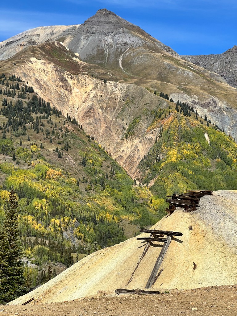
Back in Ouray, we had lunch at a local saloon (I highly recommend Peach Peak Ale) and browsed the shops. We learned that several of the backcountry tours take dogs, though likely not our feral Phinny who has made us infamous in the campground as “The Airedale People.”
As I write, he’s rolling in the only area of sand in his 12 x 12 foot pen that is otherwise carpeted or barked. We’ve had to drape towels over the side of his pen facing the main lane, as when he sees other dogs he becomes a slavering beast. It’s coming up on his evening walk, and we approach this with a sense of dread, dragging our ill-mannered boy past campers who clearly think we’re walking Cujo. Just another day in the life of “The Airedale People.”
History Tinged Golden
Thursday, September 22
The winds swept down our little valley last night, and we had to get up and remove our awning lest it go airborne. A patter of raindrops followed, and when we awoke the mountains were sprinkled with white-termination dust, as the Alaskans call it, the first snow of the season.
It was quite chilly and we broke out the down and wool caps for the day’s adventures.
We headed south out of Ouray down the spectacular “Million Dollar Highway,” that traverses the heart of the San Juan Mountains. So called because of the expense, this road was constructed, as everything n this area, to serve the booming gold and silver mines along the route. It is narrow and steep, with few guard rails. A monument at the apex, Red Pass, stands to honor those brave highway workers who have given their lives to maintain the roadway.
We stopped to admire the view back to Ouray, and to laugh at our past innocence. In our Colorado life, we were looking at property out here and were intrigued by the ad for 5 acres off the Million Dollar highway with an air conditioned cabin for $8,000.00. We followed the directions, parked alongside the highway and bushwhacked up the mountainside to find an 1800s vintage cabin, falling to ruin with a tree fallen in the middle of the roof letting in the air.
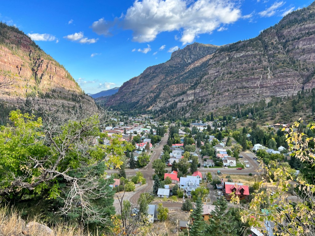
Air conditioned indeed! The property itself was composed of a precipitous cliffside and said cabin on the only flat spot. Despite all, we considered buying it. Ah, youth.
Next we came to the famous “Old Antique Store,” across the valley and perched on a remote cliff. The sign in front of the old cabin says open 9-5, and we always puzzled as to how anyone could get there. One late summer day, we hiked out with our original airedales, Max and Sophie, only to get caught in a thunderstorm while traversing the high cliffs en route. We took refuge in the desolate, deserted “Old Antique Store,” an elaborate local joke.
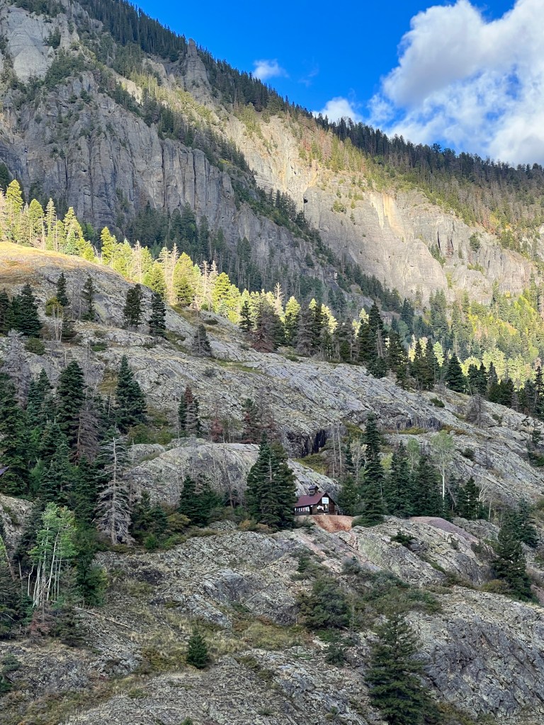
Continuing down the valley, swaths of golden aspen swept down the hillsides and stood vibrant against the red mountains, tinged so by iron oxide. This is the heart of the mining district of old, with famous mines like “Yankee Girl,” which from 1882-1898 produced ore so rich it went straight to smelting, bypassing concentration. Many of the old buildings still remain, weathered monuments to a rich history.
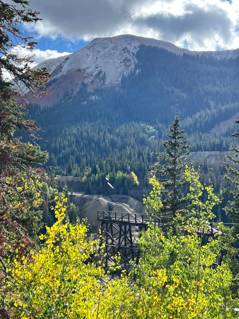
Passing more perfect alpine fall panoramas at every bend, we arrived in Silverton. Another mining supply town now given over to outdoor recreation, it maintains it’s old world charm with restaurants and souvenir shops populating the old western buildings. It’s also the terminus of the Durango to Silverton railroad, one of the most scenic trips via rail in the country. We dined al fresco in the intense sun (9000 feet, full sun, unable to open umbrellas due to wind) and continued down the road to the Animas Valley.

Another valley with a rich mining history, it boasts one of the best preserved ghost towns in Colorado at the end of a bumpy, narrow off road trail. More golden aspen mixed with pine limned the tributary canyons, and the Animas River, a cool slate blue, burbled beside the road.
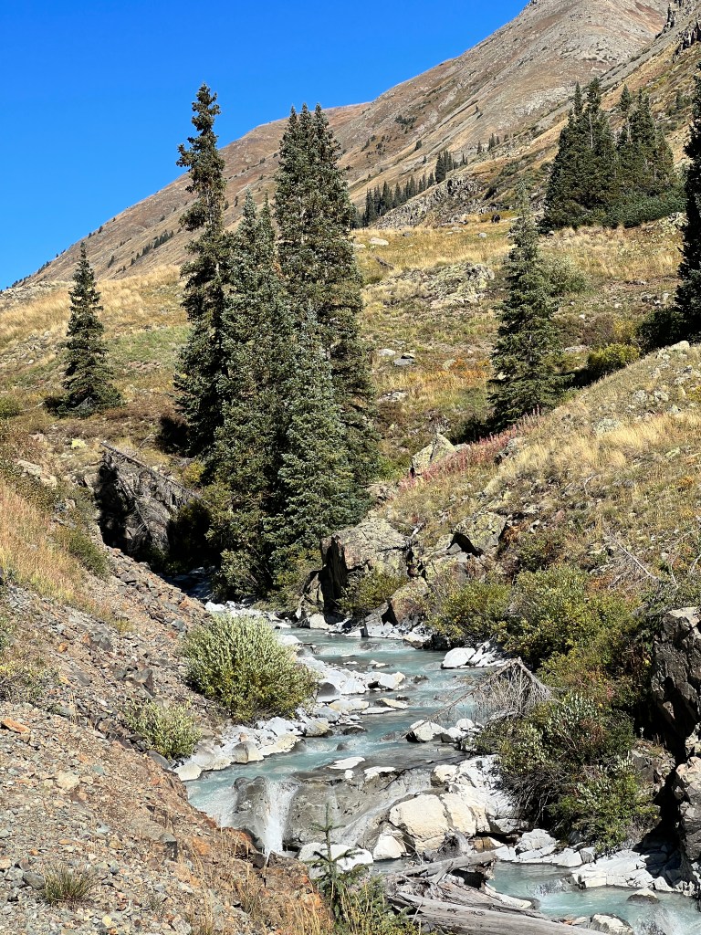
The townsite is better preserved than we remembered, and it’s possible to go into many of the structures that once composed this year round town of 100 souls at the dizzying height of 11,000 feet. A placard in one of the homes noted the family was often snowed in for weeks at a time, and as the snows buried their cabin they got fresh water by opening a window and scooping up snow to melt.

Back in Ouray, we ended the day with a relaxing soak in the thermal hot springs, a warming 104 degrees. The sun crept down the cliffside surrounding town. A crescent of moon appeared in the velvet night sky and lights of Box Canyon winked on, along with a mysterious light high on the inaccessible cliffs that we later learned, like the Old Antique Store, was a solar light placed by climbers to fascinate tourists. A perfect end to a perfect day.
Homecoming
Wednesday, September 21
Ouray, dubbed the Switzerland of America for it’s scenic alpine beauty, is one of our favorite places on earth. When we lived in Colorado, we would spend at least two weekends a year here in the fall, driving the trails and soaking in the hot springs. This is where, stressed and overwhelmed by studying for the notoriously challenging Dermatology Board Exam, I retreated for 3 weeks to prepare, dubbing it the “Ouray Board Review Course.” It has always felt like home.
Leaving the red rocks of Moab behind, we crossed the southern edge of the La Sal mountains. Pinyon pine and juniper gave way to ponderosa and meadows of gold, afire in the low morning sun. Outside of Ridgeway, the first aspen appeared, crisp, white trunks marching up the hillsides, and papery apple green leaves tinged with yellow fluttering in a symphony of calm.
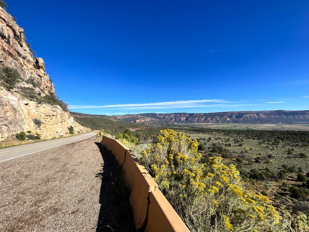
The craggy San Juan mountains appeared on the horizon, towering behind the pastures and split-rail fences of ranches scattered about the valley.

The line of Jeeps began as we turned right at Ridgeway. We had inadvertently timed out visit with the annual Ouray Jeep Jamboree, so enthusiasts from all over the country were converging on this small mountain town to drive the famed off road trails and swap everything Jeep. Having just purchase a Jeep Rubicon myself, it will be fun to take in the vibe.
We set up camp at the KOA just outside Ouray, and as we were pulling in an airedale and his owner walked by our campsite. Turns out that they are camped two spots away and, like us, are a couple with two airedales. They were quite forgiving of Phinn and his antics, which were on full and embarrassing display.
After promising to go for a walk with them later, we proceeded to wrestle with inflating our sun awning at 7700 feet. After an hour of pumping with very poor results, we abandoned the effort and drove in to Ouray to buy a new shelter.
Tucked into an alpine bowl with dramatic sheer cliffs rising around on three sides, the town has one paved main street and a grid of dirt backstreets. It was named after a Ute chief who was helpful to the early settlers in this area, and established as a mining supply base in the late 1800s. It has proudly clung to it’s roots, and many of the buildings date from this era. It has a charming wood-flared hardware store and well stocked market amidst the tourist shops and Jeep rentals, and there is a thriving year round population of several thousand.
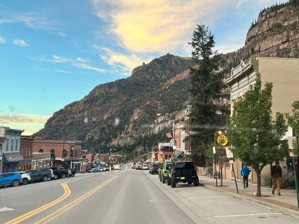
In the hardware store, where I remember buying highlighters for my “board review” course, we found a pop up shelter as well as a new Yahtzee game, the latter replacing one that mysteriously vanished after one of us had a prolonged losing streak.
Back at Junior, the airedales were harassing all the more civilized dogs walking by, and we decided to get out of town before we developed (more of) a reputation.
It was getting near twilight by now, and with the Jeep Jamboree beginning tomorrow, we took the opportunity to drive one of our favorite trails, to Yankee Boy Basin, before the crowds descended. This is a single lane shelf road that winds deep into the mountains outside of Ouray, and ends in a spectacular bowl surrounded by craggy peaks. As all else in this area, it was developed for mining, and there are old wooden ladders that hang scarily off rocky cliff faces and sluices and cabins returning to earth. The late afternoon sun painted the granite crags a soft pink and picked out the yellows of the aspen pouring down the hillsides. There was a nip of fall in the air, and a light wind blew a few early-fallen leaves across the road. Our tires crunched the gravel, the airedales sniffed the alpine air, and we were home.
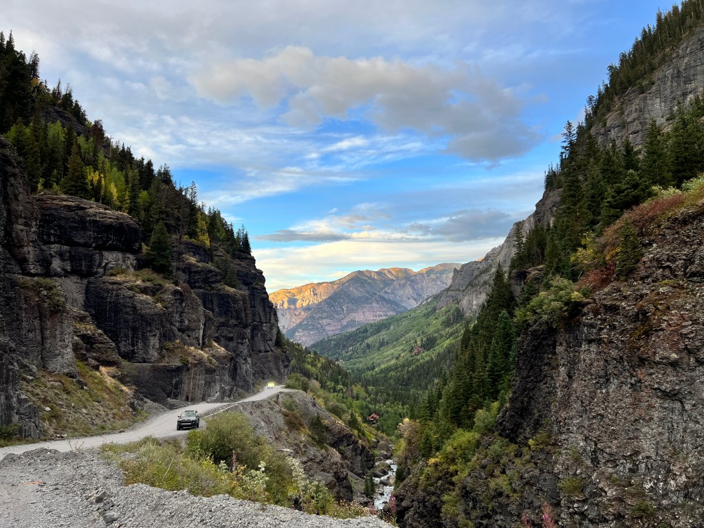
On and Off the Beaten Path
Tuesday, September 19
The day dawned clear and sunny, and we were off to a late start thanks to a slug of Benadryl I had taken to combat innumerable insect bites. I blame the Buffalo and their proximity…
In any case, it was getting hot already when we left the campground at 9 am, and we had Arches entrance tickets at 1 pm and roads to explore before. Armed with an “Off Road Trails of Moab” book rating trails from “easy” to “difficult,” we began the morning’s entertainment. Foregoing the “difficult” trails with the names of “Metal Masher,” “Cliff Hanger” and “Devil’s Punchbowl,” we elected to begin with the author’s favorite “easy” trail, “Gemini Bridges.”
As we inched along the scree-filled shelf road clinging to a mesa high above the Moab Valley, Erich had a death grip on Junior’s wheel and asked “why do you always get us into these things?” A fair question.
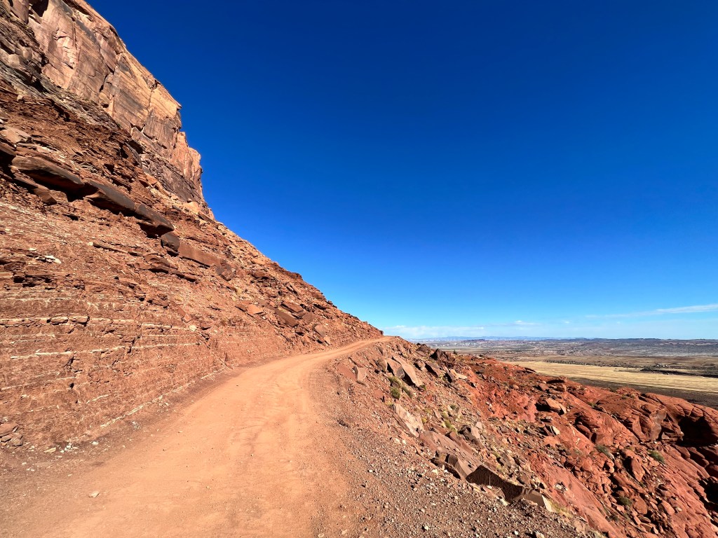
As there was no room to turn around, we had to continue on and soon the road entered a broad valley rimmed with salmon-hued sandstone cliffs. We were the only people there, and got out to enjoy the solitude. Ravens cast large shadows on the western walls, and we could hear their wings beat as they wheeled overhead. The pups ran in the soft sand and pronounced it almost as good as a Colorado River beach.
The road the rest of the way to Gemini Bridges was rocky but easily navigated, and took us past all manner of hoodoos and spectacular vistas. We arrived at the trailhead quickly and found we were the only ones there. Taking Phinn close to cliff edges always gives us pause, but as we were alone and it was quite warm already, he lacked his normal tugging fervor and we were able to explore the bridges and even walk him across them.
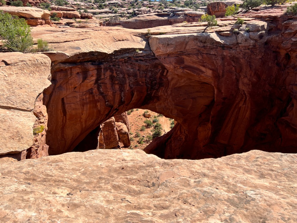
Rising almost 200 feet above the canyon floor and separated by 6-10 feet, these bridges have been destinations for off-roaders and mountain bikers for decades. One used to be able to drive down to them, but that ended in 1999 after a 19 year old tried to drive his jeep across the narrowest bridge and fell to his death. A plaque is embedded in the sandstone where he fell: In Memory of Beau James Daley-Forever Young.
Several others have died trying to leap from one bridge to the other, and there are signs around advising caution. We stayed far from the edges, a bit haunted by the macabre history.
Threading our way across the canyon-riddled high desert to highway 313 was made easy by the wonderful trail markings. We came across the end of the trail for “Metal Masher,” but saw no survivors today.
At Arches, we waited in a long line to enter, even with timed tickets. Other than the crowds, this was very much as we remembered it when we lived in Denver and would make frequent trips here in our old Land Cruiser. We have hiked to Delicate and Landscape Arches, and camped at Furnace Campground, so today with pups and in the 90 degree heat, it was mainly a from-the-car experience. Edward Abbey recoils…
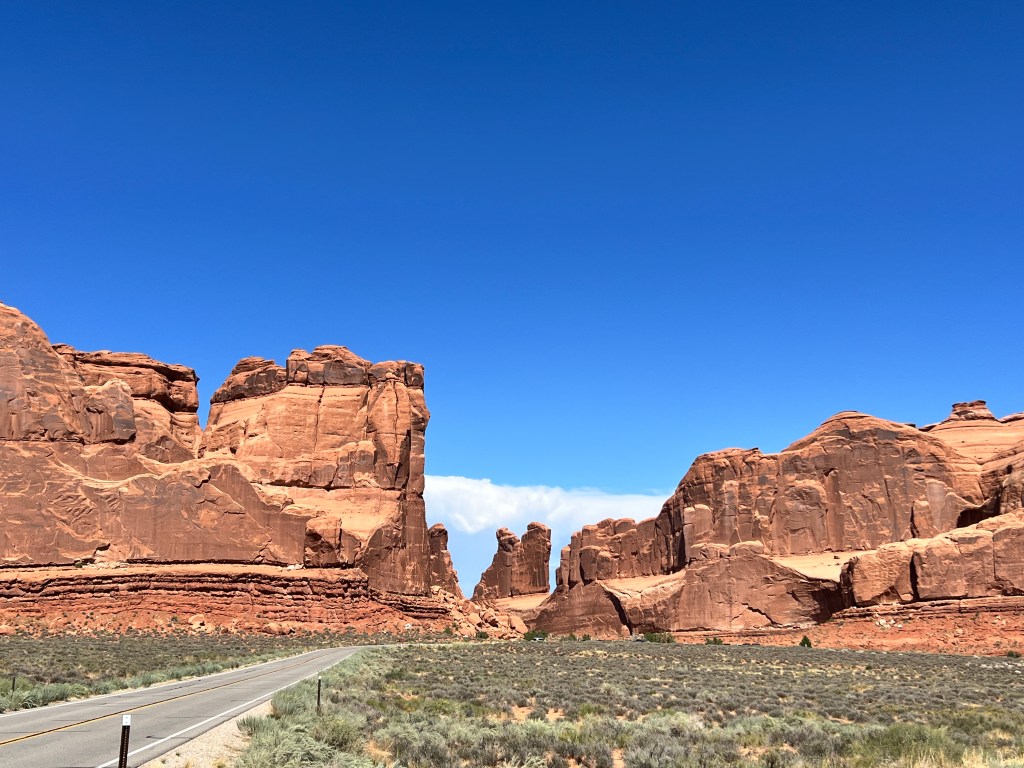
Nevertheless, it’s impossible not to be awed by the towering burnt orange sandstone formations guarding the park like sentinels. Ascribed names like “Nefertiti,” “Corn Dog” and “The Three Gossips,” they dwarf the surrounding desert. Their scale makes the park seem empty and serene, despite the crowds.
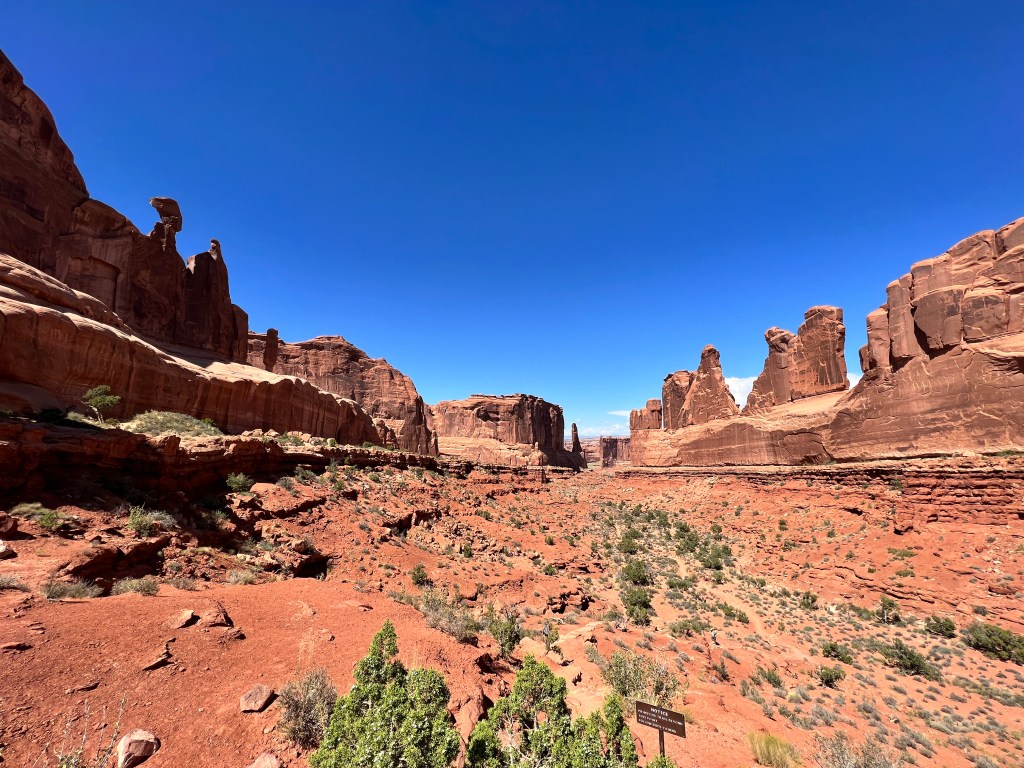
Of the two hundred arches in the park, many are visible from the road, and that was perfect for us today as the mid-day heat had become a physical presence, slapping us silly whenever we left the shelter of Junior for more than a few minutes. Woe to those who hiked to Delicate Arch in these conditions-the visitor’s center advised against it and said if you must, bring 4L of water per person!
Our minds addled by beauty and heat, we left the park by another off-road trail, Willow Springs, along which Edward Abbey lived in the 1960s and penned his iconic “Desert Solitaire.”
Even now, this is isolated, rugged and lovely. We met only four jeeps en route and stopped to examine the petrified three-toed dinosaur tracks heading out into the emptiness. Erich did a wonderful job navigating Junior over all manner of rock ledges and slick rock expanses, and only once did we lose the trail, though that provided for some tense moments as we walked the baking desert reconnoitering.
Back at camp, we relaxed in the air conditioned comfort of Boo until the sun went down. We walked the pups in the cool gloaming, towering thunderheads over the La Sal mountains lit in creamy yellows and pinks by the setting sun.
Back in the Southwest
Monday, September 18
A frantic scuffling of hooves woke us this morning, accompanied by the collapse of our porch as a buffalo tripped over one of the guy wires. We held our breath, waiting for a huge, panicked animal to careen into Junior or Boo, but it seems the incident was taken in stride.
I took the pups for a walk while Erich packed up for travel. The sky was overcast with curtains of rain in the distance and dramatic beams of light dancing on the lake. Hundreds of migrating birds dotted the surface and plied the shores, and from the fields came the lovely warble of the meadowlark. Such a lovely spot.
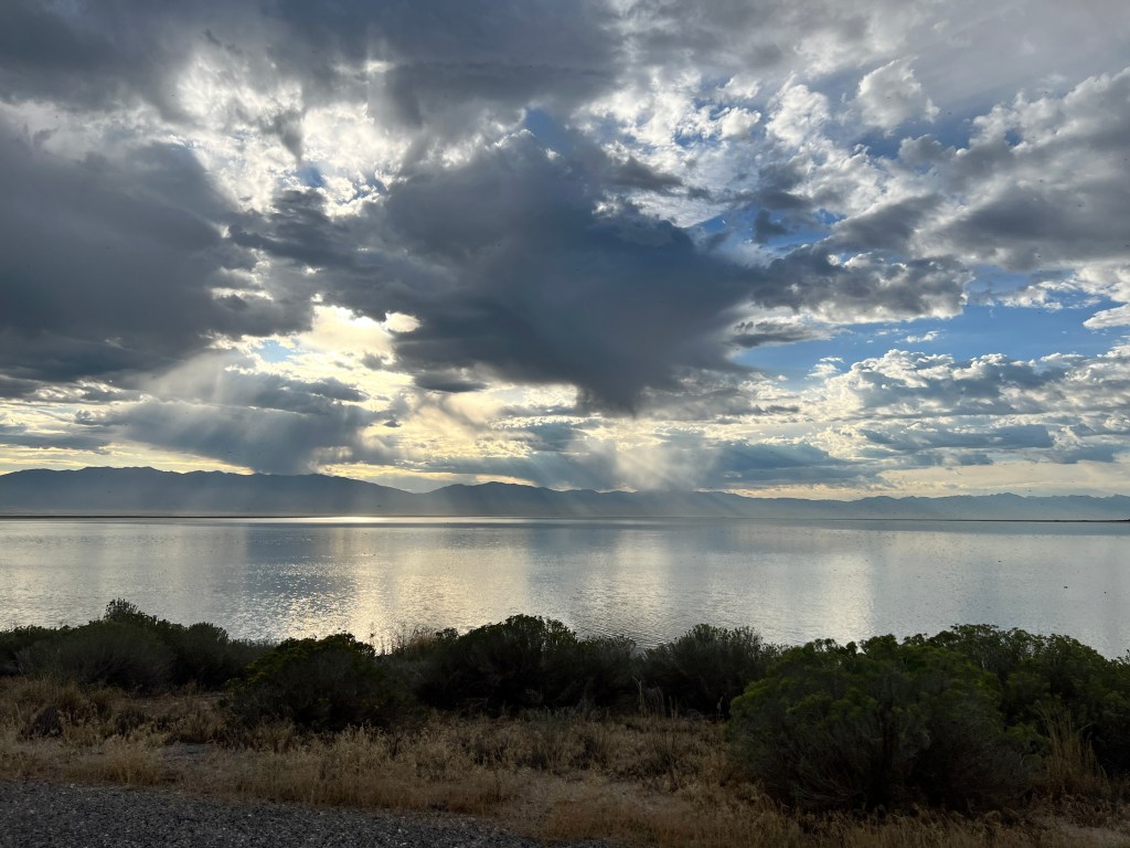
We drove south on I-15 to Salt Lake City, and a long anticipated stop at the Land Cruiser museum. Both of us have always loved this vehicle, and I have fond memories of riding up Mt. Lemmon on the hood of an old J40 handing on to the the windshield wipers. When we lived in Colorado, we owned two older J80s, which took us up some hairy mountain roads like the one below over Imogene Pass between Telluride and Ouray. The photo is from the internet, as it was in the time before cell phones and in any case we were too scared to take pictures. Imagine us on the outside of this road, meeting a Jeep coming the other way and having the driver ask us to more over as we still had “a couple inches” before we would slide off the road!

We were the only visitors in the museum, located in a beautifully restored old foundry, and had the run of the place. A very knowledgable docent gave us a guided tour of the 200 Land Cruisers on display and treated us to his opinion of the new 2024 Land Cruiser that remains under wraps for the hoi polloi, but he was able to see last week as the world premier was held at the museum. For 2024, Toyota has gone back to the roots of the Land Cruiser, as a more affordable off road vehicle instead of the outrageously priced luxury mobile that it had become. He (the docent) has a deposit down already…
We continued south towards Moab, through landscapes on the cusp of fall, and into the vast open high desert dotted with mesas. Thunderstorms played on the the northern horizon and we entered Moab in a post-storm steamy heat.
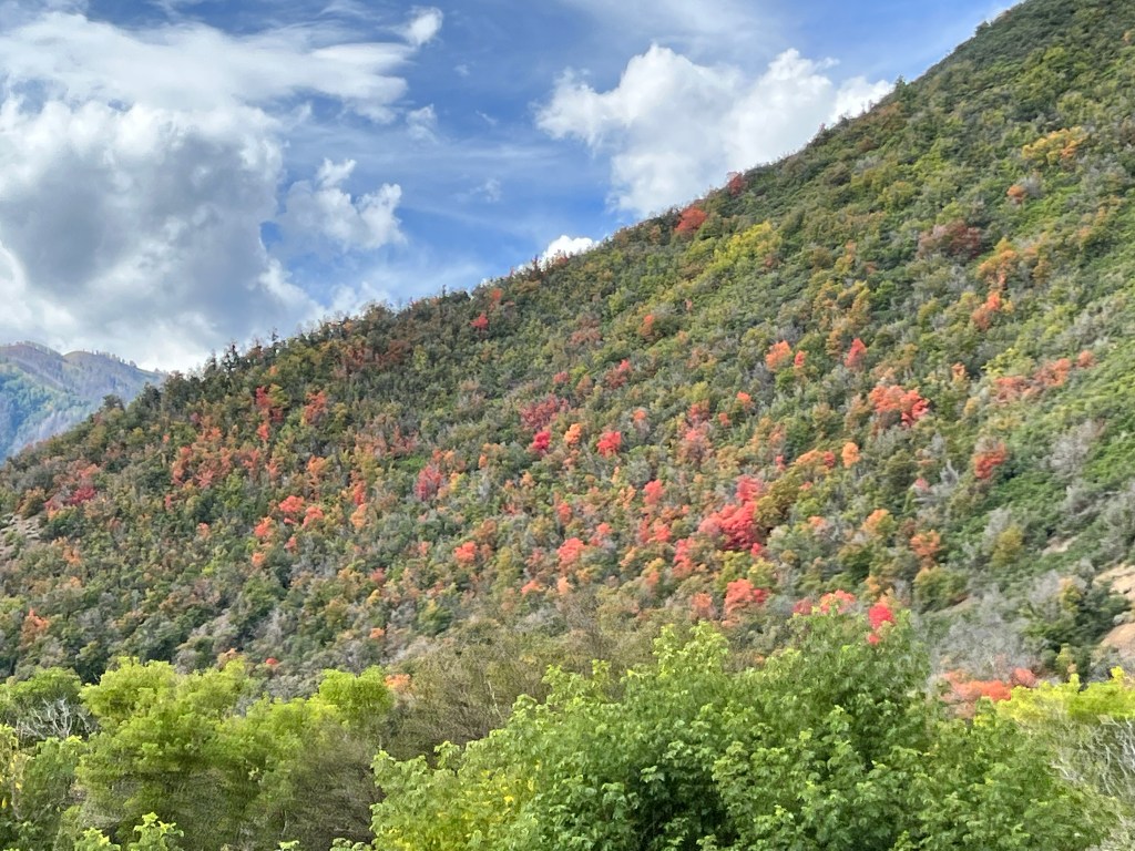
We had last been here almost 20 years ago, and my how it has changed! What used to be a modest downtown now stretches several miles and is lined with swank restaurants, adventure guide shops and outdoor outfitters. Burly Jeeps and yes, Land Cruisers, prowl Main Street and timed entry tickets are required to enter Arches National Park. The red rocks, however, stand as they have for millennia, surrounding and watching the town.
After dinner, we headed out for a magic hour drive down aptly named Castle Canyon where the upper reaches of the Colorado river twist through towering burnt sienna cliffs streaked with desert varnish. An occasional petroglyph is visible from the road and campers and rock climbers pepper the landscape. Sharply cut boulders the size of houses mimic gigantic lego creations, and caves high on the cliffs beckon us like they must have the ancient Puebloan peoples who built cliff dwellings in this landscape.
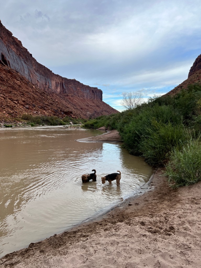
The smell of the river, verdant and fresh, permeates the air and recalls a time before dams, cars and campgrounds-a time when the earth was young and all was possible. Phinn and Phoebe succumbed to this smell of earthy life, and frolicked like puppies in the sand and still waters at the river’s edge. On our return, they proceeded to shake several pounds of sugary sand into Junior, then drifted into contented sleep.
Where the Buffalo Roam
Saturday, September 16 and Sunday, September 17
Leaving The Mendoza Rancheria with some new friends-about a dozen clinging horseflies-we hit the road for Antelope Island.
In lieu of stars from our “stargazer” window over the bed in Boo, last night we counted horseflies on the ceiling of the RV garage. I’m not sure what it says about our state of hygiene that several of them chose to accompany us instead of staying with the horses…
In any case, they provided entertainment for Phinn and he spent the drive out of Jerome snapping at them while Phoebe, ever the well mannered lady, took in the morning air.
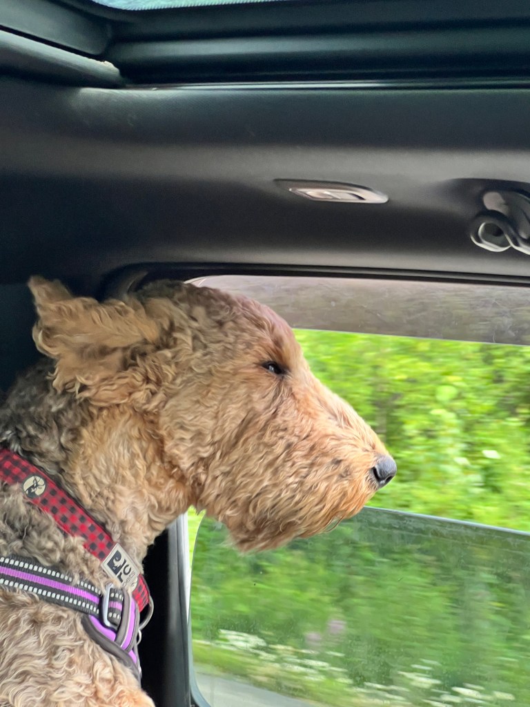
Sunflower-lined highway 84 took us south to Utah, through southeastern Idaho and more rolling golden hills and fields of corn ripe for harvest. We followed trucks piled high with onions and passed all manner of futuristic-looking watering equipment squatting over crops that extended past the horizon.
Suddenly we found ourselves among strip malls and billboards advertising personal injury lawyers, and we had arrived in Ogden, where we turned west towards Antelope Island State Park.
We discovered this park by accident on a pre-pandemic winter trip to Salt Lake City. The last time we were here, we were one of very few visitors during a winter storm and explored the snow-packed roads carefully in the 20 degree weather and had an unusual encounter with a porcupine, also out on the road and moving even more slowly than we were. We stopped to admire him, and he sought refuge from the storm in the warmth under our car, leaving us immobilized and arguing about which one of us was going to get out and scare him off before we ran out of gas.
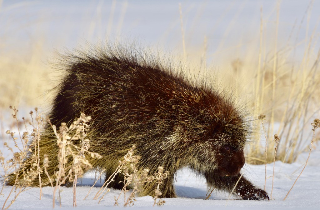
A completely different experience this time as we arrived at noon in 90 degree full sunshine and suffered a bit of heat exhaustion, ironically while setting up the inflatable sun protective awning that attaches to Boo.
Once set, we collapsed in the shade and enjoyed a cold drink looking out over the golden plain dotted with grazing buffalo, and stayed in the shade all afternoon. The sun set in stripes of soft pastel, reflected perfectly in the waters of Salt Lake and brought with it a silky coolness in which we slipped to sleep.
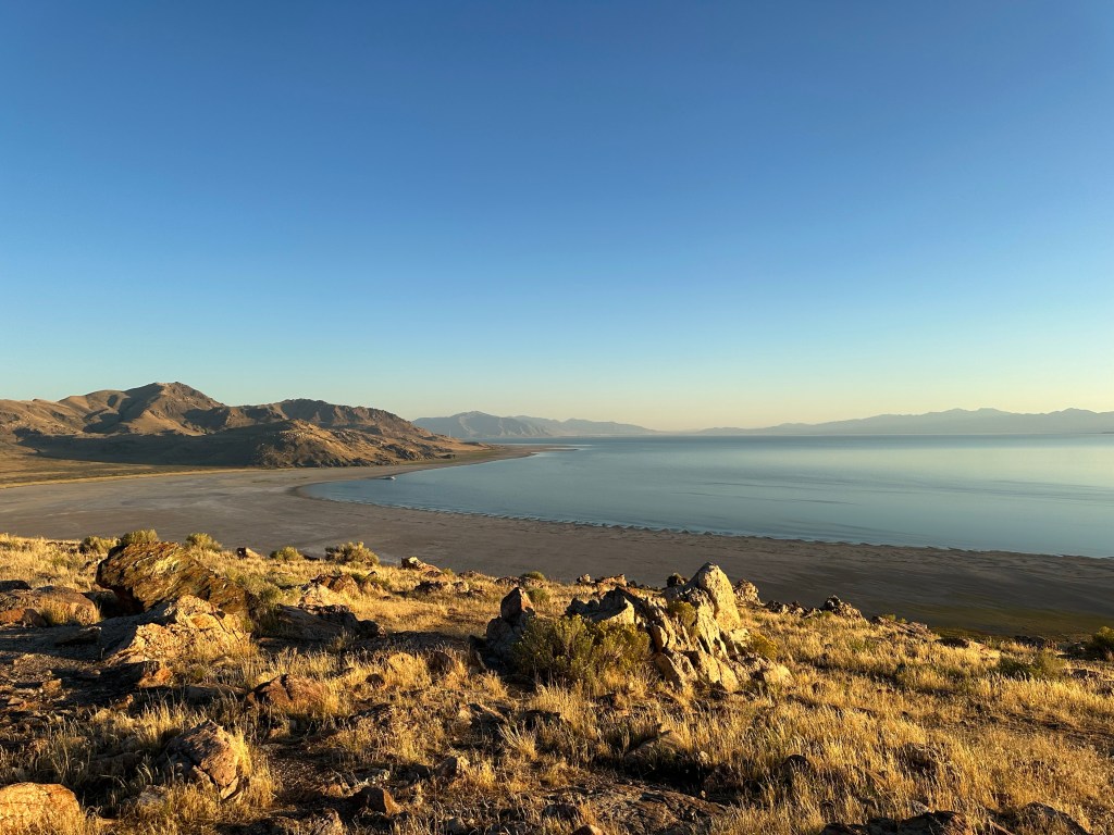
A crunching of hoof on gravel in the pre-dawn woke us and we found ourselves in the center of a buffalo herd, grazing peacefully around Boo. Though still quite dark, we could make out their huge, inky forms not 2o feet away and could hear them chewing. Luckily, Phinn held it together and they passed peacefully. As the orange glow of sunrise traced the horizon they moved on below us, and we crept out on the porch to watch.
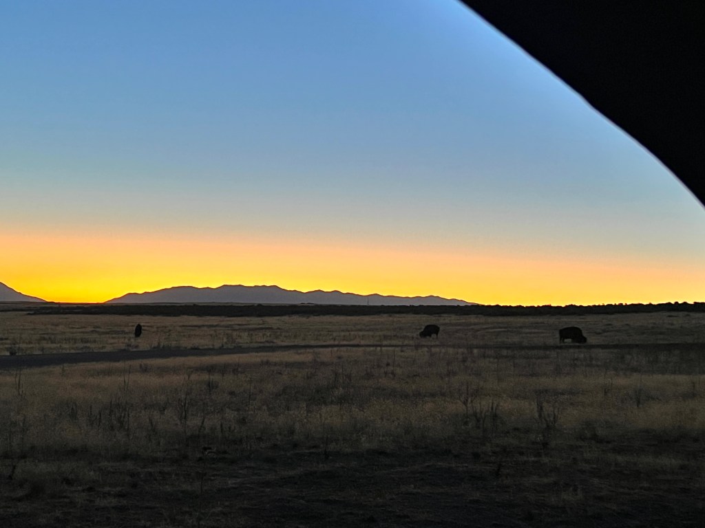
Meadowlarks came alive with the sun, and we were serenaded on our morning walk through fields of backlit sunflower. After breakfast, we headed out before the heat of the day to explore the island.
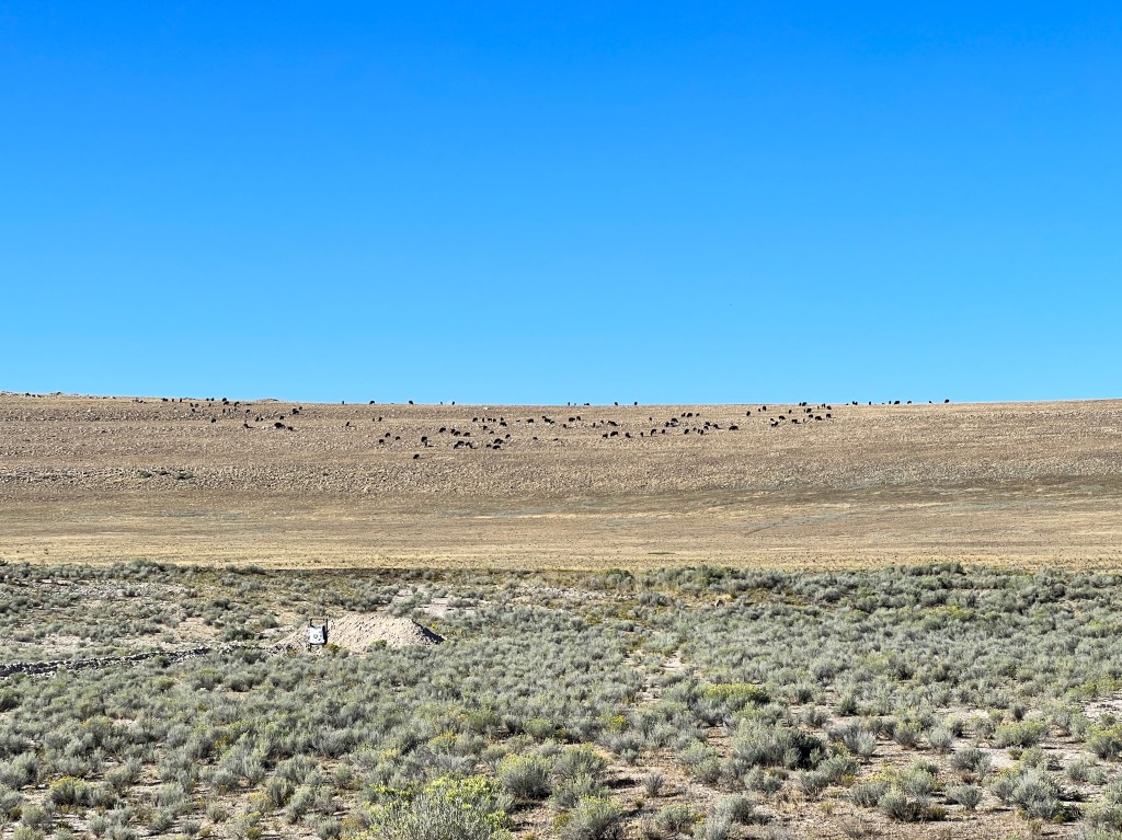
Dirt roads criss cross the rolling hills, carpeted with flaxen grasses and chaparral. Following one such road, we were delighted to come upon a fenced mulberry grove, a relic of the ranching era. A few picnic tables were scattered in the shade (a scare commodity here) and we sat looking out over the sun-baked landscape and dry mudflats where the lake recently receded while the pups played among the trees.
At about 28,000 acres, Antelope Island is the largest in The Great Salt Lake and has been inhabited for at least 6000 years. It’s more recent history dates to 1848, when a permanent homestead was established as a cattle and later sheep ranch on the eastern side of the island.
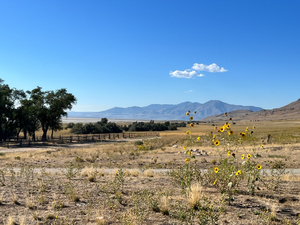
Though not operating since the state of Utah purchased the island in 1981, it’s buildings remain well preserved and are open to the public, and it’s certainly easy to imagine how difficult life must have been here in the 1800s, so far removed from even early civilization in the West.

In the late 1800s, three buffalo were brought to the island and allowed to roam freely. They must have had a raucous time, as now there are hundreds, and all quite happy to ignore humans as long as they keep their distance. That is somewhat hard to do, as they roam across roads and into campsites. I had a somewhat tense encounter tonight at an overlook: After walking about a quarter mile to the bathroom, a large male blocked the road back to the car where Erich and the pups were waiting and photographing the sunset. I tried to approach gingerly, but he fixed me with a gaze that said “really?,’ and I backed off and waited until after sunset for Erich to notice I was trapped.
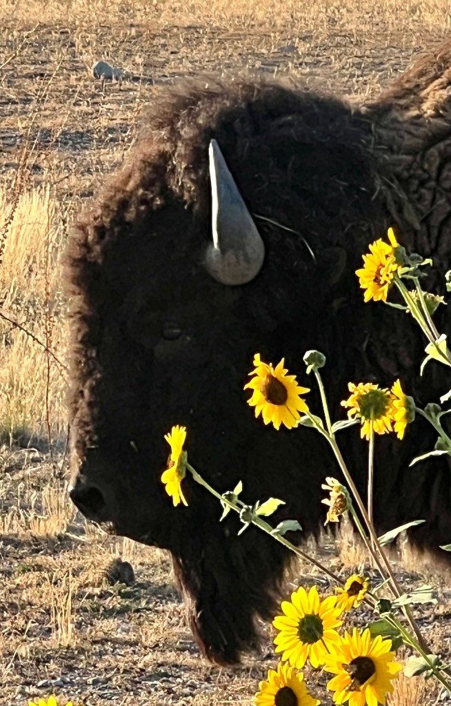
The day ended as it began, a line of orange on the horizon, behind buffalo.
The Southwestern Migration Begins
Thursday, September 14 and Friday, September 15
It’s hard to believe it’s been 2 months since my last entry. In many ways it seems like only yesterday, and in others a different lifetime.
We spent the summer catching up with friends, sitting on the porch, taking day excursions to the mountains and most importantly training Phinn so our trip south would be less eventful that our last trip north.
Our trainer, Ashley, was wonderful and Phinn is now a whiz at sitting, heeling, and lying down, the latter with a hilarious lunge that mirrors his overall exuberance. He’s less adept at “leaving it,” though not for lack of understanding but more a parsing of his level of interest in the various rewards on offer. I’ve become a human Pez dispenser of dog treats, and every dog I meet now ransacks my hands as I have become one with Costco desiccated liver treats.
We were as ready as we were going to be Phinn-wise, and had a date with the Colorado aspen in Ouray.
The sun was suffused by fog and the air touched with a nip of fall as we slipped out of Eagle Harbor and began our trek east.
Outside of North Bend a lemon yellow maple leaf spiraled to earth, watched by a lazy road construction crew soaking up the late summer sunshine. We stopped to let the pups run at Snoqualmie Pass, and the hillsides were alive with brush tinged with autumn color and fireweed slowly going to cotton. As the Alaskans say “When the fireweed goes to cotton, summer’s soon forgotten.”
Down the eastern slope of the Cascades, the scene changed to golden meadows and fields dotted with hay bales, a season of plenty winding down. There were no cherries to be found at the fruit stand in Ellensburg, but apples and tomatoes were abundant and delicious.
We chomped our way to Walla Walla and into another cornucopia at Frog Hollow Farm.
A friend turned us on to “Harvest Hosts,” a membership club that connects farms and vineyards with goods to sell with campers looking for interesting places to stay. In exchange for a purchase of $30 or so, they allow you to camp the night on their property.

Frog Hollow Farm was out first experience with Harvest Hosts, and it couldn’t have been more lovely! A local organic farm that caters primarily to the surrounding community, it sits on about 20 acres and is planted with myriad crops which you can pick yourself or buy from the on-site farm store. We stocked up on heirloom tomatoes, cucumbers, potatoes, onions, garlic and squash and then found a lovely spot behind the fields under the shade of cottonwoods to camp the night.

We were the only guests, and after the farm store closed at 5pm, we had the run of the place, wandering the fields of sunflowers, tomatoes and pumpkins as the sun set.
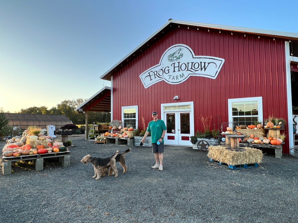
Walking back to our campsite along a creek, we heard the rustle of dried leaves as though something very large was nearby. Similar sounds from other locations has us all looking about anxiously and we scurried back to camp, assuring ourselves it was only deer. Back at camp, a loud crash and scuffle came from a tree behind us and an ungainly wild turkey burst from the underbrush. When we looked about, there were a dozen of them, all pin-balling about the forest floor like so many awkward bowling balls. Anxiety melted to laughter, and we fell asleep to the sound of crickets and wild turkeys.
A mist hung over the fields of Frog Hollow in the morning, and Phinn and Phoebe chased sticks before we hit the road for Twin Falls.
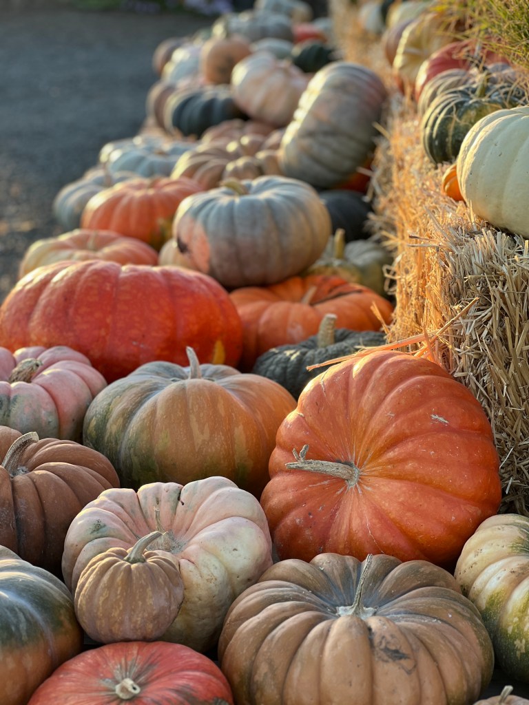
We followed the path of the Oregon Trail, through meadows of dry grasses and sparse pine and immense swaths of wild sunflowers. Here and there a glimpse of dirt double track cut through the hills, and one could imagine the thoughts of those earliest pioneers on seeing this vast, endless landscape.
After a long day’s drive, we arrived at our next Harvest Host site in Jerome and discovered we had been spoiled with Frog Hollow. As I write, we’re backed in to a large garage on a 5 acre property with a few apple and pear trees. Our host is outside with a loud power tool carving at a piece of wood and two pit bulls eye us suspiciously from their chain link pen when we step outside. Even Phinn is well behaved tonight and looking forward to leaving tomorrow.
Sky to Sea to 7763
Thursday, July 13 and Friday, July 14
The smoke remained thick at Prince George, and we left before 7 in search of better climes. I walked the pups around our pastoral campsite before we left, and the sun burned bright orange through the aspen leaves and suffused the forest and it’s delicate wildflowers in a soft coppery light. There’s beauty to be found even in destruction.
Listening to CBC as we drove, we learned that we were in the area of the worst air quality in all of Canada at the moment, and that’s saying quite a bit with the number of fires burning.
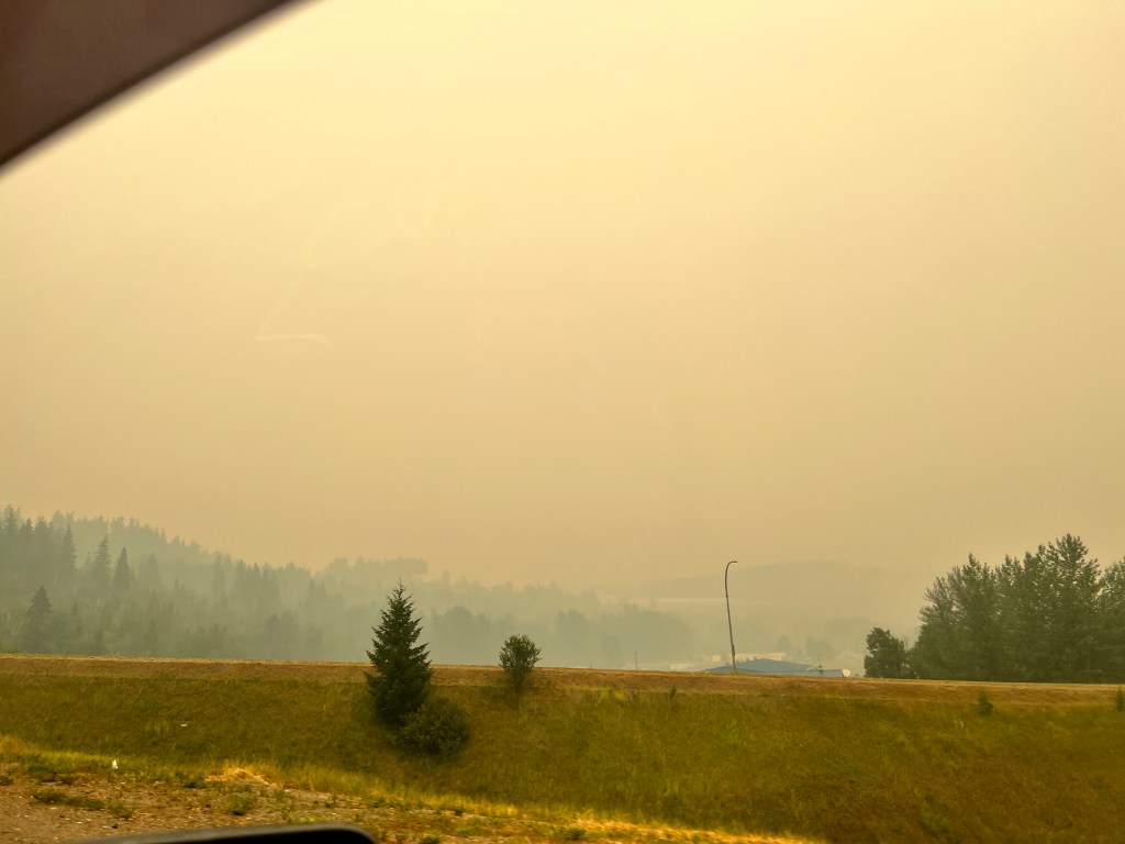
The air cleared as we drove south, and when we reached the southern Cariboo valley at 100 Mile House, you wouldn’t suspect how bad it was 200 miles north. Open fields and ranches of rolling golden hills were a welcome airy change from the claustrophobia of smoke, and we stopped at the historic Hat Ranch to exercise the pups and decide our next move.
The ranch dates from the 1890s and sits on part of the original Cariboo trail used at the time to run stagecoaches and supply wagons to the interior. As we walked, one of the restored stages passed us, taking tourists along a portion of the trail that still exists.
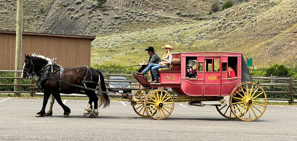
The original roadhouses watch over the scene – sloped roofed with deep, shady porches loving restored and decorated with inviting chairs and flowers. A peaceful place to plan next steps.

We could take the tried and true route we took up, through the Fraser River Valley and across the border at Surrey, or we could try a new route, the Sea to Sky highway that extends from Vancouver through the Costal Mountains to Whistler. Intrepid travelers that we are, even homeward bound, we opted for the latter.
This road, like those before it, was no joke towing a trailer, and despite the amazing scenery we soon felt we made the wrong choice.
The Fraser River Canyon continued with high desert scrub with the occasional unexpected waterfall that looked like something our of paintings of the early American West. Steep drop-offs on the north side of the highway made for a hair raising ride and a very sharp turn under a single lane bridge with a 15 foot clearance before the small town of Lillooet made us appreciate Boo’s small size. As a large 5th wheeler passed us going the other way, we said a prayer for them.
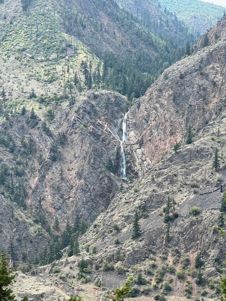
Cresting a pass, the scenery changed to more familiar spruce and hemlock and the snow-capped coastal mountains unfolded in all their glory. We passed a bonus black bear (we had both bet zero on this smoky day) and descended a 16% grade during which Boo’s brakes failed and she pushed Junior scarily downhill.
Suddenly we were in the chaos of Whistler in summer and 8 hours into our drive, and for the first time this trip, we had difficulty finding a place to camp. Passing campground after campground with wooden “full” signs affixed, we were starting to panic. A kindly young Croatian with a waxed handlebar mustache took pity on us, and gave us the last “overflow” site at the Whistler RV Park.
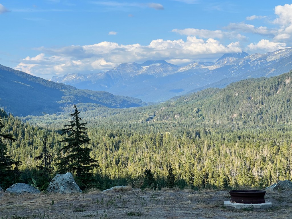
And what a site it was! Sitting high above the valley, expansive views of the Coastal Mountains surrounded us, and we were steps from a snowmobile trail that allowed us to walk our rabid pup away from other civilized dogs. We all relaxed and spent a lazy evening in this lovely place.
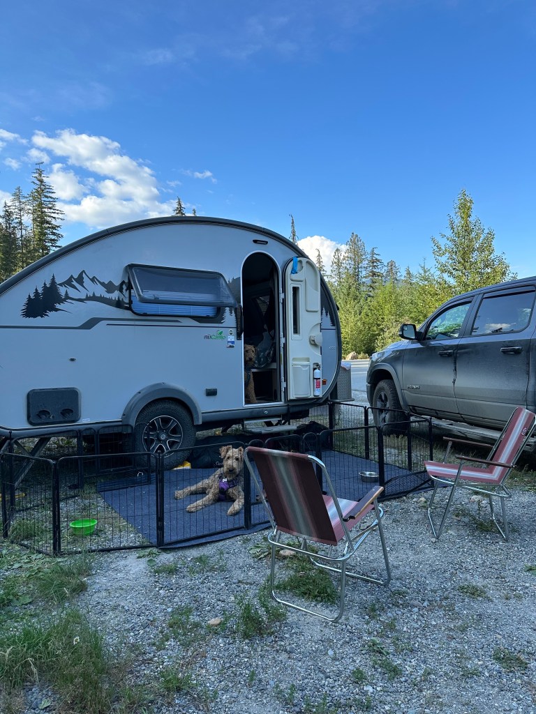
Up early the next morning for a homeward push, I walked the pups down the snowmobile path. The valley below was still in shadow but the sun filtered through the trees and spotlit the fireweed. Birds sang all around and squirrels scurried through the underbrush. All was peace, and I reflected on our trip, this summer and the world with gratitude. That is, until a small terrier appeared around a bend and Phinn raced around me in the soft, powdery dirt, resulting in a cyclone of dust. With that, I was ready to head home.
As we wound our way out of the mountains to Vancouver, the beautiful Howe Sound appeared to the west, dotted with sailboats and BC Ferries, illuminated a brilliant white in the morning sun. We teased that if ever we got the urge to drive to Alaska again, we should just drive this highway-the scenery was just as beautiful as anything we had seen and within a day of home.

We entered the hustle of Vancouver traffic, waited in an interminable line at the border and again in the Friday afternoon Edmonds ferry rush.
As we slipped out of the dock I looked down at my forget-me-not blue toenails, now a mottled mess thanks to liberal applications of DEET. A grainy, golden celluloid of memories mixed with the late afternoon sunshine.
As we pulled in to the driveway, at mile 7763, we were overcome with gratitude to have safely completed such a wonderful journey. And for Phinn’s pal Gunner, who was waiting for him the driveway.
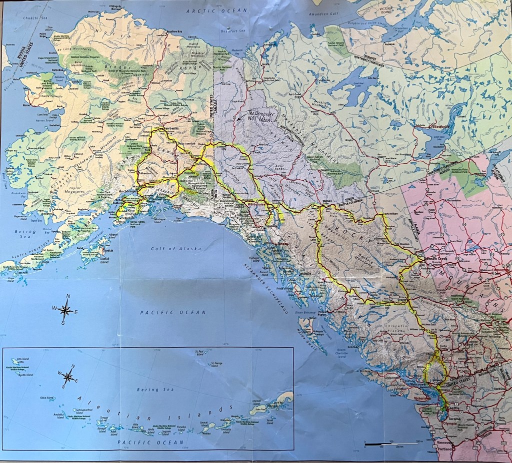
A Long, Confusing Day
Wednesday, July 12
Phinn woke us twice last night by jumping on our chests and pounding us with his front legs. He’s been struggling on multiple levels and we’re looking forward to getting him back home where there will be more stability. In retrospect, it wasn’t the best idea to take such a young pup on the road and we’re blaming ourselves for his angst.
With that in mind, and with tales of 331 wildfires burning throughout BC, most in the central area we have to traverse, we set our to drive as much as we could to push through the majority of the smoke.
We stopped for breakfast, which has traditionally been our one big meal of the day when we plan on longer drives. Given the lack of options of the Cassiar Highway, we ended up eating at a camp restaurant that served the workers for a nearby mine.
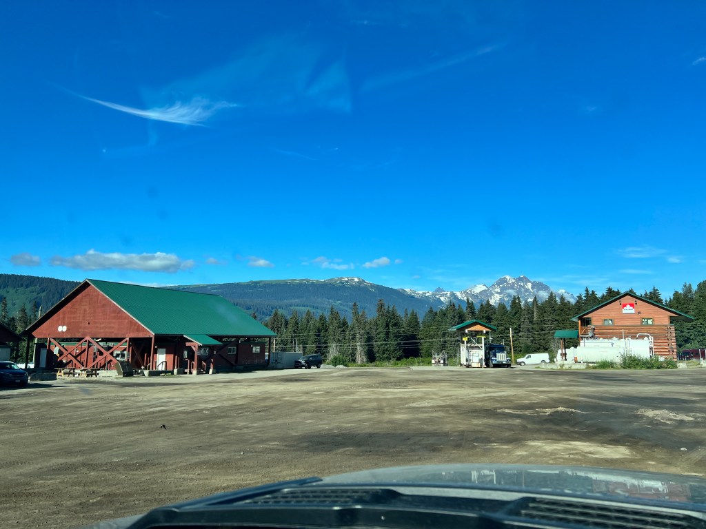
Situated in two large shipping containers under a peaked roof structure, it’s quite bare boned. You enter into an industrial kitchen, where you queue at a cafeteria-style grill and order off the whiteboard from whatever they happen to have that day. It was staffed by a First Nations elder, who served all functions, and joked companionably with the local workers. He was very gracious to us, and produced one of the best breakfasts we had to date. He proudly urged us to look around at the depictions of First Nations art on the walls of the dining hall, but when I asked him what one of them meant, he became embarrassed and confused. He didn’t know.
Thus fortified, we drove the remaining 95 miles of the highway, stopping only once to visit the one of the largest collections of standing totem poles in BC at Gitanyow Historic Village.
This First Nations village sits a few miles off the highway, and is a strange mix of slowly decaying homes where children played amongst rotting mattresses, tattered baby strollers, wrecked cars and overturned truck campers. In the middle of this sat a beautiful cedar longhouse that housed a museum with twenty beautifully carved totem poles scattered about outside on a green lawn. The longhouse looked very inviting, and the foyer was supported by more beautifully carved cedar poles. The doors, however, were locked and a yellowing sign apologized to tourists, saying the building has been repurposed and was no longer a museum. As I turned to leave, there were broken lawn chairs and rusting barbecues piled against the walls.
With much to think about, we turned left at the Yellowhead Highway heading southeast towards Prince George. The snowy coastal range was in sight for the first hour, and the land widened to farms with rolling fields dotted with golden hay rounds. A lovely pastoral scene.
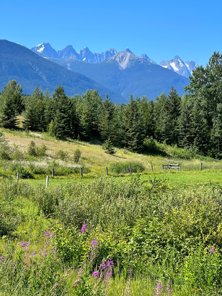
Then the smoke began. We checked the Wildfires BC app as we were gloriously back in cell phone range, and there was a disclaimer that given the number of wildfires burning, they could not accurately predict/update conditions. As Prince George looked mostly clear, we decided to press on another 200 miles.
The smoke became progressively worse again, and unfortunately by the time we got to Prince George, was the thickest it had been all day. All four of us had maxed out on driving, so instead of our favored provincial parks, we opted for an RV Park where we could keep sealed with AC and avoid the worst of the smoke.
The staggering number of fires, the profound areas of prior burn and spruce bark beetle kill, the rapidly retreating glaciers, the overall lack of animals and our strange experience with First Nation culture today gave us pause.
In some ways, this trip has felt like a farewell tour-farewell to the world we knew as children as we sit on the cusp of profound climate change. We will have much to ponder on our 400 mile drive to escape the smoke tomorrow…
The Cassiar Highway
Tuesday, July 11
After our celebratory lunch, we turned off on highway 37 south into BC, known as the Cassiar Highway. This is a 450 mile stretch from the Alaska Highway south to the Yellowhead HIghway, and provides us with a different route home. We really enjoyed our trip north on the Alaska Highway, but once was enough (with the exception of Liard Hot Springs).
Taking a sharp right hand turn in the thick smoke, we waved goodbye to the Alaska Highway and drove smack into another one of those annoying signs to check the website for possible closures ahead. Of course, we had no cell service. As this is a long and isolated stretch, we decided to ask those we saw who were arriving after transiting. Two women in an Earth Roamer told us it was “easy-peasy,” so we headed on.
We passed cyclists in masks chugging through the miserable air, and thought back to our lunch at The Wolf’s Den. The place seemed to be on the itinerary for cyclists and they had 5 large thinly ruled white boards of all the cyclists who had come through since 2022-turns out there are a large number of Europeans who cycle from the Arctic Circle to Cape Horn. They listed how long the cyclists had been on the road, and one couple was entering their 20th month! We’re entering week six and glad to be heading home…
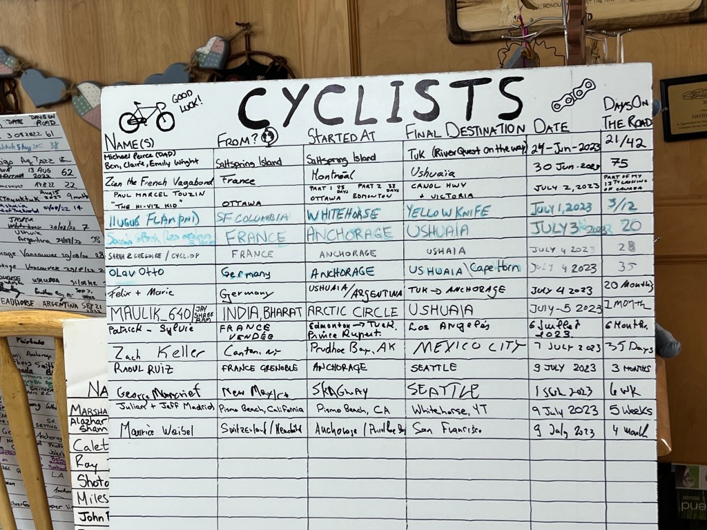
The “highway” is little more than a slightly-wider-than-one-lane unmarked strip of pocked pavement that began life as a supply road for the Cassiar Gold Rush of of 1872-80. The gold played out, as it seems to do everywhere, and the fortune seekers raced off to the next big thing, leaving ghost towns in their wake. Other than a very few sparsely populated First Nations villages without services, this was a very lonely stretch of road.
The smoke soon became so thick it was difficult to navigate. We saw a series of stationary red taillights in the distance with signs for a flagger and worried we would be turned around, but gracious BC was providing pilot cars to guide drivers through the worst of the smoke. The pilot car even picked up the cyclists and gave them a ride so they didn’t have to breathe the worst of the air.
Things improved the farther south we drove, and when we reached the provincial campground at Boya Lake, an aquamarine jewel amidst aspen and pine, we could breathe easily again. We spent a lazy evening basking in the filtered sun and hiking the trails around the lake.
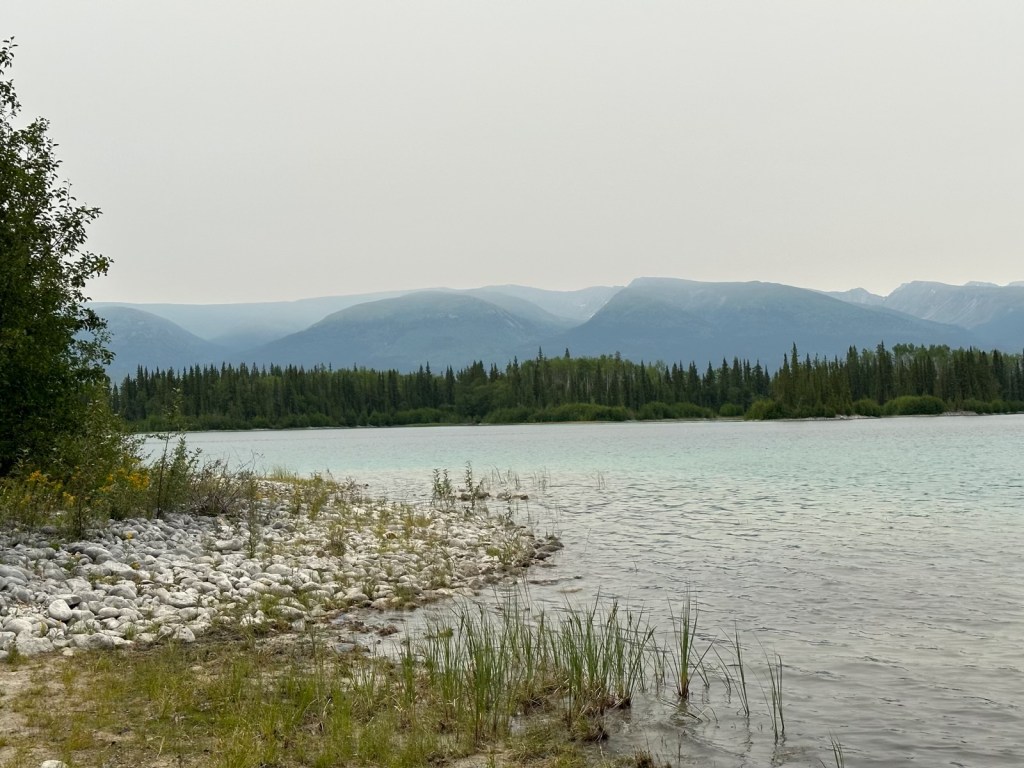
Morning brought birdsong and the papery peace of the wind through the aspen. The air remained clear and we set out excited to see the surroundings we couldn’t the day before.
The road continued to be almost worthy of the name, with large, unexpected potholes and no shoulders.
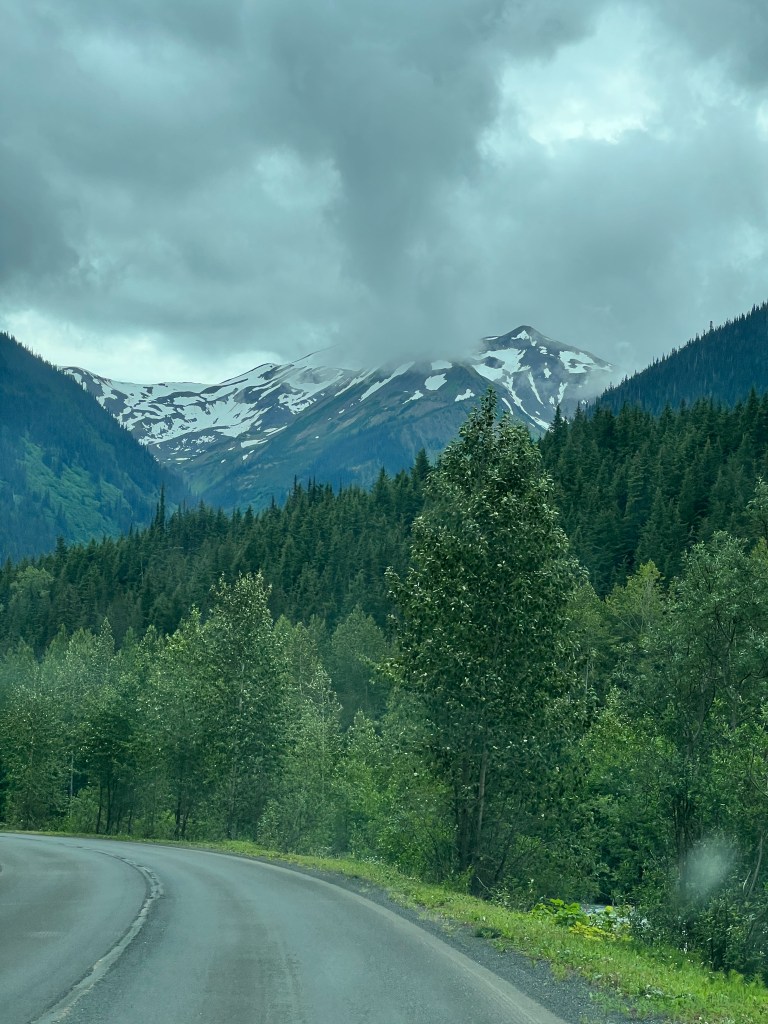
We passed beautiful alpine lakes and rivers, then the sun came out and it was as if summer decided to throw a party. Black bear peeked from soft grasses at the side of the highway, a fox in her best red coat sauntered across the road and wildflowers bloomed in such profusion that the landscape came alive in a confetti of pink, yellow and white. Steams arrived trailing veils of white as they burbled happily over the rocks, and all around the Coast Mountains danced, blue glaciers sparking in the sun.

Pulling in to our campsite, above the umpteenth aquamarine lake of the day, we felt very grateful to have been able to see this part of British Columbia. Not an easy road to travel, but definitely one of the most beautiful we have seen.
The Yukon’s Glorious Goodbye
Monday, July 10
After another Phinncident last night with a well-behaved young doodle camped behind us, we slunk out of camp early.
The wildfire smoke had intensified overnight, but luckily the highway we had planned to take was back open. We drove east, leaving the craggy young mountains of the coast for the more time-weathered and rounded peaks of the interior. Fireweed bloomed in huge swaths of pink by the roadside, and the highway was easy going and smooth.

We placed our daily wildlife bets as to how many moose and bear we would see-this has been an ongoing tradition, though we’ve become somewhat jaded by the numerous days in Alaska without any sightings. Feeling optimistic, I placed my bet on one small black bear. Erich stuck with zero, which has to date been the wisest choice. The loser typically buys ice cream.
The smoke thickened as we drove east, and we wondered about the validity of the report of open highways. Maddeningly, roadside signs flashed “wildfire alert, check for highway closures at wildfires.ca.gov” in areas that had absolutely no cell signal.
Just as I was becoming irritable about that, a small black bear appeared 100 yards off the road, then another, much closer, maybe 10 yards away. We stopped, as the confused young bear looked like it wanted to cross the highway and we were worried about it getting hit. Erich honked the horn to get it to run back into the woods but it kept walking towards the front of Junior…until Phinn woke up and began barking. It turned tail just by our right front bumper and made it safely back to the woods.

Phoebe, lovely lady that she is, has been very well behaved during our wildlife sightings. She’s been looking out the window the entire trip, and really seems to enjoy just watching the scenery go by. Phinn, in contrast, is the school bully. He lies sleeping and when awoken, barks madly at anything he thinks he sees. The really funny thing is that, while the black bear turned tail and ran, the grizzly we saw the other day didn’t even look up from grazing to acknowledge him as he was flinging himself at the door about 20 yards away. Guess you know when you’re at the top of the food chain.
Shortly thereafter, a leggy moose trotted across the highway, another black bear scurried into the roadside brush and we spotted a beaver swimming in a glassy lake. A banner day for wildlife…but wait, there’s more! I was driving and saw silvery black movement in a meadow 20 yards off the highway. It took me a while to process what I was seeing…dog, huge coyote, wolf! We saw two enormous black wolves with frosted silver backs, legs and tails loping through the meadow.
We had talked about this trip being a North American Safari, and seeing the big five: bear (both black and brown); moose; caribou; bison and wolf. We never expected to see a wolf, and thought the best we were going to do was a wolf by proxy- a grainy iPhone picture from one of our fellow campers who saw one in the distance on the Dempster Highway. But, with the unexpected and delightful sighting, we had seen all the wildlife we hoped to see.
At the turnoff to the Cassiar Highway near the entrance to BC, we celebrated with a Yukon Gold beer and a burger at…wait for it…The Wolf’s Den! The Yukon was sending us off in style.
Cheechakos & Sourdoughs
Sunday, July 9
Driving into Whitehorse felt like coming home. We had spent several days here on the trip up and really liked the city. It also marked the end of our circular route through the north Yukon and Alaska, and we couldn’t help but reflect on all that we’ve seen since we’d last been here.
Many RVs were driving up the highway as we were coming down, and we envied those cheechakos all the adventures they were going to have.
From the days of the gold rush, “cheechako” means one newly arrived to mining country and “sourdough” one who has lasted a winter (mainly by eating bread as all else was scarce).
Though I doubt we could last a winter, we nonetheless felt seasoned by all that we’ve experienced, and so grateful we were able to do it.
We settled in at a nicer RV Park to regroup, do laundry, and truth be told, get electricity for our AC. No true sourdough would need AC, but there’s been a heat wave in the Yukon and it was 97 degrees in Boo yesterday. It’s challenging enough with all of the pack inside, and if two of the four of us are panting uncontrollably, things get tense.
We slept in, for us anyway, until 7 this morning and then Phinn and I left for a walk to give Erich and Phoebe some down time.
Wildfires have kicked up in the area again, and though no smoke was visible at camp, as we descended into the Yukon Valley all was hazy. We parked by the old Klondike sternwheeler and strolled the shores of the Yukon in the golden filtered light. The river was running high, as no doubt the high temperatures continue to melt snow and ice in the mountains. It ran a beautiful jade, and whispered around the wooden pilings still standing from the old docks for the sternwheelers. The bells of the old log church rang over the town, and all was dreamy peace. Almost.
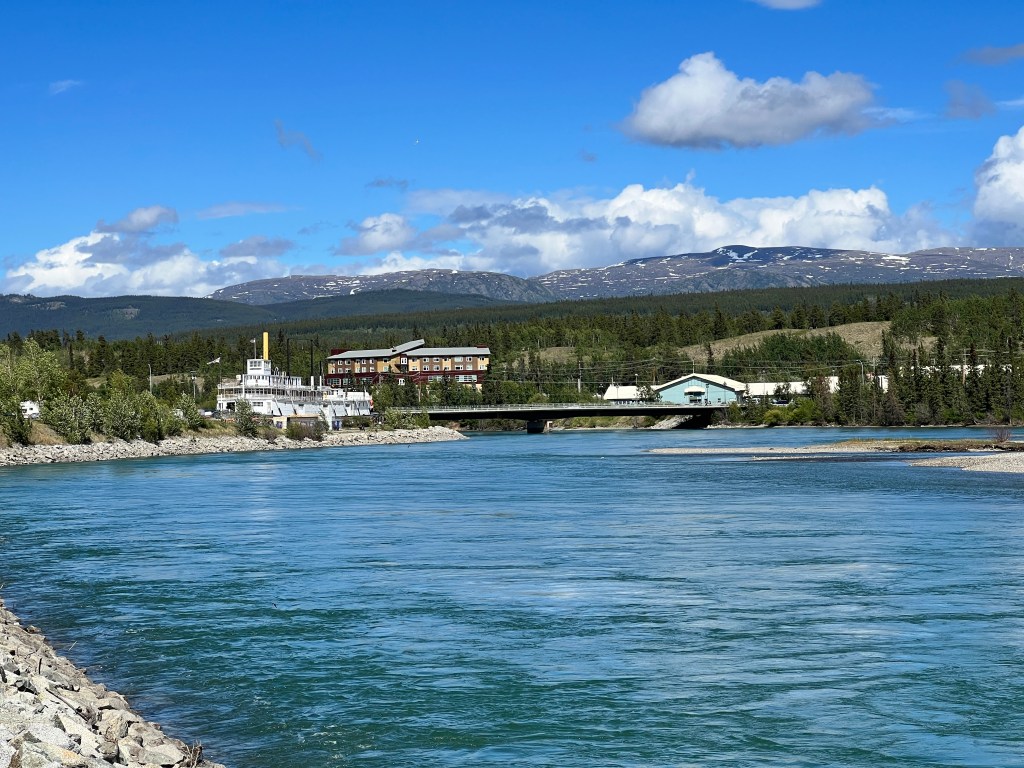
Few were out this Sunday morning, but we did meet Kass, a 14 year old retired sled dog, and her owner. Phinn did his usual Tasmanian devil act. Kass was unimpressed and wanted nothing to do with him. You could almost hear her say “just another ill-mannered puppy,” as I apologized to her owner.
Other than Phinn’s shenanigans, it was a wonderful walk and lovely goodbye to Whitehorse.
We returned to camp where Phoebe and Erich had enjoyed a quiet morning themselves. The weather was predicted to be very hot again, so we decided to take a field trip to the small town of Atlin, B.C.
Atlin lies about 100 miles southwest of Whitehorse, on the shores of the largest lake in B.C. and was the site of, you guessed it, a gold rush back in 1898. The gold played out quickly, but it remained a popular tourist destination for Vancouverites for it’s natural beauty until the Great Depression.
Lake Atlin is a clear turquoise stretching to the base of the many mountains that surround it, and studded with islands of pine. The old wooden steamship Tarahne is beached at Brewery Bay, and is still a classic white beauty. One can imagine her plying the waters on a midnight cruise to view the glaciers by moonlight.
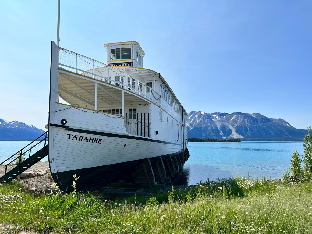
We watched floatplanes take off, threw a stick in the water for the pups and ate ice cream in the shade of the Tarahne’s hull. A lovely afternoon.

As we prepare to head south tomorrow, we were thinking of taking a different route- the Cassair Highway. We had hoped not to backtrack on the Alaska Highway too much and experience a few new things on our trip home, but the fates are not with these old sourdoughs. A wildfire has shut down the highway, and several others have sprung up. It seems we may be lucky to get south at all.
Bites & Black Spruce
Friday, July 8 & Saturday, July 9
A soft, peach sunrise arrived at Grizzly Lake around 3 am, along with Happy and a swarm of mosquitos.
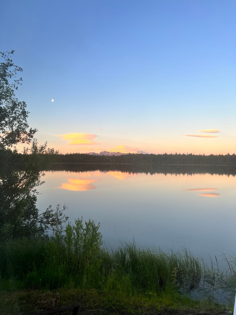
I’m tired of thinking about mosquitos and no doubt anyone who reads this is tired of hearing about them, but these Alaskan mosquitos are really evil! They call them the state bird, and one of the earliest naturalists and explorers of the Yukon, and the namesake for Dall sheep, William Dall, characterized 4 different types with the addendum: all are distinguished from the civilized species by the reckless daring of their attack.
We’ve looked up online and read mosquitos can’t bite through clothing, but in an experiment I will not repeat, I went out with my long-sleeved shirt and wearable mosquito suit over it and allowed them to land on me. I watched them bite through both! I don’t know how much blood our pack has lost this trip but I’m guessing it’s substantial. Pity the poor moose, who sans DEET can be drained of a pint a day.
With such a beautiful sunrise Erich went out to take pictures, knowing he would pay the price-darned if the little buggers didn’t get him in both eyelids and his shutter finger! Sometimes we must suffer for our art…
We left Grizzly Lake in a hurry, and imagined the swarm trailing us out the driveway and down the lumpy highway.
The landscape became less alpine and more a forest of stunted black spruce, which the Russians call “taiga.” I’d read this term in many Russian novels, but never knew what it meant.
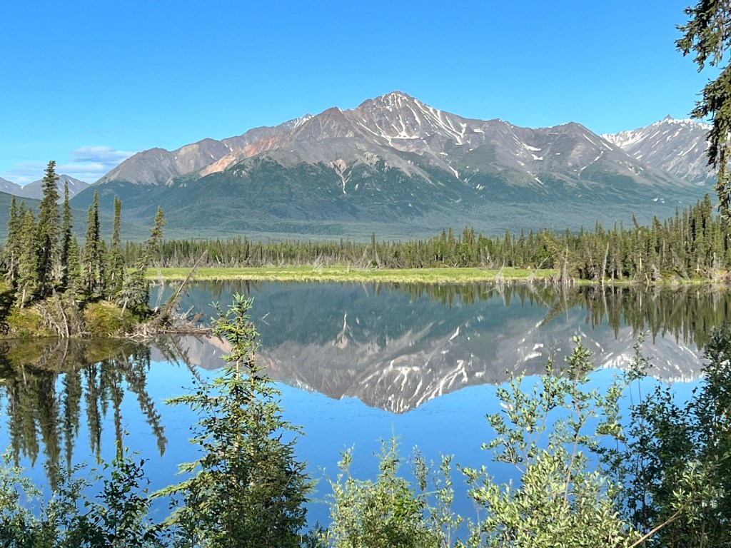
Because of the permafrost in the area lying just beneath the surface, things have a difficult time growing. One of the few things that can are black spruce, which are pretty physically unappealing – imagine black and dark green pipe cleaners. They spread their roots above the permafrost, and grow very slowly, such that a tree with a trunk 2 inches in diameter can be a hundred years old! With the temperature variations, from -70 in the winter to over 100 in the summer, the land can liquify and many of these trees tilt over, resulting in what’s called “a drunken forest.”
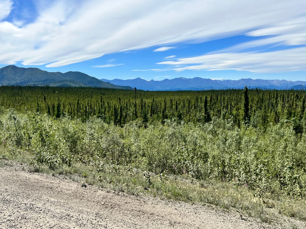
We learned to read the land on our long drive from Grizzy Lake to Whitehorse. If there are many black spruce, especially drunken ones, there’s going to be very rough driving from frost heave of the highway. This allowed us to slow down early and avoid the damage that we saw strewn all over this part of the Alaska Highway, from a graveyard of blown tires to some really scary looking wrecks.
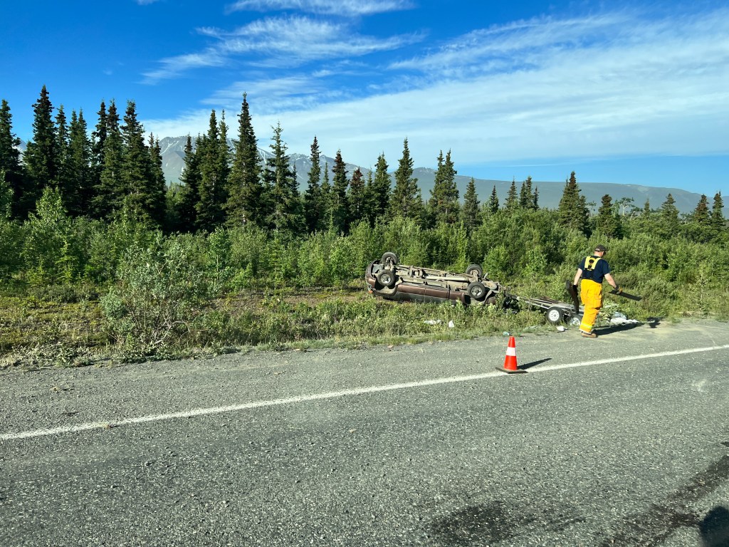
It was a strange trip over a. strange landscape-the crazily tilted trees and vehicle carnage in the foreground and the stunning St. Elias peaks in the background. We overnighted at an oasis of an RV Park in the middle of nowhere run by an Italian family and had an odd breakfast at a Chinese restaurant in Haines Junction – we were the only patrons and interrupted the owner’s virtual Tai Chi class. He served us happily, and continued with his class while we ate.
Listening to “Yukon Today” radio we learned that the gold panning championships were being held in Dawson City, as were the “Hand Games” championships. I wished I could have witnessed the first, and knew nothing about the second, but the musing of what it could be entertained us for a few miles.
We saw two grizzly after we crossed into the Yukon after seeing not a single bear the entire time we were in Alaska. Perhaps the woman complaining about the lack of hunting regulations had a point?
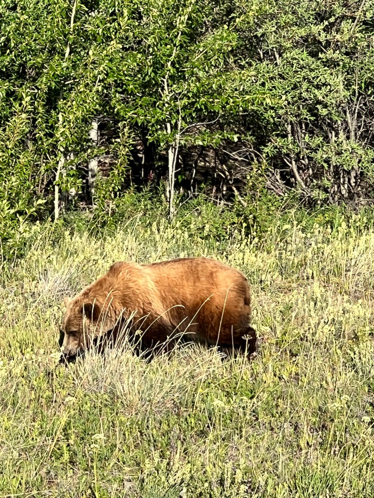
We bumped down the road to Whitehorse, thinking about our time in Alaska, scratching our mosquito bites and watching the landscape of black spruce with a new appreciation.
Phinn’s “Happy” Place
Thursday, July 7
Heading out the next morning, we crossed our fingers that we wouldn’t run out of diesel and jam up the highway. We made it to Jake’s Lake where another above ground tank sat with an alluring green handle, meaning diesel! The clerk paused his conversation with a local woman, angry that all the bear and moose were disappearing due to the loosened hunting regulations. We hadn’t seen a single animal, so we were inclined to agree with her but kept mum. The clerk told us that, while there was diesel, the pump runs very slowly.
After standing for 15 minutes to get 5 gallons, we decided this was enough to get us to Glennallen, and a proper pump. When Erich went back in to pay, the clerk said “yeah, it’s pretty slow. We haven’t changed the filters in a while.” Yikes!
We stopped again for gas at a Tesoro, this time with all the true Alaskans heading to the backcountry. They all sport a similar rig- a jacked up truck with a trailer in tow, loaded with dip nets, fishing rods, an ATV with a gun box, and sometimes a boat. The roads are marked with “Subsistence Hunting Allowed” signs, and I’m sure a large part of the diet of this rugged crowd is self procured hoof and fin. We would starve.
Taking the Tok cutoff around the north side of Wrangell-St. Elias park, fireweed replaced lupine at the roadside and the full expanse of the Wrangell Mountains became visible, reflected in countless lakes. The road was another roller-coaster affair, and the driving quite slow and demanding. With the sun so high overhead the undulations of the frost heaves are tough to see, and the poor pups were knocked down several times.
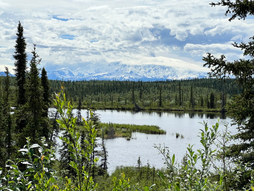
Midway to Tok, we decided to stop for the night and explore the other road into the park, the Nabesna.
We got a beautiful campsite right on the edge of Grizzly Lake with an expansive view of the mountains and set out on the drive.
Another dirt road wound deep into the park, though this time the views were lovely but not spectacular-not as good, in fact, as those we had at our campsite. We came to a fairly deep water crossing, and remembering yesterday’s tow truck, opted to turn around.
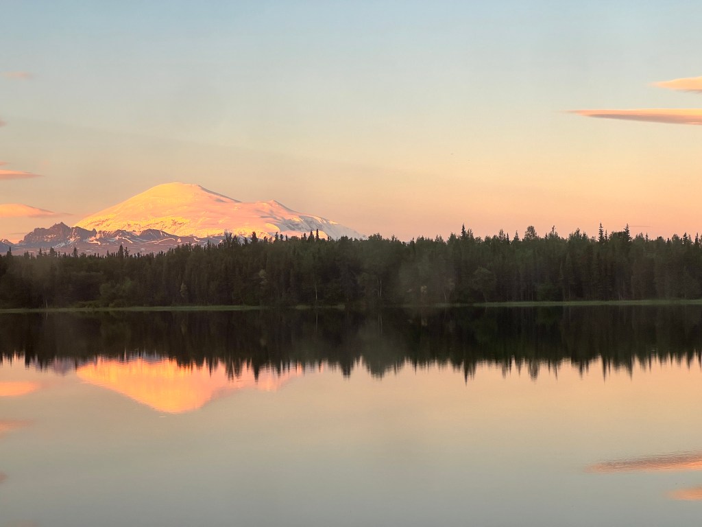
Back at the campsite I took the pups for a walk. An enormous white dog approached us and Phinn began barking like a madman, as usual. As the dog was off leash and about my weight, there was little I could do to keep the two apart. They met, and started a spectacular bromance that continued for the rest of our stay. Turns out the huge fellow was the resort owner’s 4 month old Grand Pyrenees pup They cavorted the afternoon and night away in the pristine wilderness, jumping in and out of the lake and wrestling in the grass and dirt, until the hulking white pup was a dusty brown.
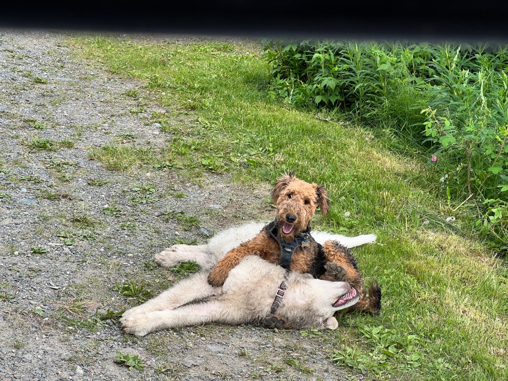
The owner, Kathy, came down to retrieve him and apologize. “No need for any apology,” we told her, “It’s the most fun Phinn has had the entire trip!.” We asked his name, and were delighted to learn it was “Happy.”
The Spruce Wireless
Wednesday, July 6
When we lived in Hawaii, they had a name for how people got information by word of mouth: The Coconut Wireless. As we’ve been out of cell service for the majority of our trip, we’re learning there’s a similar patten here.
We left our campsite in a thick fog and crept over Thompson Pass with maybe 30 feet of visibility. Descending, the fog melted away and we were in bright sunshine surrounded by snowy peaks and glaciers.
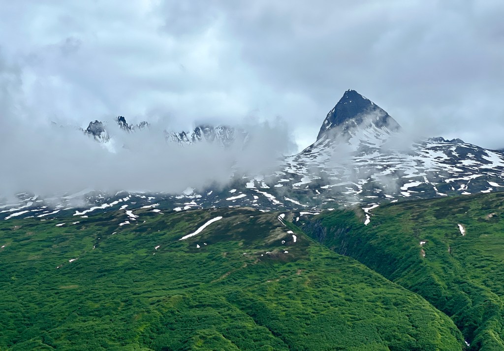
We bumped down the highway, stopping three times to await pilot cars. There are two seasons in Alaska, one of the flaggers told us: winter and highway construction.
Stopping at the Visitor’s Center for Wrangell-St. Elias National Park, Erich overheard talk of an old copper mine in the park that you could tour. It meant backtracking about 20 miles and then a trip down a sort-of paved road to the small town of Chitina, and then 69 miles more down a dirt road to the town of McCarthy and the Kennecott Mine.
Again, one of the pleasures of no itinerary is instant change, and so we found ourselves headed deep into the wilderness of the Wrangell-St. Elias National Park and Preserve.
It continued gorgeous and sunny, and all the mountains were out in their snowy finest-we were surprised to learn that the park, the largest in the US, is the size of Switzerland and contains higher mountains! In fact, 9 of the 16 highest peaks in North America are to be found within this park’s four mountain ranges. The largest of these, Mt. Wrangell, is an active volcano four times the volume of Mt. Rainier and is 14,163 feet tall.

There are only two roads that run into the park, and the majority of it has been left as pristine wilderness. Both roads were developed by different mining concerns, of course, this being Alaska. The first, in the north, the result of the last great gold mining boom at the Nabensa Mine, runs 39 miles into the park. The other, which we were taking, is called the McCarthy road, and follows the path of an old railroad developed to serve a copper mine active from the early 1900s through 1938.
The story is another epic Alaskan tale of overcoming the odds. One of the richest copper deposits ever found was smack in the middle of the Alaskan wilderness with no way to move the ore out. One visionary mining engineer, Stephen Birch, thought he could build a railroad to move the ore to the Copper River, and then downstream to the port at Cordova.
It was named the “Copper River & North Western Railroad”, and doubters at the time called it jokingly the “Can’t Run & Never Will,” as the challenges of getting it up and running were huge.
In 196 miles it had to span glaciers, rivers and mountains. The work on the railroad continued for four years, year round, and ultimately served the mine for decades.
We arrived in Chitina and set up camp outside town on the banks on the Copper River, famed for it’s salmon run. As the sockeye were running, the camp was abuzz with dip netters and their ATVs, and smelled quite strongly of fish.

As we needed both lunch and diesel we headed back in to Chitina, which was advertised as having both. At the NPS Visitor’s Center, we found the best place for food was the general store, off the beaten path overlooking a lake. In an old, one-roomed log cabin sat a jumble of Costco goods and ice, presided over by a very direct proprietress. We purchased out of date nuts, and Erich tried to engage her by asking how the salmon were running. “I’m not selling any ice, so that should tell you.”
At the 24/7 gas station, an unattended above ground tank in a weed-strewn lot, we learned the diesel pump had broken and no diesel was available. This was a problem, as we didn’t have enough to complete the 69 miles and haul Boo out the next morning. After careful consideration, and passing a huge semi-sized tow truck heading out the McCarthy road, we decided to only journey half way.
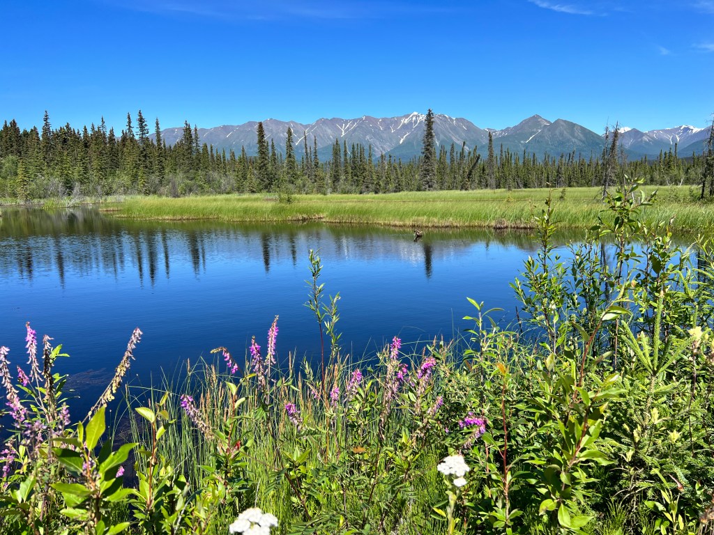
The scenery was stunning-the Wrangell Range in the distance, and many rivers, lakes, lily ponds and one very high, very narrow, very old, wooden bridge that spanned the Kuskulana River. Evidence of the old railroad surfaced here and there, old trestle timbers peeking up from the dirt like deadheads. We passed the tow truck, evidently called in to relieve a smaller tow truck that couldn’t handle the job of winching up a Winnebago that had launched off the road into an aspen grove. Traffic had been stopped both ways as they worked, and the distraught owner watched with his hands on his head. The RV was extracted and the taciturn tow truck driver responded to Erich’s “good work,” with a “Happens all the time. They shouldn’t be driving RVs on this road.”
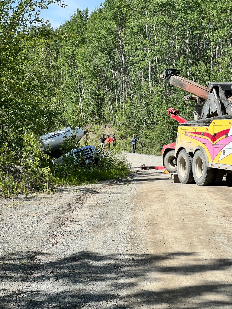
We headed back to camp and found our neighbors, owners of a tricked-out version of Boo that they lived in full time, awaiting our arrival to talk trailer. They had some wonderful suggestions for improvements, and had suffered some similar setbacks. They ran into the same couple we did in Whitehorse, who had taken their trailer on the Dempster Highway after we met them, like we were going to but opted against after seeing so much carnage at the campsite in Dawson City. They told us their trailer had been destroyed by the highway, and that they were devastated. We are hoping to get in touch with them when we have reliable cell service.
It’s strange how news does travel in these parts-by word of mouth, talking to locals, inference from what you see on the road. We imagine it was like this in the days before easy communication and find it kind of fun to be out of e-touch and into the local rhythm of the Spruce Wireless.
A Rainy Day In Valdez
Tuesday, July 4
We broke camp early and scurried out of town before another gregarious resident could urge us to stay. Part of the beauty of this trip is the spur-of-the-moment decisions we can make, and we decided, since we were so close, we would visit Valdez.
One of the few ports in Alaska that does not freeze in the winter, Valdez has played a large role in Alaskan History. The First “All American” route to the Fortymile and Fairbanks goldfields began here in the late 1800s, and it’s a different kind of gold that travels the 800 mile pipeline from Prudhoe Bay to Valdez to be shipped south these days.
The Richardson Highway to Valdez is a roller-coaster affair that skirts the pipeline in places, and looking at the shimmering silver ribbon making it’s way through the trees, it seems an amazing feat of engineering to build it in the first place, and a miracle that it doesn’t rupture given the elements to which it is exposed.
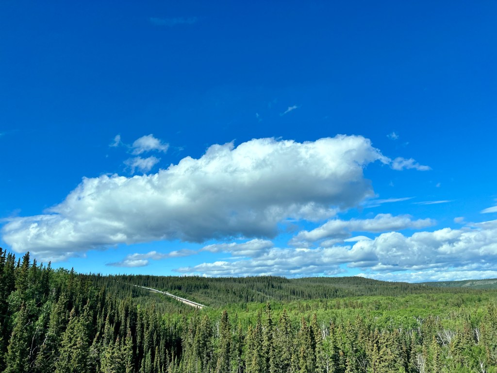
As we wound up the highway to Thompson Pass, all was cloud and mist, with only an occasional glimpse of the mountain peaks and glaciers. We had heard that Blueberry Lake campground was one of the most beautiful in the state, perched on a ridge surrounded by the Chugach Peaks, but we could have been camped on a prairie for all we could see. We dropped off Boo and headed into Valdez, eager to investigate this historic town.
Descending below the mist, emerald cliffs emerged and we threaded through Keystone Canyon, a neatly sliced channel with brown, cubist-appearing walls sprouting green moss and waterfalls. Some of these falls were large enough to be named – Bridal Veil and Horsetail – and reminded us of the road to Hana on Maui. Totally unexpected.

As we entered Valdez, the hazy blue glacial bay was dotted with islands and surrounded by mountains whose tops remained hidden, but hinted at grandeur. The only detraction from this otherwise beautiful scene was the large, concrete oil storage facility that had been built on one of the islands and the waiting tankers in the bay.
It began to rain harder as we approached downtown, a combination of gravel parking lots for RVs, dilapidated trailers and a scattering of food trucks. The small marina was nice, and entirely geared to fishing, with cleaning stations every 50 feet and no nonsense trawlers.
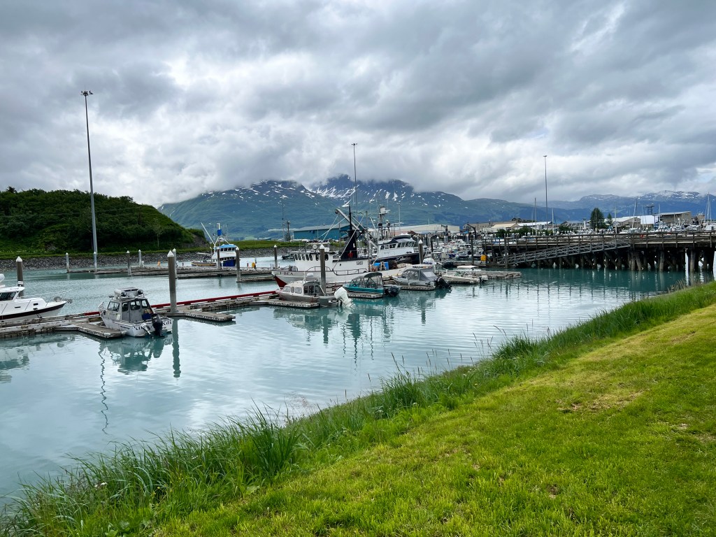
20-something men in steel-toed Xtra Tuff boots, oversized hoodies and scraggly long beards wandered the town and dock, and played loud music from the vessels in dry dock. This was clearly a gritty maritime town and a young man’s game.

We ate an overpriced French Dip at the only restaurant we could find, wandered the dock with the dogs, and drove around town to see if we had missed the point. I read that this was actually “New Valdez,” the old (and presumably more interesting to non-fishermen) version having been a casualty of the 1964 earthquake. Well, at least we know what Valdez is about.
Back in Junior, we decided to explore Worthington Glacier, which sits about 30 miles outside Valdez back towards our campground. This ended up being the gem of the trip-a glacier accessible by man and beast, with a cobalt blue tunnel at the base surrounded by turquoise flakes and sky blue ice boulders scattered down the thundering stream of glacial melt. We waited out a tour bus crowd and then had the place all to ourselves.

Upon our return to Blueberry Lake, the clouds had cleared enough to give enticing glimpses of the snow covered peaks around. Valdez had definitely lived up to it’s “little Switzerland” billing if not our idea of an interesting town.
Mines, Matanuska & Mayhem
Monday, July 3
Marmot whistles cut through the chilly morning air high in an alpine bowl above Palmer.
Craggy peaks rose all around, and to the south a winding wisp of road led to the verdant Matanuska Valley. We were atop Summit Pass, 20 miles out of Palmer and a world away.

We had come to see the Independence Mine, one of the many gold mines that built modern-day Alaska. This one was rock-based, tunneling deep into the mountains to blast and extract the ore. The operation ran from the early 1900s through World War II, and burrowed 25 miles into the rock. The state of Alaska has preserved the site, and has done a wonderful job with trails and informational signs.
The mine was a community, and employed over 200 men. They lived in the area year round, and a village grew up with children learning to ski and a schoolhouse on site. The harsh conditions didn’t make for easy hiring, so the miners were treated well – movies brought in twice a week, excellent all-you-could-eat food and indoor plumbing.
Many of the buildings have been left to the elements, boards fading to a silvery grey and tram tracks arcing overhead where the soil has eroded away. Ore baskets from the old tramway sprout wildflowers, and marmots bask in the sun atop rusting corrugated tin roofs. Where once was frenzied activity and life, now is peace and contemplative silence.
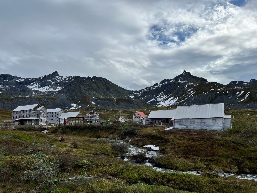
We spent several hours wandering the site and poking around the restored bunkhouse and mine operator’s home, the latter with a huge stone fireplace and small library. One could imagine the cozy evenings curled up with a book in this faraway place.
Back on the road, we headed towards the Matanuska Glacier, one of the few that you can walk to as most require a flight, a kayak/boat trip or a hike of 30 miles. With the pups in tow, none of these option were possible, so we were excited to be able to get closer on foot.
Winding up the valley between the Chigach and Talkeetna Mountains, the scenery was overwhelming. I fear I may be getting immune to beauty, as it is around every turn in this amazing place.
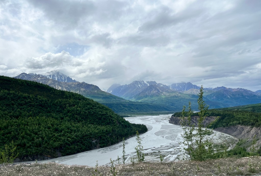
Flat kelley green slopes studded with stubbly dark berry bushes swept up the slopes, and with the sun on them gave the impression of an unseen hand shaving designs into the slopes. Peaks spiderwebbed with snow looked down on the braided glacial river, which widened into long, languid lakes. We rounded bend after bend, stopping often for photos. Then the glacier came into view, an incongruous bright white pushing into the dark spruce forest, it’s flaky blue tip visible from the highway.

We nestled Boo into a campsite and set off to explore the glacier, which was located across the river and down a narrow, winding dirt road on private property that had numerous signs mounted saying “Unsafe Road. No Trespassing.”
When we reached the parking lot, we discovered that the fee to tour the glacier was $150 per person. It is located on private land (hence the signs) and the family does a booming business operating tours with crampons and ice axes. This is the only way to view the glacier, and took two hours. Dogs (leashed and well-behaved) were allowed. We thought about this briefly, and decided that with our crazy pup one of us would wind up in a crevasse. Again, something for next time-the glacier tour, not the crevasse.
Stopping for brisket at a restaurant Erich had read about, we were perplexed by a row of junker cars spray painted with different designs lined up out front. While we ate, several more came roaring in doing donuts in the parking lot. One was adorned with moose horns.
Curiosity getting the better of us, we asked one of the drivers what was going on, and he said, incredulously, “you mean you really don’t know?”
Turns out we had stumbled in to the annual Fourth of July Glacier View Car Jump, a somewhat bizarre tradition that began several years ago when someone discarded a car totaled by a moose strike by running it off the 300 foot cliff behind the restaurant. Now, every year, cars from across the country show up to be jumped off the cliff. This year 17 cars were set to be “launched,” one of them an old mini van donated and decorated by the retirement home residents in the area.
The show kicked off at 2 pm on the 4th, and we were urged not to miss it. They draw a rowdy crowd of 7000 or so from around the country who camp out at the base of the cliff to watch the action.
Back at camp we went for a hike and considered staying. Walking through the blooming arctic rose and aspen overlooking the glacier, we decided that though this “jump” might well be a true Alaskan experience, it was not the one we had come for. U-tubing last year’s jump would suffice and we’ll press on for less rowdy environs.
Turning for Home
Sunday, July 2
The Halibut Derby ended on June 30 and clam season began July 1. The largess from clams not being the same as from halibut, the eagles and ravens began to squabble over the scant remaining pickings. Our campsite was directly in their fight path and they swooped overhead so close you could feel the wind from their wings. We watched a dozen raven take on a huge bald eagle for a tasty entrail, and the resulting noise was so great we thought certainly the fight was lethal.
We had two days of blessed sunshine in Homer, which doubtless contributed to our favorable impression. Long walks on the beach under the midnight sun with the mountains aglow in the distance, the pups able to play to their heart’s content in the soft sand, and our wonderful campsite overlooking a meadow will be abiding memories.
Rain was predicted the morning of our departure, but as I sat and played guitar to an unmoved audience of spruce and devil’s club in our sunny meadow, that felt very far away.
The rain began to patter on Boo at 4 am, and we packed for an early start. We’d reached the turnaround point in our journey and I left with a bit of sadness, feeling our adventure was over.
Navigating back through the Kenai Peninsula and along Turnagain Arm felt both familiar and bittersweet-when would we be back this way again, if ever?
Making our way through Anchorage helped, and we are taking a new route out of Alaska, so maybe there was more exploration to do…
We stayed just northeast of Anchorage in Palmer, and there couldn’t have been a nicer balm for my wanderlust.
Palmer sits on the banks of the Matanuska River, and was the site of a trading post established in 1890 by George Palmer, the town’s namesake. In reading about this, I was surprised to find that his trading post was unmanned – he kept food in tin-lined boxes and sold all manner of dry goods, all on the honor system. He left a box of change, affixed the prices to his wares, and swore he never lost a cent!
Today, Palmer is the breadbasket of Alaska, growing enormous vegetables like a 125 pound cabbage (I suspect our gigantic carrot originated here) in the long days of Alaska summer sun and fertile glacial silt. It sits in a gorgeous green valley abloom with lilac and is surrounded by the impressive peaks of the Chugach Mountains.
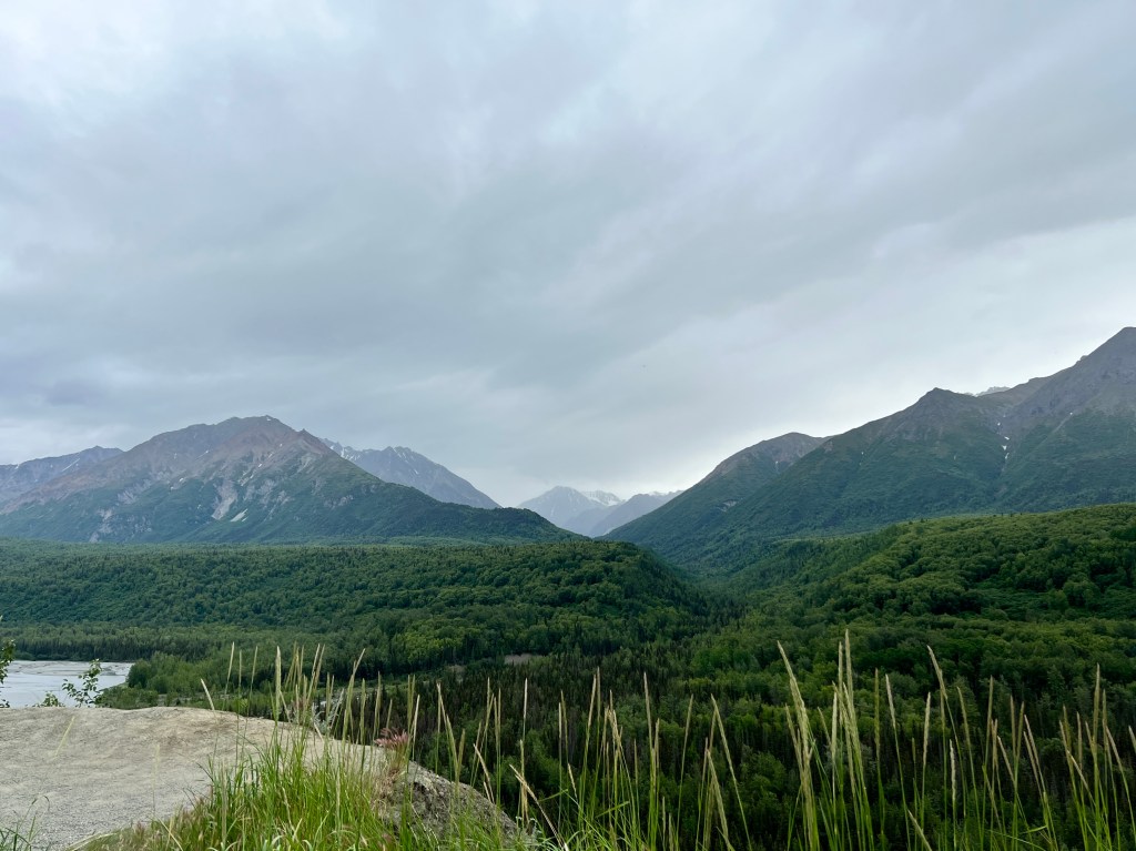
As we set up camp in a beautiful municipal park by the river, a lilac scented breeze blew and I was reassured that Alaska still holds much for us to see as we begin our journey homeward.
Heavenly Homer
Friday, June 30 and Saturday, July 1
The clouds thinned and allowed us to see what we had been missing in Seward the morning we left. Payne’s grey peaks webbed with snow towered all around, wearing scarves of patchwork green, and all reflected in icy blue glacial lakes. This view continued as we climbed up to Moose Pass and we tired of saying “oh, wow!” as we rounded each bend.
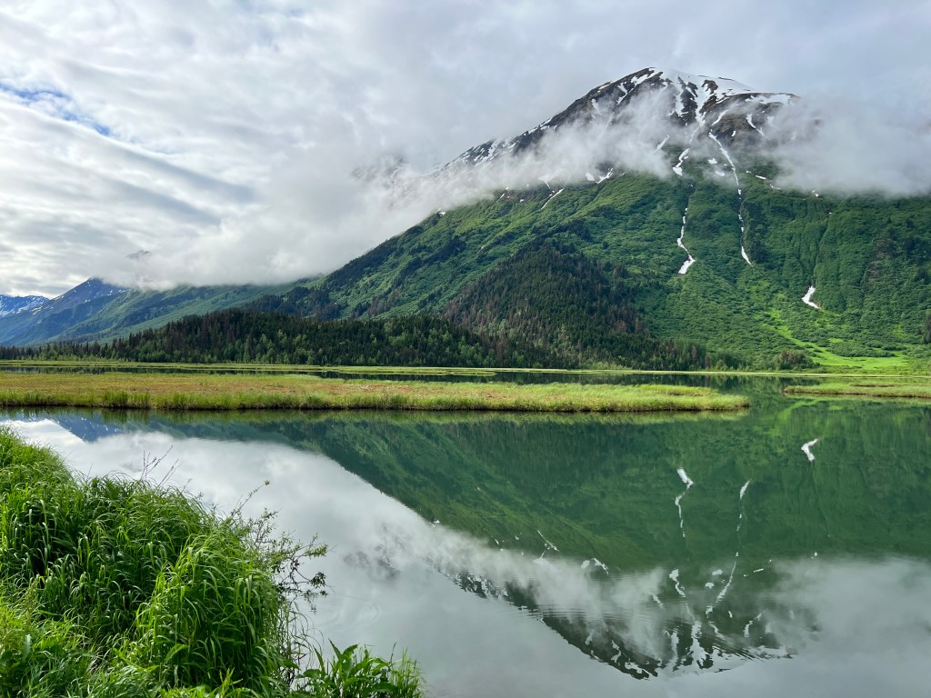
An eagle perfectly sited on a rock in Johnson Creek pulled coral red flesh from a salmon while the mountains loomed in the background; a moose and her two calves waded through a marsh with grasses so high the youngsters were barely visible; a young, sprightly black bear trotted down a back road and a loon family glided over glassy Tern Lake.
We turned west down Sterling Highway and into the chaos that is summer salmon fishing on the Kenai River. Tony fishing lodges and high end gear shops lined the road, and the turquoise Kenai River was crowded with boats and the shore peppered with well-clad anglers. We were thinking of camping at Russian River, but the campground was full and the ranger mentioned he had to patrol the campground and enforce the three day limit or people would stay the month!

We pushed onward for Homer. The land flattened as we headed towards Soldotna, and looked more like the interior, with stunted spruce and fire ravaged areas. Neither one of us had been to Homer before, nor read much about it, so we were expecting the scenery to be similar and turned off to our campground at Anchor Point with low expectations.
Securing the only spot left at the Halibut Campground, I walked the dogs and was delighted to discover Anchor Beach 100 yards west of our site with views across Cook Inlet to the Aleutian Range and it’s towering, snow covered volcanos. The farther up the beach I went, the more activity there was, and we had stumbled into the Halibut Derby which lasts all of June in Homer. Boats were being launched by tractors and vanished into the expanse of Cook Inlet, while those that returned were hauled ashore and the halibut innards tossed on the beach for the biggest bald eagles I’ve ever seen. The eagles themselves attracted a crowd of photographers (Erich included) and would allow you to get within 10 feet of them even with a barking Phinn in tow.
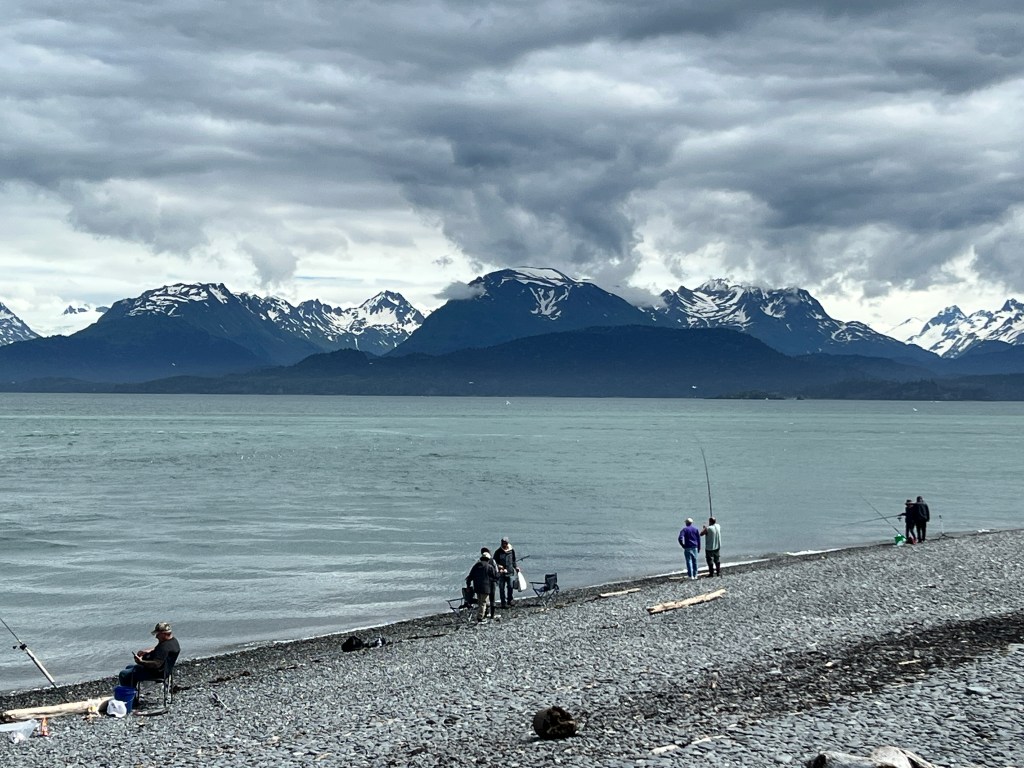
Heading into Homer, we rounded a bend to see the sunny expanse of Kachemak Bay and the glaciers of the Kenai Mountains beyond. Homer spit stretched into the bay and the roadsides were dense with lupine. Once again words fail in describing the beauty of the bay-the craggy mountains tapering to dozens of crenelated, forested fjords and draped with glowing blue glaciers.
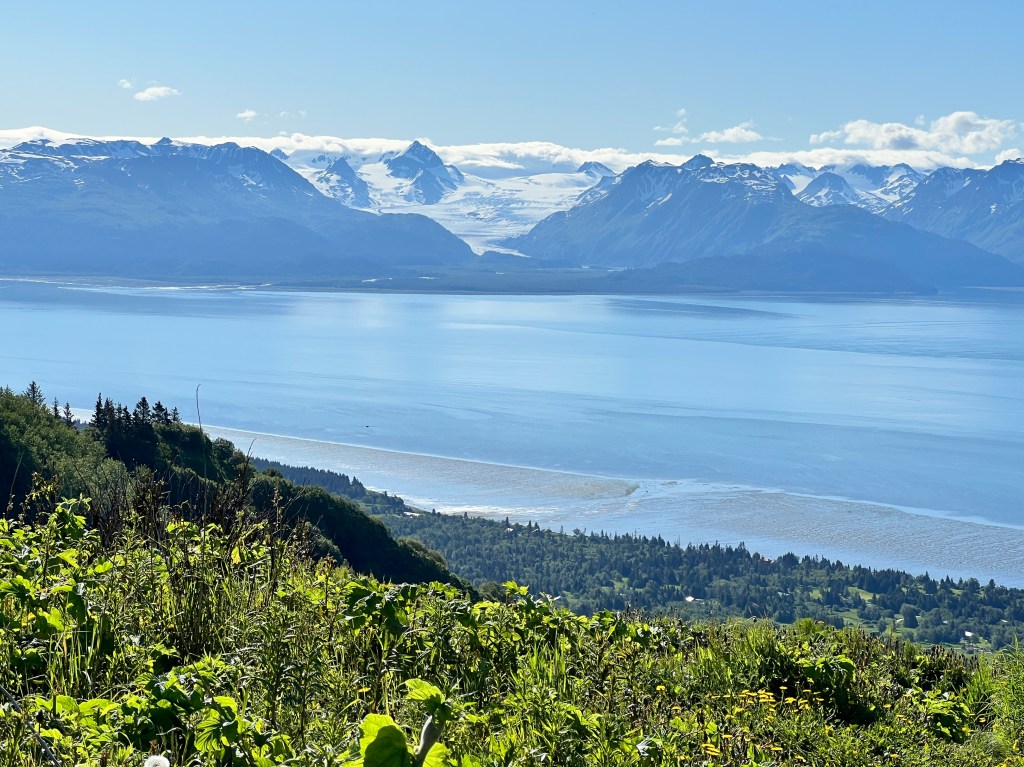
The spit was alive with a mish-mash of rotting boats converted into homes, tourist shops and restaurants on stilts, fish processing plants, commercial fishing boats, a recreational marina and fishing ponds, high-end condos and people camping on the beach in tents. A dizzying amount of diverse activity and everyone jostling for parking.

Halibut was the name of the game here too, and people fished off the piers, in the ponds and from boats, cleaning their catch at the public cleaning stations complete with a dumpster for “fish guts only.” Phinn found this especially interesting, and true to his namesake found a desiccated tail fin that he insisted on carrying about. As it stopped his barking, we were all for it.
We ate in an overpriced tourist trap and paid a fortune for halibut despite watching fish after fish hauled ashore from our table.
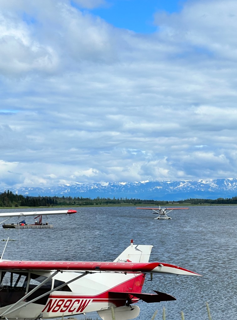
Back at our campsite we walked the pups along the beach and watched the eagles dining on halibut free of charge. The sun was bright and warm, the volcanos glowed on the horizon, and we sat on a weathered log looking out over Cook Inlet and felt incredibly lucky to have been able to spend time in such a beautiful spot.
Seward
Wednesday, June 28 and Thursday, June 29
Leaving Anchorage with no wistful glances, we drove again on the north shore of Turnagain Arm. The day was a gulley washer, and the clouds were low on the mountains so only their bases were visible and all was a wash of grey. One would never know spectacular peaks lay all around.
Crossing on to the Kenai Peninsula, the clouds lifted a bit, and more velvety green slopes with tendrils of snow and waterfall became visible. We decided to take the 14 mile cutoff to Hope, a former mining town on the south shore of Turnagain Arm billed as the best preserved original mining town in southcentral Alaska.
The road to Hope is not much traveled, and was pocked and rutted which made for slow going. Between the spruce and alder, the clouds had cleared and we got spectacular views of the Chugach Mountains.
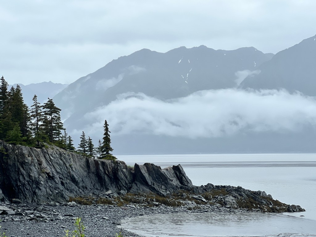
We had read about the Seaview Cafe and Bar, located in the 1896 general store, and were looking forward to a hearty breakfast. Unfortunately, thought clearly historic in character, everything in Hope was closed and/or “For Sale,” including the Seaview Cafe. Stomachs growling, we bounced a loop around the old log cabins and headed back to the main highway, thinking the town aptly named.

Heading into Seward brought us past many beautiful glacial lakes and through Moose Pass, so named, one story goes, for a mail carrier who had a heck of time getting around a giant moose here in 1903.
We dropped Boo off beside Stoney Creek, 7 miles outside Seward, and set off to explore.
Seward has, like so much of Alaska, scenery that’s beyond belief. The twist with Seward is that it sits on the shores of Resurrection Bay, which in turn connects with the Gulf of Alaska and numerous other inlets that together form Kenai Fjords National Park. The familiar snow-capped peaks surround, and drop straight into, the bay. The town is situated on the shores of the Resurrection River, the only flat area around, and was established in 1903 as a railroad terminus for getting supplies into central Alaska. It developed into an active port, but was severely damaged in the earthquake of 1964 and business moved elsewhere. It is now a tourist destination, with cruise ships in port daily and a burgeoning trade in adventurous ways to see the national park.
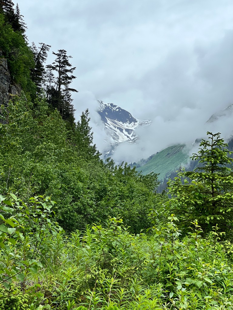
We ate a much-delayed meal overlooking the marina, and decided to treat ourselves to steamed clams on a rainy, cool day. Now, thus far everything in Alaska has been huge – the carrots we bought recently were 7 inches around- but our poor clams were harvested before they had a chance to live. Each was about the size of a fingernail, and we filled up on bread and dipping sauce instead.
Our waitress gave us a tip about places on the Resurrection River that we could let the pups run, and we headed there after lunch. Turns out that one can camp, free of charge, of the many sandbars in the river and some people had negotiated enormous fifth wheels out on the gravel. We drove to an unoccupied spot, tied on the bear bells, and the pups frolicked to the point of exhaustion, which gave us a chance after to drive to the only land entrance to Kenai Fjords National Park at Exit Glacier. My
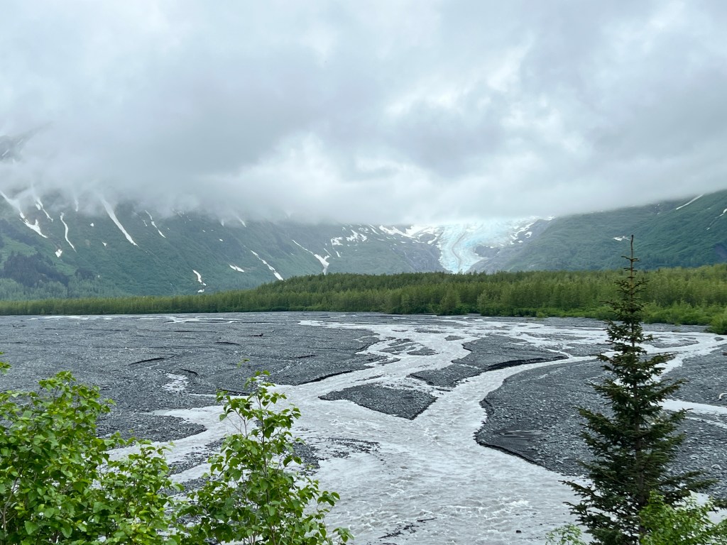
Another aptly-named site, Exit Glacier is one of the many extending from the huge Harding Icefield covering much of the tops of the Kenai Mountains. All are shrinking, and Exit Glacier in particular has retreated 1000 feet in the last ten years alone. It remains impressive, glowing turquoise at the head of the valley. We walked the well-tended trails to the base of the glacier, keeping a watchful eye for a black bear ad two cubs that were spotted multiple times that day.
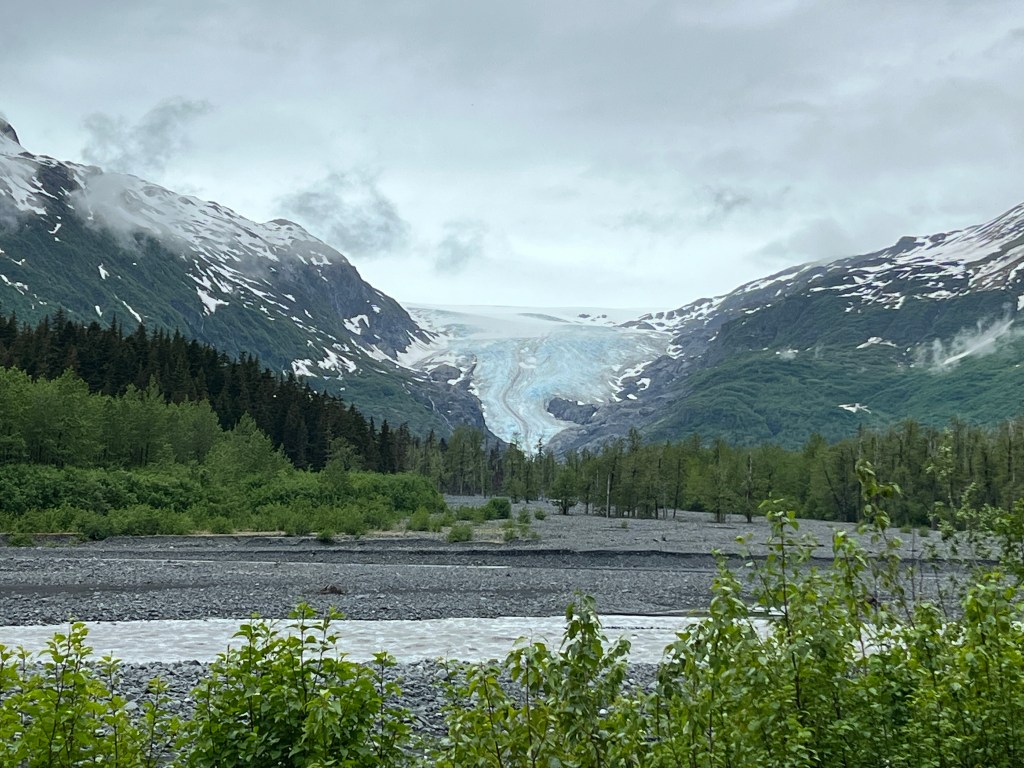
As we turned around, the rain began and didn’t stop for 18 hours. Fog shrouded the mountains and we retreated back to camp where our mosquito tent was waterlogged and all four of us spent a soggy evening crowded in Boo.
Still raining in the morning, we donned our waterproof attire and headed out. I had learned over early morning laundry that the Sockeye were running at Bear Creek, and we started there. Salmon teemed in the creek and fought the small falls relentlessly. Being from Seattle, we’ve seen this a dozen times, but it never ceases to amaze me and make me a little sad for the poor fellows. I clearly still have much to learn about salmon, as I didn’t think they ran until fall….
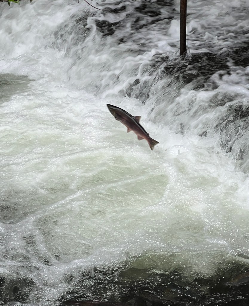
Somehow in the mood for seafood despite yesterday’s clam debacle, we headed to downtown Seward, a main street lined with a collection of small shops and restaurants. We learned that being on a seaport does not necessarily guarantee low priced seafood-cod and chips ran $36 and salmon $40. We settled for hamburgers.
After lunch we found Phoebe in the driver’s seat of the truck entertaining passers by and posing for photos. She thinks Seward is grand, and told us she’d learned of another beach where she could run. We drove south, on her instruction, to Lowell Point, at the end of a dirt road that hugs the edge of Resurrection Bay about 4 feet above waterline.
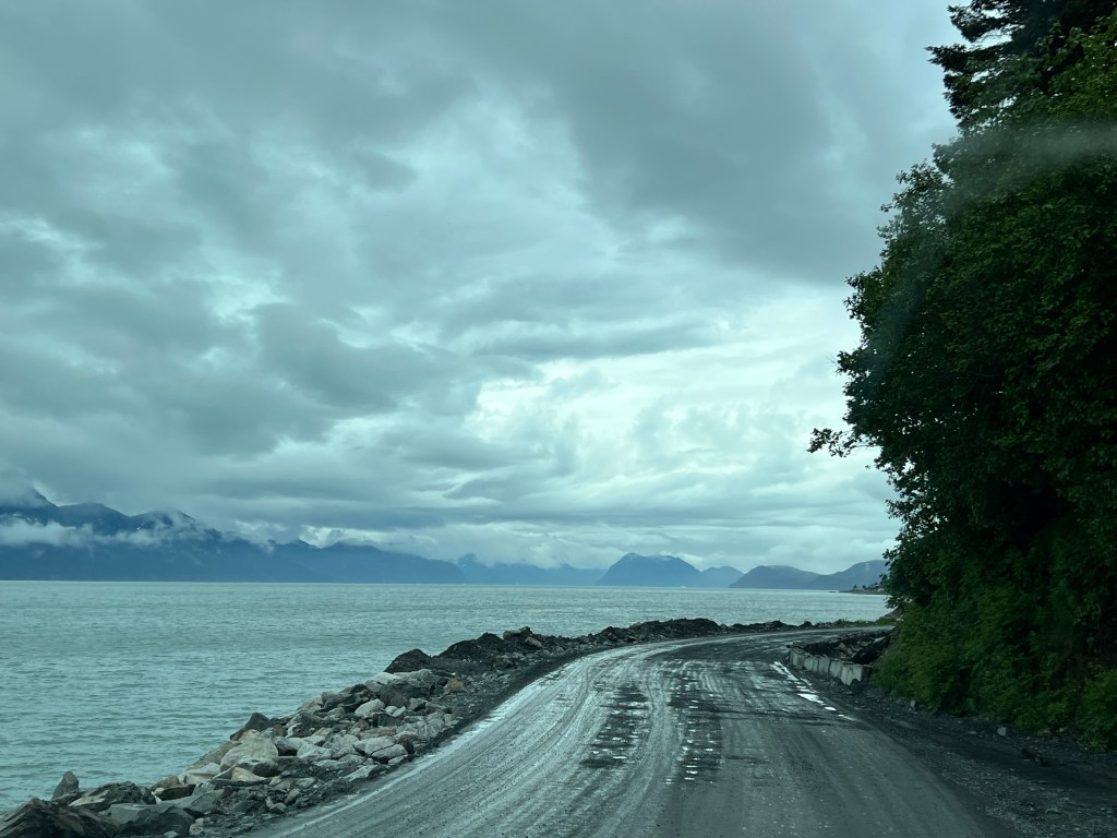
It’s a gorgeous spot with expansive views of the bay and a beach of soft grey shale that’s easy on the paws. Guided kayak trips of the park set our from here, and Phinn had fun barking madly at the kayakers. Embarrassed, we hurried him back to the car.

One last stop along the harbor walk to explore the origins of the Iditarod, which originated in Seward.
Iditarod in Athabaskan means “far away,” and I’d always thought it referred to the famous race held yearly from Anchorage to Nome. Actually, it refers to the winter sled dog transports that helped get mail and supplies to the interior during the mining boom and started in Seward, eventually reaching all the way to Nome.
A statue of Alfred Lowell, one of the original Iditarod pioneers, sits just off Resurrection Bay. In this day and age, as we complain of bumpy roads and shuttered restaurants, it’s hard to look at him and his huskies and imagine the fortitude and grit of those early Alaskans.
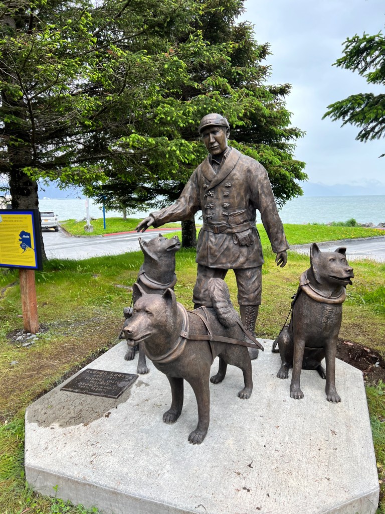
Anchorage
Monday, June 26 and Tuesday, June 27
There was blood on the dashboard as we left Talkeetna yesterday.
Those who know me know that I am averse to killing any living thing, but Alaska has made a murderess of me…
There were dozens of mosquitos in Junior, and we had a slasher fest with the “Inside Passage” pamphlet that revealed much damage had already been done – blood on the windshield and dashboard that we squinted around on our drive to Anchorage as the killing spree continued.
We were listening to local radio before we left and they were having an “ode to the mosquito” poetry contest. From sad personal experience I may contribute this:
This morning down by the Talkeetna
I was set upon by a swarm of mosquitos
Up my nose one went
I pinched, then spent,
I sneezed and out went
The bloody little fellow in pieces
No Robert Service, I….
We arrived in Anchorage via Highway 1, a series of strip malls the same as any American city.
Setting up camp in one of the few RV Parks there (we are favoring these vs. forest service sites because the world can’t tolerate any more of my “odes”) and set off to explore the city.
Anchorage itself is a disappointment-uninspired 1960-70s architecture, much of it in disrepair, and a homeless problem that rivals Seattle’s. But, oh, the setting! The Chugach Mountains are visible form the city in their million green folds and draped with waterfalls. They fade to violet down Turnagain Arm, a shallow offshoot of Cook Inlet that separates mainland Alaska from the Kenai Peninsula.
We had taken a train ride along this in the past, but I recall little as we were seated across from a lovely, but very chatty, couple from Minnesota. This time I had all the time in the world to admire this beautiful spot. Squalls and rainclouds played around the peaks, suffusing them in a filtered light that accentuated their slopes and valleys-sublime shades of grey and lavender rippling to the horizon.
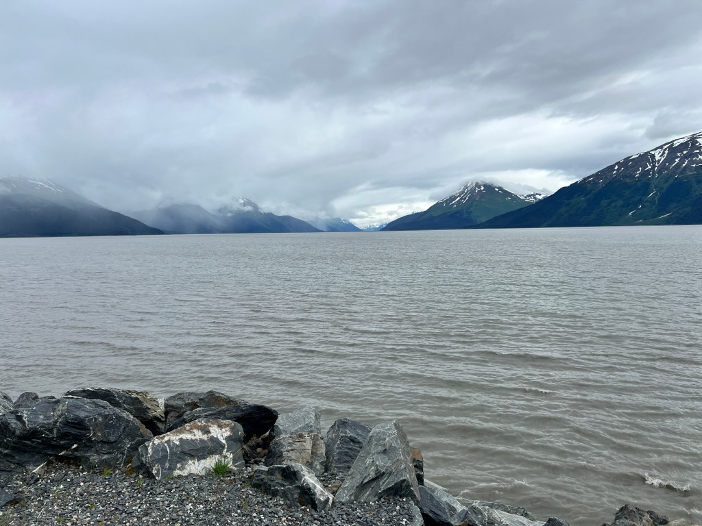
The geography of the bay is unusual, very shallow and gently sloped, such that around minus tides the fluctuation can be as much as 40 feet between high and low tide. That creates a phenomenon known as the bore tide, when the incoming tide creates a wave up to 6 feet that can be surfed down the 40 mile arm! As if that weren’t amazing enough, about thirty minutes after a bore tide, beluga whales arrive, seeking out the tasty fish that have just been swept in.
Unfortunately, out visit didn’t correspond with a large bore tide. Something for next time.
We traveled up Turnagain Arm and took the turn off to Alyeska, about thirty miles from Anchorage. Alyeska is a ski resort in the Chugach Mountains, and lies up Crow Creek. Our destination was the old Crow Creek Mine, a placer gold mine established in the 1890s with many remaining buildings from the original site remaining and gold panning. Forgoing the temptation to pan (though I later learned a tourist had found a 4 oz nugget the size of a chicken egg in this spot), we wandered the old wooden buildings and took in the interesting history. The site is on the national register of historic places, and has been owned by the same family since the 1960s, who have done their best to preserve the century-old buildings. There are gorgeous gardens throughout the grounds, and the valley is surrounded by velvety green peaks that feel so close you could almost touch them. It’s no wonder this is a favorite wedding venue for Anchorage locals.
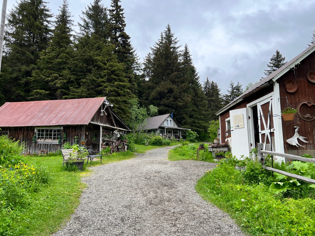
Back at camp, we watched two young bull moose trot along the railroad tracks. Turns out they are kicked out by their mothers at around a year, and left to fend for themselves. The railroad tracks might not be the best choice, but like all youth, they had their own ideas.
After a somewhat sleepless night due to loud arguments from the large homeless encampment we discovered just behind the park, we set off for Portage Glacier.
There was a town of Portage at the head of Turnagain Arm, but it was completely obliterated by the strongest earthquake in North American recorded history – the Good Friday earthquake in 1964 that had it’s epicenter in Prince William Sound and lasted a whopping 3 minutes at a magnitude 9.2. A tsunami wiped out many villages around Prince William Sound, and Anchorage, Girdwood and Portage suffered enormous damage, with some areas dropping 8-9 feet in elevation and then flooded by the tide.
Today, Portage Valley is very peaceful spot with the familiar green sugarloaf mountains sheltering glaciers and alive with waterfalls. Clouds hung about the peaks and rain and wind buffeted us as we hiked The Trail of Blue Ice up the valley to Portage Lake – a slate blue, iceberg-studded beauty left in the wake of the retreating glacier. We ran in to only one other couple on the trail and they gave us the ultimate compliment as we braved the weather and mosquitos: “You must be Alaskans.” And they, native born, were very surprised we weren’t.

We toured the fantastic visitor’s center at the lake, and learned a staggering fact that we likely should have known before we set out on a driving trip – Alaska is one fifth the size of all the lower 48 states combined! A fact I’ll keep in mind as we drive towards Seward tomorrow.
Talkeetna
Sunday, June 25
Leaving Denali National Park with a wistful glance in the mirror, we headed west towards Anchorage and the Kenai Peninsula.
The morning was cloudy and very windy, and the road a typical Alaskan road, so driving was a bit challenging. The scenery was gorgeous-the Alaska range continued to unfold before us, and we stopped at most of the many pullouts along the way for photo ops.

At the four hour mark of what was supposed to be a four hour drive to Anchorage, we decided that we would stop for the night in Talkeetna. It seems that 1 mile in Alaska is equal to 3 miles in the lower 48…
Talkeetna is a town of about 1000 and is a former mining supply/railroad construction town that has been reborn as an aviation and climbing hub. In order to climb Denali, you must register at the ranger station here (1231 people have done so this year to date) and then one of the many air taxi services delivers you to a glacier at 7,000 feet where you start the 20,000 foot climb.
Legend has it that the first to climb the lower of Denali’s two peaks were three friends in 1910 who looked at the peak from a Fairbanks bar and set out to climb it on a bet. They took hot chocolate and donuts, along with a spruce pole to place on top so that it could be seen from Fairbanks as proof of their success. They returned saying they had summited, but the pole wasn’t visible and the story a bit flaky, so they weren’t believed. It was only in 1913 when the first team to summit the highest of the two peaks reported they saw the spruce pole on the lower summit that they were given their due. An amazing feat, given that even today, with modern equipment, it is still a dangerous climb.
A peaceful graveyard sits just outside of town with a monument to the hundreds of climbers who have been lost arranged by year, with 2023 awaiting posting. Engraved propellers sit upright as tombstones to fallen pilots, an equally dangerous endeavor in these parts.
In contrast to the somber graveyard, the town is alive with brewpubs, restaurants, outdoor supply companies and purveyors of all manner of adventures-flight seeing; fishing; zip lining and river rafting. Prayer flags drape the historic log structures and outdoor patios are alive with colorful umbrellas and folk singers.
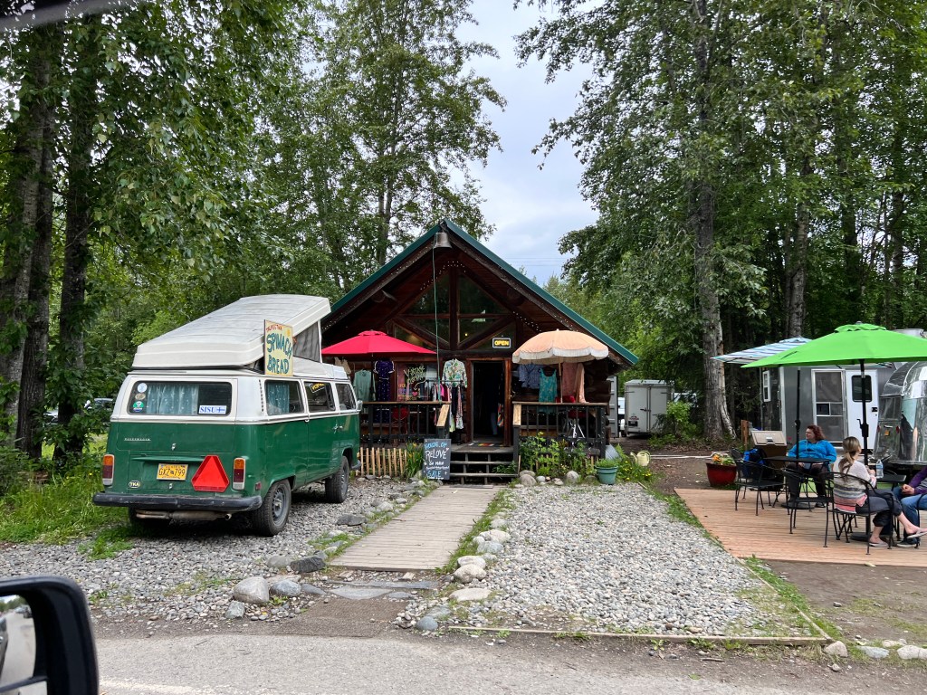
We secured a campsite on the Talkeetna River, which sounded lovely, but is in fact situated in a muddy bog amidst more voracious mosquitos. As I write, I look at Erich scratching one of the many bites he got on his face setting up camp. Luckily, our stop in Fairbanks allowed us to get a mosquito tent, and once we weathered the initial onslaught during set-up, it proved to be a lovely haven.
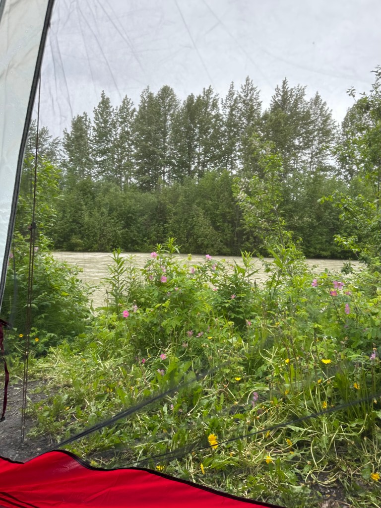
Camp set-up complete, we went back to town for lunch- a calzone the size of regulation football. Thus set for lunch and dinner, we walked the dogs through town with the intent of seeing some of the historic homes and browsing some of the galleries. This proved impossible – Phinn morphed into Cujo again, frothing, pulling and barking at other dogs, and we limped back to camp, humiliated.

So we sit, confined to Boo and the mosquito tent, hoping Anchorage’s four dog parks will burn some of the energy off our wound-up puppy.
Denali
Friday, June 23 and Saturday, June 24
Once again, words fail.
We’d been to Denali before, in mid-September just as the park was shutting down. At the time, the Denali Highway was closed to all vehicle traffic and you had to take a bus to the interior. The buses were unheated Bluebirds of the school-variety, and it was bitter cold and sleeting. We saw very little of Denali as we rubbed condensation from the windows and scurried back to the shelter of the bus after perfunctory stops where not much was seen but grey…
What a difference!
Though we’ve loved our trip thus far, the scenery has been more that of rivers, rolling hills and forest with very far-away mountains. As we drove west from Fairbanks yesterday, we crested a rise and the gorgeous snow-capped Alaska range was front and center, larger than life.
We settled in to our campsite, about a mile from the park’s entrance and not nearly as lovely, but as they say…location. As we didn’t really have a defined timeline, we couldn’t book the beautiful NPS campgrounds inside the park-they were all taken around January 1, when booking opens.
We dropped Boo, who seemed less than thrilled with her gravel-parking-lot-next-to-a-dumpster surroundings, and headed off.
The Denali Highway runs 90 miles to the interior with wonderful views, they say, looking south to Denali at the end. The highway was closed at mile 43 for a landslide, so the buses only went that far and, to our delight, up to mile 15 was open to public vehicle traffic as no dogs are allowed on the buses, or pretty much anywhere.
The first thing that struck us as we entered the park were the wildflowers. Growing in huge bunches of cream, magenta and purple by the sides of the road and lit golden in the late afternoon sun, they made the drive seem like something out of a fairy tale. We passed signs advising caution as the sled dogs were exercising on the road, and sure enough we encountered a husky dog team pulling a wheeled cart around a wooded bend. The dogs looked as delighted as we were to be out, pink tongues lolling happily as they pulled.
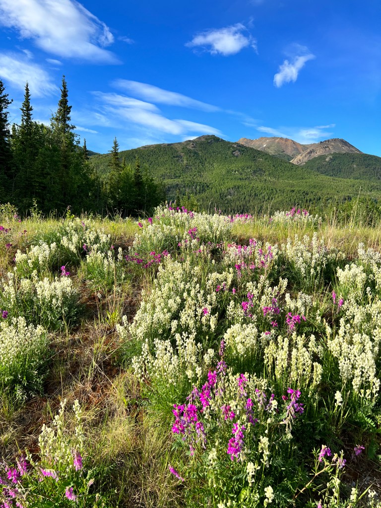
And then, we rounded the bend and were out of the deciduous birch and aspen and the landscape fell away in all directions- a soft bowl of green studded with stunted boreal spruce and climbing on all sides to a crown of snow-capped violet peaks and Denali, gleaming like the diamond it is, white and huge, beyond. Awestruck, we stopped at a pullout and stared until the dogs began to whine.
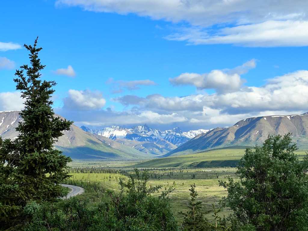
We snaked through the valley, musing about different ways to say “vast,” until we reached mile 15 at Savage River. Waiting for a parking spot at another pullout, we watched as two huge moose picked their way upstream. There’s a short trail that runs along the Savage River and after walking the pups on the pavement (the only area they are allowed) we set off. We hadn’t prepared for a hike and then we saw the signs advising us that grizzly encounters were likely in the area. Bear bell and spray-less, armed only with Phinn’s treats in my pocket, we figured we didn’t want to make the evening news as the idiotic tourists killed by bears after trying to subdue them with bacon nibblets, so we decided to return better prepared the next morning.
We walked the pups along the paved trail by the visitor’s center and across the raging Nanana River, where Phinn weighed the options of treats vs. playful (we hope) attack of passing dogs and decided that he preferred attacking. Back to the drawing board.
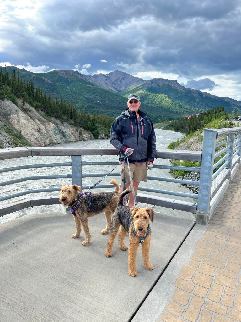
Morning brought bright sunshine, and one lovely perk of staying in a ratty RV park-a walk for a fresh morning mocha! Caffeinated, we made our way to the park at around 7 am, secured a spot at Savage River, exhausted the pups and then, appropriately prepared, we hiked the trail along the river. A huge bull caribou joined us, silvered in the morning sunlight, walking upriver in flashes of light as his hooves broke the water. He grazed on the banks and then lay down taking the morning air. I will never forget him in front of the snow-capped mountains- the beauty of the wild incarnate.

We spied Dall’s Sheep high on the rocks above, barely visible even with binoculars, but no grizzly. On our way out a ranger told us to return around 9 pm, and watch an alpine meadow upslope. He said grizzly are all around us but hiding in the bushes (slightly disconcerting)-they only come out at night when the tourists leave. We’re headed back tonight.
After lunch at the pricey park cafe, Erich took the pups for another stroll and I visited the kennels. It was a 70 degree day, and the poor huskies were suffering, lying about the kennel yard under misters. The kennel manager said they were generally pretty social, but on hot days nothing could make them move. They thrive in the cold, staying warm outside down to -40 degrees with a two layered coat and a way of sleeping with their tails in front of their noses that warms the air before they breathe. They are still used extensively in patrolling the park during winter.

And we have resolved to return without our particular dogs in winter, to see this majestic place in yet another season and in more depth than was possible this visit.
As novelist and environmentalist Wallace Stegner wrote:
“We simply need that wild country available to us, even if we never do more than drive to the edge and look in. For it can be a means of reassuring ourselves of our sanity as creatures, a part of the geography of hope.”
The Longest Days
Wednesday, June 21 & Thursday, June 22
Almost 22 hours of daylight, and darkness never does fall, just a hint of dusk. We know this because Phinn has been waking us at all hours to go out, including at 2 am, the heart of darkness here.
Nerves seem a bit frayed, and in retrospect bringing a puppy on a long roadtrip might not have been the best idea. He may have had just about as much as a puppy can take. The constant daylight seems to be signaling him to play around the clock and we’re having a devil of a time keeping his eye mask on at night.
We decided to drive north a few hours to Fairbanks and spend a few days reorganizing, doing laundry, re-provisioning and working some energy off Phinn.
Our campsite is on the banks of the Chena River just outside Fairbanks and is quite peaceful, save for our leash-aggressive pup. Our plans to run him at the camp’s dog park were foiled by the fact that when any dog approaches he lunges and froths lake a rabid wolf, and we’ve made quite a name for ourselves here. We keep waiting to be kicked out.
After smuggling him to the car this morning with a treat so he didn’t lash out at the neighbors, we walked around Pioneer Park in the heart of Fairbanks. We timed it such that the shops wouldn’t be open to avoid any unpleasant Phinncidents, and we had a pleasant stroll through the preserved log cabins, Athabaskan Indian replica homes, riverboats and trains. Who knew you could use seal intestine as a window material?

We headed out of the city to Chena State Recreation Area, a gorgeous riparian and forest preserve with campgrounds and hiking trials about 30 miles from downtown. We took a brief, mosquito-limited hike around a lake, and sat to observe moose at Phoebe’s request. None were seen.
I dropped Erich and the pups back at camp where he was eager to employ a treat distracting method he learned from the AKC website, and I wanted to hunt down some qivuit yarn, a very rare yarn made from the wool the muskox. Theplace for qivuit is the Large Animal Research Center at the University of Alaska at Fairbanks, which would have sent Phinn into apoplexy as the muskox, caribou and reindeer wander up to the fence, so best he stayed home.
Muskox are ancient creatures, having survived the last ice age, and most of the herds that covered the arctic are now extinct, including the Alaskan muskox. Today, about 100,000 survive in the wild, and most of those are transplants from Greenland, introduced back to their former habitats. Alaska has about 10,000 that live north of the arctic circle, and those at the Large Animal Research Center. They lumber to the fence and stare at the handful of visitors with soulful brown eyes, looking like they have a pliestocene’s worth of knowledge to share, though they probably just want food.

A half-skein of pure qivuit ran $180, and my knitting skills don’t really live up to such rarified wool, so I contented myself with meeting the maker and learning about these living fossils.
Back at camp, all was peaceful. Erich’s trick with the treats has been keeping Phinn quiet, though he may outgrow his Yukon Quest harness by the time we get home.
Mile 1422
Tuesday, June 20
A light rain falls in Delta Junction and mosquitos hover outside Boo’s front window as I write.
We made it to the official end of the Alaska Highway yesterday!
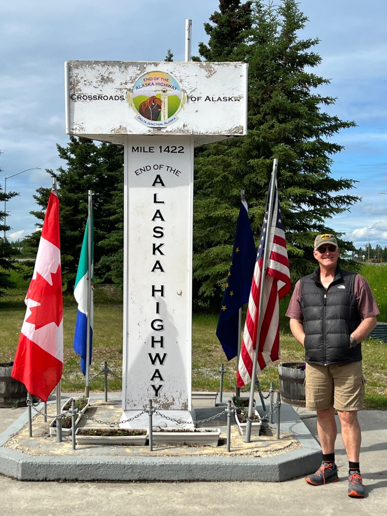
Leaving Chicken before the miners woke we navigated the rest of the Taylor Highway through Forty Mile Valley and decided it was a good move to stop the previous day. The driving conditions were the worst we had yet seen-frost heaved pavement breaking apart and spray painted bright orange transitioning abruptly to dirt, which was actually the smoothest surface. Boo danced an ungainly jig behind us and tugged abruptly on Junior’s hitch, which returned the favor-two out of sync dance partners.
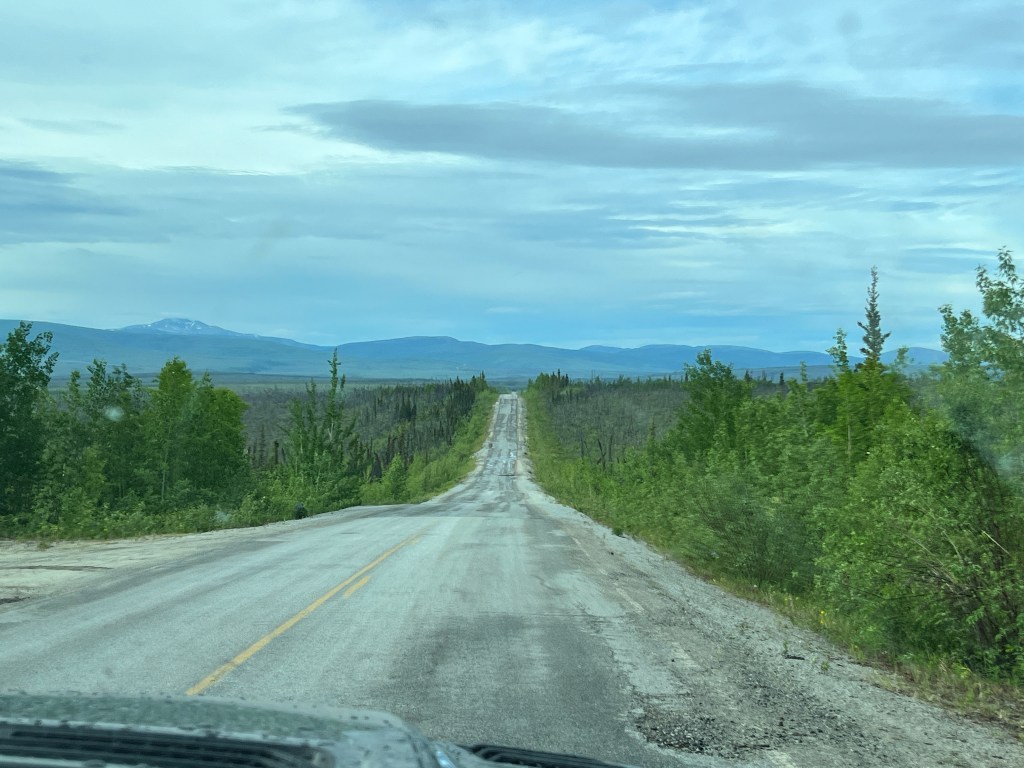
The country was expansive with rolling forests and the road lined with wildflowers. Once again, we had it entirely to ourselves. We passed over numerous rivers with “public gold panning,” which beckoned to this neophyte miner, and beautiful roadside displays of history by the BLM. We learned this route was the old wagon trial from Valdez to Eagle, built in 1900, to bring law, order, mail and supplies to the interior mining camps. They say in spots you can see the old wagon tracks. One story that reflected the conditions was about a batch of mail that was late arriving and someone was dispatched to see what happened. They found the mail carrier sitting before a pile of firewood, frozen stiff with a match in his hand. Not a country for the faint of heart.
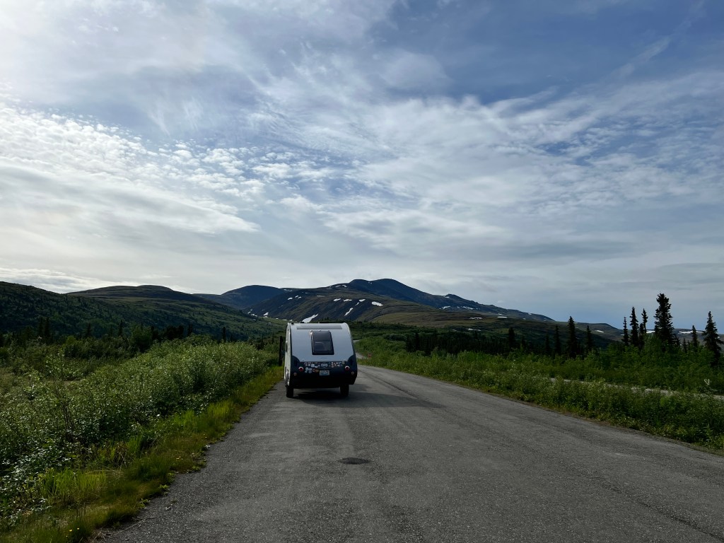
We were delighted to arrive back at the junction of the Alaska Highway, and laughed at the rather general directions we found. As we were headed to Tok, we weren’t too confused.

We stopped for a greasy spoon breakfast at Fast Eddie’s, a 70s throwback of orange and brown with a wonderful selection of pancakes and a fabulous logo, and got our first glimpse of the stunning Alaska Range.

Skirting the snow capped peaks north until Delta Junction, where we camped for the night, we dropped Boo and got our official “highway completion” certificate from the visitor’s center. We ate at a local hamburger stand with soldiers from the nearby base, and toured a wonderfully preserved roadhouse.
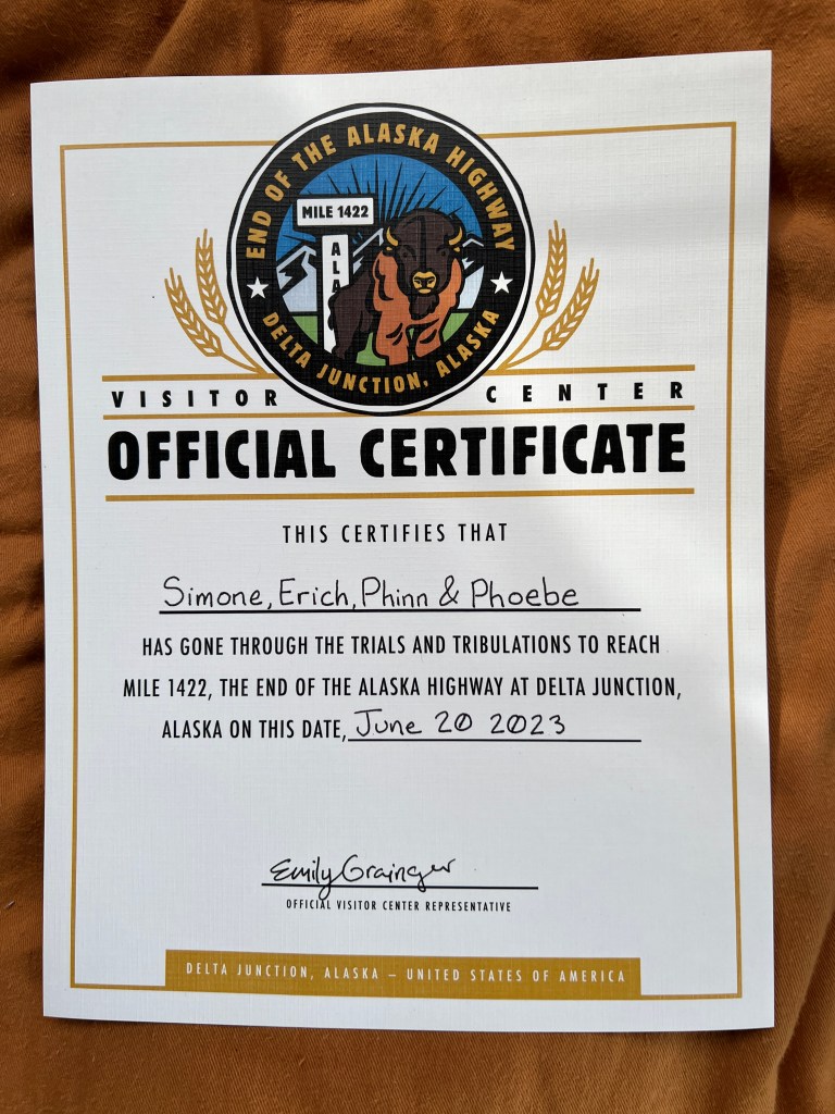
Back in the days before cars, roadhouses were scattered about a day’s ride apart up and down the different trails to the interior. All were log-hewn and heavy on antler decor, and offered a bed for $1 and a meal for $2 at a time when a lavish Seattle meal cost about 15 cents! It must have been a welcome sight to see a homey roadhouse at the end of a hard day’s trek through the wilderness. Sullivan Roadhouse was saved from destruction, and is the only original roadhouse still standing in the Alaska interior. The story goes that it sat on the practice bombing range of the nearby base, and a local was sent to clean out the house and bury all that was left in a pit beside it. Feeling this wasn’t quite right, he took it home and kept it in his garage. Somehow the house survived bombing runs, and someone in the army saw the value of preserving the old place. Each log was numbered and the whole was moved and reassembled where it now sits, just off the Alaska Highway. The man who saved the interior decorations donated them, and it’s now possible to experience the place just how a traveler would have, complete with a welcoming hostess in the form of a local volunteer.

Sandy, the docent du jour, was very knowledgable on all Alaska history and helped Erich figure out where his father had been stationed in WWII from the parts of stories he could remember. What a treasure! She asked if we had ever visited Alaska before and when we told her we had been on a cruise she replied “That’s just a light sampler. Now you get to have the real experience.”
Forty Mile Idyll
Monday, June 19
Our original plan on reaching Dawson City was to drive the Dempster Highway to the Arctic Circle. We had second thoughts after seeing the condition of the road from Whitehorse to Dawson City, and third and final thoughts as we pulled in to our campsite in Dawson City beside a sprinter van with it’s wheel off and a man with a bruised face sitting beside it.
He and his wife were overtaken by their tire on a steep downslope on the rugged, unpaved road and were lucky they hadn’t been hurt much worse. The bolts holding the tire on sheared off and they waited hours for help. The neighbor on the other side, driving a tricked out Rubicon Gladiator with 37 inch tires, said it was pretty rough and he used half his tire tread.
Given our usual expedition luck (recall hitting a rock in our sailboat and taking on water for 3 days and 200 miles) we decided against type to be prudent and forego the Dempster.
So, we found ourselves up at the crack of dawn-about 3:30am-to be early in line for the 10 vehicle ferry across the Yukon heading towards Tok via the Top of the World Highway. The ferry runs 24/7 during the summer and we had been warned that if we waited until a more decent hour to cross, the wait could be hours long. We were the only ones aboard for the 5 minute crossing.

Making landfall on the other side, we had the entire road to ourselves. The largely unpaved road runs along the tops of the hills with expansive views of folded valley upon valley rolling away to distant mountains. We pulled over to enjoy the view and cook breakfast, as now that we were across the river, we had to wait a bit until the border crossing at Poker Creek opened at 8 am.
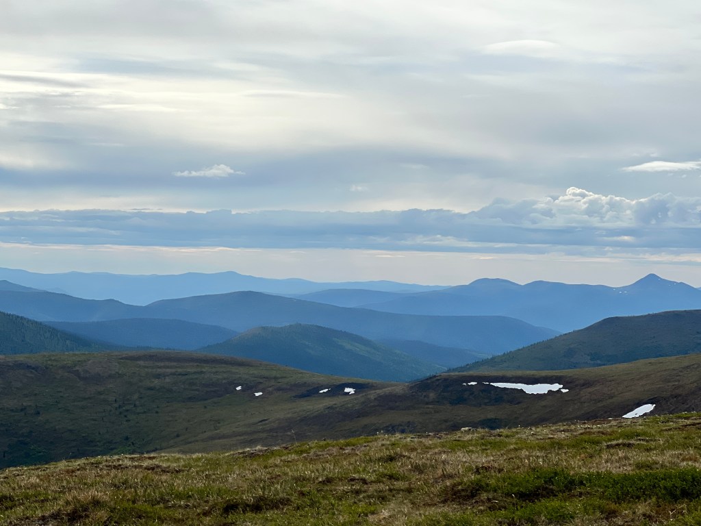
Both of us were a bit addled waking up so early, and a bit awestruck by the vastness of the country around us, and it felt like things were moving in slow motion as we crept along the empty hilltops. We were commenting to each other that we hadn’t seen much wildlife when a dog-sized porcupine waddled across the road in front of us. Though it took the creature 5 minutes to cross the road, neither one of us could get our cameras (which were in our laps) out in time to get a picture. I believe it sighed as it lumbered into the bushes on the other side, saying “it doesn’t get any easier than that, guys!”
We crossed the northernmost and friendliest US land border easily (the dogs got milk bones from customs) and decided that, given our sleepless state, it would be best to stop and rest for the day.
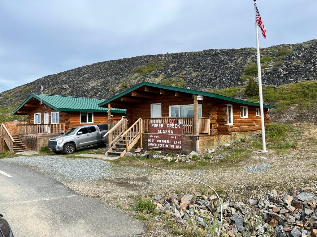
The road became quite narrow and the dirt much softer, and just as we rounded the bend thinking we really needed to stop, we arrived in Chicken, population 15. Of course, 15 is the full time population-it swells to 100 or so in the summer and we had arrived the day after the annual bluegrass festival “Chickenstock,” which draws 1500, so the town was ready for visitors. Legend has it that the town was to be named “Ptarmigan” after the birds that frequent the area, but no one could spell it, so…Chicken!
We were one of a few passing tourists set up in the Gold Rush RV Park, the other spots occupied by people who spend their summers at the site in RVs with an assortment of mining equipment and lingering dreams of gold. This is the heart of Forty Mile River country, which was being mined even prior to the Klondike rush of 1897, and mining is still the biggest draw (other than bluegrass) today. Quads wove up and down the creeks, sifting machines sat next to RVs, small dredges ran most of the night and whole families processed the earth in makeshift mining camps.
I decided I would try my hand at gold panning and took lessons from one of the onsite miners (the Indiana state panning champion) who offer their advice to tourists in return for renting space. Ten dollars bought me two hours of panning from heaps of rocky earth brought in from an active mine site, and darned if I didn’t find a few flecks! Perhaps next year we’ll return with a small dredge?
One would think that with all the mining activity, this would not have been the most pleasant stop, but it was actually quite lovely. All the activity was very small scale, the people very friendly, and the country around remote and beautiful. I walked Phoebe and Phinn in the morning through downtown Chicken-three buildings-amongst lupine, fireweed, spruce, aspen and birch. The dogs frolicked, everyone I saw waved and my vial of gold flakes sat warmly in my pocket-it’s hard to leave Chicken.
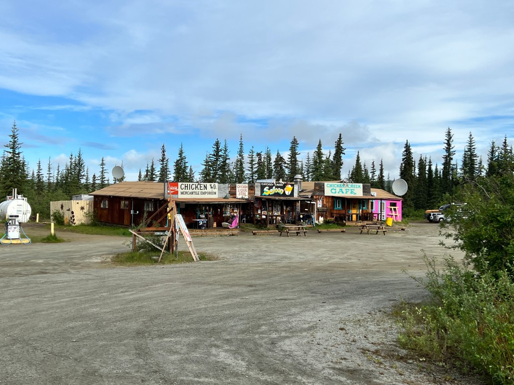
The Klondike, Part 3
Sunday, June 18
The Yukon braids away into the velvety green wilderness as the Sunday church bell tolls in Dawson City far below. We’re atop Dome Mountain looking out over the Klondike gold fields and the city they created. The earth here bears the scars of placer mining, with heaps of tailings starting to worm through the landscape about 15 miles out of town, and seen from above they look like giant creatures burrowed through the earth, leaving rocky trails, which I guess is what actually did happen.
After surviving the perils of the passes and the river, the 30 thousand or so who arrived in this place found that most of the claims had already been staked by locals, and their journey was for naught. To survive, many returned to their former professions of bankers, blacksmiths, bakers, etc. and Dawson City was born.
On the banks of the Yukon in very remote wilderness with only 1500 full-time inhabitants, this city retains very much of a boomtown vibe, though now the boom is tourism thanks to it’s beautifully preserved old buildings and rich history. Parks Canada has done an incredible job restoring old buildings so they didn’t fall into ruin, rescuing and refurbishing an enormous dredge left half submerged to rot, and presenting interpretive programs about it all.

Old wooden buildings and boardwalks line the unpaved streets. Modern-day amenities like the grocery store, visitor’s center and museum are housed in historic buildings, and log cabins dating from the late 1800s still house residents.
We started the day at the visitor’s center, located in the old general store-a vision of dark polished wood with a brass radiator that took up half the ground floor. Next we sought out “writer’s block,” the area where Robert Service lived and worked-a cabin with moose antlers hanging over the porch-and where Jack London’s log cabin has been reassembled and turned in to a museum.
Then off to the goldfields and Dredge #4, a monstrous 8 story structure that explained the rocky burrows. We were lucky enough to arrive just in time for the daily tour. After the smaller claims of individual miners played out by 1900, corporate mining came on the scene and began using dredges to scoop out the earth, separate the gold=bearing ore, and spit out the unwanted rocks behind. They crept up the rivers and creeks in the areas like giant, hungry animals, working 24/7 from March until November and creating a din that could be heard for miles. This lasted until 1957, and placer mining on a smaller scale still continues in the Klondike today. Definitely not the prettiest part of the city, but the city wouldn’t be there without it.

Back in town for the afternoon, we ate lunch to the sound of floatplanes taking off and landing on the Yukon River just outside and bought supplies at the wooden-floored local grocery. While Erich walked the pups, I headed back to the Robert Service cabin for a program about his life and work. A Parks Canada employee, dressed in period costume, opened the cabin for us to tour and gave us a wonderful presentation about his life and his importance to popularizing the Klondike, with well-timed poetry readings in between.

Reuniting with Erich and the pups, who had enjoyed a walk along the river, we drove back through the dusty streets where several buildings had been left purposely alone to show what might have become of the city but for the recognition of it’s value by both locals and their government.
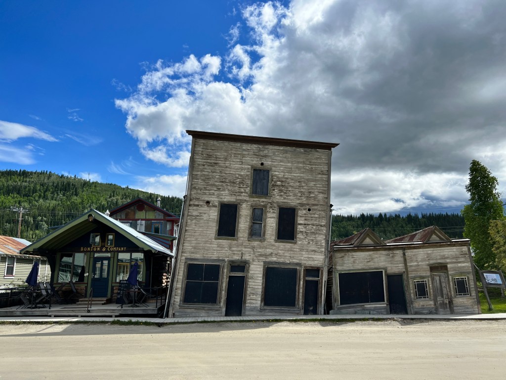
The Klondike, Part 2
Saturday, June 17
We had seen the start of the Klondike Trail and now we were to see the middle and end.
We spent yesterday afternoon in Whitehorse again, wandering the riverfront, museums and stores. We saw the 1899 cabin of Sam McGee, made famous in the classic Robert Service poem “The Cremation of Sam McGee,” which I read to Erich as we sat on the shores of the Yukon River.

We learned abut Yukon Quest, the 1000 mile dogsled race from Whitehorse to Fairbanks every February. We teased Phinn about putting all his excess puppy energy to work and got him a “Yukon Quest” patch for his harness.
We had a lovely evening talking with our neighbors, Todd and Tracy, who had a fancier Boo and were camped just next door. It was fun trading tips about our campers and travels, and we hope to meet up with them again. Theirs was the only other Tab 400 we’ve seen thus far and they love their camper as much as we do.
This morning we headed out early, hoping to make it part way to Dawson City, which is the heart of the Klondike where everyone who started in Skagway or Dyea were headed. It’s quite the journey! Once across the pass with the required 2000 pounds of supplies (the Canadian government mandated that all who came to the Yukon have a year supply of food so they wouldn’t have to rescue starving miners), they landed at Lake Bennett, where they had to build boats and raft the Yukon from Lake Bennett to Dawson City. This meant navigating many obstacles-narrow Miles Canyon and the rapids for which Whitehorse is named, as well as numerous whirlpools with names like “The Devil’s Punchbowl.”
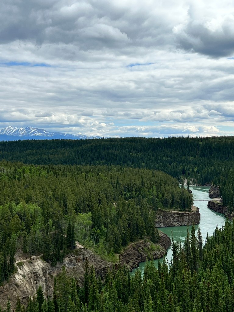
We followed the Yukon for the 330 miles from Whitehorse to Dawson City on a road that sometimes felt like navigating rapids. There’s something up here called “frost heave,” where the freezing and thawing of the ground causes it to undulate. Construction is an ongoing project, and we passed through many sections of gravel and mud. On one section, following directly behind the pilot car through some very boggy terrain, the pilot stopped abruptly and leapt from her car, leaving her door ajar. She ran to the line of cars behind us that had stopped about 100 yards back. Turns out a motorcycle had crashed and she told us it was the second one today. Luckily nobody was seriously injured. And we saw a mama moose and two calves trot across the highway as we waited.

Despite being very remote, the wildlife was outnumbered by cars overturned by the roadside-not especially confidence boosting. On the positive side, the edges of the road were easy to see, outlined in fiery pinks and purples of blooming fireweed and lupine. We passed Lake Lebarge, where the cremation of Sam McGee took place-a bit haunting to imagine a dark, frigid winter’s night lit by a burning riverboat and it’s mortal cargo.
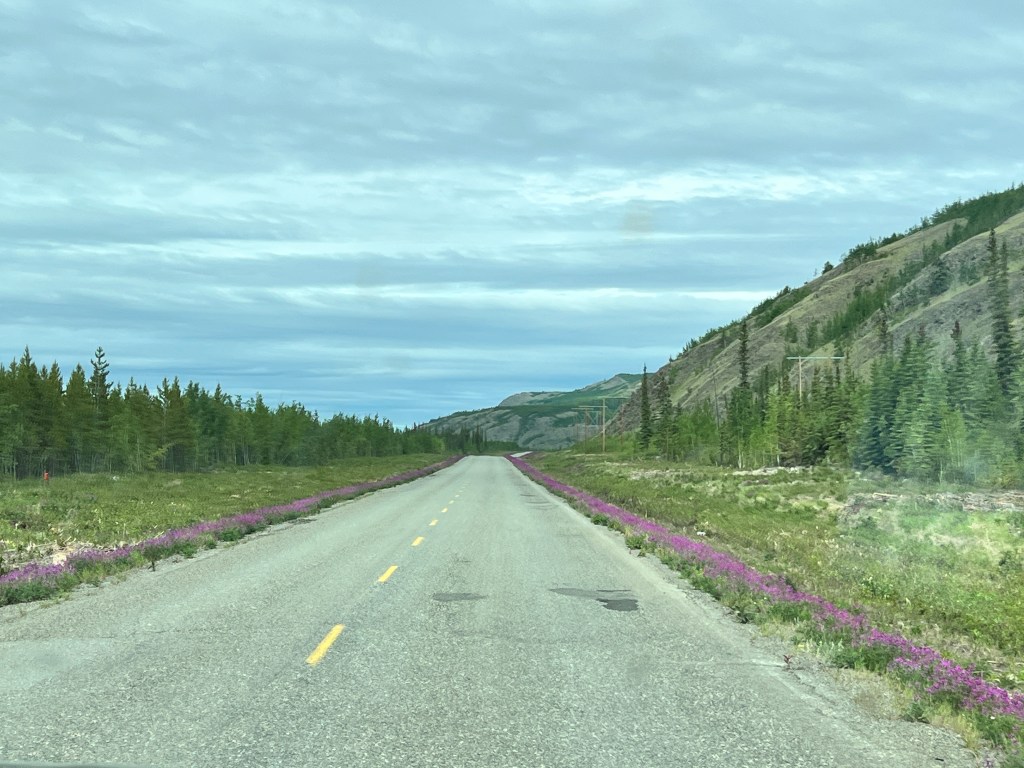
We planned to stop and camp half way there, as the dodging of potholes, constant roller-coastering pulling a trailer and construction zones made for slow going. We pulled in to Moose Creek Campground and found we had the place to ourselves…almost. I jumped out of the truck to help direct Erich and into the arms and probosci of thousands of mosquitos. They were so thick we were swatting them away, and once again the pups were snapping at the air. We weighed the torture of road vs. insect, and road seemed the least evil.
We drove another three hours, covering the remaining 150 miles to Dawson City-why not, as sunset wasn’t until 12:49 am!
The Klondike, Part 1
Friday, June 16
As I write, a wet Phinn is in my lap and we’re waiting on the highway for the US/Canadian border to open. Erich is in Boo making pancakes. Fog hangs about the mountain peaks and the sun shines weakly. We are on the South Klondike Highway heading out of Skagway, where we spent the day yesterday.
We started from Whitehorse yesterday morning, all a little worse for the wear. Neither of us has been sleeping especially well, both pups have had GI issues, Phoebe had another “seizure,” and what I thought was a targeted mosquito attack on my shoulder has turned out to be shingles. The Klondike Highway was the perfect medicine.
This was a detour from our planned route, so we hadn’t really investigated it and that made it all the more dramatic. Our first stop was stunning Rainbow Lake, where an alchemy of calcium carbonate and clay has created hues of the most amazing blue. Aquamarine, turquoise, sky blue and cobalt waters bled into one another, surrounded by the pine forest and presided over by snow capped peaks.
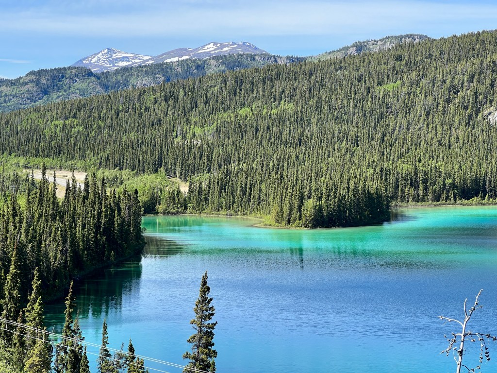
Tearing ourselves from this view, we twisted down the highway to find lake after amazing lake surrounded by peak after amazing peak. We stopped on the magical shores of Lake Tutshi at a lightly used beach. We were the only people there and the dogs chased sticks for an hour in the crystalline water and didn’t want to get back in the car.

In Seward, we dropped Boo at the marina and set off to explore Dyea.
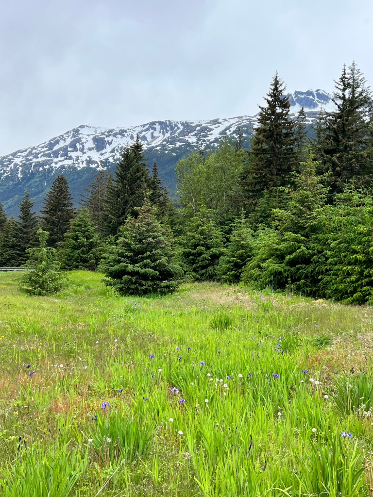
Seward and Dyea were the two main jumping off points for the southern approach to the Klondike gold fields. Seward’s approach led over White Pass, which was longer, and Dyea’s over Chilkoot Pass, which was shorter, but steep, and ended up being the more popular. A large town grew up in Dyea and supported a full time population of 5,000 or so until Palm Sunday, 1898. Ignoring warnings about avalanches by the local Tlingit who had traveled the pass for generations, over 100 men were killed and the pass gained a deadly reputation. That, combined with the development of a narrow gauge railroad through White Pass, put an end to Dyea, and it melted back into the forest.
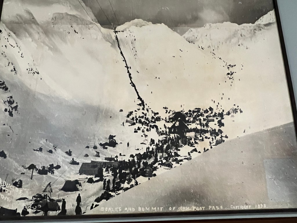
Today, you can still hike the original 33 mile Chilkoot Trail, and the Park Service has done a wonderful job outlining the streets of the former boomtown with wooden signs. At 2nd and Main streets a field of wild iris sits where once was a saloon and hotel. It’s a bit eerie to wander the old streets, seeing only an occasional rusting barrel or wooden fence as a testament to a harried greed for gold. And all around, the towering mountains, like wise old sentinels musing at the whims and greed of man.

After Phinn and Phoebe ran on what was the loading dock area of old Dyea and is now a windswept beach, we ventured further into the forest to the Slide graveyard. A peaceful walk into the pines took us to the graves of those who died in the avalanche. Sitting amongst blooming sorel, the wooden markers sat peacefully above the remains of those whose lives burned fast and hot in pursuit of riches…
Back in Skagway, we wandered the wooden boardwalks of town with the last cruise ship stragglers as the clouds began to cloak the mountains and the last tourist train pulled in from Whitehorse. Rain began softly as the Disney Wonder pulled out of port with it’s horn blasting “It’s a Small World,” and we retreated to Boo for clam chowder and reflection.
Larger Than Life
Wednesday, June 14
The name “Yukon” always held such fascination for me, conjuring images of towering mountains, forever landscapes and rugged inhabitants of all mammalian stripes. I wasn’t wrong.
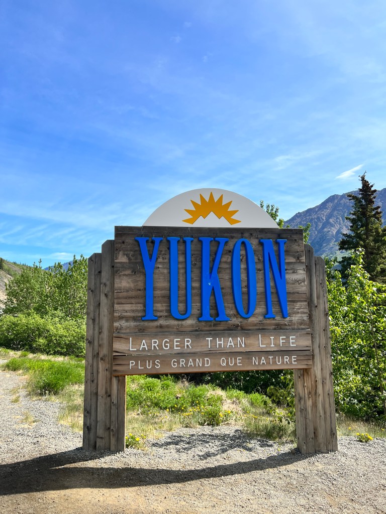
We’ve seen so many black bear and bison that they no longer need “verification,” and my mind has bent around a whole new idea of vast. Trees from horizon to horizon, bisected only by rivers and the thin strip of highway snaking into the distance.
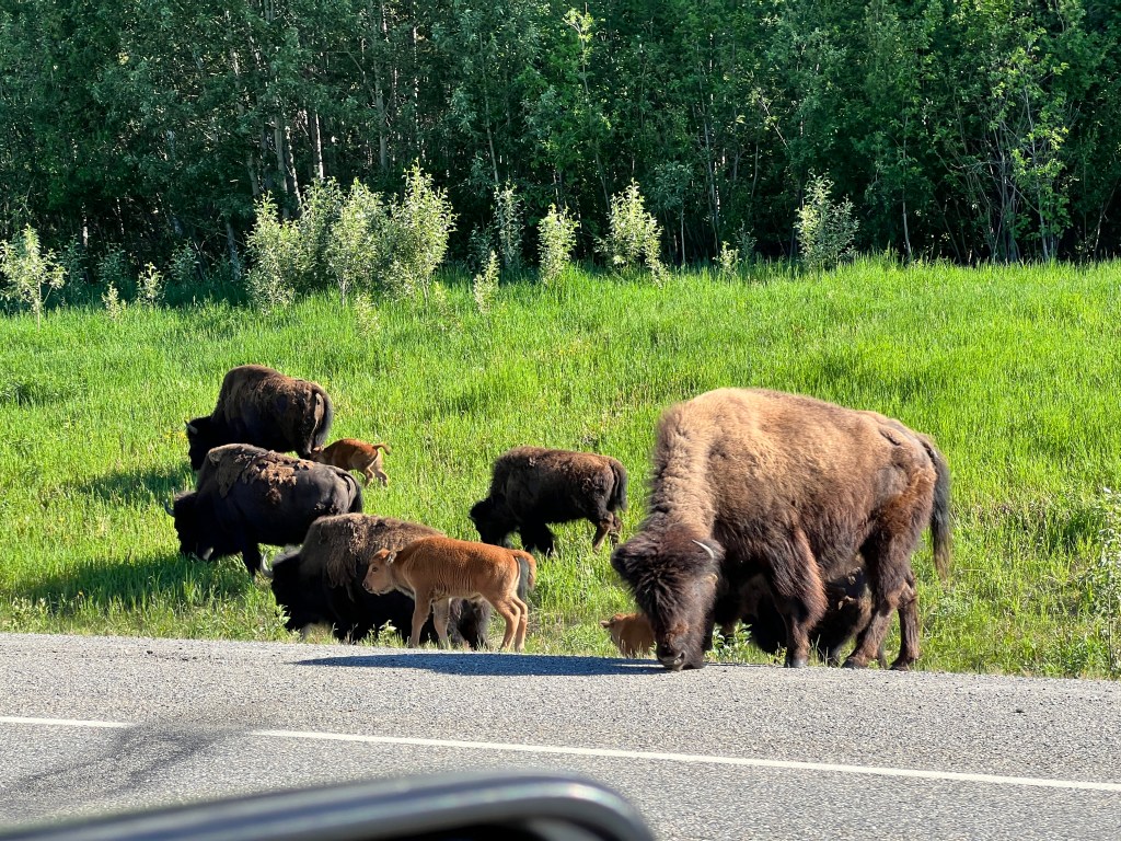
We stayed last night at Watson Creek Campground, beside a tree that had been scratched up 8 feet, we assumed by a bear and not an evil fellow camper, as the garbage bin had been scattered about as well. The pups wore bear bells and stayed well-leashed, and Phinn seemed to enjoy prancing about to the sound of his, which was apparently helpful in deterring bears as none were seen.
Our site was near the lakefront, and we awoke to loons calling at 3:30 am and wandered to the empty wooden dock stretching into the water. The sun rose gently, night really never having fallen, and cast golden rays through the steely clouds warming the gliding loons. Perfection.
On the road early, we saw many black bear and a cow moose, along with our first grizzly. The towns were very few, and many lodges along the route had been abandoned and were melting back to earth. A sign by the road warned us not to hunt grizzly within 100 meters of the highway.
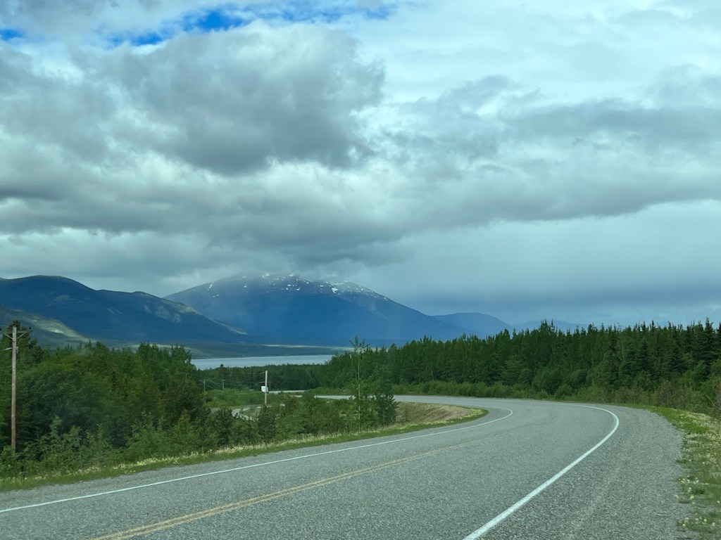
We made camp 15 km outside of Whitehorse and set out to explore this legendary town.
Our first glimpse of the city was of the winding Yukon River and the 1920s era paddleboat SS Klondike dry docked beside it. Forests fell away to distant mountains, and despite an impressive number of both modern and vintage buildings, the town felt very much a part of the wilderness in which it sits.

We wandered the riverfront, learned about riverboats, visited the historic log church, and hiked in gorgeous Miles Canyon, upriver of Whitehorse and one of many perils the Klondike-bound had to face en route to the gold fields.
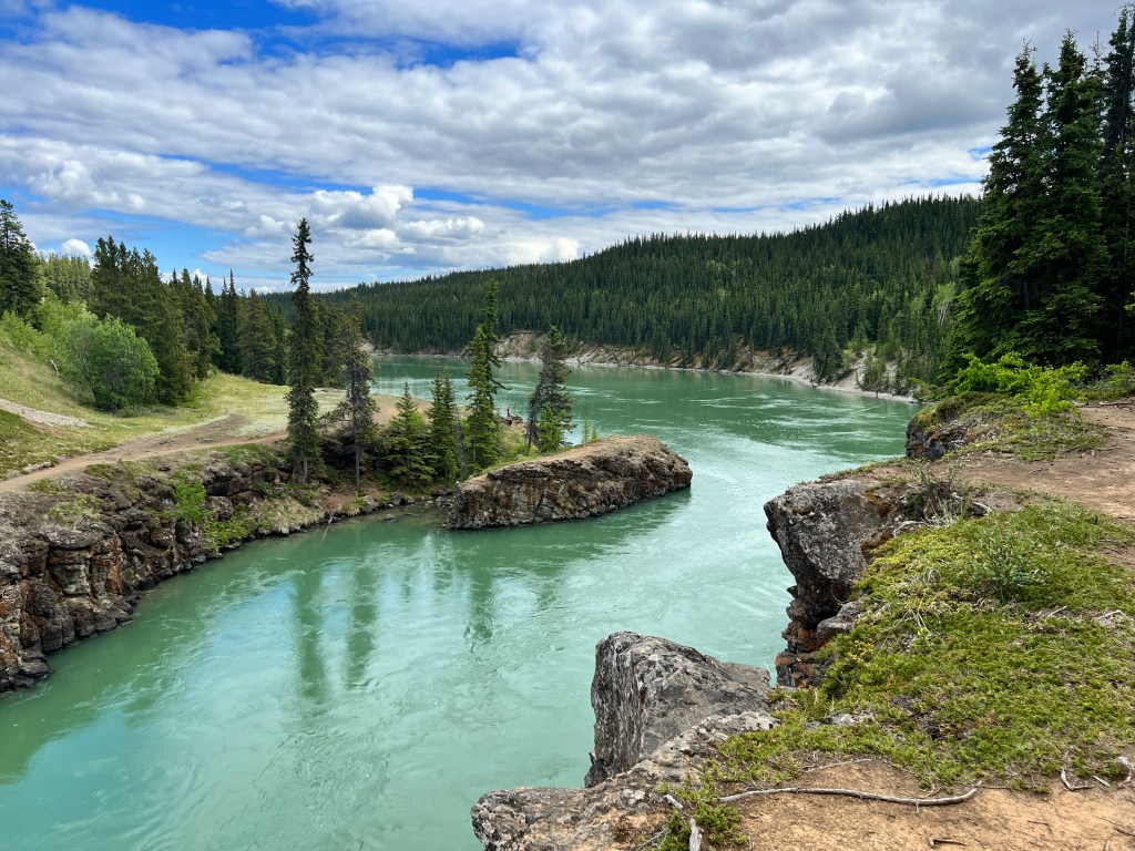
As we left town, we stopped for a very urban red fox carrying a squirrel and, like a good Whitehorse citizen, using the crosswalk in front of the courthouse.
Forest Fantasy
Tuesday, June 13
The warm water lapped at my body in waves, though the surface of the hot springs showed nary a ripple. I floated on my back looking up between aspen and spruce swaying in a light breeze and hazy with steam. Feet from my head the fern forest began, with waterfalls cascading from beneath the fronds to join the springs. Farther upslope, the minerals from hundreds of years fertilized a hanging garden of flowers stepping down the cliff’s edge, and warm spring water bubbled beneath them, joining the pool. Standing up, my feet touched the bottom lined with small stones, worn smooth by the thousands who came before to this idyllic spot-First Nations peoples, trappers, miners and finally the soldiers who built the Alcan Highway in 1942 and installed a wooden boardwalk over the marshy portion of the springs to the pools.

The boardwalk still exists, and is joined by a wood-hewn changing room, deck and stairs to the pools, all so tastefully done they look born of the forest around them. It’s a bit disconcerting to leave the fenced campground through a large electrified gate and read the signs about being cautious for bear and moose, as the springs are reached via the 700 meter boardwalk over prime moose-grazing territory. In fact, the morning of our arrival it was closed temporarily for a moose.
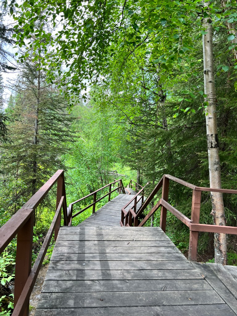
The boardwalk takes you over a marsh percolating with spring water and home to all manner of uniquely hued algae and plants and into a forest of aspen, fern, rock roses and bluebells. As I walked it, entirely alone, a soft rain started to fall and spangled the scene so it seemed even more dreamy.

The springs are open from 7 am until sunset (at 10:40 this far north) and I went back twice.
Our campsite was amazing as well-tucked into a nest of trees, large and private. We explored inside our fence with the pups, and Phinn introduced himself loudly to all the other campers, to Phoebe’s and our embarrassment. We explored outside the fence in Junior, and stumbled across Smith River Falls down a lightly traveled dirt road off the main highway. Stunning from above, we read you can hike down to it, but the sighting of two black bears en route plus the report that it was almost straight down and Phinn is a Tasmanian devil on a leash, made us think twice.

We returned to our campsite, surrounded by birdsong (who knew the white-throated Sparrow had such an earworm of a call) and drifted to sleep only to be woken at 3:30 am by the birds-close to sunrise in our midsummer dream of a forest.
Smoky Skies
Monday, June 12
It’s been an eventful 48 hours.
Our two day relaxing stay at Dawson Creek started well enough, with a hearty breakfast at the local greasy spoon, Le’s Diner, and a walk through a series of preserved log buildings designed in a town layout to look like early Dawson Creek. We strolled the wooden boardwalks and walked through the trapper’s cabin, pioneer homestead and general store. One could easily imagine how the rest of the world would have felt very far away in the 1800s, sitting in your solitary log cabin while a blizzard raged outside.
Towards mid morning, what had a been a slight haze became a thick soup of wildfire smoke. Phoebe began to sneeze and her eyes watered, and it hurt both of us to breathe and to think of what this was doing to Phinn’s budding pink lungs. We retreated to Boo at 1 pm and looked at each other-not a great way to spend the rest of the day cooped up in Boo with an energetic puppy! We called Fort Nelson, 300 miles north, and were told that the smoke wasn’t bad, so we packed up and headed there.
Driving out of Dawson Creek was pretty sad-it was tough to see much of anything through the smoke, though Erich did say he saw a small black bear. We call this kind of sighting “unverified,” as we both need to see the creature to have it count…
The rest of the drive was bleak-no wildlife, much smoke and numerous charred forests from past wildfires, but the air cleared as we got to Fort Nelson.
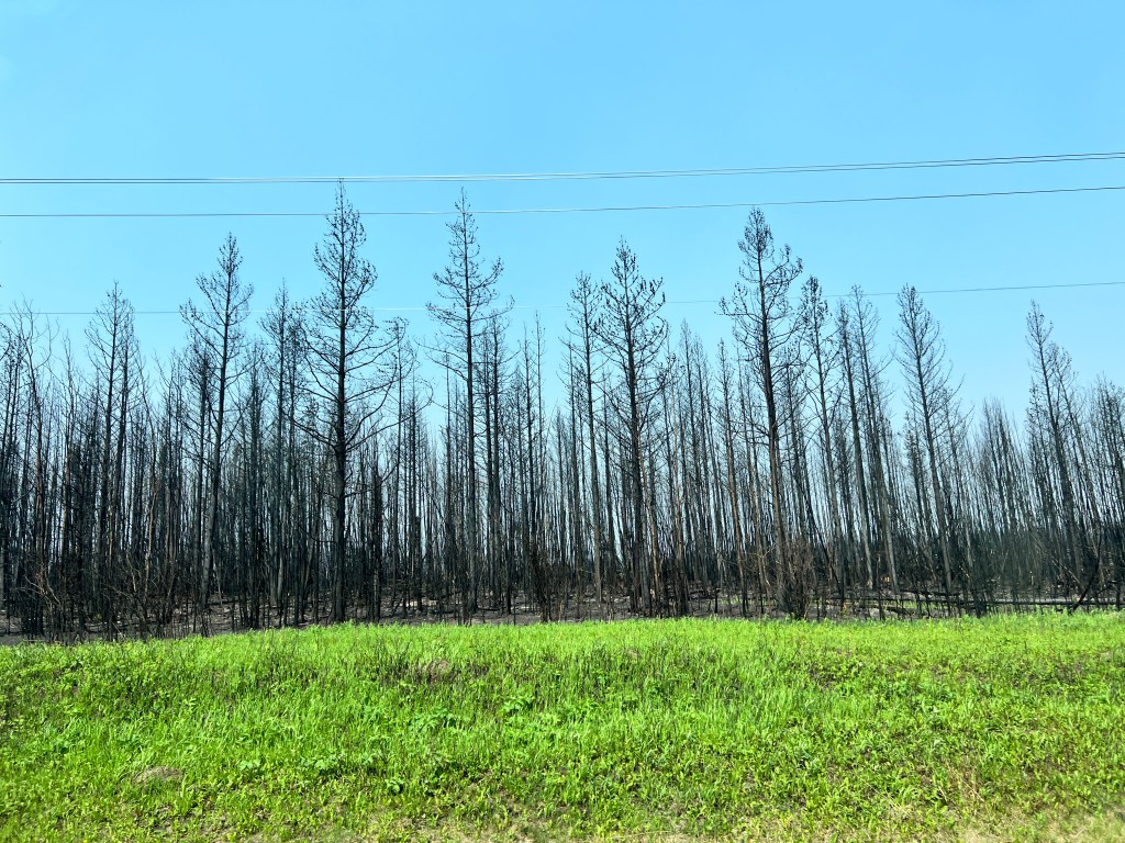
We set up camp in a lovely aspen grove, walked the pups around a nearby park, and dined at the local A & W, apparently a much bigger deal in Canada than in the US as every small town has one. After a rousing game of Yahtzee, we turned in and closed the blinds to the sunshine at 10 pm.
I dreamed of smelling smoke, and woke to the thickest smoke we had yet seen, with ash raining on Junior’s hood. The entire campground was packing up and heading out, many wearing masks. We followed suit and figured we would land where we landed, as long as we could breathe.
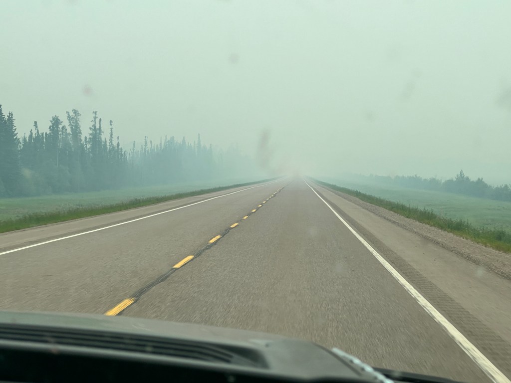
It took about 100 miles, but the smoke cleared and the drive became gorgeous. Boreal forests fell away on either side of the road, towered over by the northernmost peaks of the Rocky Mountains. A large greenbelt lined each side of the highway, which makes it easyto see wildlife coming, and we saw quite a number: bison; caribou; black bears; elk and even a very large porcupine! We stopped for pictures at the stunning Muncho Lake and saw Stone sheep, a brown subspecies of the pure white Dall sheep found in the Yukon. It was very much like the African safari we took a few years ago-just as exciting to see all the wildlife and the scenery was sweeping, vast and generally beyond words…
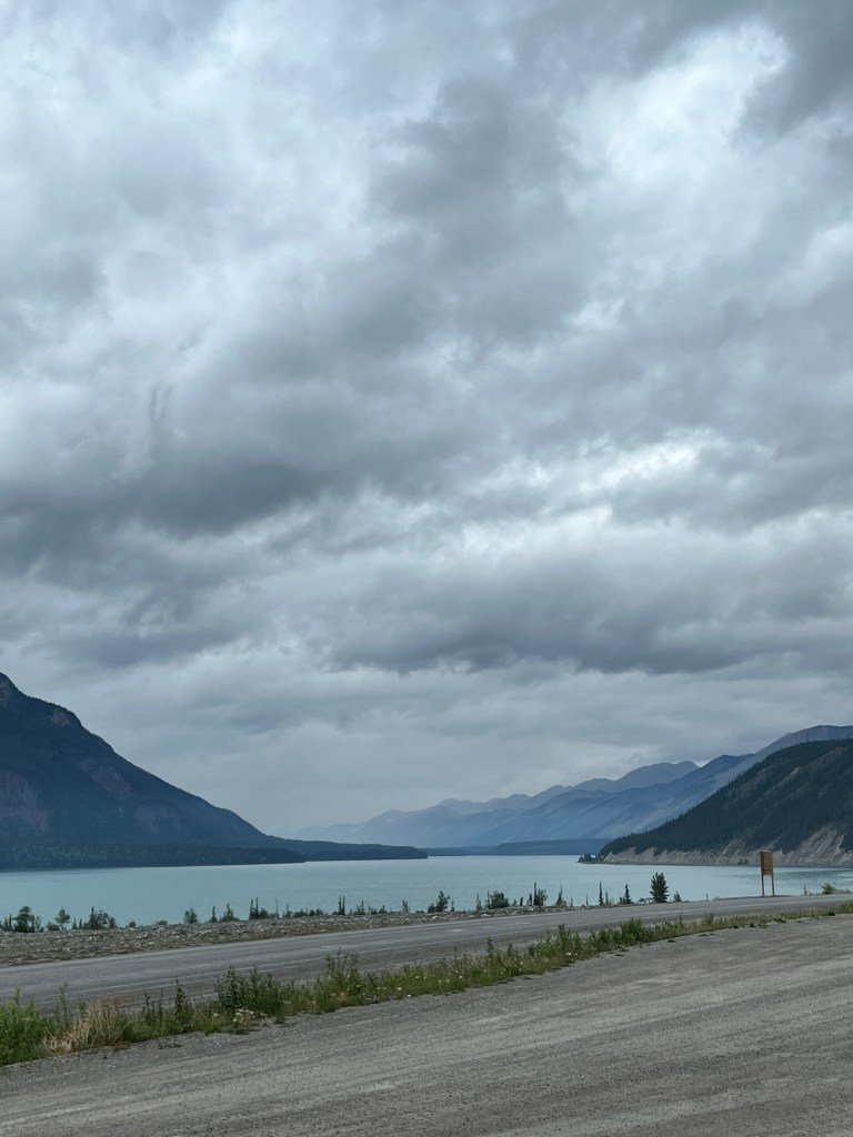
We stopped at a log-hewn lodge along the highway that had been baking cinnamon rolls for Alaska Highway travelers for 3 generations and billed them as “the best in the galactic cluster.” We found it hard to argue.
We pulled up to Liard River Provincial Park, surrounded by an electrified wildlife fence, hoping to find a spot for the night in this popular campground. Just as we were about to give up, we secured the last spot in the place…and what a place!
Mile 0
Saturday, June 10
We’ve arrived at Mile 0 of the Alaska Highway!
Deciding to get the lay of the land before we head off, we’re planning two nights here at Dawson Creek.
For the first time, our drive began to feel very remote. Outside Prince George there was little visible human activity to break up the expanse of forests, which featured stunted Sitka Spruce, many of which had succumbed to pine beetle infestation. The beetles are apparently sensitive to intense cold, and with the warming of our planet the lack of prolonged lower temperatures has allowed them to thrive. It was sad to see hillsides full of brown.
There was still plenty of green, with the aspen and alder blooming happily in the long days of sun. The beautiful Pine River curled along the valley floor, spangled in the morning light, and a routine rest stop brought us to the foot of spectacular Bijoux Falls.
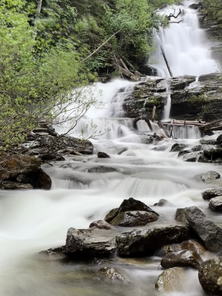
We are on the hunt for our “Alcan BIg 5,” as we are calling them: moose; bear; caribou; wolf and elk. And today we ticked two off the list-first, a pair of very large black bears grazing happily on kelley green grass, making them hard to miss, and then a cow moose wallowing in a mud bog not 10 feet off the highway. We’ve since divided bears into grizzly and black, so we still have much to see.
Passing through the small town of Chetwynd, we stumbled upon the annual chainsaw carving contest. After deciding that the dogs might not do well with the crowds and noise, we contented ourselves with looking at the artist’s gallery on main street. For the second day, I’m humbled by what can be created by carving wood.

And finally we arrived at Dawson Creek, pulling in to the decidedly more upscale Northern Lights RV Park where we joined a group of evacuees from nearby Tumbler Ridge that was threatened by a wildfire. They were in good spirits as the winds had changed and the fire was blowing back on itself and away from their town, but it’s another sobering reminder of our changing world.
First noted in 1879 by George Mercer Dawson on a survey for a viable rail route, Dawson Creek soon became settled with fur traders and prospectors but remained fairly small and unknown until 1942, when World War II compelled the development of a overland route to move supplies west to Alaska. The route began here and is still regarded as one of the great feats in engineering-completing 1523 miles of roadway through a forested wilderness in only 9 months. The completion ceremony in late October was quick, as the temperature outside was -30! And it seems like they, too, struggled with mosquitos…
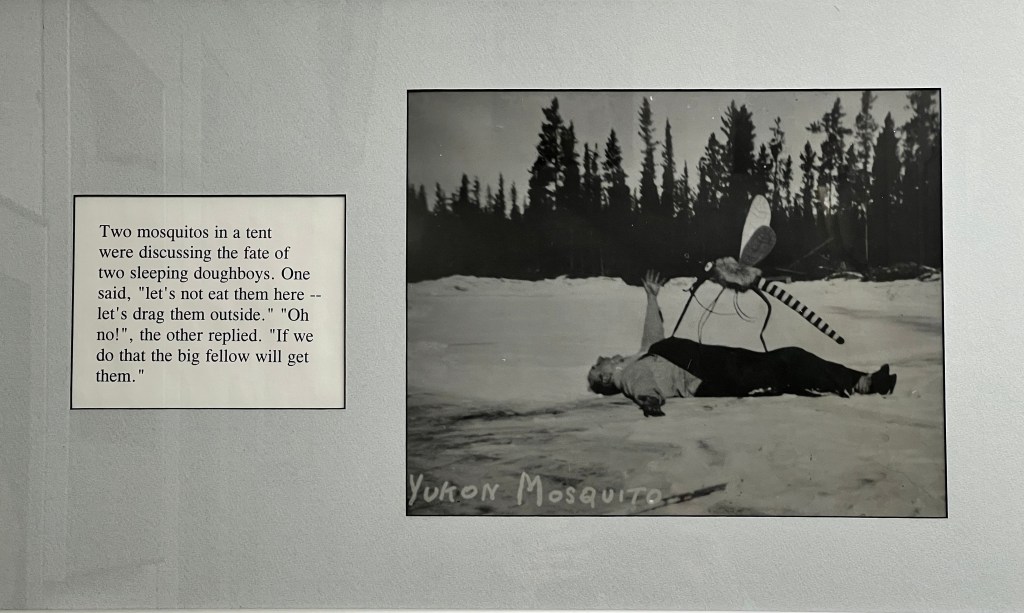
We wandered the visitor’s center and attached museum and traded photos with a Burmese man under the “Mile O” sign, excited to see what adventures this next part of our journey brings.
Alaska Appetizer
Friday, June 9
Tonight finds us hunkered down in Boo, hiding from the triple threat of heat, thunderstorms and mosquitos.
It’s been an interesting journey so far. The Alaska Highway begins officially at Dawson Creek, which is 800 miles from Seattle, so we are still in the process of getting to the start. We crossed the border at Sumas, the only ones in line and so easy compared with our COVID-era travails.
We wound up the incredible Fraser River Valley, craggy granite walls hemming in the river frothing and crashing below. The farther north along the valley we got, the higher the temperature climbed, until the thermometer read 96 degrees at, appropriately, Hell’s Gate, the narrowest part of the canyon.
Dust devils danced on the sides of the road, and if we factored out the trees, we could have been back in Death Valley.
Our campsite for the night was an RV Park tucked in the tall pines, and luckily we had electricity as Boo was a sweltering 98 degrees. After hiding out in the air conditioning during the peak heat, we spent a lovely evening under the trees as wildfire smoke slowly crept down the valley.
Off the next morning with the temperature in the high 70s by nine am. We passed abandoned mining cabins that looked like they dated to the gold rush of 1862, which brought the first non-native settlers to the area. When the gold played out, some stayed to become ranchers and later timber barons, and both industries are still large parts of the economy today.
Near the exit of the canyon, the land flattened to rolling hills, and we passed through maybe 10 miles of blackened, skeletonized trees near Lytton. The town was not accessible, as it had burned to the ground in the fire that destroyed the trees in June, 2021. Two days prior to the fire, the hottest temperature ever recorded in Canada was charted at Lytton-121.3 degrees.
Believers that this part of Canada was hot, we were concerned that our campsite for the night was in a Provincial Park with no creature comforts. However, to have the “true” experience we decided to stick with our plan and drove the 55 miles via gravel road to Lake Mahood in Wells-Gray Provincial Park.
We wove past rolling meadows and stands of aspen and pine bordering vast lakes and ended up alone, but for one other camper, in a gorgeous spot overlooking Lake Mahood. Delighted, we jumped from Junior and were assailed by swarms of starving mosquitos. The dogs snapped at the air and Phinn jumped in circles trying to figure out from whence the attacks came. We now understand the need for “Deep Woods” Off, which we applied liberally to minimal effect. We had been told that the mosquitos in Alaska were “no joke,” but we expected Canadian mosquitos to be more civilized.
Despite the incivility, we enjoyed the area as much as we could, taking a gorgeous hike through blooming salmonberry and Nootka rose to a thundering waterfall and throwing sticks for Phoebe at the lake. To our surprise Phinn, not wanting to be left out of the action or possibly just to escape the mosquitos, jumped in the lake and began swimming too-his first swim!
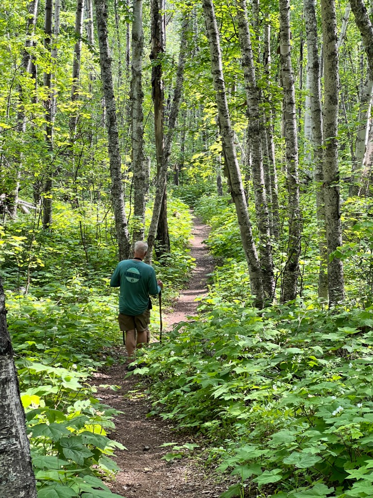
Back at camp, Boo was still a toasty 90 degrees at 7 pm. We tried our best to stay outside, re-applying Deet to just below seizure threshold and finally donning the full body mosquito suits that Erich teased me about ordering but was delighted to wear. The poor dogs remained tormented, so we all retreated to Boo where we moved only to slap our tormenters, and drifted into a restless early sleep.
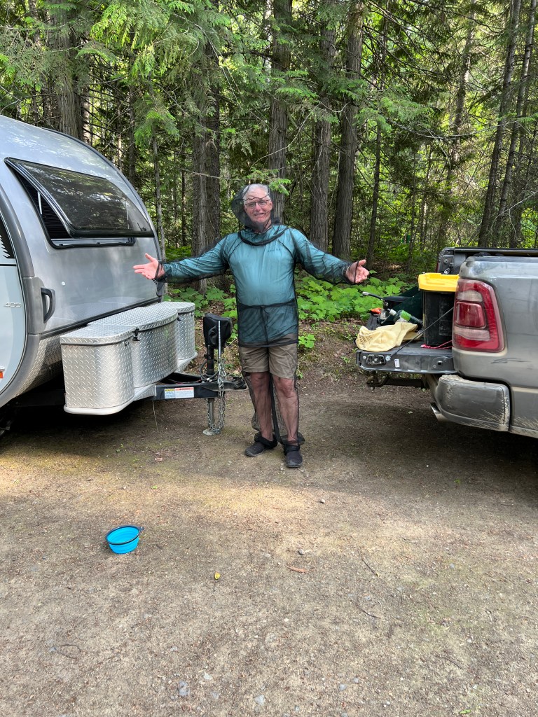
After a beautiful suited walk amidst cottonwood drifting like spindrift we departed for Prince George and our next campsite in MamaYeh RV Park. Billed as a full-service park, it was a bit shady…semi-permanent residents conducted business amongst the trees. The bathrooms were well-used port-o-lets and the “children’s play yard” a strip of grass along the main road with a sad looking sandbox filled with old toy trucks.
We set up camp with blessed electricity, and left to explore Prince George.
A former supply town along the Cariboo Road to the goldfields, it’s now a timber and transportation hub. Peterbuilt Factories and a huge freight truck repair shop greeted us at the entrance and the road was lined with no-nonsense industrial buildings. We made our way to Cottonwood Island Park, a lovely idyll amongst the industry with wide trails criss-crossing a series of islands off the Fraser River and haunting carvings on the trees.

Back at camp, the mosquitos found us again and the sky threatened rain. We retreated to our air conditioning, marveling at the fortitude of explorers like Simon Fraser, who negotiated the path of the river now named for him in the early 1800s, without air conditioning or Deep Woods Off. We clearly need to toughen up!
North to Alaska
Wednesday, June 7
The early morning sun paints the harbor in warm creamy lines. The day is full of possibility as the ferry slips out of Kingston en route to Edmonds to begin our next great journey.
It’s a trip of feeding creativity-Erich indulging his photography passion and me a newfound, or rather rediscovered, interest in art. We’re planning to browse various art and photo supply stores en route, which to me are like bookstores-filled with inspiration and dreams.
My toenails are painted forget-me-not periwinkle in honor of the state flower, Phinn is accustomed to the car and has completed his shots, and Phoebe says she’d like to see a moose. We’re off to Alaska!
The last month has been a lovely sigh. The weather has been perfect and spring is out in all her gaudy finery. Huge rhododendrons bloom in bright pinks, lupine reach for the sun in a purple haze and meadows of buttercups nod happily in the breeze.
Flowering dogwood and newly leafed maple and alder create a tapestry of multi-hued green velvet hemmed with white lace, and everywhere is the clean, crisp smell of life.

We’ve spent the month wandering gardens, catching up with friends and watching Phinn grow. Our boy has gone from rather a stout, peg-legged torpedo to a lanky tween overnight. I took him to our vet three weeks ago and she struggled to diplomatically describe his unique body habitus, landing upon the term “broad.” That night he slept curled in with me, vibrating like a jackhammer with growing energy, and when we awoke his legs had shot out 4 inches and he was “broad” no more…
And so our little pack prepares to set off on a new adventure, dreaming of sweeping Alaskan landscapes under the midnight sun and (quickly) dipping toes and paws in the Arctic Ocean.
North to Alaska!

Nature’s Baccanale
Saturday, April 29
The smooth, clear waters of Agate Pass lap at the beach and long shadows stripe the grass at 6:30 am. Seagulls coast over the scene, blinding white in the morning light as our tattered Bhutanese prayer flags lift gently in the breeze. I understand why ancient peoples worshipped the sun, and this from a former dermatologist!
The last few days have brought a much anticipated change in the weather-the glorious long days of sunshine have returned to the Pacific Northwest, at least temporarily.
Phinn had his last major puppy shots this week, though we still have rabies and leptospirosis to go before we can head north. We decided to celebrate his newfound freedom with a trip to the mountains, our first this season.
Crossing Hood Canal, the waters a cobalt blue contrast to the green headlands and purple, still snow-capped mountains, we were reminded of why we love the Northwest. When the sun is out, there is no more beautiful spot on earth.
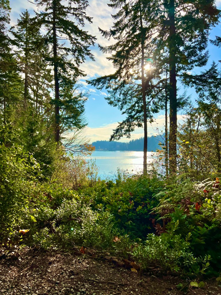
We wound through the old growth of Olympic National Forest punctuated by bleak clear cut and emerged further down the Hood Canal at Brinnon, where we attempted to check out it’s impressive Visitor’s Center.

I reacquainted myself with my local friends-Douglas Fir; Sitka Spruce; Hemlock and Alder- as we snaked up the road following the Dosewallips River on the eastern edge of Olympic National Park.
The gravel road was pocked with potholes and the forest bore evidence of a hard winter-alder blown down like pick-up sticks and sawdust on the road where the bones of larger winter casualties had been cleared away.
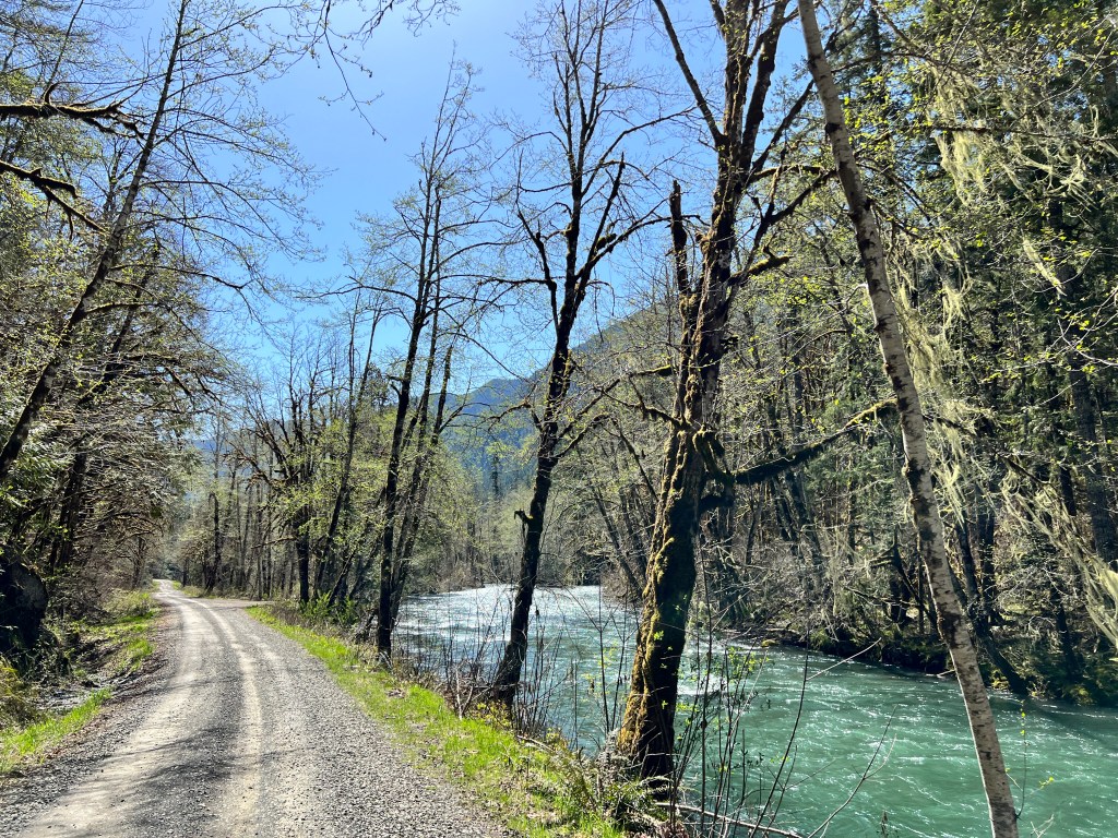
But life is returning in earnest: Moss draped big leaf maples bristled with buds; water seeped down fern covered cliffs in any channel it could find; large ponds by the broad path at Tunnel Creek boasted big-talking frogs, who croaked loudly until we got within 10 feet of them, then vanished; butterflies fluttered around Phoebe’s purple harness, and the air was luxurious and warm, filled with the clean, green scent of spring.
Our new pup took it all in, watching his older sister for a guide, and it seems he’s going to love the outdoors as much as we do! We wandered moss draped trails, crossed briskly flowing creeks (OK, so one of us was carried…) and generally reveled in the miracle of life returning in 4K to what was a study in gray tone just a week ago.
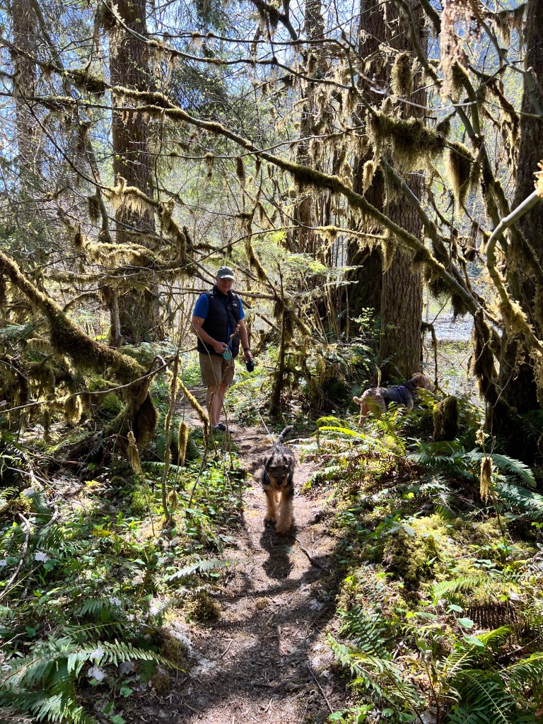
Back home we sat outside and relaxed in the sunshine, drifting in the smell of our neighbor’s freshly mowed lawn, as dragonflies hovered in iridescence and the friendly burble of floatplanes heralded another Seattle summer.
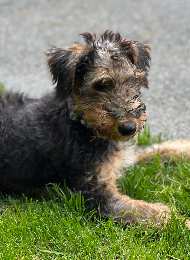
Spring Showers
Wednesday, April 19
It’s raining in a thousand mile radius. I know, as I’ve looked to see where we could go to escape the relentless rain. As it turns out, nowhere.
There are a few other things keeping us home these days: Phinn’s shots; the desire not to drive forever to see the sun; Boo’s impending tune-up and various medical appointments to keep us tuned up as well.
There have been moments of beauty between the raindrops: A fingernail of moon trailing a shawl of fog floating over the spiny pines; the resonant echo of sea lions’ breath accompanied by a puff of vapor as they glide down silky Agate Pass at ebb; An azure blue piece of sea glass winking brightly from beneath a clamshell at low tide; The heavy crimson rhododendron blossoms crying “spring” in the driveway, and the occasional flaming pastel sunrise.
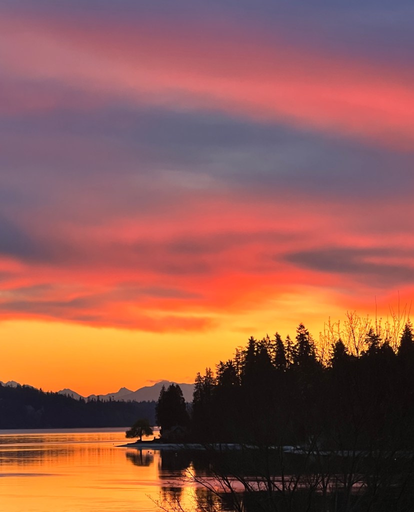
And, of course, the most life affirming of all-our new pup growing like a weed and becoming fast friends with Phoebe.

It’s lovely to hear the soft padding of his paws on the hardwood as he investigates his new home. Phoebe’s been a wonderful mom to him, and they play constantly. The rain has been a bit of a house training issue, as Phinn has asked us repeatedly if we enjoy pooping in the rain to justify his behavior. Both dogs wonder why we are taking them so frequently to the local Walmart, returning with various machines and potions we deploy on the best smelling parts (in their opinion) of the home.
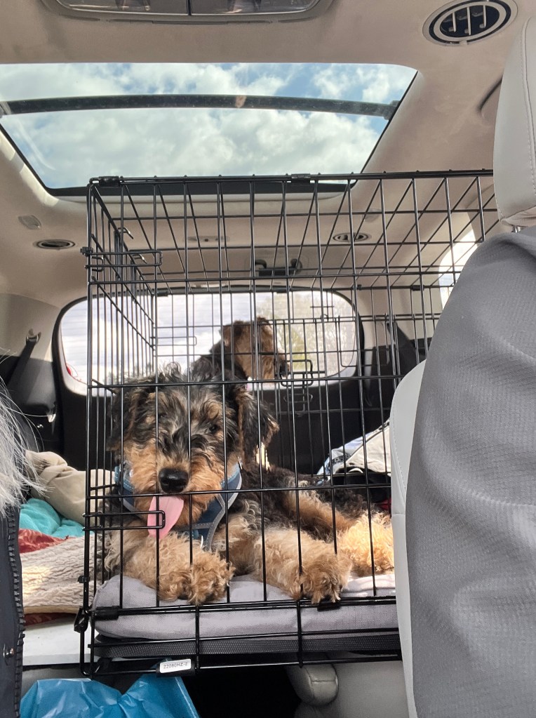
It can’t rain forever, and we’re looking forward to getting back on the road in June with plans to take on the Alcan Highway to the Arctic Ocean. This could be a mistake with a pup, but we trust Phoebe will introduce him to road trip etiquette and we won’t have repeat performance of the poop splattered trip home from California.
In the meantime we’re working on Boo improvements with some diligent helpers while the rain patters down…
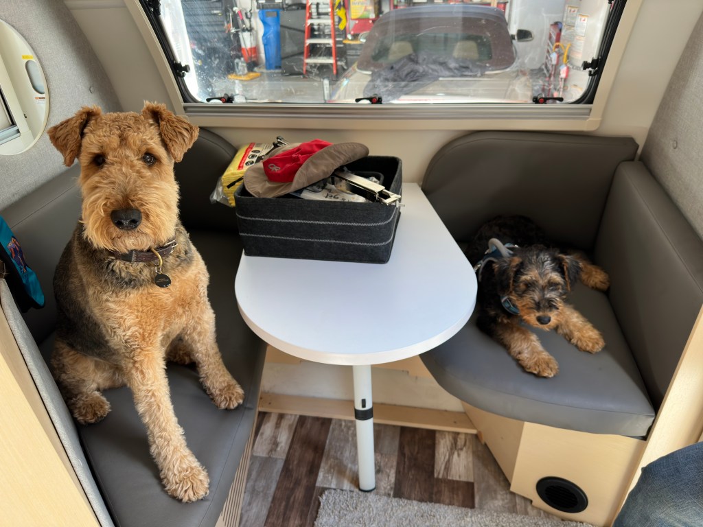
Phinn’s Firsts
Friday, April 14
Having a very young puppy has been confining. We are waiting for him to get all his shots so we can expose him to other dogs and different situations without anxiety, and we seem to have a mother load of anxiety…
Perhaps it’s the trauma of what happened to Bertie, but we’re hovering like helicopter parents.
Yesterday, for the sanity of all concerned, we decided to take a field trip to Skagit Valley to see the tulips in bloom.
That meant Phinn’s first road trip via ferry, and he seemed non-plussed by the whole affair, sleeping on his back with his legs in the air most of the way.
Skagit Valley, about 40 miles north of Seattle, is much like the lowlands of Holland, hence the profusion of tulips in the spring. Driving down into the valley, rectangular swaths of yellow, red and purple mark the land and the roads are lined with charming farmhouses gussied up for spring.
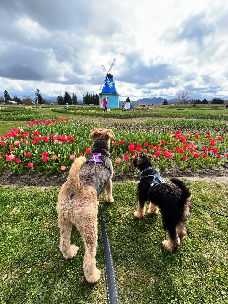
As usual, it was an overcast, chilly day and the farm that allows leashed pets sat in a bit of a dell and lagged behind in the tulip bloom. Six acres of manicured lawns surrounded beds of almost-there tulips, daffodils and hyacinths. A pond in the middle sported geese and ducks, and between the smells of the grass and flowers and the honking of the geese, our boy was transfixed. One could almost watch his hard drive writing all his new experiences.
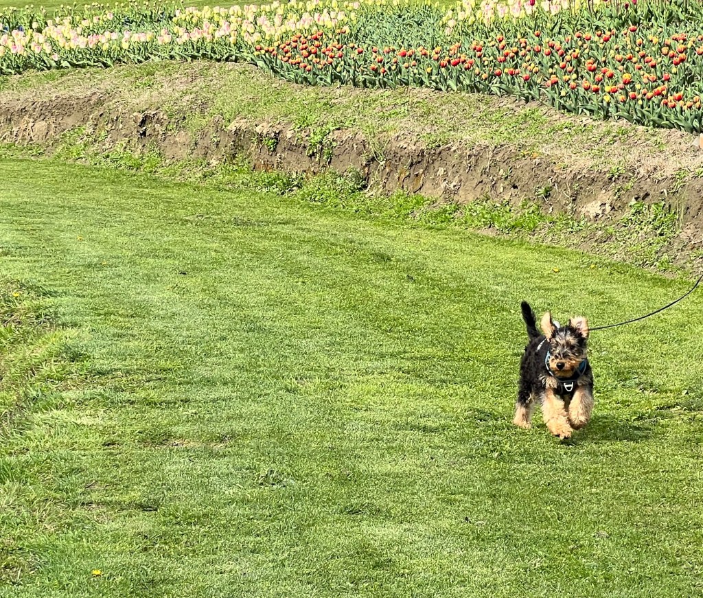
He galloped after Phoebe in the grass, tripping over his huge paws; he ran after the geese, then turned tail and fled when one took him on; he sneezed after smelling a particularly fragrant violet hyacinth and then sat, processing, looking like Rodin’s “Thinker,” after our second lap around the farm.
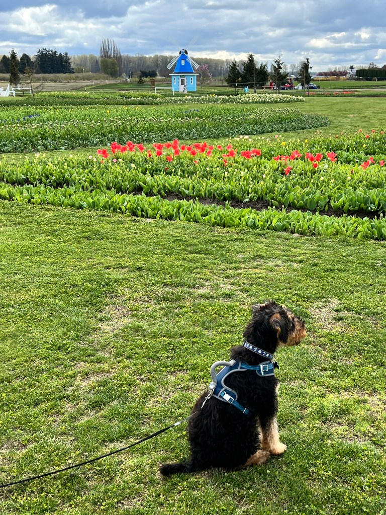
He slept as we toured the rest of the valley and was up and ready to go when we arrived in La Conner, a charming village filled with art galleries, bookstores and restaurants on the banks of the Swinomish Channel. He had his first leashed walk along the waterfront and pranced along like a Lippizaner, stopping at every dog water bowl to indulge. Phoebe looked on in disgust as she disdains any “public” water.
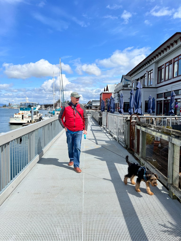
He traveled home as seems to be his road trip style, on his back, feet in the air. HIs paws twitched and he whined as he had his first dream, possibly of geese, hyacinths and his first Northwest spring.
The Phinn Bubble
Monday, April 2
What a difference a day makes.
We arrived at our breeder’s home at 4 pm to meet our new boy. The last of a three pup litter, he was alone in a front room enclosure and ready for company. He jumped up immediately to greet us with licks and nips, and we were immediately taken with his lovely brown eyes.
After we got to know each other a bit, we brought Phoebe in to see him. Cautious and curious, she sniffed and then dismissed him. We got Phoebe almost 9 years ago from the same breeder, and we were delighted to find out her mom was still alive and going strong at age 14. The two of them met, and seemed to know one another, but them Phoebe became overwhelmed and headed for a quiet corner-something we were all going to long for in a while.

Devon Allen, our breeder, was concerned that we were camping and told us a horrifying tale of a puppy he sent with a family to Oregon several years ago. They camped along the way home, and the pup got into something at a campground and developed kidney failure. He didn’t survive. Though we are extremely cautious, Erich especially, this upset us and immediately changed our plans. Instead of camping up the Oregon Coast, we resolved to head straight home the next day.
Packing Phinn in to the car, we headed back to Marin. Phoebe was decidedly out of sorts, and after a few cursory sniffs at him in the back seat, she spent the hour long drive in my lap (very unusual for our aloof, independent girl) trying to avoid him.

We had a decent first night in the trailer, as he’s a good little sleeper, and headed off in the morning, planning to make the 13 hour drive in a day.

All the best laid plans…first, Phinn was completely intolerant of being in a crate and we had to reconfigure the truck so I could sit in the back with him and hold him. Next, we hit a winter storm and despite Phinn telling us he needed to go out and having puppy pads on hand, seat and everywhere else, both of us were soon the victim of unfettered puppy diarrhea while Erich navigated a blizzard.
Not a big fan of stool, I spent time gagging and cleaning at the next rest stop and Erich offered to sit in the back with him.
This entire trip, Erich been the sole driver, and has done an amazing job. I have no great fear of towing the trailer, but don’t have the confidence or skill he does. I took over as we navigated 5 mountain passes in winter storm warnings. With me at the helm in that weather, we were never going to make Seattle in a day and ended up camped outside of Eugene in a combination of rain and sleet, wary of everything on the ground. Of course, Phinn was interested in everything on the ground, so we hovered about him doing constant mouth sweeps. Phoebe remained in the trailer with her head in a corner.
We limped home the next day, a tired but safe quartet.
Phinn now has a corral in the front room and is learning the ins and outs of life on Agate Pass. He’s still not fully immunized so we are keeping him in his Phinn bubble for a while with Phoebe his only canine company. She’s still mostly refusing to look at him, but did play for a while yesterday, so there’s hope!
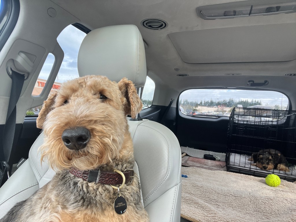
Needless to say, it’s still raining…
Phoebe’s Fest
Saturday, April 1
We picked up Phinn, our 12 week old airedale terrier puppy, yesterday and life as the three of us knew it changed.
Phoebe has never been an only dog-she lived 7 years with big brother Joe, and 2 with little brother Bertie until last July. She has never seemed especially comfortable being the center of attention as the family dog, so we arranged for Phinn to join us last November.
As we have been on this journey together since December, Phoebe has become increasingly more comfortable in her role as the solo dog. She’s been such a sweetheart this whole trip, and has been a favorite around the condo, where she’s known as “el caballito,” meaning “little horse,” and waved to from car windows with calls of “Go Phoebe!” on our daily walks.
Still, we feel badly leaving her alone at the condo or in the car, and were looking forward to giving her some company.
Nevertheless, it was somewhat bittersweet to think our trio was coming to an end and we resolved to give her the best few days we could.
We awoke to filtered sunshine after a night of storms in Morrow Bay, and went for a long walk before heading north to Sunset Beach, outside of Monterey. Upon arrival around 11:00 am, we discovered that the park might be closed as a result of storm damage. The ranger was to make the decision around 2 pm, so we headed down to the beach where Phoebe chased sticks in the sunshine until we were allowed in to our site.
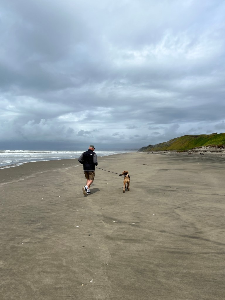
Greeted by a bouquet of wildflowers and several shells laid on our picnic table, our site was charming and grassy, under large coastal pine trees and only a short, flower-lined walk to the beach.
We headed out to Monterey for a walk on the wharf. Typically, we started the walk in lovely sunshine and then it began to rain…and then to hail. We hunched over Phoebe to protect her from the hail and returned to the car completely soaked for the umpteenth time this trip. We turned on the heated seats and drove through lovely Pacific Grove, watching the storm battered waves break on the shore.
After a morning beach walk in post-storm subtle sunshine, we headed north to Diablo State Park, only a 15 minute drive away from where we were to pick up Phiinn. The drive through Bay Area traffic was challenging and the road to Diablo became narrower and narrower until it was only one lane and trees slapped Boo’s sides. We rounded a bend and came up against a “road closed” sign. With no warning to campers with reservations, the state had closed the road. A timid looking woman sat in a Prius behind the closed road sign, apologizing profusely for what wasn’t her fault. Unfortunately, the closure left us with little room to turn around. After a 15 point turn, some damage to Junior’s bumper, and a “Great Moments in RVing Award,” Erich managed to turn us around and we searched for RV parks in the area.
After that nerve-racking experience, we decided to treat ourselves to the expensive Marin RV Park for two nights. We’ve always loved Marin, and I wanted to go to the Muir Woods anyway, so off we went.
As it turns out, the only unpleasant part of Marin County happened to be our RV park. A gravel lot with railroad ties separating the spaces and an overflowing dumpster, this was not the rural paradise we had imagined, but at least we had a site and were safe.
Perhaps a trip to the Muir Woods would soothe man and beast? After dropping Boo, we headed down the lovely rural lanes and about a mile out from the Woods hit a traffic jam. Turns out the Muir Woods are open “by reservation only,” and on this Monday afternoon, all was reserved! One of those days…
We navigated to Muir Beach where we were able to find a parking spot and took Phoebe for a lovely walk, then sat overlooking the beach in the warm sunshine. We drove home via a pastoral valley, closed Boo’s shades and enjoyed the Mariner’s season opener.
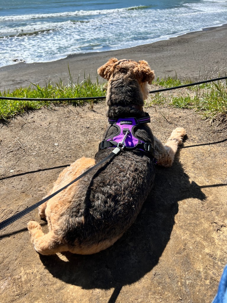
We awoke to fog-filtered sunshine and set out to Fisherman’s Wharf in San Francisco for one last walk with Phoebe alone. She’s a big fan of seals, and we decided it would be a special treat to show her the sea lions at Pier 39. The Wharf was just how we remembered it, and it was a lovely day with sailboats gliding by Alcatraz and the Golden Gate Bridge in the distance. Phoebe loved the smells and the sea lions, we all shared a chowder bread bowl from Boudin Sourdough Factory, followed by a Ghirardelli hot fudge sundae and stroll through the square.

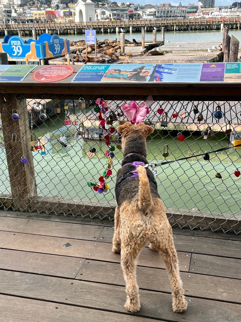
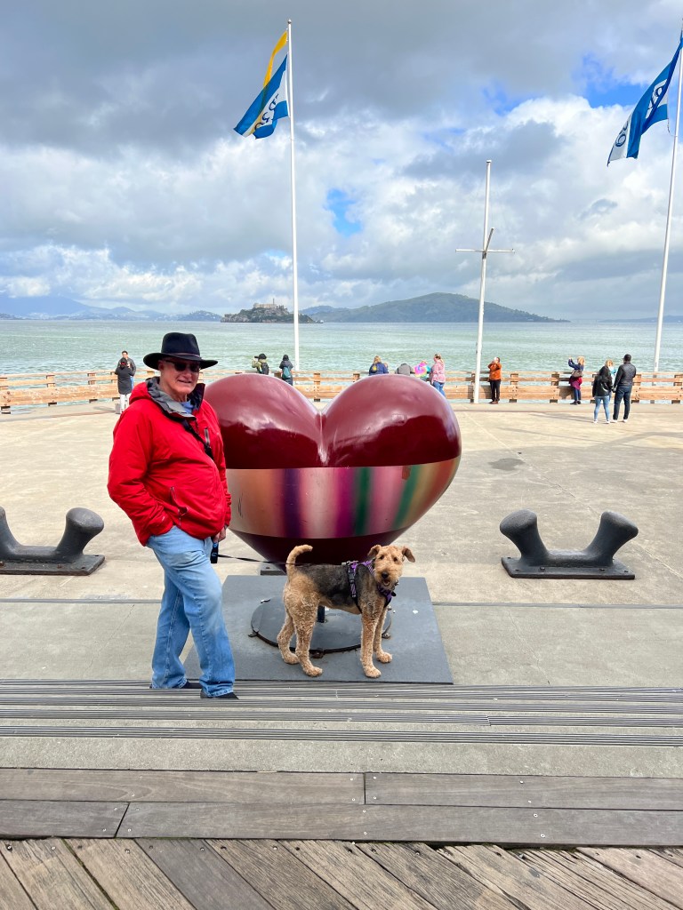

Then off to Concord for the Phinn pick-up. Phoebe helped pick out his gear at Petco, and got a few extra treats herself. Then one last pastoral walk by a herd of cattle at a county park, where we lavished her with more attention, treats and compliments. We couldn’t have asked for a better companion these past 4 months and only hope she can understand how much we love and appreciate her, and hope our next chapter proves equally fun for all.

Yes, we have become those crazy dog people…
Back on the Coast
Wednesday, March 29
Headed westward again and up and out of the interesting emptiness of Death Valley.
We past several dying towns on the edge of the China Lakebed, desolate places where we saw no humans at all and the only building that looked occupied was the senior center, the young having left long ago.
Suddenly we saw green, and were up and into the foothills of the Sierras. Rolling, Kelley-green hills stretched to the horizon, a sight like water for the soul after such blight. Wildflowers bloomed in profusion in large sweeps of yellow, gold and purple, and meadowlarks provided a soundtrack of spring.
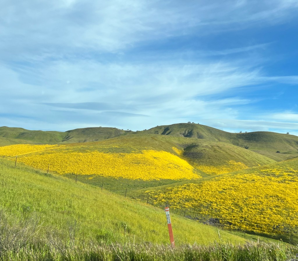
We stayed in Bakersfield overnight, re-provisioning and doing laundry, and spent the evening listening to traffic noise, which was louder than we remembered after being a few weeks off the beaten path. Departing as soon as we could, we headed for Morro Bay, arriving in only a few hours to a completely different landscape.
A mist suffused the air and softened the already laid back look of the small beach houses that lined the lanes around the bay and the seamount of Morro Rock. The sun shone warmly, though of course a storm was forecast for the afternoon. We dropped Boo off at her beachside spot and took Phoebe to the expansive dog beach nearby, where she chased sticks to her heart’s content. Having exhausted her, we headed into the charming downtown, had pizza at a local shop decorated with surfboards, and strolled the town center where otter rode the gentle waves scratching their bellies and the familiar cry of gulls filled the air.
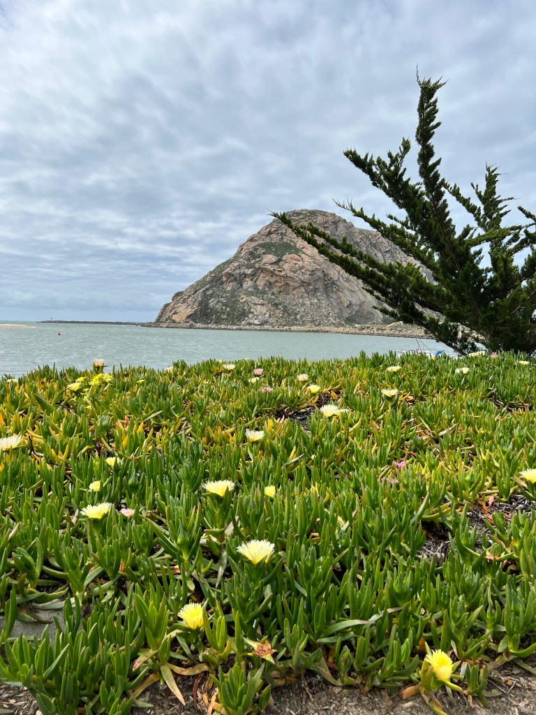
Soon the sun gave way to a gauzy cloud cover, and the wind began to whistle through the rigging of the sailboats. The storm’s prelude. We headed back to the car and investigated rainy day activities as the first drops fell.
Hearst Castle was only 30 miles north, and it’s a spot I’ve always wanted to see. As Phoebe was still collapsed from her morning run, we decided it might be the perfect rainy day activity and headed north.
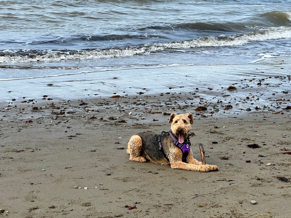
On the way, Erich decided he’d rather spend the time photographing, so he dropped me off and I was excited to secure a tour of the “Great Rooms” only 10 minutes hence. By this time the storm was in full force, with wind and rain, so I was grateful to spend the next 70 minutes inside…only I wasn’t. The tour was half outside and started at the Greco-Roman Neptune Pool, where I was soon soaked to the skin again and dripped through the remaining tour of opulence. It was still quite amazing to see the place, but I think I’ll return in the sunshine for full effect. The tour guide kept saying “on a nicer day, the views from here are amazing…” and our poor bus driver (there’s a 15 minute bus ride from up a winding mountain road the the castle) had to keep sweeping at the windshield with his shirtsleeve to clear the humid film so he could see as we twisted down the foggy road back to the visitor’s center. We all applauded when we arrived safely.
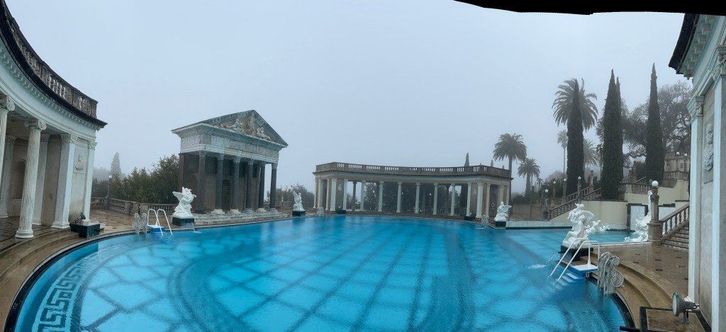
Erich picked up his drowned rat of a wife and we enjoyed hot clam chowder and a rousing game of National Park Yahtzee in Boo as the rain and wind buffeted her through the night.
Death Valley
Monday, March 27
Both of us have wanted to see Death Valley, though many of our friends who have been there question why. Perhaps it’s a bit like our desire to see the Salton Sea, and having done so once we’re content not to return. In any case, we departed our oasis early for the drive to Stovepipe Wells in the heart of Death Valley.
Spurred on by the face that there were no campsites available by reservation-those that remained being first come, first served-we drove quickly through Las Vegas and stopped for gas at the very bleak looking Area 51 station. A few worn buildings stood huddled together selling alien-related kitsch and a family in a minivan filled their tires from an air pump located in front of “The Alien Cathouse Brothel.”

Onward into the bony landscape. Wild burros stared from behind creosote bushes as we climbed the mountain foothills surrounding the valley. Soon we were surrounded by bare rocky peaks and cresting a rise stared down into the wide, parched valley below. Dust devils whirled in shades of white and tan, the only movement and life visible below.
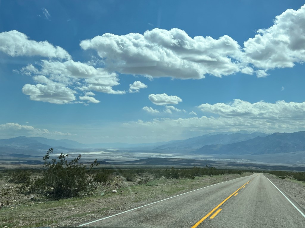
Pulling in to Stovepipe Wells on the valley floor, we were heartened to see we had our pick of campsites, such as they were. A hardscrabble gravel space about the size of two football fields was marked off with athletic chalk in a grid like a parking lot for RVs and tents. We paid our $7 fee for the night, and left Boo looking forlorn as we headed out to explore.
We had heard that Titus Canyon, a 4 wheel drive road that snakes from the east entrance through a tight canyon to the valley floor was a highlight, and we headed there first. After driving 40 miles and starting down the road, we saw a “road closed ahead sign” and has to turn around. Turns out epic storms in the summer had washed out most of the 4 wheel drive roads, so we turned around and followed another gravel trail to Rhyolite.
Rhyolite is a ghost town at the site of a booming silver mine active in the early 1900s. It was very prosperous, having numerous large poured concrete buildings, and was serviced by three railroads, It’s quite eerie to see what has become of the place in the past 100 years.


As we drove in via a back trail, we came across the rusting remains of an old Model T. Set against the backdrop of the dry, rock hills this set the tone. Cold wind howled down “Gold Street” and picked at the skeletal remains of the Cook Bank building. The old train depot, a beautiful mission-style building, stood proudly at the end of the street, slowly being overcome by Joshua Trees. One of the few remaining examples of “bottle house” architecture (built from bottles and concrete, as wood was hard to come by in this barren land) sat at the edge of town, the most intact building in the remains. We drove silently back into Death Valley, contemplating our mortality.
Back in the Valley, we headed for “Dante’s View,” a prime spot to see the sunset. We drove, and drove, and drove…past the abandoned Borox mines (the origin of “20 Mule Team Borox”) several impossible palm tourists oases at Furnace Creek, a bony, confused looking coyote, and many arid hills and canyons of crumbling, rocky beige earth. Still miles from our destination with minutes to sunset, we turned around and watched the sunset from the Mesquite Sand Dunes, bare feet burrowed in the cold, sugary sand.
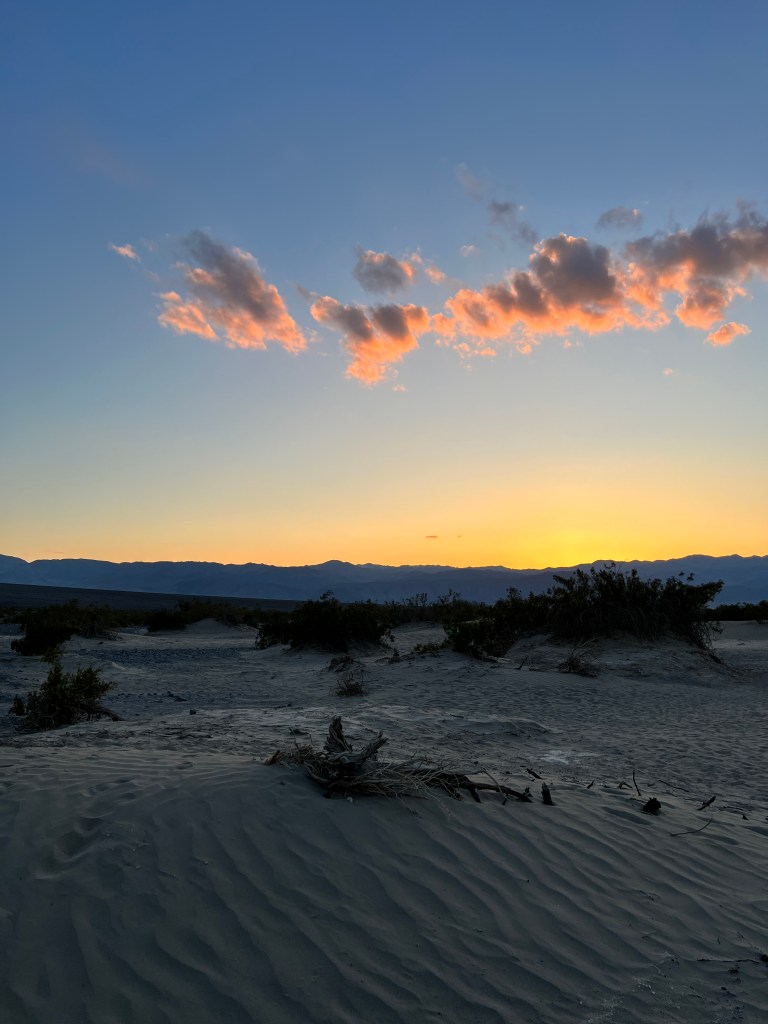
Back at our parking lot, we watched the stars come out one by one, until the whole galaxy stretched from horizon to horizon with the milky way a white smudge on the black firmament.
Death Valley has it’s charms.
Black (Floral) Canyon
Sunday, March 26
Leaving the Grand Canyon was made easier by the persistent snow and we were ready for warmer climes. Erich put water out for Phoebe that froze before she could drink it and we had to chip Boo’s welcome mat off the ground!
Hoping not to see these temperatures for another year, we headed out and down-from 7000 feet to 700. We landed at Willow Beach on the downstream side of the Colorado after it is pent up by the Hoover Dam.
The landscape going in was not auspicious-bald, dark and craggy hills surrounded the highway and the earth was parched and rocky as we pulled up to the entrance station at the Lake Mead Recreational Area. The campsite was down another 1000 feet and as we wound our way down, the flowers began. Enormous blooming sunflower-yellow brittle brush dotted the hills, lupine grew in clumps of purple and lemon-yellow chylismia grew everywhere else. Our campsite, near the turquoise shores of the still Colorado, had blooming brittle brush all around and most importantly sat in a glorious patch of sunshine.
Phoebe was delighted to see water again, and chased a stick until exhausted, after which we all piled in Junior and set off on a jeep trail through Jumbo Wash.
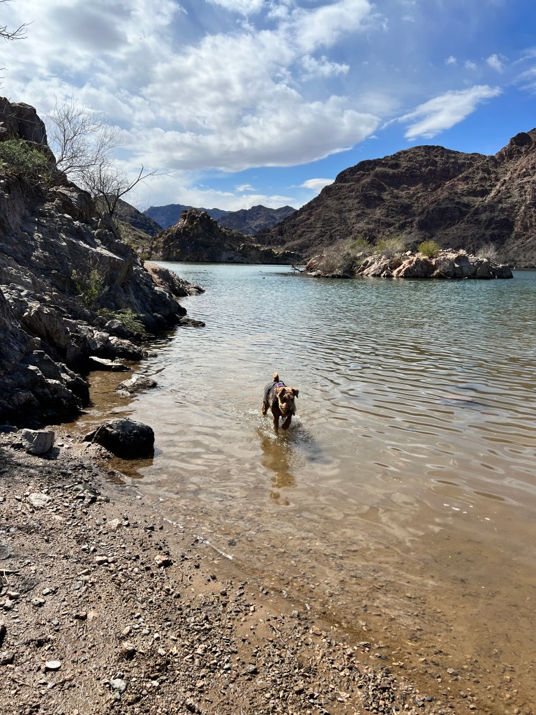
We passed only one other car on the twenty mile drive over the easy dirt road, and both occupants were women with enormous smiles on their faces. It was impossible not to smile driving through this surprisingly lush landscape surrounded by such dark, forbidding cliffs. As the road snaked into the distance, a faint perfume hung in the air and flowers crowded in on all sides-the world was a bouquet through which we navigated.
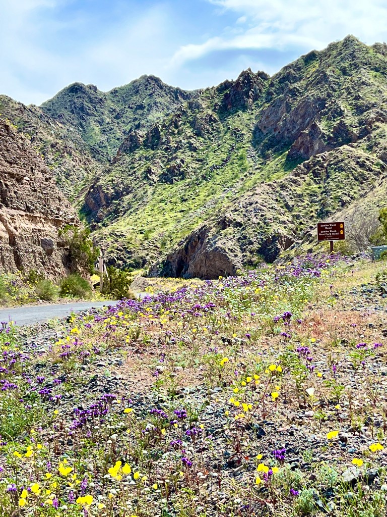
Back on the pavement and so close to Hoover Dam, we had to drive the 10 miles to see it. I have flashbacks from hours spent at Hoover Dam in my youth with my Hydrologist father who was fascinated by the construction, and thought I should be as well. Not usually the fare to entertain a 7 year old, the experience made me dread the dam (we went there numerous times) and what better time to face my fears!
We arrived quite late, and could not park in the garage with Phoebe nor take her with us, so we contented ourselves with the view from the recently constructed Mike O’Callaghan-Pat Tillman Memorial Bridge that provides a spectacular view of the dam and is an amazing feat of engineering and construction itself. I spent an hour reading the wonderful display about it. My dad is somewhere smiling.
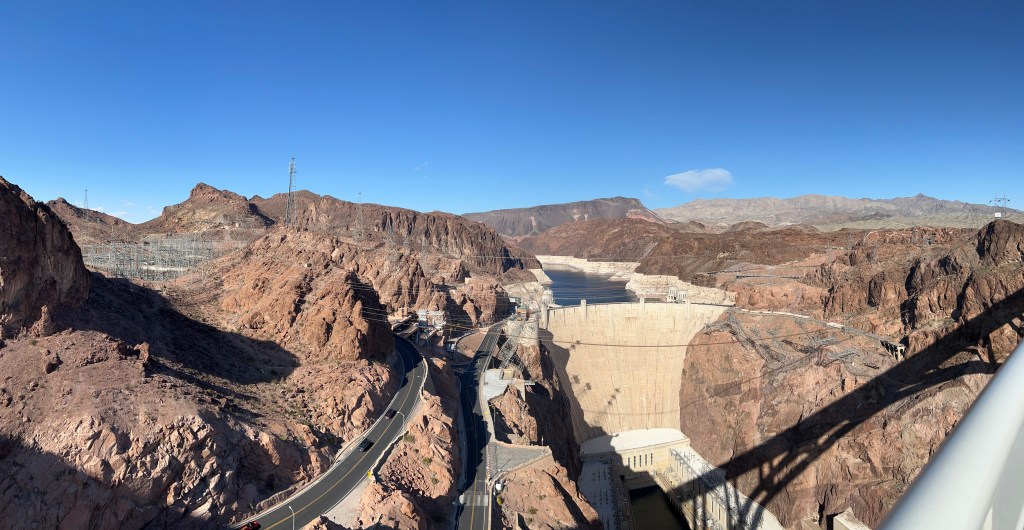
Back at our oasis of a campsite we walked Phoebe in the softly falling dusk, the Colorado a moonlit silver curl in the distance and the air suffused with the scent of flowers.
In Awe
Saturday, March 25
Corn snow blows on an updraft and decorates the fur trim on my down anorak, and my glasses fog as I pull my scarf up against the cold. I clean them and the world is a million folded shades of orange, violet and red with it’s own trim of white before my glasses fog again.
I’m having similar thoughts as I did in the redwoods-how can I have gone most of my life without more than a cursory glance at this mind-blowing canyon?
We left Chinle under it’s cover of mud two days ago, and traveled northwest through Navajo Nation towards Kayenta. Soon the vast flat landscape was studded with low mesas, a whorl of burnt orange and cream rock. We threaded between these and emerged in sunshine with a horizon to horizon view of soft pink, coral and purple sawtoothed mesas sparsely scattered on the ochre plain. Puffy white clouds drifted over the scene, casting large, rounded shadows on the valley floor.
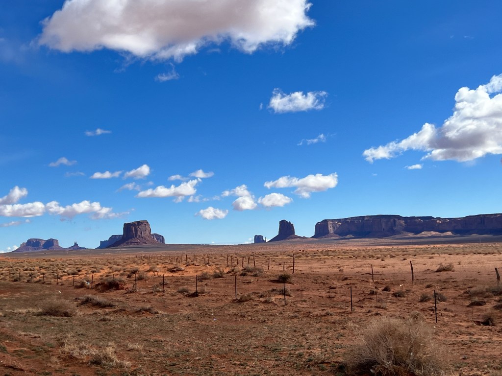
We were excited to drive the loop in Monument Valley, but unfortunately what we had read about the loop proved untrue. We were told we would have to unhitch Boo and leave her at the Navajo Visitor’s Center, where her safety couldn’t be guaranteed, and then pay a fee to drive 4 miles in to the loop, at which point we would see if any guides were willing to take us further with a dog. As the view from the highway itself was pretty spectacular, and we had a way to go before reaching the Grand Canyon, we decided to return dog-free in the future.
Heading west towards Tuba City the mesas receded in the distance, replaced by rolling high desert. We listened to the very appropriate “Lonesome Dove” as we drove past numerous rutted single track roads branching from the highway and leading to lonely hogans.
We stopped in the old stone-walled Tuba City Trading Post, established in 1873, and got the disconcerting news that the clerk heard rumor that the Grand Canyon was closed due to snow. Perhaps he had seen me hovering about the Indian-print fleece-lined gloves, and saw an easy sale! Gloves in hand (or hand in glove?) we pressed on hoping he was mistaken.
The now familiar high desert soon became dappled with patches of snow and soon lined the road to the Desert View visitor entrance. The entrance, however, was open and the ranger said nothing about closures as he handed us our map.
Despite growing up in Arizona, I had only been to the Grand Canyon once, and that only a brief stop at Desert View just inside the entrance. Despite being a map lover and priding myself on knowing where I am at all times, I had a difficult time guiding us to our campsite. Roads seemed to branch out in all directions, particularly in the heart of the park by the Village.
After a tense few minutes, we made out way to Mather Campground, which was covered in snow. Two thin dark ribbons of asphalt snaked through a forest of Juniper, many of which were downed at the roots in the wake of the recent storms. We passed several campsites with attached “reserved” labels that sat under water, and hoped that ours was not such a site.

Though covered in snow with several downed trees, our site was habitable after Erich shoveled it out, and we set off to explore.
Surprising to no one who has been reading our blog, a storm was forecast for the night, so we wanted to take advantage of the sunshine while we had it. We stopped at all the lookouts along the South Rim, each providing a different view of this staggering 230 mile long canyon. It’s hard to imagine the thoughts of the Spaniards who, in search of the 7 Cities of Gold, came across this wonder in 1540. Though I’m sure they saw it’s beauty, the thought of trying to cross this up to 18 mile wide gorge must have been daunting indeed. By report, they sent three of their best climbers to find a way down, and they returned, exhausted, a day later saying they were unable to reach the bottom. At a vertical mile down, and over myriad craggy cliffs, it’s a wonder they came back at all!
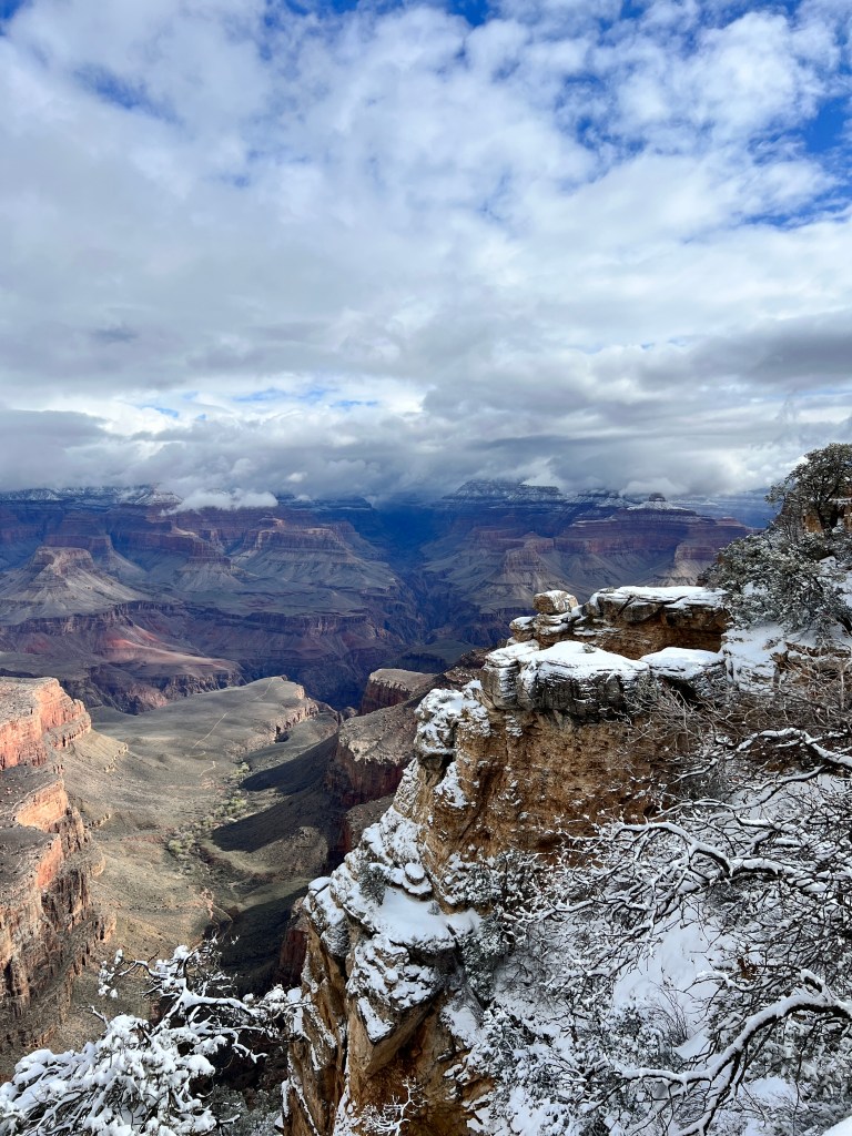
What can be said about the Grand Canyon that hasn’t been? I find myself thinking of John Muir who, in reply to a friend who asked why he hadn’t seen him lately, replied they he was busy “slaying adjectives” at the request of his editor who felt his verse on the Sierra was too effusive.
As they say, a picture is worth a thousand words, and once I have enough bandwidth to upload photos, I’m going to let them do the talking as I have no words proportionate to the beauty we saw.
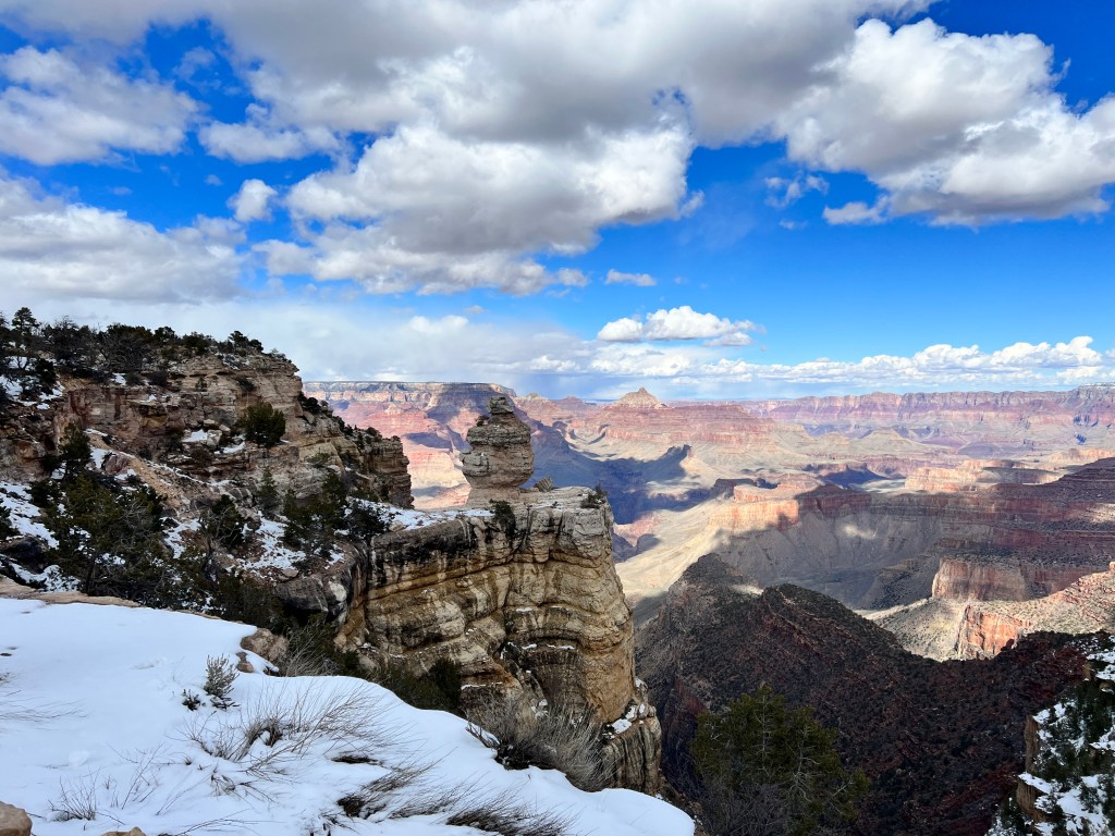
The Canyon is so vast, it has it’s own weather systems from one end to the next. We watched as storm clouds swept in from the West, leaving part of the canyon in deep shade and vertical brushstrokes of snow, and the other in bright sun, which picked out the myriad hues of pink and orange pastel of the cliffs. At Mather Point, we were in bright sunshine one moment, and a blizzard the next as the weather played diva on the canyon stage.
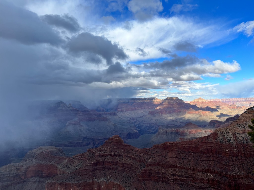
Back home and cozy in Boo, we listened to the snow lightly tap the roof and occasionally slide with a soft thud off Boo’s curved sides. We awoke to 4 inches of new snow, and a bright, quiet world. Walking Phoebe around our campground, the whorls of juniper bark were picked out in white lines of snow and branches hung heavy against a bright blue sky. We “walked in beauty,” as the Navajo would say.
We headed to the village for a hearty breakfast at the historic Bright Angel Lodge. Built in the 1920s by the famous designer and architect Mary Colter, this is a destination in itself. Built in old lodge style with a central fireplace built from canyon stone replicating the geological strata and doors brightly painted in Hopi designs, it is a work of art. Having never heard of Mary Colter (how?) we went on to discover all the other amazing works of hers at the Grand Canyon:
The Lookout Gallery, seeming to grow organically from the canyon rim; The Hopi House, a replica of Oraibi (a Hopi village) built by native Hopi, who lived in the top floors for a time while the bottom floor operated, as it still does, as a high-end gift shop; and of course the iconic Watchtower at Desert View, another native-inspired work built to replicate the towers at Anasazi cliff dwellings and offering amazing views of the canyon from it’s cozy, kiva-like interior.
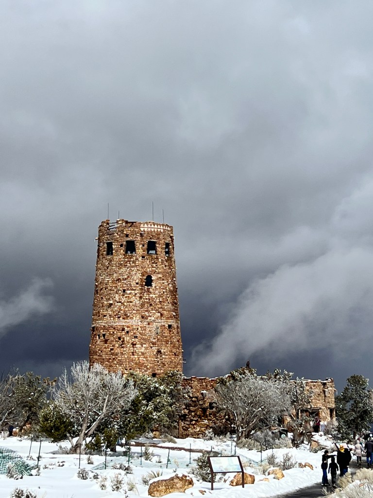
And, of course, the Canyon itself an ever-present and ever-changing backdrop to it all. We followed (with eyes only as no one was venturing into the canyon in the snow) the path of Bright Angel Trail from the rim as it wound down to a dusky orange plateau and through Indian Gardens, a grove of cottonwood at the site of a natural spring and a centuries-old Havasupai village. It bisected to an overlook, still 2000 feet above the canyon floor, and the other fork continued down and down to Phantom Ranch, another Mary Colter designed lodge that I hope to see in person one day.
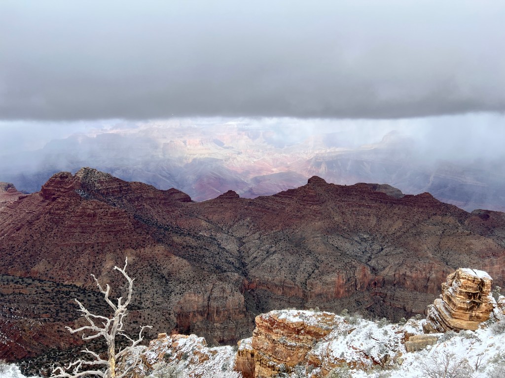
One last stroll on the rim trail, the canyon swept with ever-changing light and shade, and we turned reluctantly Boo-ward in the lightly falling snow with promises to return.
Navajo Mud
Thursday, March 23
Leaving Show Low in a cold rain, we made our way north on AZ 177, grateful for heated seats. Our camping adventures this season have all involved inclement weather and we’re starting to wonder if Boo came equipped with her own low pressure system.
Outside of Holbrook we entered the Painted Desert, so named for the highly colored silt and volcanic ash called the Chinle Formation. Glossy crimson hills slick with rain stretched away to crisp paper-cutout mesas, their steep flanks striated and red as raw meat.
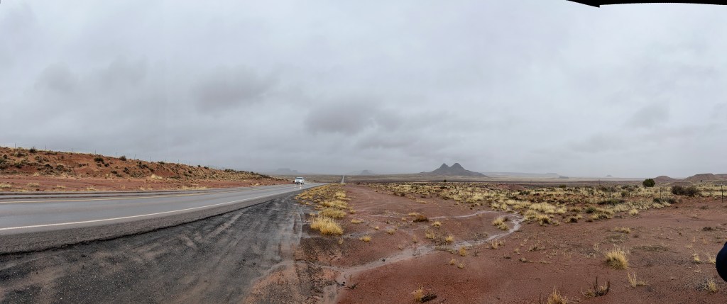
Crossing onto the Navajo Reservation the rain continued. We stopped to take pictures and what looked like solid ground was actually our first encounter with a viscous terra cotta mud, and we sunk 6 inches.
This mud was to become ever-present during our stay at Canyon de Chelly, where it only stopped raining to snow. The mud skirted all cars and most people, many of whom seemed to have given up and wandered about with cakes of the stuff on their shoes and pant legs, waitstaff at restaurants included! A beautiful young clerk at the Thunderbird Trading Post told us all trips into the canyon had been canceled for the last week as the mud becomes like quicksand and had swallowed a truck last season.
After our night at the Canyon de Chelly campground, we awoke to the view from our stargazer window of the black bones of winter cottonwoods scratching the moody sky, punctuated by surprised looking ravens cartwheeling out of control in the strong wind and rain. Another perfect day of camping!
We struck out for a drive on the north and south rims. The land looked flat, with the omnipresent sienna clay ground broken by piñon pine and juniper. Then suddenly a craggy red gash appeared and cracked the earth in ever deeper and widening furrows.

The two canyons, De Chelly in the south and Del Muetro in the north, rise from about 30 feet to over a thousand in the course of 20 miles. Chocolate milk rivers ran high on the canyon floors, and muddy single track jeep trails disappeared under thickets of cottonwood. Hogans abandoned for winter sat next to fallow fields, and tucked into the towering cliff walls above dunn-colored Pueblo dwellings played hide and seek.
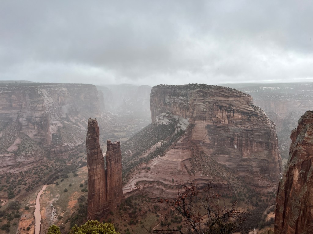
Once again we were alone, mainly because the conditions were awful. Sleet was blowing sideways and despite “waterproof” everything, we returned to the car soaked to skin and fur.
Nevertheless, the towering salmon-hued canyon walls with their tendrils of dark desert varnish and the myriad ruins tucked, some impossibly high, into the caves and crevices was jaw dropping.
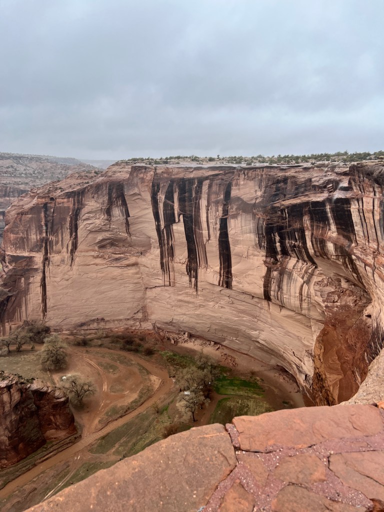
We resolved to return in fairer weather for a horse ride into the canyon to better experience their majesty.
We drove back to our campsite as snow turned to rain, past two horses sheltering in the lee of a hogan, a thin twist of smoke spiraling from its hearth and a turquoise “Navajo Sanitation” truck stuck rim deep in mud.
On the Road Again
Monday, March 20
Sometimes it’s the things you are least excited about that provide the biggest surprise.
We’re headed north, looking forward to visiting Canyon de Chelly, Monument Valley and the Grand Canyon. As we didn’t want to drive for 7 hours straight, we decided to stop in Show Low for a few nights and explore this part of Northeast Arizona.
Our drive north through the desert was magical-rich purple lupine and delicate pink fairy dusters lined roads. Poppies bloomed in sweeping orange, tumbling in avalanches down the hillsides. Climbing higher, the flowers gave way to golden grasses, rolling like soft blankets at the feet of the hazy violet peaks of the Mescal Mountains.
Then down the twisting highway to Salt River Canyon, vertical russet cliff faces falling away like so many curtains with the twists and turns of the river. Caves sat high on the cliffs and legend has it that during the Indian Wars they were occupied with Apache, looking down as the troops slogged through the canyon in fruitless search of them.
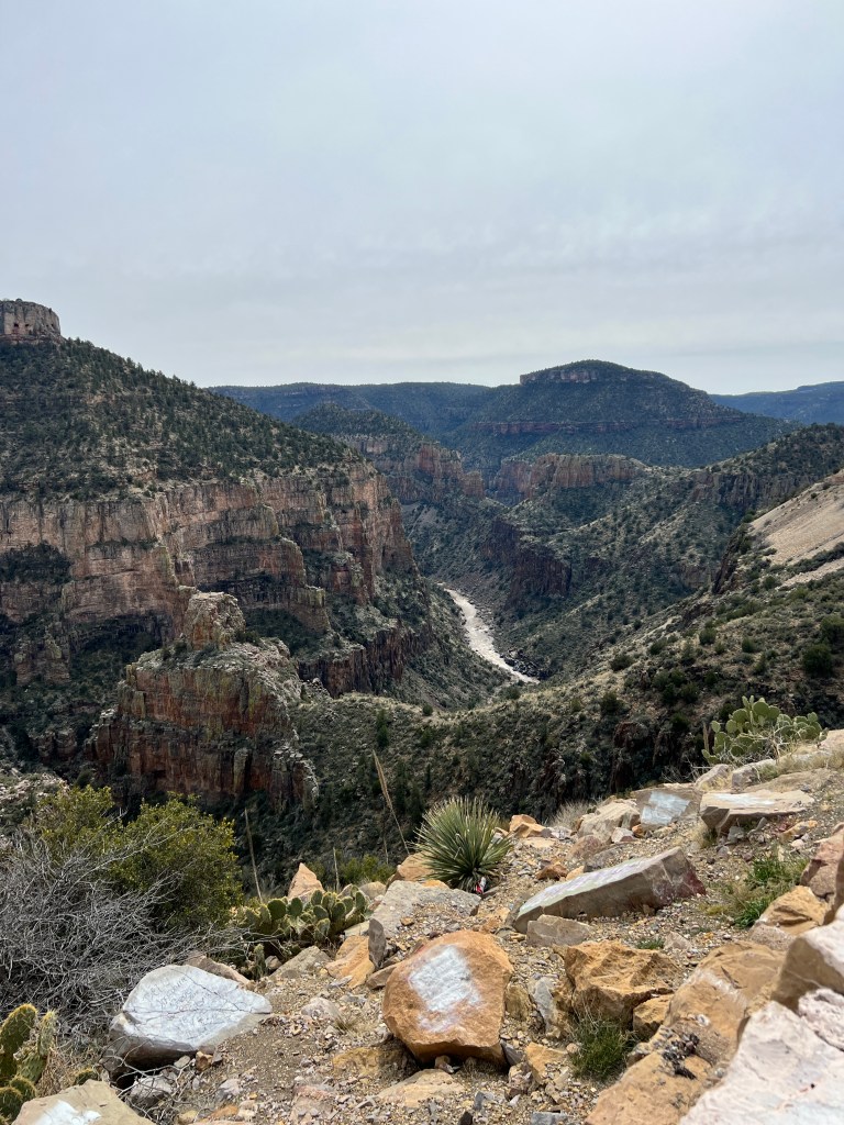
Out of the canyon and into the high desert of juniper and piñon pine, and our first ponderosa, and then ponderosa as far as the eye could see. We’re staying in Fool Hollow State Park, so named for the first settler who tried to farm the boggy land by the lake. It’s been a delightful surprise-large level campsites set in the ponderosa forest with ample room between and hot showers! A wide, sandy path traces the edge of the lake for several miles and makes for a lovely walk, with mallards peeking out between the reeds.
After our walk we headed in to Show Low to explore this high mountain town. Named for a bet between two neighbors in the 1800s who felt they were living too close together-the one who drew the low card would stay-the main drag is named “Duece of Clubs” road after the winner.
In my mind, perhaps jaded by the cold and wind that seem to follow us everywhere we camp, Show Low didn’t have much more than the story to recommend it. A line of worn, half-empty storefronts lined the main road, with a smattering of large truck dealerships and farm stores.We found a gritty but good Mexican food restaurant and returned to our lovely campsite.
Off the next morning through rolling grassland bisected by the Little Colorado River in search of Lyman Lake State Park and it’s Petroglyph Trails. Another very cold, overcast and windy day, the sun a watery grey on the empty land, and we didn’t have very high hopes.
Driving into the park, the lake was very low, as all lakes seem to be in the southwest these days, and the picnic benches, once lakeside, now rested on rusty earth a hundred yards from the water. On this wintery spring day, the park was deserted. The trail was on a rocky peninsula that jutted into the lake, and we followed the sinuous red path into the sandstone cliffs. Suddenly, petroglyphs were everywhere, even on the slabs that acted as stairs!
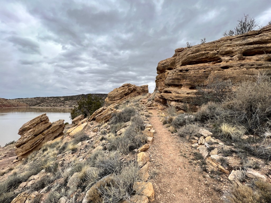
Having dowloaded the very detailed archeological guide to the petroglyphs on the park’s website, we were able to identify the various depictions: the water serpent who told the journeying ancestral Hopi and Zuni where to settle in good proximity to water; the man holding corn that signified fruitful fields; the woman giving birth telling of the longevity of the land for the people; the animals signifying abundance of game. Around every bend there were more images, and then a piece of Black Mesa pottery dating back a thousand years…suddenly the land that seemed so empty transformed to a rich historical stage.

There have been so many wonderful memories on this journey, but I think that one of the greatest surprises was the sense of timelessness we experienced as we stood alone on this windswept, rocky peninsula in the middle of modern-day nowhere.
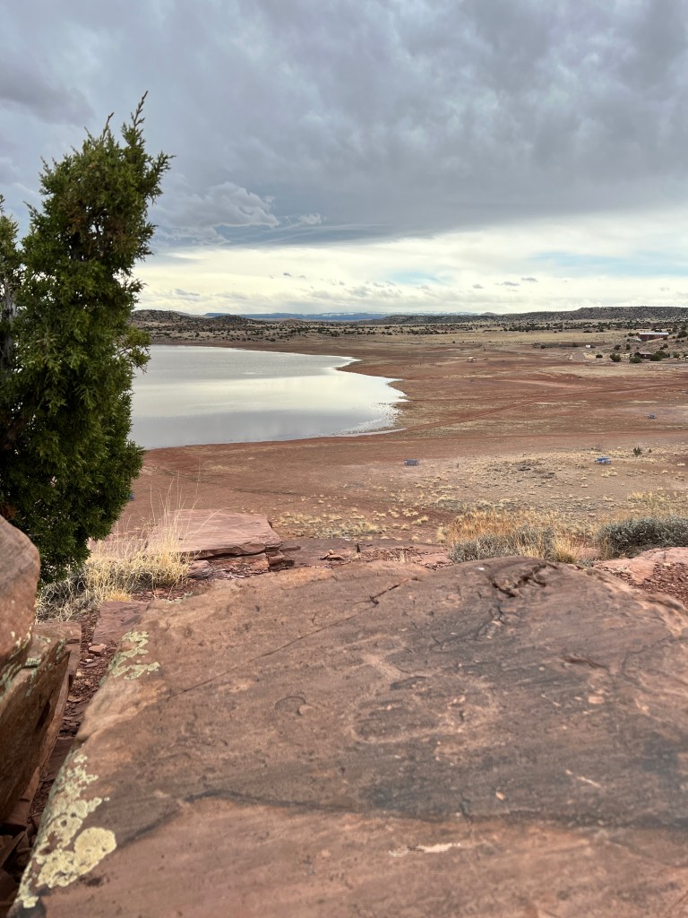
A Farewell with Friends
Wednesday, March 15
As we prepare to pack up Boo and head north, we are reflecting upon our winter in the desert. And what better way to do that then by sharing what we loved most with our dear friends.
Dianne (my wonderful partner in practice) and her husband Todd arrived on the 9th, and we kept busy reprising old Tucson favorites peppered with a few new ones.
We started with a short visit to El Tiradito Shrine and a dinner at El Minuto Cafe, located next to one another in the old barrio district.
El Tiradito (translation “the thrown away ones”) is a shrine like many scattered across Mexico dedicated to various saints and good souls. This is the only Catholic shrine dedicated to a “sinner.” It is said that in the 1880s a man had an affair with his mother-in-law, and was discovered and killed on this spot by his irate father-in-law. Ever since, people have been bringing candles and offerings, initially for the young man, but over time as prayers for their own hopes and dreams. As legend goes, if you light a candle and it burns until morning, your prayers will be answered. I can’t comment on that, but this odd shrine did a great service to Tucson history, as it’s dedication as a historical site saved the rest of the old barrio from destruction to make way for a freeway.

Then next door to dinner at another historic site, El Minuto Cafe. Open since the 1930s and still family run, they are famous for their cheese crisps-flaky baked tortillas topped with bubbling golden and white cheeses. We shut the place down over said cheese crisp (OK, so maybe they close at 8:30, but I’ve always wanted to say that!) catching up on each other’s lives since December. What a joy to spend time together again!
Off to my beloved Mt. Lemmon the next day, all 5 of us (Phoebe miffed about being relegated to the cargo space) wedged into the Subaru Forester. Dianne plied Phoebe with treats as we ascended form desert floor to ski resort, stopping for walks at several scenic overlooks. The recent heavy snows were melting in the warm spring sunshine, and we counted eight waterfalls at the Seven Cataract overlook, their roar audible miles away. We ate bratwurst at the Iron Door, whose patio was still piled high with snow, and nibbled on fudge from the Country Store on our descent as I regaled our captive guests with tales of my youthful mountain daring-do.

Saturday was dedicated to wildflowers, and we set out early for Picacho Peak. Being a weekend day in the peak of wildflower season, we waited in a long line of cars to enter the state park, enjoying the appetizer of desert lupine lining the roadway. Erich dropped us as close as we could get to the Hunter Trail, which leads to the top of Picacho Peak, and we wandered through fields of Mexican poppies and lupine to reach the trailhead.
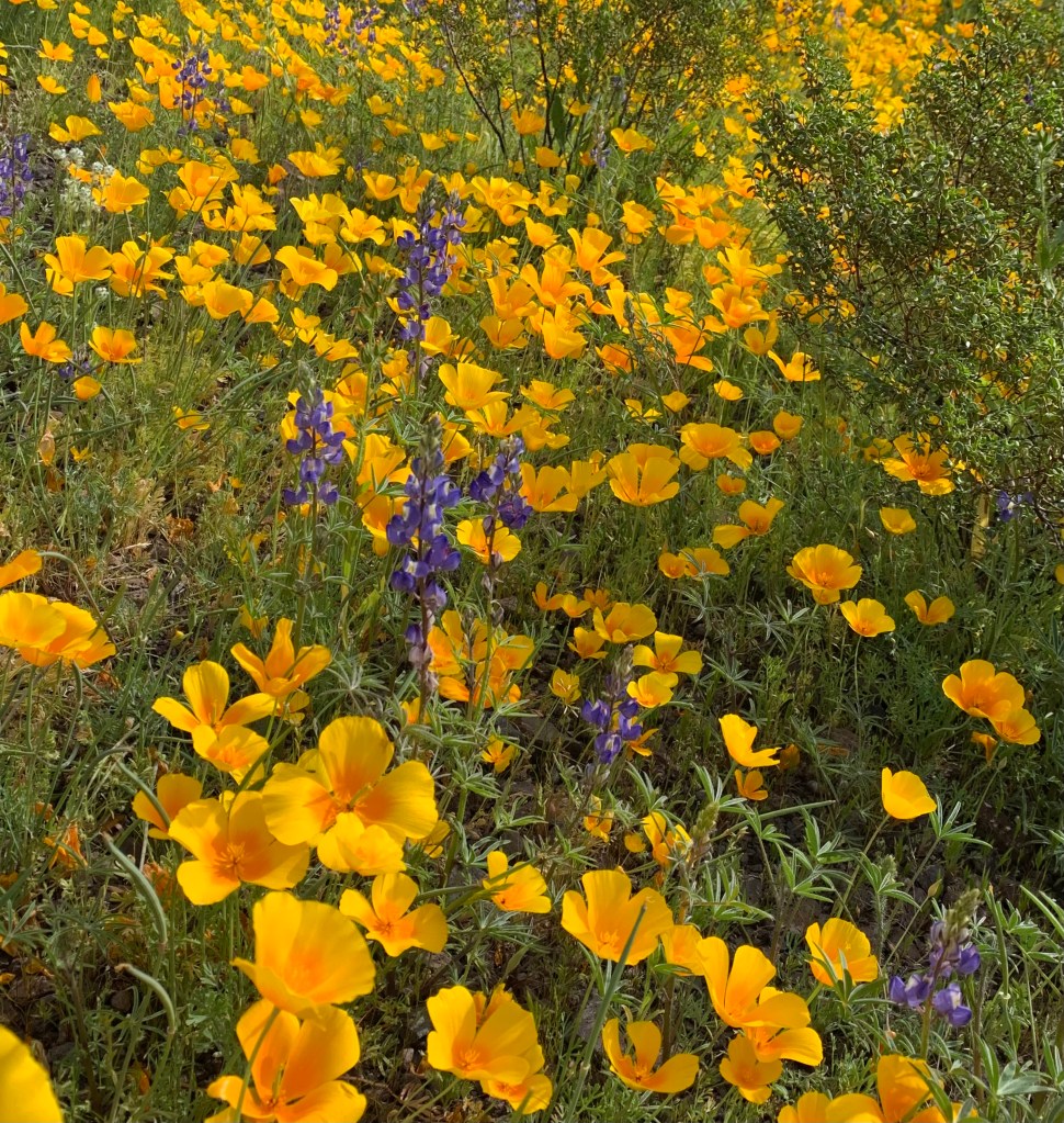
Those who know Dianne understand why we call her the “energizer bunny,” a moniker she disdains but is most apt. The Hunter Trail runs straight up, and soon she and Todd left me in their wake as they made their way to the peak. I staggered after them, soon realizing that even if I made it to the peak, it would be iffy if my tired legs would hold me on the descent. I returned to Erich and Phoebe, and we found a quiet corner of the park dedicated to the western-most battle of the civil war. We enjoyed wandering the flat trails through the fields of nodding wildflowers while awaiting our mountain goat friends. A well intentioned but poorly executed lunch at Seis Kitchen followed (think exhausted hikers waiting in an hour long line for a meal) and we called it a day.
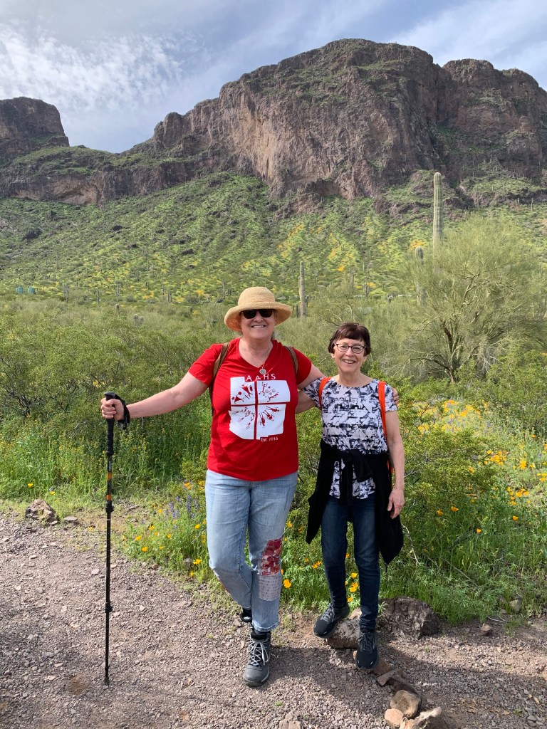
The next day we set off to walk the Turquoise Trail, a 2.5 mile loop beginning at the Presidio de San Agustin in old downtown and exploring 25 historic Tucson landmarks. We never made it past number one! The Old Presidio was established 1775 as a Spanish Fort to help maintain peace on the frontier for their expanding empire, and changed hands in 1821 to Mexico after Mexican independence and later to the US following the Gadsden Purchase of 1853. As the original Fort was atop an old Hohokam settlement, centuries old pit houses were discovered in restoration as well, and the wonderful docents and displays educated us on the timeline of the rich history.

Amongst the surprises for me were that Tucson in the 1700s was primarily shoulder high grassland with a yearlong running San Pedro river, and that the wealth of the Spanish empire was due in great part to the red dye produced by the cochineal bug that lives on the prickly pear cactus, the like of which was not present in Europe.
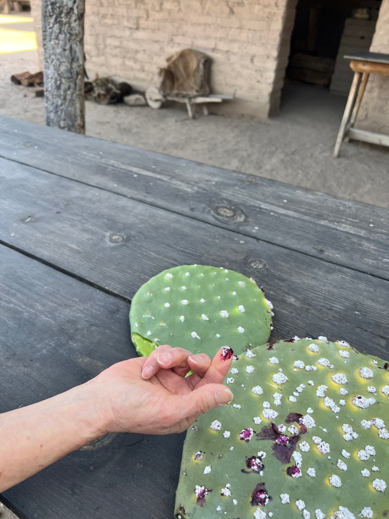
Through the wonderful displays, it was easy to imagine the soldiers garrisoned here riding through the grasslands clad in “cueras,” 9-ply deerskin protective breastplates, carrying weighty lances and rifles, trying to keep peace with the Apache.
Minds full with history, we walked down the street to El Charro to fill our bellies.
El Charro is another iconic Tucson restaurant located in an old downtown home. Established in 1922, its said to be the birthplace of the chimichanga-an accidental discovery when an errant burrito fell into a vat of fat. We enjoyed prickly pear margaritas, enchiladas and mole in a wood-floored room lined with old photos and sombreros, a perfect end to a perfect morning.
Sated, we set out in the afternoon heat to see San Xavier del Bac, known locally as the “white dove of the desert.” This is one of the original Spanish missions established by Padre Kino in 1692, and still functions as a mission today. It sits 20 miles south of Tucson on the Tohono O’odham reservation, and is fronted by ocotillo-roofed ramadas selling Indian fry bread.
The white washed outer walls and ornate carved entry leads to the cool inner church decorated with original (restored) frescos-a mix of old and new world style created by the early Tonhono O’odham converts. Cylindrical glass candles bearing the image of the Virgin of Guadalupe dance in wrought iron holders along the walls and an effigy of San Xavier lies in a glass case, still bringing comfort to the faithful.
Overlooking the mission is a small hill with a replica of the Grotto of Lourdes, and a winding path takes you around this hill with a beautiful view of the mission and it’s surrounding fields, much like it probably was in the 1700s. As a girl, I joined a Catholic friend clutching a flickering Virgin of Guadalupe candle, and wound down this hill at sunset in an Easter procession.
A small tourist-oriented courtyard is adjacent to the mission and we browsed and admired locally made baskets and got an education on the “Man in the Maze” pictograph that is common in Tohono O’odham art.
Warm and thirsty after our visit, we enjoyed pina colada Eegees (a uniquely Tucson form of shave ice) and fresh-baked scones in the shaded courtyard of the Arizona Inn. Doves serenaded us as the late afternoon shadows played across the burnt coral walls, closing another lovely day.
Last, the Desert Museum, version 3.0. What more can be said about this oasis? We spent and entire day here, and still feel as though there is more to discover. The wildflowers were in full bloom and bees and hummingbirds joined the myriad desert creatures in a Sonoran symphony. Once again humbled by the stamina of our friends, we wandered the winding trails for hours, something new and amazing at each bend. I left in a dreamy stupor, with promises to return yet again and a pearl-onion sized seed of a luxuriant purple blooming Texas laurel in my pocket.

Our last dinner on the porch of the Arizona Inn, the Catalinas fading violet in the dusk and lights twinkling on around the courtyard. A salt-rimmed margarita, a petite filet and wonderful company-a lovely farewell to our winter home.
A Sonoran Rhapsody
Wednesday, March 9
Cactus wrens playfully skim the creosote bushes and cream colored lizards do a rapid two step away from Phoebe as we walk a soft, winding red path in Ironwood Forest. We’re surrounded by forests of saguaros, arms lifted to the sky and bases ringed with orange Mexican poppies and purple desert lupine. The desert floor is a green haze of spring with washes of surprising floral color-we round a bend to a sea of small paper white daisies strewn across a rocky berm. Ocotillo branches nod in the light breeze, tips exploding in scarlet blossoms. The ragged violet peaks of the Silver Bell mountains rise before us, and the sun is warm and welcome after a record cold winter.

My senses seem heightened as we spend our last two weeks here. While we’re excited to meet our new family member (and the reason we need to leave soon)-an eight week old Airedale we’re calling Phinneas Caper-at the end of March outside of San Francisco, neither of us are ready to leave.
It’s finally become warm enough to swim in the afternoons, and I’ve been loving my dips followed by a glass of wine on our back porch to the sound of our Spanish fountain. There is so much left to do! Places we haven’t explored, museums not seen (really!) and events that sound tantalizing…it seems too long to wait until October to resume the journey.

We’re awaiting the arrival of dear friends from Washington tomorrow, and can’t wait to show them what we are enjoying about our winter home: the lazy multicolored sunset walks with Phoebe around the park by our condo; the explosion of spring wildflowers; the riot of birdsong which arrives with dawn each day; the myriad amazing restaurants with my new favorite thing-a flight of bacon!

It’s been a true blessing to be able to come back to the stage of my youth and experience it through a lens of gratitude- a Sonoran rhapsody, indeed.

Encounters…
The glorious Tucson weather has returned, with highs in the 70s and lovely sunshine that is painting strips of golden light on my coffee cup.
We’ve been hanging about home more as Erich has icing and elevating his leg, his knee injured in a most unique way…
One of the detriments of condo living is no defined back yard, and so each evening before bed we take Phoebe for a short walk. Our front door leads to a covered porch and from there onto a large grassy courtyard rimmed with (apparently) tasty shrubs and flowers. My usual seat in our living room is on the other side of the windowed wall that adjoins the porch, so I’m about a foot away from anything that happens near the front door.

Erich took Phoebe out for her evening walk and a few seconds after he closed the front door I heard the scuffling of feet, paws and hooves, menacing snorting and Erich exclaiming “Get out of here you little bastards!” The wrought iron door banged open an an excited Phoebe shot into the room followed by a limping Erich.
We now understand why a group of javelina are called a “squadron.” They had just staged a full frontal assault on man and beast, and Erich, turning quickly to get Phoebe out of the way, twisted his knee, which remains swollen and painful.
Now fully educated about the perils of javelina encounters, we know they see dogs as coyotes and coyotes are the main predators of their young. There have been multiple cases of dogs being attacked and killed, and even a woman killed walking her dog last year in the foothills. Our squadron, or what we could see of it as they beat hoof down a covered walkway, consisted of 6 adults and 2 babies, so that makes sense. We’ve altered our walks to sunset strolls, though Phoebe has been on high alert and rearing to stage a counter offensive.
Thus, Erich was in a knee brace when we met our dear friends from Mesa at the Desert Museum yesterday morning. Near the entrance are cute little bronze statues of javelina-Ha! I did get Erich to pose with “the little bastards…”
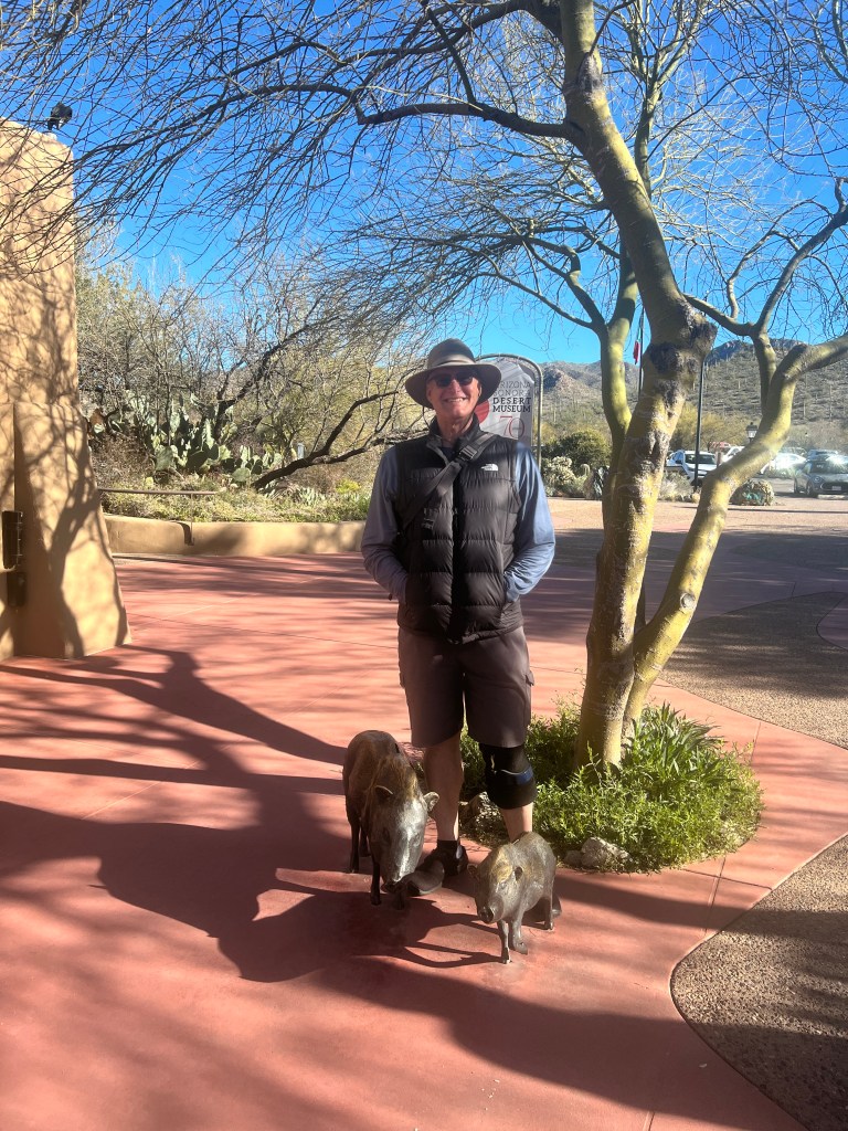
I’ve written abut this museum prior and I could spend days here exploring the myriad exhibits. Today, we were there for the “Raptor Free Flight,” a well choreographed demonstration of various Sonoran birds.
We squeezed in with a crowd of a hundred as the first species entered stage left. Flying across the desert and directly over our heads, sometimes grazing us with wingtips, the birds and their trainers put on an awesome show. Chihuahuan Ravens, Harris Hawks and Great Horned Owls soared overhead and almost on cue exhibited behaviors the narrator was detailing. I had a moment with the owl, which looked disconcertingly like my father, when it flew directly overhead an fixed me with it’s golden eyes.
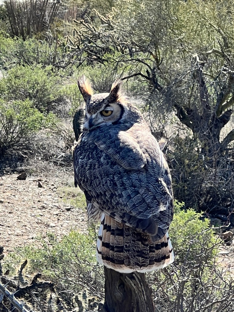
The family of hawks squabbled like families do, and the ravens searched strollers for errant goldfish crackers. We learned that ravens have the intelligence of an average 5 year old, and can mimic all manner of sounds, including some human speech! No wonder the Pacific Northwest Native Americans revered them as “the trickster.”

After the show we enjoyed a lovely Mexican food lunch in a sunny courtyard, and said goodbye to our winter friends as they will be headed out for the season to indulge their passion for biking in Arkansas and Iowa and we will soon be heading north. It seems like the winter raced by and I’m not nearly ready to leave, but intend to enjoy (almost) every desert encounter and stripe of sunshine while I can.
Sedona Snowfall
Friday, March 3
Driving south into Tucson yesterday afternoon was like nothing I’d ever seen growing up. The entire valley was surrounded by snow-covered mountains against a bright blue sky, looking more like a typical Colorado scene than the Sonoran Desert.
We were returning from another road trip to Sedona and, having angered the weather gods, we were again followed by a storm.
We had left under gorgeous sunny skies and listened to the comical narration of “Lonesome Dove” on Audible as we drove north towards Flagstaff. The drawling voices of Pea Eye, Mr. Gus and Jake Spoon were a wonderful backdrop to the more typical desert scene of rolling saguaro-topped hills and distant violet peaks.
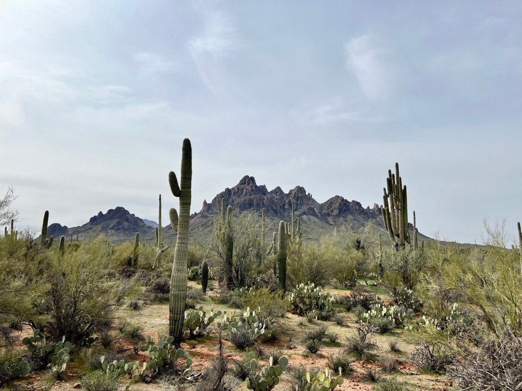
Before long, we passed the last saguaro north of Phoenix and were into the high desert chaparral, webbed with groves of cottonwood and sycamore where water allowed. We turned off at the exit to Montezuma Castle, a series of Sinagua cliff dwellings built high in the limestone bluffs.
Sitting 100 feet above the Verde Valley floor and beside a year-round stream shaded by the graceful white limbs of stately sycamore, one could understand why they chose this peaceful site. The morning sun shone brightly on the sandy ruins, and hawks playing in updrafts cast enormous shadows on the walls.
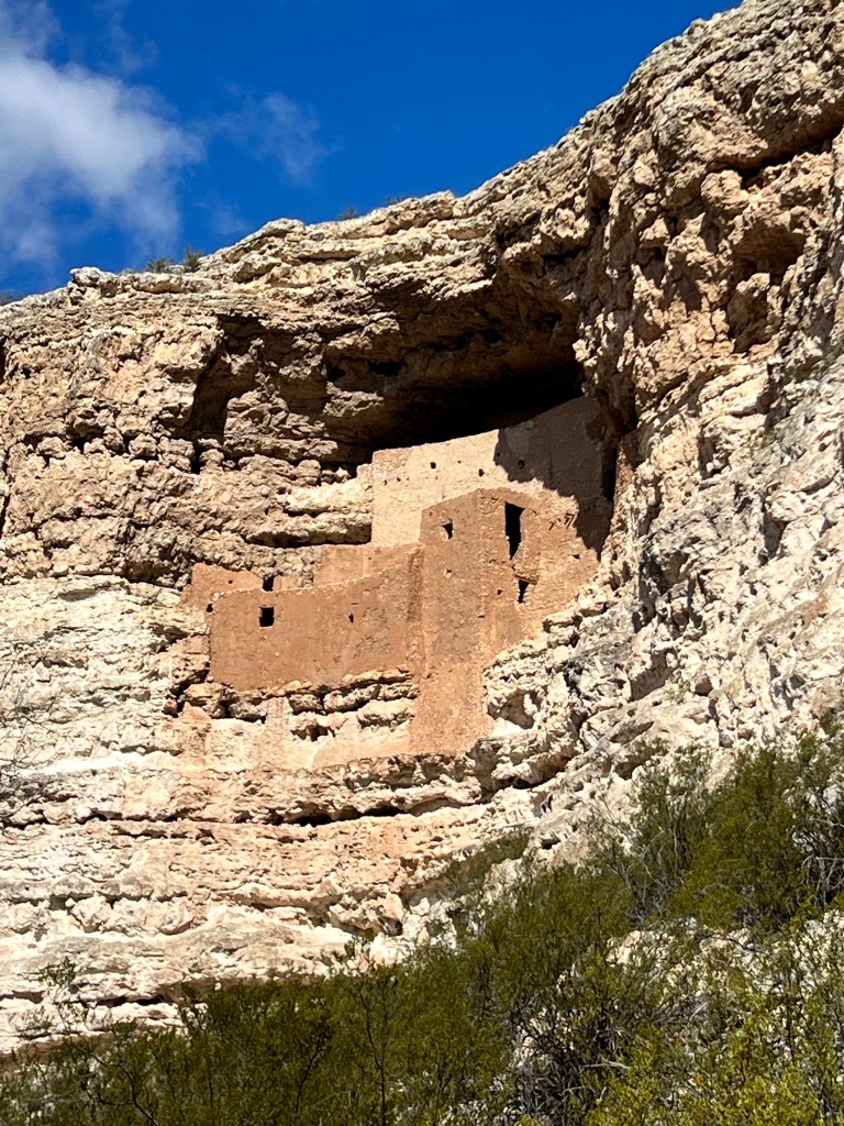
As access to these ruins has always been difficult, they remain some of the best preserved in the Southwest. It’s easy to imagine a long-ago woman looking out from one of the doors over the valley floor cultivated with beams, squash, corn and cotton while a hawk’s shadow drifts across her form.
Over 40 separate pueblos were once scattered across the Verde Valley, and most were on hilltops like the one we visited next. Tuzigoot in Apache means “crooked water,” and this pueblo, brilliantly reconstructed, is located high above the bend of the Verde River.
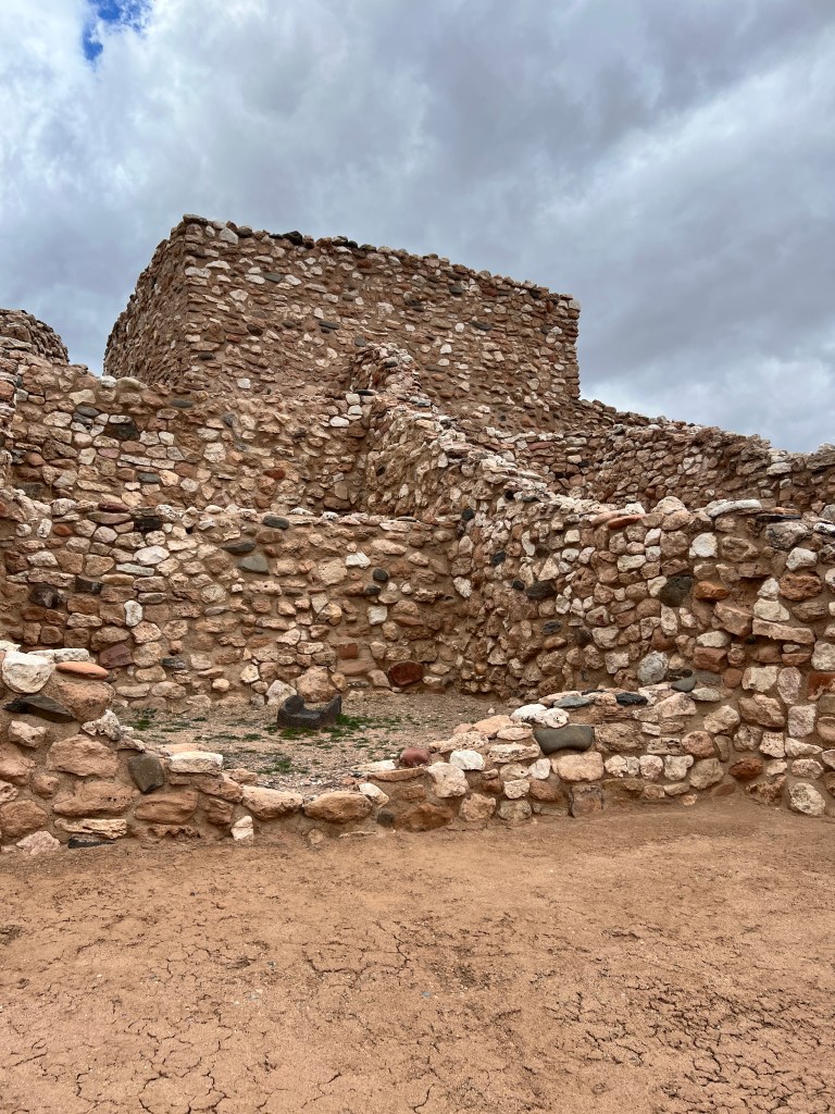
A cold wind began blowing from the south as the clouds built on the western horizon, harbingers of the forecasted storm. We were alone on the trail around the ruins and had the on site ranger to ourselves as we looked out over the valley to the sites of the other villages and learned abut how the two-storied, over 200 room pueblo was constructed. The only opening was in the roof, reached by ladders, and most homes were no more than 150 square feet. Buried pots held supplies, and the imprint of age-old corn husks was still visible in the clay of some of the pots.
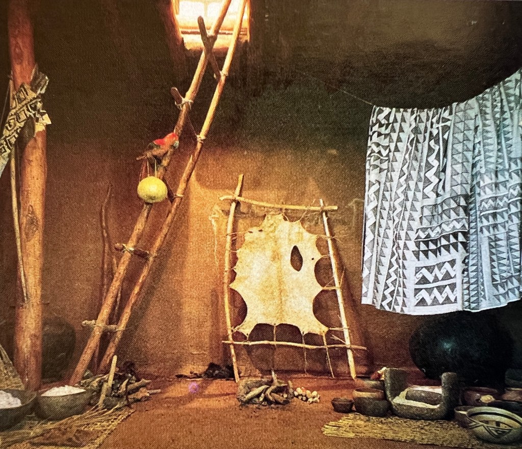
No one knows what made these people abandon their carefully constructed homes around 1450 AD, but many drifted north to become ancestors of the modern day Hopi, and some stayed and became ancestors of the more itinerant Apache. More Southwestern mystery…
As we drove into Sedona the sunlight and cloud created a symphony of magic light on the red cliffs. We stopped at Cathedral Rock and hiked the well marked maze of trails laid out over the soft, red earth. The wind whipped at hair and fur, and around every bend was a new, spectacular vista that changed as light and cloud played on the western horizon. Neither of us could stop taking photos, and Phoebe was entranced by the smells blowing in, sniffing the air in glee.

We made out way to the car as the sky began to spit a mixture of snowflake and rain, and drove up Oak Creek to check in to our room by the creek.
Bring Fido, a wonderful app that we use to travel with dogs, has never steered us wrong and this was a 4.5 bone resort. It looked promising enough as we drove up-log hewn and decorated with twinkling lights. Then we saw our room. Half the size of a Sinaguan home, with cracked floors, a stained and moldy jacuzzi tub, a bathroom that forced one to sit sideways on the toilet and provided a close up view of a mustard-colored wall with streaks that looked suspiciously fecal.
We generally aren’t too fussy, but this we couldn’t abide. We were given a new room which was not ready yet (at 5 pm) so we left for dinner. When we returned, the room was still not ready and we were told to just bring the linen from the other room to the new one…the new room was better-no feces on the walls-but marginally so. On the plus side, it had a lovely fireplace and a comfortable bed, and we were able to sleep intermittently between Phoebe’s nails awakening us as she paced the buckled linoleum floor.
In the morning the storm had dusted the valley with snow and the clouds hung low, obscuring the red cliffs in soft mist. We discovered we had no hot water in our room (we were later told we had to let the water run for 20 minutes before it became hot-really??) and set out a bit chilled but clean.
Hiking through the gently falling snow around Oak Creek and Bell Rock, essentially alone, was dreamy. The silence and the veil of snow landing gently on the burnt Sienna rock and ground was a jewel of memory.
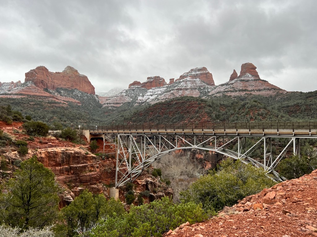
We climbed back into the Subaru as the snow became more intense and headed for Flagstaff. Neither of us had explored Flagstaff, and since we were confined to the car, this seemed like a good idea. Well…there’s a difference between 4000 feet (Sedona) and 7000 feet (Flagstaff) in a storm and we threw ourselves into the teeth of a blizzard. We made it to Flagstaff thanks to Erich’s superb driving, saw the city blanketed in a foot of snow from the one road that was open, and were delighted just to make it back to Sedona before they closed the highway.

Back in Sedona, the two lane highway to our resort was closed but, as we had nowhere else to go, they let us through. We made it back to the room without issues, discovered hot water at the old, stained jacuzzi tub that took up 1/4 of the room (but still none at the sink or shower) and decided to make the best of the storm. We lit a fire, sanitized the tub as best we could and soaked in the warmth while the snow fell heavily outside. Cozy and tucked into the comfortable bed, we spent a long night listening to all manner of crashes outside as branches and trees came down and the power went off and on. Phoebe clicked about nervously and jumped on and off the bed. We awoke to a foot of snow and downed trees and branches everywhere, including a pine tree with a trunk about a foot in diameter that had come down in the parking lot.

Subi (the Subaru) plowed through the carnage with nary a slip, and we were able to leave early and make our way to downtown Sedona, where all was closed, silent and heaped in snow. Though gorgeous, we couldn’t really pull over and get out to enjoy it, as only the main road was plowed and that just barely. We drove slowly down the Red Rocks scenic byway, stopping in the road to take pictures as the clouds drew back momentarily to reveal the dazzling, snow-covered cliffs.
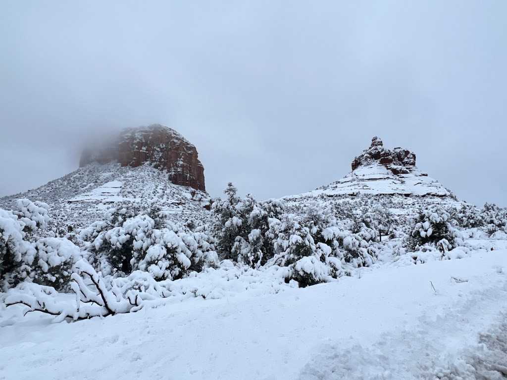
We reached the main highway to find I-17 North, which we took yesterday to Flagstaff, closed. Lines of frustrated drivers lined the on ramps and argued with the poor ADOT staffer blocking the ramp. Luckily, we were headed south, and had a nice easy drive to Tucson with wonderful memories of our Sedona snowfall.
Poppies and Pueblos
Monday, February 27
Picacho Peak is well known to most Tucsonans as the bi-peaked sentinel between Tucson and Phoenix. With a spring at it’s base, it was a waypoint for pioneers on the Gila Trail in the 1800s and the site of the westernmost battle of the Civil War. And every spring, it is a Mecca for photographers as it blooms a riot of colorful wildflowers.
With morning frost and snowfall still common, I was surprised when Erich told me that the the wildflowers were already starting to bloom, intel he received from his photographer wireless.
We packed up the Subaru and headed north on I-10 to see for ourselves. Twenty miles south of Picacho Peak, the hazy purple slopes were visibly brushed with yellow, and this slowly came into focus as waves of Mexican poppies flowing to the desert floor.
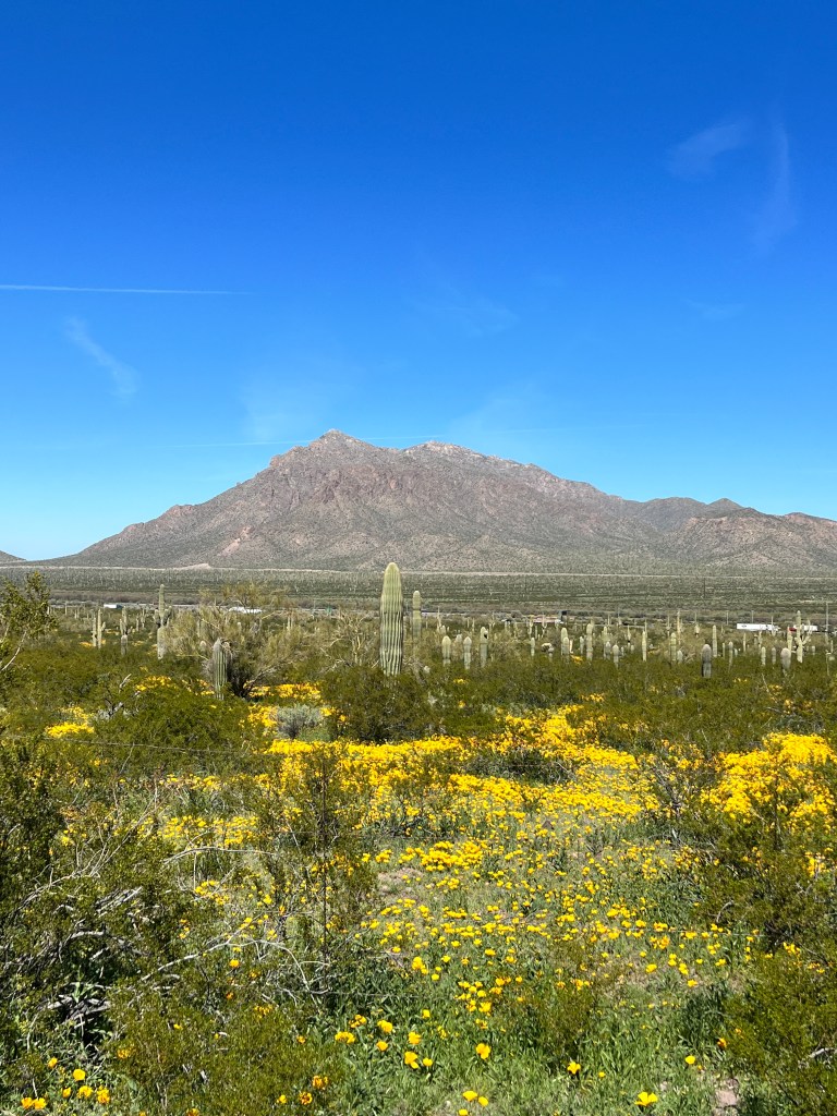
With the abundant rainfall this winter, the usually brown land was alive in all shades of green, and the golden poppies glowed that much brighter brighter for the verdant backdrop. The sun was warm on our skin as we hiked the Calloway Trail to a valley lookout, and wandering the curves of the trail through the fields of wind ruffled flowers felt dreamy.
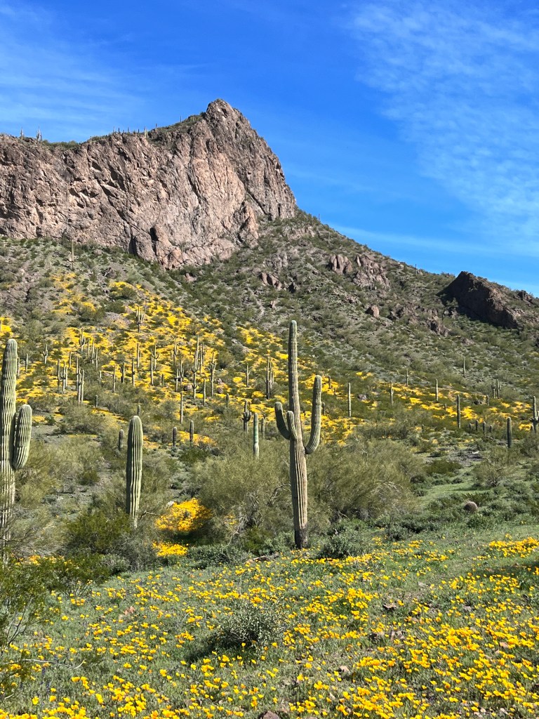
We rested at a bench atop the lookout, the green of the Avra Valley spread wide before us. Phoebe lay in the shade of a plump saguaro, and in the gentle wind and soft sun, surrounded by fields of gold, time stood still.
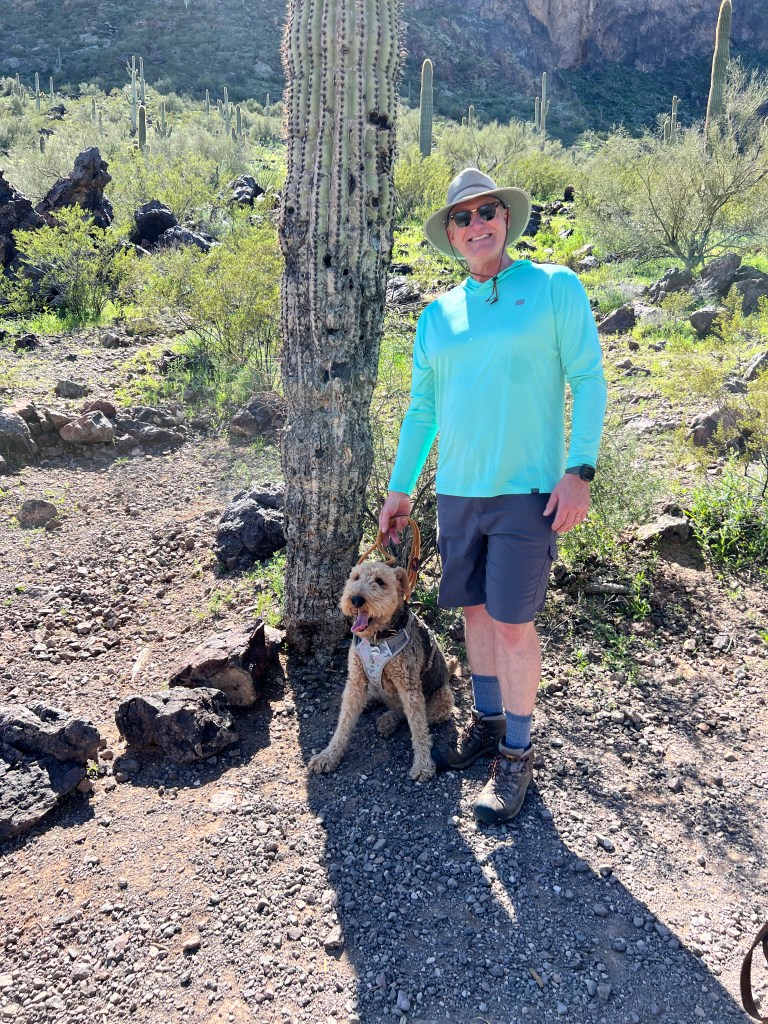
We reluctantly left our perch for other hikers to enjoy, and drifted slowly back to the car in a haze of yellow and green.
With plenty of daylight left, we decided to head north 20 miles to the site of Casa Grande.
This huge adobe structure, rising 4 stories from the flat desert floor, remains a mystery. Built around 1300 A.D., theories about it’s purpose abound-a site of worship; a gathering spot; a home for a revered leader-but no one knows for sure as the Hohokam people who built and abandoned it 150 years later had no written language.
What is known is that it was surrounded by an elaborate 200 mile canal system that irrigated crops to feed multiple surrounding pueblos, and that two small windows high in the structure line up the rays of the sun on a target at the vernal and autumnal equinox, perhaps as a guide to planting and harvest for this early agrarian society.

Phoebe joined us on a tour of the site and charmed the ranger by sitting very still and paying rapt attention to his talk, then walking sedately by our side as we explored the sandy adobe remains. The walls of the main four story structure are 5 feet thick, and you could feel the temperature drop-20 degrees to the interior-as you looked through the doorways. One could imagine this was a welcome refuge in the summer heat, but it clearly meant much more to those early desert people.

We drove home into a violet sunset, pondering the mysteries of history. Sometimes it is wonderful not to know and just dream and imagine…
Rodeo Days
Sunday, February 26
Tucson schools took a break this week-the only schools in the nation that get two days off to go to the rodeo.
The Tucson Rodeo, known as “The Fiesta de los Vaqueros,” has been a tradition since 1925 and attracts rodeo performers from all over the world. While not a huge fan of the actual rodeo as I’ve aged and become passionate about the humane treatment of animals (many of my friends know that I cringe when anyone kills a spider or a fly), I remain a huge fan of the culture surrounding the rodeo.
When I was young, my Brownie troop marched in the Tucson Rodeo Parade dressed as Apaches, and even in my awkward tween years I was in the spirit!

Thus, I convinced Erich that we needed to see the Rodeo Parade at least once as adults.
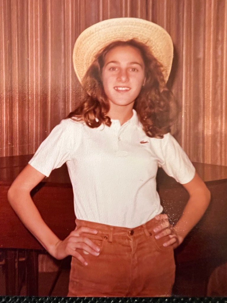
It was another very cold and blustery day as we headed to the South Tucson Rodeo grounds, and thank goodness we were layered in down as the winds blew icily down the parade route. Despite the cold, the atmosphere was festive and family-oriented. Kids were excitedly darting about and all were dressed in their best rodeo attire-my favorite being a 4 year old girl in a pink tutu and sequined cowboy boots.
Latin music blared from the array of pickups lining the street and families warmed their hands over open fires. A 40-something man in a huge straw sombrero cruised by on a lowrider bicycle as horses whinnied in the background. A huge-121 members-and amazing high school mariachi group entertained us with music, song and dance before the parade began.
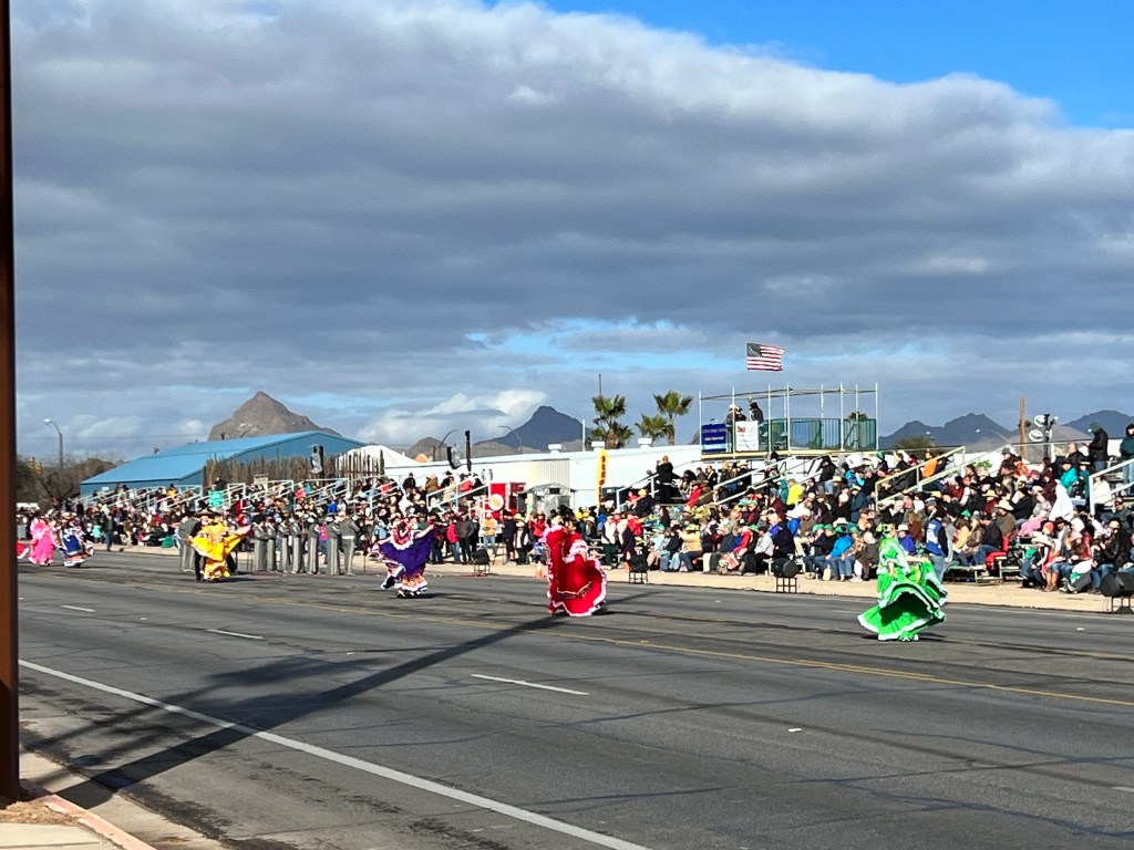
The parade itself is touted as the largest non-motorized parade in the world, and consists of horseback riders, historic horse and mule-drawn buggies and wagons, colorful hispanic-themed dancing groups and a potpourri of bands, all representing local businesses, groups, foundations and schools. The Truly Nolan entry was one of my favorites-a meticulously costumed termite roped by a cowboy.
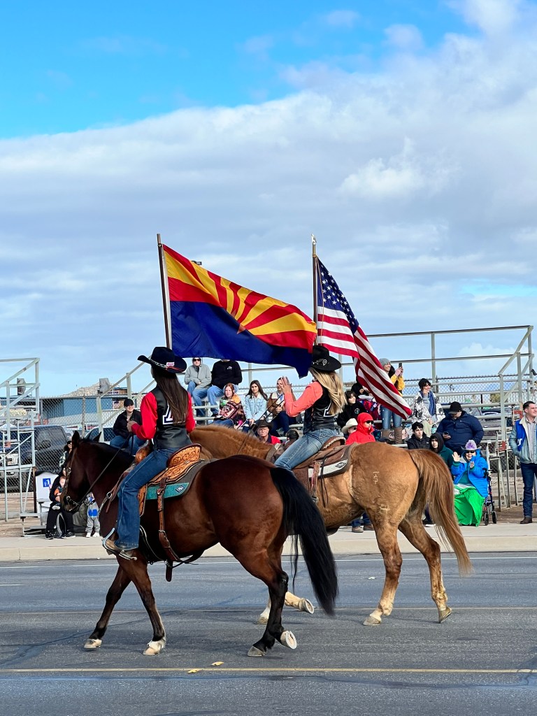
We watched the array of entries clomp and dance past, including our condo groundskeeper on his horse as part of a group that uses horses as therapy for abused children. Everyone wore very genuine smiles and the goodwill from the participants and crowd took the chill off the morning.
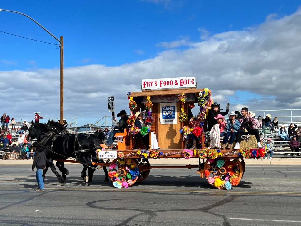
The sun came out towards the end of the parade, and the colors became that much more vibrant-an equine piñata filled with confetti of aqua, red, and yellow. We left as the last Choro group danced by, dazzling in spangled costumes and watched intently by the sombrero-riding cyclist.
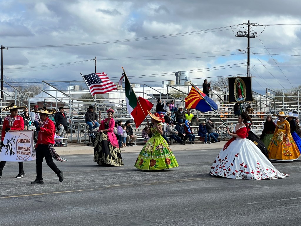
Wind and Rain
Friday, February 24
It’s been a very strange winter in Tucson.
We’ve had snow, which happens in Tucson every decade or so, high wind-a record of 51 mph-and rain, which has resulted in cancelled camping trips and led us to day trips and local exploration.
The week started with joining some new friends at the Tucson Symphony Orchestra for “A Venezuelan Valentine.” I hadn’t ever been to the symphony here and was dazzled by this presentation of “Celebration Latina!” with a guest conductor and trumpet soloist from Venezuela. It was mesmerizing to watch the many musicians move as one under the instruction of the gyrating, bongo-playing conductor. The trumpet player, Pacho Flores, is world renowned, and his clear, bright solos on his array of golden trumpets hung in the air like auditory fireworks.
After the concert, we walked through the revitalized downtown to dinner at The Hub, a restored exposed brick eatery in the 1880s Tucson fire station livery. One could imagine the horses being led through the high archways of this vast space, and it was lovely to see this gracious old building returned to former glory. Indeed, the entire downtown was alive with restaurants, hip bars and ice cream shops, very much a change from the seedy bars where I once ventured on a dare in the 1980s to down a flaming drink from a greasy glass.
The next day we headed north to Oracle State Park , another jewel in the crown of the Arizona State Parks. This was once a working 78 square mile cattle ranch run by the Kannally Family, who left part of it to the state. The old, thick walled ranch house is now open to the public and sits amongst the rolling golden hills crossed with birding and nature trails. We spent 15 minutes in a blind searching for coyote and javelina, but saw only an imperious red-tailed hawk puffed huge against the weather.
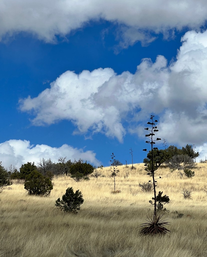
Phoebe and I sat on the oak shaded brick porch of the ranch house while Erich explored the interior (no dogs allowed so we went one at a time). The wind, the flutter of birds wings at a nearby feeder, and the distant yips of coyotes were the only sounds that cut the deep silence. Looking out over the hills decorated with the candelabra-like blooms of agave, one could imagine life here hadn’t changed much from the 1930s, and the bustle of downtown Tucson the day before seemed very far away.

The next day dawned overcast but no rain was forecast, so we headed to Fort Huachuca east of Tucson. Huachuca means “place of thunder,” and the fort sits at the base of the mountains of the same name. Established in 1877 during the Apache Wars, it was the home of the Buffalo Soldiers and is one of the oldest continuously operating army bases in the country, as we soon found out.
I had read about a wonderful museum-yes, me and museums!- located on the grounds of the fort, and as we pulled up to the imposing military gates we were told we had to get special passes to get on the base to see it. This, of course, was located at a different entrance, so we turned around and proceeded there, where a no-nonsense man in a crew cut sitting in a stark fluorescent-lit temporary shed told me it would take an hour or two to get us passes. My museum fervor has some bounds, and this rubbed up against them.
We passed on the museum and headed out into the wide San Pedro Valley, where the predicted forecast fell to the “huachuca” and we were chased around the valley by vast storms with sweeping curtains of rain.
Close to Tombstone and hungry, we headed there to have a late lunch and get out of the rain.
We ran through the downpour and onto Tombstone’s covered wooden boardwalks to Big Nose Kate’s Saloon. In the historic Grand Hotel building, this bar/eatery was a raucous contrast to the outside gloom. Filled with happy patrons imbibing to the strains of live country music, it brought cheer back into the day. Corseted waitresses served us surprisingly good comfort food as we sang along to the chorus of “Sweet Caroline.” The day was saved!
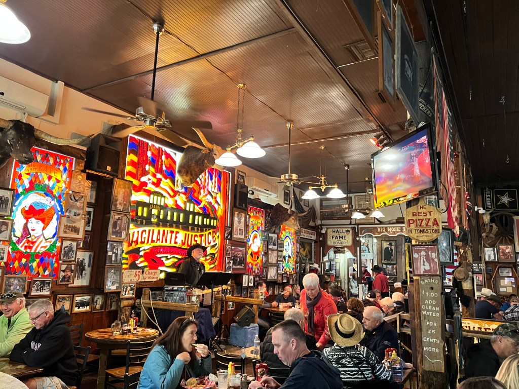
Once we emerged, the downpour had turned to a light drizzle and we walked Phoebe through the reconstructions of “cribs” and mining shafts to the Tombstone Courthouse.

We’ve been to Tombstone many times, and it’s 1880s courthouse is another of my favorite state parks, telling the true story of the fabled town. We wandered through the exhibits of the old courtroom, period costumes, ranching culture, the OK Corral shootout, old buggies and eerie gallows. With a calzone in my belly and my museum lust sated, we turned for home as the rain resumed.
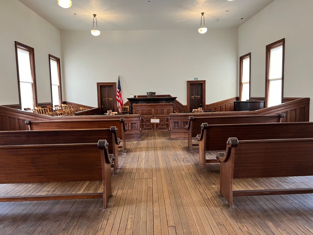
Hikes with Dogs
Sunday, February 19
After hanging around the condo getting bids to replace water-soaked drywall and remove the ugly pebbled popcorn ceiling, we decided it was time to get out in nature again.
Though Arizona is overall quite dog-friendly, finding hikes that allow dogs has been more challenging. A trip to our local REI provided us with a very useful “Arizona Hikes with Dogs” book and we set our for Ironwood National Monument northwest of Tucson.
Turning off at the last Marana exit the pavement of another new housing development soon turned to a dirt washboard road where free range cows wandered, eyeing us suspiciously.
We drove for miles and got hopelessly lost in the maze of paths that spiderweb the land. A water crossing of the Santa Cruz had us watching the sky for rainclouds, as if it rose any higher we would be stuck, a disconcerting prospect as Border Patrol helicopters flew overhead.
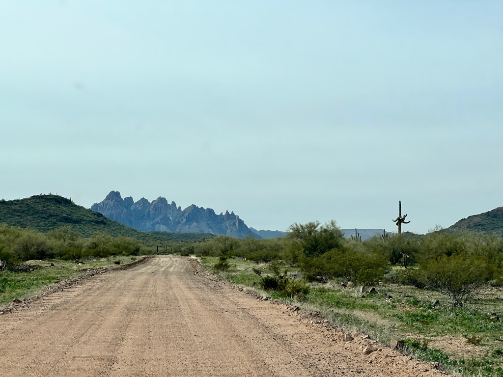
Hollowed buildings appeared to our right, and Erich quickly swerved onto an even more primitive road to investigate. We later discovered this was Sasco, a ghost town from 1907 that used to serve as a smelter for the old Silverbell Mine. Remains of stone buildings that could have housed one of the saloons or the post office sat amidst the old railroad, and a test mine stretched 20 yards into the rock, colorful turquoise tailings at it’s opening. Thick old glass shards and old tin cans marked what we assumed was the old garbage dump, and I found some treasured cobalt and lavender glass for future desert lanterns. Eric scared Phoebe and I barreling through unmarked desert looking for the graveyard, which we never did find, and before we blew a tire I convinced him to rejoin the actual road.

Delving further into the desert, we were surrounded by the jagged peaks of the Silverbell Mountains. The teddy bear cholla grew creamy and thick, and lived up to their name of the jumping cactus, attaching themselves painfully to my hand and then to Phoebe’s fur in my flailing attempt to remove it. Phoebe would not leave the car thereafter…
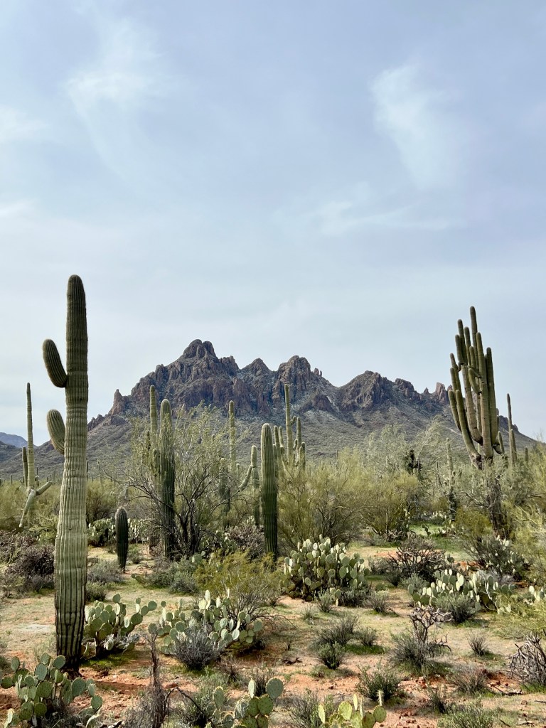
Ironwoods, so named for their dense and heavy wood, began to mix with the saguaro as we neared the National Monument by pure chance. Ironwoods grow up to 30 feet and live up to 800 years, but those that we saw seemed not as impressive as those statistics, seeming grey-barked and scrawny compared with the hundreds of plump saguaros.
Thousands of small yellow flowers were blooming, harbingers of spring, on large areas of the desert floor and a thin layer of chartreuse covered the rest the ground in the wake of the recent rains. We tried to entice Phoebe out of the back seat to examine a bleached saguaro skeleton-surprisingly light but bamboo strong-but she was having none of it.
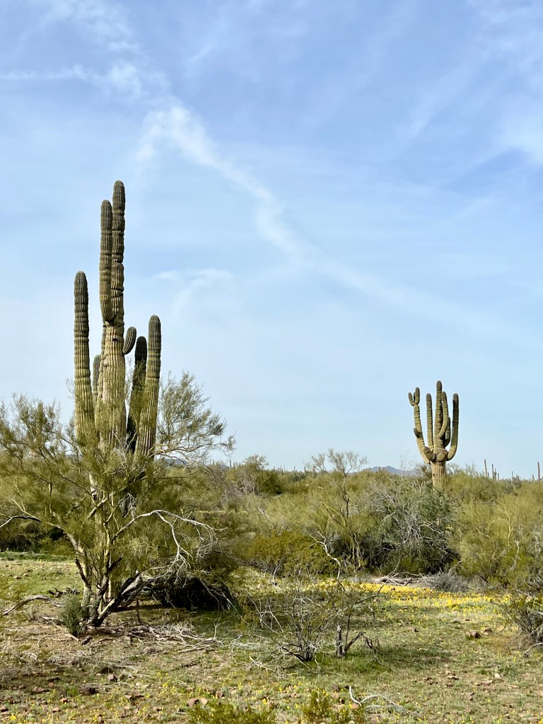
We never did find the hike-just as well as Phoebe was requesting her couch- but had yet another wonderful Tucson desert adventure.
Double Overtime
Wednesday, February 15
We awoke Valentine’s Day to a quiet, white world. Almost 2 inches of snow fell the night before and was clinging to the grooves in the rocks, creating a crazy geometry. Through our stargazer window we watched the few clouds chase each other through an otherwise bright blue sky and enjoyed our breakfast of Valentine sugar cookies.

A brief word about my Valentine-we met when he was my scuba instructor and I was toiling away as a chief resident in Internal Medicine at the University of Washington. I had been in school all of my life with few breaks, and decided to take scuba diving lessons as it seemed a gateway to adventure. Boy, was it ever! Who would ever have thought that 3 decades later we would be here, still sharing life’s adventures? One of Erich’s first gifts to me was a beautiful bouquet of flowers with a note:
For oceans to explore
Mountains to climb and
Meadows to run through
I’ll be here for you
And he is…thank you my wonderful husband and forever Valentine!
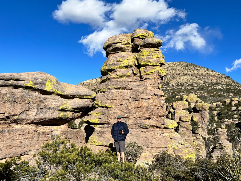
After breakfast we headed up the canyon to capture the overlook in the snow. About a mile above the campground, the roads became sheets of ice and a kindly ranger told us that there was a wind storm on the way too and he was closing the road.
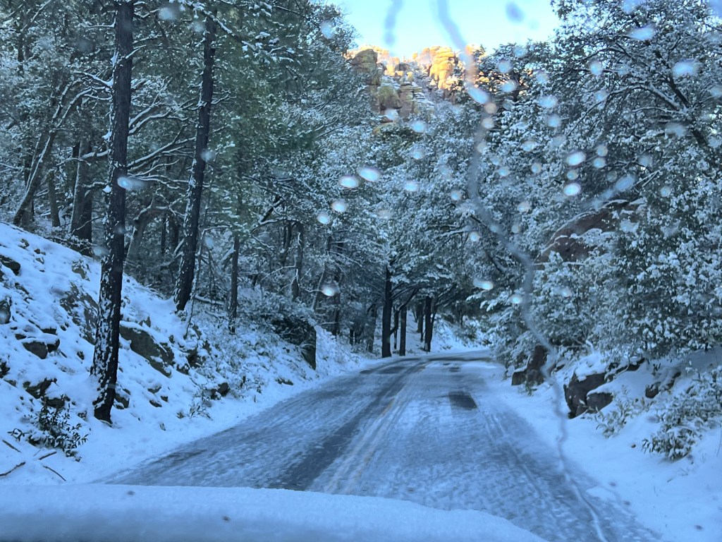
We hurried back to camp (which still smelled of skunk) and hitched up Boo, as it’s no fun to tow a trailer through the mountains in heavy winds.
We made a last stop at Faraway Ranch where Phoebe cavorted in the snow, and the windmill’s frenzied churning told us we’d best be on our way. We bumped back down the jigsaw patched two lane highway to Wilcox where all was dusty following yesterdays windstorm and joined I-10 back to Tucson. Though windy, it wasn’t awful and we decided to stop for a small museum I’d read about, the Amerind.
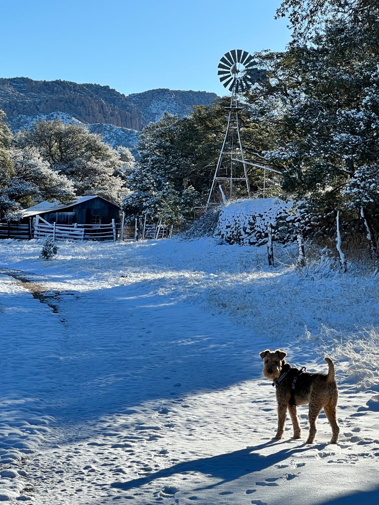
Located in Texas Canyon, which is a mini-Chiricahua of more time-worn, rounded rocks, this museum was yet another treasure. I do realize I’m saying this about almost every museum we visit, and I have seen my fair share of museums, but I can honestly say that those we have visited here in Arizona have been some of the best I’ve ever seen, and the Amerind tops this list.
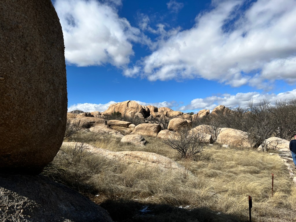
Founded by a couple from the East, William and Rose Fulton, who fell in love with the Southwest, it’s past and it’s indigenous cultures, this hacienda-turned-museum has the best collection of American Indian art and archaeology I’ve seen. Almost 25,000 pieces from Folsom arrowheads to modern Native American art are on display-only 5% of the collection at a time-and beautifully arranged to tell the stories of each culture through jewelry, rug and basket weaving, pottery and beading.
Initially more an archaeological endeavor than museum, the Amerind funded many large excavations, including one in Northern Chihuahua of Casas Grandes, a community of over 2,000 rooms from 1200-1400 AD, which is recreated in part in the museum so one can feel what it was like to live in the rooms of this enormous pueblo.
By the time we had worked ourselves through half of the museum, our minds were boggled and we couldn’t process anymore. As the museum sits only 70 miles from Tucson, we resolved to return for a dedicated day trip to our new favorite museum.
Back on I-10, the wind had kicked up and it was a white knuckle drive home dodging tumbleweeds and weaving fellow drivers. We had just returned to the condo when we got a Hazmat alert on our iPhones to avoid the area we had just traversed, as a truck carrying nitric acid had blown over, releasing it’s load. Anyone within a mile was asked to shelter in place and turn off their HVAC units, and the entire UA Research Park was evacuated.
We were relieved to be home with more cherished memories of our own, alternative, Super Bowl weekend.
Overtime
Tuesday, February 14
Well, the skunk stench returned and we decided to embrace what we couldn’t change and make the skunk the trip motto.
They said a storm was moving in today, so we were up at dawn hoping to beat the weather and set off to Echo Canyon Loop, one of the iconic trails in the monument that winds between hoodos of all sizes.
This area was “discovered” by Neil Erickson in the 1880s, who followed an Apache who had stolen his horse deep into Bonita Canyon, and found himself surrounded by otherworldly rock formations. The Apache was called Massai, and the highest point above the canyon from which we watched the sunset yesterday was named for him, though the horse is lost to history.
Alone on the trail, one could easily imagine the sound of hoofs on the gravel path and picture buckskin-clad Apache leading a string of horses through the rocks.

It is easy to imagine how the Apache Wars could have lasted 11 years-one of the longest wars. In American History. Despite numbering only in the thousands, knowledge of this rugged terrain would be a decided advantage, and one envisions Apache huddled around campfires deep in these rocks, plotting their next move.

Angry leaden clouds began to build on the horizon and the wind, already forceful at daybreak, began a ghostly howling through the rocks. We decided it would be best to turn around before the deluge and reached Junior and a worried Phoebe just as the first snowflakes began to fall.
We headed down the canyon to the Faraway Ranch, where Neil and his wife Emma had settled in the late 1880s. Though the main buildings were closed for renovation, being alone with the abandoned corrals and outbuildings while the windmill creaked with the approaching storm and blew the flaxen grasses of the meadows, one could well imagine life here indeed felt “Faraway.” It is said that Neil liked to be in town, but Emma loved sitting on her screened porch looking out over the valley, and would not be separated from her eden.
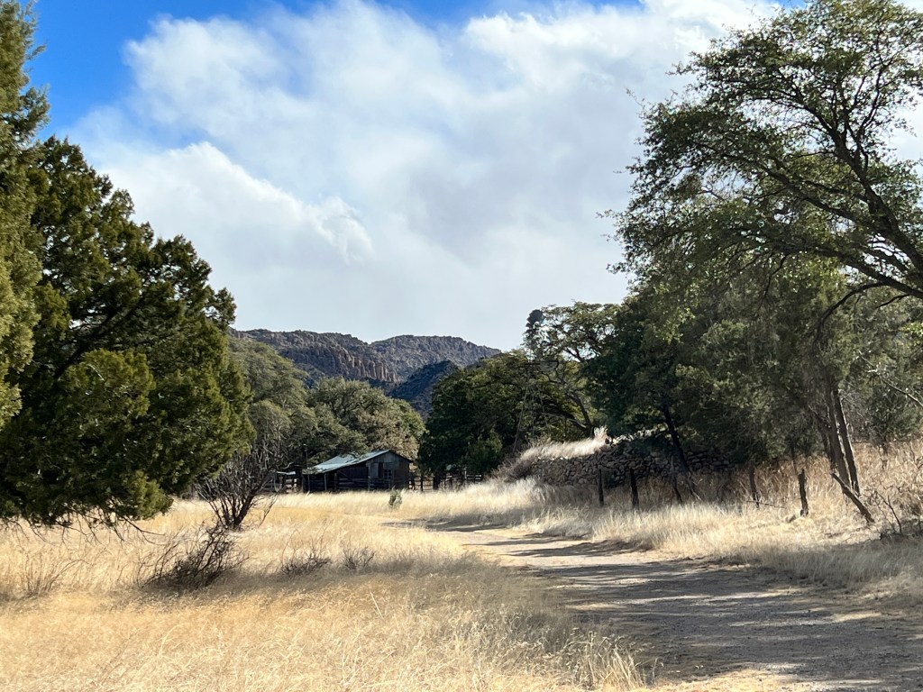
The storm again overtook us, chasing us further down the valley and on to Pinery Canyon Road, that for the moment was south of the storm. A pocked and rutted single track dirt road that climbed from yucca to pine, Pinery Canyon runs the length of the park and they say is passable in passenger vehicles in the summer. In winter, with snowflakes starting to fall gently, we went about halfway before turning back, but spotted a tawny owl swooping silently through the bony trees, a red squirrel being attacked by two territorial cardinals, and, the piece de resistance, two juvenile bobcats frolicking beside the road.
Still skirting the storm, we drove up Turkey Creek Road deep into a rugged canyon with hoodos hanging over us on all sides and examined the grave of Johnny Ringo, an infamous Tombstone gunfighter who was found propped in the crook of an oak tree with a single gunshot wound to the temple and buried unceremoniously feet from the tree under a pile of rocks. With the wind building and the sky darkening, it was easy to imagine the controversy around his death-suicide, as ruled by the coroner, or murder, as he was known to have run afoul of Wyatt Earp…
Out of the canyons and on the foothills overlooking the Sulphur Springs Valley, the sky stretched wide, a stage for the storm clouds to play. Billowing thunderheads piled on the northern horizon, and brushstrokes of gray rainfall swept the ground. To the south, it looked as if the land was in dusty flames, something neither of us had ever seen and turned out to be a windstorm that closed I-10 for miles and was the talk of the visitor’s center. Stranded travelers were advised of alternate options as the campground was full, and we felt grateful to return to our cozy, heated Boo as the snow began to fall in sheets, even if it did still smell faintly of skunk.
A Super Day
Monday, February 13
I close my eyes and the world is sunflower yellow dotted with azurite, and open them to see my bare feet gilded by the sun setting over the Dragoon Mountains and Sulphur Springs Valley far below. We are alone at sunset on Massai Point in the Chiricahuas while the rest of the country watches the Super Bowl.
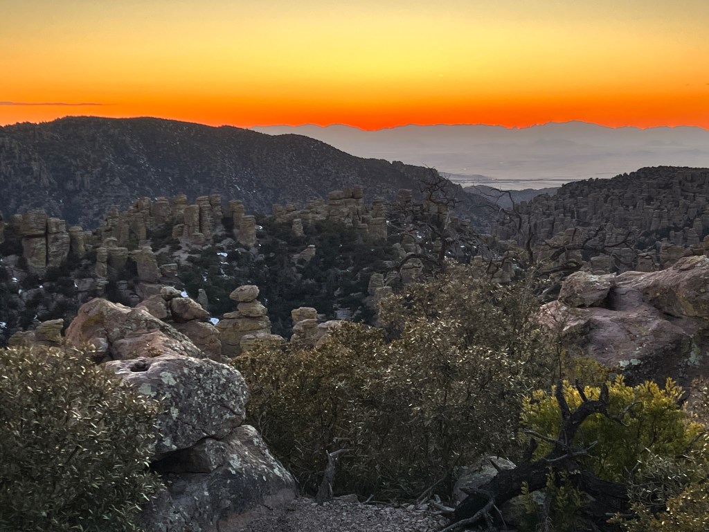
We left with a bit of trepidation after our last attempt to camp here ended with Phoebe’s medical emergency, but his time she had her head out the window and a big smile on her face as we drove the now well-trod ugly stretch of I-10 East out of Tucson.
Wind-swept chaparral-dotted land stretched flat to the east and well worn homes squatted along the freeway. In the shadow of a “Trump” emblazoned water tower on a triangular scrap of land sat a dusty tent flying a huge American flag…if only I had a camera ready.
We turned off at Wilcox and headed towards the towering snow capped peaks of the Chiricahuas.
These mountains were the stronghold of the Chiricahua Apache, who called them “standing up rocks,” and are the remains of a caldera from a volcanic explosion 26 million years ago, the force of which was 10 times greater than Mt. Saint Helens. Weathered by time, the compressed stone has worn away at weak points leaving a forest of light orange hoodos that stand like sentinels and assume fantastical shapes. My favorite is Cochise Peak, the profile of which, once seen, can’t be unseen and seems to watch over these mountains like a guardian.
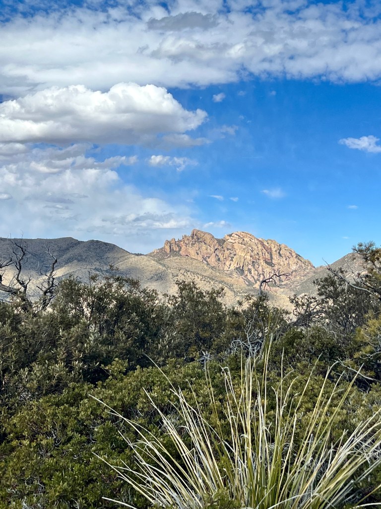
We walked Phoebe on the few dog-friendly trails and Mexican jays and lesser goldfinch flitted around us like confetti. Spectacular views of the Chihuahua desert to the east and the Sonoran desert to the west were set to the music of wind through alligator juniper and piñon pine.
We returned to our campsite for a quick dinner before setting out to photograph the sunset, and found our lovely campsite suffused with skunk stench. A thorough hunt, Phoebe in the lead, disclosed no obvious offender, so we ate with plugged noses and quickly set off, hoping the wind would cleanse things before nightfall.
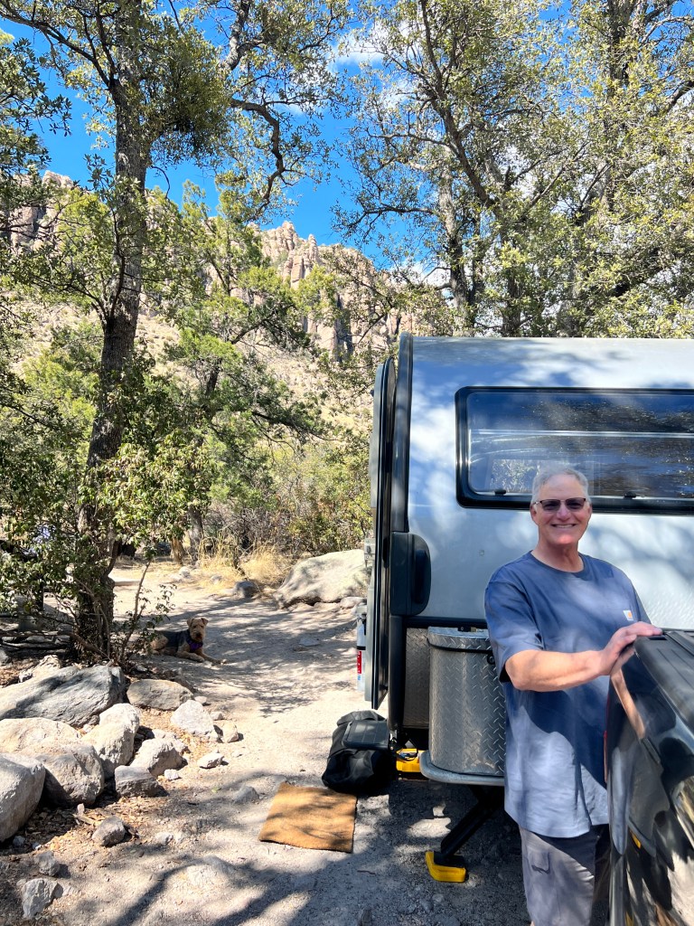
On our drive back to the peak, coatimundi scurried across the road and white tailed deer bounded alongside, their namesake tails fat as feather dusters.
We watched the sunset in a silence so profound you could hear your heartbeat and as darkness fell the stars dazzled-millions of crystal pinpoints of light studded in a deep, velvet black firmament that stretched from horizon to horizon.
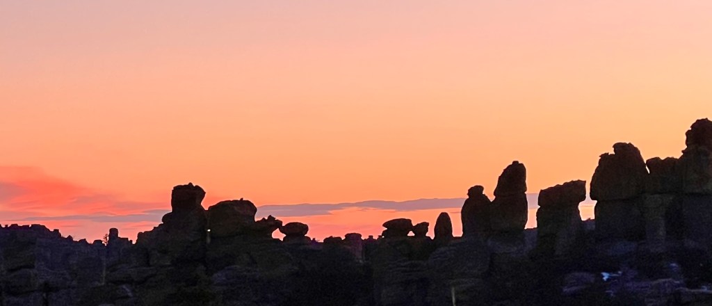
And the skunk stench had gone.
A Super day, indeed.
Life’s Hues
Saturday, February 11
Our 1950s dishwasher is having a chuckle this morning.
We had a pact not to replace things that were still working and didn’t scare Phoebe, but after two broken wine glasses and nibbles at the edges of our plates, we determined that our old, noisy dishwasher had to go. I dutifully measured and ordered one on Costco.com, to be delivered yesterday.
Well, as it turns out, the old dishwasher was specially designed for small home living and has a step-like profile no modern dishwasher can match to allow it to fit under the sink. Our new dishwasher would not fit without a kitchen redesign, much more than we want to undertake. So, our avocado green appliance is safe for some time, and we’ll endeavor to keep our delicate dishes away from it’s teeth.
This, we found ourselves unexpectedly free for the day and decided to check out the Tucson Art Museum.
Located in old downtown Tucson and surrounded by historical buildings which have become part of the museum grounds, this proved to be yet another gem.
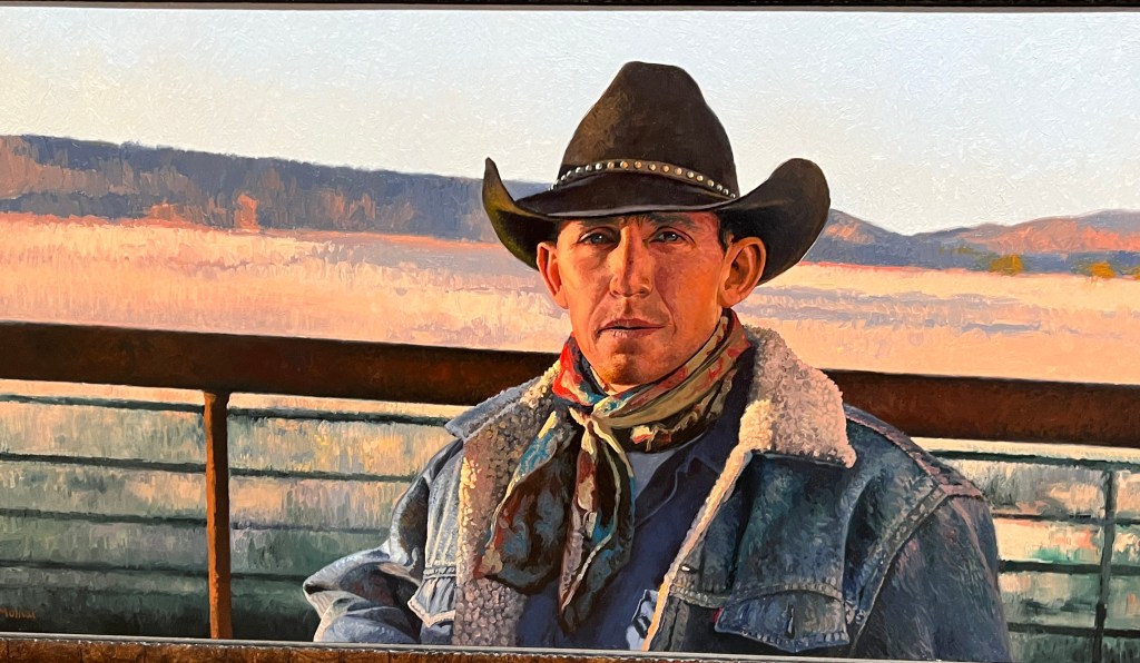
Instead of retelling the history of Western Art in general, this museum concentrated on art of the American West, and was much better for it. The current exhibition is around art of the West through the eyes of historically marginalized groups, and while not everything appealed to my aesthetic sense, it was certainly thought provoking. I certainly didn’t know that 1 in 4 cowboys in the 1800s were Black and that there exits a thriving Black rodeo circuit…
The permanent collections were likewise Southwestern, a combination of New Mexico modern, traditional painting and sculpture and indigenous works that were beautifully displayed in the main museum’s downward spiraling galleries and the thick plastered adobe walls of the annex. On the whole, an explosion of color and thought, and much better than any dishwasher!
We dined alfresco in the courtyard of the museum cafe, itself a work of art in an old barrio home with ocotillo beamed ceilings and rounded burnt adobe walls. Sitting in the sun-dappled warm-hued space listening to the lawyers talk at al the tables around us -the museum is very close to the courthouse- we reflected on art, history and oppression, and made peace with avocado green.

Two Museums and a Monastery
Thursday, February 9
Technology continues to baffle me, and I’ve lost several month’s worth of journals this morning, so I’m taking a break to write about our wonderful week thus far.
Between cutting out drywall, meeting with handyman companies and trying to unearth water shut off valves, we have taken some time to enjoy the warm desert sun and the many cultural amenities.
We started at the DeGrazia Museum in the Catalina Foothills. De Grazia is the ultimate Tucson artist, and though many might not know his name, they would know his work, which has appeared worldwide. He was a painter, sculptor, architect and lapidary with a profound interest in the history and peoples of the southwest, unfortunately not appreciated fully by the art community of his time.
This ended up being a blessing, as he moved to a then-remote 10 acre compound outside of Tucson, which he designed and built to house his art.
It’s an organic wonderland of warm adobe walls made of the very earth on which they sit, cholla-wood floors and rounded welcoming galleries laid out around a central courtyard full of sculpture. HIs art is breezy, expressive and emotive, and better for the beautiful theme-based displays-rooms for Padre Kino, the Papago Indians and Yaqui Easter.
Aluminum flowers made of old cans and painted in vivid colors adorn the walls and fences, glinting in the sun. A chapel, open to the air and all who desire a moment of peace, sits on the grounds and it’s wind powered bell resonates with one’s core at times least expected.
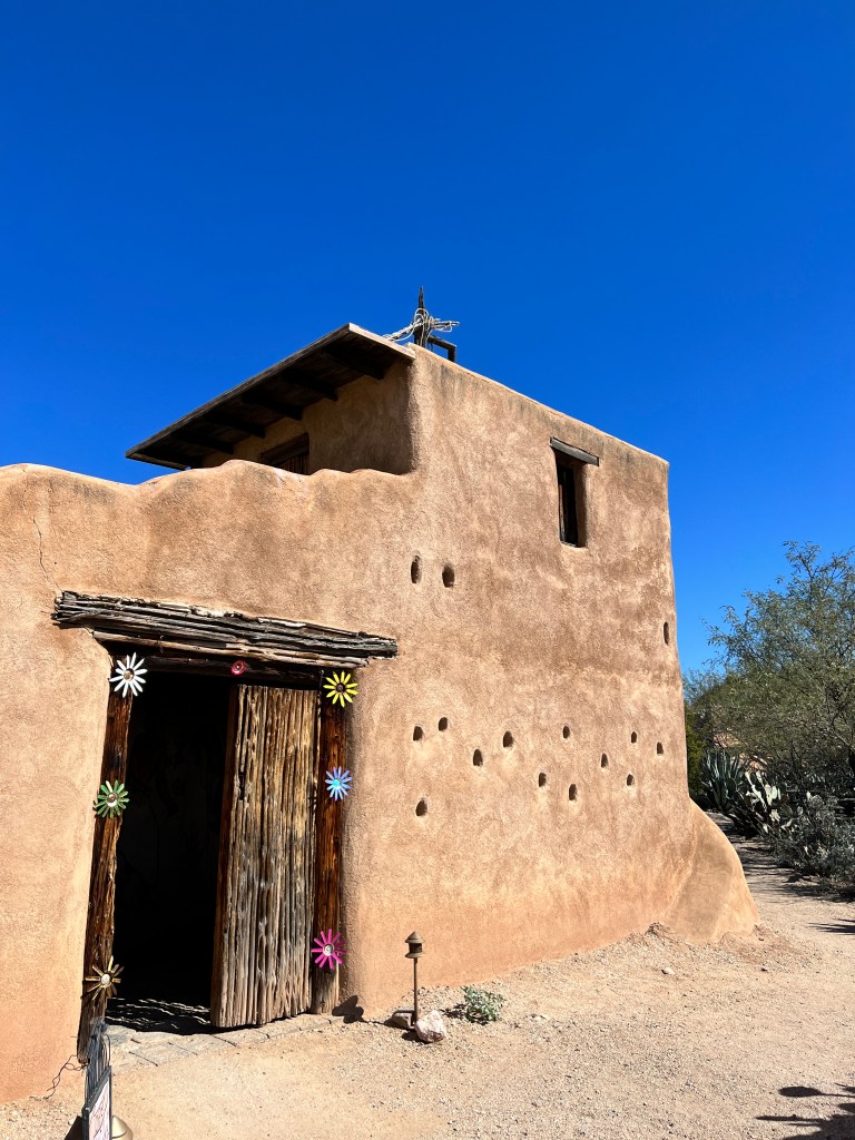
An oasis and celebration of all that is the Southwest against the backdrop of the Catalina Mountains…
And on to the next day’s oasis: Friends of ours from Colorado are traveling the country in their new home, a gorgeous diesel pusher that has better amenities than our condo! They have been in Mesa for a time, and invited us to visit St. Anthony’s Greek Orthodox Monastery, just 80 miles north of us.
An island of green in a windswept and desolate desert, the monastery was established in 1995 by six monks from Mt. Athos in Greece. Now over 50 monks live in the 100 acre compound, which is criss-crossed with palm-lined brick walkways and dotted with gently splashing fountains and courtyards for quiet contemplation. Nine chapels, all decorated with typical Greek Orthodox opulence, amaze in displays of gold iconography and delicately carved wood.
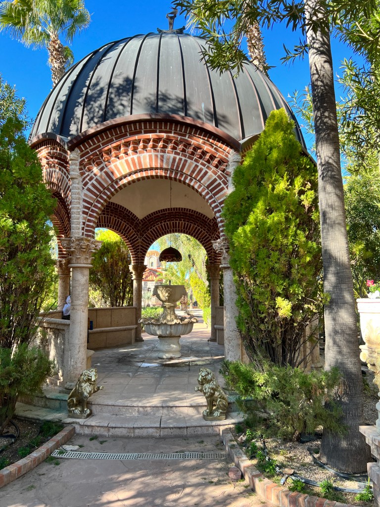
Loggia line the perimeter and house monks and pilgrims, and rows of citrus and olive trees surround the buildings. All maintenance and gardening tasks are handled by the monks as part of their prayer and reflection, and many chant as they go about their work. The overall effect is dreamy and serene, and were it not such a drive, I’d be wandering these lovely grounds weekly-a fact I’m sure was not lost on the founders and why it’s so far afield.
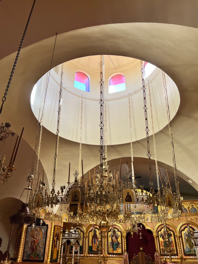
On our way out, we stopped at a typical whitewashed, blue-domed Greek chapel of the type we saw so often on Santorini, this one standing bright and alone on it’s desert hill, guardian of an oasis below.
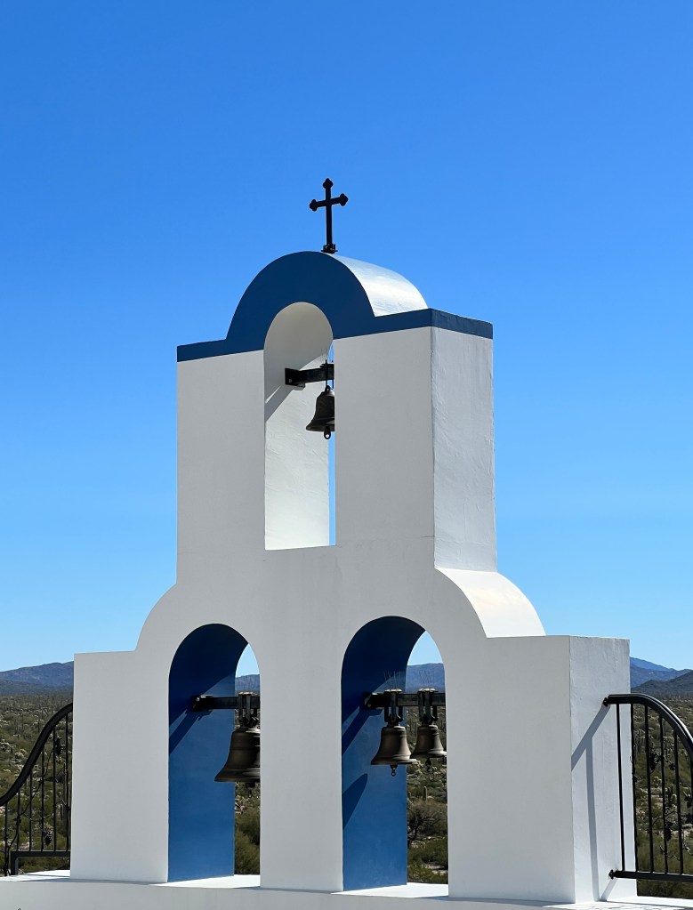
And the next day, the antithesis of oases-the Pima Air and Space Museum.
This is one of the largest museums of it’s kind in the country and houses everything from the first airplane prototypes to the fuel cells from the Challenger space flights, all laid out in a beautifully narrated display strewn over 6 hangars and hundreds of acres.
Erich is a WWII buff, and a particular fan of the B17, to which an entire hangar was devoted replete with a completely restored B17 and exhibits with every possible take on the history of the plane and the men who flew and maintained them. Video loops of veterans describing their flights and battle footage brought home the mind-boggling reality these men had to face-only 12% of planes survived their 25 mission tour.
I’m still trying to wrap my mind around swinging from the quiet reflection of the monastery to the brutality of war in a 24 hour period, but the actual planes were things of beauty-shiny skin bumpy with rivets and housing technology that boggles the mind.
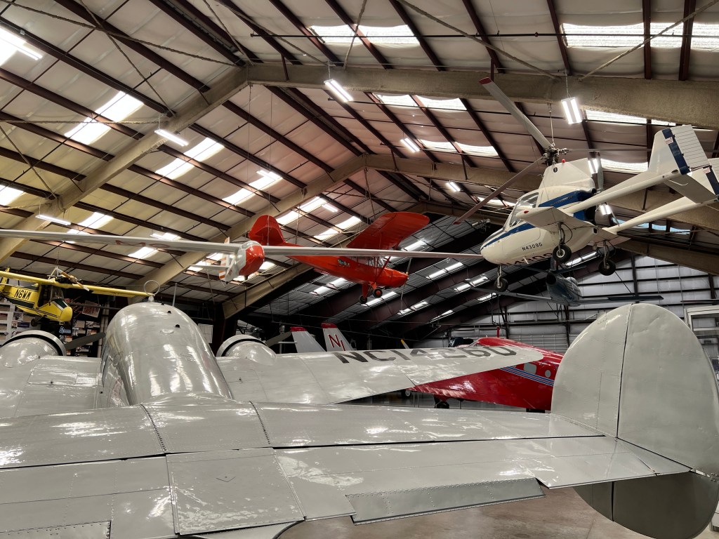
We only managed to see a fraction of the museum and were there for four hours. Once we manage to reconcile war and peace, we’ll return. Perhaps another oasis is in order?
The Many Faces of Mount Lemmon
Friday, February 3
With Phoebe’s recent issues and the cold snap, we’ve been sticking closer to home again.
The last few days we’ve been exploring Mt. Lemmon in the Catalina Mountains, one of my favorite places.
Growing up, my best friend’s family had a cabin in Summerhaven, the alpine village at the top of the mountain. I spent many weekends running wild through the hills, listening to thunder echoing through the canyons and trolling the old wooden-floored general store, where a poorly executed 4th of July pie eating contest left me with a lifelong distaste for banana cream.
We started our explorations at Catalina State Park, on the northwestern side of the mountains.
The recent chill that has had me warming my hands under oven-fresh tortillas has also dusted the mountains with snow, and the saguaros stand plump and happy in front of a backdrop of accordion purple peaks dappled with white.
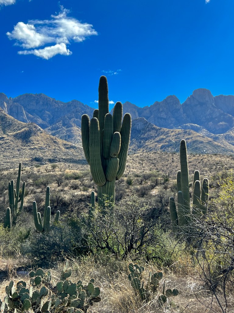
The occasional cloud cast a deep violet shadow on the hills as we walked the sandy path to Romero Ruins, a plateau 400 feet above a confluence of once water-bearing arroyos that was home to a walled Hohokam village a thousand years ago.
Pyrite in the soft arroyo bottom glinted like diamonds, and Phoebe was entranced by the smell of javelina, whose hoof prints we could see criss-crossing the ground. Birdsong and a few solitary hikers were our only companions, and the warm desert sun and beautiful mountain backdrop had us wondering why such a lovely spot was abruptly abandoned in 1150 CE.
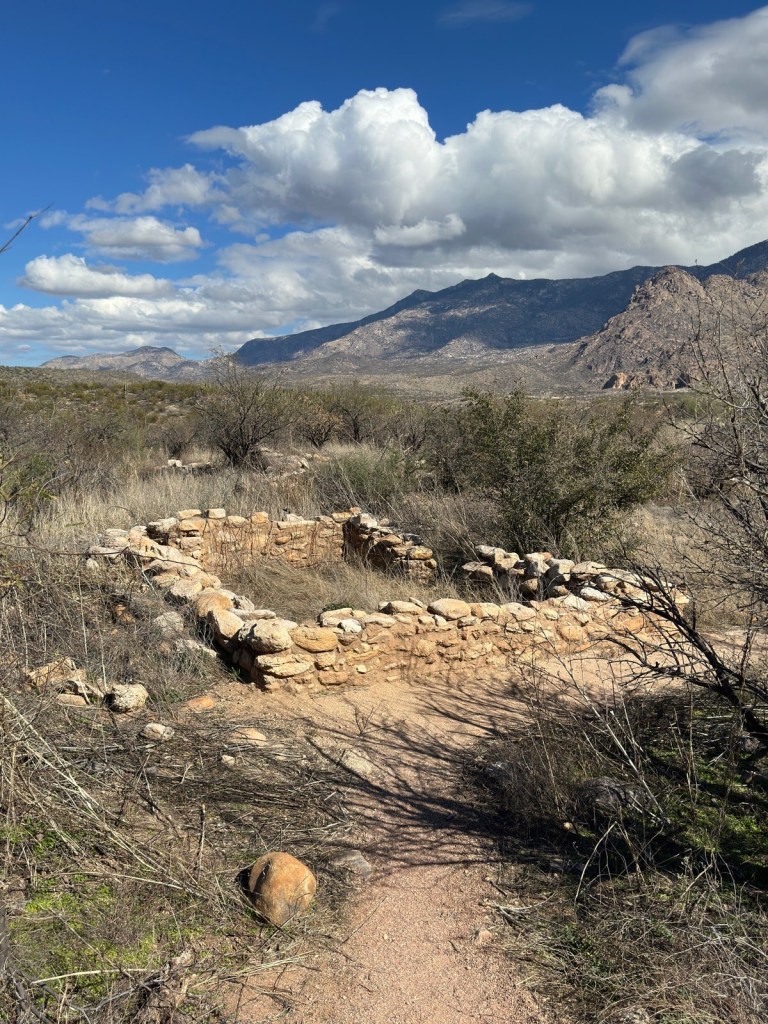
Back around on the southern slopes, we drove up Catalina Highway to my childhood idyll of Summerhaven. The highway ascends 6000 feet, through 4 different ecosystems, and they say that the 1 hour journey is like driving from Mexico to Canada.
We stopped at the golden grasslands mid-mountain and walked Phoebe by a sparkling creek at a former prison camp site, now a lovely picnic area.
Farther along, we clambered over wind-swept granite hoodoos standing guard over the Tucson Valley far below, and emerged in ski valley where a slight headache reminded us of the altitude and skiers cast sharp shadows on the brilliant snow.
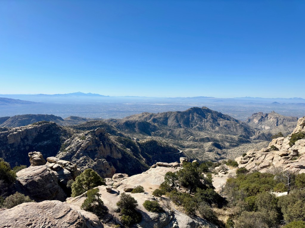
We ate bratwurst by a crackling fire at The Iron Door, a solid wooden chalet that’s been a staple of Ski Valley for decades, and marveled at the change in scenery from the 70 degree desert below.
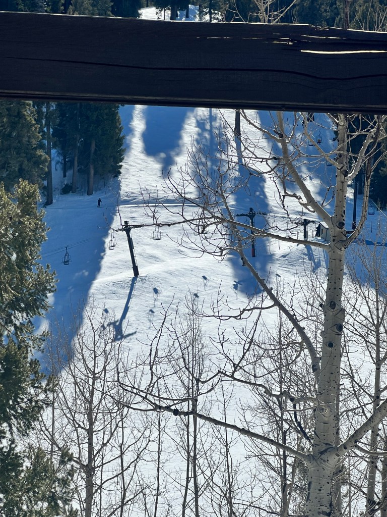
I showed Erich where I learned to ski and where I used to sled as a kid, and looking at the steep slope above a rather scary, deep canyon, it’s amazing I’m here at all!
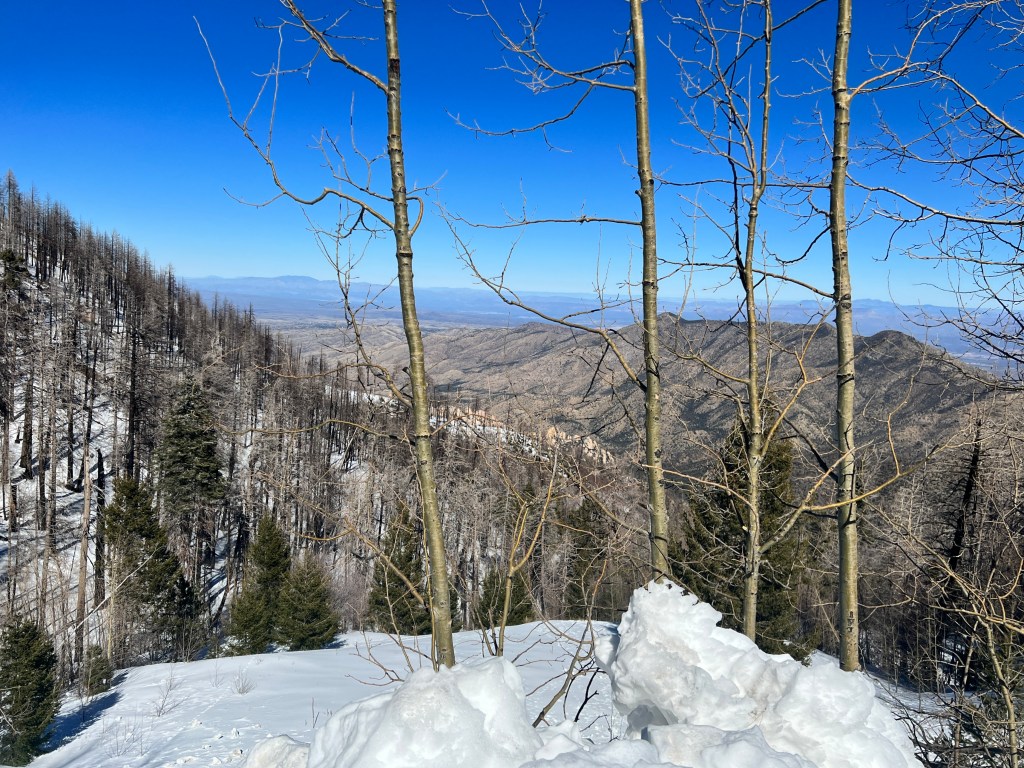
Driving past the old cabin, now rebuilt after the disastrous Alpine fire in 2003, I was reminded of all my ill-advised childhood adventures and my resulting deep, abiding love of the Catalina Mountains.
O, Calamity!
Tuesday, January 31
You know those days that start badly, and just keep getting worse?
I was hoping to write of the gorgeous standing rocks of Chiricahua National Monument, which is where we were headed yesterday for a two day camping trip.
We were really excited to be back in Boo and on the road, and woke up early to pack. I entered the kitchen to make my morning Nespresso and stepped in something cold and soft that worked it’s way between my toes. Phoebe had been following me, and sheepishly turned around and slunk out of the room. And the day got worse from there.
After three weeks on the road to Tucson, we have hooking Boo up down to an art, and were pulling out of the RV storage unit’s gated entry when we heard a large bang and jerked violently, reminiscent of our blown tire. This time, however, our trailer hitch’s ball had come off the trailer when it was jerked just so driving over the railing of the electronic gate. Poor Boo nosedived to the ground dragging her front leg across the track, and ripping it off a weld. We were stuck in the open gate, which closes automatically, and I quickly ran to the office to ask them to disable the gate so we could remove our broken rig. I returned to a shrieking harpie in a Cadillac guiding her husband in a ginormous land yacht. Though there was plenty of room to get through, she insisted there was not, and they had an appointment to get new tires, so could we please “get the h*4# out of the way!”
We did out best to raise the mangled front wheel and move out of the exit quickly, both badly shaken. While Erich tried to hook us up again, I went in and talked with management and went to examine the damage. Thankfully, though the weld was worse for the wear and there was a small divet in the asphalt, all else seemed OK and the gate functioned normally. Whew! We can ill afford another insurance claim after Junior’s break in.
I’m an optimist, and convinced Erich that this was a one-in-a million circumstance and we should forge on as we had not had anything similar happen in 3000 miles. He gave in to me, which usually ends badly now that I think of it, and we hit the road to Wilcox.
The road was terrible, and we bumped all over awaiting disaster, but luckily everything stayed hitched. As we neared the Chiricahuas, we stopped for gas and waited about 30 minutes while the man in front of us filled up not only his gigantic pickup, but his myriad gas containers in what seemed a bottomless truck bed.
Just as we were getting really annoyed, Phoebe began to heave and vomited all over the back seat. I thought, “It just keeps getting better,” and on the heels of that thought Phoebe collapsed and began having what seemed to be a minute long seizure. Her legs jerked convulsively and she foamed at the mouth, all the while remaining conscious and wide-eyed in fear. It was terrifying. After the minute that seemed like an hour, she returned to her usual self, though Erich and I did not. With shaking hands I called the vet, who suggested we bring her in immediately and divert to the emergency vet if it happened again.
We turned the whole rig around and bumped right back to Tucson, where the vet tech took Phoebe back and returned saying “she’s resting comfortably now, but we’re going to keep her in the back for a while. The vet has her echo results from last week and we think we know what’s going on, but she wants to talk to you privately. You’ll have to come back in an hour.”
We had heard similar words before less than 6 months ago when Bert was diagnosed with an inoperable spinal cord tumor, and colored by that experience we left in tears and wandered like zombies around Barnes & Noble until it was time to return for our meeting.
After awaiting the body blow while the vet went through the whole episode again with us, she informed us that the echo was normal but they saw a single PVC, and they think she may have had a arrhythmia. I’m skeptical of this, but also know it is unlikely it was a seizure as she was conscious and had no other typical signs of seizure. We’ll just have to wait and see…
For the moment, we’re basking in the happiness of having our Phoebe back with us and in apparent good health again. It’s a reminder that the worst seeming calamities are nothing compared to what really matters in life.
A Rich History
Sunday, January 29
The ice was an inch thick on the windshield water at the gas station in Benson, and I had to hammer through it with the handle of the wiper to clean the bugs off our Subaru. We’re in the midst of an unusual stretch of cold weather in Southern Arizona, which has kept us closer to home and doing mostly day trips.
Today we were off to Bisbee and Douglas, the centers for copper mining and processing in Arizona.
As the sun rose higher over the chaparral, we peeled off layers and turned off the heated seats, thinking how cushy we have it compared to those who journeyed this way in the 1800s, fearful of Apache and huddled close to their horses for warmth.
We passed Tombstone, with it’s Boot Hill Cemetery and the OK Corral, and a new addition just outside of town, “The Trump Store,” which boasts a huge photo of a sneering Trump hoisting a double barreled shotgun of the type used by Doc Holiday in the famous gunfight. I have no words…
Bisbee presents a stark contrast. Settled in the 1860s after a cavalryman on patrol from Fort Bowie noted despots of copper, the town was once in the company of San Francisco and St. Louis in terms of population and amenities. Built on the steep hillsides of two canyons, homes clung to the rock and it was said that children had to be tethered to posts to prevent them from falling.

The copper boom lasted much longer than the gold and silver booms, and kept the city alive until the 1970s, at which time artists moved in, attracted by the weather and turn of the century charm. Homes here sport “Love is Love” signs, and we wonder how Cochise County public meetings have not degenerated into a reprisal of the OK Corral shootout.
The sun was fully up at our arrival and we wandered the streets of Brewery Gulch and Tombstone Canyon, happy for it’s warmth as cold winds funneled down the narrow passages. Old Woolworth and JC Penny stores, their names still in tile mosaic out front, have gained new life as galleries and antique malls, and we ate lunch on the porch of Bisbee Brewing Company, a microbrewery in one of the old saloons of Brewery Gulch. Street musicians played banjo and fiddles, and if you closed your eyes you could imagine you were here at the start of the copper boom.
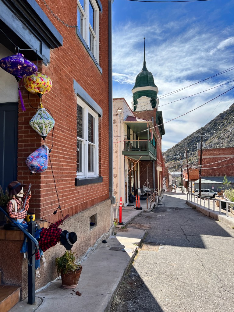
After lunch, we left Phoebe in a comfortable patch of shade and explored the Bisbee Mining and Historical Museum, another jewel of a museum where we learned how early miners, using only human and mule power, managed to drill over 2000 miles of tunnels to access the ore buried down 4000 feet, and how that ore helped shape not only Bisbee, but the entire country during the industrial revolution. I was worried about the poor mules, but read that they were treated very well, and had drinking songs made up about them:
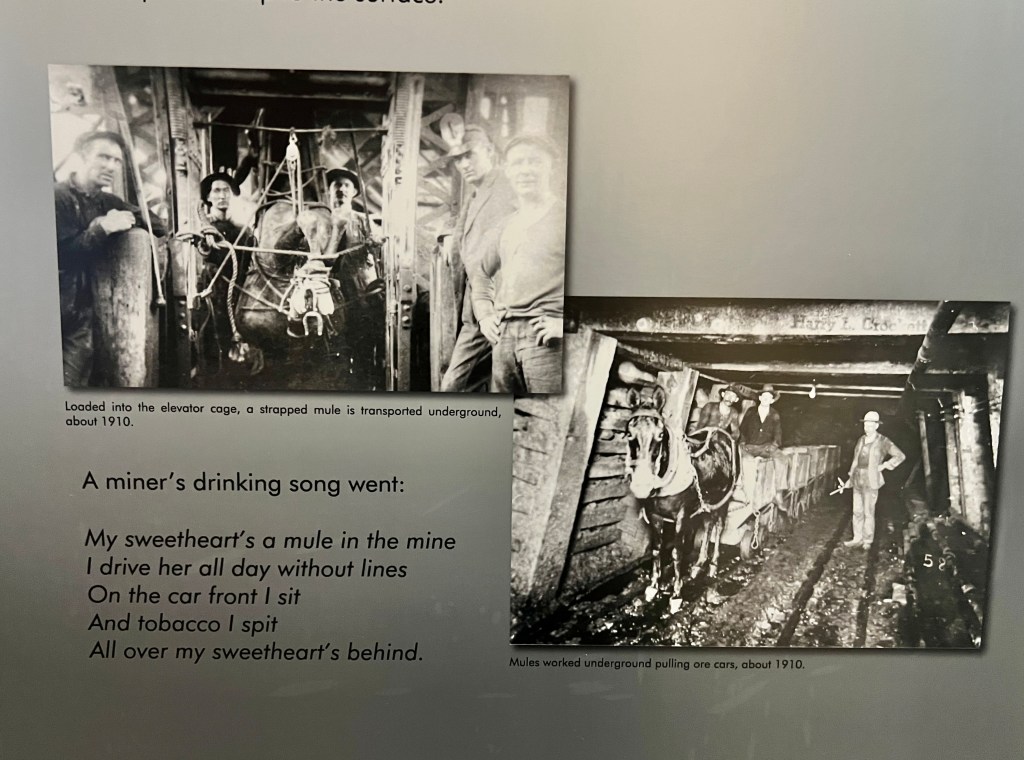
Erich went off with Phoebe to explore outside of town while I looked through the shops and found hand-milled creosote soap at the Bisbee Bath & Sundry, which smells exactly like desert rain!
I got a text from Erich saying he had something to show me that would “blow my mind,” and took me to the aptly-named Erie Street on the south side of the Lavender Pit Mine outside of the main town. He described it as “I thought I had a stroke and was back in time…” and I understand why…It looked like a movie set from the 1940-50s! Four city blocks of old buildings boasting their original signs, many occupied by small businesses, and lined with vintage cars.
I had to go in to “Old Lady Pickers,” an antique mall/junk store, where I found a lovely turquoise and coral pin and discovered where to go if ever I want old, wooden gates.
Onward to Douglas, which sits on the Mexican border and grew up as a center for smelting Bisbee’s copper ore and trading cattle. It was a very profitable center of commerce in it’s day, and a grand hotel, The Gadsden, was built in 1907. From its roof, guests watched Pancho Villa battle the Federales across the border in Agua Prieta, and errant gunshots found their way into the city, the most famous of which removed the tail feathers of a pet parakeet.
The hotel is a destination to this day, with huge marble columns and a sweeping marble staircase in the lobby. Tiffany-crafted stained glass desert scenes color the space, and the Saddle and Spur Tavern branches off from the lobby, decorated with the original copper ceilings, copper bar and brands from the local ranches covering the walls. It is said many large handshake deals over cattle went down in this room, and one of the most famous brands was from the Bar 26 Ranch, owned by John Wayne.
We ate at the original marble soda fountain in the cafe, looking at the old photographs of it’s heyday on the walls, once again lost in history.

Wildcats, Vets and Sunsets
Thursday, January 26
Phoebe has been limping since our trip down the coast, and when we contacted our vet in Poulsbo, they suggested she go in for X-rays prior to any medication being prescribed. This is no easy task in today’s pandemic puppy world, and when we finally found a vet who would see her, we slipped down the medical rabbit hole. After $500 of X-rays, her bones are in good shape, but a new heart murmur was noted and another $300 X-ray revealed an enlarged heart that led us to an unmentionably expensive echocardiogram yesterday. We dropped her off early yesterday morning for her procedure, and after she staggered away in her drug-addled state we found ourselves unusually dog-free.
We’ve been wanting to go to the Arizona Desert Museum, but as they understandably don’t allow pets, we took advantage of our temporary state and headed west.
Growing up here, my family had a membership to this wonderful museum for years, and I spent many visits screaming through the cave exhibit annoying older tourists. As with so much I’m finding in my return, I was physically in the spaces as a youngster, but didn’t truly appreciate them. And karma is real.
The museum is on the edge of the Avra Valley on the western side of the Tucson Mountains, and reached by a scenic drive through Gates Pass, a craggy, saguaro-studded portal that began as a dirt road in the 1880s and is now a favorite place for Tucsonans to watch the colorful Arizona sunsets. This has always been one of my favorite drives on the planet, and I used it as stress relief while negotiating exams in high school, college and medical school. It’s a freeing pleasure to drive it without any stress at all!
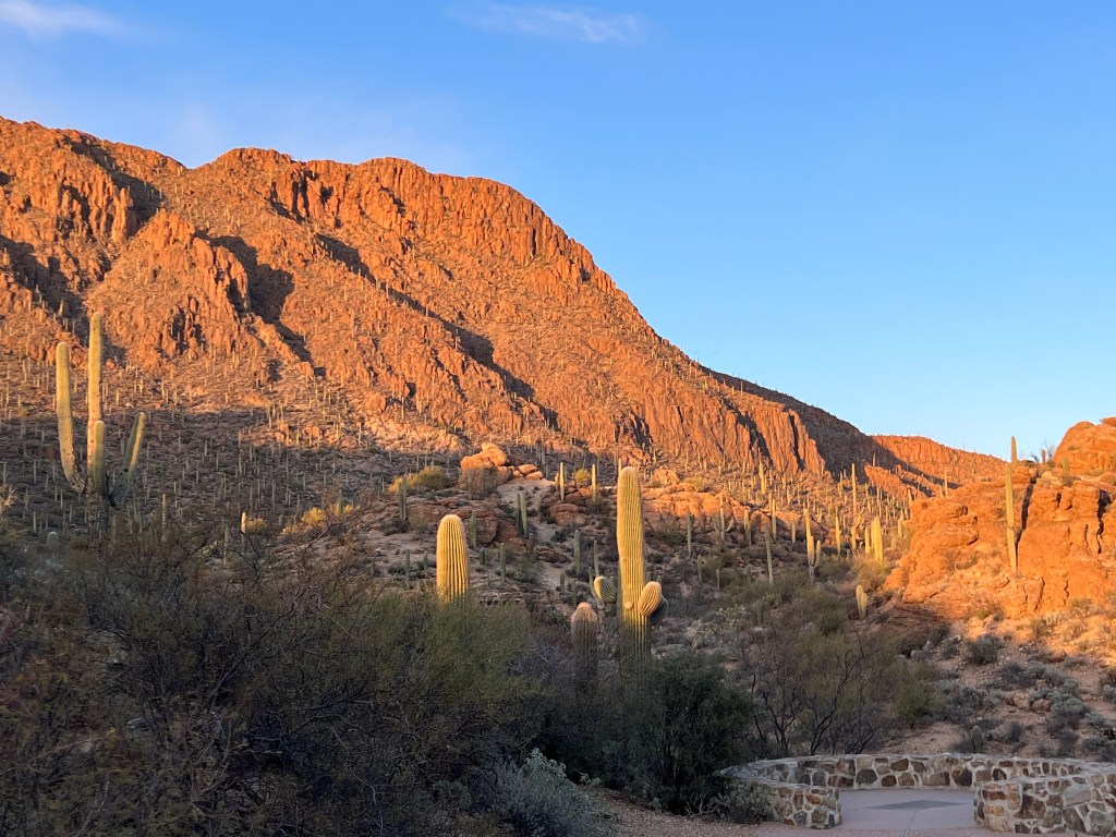
We were the first museum guests and the docents suggested we start with the large mammals as they are more active in the morning. We wandered the well marked paths through the desert as the sun painted the teddy bear cholla fuzzy gold and warmed our skin after the hard freeze last night. Cruz, the mountain lion, basked on a sunlit rock watching us through half closed eyes. Mexican wolves nervously paced about their habitat and a sign noted that they were new arrivals, 3 sisters still getting used to their new home. Javelina were eating breakfast, and a scrap over a carrot showed us their impressive tusks. Well-fed coyotes loped through the subtly fenced desert and rested on sunny rocks, and we wondered if their kin, scrawny and always on the hunt, looked at them jealously through that fence. The art-in-motion ocelot flexed it’s muscles scaling the cliffs of it’s habitat, and the bobcat sprawled in a patch of sunlight, just like a house cat.
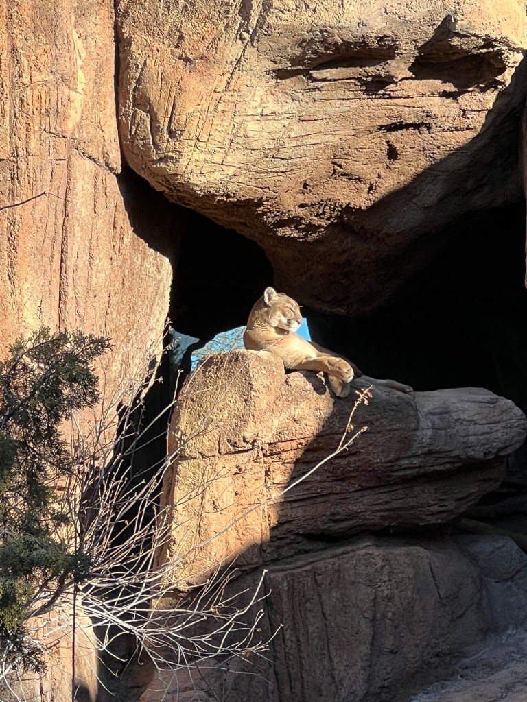

Peppered throughout these lovely natural displays were themed desert gardens featuring agave- who knew there were so many varieties?-and cactus from around the world. We spent two hours in this part of the museum alone, and by the time we were ready for the cave portion of the museum, busloads of small children had unloaded and were racing though the caves pushing us out of the way and shrieking little girl screams-karma.
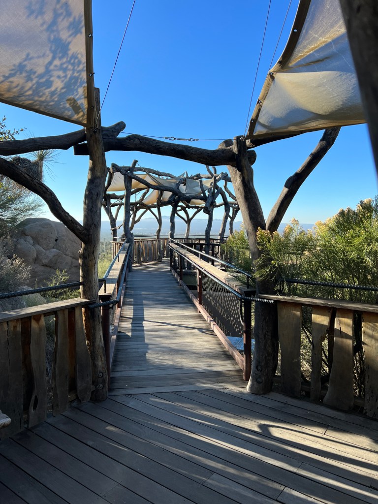
We left the cave quickly and moved to the serene hummingbird habitat, where we were surrounded with flying iridescence and sat enchanted in dappled shade. We checked out the art galleries and impressive art class offerings and met with a mellow Southern California diamondback rattlesnake and a gila monster with an agenda at the reptile show. All in all, we spent 5 hours at the museum and resolved to return early and often.
Picking up a delighted Phoebe, we returned to Gate’s Pass for the sunset-a perfect close to a perfect desert day.

A Remote Outpost
Sunday, January 21
The train’s horn blast cuts through the cold pre-dawn, as much a soundtrack of the Southwest as fog horns are of the Pacific Northwest.
We set out following the train tracks northeast of Tucson as dawn touched the broad valley. Our destination was Fort Bowie, a US military outpost that stood guard over Apache Pass and it’s life-giving spring. This was a crucial transportation corridor for people, goods and mail until the construction of the railroad, and the primary site of the Apache Wars.
We drove for 100 miles on I-10 by the railroad tracks, accompanied by trains and caravans of semis carrying all manner of goods, proving that commerce drives America, just as it did in the 1850s.
We turned off at the town of Bowie, bumping over a worn two-lane road that had more patches than original asphalt. Bowie is a ghost town in the making, with only every fourth building or so occupied, and the others slowly decomposing in the hard packed dirt, home only to tumbleweeds.
Pecan groves, now dormant, were the only visible signs of life and we were glad to start winding into the hills above this lonely town.
The road turned to well graded dirt, an improvement on the pavement, and we climbed to the park entrance ay 5100 feet, a collection of signs and a pit toilet with a pull out for parking-an inauspicious beginning to what proved to be one of my favorite National Parks.
Nestled in rolling hills criss-crossed with washes, the Fort is reached by a 1.5 mile hike.
Soft, flaxen grasses blow in the breeze, and mesquite and juniper dot the hills. The trail snakes along the hillsides, delving frequently into sandy washes lined with walnut and oak, and all is presided over by craggy brows of soft orange rhyolite, upon which one can imagine bands of Apache.

On this cold, bright winter morning we were alone on the trail, the only sound the crunching of gravel under our feet. We stopped frequently to read the signs-the stony remains of the Butterfield Stagecoach stop from the 1850s; the site of an infamous misunderstanding between Cochise and a US Army Captain that led to decades of war with the Apache and the Fort’s establishment; the haunting old graveyard, with markers noting “supposed to be…” when remains were too disfigured to know with certainty who had been killed; the still-bubbling Apache spring, the source of life-giving water and the reason that commerce was routed through these lonely hills.
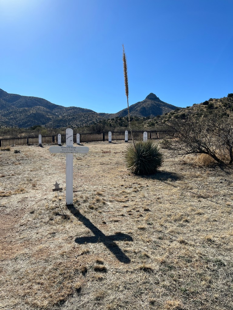
Being afoot and alone with history was a powerful experience, and by the time we reached the ruins of the Fort, we understood how those posted to this far-flung site surrounded by hostile Apache must have felt.
The Fort itself consists of warm adobe walls, melting back into the earth after it was decommissioned in 1894. We wandered the remains of the officer’s quarters, the mess hall, the barracks and the storeroom, thinking of what life must have been like looking out for miles over the hills, awaiting the next supply wagon and always alert to danger.

With the coming of the railroad, routed through more forgiving terrain, and Geronimo’s surrender in 1886, the Fort diminished in importance and was abandoned in 1894. But, to those romantic history buffs, this site still lives in the wonderful presentation by the NPS and will be one of my most cherished visits.
We were silent on our way home, driving into a neon peach sunset, awash in history.
Of Bread, Pots and Fountains
Friday, January 20
Still in a holding pattern awaiting repairs, we have been doing more local exploration.
While eating a middling breakfast at the Bisbee Breakfast Company, we noticed a line snaking around the building, and asked our waiter what had people in line so early. “Oh, that’s the only location of Barrio Bread,” he responded, assuming we would know what that was. Curious, my googling disclosed this was owned and run by local Don Guerra, who won a James Beard award last year for his baking.
The line had eased by the time we struggled though our undercooked home fries, and I decided to taste for myself. Surprisingly, Don himself was at the register and told me about his technique-all his breads are from a sourdough starter and use various mixtures of local Arizona grains. They are works of art in and of themselves, and we hurried home where poor Phoebe got the home fries and we cut in to the warm toasty loaf. Delicious!

Next on the docket was the Arizona State Museum on the campus of the University of Arizona, my old alma mater. I grew up 2 blocks from the University where my father was a professor, and the campus was basically my playground. In addition to being kicked out of the library on multiple occasions for chasing my friends around the wide, spiraling stairs, I left smeary nose prints on the plastic protectors of the wooly mammoth dioramas at the museum, and was interested to see them again.
As with everything, it had changed. First, it was in a different location and now charged an entry fee, and the dark, mysterious interior I remembered from my youth was now a series of brightly lit rooms, most of which were “under construction.” The mammoth dioramas remained, though much smaller and less colorful than my romantic childhood memory, however the pots made up for this.
Without a written language and a largely itinerant lifestyle, the history of the southwest is largely written in pots, baskets and flint, and the University has the largest collection of southwestern pottery in the world in what’s known as “The Pottery Project” -a beautiful display of some of the loveliest of the 24,000 whole pots they curate, with windows into the restoration lab and the entire collection. The geometric designs are elegant and primordial, and the ochres, whites and blacks swirl in patterns that at once echo and define the desert. It’s only a single room, but worth the price of admission, though I doubt my childhood self would have found it so.

Onward for fountains. I’ve always loved the tiered fountains found in the southwest and Mexico-the music of splashing in the otherwise arid desert and the diamond sparkle of the sun on water transports me to a place of reverie. I’ve resolved that my retirement gift to myself will be a fountain to be placed in the small back patio of our condo.
Erich and Phoebe don’t understand this, but they’ve been good sports as I’ve dragged them on my hunt. It’s taken us to nurseries where we learned that a small saguaro can cost thousands, to acres of Talavera pottery that leave one dizzy with color, and outdoor sculpture gardens that have Phoebe barking at tin squadrons of javelina.
The perfect sandstone fountain was finally found, and given it’s heft, will require two men to install it later today. In the meantime, I’ll be standing in line at Barrio Bread.
Desert Deluge
Wednesday, January 18
The rain slapping the brick walkways awoke us from sleep the last two days.
We’ve been in suspended animation as we need Junior to tow Boo, and given the timing of his assault, just before MLK weekend, it’s taking a while to get his windows repaired. Luckily, the parking space at the condo is covered and he’s remaining dry.
The inclemency of the weather would have grounded us in any case, so we decided to make the most of this unusual deluge in the desert and set out for Saguaro National Park East.
There are two Saguaro National Parks that are on the outskirts of Tucson. I spent most of my time in the Western Park, which is nestled in the rugged Tucson Mountains. The Eastern Park is much larger, and encompasses both the desert and 8000 foot peaks. It is located at the base of the Rincon Mountains, and provides the perfect vantage point for the effects of a winter storm.
The palm fronds blew sideways in the wind against the angry, purple sky as we set out, and we weren’t at all sure the park loop would be open as it crosses several small washes that could be running high. Though almost always dry, the arroyos and rivers of Tucson can fill up quickly in heavy rains, and each year people are rescued for ignoring the “do not enter when flooded” signs. In fact, one of the follies of my youth, surprisingly presided over by the young parents of my best friend, was “arroyo hopping,” where we joined hands and tried to make it through the waist deep surging waters. It’s amazing I made it to adulthood.
The Park was open, and fairly deserted, so it felt that we were alone in the storm. The saguaros stood fat and proud, limbs inflated like air balloons from the windfall of water. A mature saguaro can absorb an incredible 200 gallons of water! The other cacti were just as happy, and sat green, plump and sassy on the rolling hills.
Ribbons of silver wound down the mountains, spilling over rocks in waterfalls, whose muted roar we could hear above the birdsong. We forded several very small arroyos, enjoyed the smell of the creosote in the rain, and wandered about the visitor’s center where we learned that a group of javelina are called a “squadron.” Almost as good as a “murder” of crows!
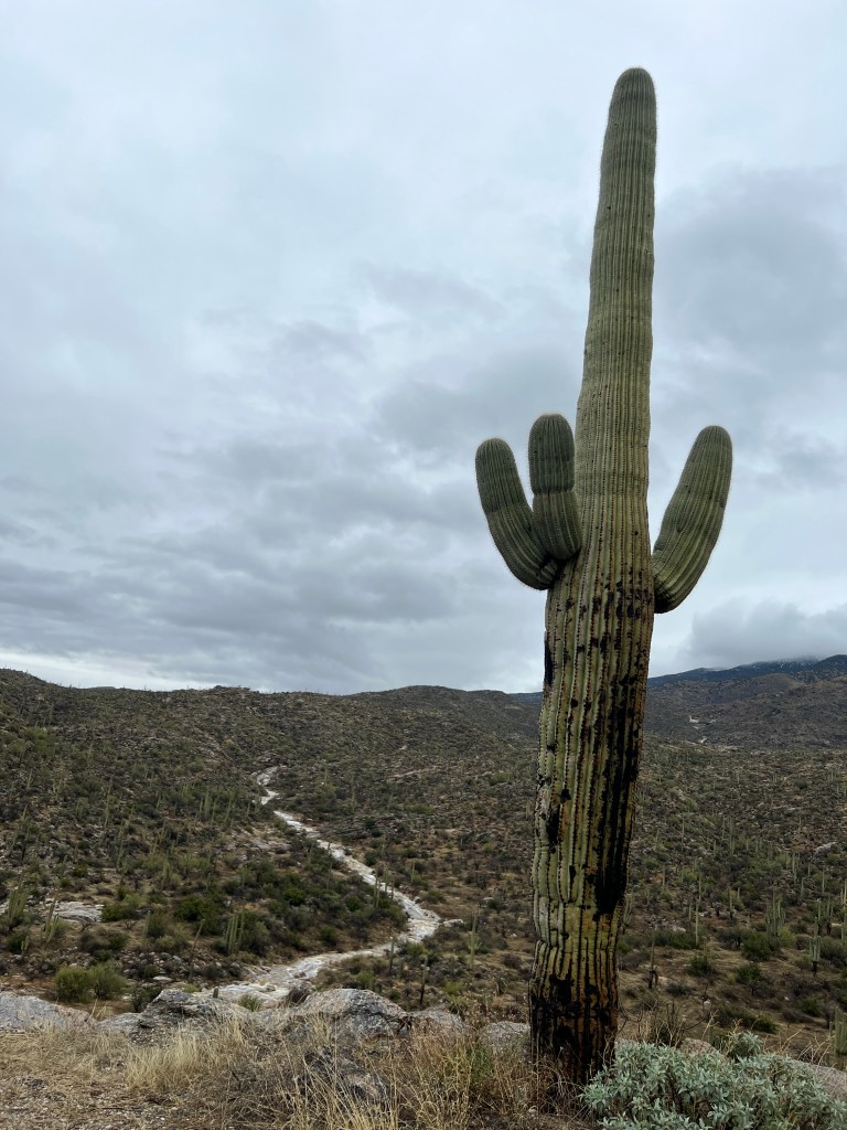
Back home, we walked Phoebe holding umbrellas while splashing through puddles, and she learned not to relieve herself at the curb of a flooded, busy street, emerging soaked and miserable after a passing car doused her while she was at her most vulnerable.
There are other dangers of such a liquid largess in an otherwise bone-dry land, and one of the saguaros on our property experienced the repercussions of overindulgence, soaking up so much water that it became heavy with drink and toppled over! A cautionary tale for us all…

Reflection
Monday, January 16
MLK Day today, a day I had previously nursed mixed feelings about as wherever I worked in my medical career, it was not considered a holiday. The justification was that medicine was a “service to man” and should not ever take a holiday, but this was really driven by administrators who didn’t want to miss the chance to make a buck, and generally took the day off themselves.
Perhaps I grow cynical in my older age, but I think we could all benefit from the time to reflect on MLK and his legacy, especially in this pre-civil war society in which we find ourselves.
I’m still rocked by the attack on Junior, and the fact that in the wake of this a gift sent by a friend was stolen from our porch. Why?
We’ve also noticed that the anger we see in the red-faced politicians on TV has bled into society-driver’s impatience with one another manifest as incessant honking and wild gesticulation; arguments over places in line at the Home Depot and Walmart which necessitate armed guards; an irritated shove in the back by a hoodied Gen-Zer when Erich was unknowingly blocking his path to the grout.
I’m a generally positive soul and have been searching for compassion in the recent incivility we have experienced. Perhaps abject poverty and hopelessness leads to the need to numb one’s senses with drugs and steal to support habits? Perhaps decades of repression has led to hostility? Perhaps one’s graying leads to fading into insignificance and exploitation?
All questions without answers…
But, as I read Jemelle Bouie’s NYT editorial this morning on MLK, reflecting on the words of one of the greatest orators of all times, I find new appreciation:
“Our loyalties must transcend our race, our tribe, our class and our nation; and this means we must develop a world perspective. No individual can live alone; no nation can live alone, and as long as we try, the more we are going to have war in this world.
We must either learn to live together as brothers or we are all going to perish together as fools.”

A Chink in the Armor
Saturday, January 14
You can never go home again-I remember that saying and am now living it. My beloved Tucson has changed.
We reluctantly left Dead Horse Ranch State Park on Friday, eager to make it home prior to Phoenix Friday afternoon holiday weekend traffic. We will definitely be back-so much to explore in that area, including cliff dwellings and mesa-top ruins of the Sinagua peoples that I, archaeology buff that I am, had no idea existed!
In Jerome, I purchased a wonderful “Roadside Guide to Arizona History,” and we read stories of lost mines and long-ago grifters as we drove by their historical homes.
We made it through Phoenix without incident, unhitched Boo at her Marana home, and headed to the condo.
Erich was processing pictures when Junior, our truck, emailed him at 2:20pm to say that he had been a victim of theft. Recall that Junior had been emailing us all trip about mysterious electrical issues that proved to be nothing, so we assumed he was just being lippy. Erich went out to check, and returned despondent-someone had used a large rock to break out his windows and stole everything inside, including Erich’s iPhone which was NOT in plain view, but hidden in the console.
We called 911 to report the crime, and though they were gracious and helpful, they told us the police would not come out for such a minor incident, and we had to complete a police report online.
Erich disabled and tracked the phone and the keys to Boo, which we had air tagged. We found the air tag, the steel band to which had been cut cleanly through, across the street from the condo, but Boo’s keys were gone. We tracked the phone itself to a run down property two miles north of us, but I persuaded Erich that an iPhone was not worth his life, and we settled for glaring intently at the home.
As we reported the theft to insurance, they laughed and said that the area in which we live, close to the University of Arizona and widely recognized as one of Tucson’s most sought-after neighborhoods, also happens to be one of the leading areas for property damage claims in the nation!
This has rocked me. My dad’s 2016 Subaru Forester has sat for 7 years in the same space in which Junior was vandalized with nary a scratch, excepting the 103 year old neighbor who dinged the doors with her land yacht. Of course, my dad’s car was pretty banged up itself, as he had bumped around Tucson in his 90s….in retrospect, it didn’t make too appealing a target,
So, the last few days have been spent getting a new iPhone, securing storage for Junior once we are able to get him repaired, and realizing that the things change in 30 years and you can never really go home again.
A Kaleidoscope of Red
Thursday, January 12
Sedona. The word itself conjures peace and we can understand, after our visit yesterday, why many consider this a metaphysical center of the universe.
We awoke to a brisk 25 degree morning, the golden grasses tipped with silver frost, and set out to explore Sedona. Driving down into the valley, red rocks began as snow-flecked boulders at the roadside and built into rocky cliffs and then jutting monoliths of impossible scope and color, layers of every imaginable shade of red. A yellow hot air balloon floated in a robin’s-egg blue sky, and I’ve resolved to be floating in that very balloon on our next trip here.
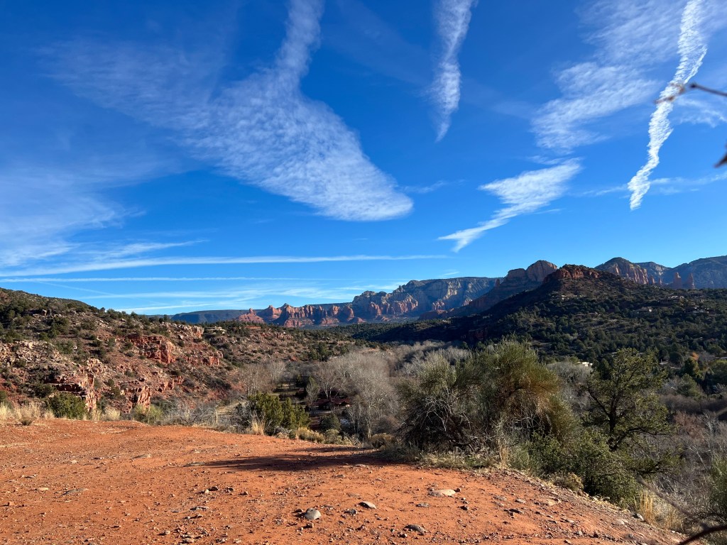
We drove up Dry Creek Road to the base of the cliffs north of town as the sun came around and the scene came alive in technicolor. An impressive array of trials branched out for mountain biking, hiking and off roading, winding invitingly into the cliffs. Phoebe’s nose was covered in red dust, and she bucked and ran down the trails, as excited as we were by the beauty, or maybe just the smells.
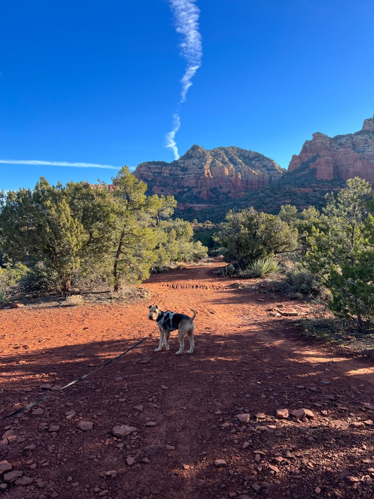
After our hike, we bypassed Red Rocks State Park as they have a strict “no dogs” policy, and made our way to Red Rock Crossing, on the magically-named Crescent Moon Ranch.
A working ranch since the early 1900s and left to the public in 1980, it’s a peaceful valley of dried grasses bounded by Oak Creek on one side, the site of the numerous “crossings,” and watched over by four towering red rock spires. We wandered the creek under the majestic, white limbed Arizona Sycamore, and looked up at the layers of ochre, cinnabar and sienna, natures rough hewn building blocks alive with color. No wonder so many Hollywood Westerns were filmed here!
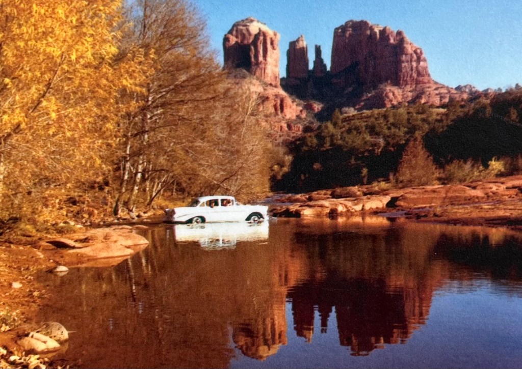
Once again saturated with beauty, we made our way back through Sedona to Telaquepaque, a Spanish-themed collection of galleries alive with splashing fountains, painted tiles and sunlight. Each gallery tried to capture in their own media the magnificence we had just seen-all lovely photographs, paintings and sculpture in their own right, but nothing did justice to the real thing…
Lunch was in a heated outdoor patio after the owner chased after Phoebe and invited her to dine, displaying a special menu for “fur babies.” We have become those people whose life revolves around their dogs, and we were taken in. She got a bowl of water and a pup burger, and received better service than we did!
We drove back to our campsite, past adobe psychic shops advertising “aural photography” and Sedona crystals fronted by sidewalks of brick, and sat in front of our crackling fire while the coyotes sang, processing the day’s kaleidoscope of red.
Back in Boo
Thursday, January 12
Arizona was built on the 5 C’s: Copper; Climate; Cattle; Citrus and Cotton. Having been living the second for the past week-70 degrees and sunny every day-we set off to explore the first.
Arizona’s state parks have been impressive-clean, well appointed and informative, and we decided to try another in the heart of the biggest copper-producing country in Arizona history, Jerome.
We picked up Boo from her luxurious covered storage unit off I-10 and headed north.
Rolling saguaro-strewn desert outside Tucson gave way to what seemed a hundred miles of freeway around Phoenix and then up into higher country with pleated golden hills of piñon pine and mesquite. We passed “Bloody Basin,” named for an Indian War battle where unfortunate souls leapt to their deaths in the confusion of conflict, and Arcosanti, an experimental community of artists and architects designing new ways of living sustainably. Tantalizing side trips which we left for another day.
We crested a 5000 foot pass, and the Verde Valley stretched out before us-Sedona’s red cliffs in the distance under a forever sky. Named for the Verde River which brings a profusion of cottonwood trees to the valley floor, this was the site of a fort active in the mid 1800s, garrisoning troops that fought the Apache Wars until Geronimo’s surrender in the 1880s.

After checking in to our campsite at Dead Horse Ranch Park, we set out for Jerome, clinging to Cleopatra Hill 2000 feet above the valley floor.
Recognized as a rich mining area since the mid 1500s when Spanish explorers brought back rich silver ore, it’s remote location saved it until the mid 1800s. Once in railroad reach, the ore became much easier to process and poor Cleopatra Hill was blasted, picked and dug away, to the point where the actual town began to slide down the hillside. Nonplussed by this development in the pursuit of riches, the mayor at the time referred to Jerome as “a town on the move.”
Mining stopped after 100 years in the 1950s, leaving a mountain carved into tiers and scattered with rusting, eerie-looking mining equipment standing bony and bleak, guardians of an age gone by.
While I’m not much of a mining buff, Erich is endlessly interested, and we explored the old mining sites and weathered wooden buildings around them, then walked the town where many original stone buildings remain, now artists’ galleries, restaurants and tourist shops. The town, in addition to sliding down the hillside, was also destroyed three times by fire, last in 1899, and some of the old, ruined buildings remain in the midst as romantic reminders of the town’s past glory.

Back at camp on the valley floor, we walked Phoebe through the cottonwoods by the river, their shed leaves a dry whisper about our feet. We enjoyed another amazing Arizona sunset through their winter-bare branches and thought of the seasons of history…
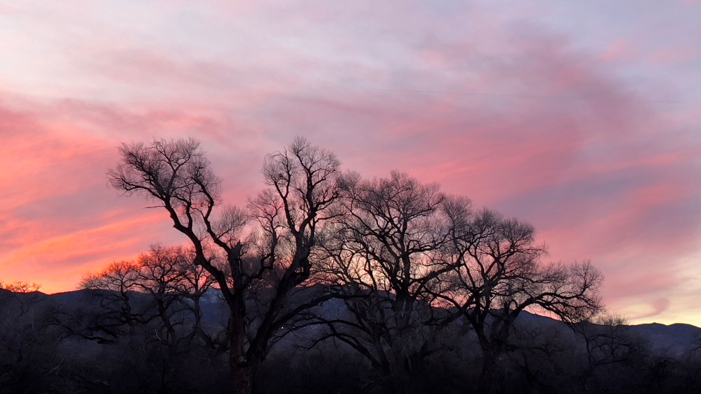
Through New, Old Eyes
Sunday, January 8
We’ve spent the past few days concentrating on the condo, getting our new refrigerator and sewing curtains (me) and re-caulking the bathtub and waging war against roaches (Erich).
The refrigerator delivery went surprisingly well considering our doorways are very narrow and the spot to place it was sized circa 1950 and both refrigerators and Americans have grown considerably since-coincidence?
Our delivery person commented on our other avocado-green appliances: “whoa, dude, is that a dishwasher? It’s super old…” and said appliances now sit trembling in the shadow of our new stainless steel refrigerator awaiting their fate. We’ve advised them they’re safe unless they frighten Phoebe.
Yesterday was our day of rest, which meant we went out exploring again. Our destination was Tubac Presidio State Park, 50 miles south of Tucson.
It’s funny how when you live in an area, especially as a child, you are somewhat blind and deaf to it. I’m finding out all sorts of things that I never knew about my home, and it’s an amazing, historic place.
Tubac has been a townsite for perhaps several thousand years, occupied by the Pima, Apache and O’odham tribes. In 1691 the Spanish arrived and built this presidio to garrison soldiers to protect against Apache raids, provide a center for trade and, of course, support the missionaries in their quest to convert the natives to Catholicism. It’s been occupied in various iterations ever since, all of which are on display at this gem of a museum.
On a lovely sunny Sunday morning, we were the only guests. We strolled the courtyard, where the outline of the old adobe walls were still visible, and 19th century buildings were kept in original condition by an army of local volunteers. This included the 1880s schoolhouse with the “rules for teachers” written on the chalkboard: “Male teachers are to be allowed one night off a week for courting. They will be allowed two nights a week if they attend church regularly.”

There was a small museum on the site as well, with artifacts from all periods of occupation-Native American, Spanish, Mexican and American-and Phoebe was particularly interested on the sleeping arrangements of the 1700s.

The gravel crunched underfoot as we walked under the mesquite trees of the Anza trail, where a Spanish expedition set off in 1755 to establish a fort at what became San Francisco. Erich discovered a few pieces of thick, pale blue bottle glass here, and I imagine this to be the remains of some long-ago soul’s precious possession. My desert glass collection begins!
After this charming stop, we set out for Elvira’s, a Mexican restaurant in Tubac that we were told was “not to be missed.” It was 1 mile north as the roach flies (our AZ form of measurement) and truly indescribable. Their specialty is mole-a classic Mexican sauce that contains fruit, chili peppers, nuts, several different spices, and chocolate. This was definitely tasty, but the decor of the place was what had me making several unnecessary trips to the bathroom just to gape. Multicolored blown glass ornaments of all shapes hung from the ceiling and coalesced organically to form chandeliers and were magnified by large wooden mirrors propped against the walls. Illuminated Mexican lanterns cast patterns on the polished concrete floors, and a Spanish fountain bubbled in the background: A Frida Kahlo-esque dreamscape and I could only imagine the romance of the place at night…a delight for so many senses!
After lunch we wandered the streets of Tubac and explored the small galleries of this artist’s community, but after so much history and color we were rather saturated. This would require another outing of it’s own. Who knew there was so much to see in my old home through new eyes!

Horse Country
Thursday, January 5
Wednesday was spent ridding ourselves of chairs and books, including a beautifully bound copy of “Proceedings of the American Society of Civil Engineers: 1915.” We investigated whether libraries or universities would want this-I inherited the whole set through 1950-and alas, the time for books has passed. So, we made a painful trip to the dump with the books and a mismatched and broken set of antique chairs and tables that Erich finally convinced me I was not going to fix.
This was emotionally fraught for me, as I felt I was throwing out pieces of my parents. The 1915 edition, however, lives on in the hands of a fellow dump patron who took it to stage homes.
After this, I was done with cleaning for a while and yesterday we embarked on another day trip to regroup.
Our destination was the ghost town of Harshaw, just north of the Mexican border in the Coronado National Forest and in the heart of horse country.
It surprises many that Arizona is home to anything but desert, and this trip was a wonderful example of the environmental diversity of the area.
The country around Sonoita and Patagonia in southeastern Arizona is made up of rolling golden hills studded with mesquite trees, century plants and bear grass, with views of the snow capped Santa Rita mountains in the distance.
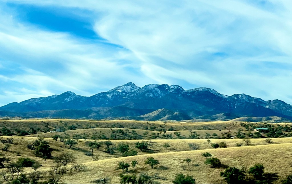
This has traditionally been horse and cattle country, and to a large extent still is, but a burgeoning wine industry has taken hold as well, and lovely ranches and vineyards dot the land.
At the dusty intersection in downtown Sonoita, old western-style false front buildings housed upscale markets, frequented by pickup driving patrons in cowboy hats.

We turned south tho the town of Patagonia, a small similarly-themed western town with an upstart artist community, and drove a winding dirt road leading deep into the hills.
Lonely windmills and abandoned corrals graced the landscape, and we slowed to avoid donkeys and longhorn cattle grazing at the roadside, the size of which came as a shock to Phoebe and she started back from her window.
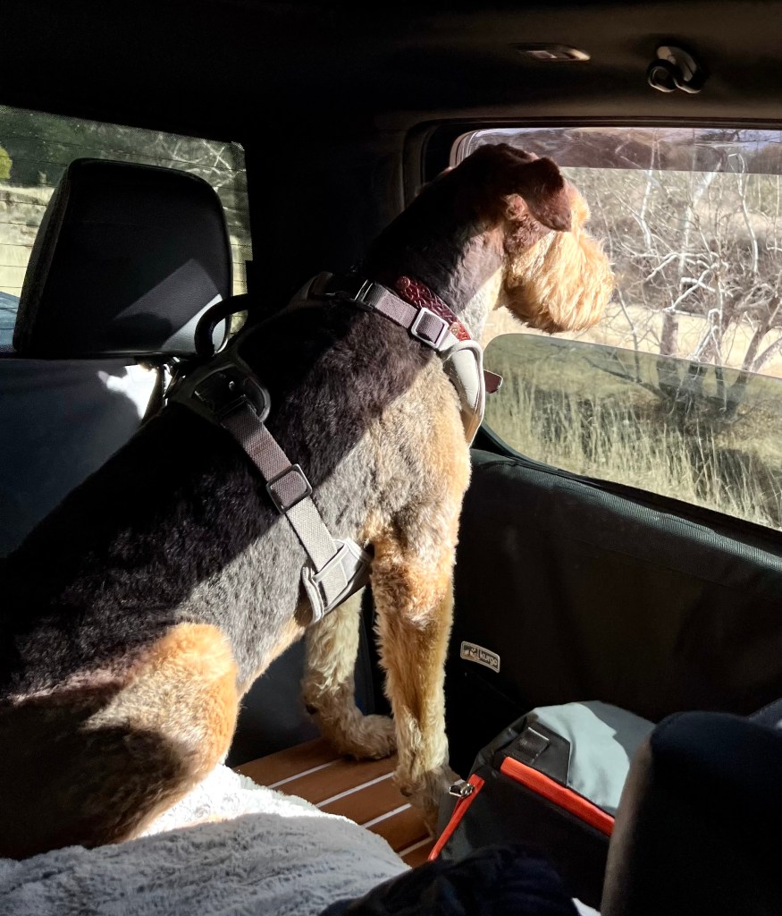
Soon, we were in a wide floored canyon that housed the few remains of Harshaw, a silver mining town of the 1880s. Towering Arizona Sycamore and Cottonwoods lined the banks of a small stream, their spent leaves rustling dry whispers in the soft sun, and we explored the adobe remains and town graveyard in splendid isolation.
The town’s patriarch, whose family still live in the ranches of the area, is interred at the top of the hill. He was killed just before Christmas in 1899 in a dispute over a cow and his murderers hid his body in a canyon where it was discovered 2 months later, perfectly preserved in the snow. His wife is buried next to him, and their descendants obviously still care for their well-tended graves. History lives.
We reluctantly left this serene place to explore Patagonia Lake State Park, a cat-tail rimmed oasis hidden amongst burnt brown hills. This beautifully tended park is a Mecca for local fisherman, boaters, kayakers and campers, as well as a stunning number of birds.
We strolled a sun-dappled path bordering the lake, alive with birdsong, surprising green and a fresh, verdant smell-a perfect close to a perfect day.
Hitting Pause
Wednesday, January 4
As I was industriously moving my piles yesterday morning, Erich suggested we take a break and get back to what I love about Tucson.
Growing up here, I felt like I was at the end of the world. All that was “happening” was in New York and California, and I was isolated in the boondocks. I liked the sunsets, the saguaros, the mountains, the Mexican food and barrio architecture, but living amongst those things became like breathing, and I didn’t appreciate them.
I fell in love with the city of Seattle when I interviewed for residency, and happily relocated there in 1991. But as time went on, and I experienced the first few Seattle winters, my Tucson roots began to tingle and grow. Though I still love Seattle and it’s long, silky summer evenings, I began to miss the wide open skies, saguaro-studded foothills and warm adobe walls of my home.
Yesterday we set out to reconnect with what I miss.
We started with a trip to Saguaro National Park which sits in the Tucson mountains on the west side of town and is a gorgeous expanse of rolling high desert mixed with craggy peaks and home to 1.9 million saguaros (yes, there is actually a saguaro census!)
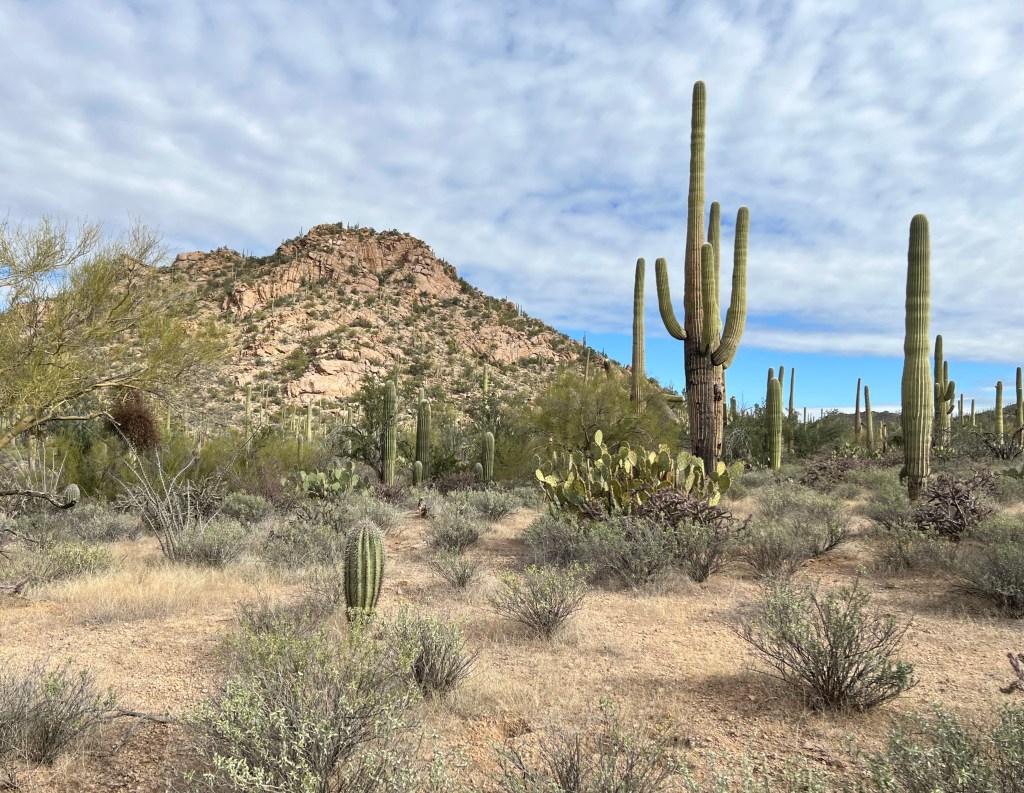
We love the Bajada Loop Drive in the park, which is a dirt road with several excellent picnic facilities built by the CCC that are rock-hewn works of art in themselves. We took a stroll through the desert, Phoebe had yet another encounter with cactus-she’s stymied by the different varieties and gets an unpleasant shock to the nose daily-and a coyote trotted across our path not 15 yards away. All was serene birdsong and warming sun.
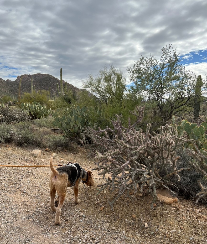
Next, we headed to Barrio Viejo (translation: old neighborhood) on the south side of town for lunch. Erich was surprised to learn the city was founded in 1775 and ranks as one of the oldest continuously occupied sites in North America, with traces of native Hohokam culture that date back four thousand years.
Barrio Viejo is now home to gentrified lawyers offices and upscale homes and restaurants, but still retains it’s old charm with narrow streets, burnt adobe walls and colorful doors and windows.
We headed for one of my favorite Mexican food restaurants, Seis Kitchen, which is located in the courtyard of a restored mercado (market) building with thick white walls and wrought iron gates leading to a bricked and treed inner court hung with colorful ribbons.
Another Tucson factoid: it was designated as a UNESCO world heritage site of gastronomy in 2015 for it’s unique Mexican food. Seis Kitchen is one of the places that routinely gets a shout out in this category. We dined on birria quesadillas and surf and turf burritos, and Phoebe had her first tortilla chips.
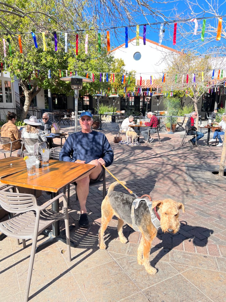
As we ate in the soft sunshine with ribbons fluttering brightly overhead and Phoebe lying happily in the shade, I took a deep breath, my roots revived and content.
Home Challenges
Tuesday, January 3
Well, it is good to be home, but home comes with issues when it’s been neglected for 35 years.
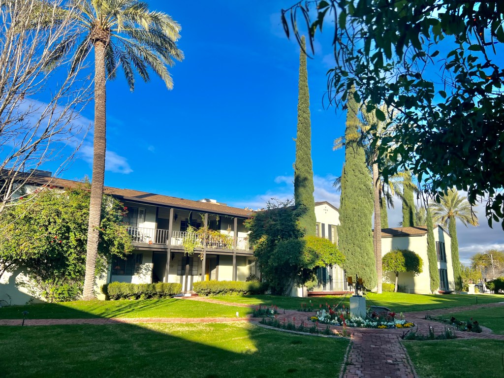
We have moved back to the condominium where I lived when I went to medical school, a historic 1940s property in the heart of Tucson’s Sam Hughes district. My parents had bought the property as an investment and had never lived there. I had stayed there off and on while traveling to Tucson monthly to care for my dad, but had never been there for more than a few days at a time, so….
The first challenge was the refrigerator. It’s about the same vintage as my early medical career, late 1980s, and has been making disturbing banging noises that startle Phoebe. Since it’s had more to do with he purchase of actual food, it’s repertoire of sounds has grown to include a scary spooled up whining that has us wondering if it will lift off the ground. It will be replaced on Friday.
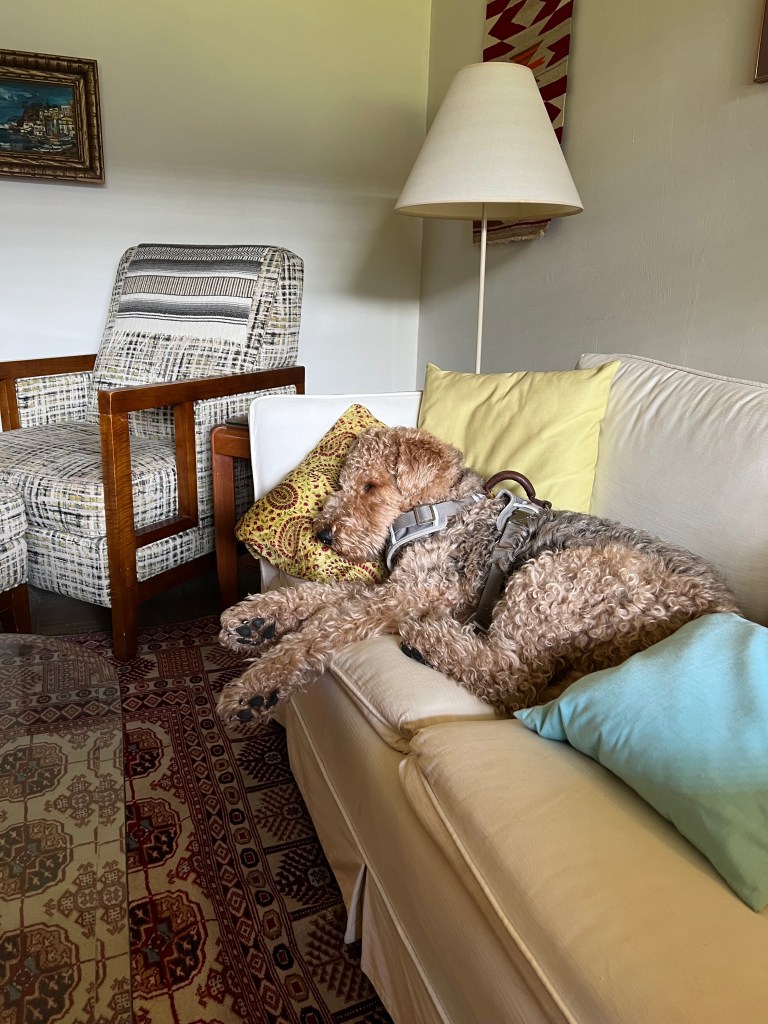
The second challenge is the laundry. We have on-site laundry machines at the complex which take credit cards or pay by Bluetooth connection via app. Well, they won’t take our credit cards and the app won’t connect, so we have no way of doing our laundry. This prompted a trip to a 24 hour laundromat on New Year’s Day where we sat for several hours trying to avoid looking at a woman with a missing ocular prothesis.
The third challenge is the walls. A scary-looking moisture stain is on the wall between the dining room and bathroom, and this seemed to be home to a number of insect intruders, including a very comfortable looking roach backstroking in the tub. Anyone who knows Erich knows how well this went over with him, and he attacked the walls with a screwdriver and crowbar, removing the plaster to expose the insect condo beneath. The tenants were evicted and the area cleaned to reveal a crumbling structural 4 X 4 at the base. Calls to the property management company, about this and the laundry, have gone unanswered.
The last challenge to date has been the sheer amount of stuff that is packed into the place.
My parents home of 50 years was quickly cleared by me after my father’s death in 2020, and all the contents placed in the condo. As my mom was a regular at Tucson’s many antique malls and my father an oriental rug fanatic, this has left us swimming in chairs and rugs, all of which have sentimental meaning to me. I’ve been busily moving the piles of things from room to room, unable to make any decisions about getting rid of anything. The bathroom is currently housing two antique chairs. This may be the biggest challenge of all…
We hope to be back on the road soon and report on adventures exploring Monument Valley, Sedona and the Grand Canyon, but for now we’re exploring the local Home Depot and the attachments of only children to parents’ worldly goods.
The Long Road Home
Wednesday, December 28
Have you ever smelled the desert after a rain?
Growing up in Tucson and riding out the summer heat, it was always a joy to see monsoon clouds on the horizon and hear the distant rumbling of thunder promising rain. But better yet was the cool, clean feeling after the rain when the air was heavy with a unique scent-a mix of aromas that creosote and other desert plants release in response to moisture.
As I walked Phoebe around our campsite at Jumbo Rocks, the scent of the desert rain, along with the sleepy-eyed glares of the 20-something climbers annoyed at a “senior” invading their turf, made me long for home.
We packed up early and headed south towards the Salton Sea.
Neither of us had seen the Salton Sea, and as it was on the path of one of our routes to Tucson, we decided to take a detour. This took us through vast, sun-baked and largely featureless desert dotted with occasional palm trees, and reminded me of a too-long bus ride we once took from Alexandria to Cairo.
We arrived at the campground and secured a campsite with power, a must for our air conditioner which we knew we would need. This was a sad asphalt parking lot, cracked by the sun, with the scant shade of a wilted tree.
Undeterred, we hooked up and headed to the visitor’s center across the parking lot. The hours sign posted said it should have been open, but a battered sign handing askew in the window declared it closed.
We headed to the beach, a spongy white granular material-salt?-that crunched as we walked. Phoebe got a few stick chases in before both she and Erich broke through the crust to sink into a smelly brown mud and we called it a day.
Back at Boo with the air conditioner going full blast, I looked out the window over our bed at a palm tree, fronds blowing quicksilver in the hot wind, and checked my watch-1:30 pm. I couldn’t imagine spending my afternoon cooped up in Boo, and had little interest in exploring more of this area. Perhaps it was the morning’s smell of desert rain, but I wanted to be home.
Despite paying for the site, we packed up and left, pushing for Tucson seven hours away.
We passed more sun-bleached landscape and stopped in a nameless small town for drinks. I heard the hollow sound of an empty can blowing about the parking lot while I waited for Erich to return to the car, and when he did he said he had stepped on a flattened rattlesnake.
As we entered Arizona, the land came alive again. Dusk descended in a lazy purple hue, and the cool night air blew out the laziness of the hot afternoon.

We stopped at an RV Park in Gila Bend, 2 hours outside Tucson, to rest for the night before planning our final approach. We still had to decide what to do with Boo and re-sort our condo vs. camping gear. As we sat by the fire pit, stars hanging low overhead, the smell of the rain-swept desert blew in and I knew I was home.
Desert Potpourri
Tuesday, December 27
One of our treats these days is to hit a greasy spoon for breakfast, indulging for the day and skipping lunch. Peggy Sue’s was heralded on billboards outside of Barstow as a classic 1950s diner, and so it was. Betty Boop under a blazing marquee greeted us at the front door and turquoise and pink uniformed waitresses welcomed us warmly. The walls were lined with signed photos of celebrities who had stopped over here en route to Las Vegas, and rockabilly played in the background. We indulged in homemade biscuits with whipped butter and thought about the heyday of Route 66.
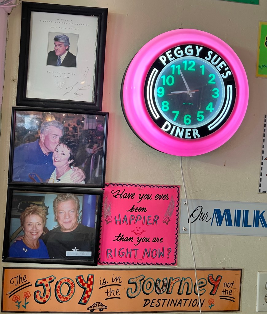
While at breakfast, Junior resumed his email complaints. His electrical system needed “attention” again, and though we had been reassured in Bandon that all was well, we didn’t want to embark on a journey through the empty deserts with any doubt. There was a Ram dealer in Barstow, so we deduced to make a quick reassurance run.
Barstow is a classic stop on old Route 66, and I remember driving though with my family when I was 8 or 9. At that time, it had been a row of motels and little else, and though I was delighted by the Motel 6 pool, I thought “who in their right mind would live here?” Perhaps Barstow has changed, or more likely I have, but I found it charming. The old motels remain, but restored like “Peggy Sue’s,” into time capsules of the 1950-60s. Downtown was clean, and the salesman at the Dodge dealer was friendly and reassuring. Junior was like an irascible mule, he said-annoyed to be pulling Boo and giving us electrical feedback. He advised us to ignore the emails. Let’s hope out mule doesn’t buck and die on the journey!
Thus reassured, we set off for Joshua Tree National Park via a two lane highway out of Barstow that stretched strait for miles across the Mojave Desert, ending at a T in a windswept hamlet of hardscrabble at Lucerne Valley-abandoned houses boarded up at the roadside, bleached out street signs and bony dogs roaming the cracked sidewalks. A lonely soul in a wheelchair sat sleeping at the intersection.

We turned left on “Old Woman Springs Road” and climbed out of that haunted, desolate valley to Yucca Springs, a thriving desert community serving the tourists to Joshua Tree.
We stopped to re-provision and were struck by the wind, which was howling like a wraith and blew tumbleweeds through the parking lot. We’re certainly not in the Pacific Northwest anymore!
On to Joshua Tree, and the crowds. We waited in a mile-long line just to enter the park, and once inside it was crawling with people-literally crawling. Families with small children climbed over the jumbled granite formations at the roadsides, which were parked solid. Farther from the road, rock climbers hunched like beetles carrying their bouldering mats hiked to more distant formations, and colorful down dotted the rocks where they were already in action. Sprinter vans-the favored abode of the climbing community-were everywhere. Despite my latest edition of Moon’s “Camping California” advising me that reservations were not accepted, all camping sites in the park were reserved, and we circled the tight campgrounds in vain, dodging the crowds in our ungainly rig.
Just when we had given up hope, we ran into a lovely campground host. I asked her about the reservations, and she took pity on me and my “old” book, giving us an “administrative” spot in Jumbo Rocks Campground for the night.
Situated, we left Boo and went out to explore.
Both of us were very off put by the congestion, and found our way to the unpaved dirt roads that criss-crossed the park. It was here that we found the magic of the place.
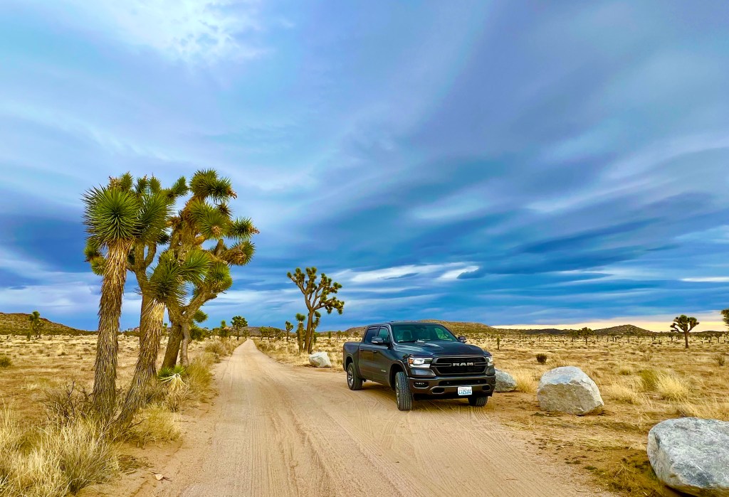
The light sand whispered as we drove through the otherworldly landscape. The plain stretched wide before us, studded with sienna Monzo-granite formations that tumbled like giant’s play blocks under a sky washed purple, violet and grey with the promise of rain.
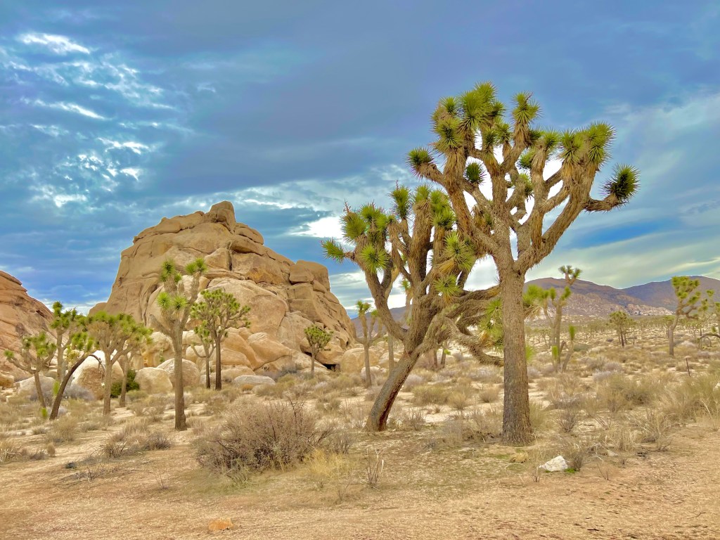
Joshua trees, actually cacti, grew gnarled and spiny all around, in poses that were both human and alien. The contrasts in color and texture-the sharp green spines of the trees against the smooth ochre granite under the soft, plum bruised sky-were a delight to this want-to-be painter’s eye, and I could have driven for miles.
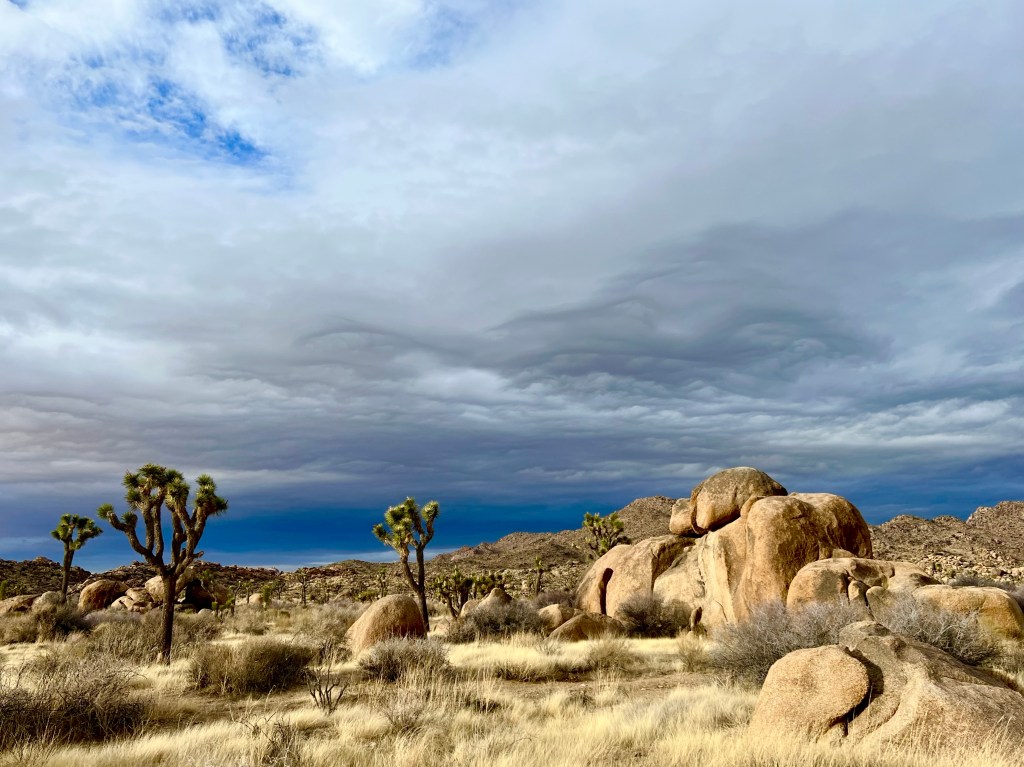
While Erich took photos, Phoebe and I went for a walk on the dusty road, watching the sun play with the clouds and spotlight the landscape. The only sound was the wind, which continued it’s tempest, but somehow that fit with the place.
We returned to camp, saturated once again with beauty, and climbed in Boo as the rains began.
A Different World
Monday, December 26
Today we cut east to avoid Los Angeles and it’s infamous traffic.
It was a rough night at North Pismo Beach Campground. Our site (recall the lack of reservation) was by a train track and a scrappy little tree that was home to an owl. At first charming, the hootenanny lasted all night and ended up being more disruptive than the train. Our efforts to illuminate him to drive him off only served to increase his complaints.
We departed as early as we could and headed through the green rolling hills outside San Luis Obispo along the route of the old Camino Real. Cutting east at 166, we soon left those verdant hills behind for mesquite trees, chaparral and yucca, definite cowboy country with skies that seemed to go on forever.
Winding out of the low eastern slopes of the Sierra Nevadas we arrived in Maricopa on the Antelope Plain, a dried lake bed. A more desolate place-flat, brown with only a scrap of vegetation-is hard to imagine. Just outside of town, a dense fog began, and wrapped the oil derricks bobbing like giant praying manti in a sinister cloak.
Soon orchards of “Cuties” showed up beside the road and workers shivering in the cold fog were harvesting the crop. Row after geometric row of orchards, some long past harvest, shorn and stick-like in the haze, vanished feet from the road, and the whole effect was soft and at once eerie.
A gauzy coyote looked out at us from tall, golden grass and then suddenly, we climbed a hill and were above the fog and into the Tehachapi Mountains.
More rolling hills of a different stripe-dried grasses and oaks with gnarled branches, bony against an overcast sky.
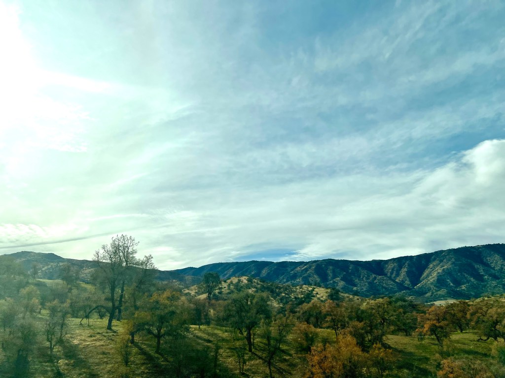
Another drop to Antelope Valley and our first joshua tree amidst the tumbleweeds. The flat valley floor went on for miles and we came upon an inexplicable traffic jam outside of Barstow in the middle of the Mojave desert. It took us an hour to go 20 miles, and we began thinking LA might not have been a bad option. It broke up as quickly as it started, and we were in Calico, CA.

Another of Erich’s passions is western mining and history, and he had read about Calico ghost town. An 1880s silver mining boomtown, it’s brief life was about 20 years and it was falling into ruin when Walter Knott purchased it in the 1950s and restored it as a diorama of mining and western life, donating it to the county to run as a park.

For the purest (Erich) it was not really a ghost town, but for the romantic (guess who?) it was perfect. We strolled the wooden boardwalks, went in to the 5 original buildings, now shops, and enjoyed the feeling of the Old West.
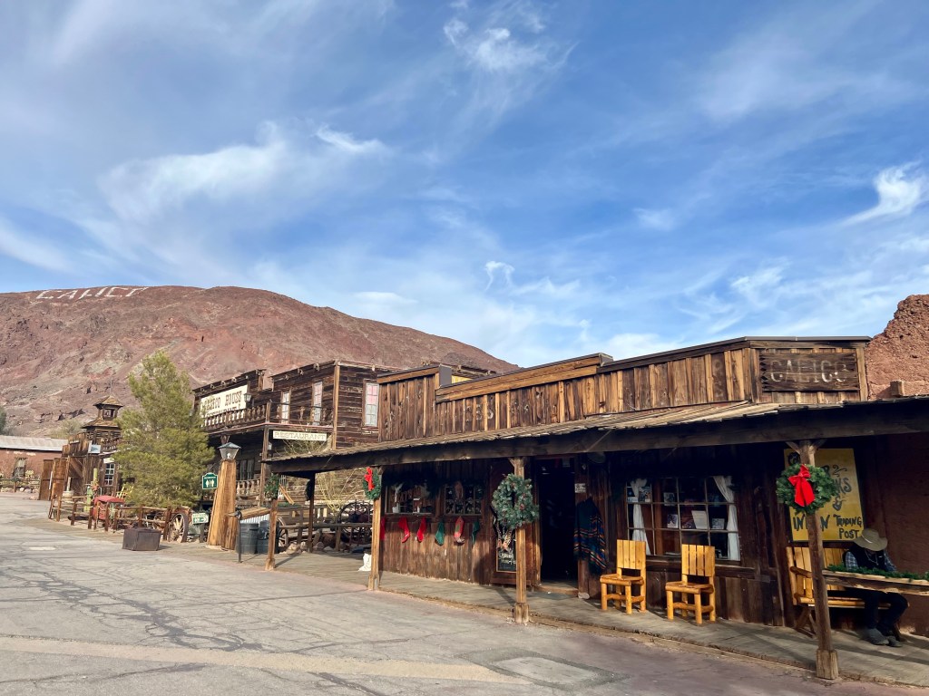
Sitting in our campground just downhill from town, we watch the sky turn purple, pink, red and gold over the arid desert hills, and find ourselves in a different, but still beautiful, world.

Christmas in California, Part 2
Sunday, December 25
Christmas morning began with a dance under falling eucalyptus leaves.
Boo has a lovely stereo system and we began playing Christmas music when we got up to have our morning libations-toasty Nespresso for me and chilled diet Pepsi for Erich.
We started to hear a light rain patter and, not expecting this based on the weather forecast, opened the door to see a flurry of sage and lemon yellow eucalyptus leaves showering Boo.
As “Have Yourself a Merry Little Christmas” started playing we slow danced in Boo to the eucalyptus “rain” in the glow of our battery-operated Christmas lights.
And the day, for us anyway, got better from there. It was a very bad day for skunks.
Our plan was to make Pismo Beach by early afternoon as per our apple directions, which took us down highway 1 in three hours total.
Christmas Day would seem the perfect time to drive this scenic road-little traffic allowing for many stops and not much interference towing a trailer. I believe the skunks thought the roads would be deserted as well.
Departing Carmel we saw our first dead skunk in the city limits-someone in special skunk mitts will likely deal with this before long, as nothing affronting is tolerated here. Our second we spotted at Point Lobos and third by the Carmel Highlands Lookout. That’s when we started counting in earnest.
As we rounded the lookout, we were awestruck by the vista before us. The coastline unfolded in a series of pleated headlands, falling away to the horizon. The waves breaking violently around the shark toothed rocks offshore created a sheer linen haze that hung about the cliffs like a veil, and made the scene ethereal. Sandy paths wound through coastal ice plants, vibrant in Christmas colors of green and red. Pampas grass grew golden and feathery over the hillsides, shimmering in the morning breeze. The waters churned turquoise in the coves and aquamarine just offshore, where they were speckled with kelp beds. There is no way a photo could do justice to this spectacular beauty.

The second surprise was that we were far from alone. A string of cars was out this early Christmas Day, backed up at the State Parks and crowding the pullouts, and every campsite we drove by was full, which made us anxious heading south as we assumed no one would be camping on Christmas and had not made a reservation. This also likely accounted for daed skunks 4 and 5, which we saw before darting inland to Big Sur.
I had imagined Big Sur to be a coastal surfing hamlet, and perhaps it is in some form we didn’t see from the highway, but what we experienced was a dramatic change in scenery from the coast to Big Sur-another lovely town amongst the redwoods with log-hewn cabins decorated with white Christmas lights and the smell of wood fires in the air.
Back at the coast, we found a dirt shoulder outside Gorda where we could pull over for lunch, avoiding the crowds, and it was a joy to prepare a simple Greek salad and salami sandwich under the eucalyptus trees, looking out over the Pacific.
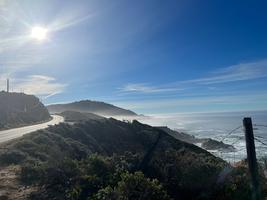
After lunch, we both became somewhat immune to turn after turn of beauty-more craggy headlands, flat tops coated in kelley green grass; more hillsides carpeted with luminous creamy pampas grass; more pocket beaches where the surf nipped at the sand and crashed at the rocks. There’s only so much one set of eyes can process…
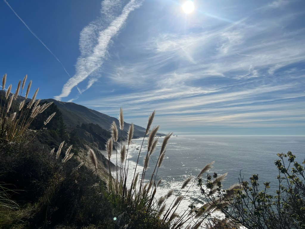
Just as we were going to stop for the night to recalibrate our beautometer and give Erich a break from the tough hairpin curves, the land flattened to rolling green horse country around San Simeon.
The luckiest mares in the world grazed on vibrant fields above the Pacific, elephant seals basked shiny, brown and huge in the soft beach sand, and Hearst Castle took it all in from it’s tree shrouded perch in the hills.
Phoebe alerted us to our 15th dead skunk just outside Shell Beach. As we hadn’t seen any other roadkill during out trip down, we wondered if the hills in California just teem with skunks or it’s a teenage skunk thing to play chicken with 101 traffic…mysteries.
We pulled in to Pismo beach 6 hours after leaving Carmel, and vowed to double any apple maps times from now on. It was a hard day driving and exhausting day of exclaiming over yet another view, and we were happy to pull into our campsite and relax.
A late afternoon walk in the surf on expansive Pismo Beach was just the ticket.
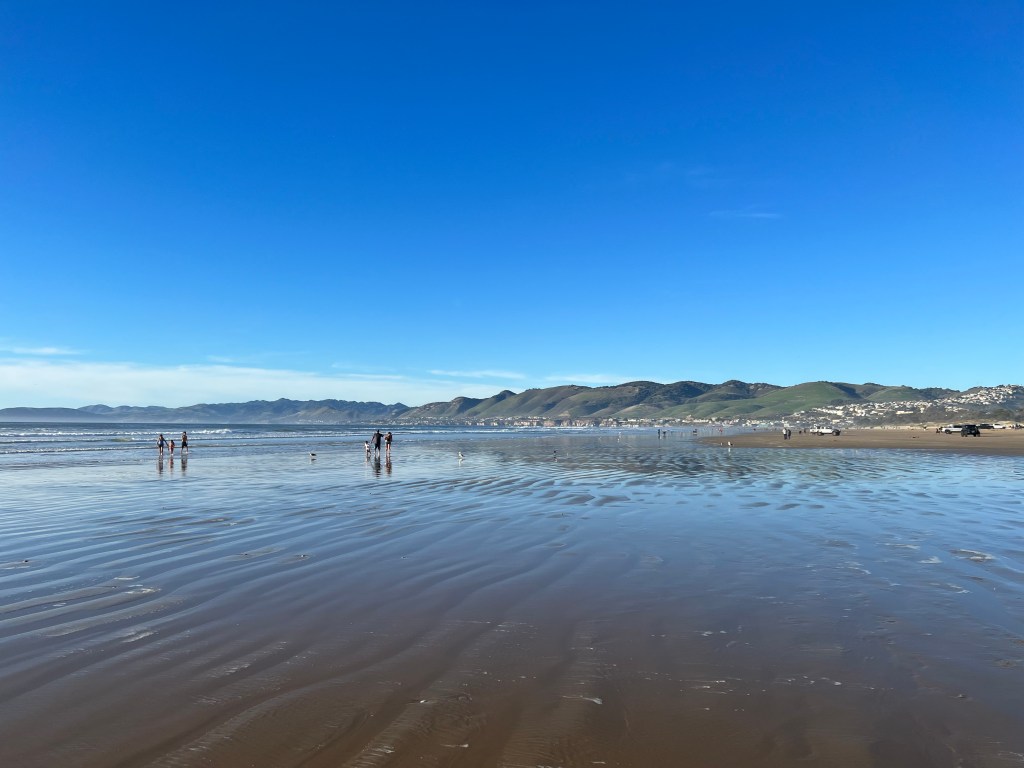
As we felt the soft, warm sand between our toes and the (relatively) warm Pacific waters climb our ankles, we judged this a perfect Christmas in California.
Christmas in California, Part 1
Saturday, December 24
Today dawned just as one would expect in southern California, clear and sunny, as we set out to explore Carmel.
Our first stop was refueling Junior and we pulled in next to a Rolls Royce whose owner was using the free gas mitts provided to avoid sullying his hands. We’re clearly no longer in the forest wilds!
Then off through charming neighborhoods of mission style homes mixed with seaside shingle and slate abodes, and the occasional whimsical hobbit’s den to arrive at the Carmel Gate of the 17 mile drive.

I was here 35 years ago, and things have definitely changed. You are charged an entrance fee of $11.50 just to drive around Pebble Beach these days! However, the well marked drive with pull outs, parking and great historical signs was worth the price of admission. We wound through groves of coastal pine and cypress and through placid open meadows, all golden in the early morning sunlight.
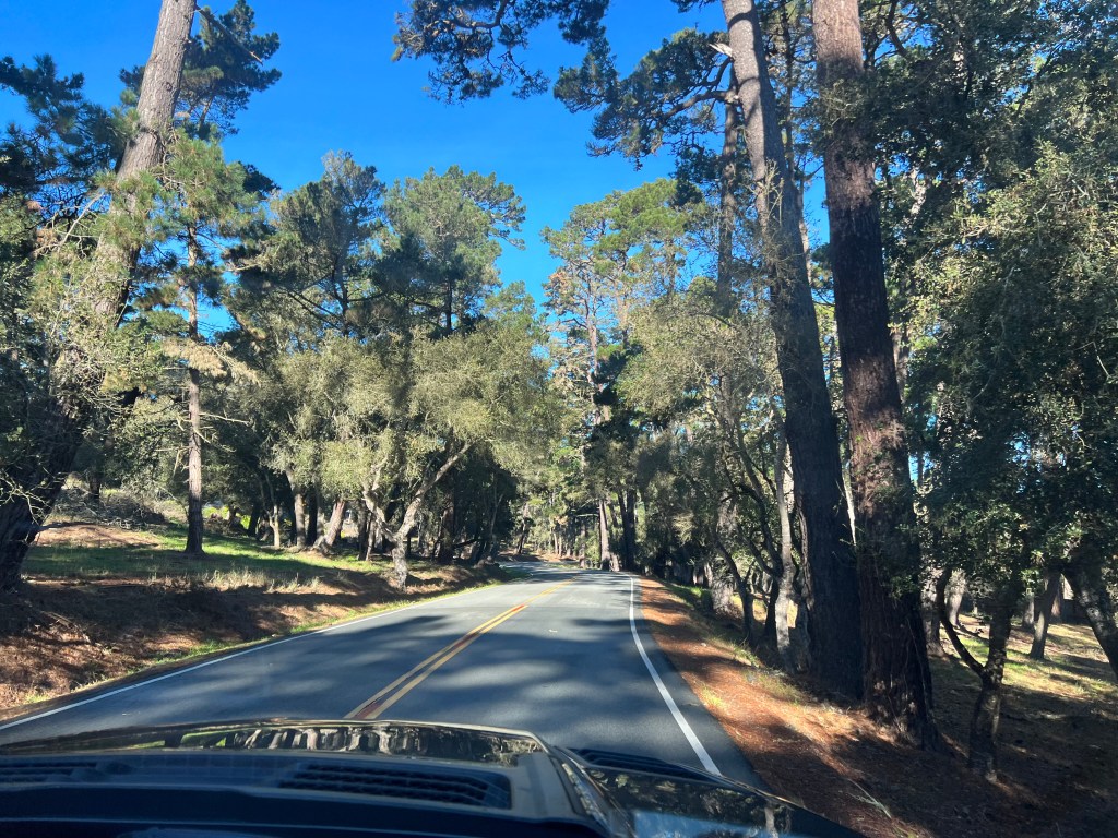
Our first glimpse of the coast was at Spanish Bay, and the sea was in winter form, curling high, breaking wildly around the rocks and spilling in a froth onto the sand. A gaggle of surfers bobbed in the waves awaiting the perfect wave.

Erich took photos while Phoebe and I strolled the sun-bleached wooden boardwalk that wound through the grassy dunes just above the rocky shore. The waves were high and occasionally exploded around a rock and spewed across our path, startling Phoebe. A surfer passed, board in hand, petting her and telling her “it’s all good, man.” A more stereotypical California scene is hard to imagine.
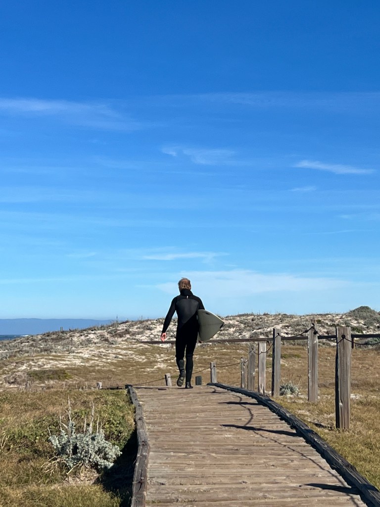
We continued around the loop, admiring the views at every turn and the gorgeous hacienda-style homes perched on the cliffs so high above the heaving seas. Estate gates were decorated with wreaths whose bows glinted in the sun, and one could imagine life would be perfection behind those gates with those sweeping views.
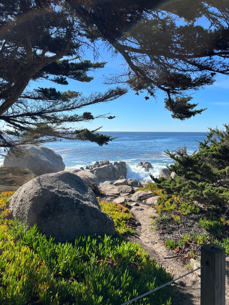
Just when we thought this couldn’t get much better, we stopped at the Cypress Ghost Grove-more thundering waves, bonsai-like cypress lining to the hillside and expansive views of the cliffs-and the air was heavy with the scent of coastal verbena, blooming happily in every nook and cranny, delighting one of the few remaining senses not yet enamored of this special place.
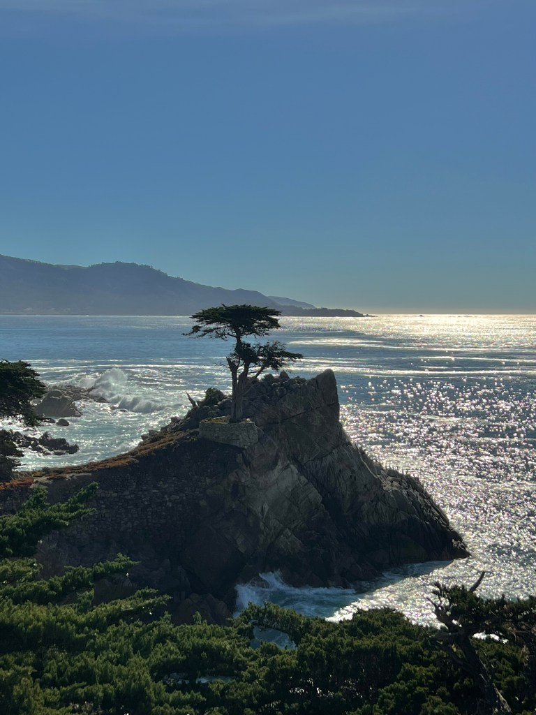
Back in the village of Carmel-by-the-Sea, we strolled the main drag of Ocean Avenue, lined with charming shops bedecked for Christmas and designed with the Rolls Royce driver in mind. The windows of these cottages-turned-boutiques advertised bespoke clothing, linen, cookware and decor, and all buzzed with activity this day before Christmas.
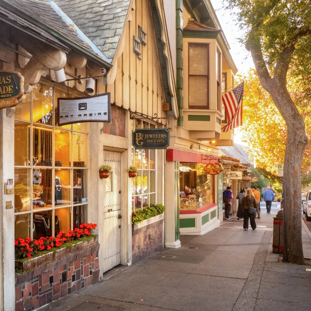
We dined alfresco in a sunlit courtyard, Phoebe at our feet, and she and I did some in-store browsing at Anthropologie after lunch. Dogs are allowed in all stores here and though Phoebe joined me to browse houseware, her preference was for art galleries, into which she darted when we weren’t paying attention.
We bought nothing but food for tomorrow’s Christmas dinner-a reprisal of pot roast now that I’ve read the Instapot manual-and we returned to our campsite on the Carmel River to enjoy a magenta sunset on this lovely Christmas Eve.
Farewell the Gentleman Farmers
Friday, December 23
We said a reluctant goodbye to William and Sam this morning and began our journey south to warmer weather.
We spent our last day lazing about the farm and hanging out in William’s well-stocked leather working shop. We sat by a cozy wood stove, listened to Celtic music, drank Scotch and helped him craft our new accessories- saddle leather belts for Erich and I and a Viking themed collar for Phoebe. She’s feeling feeling pretty spiffy, as are we!

Then Sam gave us a copy of his children’s book, “Sunny Visits the Farm,” which is sold in the local bookstores and based upon moving to Mendocino with their oldest dog. It’s beautifully drawn and joyful, a true reflection of him.

We leave marveling at the creativity of our friends and as we drove down the now familiar lane through the redwoods, scaring the local flock of wild turkeys, we think them the perfect gentleman farmers and hosts.
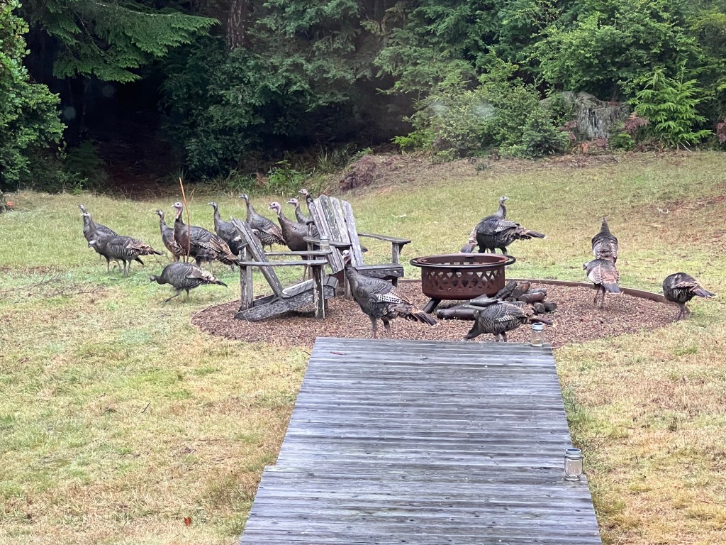
After our post-earthquake drive down the northern part of Highway 1, we opted to go the inland route to Carmel. Highway 1, though beautiful, has it’s share of hairpin turns that leave us wondering if Boo will beach herself.
This took us on Highway 128 through Anderson Valley, and I’m so glad it did!
After winding through another redwood forest, we emerged in the gentle, rolling hills of the valley, studded with moss draped oak and expansive, geometric fields of grape vines from the fast-growing Mendocino wineries. Charming eateries with names like “The Bewildered Pig,” alternated with lovely estates boasting wine tasting, which we unfortunately had to leave to another day.
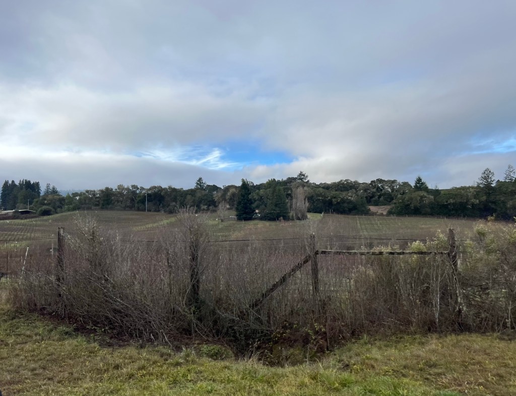

We emerged on Highway 101 and crossed the Golden Gate Bridge in a fog, the silhouettes of the San Francisco skyline and Alcatraz ghostly in the distance. As we climbed Pescadero, the sun emerged and we saw our first palm trees. We opened the sunroof and I peeled off my sweater for the first time this trip.
In retrospect, driving a long distance through a major metropolitan area on the eve of a holiday towing a trailer was not the best idea, and we spent the next 3 hours in stop and go traffic. However, the sun was warm, my former work email account deleted, and I had no responsibilities, so I just relaxed and enjoyed the ride!
My First Chanterelle
Thursday, December 22
The fog softens the forest this early morning as we relax, waiting for the house to come alive.
There’s much to come alive at Frog Hollow-two parrots, three dogs, a cat, 5 chickens and a rooster, not to mention their two human companions.
It rained most of the day yesterday, and from this peaceful place, with it’s huge windows, wood-fired sauna, Japanese soaking tub and stable wi-fi, we settled in to recharge.
We caught up on news, email and texts, as we’ve been without stable service for days.
Phoebe played with her new pack, investigated her first cat, and was sent fleeing from her first encounter with Kiki the parrot, who took offense to being examined so closely and released a bone-chilling, warbling wail that lasted 30 seconds.
After a hearty brunch, we donned our rain gear and took to the woods with a basket, hunting mushrooms for our dinner.
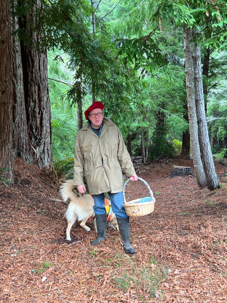
The dogs ran ahead, twigs snapping under foot, as we stomped through the loamy duff. All manner of mushrooms surrounded us, Dr. Suess-like explosions of yellow, orange, red, purple, brown and white, though only a few of these are edible.
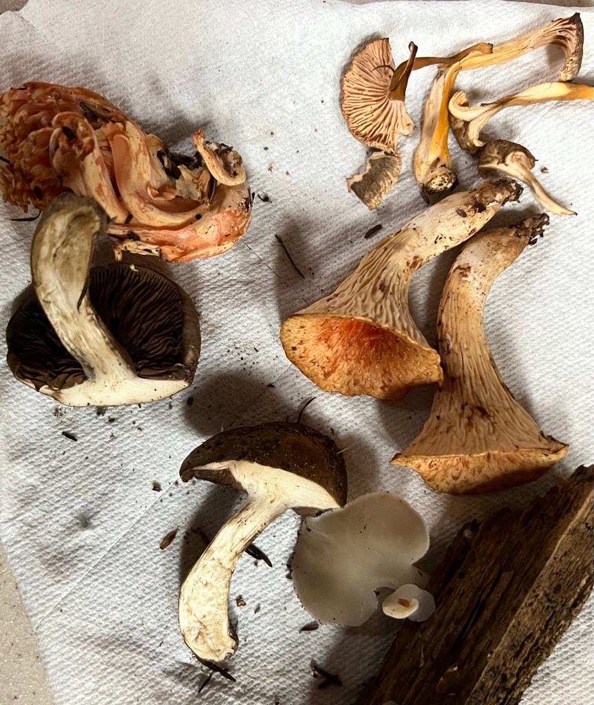
We have mushrooms in our yard at home too, and I’ve always wanted to harvest and cook with them, but Erich has refused to eat them as I have no idea what I’m doing and would likely send us on some sort of a psychotic trip, if not kill us.
Thus, it was wonderful to wander the woods with mushroom connoisseurs, who identified the first one I plucked as the deadly amanita species, so perhaps Erich has a point.
In the next hour I learned how to identify the edible chanterelle and hedgehog mushrooms, and before long our basket was full to overflowing. Back at the house, William showed me how to do a spore print, delicate works of art often used to identify species.

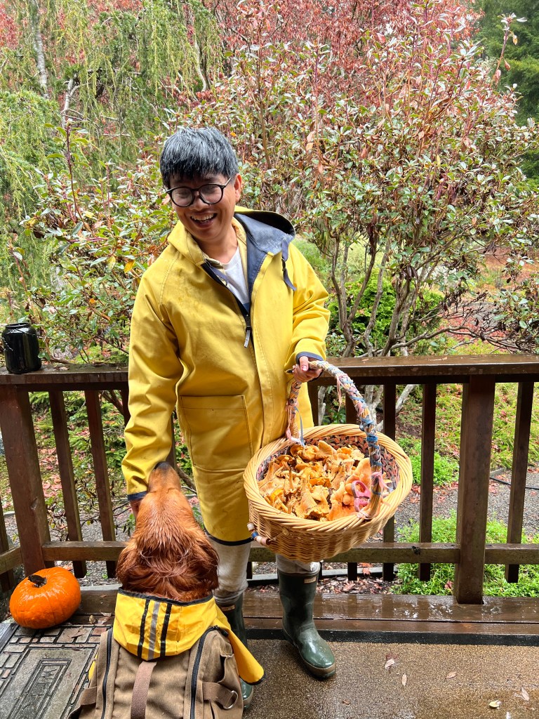
Sam and I then drove down the coast to the town of Mendocino in search of ingredients for his famous tiramisu which later lived up to it’s billing-light, creamy and delicious!
Mendocino is a charming little town, very much like Winslow on Bainbridge Island, with a view over the rugged cliffs and surf. Local shops lined the streets and twinkled with Christmas lights, adding cheer to this otherwise sleepy, grey day.
Back home we settled in by the wood-fired pizza oven and dined on the best mushroom and margherita pizza of my life as the rain pattered on the canopy above, the oven blazed with warmth, and we were lit from within by wine, good food and good company.
A Warm Welcome in the Redwoods
Wednesday, December 21
We drove south yesterday to Mendocino, leaving behind a Humbolt County still reeling from the effects of the largest earthquake they’d had in years. The power was out for 50 miles and we listened to updates on the radio as we drove-significant property damage and several related injuries and deaths, but it could have been much worse.
We took the spur of 101 to winding Highway 1 and if the earthquake didn’t serve to jumble all the innards of Boo, this twisting road sure did!
For almost 40 miles along the coast it was up, down and around and round. Erich did a masterful job driving our ungainly rig on a minimum of sleep.
Despite it’s challenges, the ride was lovely. Clinging to hills of golden beachgrass, diving to pocket beaches and winding through tunnels of eucalyptus.

We arrived an hour ahead of schedule and decided to burn some steam off Phoebe before meeting our friends at their home in Mendocino, so pulled over at the Cabrillo Point Lighthouse.
California’s Parks have been pretty spectacular thus far-clean and well marked-and this was no exception. A snaking path through a golden meadow on the headland, studded with juniper and coastal pine, took us to the immaculate lighthouse seated on an outcropping between two deep coves washed with turquoise surf. Sea lions barked in the distance, and the beautiful Fresnel lens flashed golden against an overcast sky. Just another perfect California scene.

Farther down the coast we turned off on Frog Pond Road, and if we thought Highway 1 was difficult, this was much more so! Clutching my cell phone with William’s detailed directions I tried to reassure an increasingly anxious Erich that, yes, the lane that we were on with hairpin turns and vegetation slapping our sides as we avoided wild turkeys, was the correct path. There was no way we would be able to get out of this if I had misdirected us…
Just as we were resigned to spend our day backing Boo our of a remote logging trail by hand, the road opened to our friends’ welcoming home on the edge of a large meadow.
We dined outside by propane heaters, warm and cozy by a crackling wood-fired pizza oven, enjoying red wine and the most delicious porterhouse steak of my life, complemented by asparagus and red potatoes. We drifted to sleep with a full bellies, contented and warm in a well appointed guest room in the redwoods…
The Landlubber’s Surprise
Tuesday, December 20
Phoebe is a decided beach girl and landlubber. She despises our sailboat’s pitching and rocking and has been in her glory during this trip. She’s eyeing us suspiciously this morning.
Yesterday began as another winter reverie in the woods.
Walking to the restroom in the darkness to begin the day was an experience in itself. The mist that rolled off the meadow to engulf the camp last night was partially frozen, spangling the grass in the glow of my headlamp. Enough still hung about to paint the moon a gauzy crescent overhead. Coyotes howled in the distance and my breath came out in fat clouds, spiraling up and away into the pre-dawn darkness.
Out on the icy roads early, we picked our way cautiously southeast to the Humboldt Redwoods, our heated seats a cozy blessing.
We camped in an RV Park on the banks of the Eel River, one of the very few guests one this chilly day. Our spot was in the center of the park and wide open, which we usually dislike, but this was only a brief stopover to investigate The Avenue of the Giants.
Another amazing, winding drive through the impossible forest with stops at the visitors center to see the “Travel Log,” an early RV whose body is carved from a single redwood trunk, bed, desk, drawers and all!
A ranger directed us to his favorite road that was closed for the season but, as it was paved, we could walk Phoebe. It was a gift-old growth trees around a winding road to the river. We spent the afternoon happily wandering…
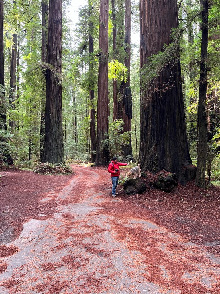
Back at camp we did laundry, made dinner and retired to the comfort of Boo for the night.
Around 2:30 Boo began shaking wildly, waking everyone up in a panic. Erich thought a bear was outside rocking the trailer, but midway through the shaking our cell phones went off with an earthquake alert.
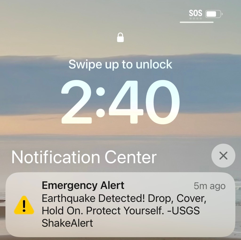
The shaking lasted less than 10 seconds, but felt much longer, and now all the power is out and we have no cell phone coverage. We are now very glad for our wide open site and self-contained Boo!
Confused roosters have been crowing all night as we ride the aftershocks, and Phoebe has been hugging the floor of Boo like a flatworm, thinking there is no safety anywhere, and longing again for her couch.
Fern Canyon
Monday, December 19
I think my hair began to grow again at Fern Canyon.
Not to dwell on the negative, but between the deaths of numerous beloved family members, COVID, and the disappointing sale of our practice, my hair had been shedding in sheets.
That may have changed yesterday.
The day dawned crisp with frost and we watched for icy patches on the road as we reluctantly left our campsite at Jedediah Smith.
The drive south took us right along the coast, and the wave scalloped, sandy beaches stretched to the horizon before we swerved inland again and took a turnoff onto Newton B. Drury Scenic Parkway.
We wound through another grove of old growth redwood, careful on the thick ice which had been well marked by the park rangers.
We turned off at Elk Prairie State Park Campground, where we were told that the elk had found greener prairies and moved south. Nevertheless, the campground is beautiful-old growth trees, redwoods, spruce and Douglas fir, at the edge of a large golden meadow.
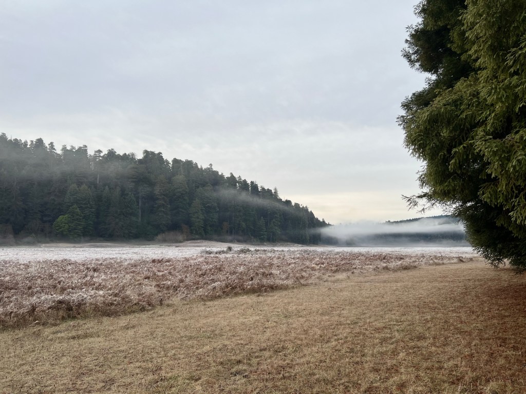
The visitor’s center sits in an old, cozy log cabin with a central stone fireplace and free coffee and tea, over which I learned that the snaking bark of each redwood is different, like fingerprints, and becomes more ridged and prominent with age. I am truly smitten with these unique giants…
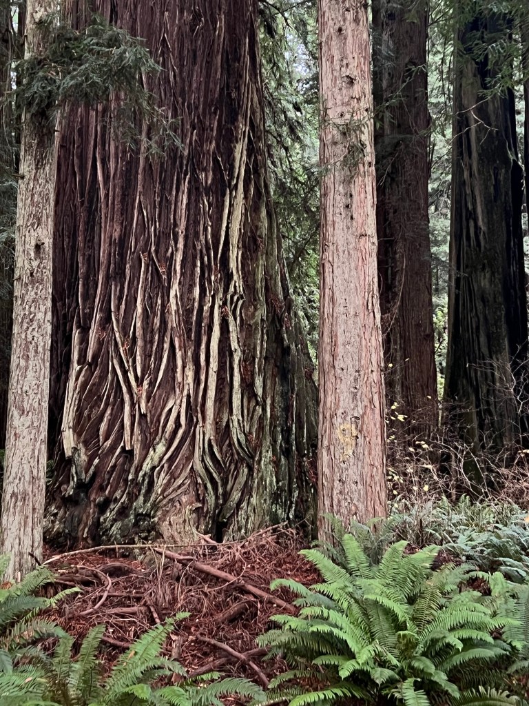
A friend had told us about Fern Canyon, at the Pacific edge of the park. She said it was bit of a drive, but worth it.
Fern Canyon is reached by a one lane dirt road that was quite rutted from the winter rains. It runs along Gold Bluffs Beach, where Phoebe ran for miles on the grassy, sand laced dunes in the hopes of tiring her out before leaving her in the car for our upcoming hike (no dogs allowed on any trails).
Two stream crossings later we arrived at the trailhead. A sun dappled path twisted through mossy alder to arrive at another stream, where the canyon began. I was grateful for my “Alaskan sneakers,” my waterproof Xtratuff boots that had me splashing happily upstream as the few other hikers carefully picked their way over rocks at the edges of the canyon.

Words really fail to describe this place. All the palate of greens-mossy, forest, chartreuse, kelly and lime-climbed the canyon walls in a gentle, soft fur of ferns. A mist rose from the surrounding hills and settled in the canyon, and the sound of water, sluicing down the creek and bubbling down the fern-covered canyon walls, was everywhere. The feel was primeval, as though at any moment a pterodactyl would swoop overhead.
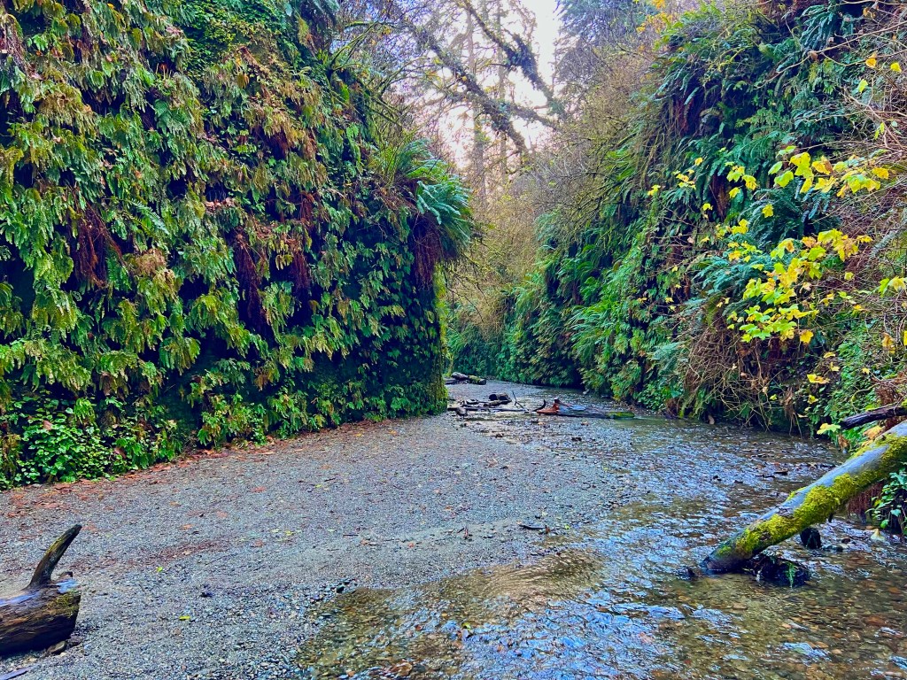
Something about this place tickled the deepest aspect of my DNA-connecting me to a primordial past and a feeling of rebirth at once. I don’t know if it was this prodding my stem cells, or just the relief of retirement, but when I brushed my hair last night there was a difference!
Oh, California!
Sunday, December 18
Magical-that’s the word that best describes yesterday.
Awaking in the redwood forest and walking Phoebe along the banks of the frosty Smith River as the sun peeked promisingly between the trees.
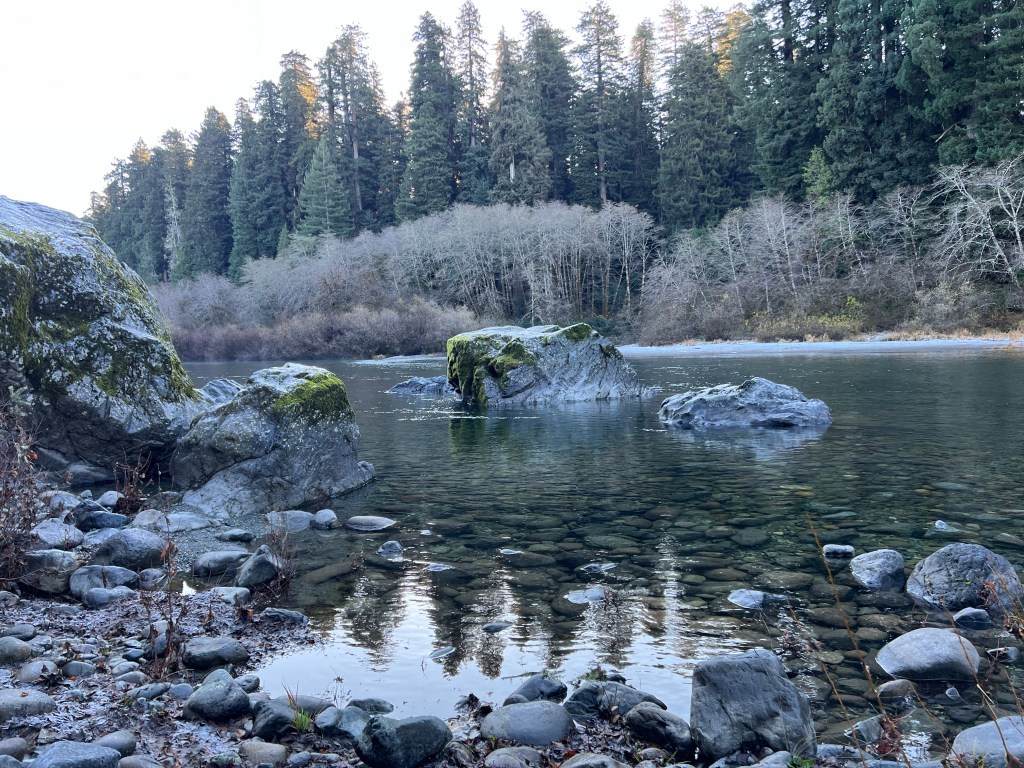
After breakfast, we drove winding highway 199 to Crescent City. The harbor was aglow in golden sea spray, sea lions barked from the rocks and otter bobbed in the kelp beds. California was welcoming us in style!
It was low tide, so we were able to walk out to Battery Point Lighthouse, one of the first established along the West Coast to guide the redwood-laden schooners back to booming San Francisco in the 1850s.
The Del Norte Historical Society rescued it from oblivion in the 1960s, and it remains a working lighthouse with a twist. Though fully automated, to keep the building in shape the society has established a brilliant maintenance system-people from all over the country apply to live in the lighthouse for one month in exchange for caretaking and giving weekend tours.
We were lucky enough to arrive on a weekend and got a wonderful tour of the place, restored to 1850s glory.
The first lighthouse keeper came west with a friend looking for gold in the late 1840s. He went bankrupt and ended up at the lighthouse while his friend struck it rich at Sutter’s Mill. The romantic in me envisions him crouched before a sputtering fire in this lonely lighthouse on a scrap of rock, ruing his fate.
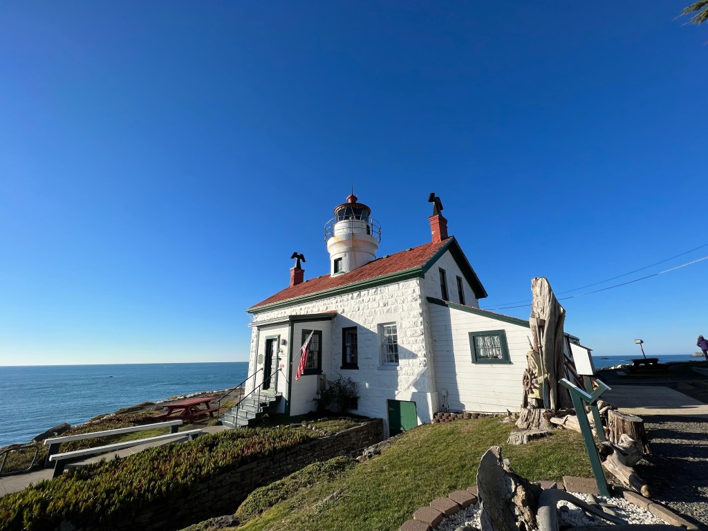
After the tour, we stopped by the National Park Headquarters in town. A helpful ranger guided us to Howland Hill Road, the former stagecoach route that winds through the heart of the redwoods in the center of the park.
As we left the pavement, the only sound was the crunching of gravel under Junior’s new tires and occasional birdsong. We bundled up against the 30 degree weather and opened all the windows and the sunroof to better experience this cathedral of nature.
Sinuous, muscular trucks of impossible size crowded around us, rising ramrod straight to the sky. The canopy began at about story 15 and blocked out most of the sunlight, leaving the fern-carpeted forest floor in deep shade.
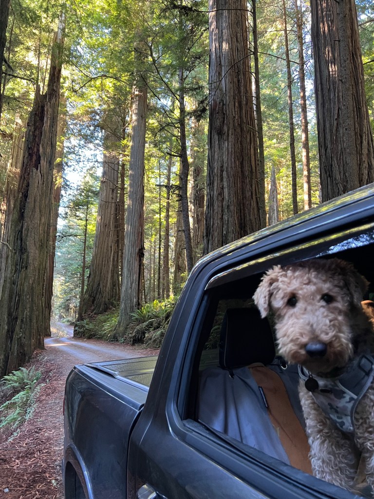
The whole effect was other-worldly, a Rousseau-esque dreamy fantasy of “Where the Wild Things Are.” I imagined travelers coming West on the stagecoach, heads out the windows and mouths agape, incredulous at the majesty of the redwoods.
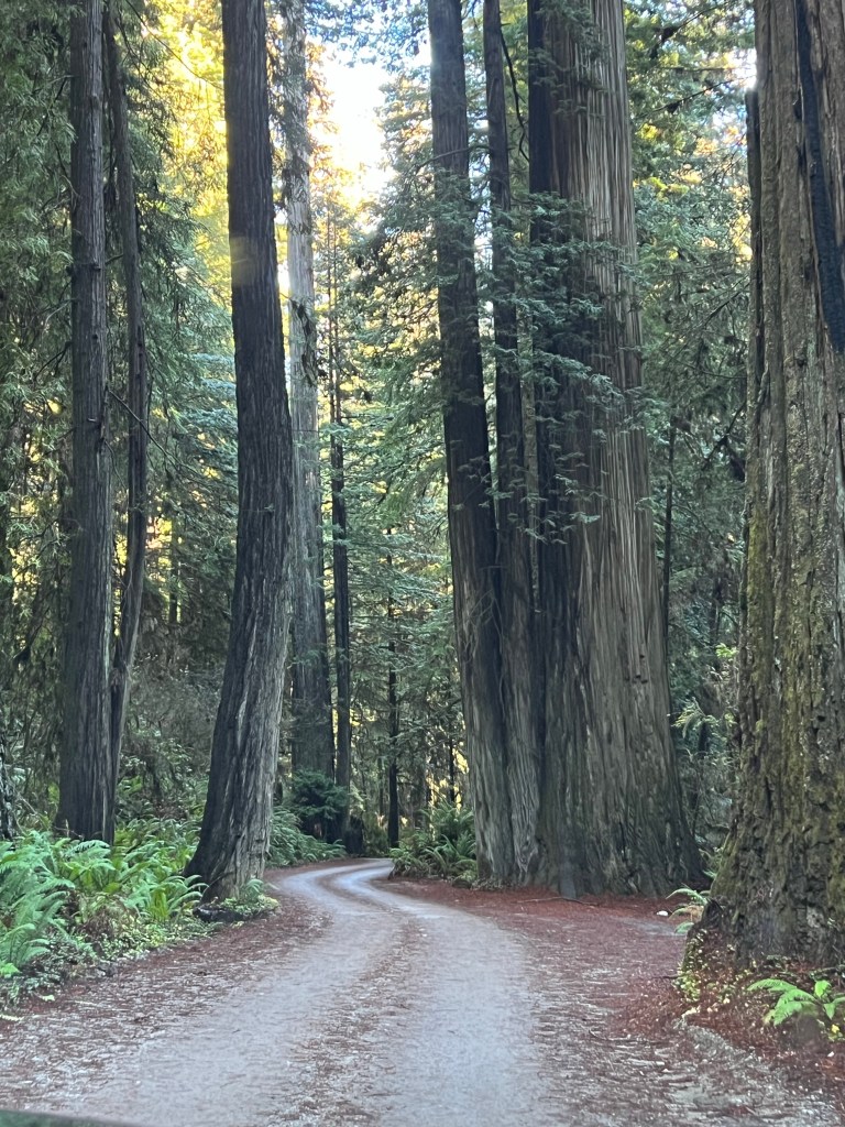
The Redwoods
Saturday, December 17
How could I have lived 56 years on this earth and not seen the redwoods?
I’m really astounded by this. I had my bucket list if the pyramids, Machu Picchu, Chichen Itza, Angkor Wat and the Parthenon, but how could I have overlooked such an amazing place?
Sometimes we are blind to the majesty of our own country…
We are camped in a not-to-be believed grove of mammoth redwoods. The park is mostly empty this deep into December, which adds to the sense of wonder as we walk, tripping over roots, as we look up…and up.
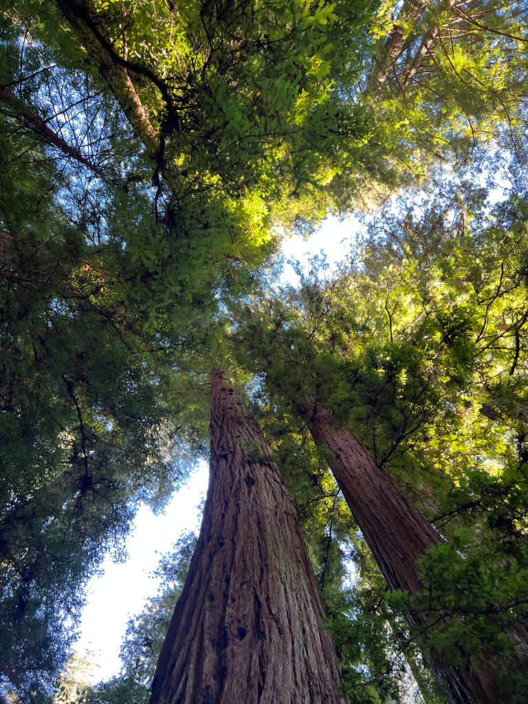
We started from Cape Blanco early yesterday, the grass crispy with frost as we walked to the Pioneer Graveyard to stretch our legs before the journey. Only a few sturdy marble markers remain on the windswept golden meadow, but attested to long lives lived here in he 1800s.
Perhaps the salt air?
The Oregon coast from Bandon to the California border resumed it’s northern feel-craggy sea mounds crowned with nature’s bonsai and narrow canyons carpeted with walls of iridescent green ferns.
Phoebe, our quintessential beach girl, sat with her head out the window taking in the smells of low tide. She’s limping a bit after our walk (her run) at the Cape yesterday so we opted for a rest day and just enjoyed the view.
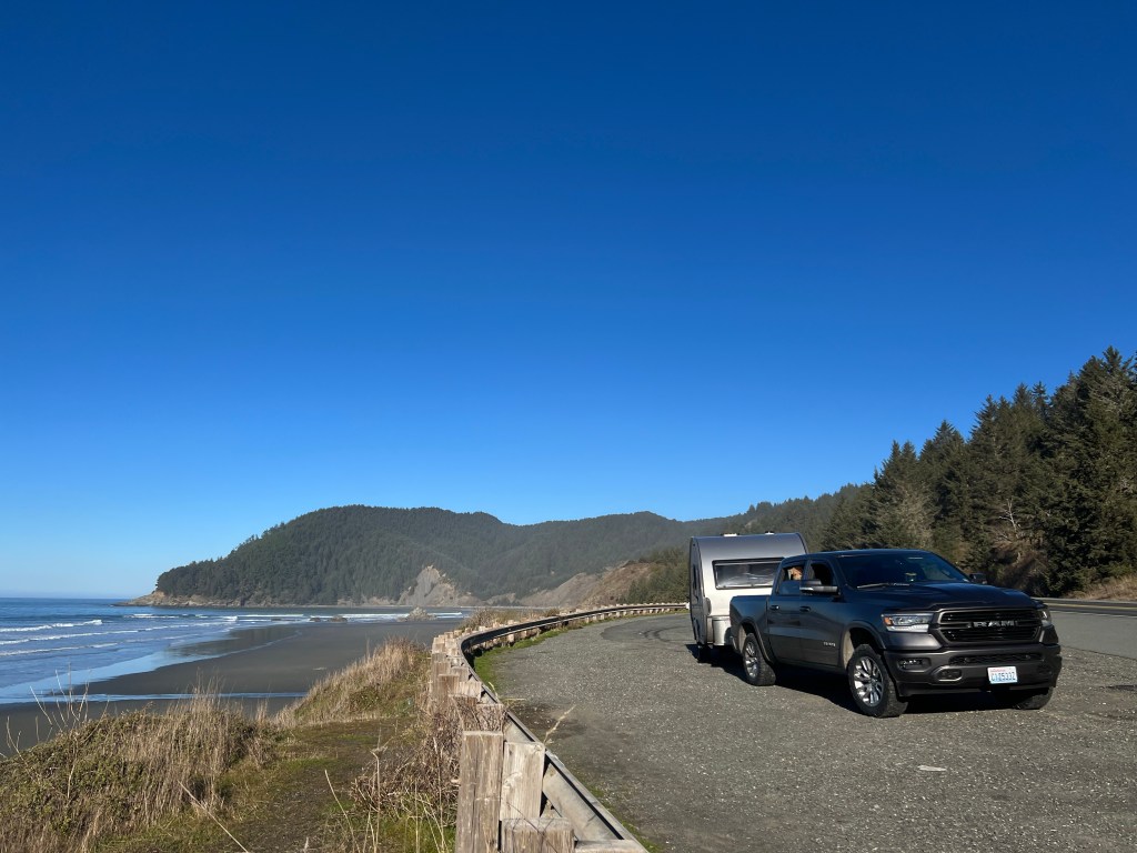
Crossing the border the scene changed rapidly as we swerved inland, becoming more agrarian. Looking out over the flat fields it was difficult to believe that groves of giants awaited us.
We had heard from several friends about the beauty of Jedediah Smith State Park, as well as the small camping sites suited for tents or very small trailers. As we pulled in, trees crowded us from all sides and we were grateful for Boo’s tiny footprint.
Our site here is simply beyond description-nestled right on the river with the biggest tress I’ve ever seen surrounding us, and the nearest neighbor 100 yards away.
This is camping as we like it-serene, isolated and with a profound sense of wonder at the beauty of nature.
For the first time in the trip we were able to spend time outside at camp. Erich and Phoebe explored the river while I sat on a redwood stump playing guitar. We built a fire and roasted sausage for dinner, then sat listening to the crackle of the flames and our audible book “The Oregon Trail” as night overtook us.

Small Town Life
Friday, December 16
We’re camped 20 miles south of the small town of Bandon, and yesterday was dedicated to getting Junior back in fighting shape. This meant spending the day in Bandon, pop. 3331.
We started with breakfast at “The Station,” a railroad-themed diner that’s been in business since 1970 and whose parking lot was crowded with work trucks, which is usually a good sign.
We were greeted with “Good mornin’ darlin’s” and as we tucked in to our simple, hearty breakfast we heard the long-time patrons and servers exchange local gossip and part with “See you tomorrow-love ya!”
Then on to the local NAPA where Erich wanted to buy a battery tester to investigate Junior’s latest email (yes, out truck actually sends us emails!) that the battery needed “attention.”
The gruff-looking shop attendant asked “Now, why would you want to spend all that money?” and proceeded to test all Junior’s electrical systems and pronounce him fit: “I don’t know what that truck’s goin’ on about!”
Then, the tires. Having dealt with our local branch of “Discount Tire,” with disinterested employees irritated to be removed from their cell phones, we weren’t expecting much. We were told our tires should be in from Medford at 11 am and if we came by at noon we should be on our way by 12:45. Right.
As we pulled in, an attendant was waiting for us, directed us to a bay in which sat our sturdy new tires. A gang descended to replace them as we played with Sampson, the owner’s 7 month old airedale puppy bedecked in a Christmas bow. We were on the road by 12:30.
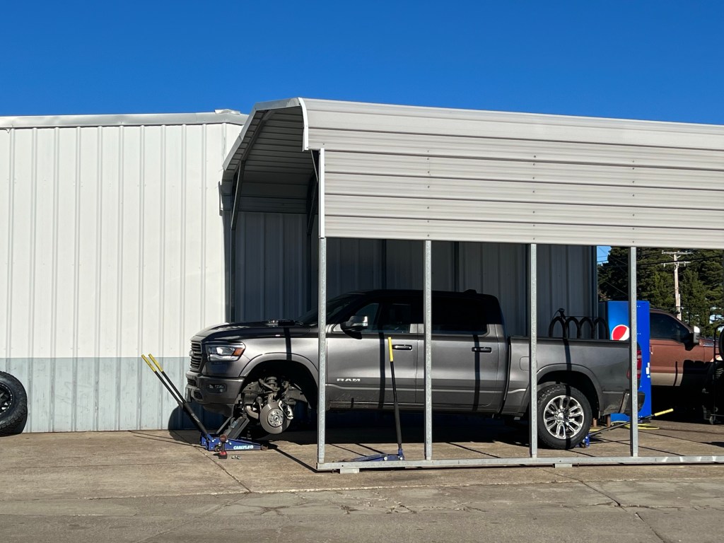
Our last stop was the market at Langlois, a small building with a wooden boardwalk and two rooms-one for groceries and the other for alcohol.
I was on the hunt for chicken breasts for last night’s Instapot Greek chicken, and when I couldn’t find them, all of the employees, owner included, joined in the hunt. I was taken to the back storage to see if anything I was looking for was in their freezer awaiting stocking. Then the owner said, “oh yes, I remember, Randy brought some in a few days ago,” and produced 2 lovely frozen chicken breasts from a local farm. “I can’t guarantee they’re organic, though,” he apologized.
As we walked back to the truck we looked at each other and started laughing. How ironic to think we were from “civilization” when we were just schooled in civil behavior by a small town.
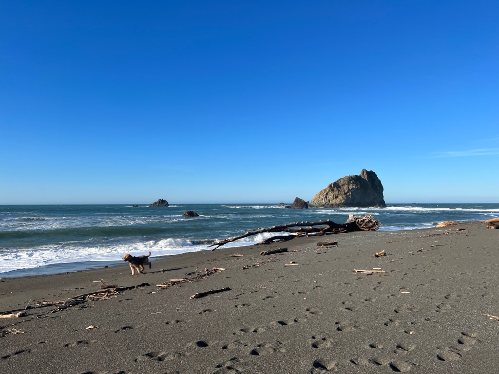
Junior’s Bad Day
Thursday, December 15
Junior had a tough day yesterday.
The day began with such promise-a soft pastel sunrise at low tide and Phoebe running carefree on Tillicum Beach.
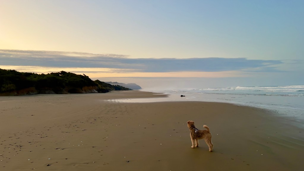
As we packed up to leave, Junior emailed us to say he was having electrical issues. A thorough check disclosed no obvious problems and we hitched up and moved on, our destination Cape Blanco, just south of Bandon, OR.
It was another lovely, sunny day with mist winding through the valleys and a thin crust of ice on the sand dunes outside of Florence that sparkled like diamonds in the wake of Phoebe’s gallop.
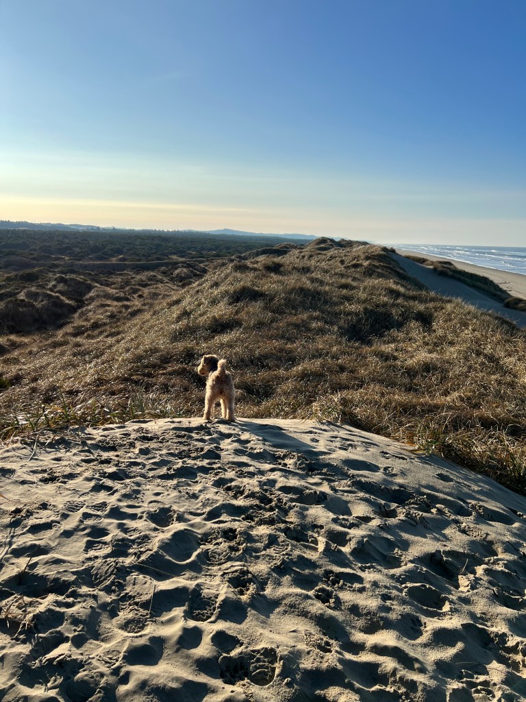
We pulled over just south of Hecata Head to get a shot of the lighthouse in the glow of sunrise and heard a chorus of seals greeting the day. We couldn’t see them at first, but suddenly the were everywhere, on every exposed ledge and nook, auburn carpets of seals!
As we drove south, the land became softer, rolling dunes replacing basalt crags and the towns becoming more workaday. I had always imagined Coos Bay to be similar to Gig Harbor, but it is definitely more of a gritty working port with no-nonsense tugs and barges crowding its waterfront.
We were making amazing time, looking forward to a late afternoon photo session at the Cape Blanco lighthouse, and then it happened.
On a two lane stretch of 101 coming into a blind curve we heard a large “bang” and our caravan jerked wildly. I imagined Boo uncoupled and on a rampage into oncoming traffic, but it soon became clear that we had blown a tire on Junior.
Erich pulled over on the skinny shoulder to change out the left rear tire and I spent the next hour pacing nervously across the blind curve like a manic hen to warn drivers that he was sprawled on the roadway just ahead.
Tire changed, we limped slowly into Bandon, 25 miles south and met the fine folks at South Coast Tire. They were incredibly helpful and kind as they examined the 6 inch gash that cut through all the steel belts. They emphasized that it must have been a heck of an object to cause such damage and that, sadly, the damage was irreparable.
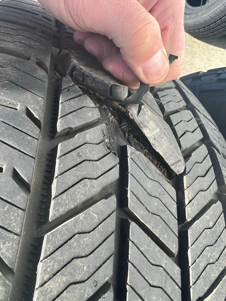
At this point it would be helpful to understand something about Erich-he is an absolute nut about tires. He researches them endlessly and perseverates weeks before making a decision. He had these tires special-ordered for our trip and thus, unfortunately, they are impossible to find. As Junior is AWD, all his tires have to match, so we ended up having to buy a whole new set of whatever we could get (for Erich akin to an oenophile having to drink only house blend for months). They will be installed later today as they’re coming in from Medford.
In the meantime we’re happily camped at Cape Blanco, warm and safe, and were even able to watch the sunset at the lighthouse.
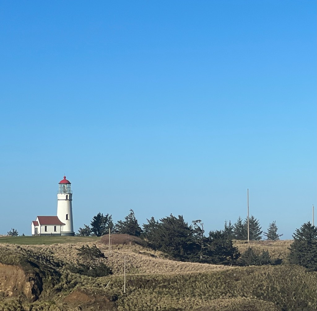
Junior, however, emailed us again this morning saying his electrical issues continue and he’s missing a tire….
Yachats Therapy
Wednesday, December 14
Almost a week retired and I’m starting to need to include the day in my journaling…
It’s early morning and I’m nestled in Boo, multicolored Christmas lights hanging above me, warm Nespresso in hand, listening to the thundering surf. Life is decidedly better today.
It’s amazing what attitude does for you. As the saying goes: “If you think you’re going to have a good day or a bad day, you’re right.”
After a good night’s sleep, a hot shower and non-exploding Instapot oatmeal we struck out for Yachats.
I’d heard all manner of good things about this “Gem of the Oregon Coast,” and all proved right! A funky little town with spectacular scenery and lovely people. Unfortunately, between the time of year and a recent storm (which we experienced in Cannon each but was worse here) the restaurants and galleries we heard about were mostly closed, but, oh the scenery!
Just outside Yachats is Cape Perpetua, a rugged outcropping of basalt, hollowed out at intervals by the constant pounding of the waves to create chasms like “Devil’s Churn.”
Reached by a path down moss draped hills, the jagged, dark basalt cliffs are pockmarked by tide pools and doused by waves. The sea forces itself up through narrow gaps in the rock, exploding dramatically upward in a spray of mist. On this cold December morning, all was coated with a thin layer of ice and Phoebe whined constantly, telling us she’s seen much safer beaches.
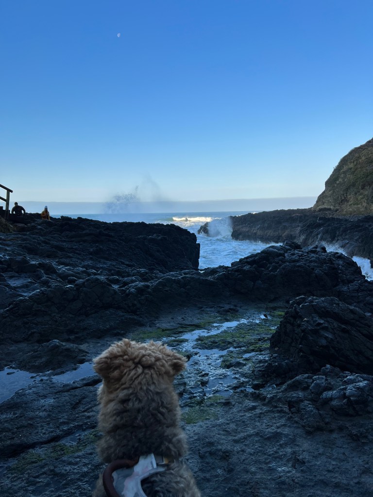
The path became more gentle and wound through old growth forests, wind- sculpted pine and past more placid coves to a visitor’s center with an expansive view of the Pacific and a ranger to guest ratio of 3:1. We spotted a few whale spouts/blows and why not? Who wouldn’t want to frolic and feed on this beautiful coast?
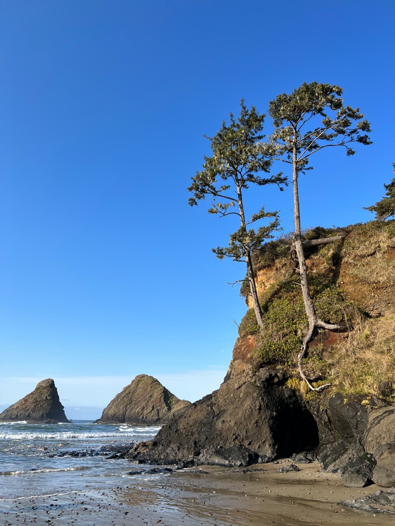
A little farther south on the coast is Hecata Head, another basalt outcropping crowned with a lighthouse where Phoebe found a beach much more to her liking and we poked around sea caves at low tide.
A well graded path brought us from the beach to the lighthouse keeper’s house, a white and red New England clapboard garlanded for Christmas. A short climb later and we were at the lighthouse, perched sturdily atop the cliff and surrounded by a well manicured lawn. We were the only people around, and sat on a bench in the warm winter sun looking for whales.
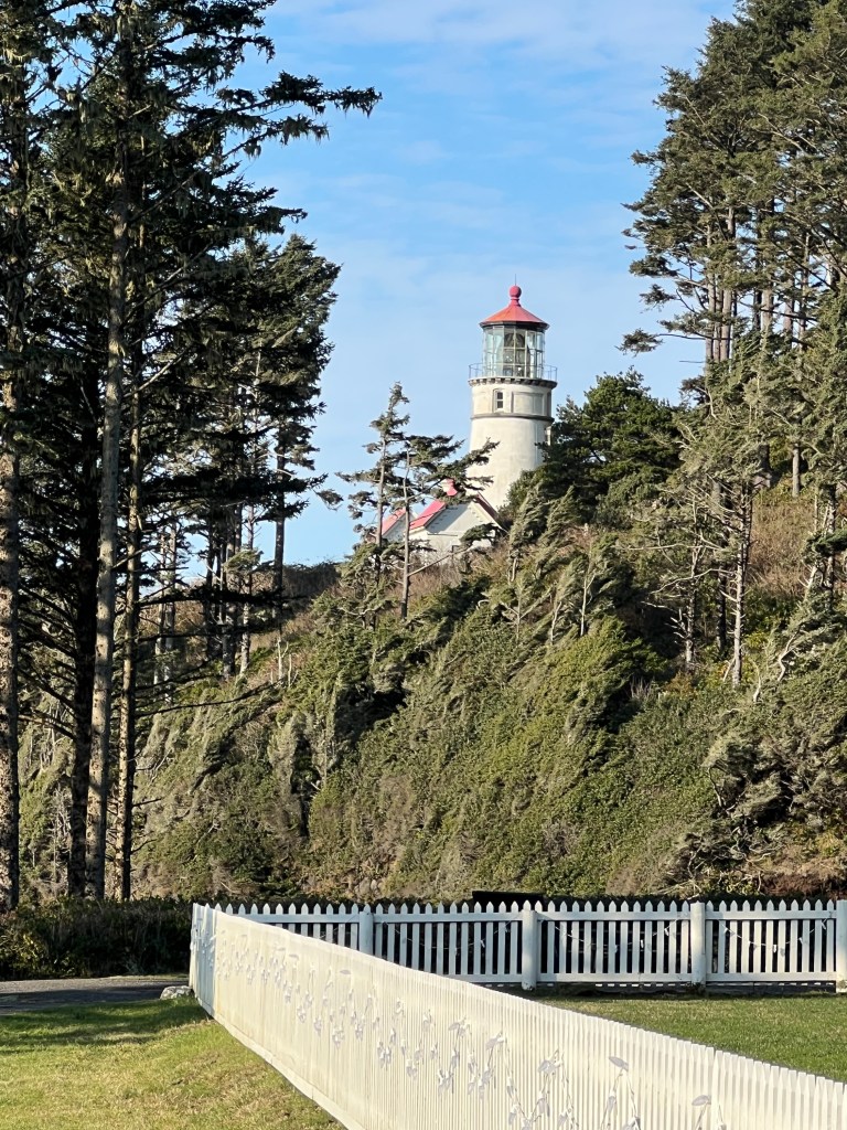
After such a lovely day all manner of things seemed much kinder, including our Norwegian neighbors.
Turns out they’re about our age and are traveling the world in their beefy overlander. They arrived in Nova Scotia in late February, spent the spring and summer crossing Canada and are on their way to the tip of South America, South Africa and up through Morocco, before returning to tour Europe.
That has us googling their ride. Hmmmm….
Adjustments
December 13
Adjustments. That’s the name of the game today.
Yesterday was a bit of a mixed bag. We extricated Boo from her bog with a minimum of mud splatter and began our journey south to Tillicum Beach. For the first time it wasn’t raining and the trees were free to exhale, their breath lacing mist through the hills. We followed 101 south in view of the still storm-driven Pacific, thundering wild and wonderful around the sea stacks.
The sun (yes really-the sun!) came out around Lincoln City and we stopped for a Phoebe beach run. The sand is like nip for her, and sends her into ecstasies that have her bucking in several directions at once. This never fails to warm our hearts.

Back in Junior the drive began to feel too long. We crawled millimeters on the Rand McNally atlas and tempers frayed. Epochs later we arrived and secured a lovely campsite with a stunning Pacific view perfect for sunsets and attempted to reset our moods with another beach walk.
We returned to our campsite to find that a taciturn Norwegian in a Unimog had completely blocked our view. Erich then tripped over Phoebe and they both fell, which set their relationship back years. Meanwhile, I struggled to cook pot roast in the Instapot, dancing around the thing with a pair of tongs trying to vent it before it exploded only to discover, after 90 minutes of cooking, that it hadn’t pressurized at all!
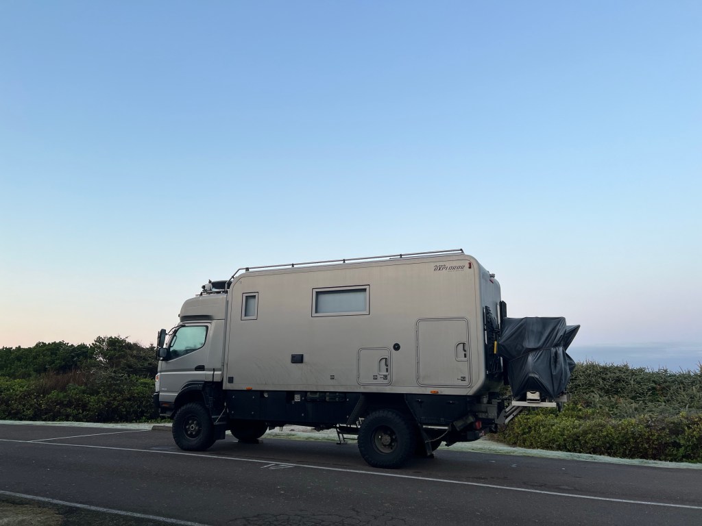
Our sheer amount of stuff (we are packed for the winter move to Arizona as well as the camping trip) had us jostling pots, clothes, Phoebe, appliances and sleeping bags about sand-strewn Boo and ended in us retreating to opposite ends of the trailer to regroup.
Today will be a day of adjustments-reading the Instapot manual, stowing unnecessary Tucson paraphernalia and repairing our relationship with Phoebe, who doubtless dreamed of her couch last night.
And Yet Again
December 12
I’m going to need to start referring to Terri’s retirement gift of a calendar soon, but not quite yet.
I awoke by some internal alarm that told me “It’s Monday, you need to get ready for work!” As I bubbled slowly to consciousness it hit me-I don’t have to work again unless I want to! What a bizarre realization for someone who’s been in medicine since the age of 20.
The rain is lightly pattering on the roof and I’m writing by the glow of my solar powered Luci light while Erich dozes with Phoebe’s head in his lap. Those who know Phoebe realize how crazy unusual that is!
We’re off to Yachats today after a wonderful, if soggy, stay in Cannon Beach. Hopefully we will be able to suck Boo from her bog…
Yesterday was spent walking the beach by Haystack Rock and making new canine and human friends.
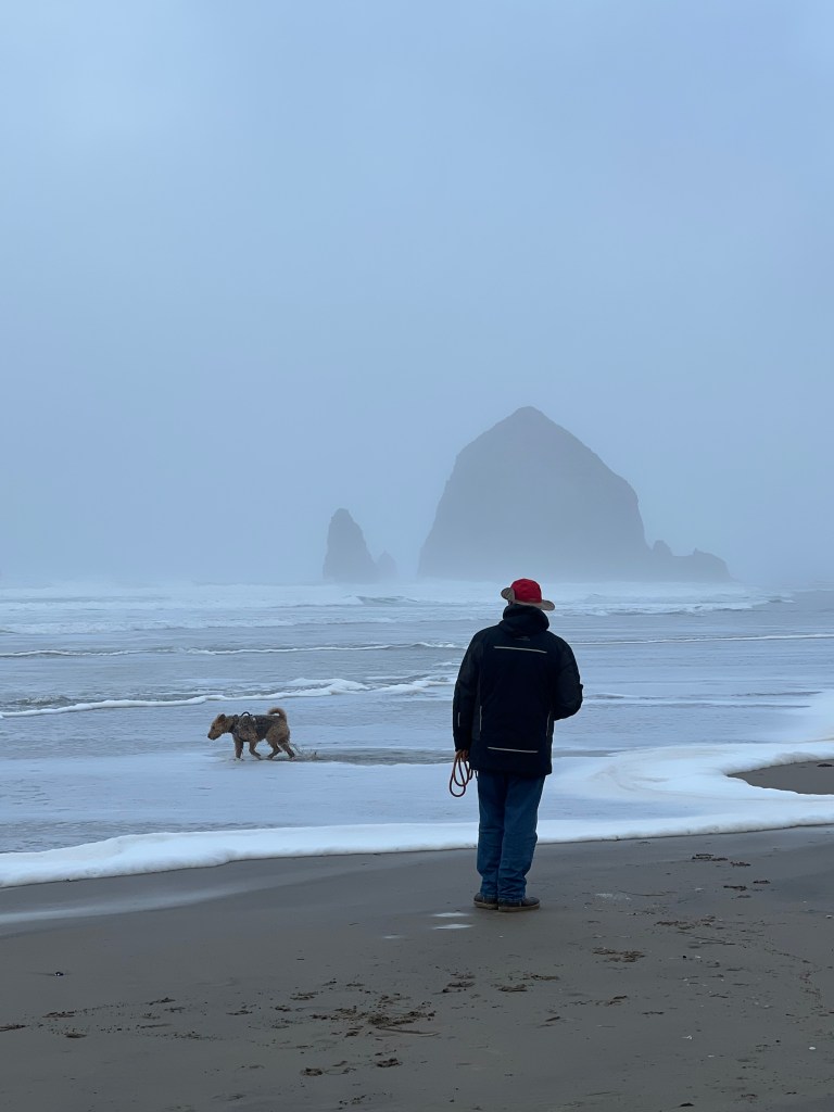
The rain began, or rather intensified, around noon and we retreated back to Boo to watch the Seahawks game. We have a large, curved window over our queen bed which allows us to stargaze at night, but when the shade is drawn it becomes our own mini movie theatre. With the help of a Roku stick, we were able to stream the game to our cozy nook as the rain pattered softly on the roof.
After dinner we walked downtown Cannon Beach along Hemlock street, a charming run of shingled cottages-turned-shops decorated cheerfully for the holidays. Few were out on a dreary Sunday evening-the multicolored lights reflected on the empty rain slicked streets and 7:30pm felt like midnight. We retired back home and drifted to sleep to the sound of, once again, the rain.
A Cold Rain
December 10
Well, no one is spending the night in the truck, but Boo is pretty tight when she’s our only refuge in the driving rain.
We left this morning in the inky darkness at 7:30 (I will not miss this) and after sunrise things didn’t improve much. A coastal flood watch was in effect due to the combination of relentless rain and high tides. We felt for Lewis and Clark, who holed up in a place they named “Dismal Nitch” on the Columbia River during similar weather in November 1805. At least we have dry clothes…or at least I have dry clothes.
We crossed the Astoria bridge, sailing over an impressive line of tankers that faded into the grey mist of the Columbia. What a difference 200 years makes.
We heard of a fish and chips take out with limited hours and as it is Erich’s mission to sample all the best fish and chips, we of course had to try it. “Bowpicker” is an old wooden fishing boat in a parking lot across from Astoria’s wonderful maritime museum and the menu is simple-full and half orders of cod and chips, cash only. It was delicious-a light tempura batter and firm but flavorful cod. My favorite is still “Go Fish” on False Creek, but this is a close second.

We floated into Cannon Beach around 2 pm and after unhitching Boo and leaving her in a bog, we headed out to explore.
A rutted single lane road wound through a forest of mixed new growth and leviathans to emerge with a breathtaking view of Indian Beach at Ecola State Park. The sea stacks stood gauzy and soft in the spray, and suddenly the rain stopped and the scene was suffused with a golden light. And this was exactly the time when Erich and Phoebe were swept by a wave and emerged drenched but otherwise unscathed. And then the cold rain started again as we made our way back to Boo and our own (much more civilized) dismal nitch.
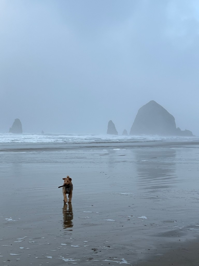
Cast of characters
December 9
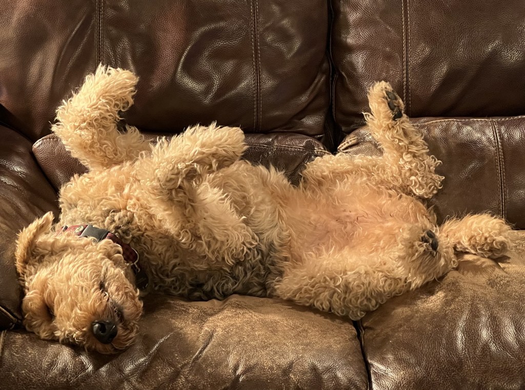
Phoebe Allaire
Phoebe is a bit of a homebody and introvert. We suspect we will pay the price for removing her from her couch without her consent.
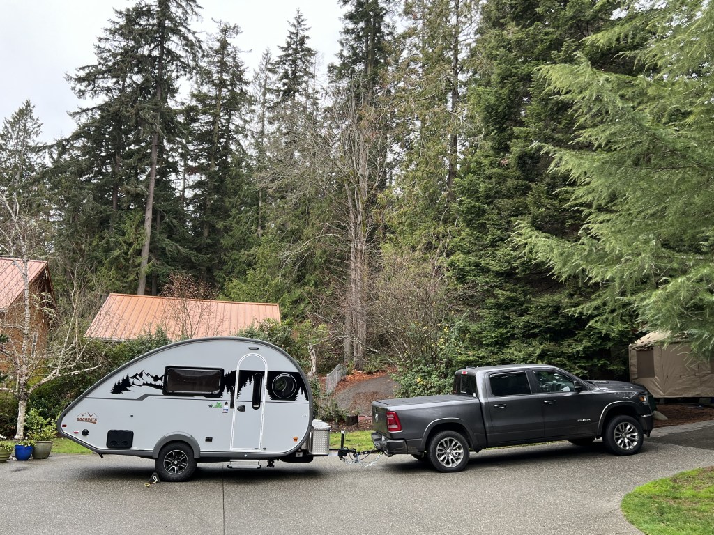
Boo and Junior
Boo is our comfy (I say this before we leave the driveway) Tab 400 Boondock. She’s small but mighty and sports a shower, restroom, two person dinette and queen-sized bed. Our home for the next month and a trial by fire of retirement spousal compatibility!
Junior is our Ram Ecodiesel which gets almost 30 mpg pulling Boo and is surprisingly comfortable. He may end up being home to one of us should compatibility prove problematic…
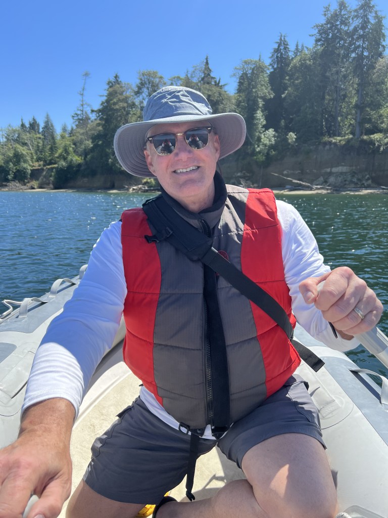
Erich
My life partner and best friend. Adventure brought us together 28 years ago and it’s pretty amazing we continue to love spending time together exploring the world. This, too, I say before leaving the driveway!
We are off tomorrow morning to the Oregon coast with an outgoing tide of gifts-wine, salsa, baked goods, chocolate and puzzles. Hopefully one of us isn’t sleeping in the truck tomorrow night…
Retirement?
December 6
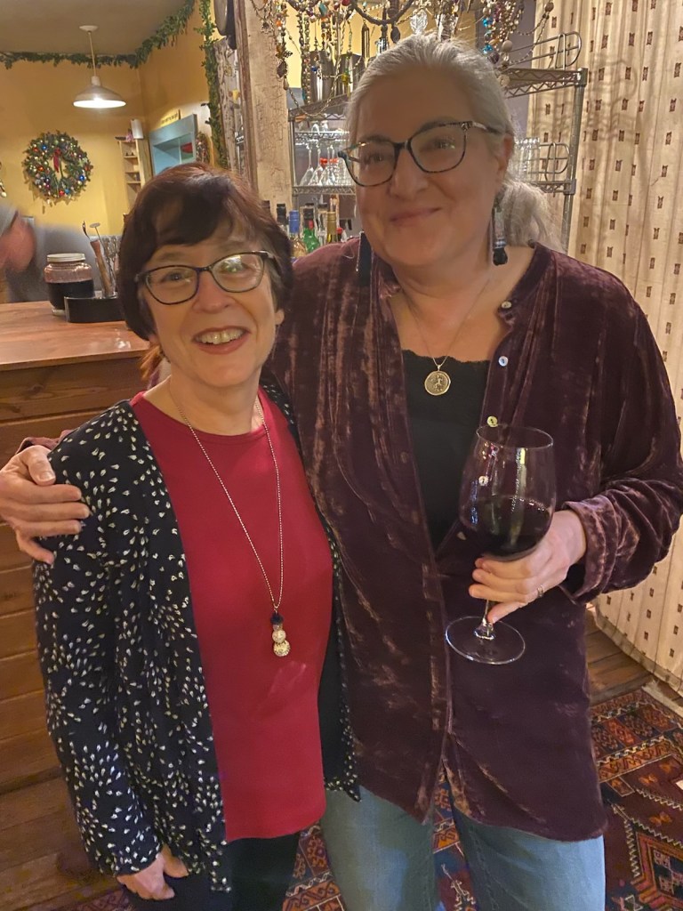
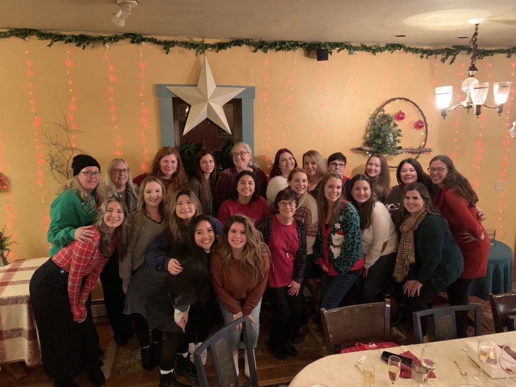
Have you ever noticed that the words “relief, grief and disbelief” seem similar?
I’ve been thinking about that these past few weeks-saying “goodbye” to cherished patient relationships up to thirty times a day has been overwhelming and has left me emotionally spent…and that’s not to mention saying “goodbye” to my wonderful work family that has seen me through so much over the past 7 years.
My BPE (Best Partner Ever) Dianne blended our traditional Christmas party with a lovely “retirement” slide show as she knew I would not go for a traditional party, and I sat watching in the corner, somewhat stunned.
Am I really leaving all these incredible people?
I’ve been walking through this last week in a bit of a daze-on the verge of tears one moment, excited about our upcoming road trip the next, and with each patient chart completed feeling a bit of relief to be escaping the relentless documentation grind that has been too large a part of my 35 year career.
I’m sure as the days go by I’ll accept that I’m not returning to the practice Dianne and I lovingly built, but at the moment all my emotions of grief, disbelief and relief are bouncing about my brain like a game of pong gone wild-and perhaps the reference to pong truly underscores that it’s time for me to retire!
Bertiewouldgo
December 3
So, who would have thought I’d ever blog?
I’m someone who eschews social media and cringes in horror when someone reviews me on our dermatology practice website (which I never check for that reason).
I’m writing now on the cusp of retiring from medicine so I can share my adventures with those I love without the stress of social media platform distractions…
I’m retiring early-at 56-due in large part to Bertie, the beautiful boy above.
Bertie died at the age of 2 of a rare spinal cord tumor.
I’ve learned many of my life lessons from dogs, and Bertie taught me my most profound one-live as fully as you can for as long as you have. He was full of life until the very end and was up for any sort of adventure. Our car sports a “betriewouldgo” sticker to remind us of his spirit and how we want to live.
He sailed Puget Sound on our boat’s bow barking at seals and crossed the Georgia Strait in a gale, standing steadfast in the cockpit getting soaked with waves. He never passed up a hike or beach walk, and was the first one in the camper for whatever adventure was next. He rode shotgun in our truck, always looking forward with excitement, anticipation, wonder and joy.
He was who I want to be…
So, my last day of work is December 7 and I’ll be the first one in the truck channeling Bertie as we take our Tab 400 down the coast of Oregon and California to Tucson, looking forward to whatever adventures we encounter along the way!

